Elevation of Chandausi, Uttar Pradesh, India
Location: India > Uttar Pradesh > Sambhal >
Longitude: 78.7796105
Latitude: 28.4480507
Elevation: 194m / 636feet
Barometric Pressure: 0KPa
Related Photos:
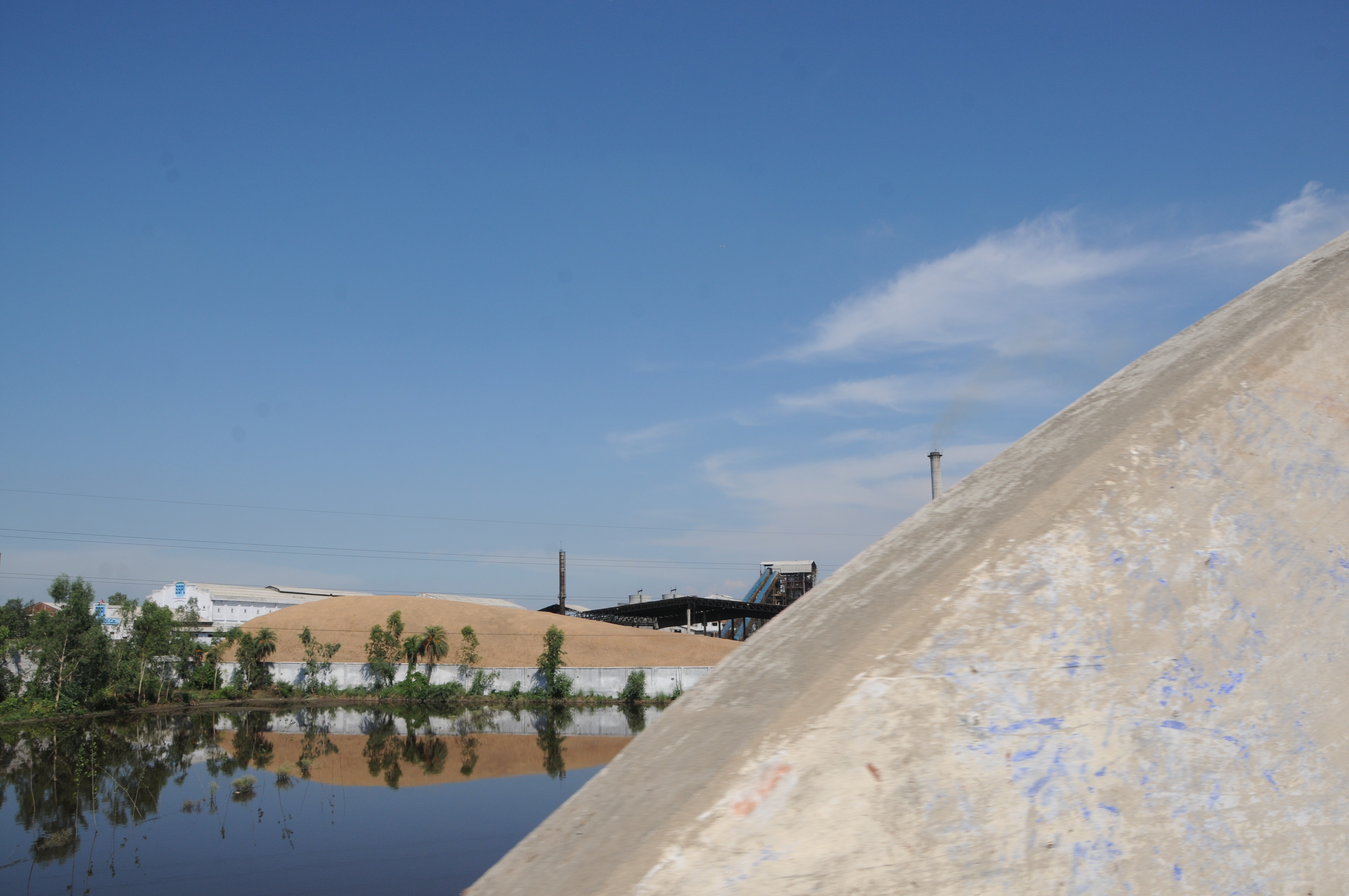
CSP_3154.JPG
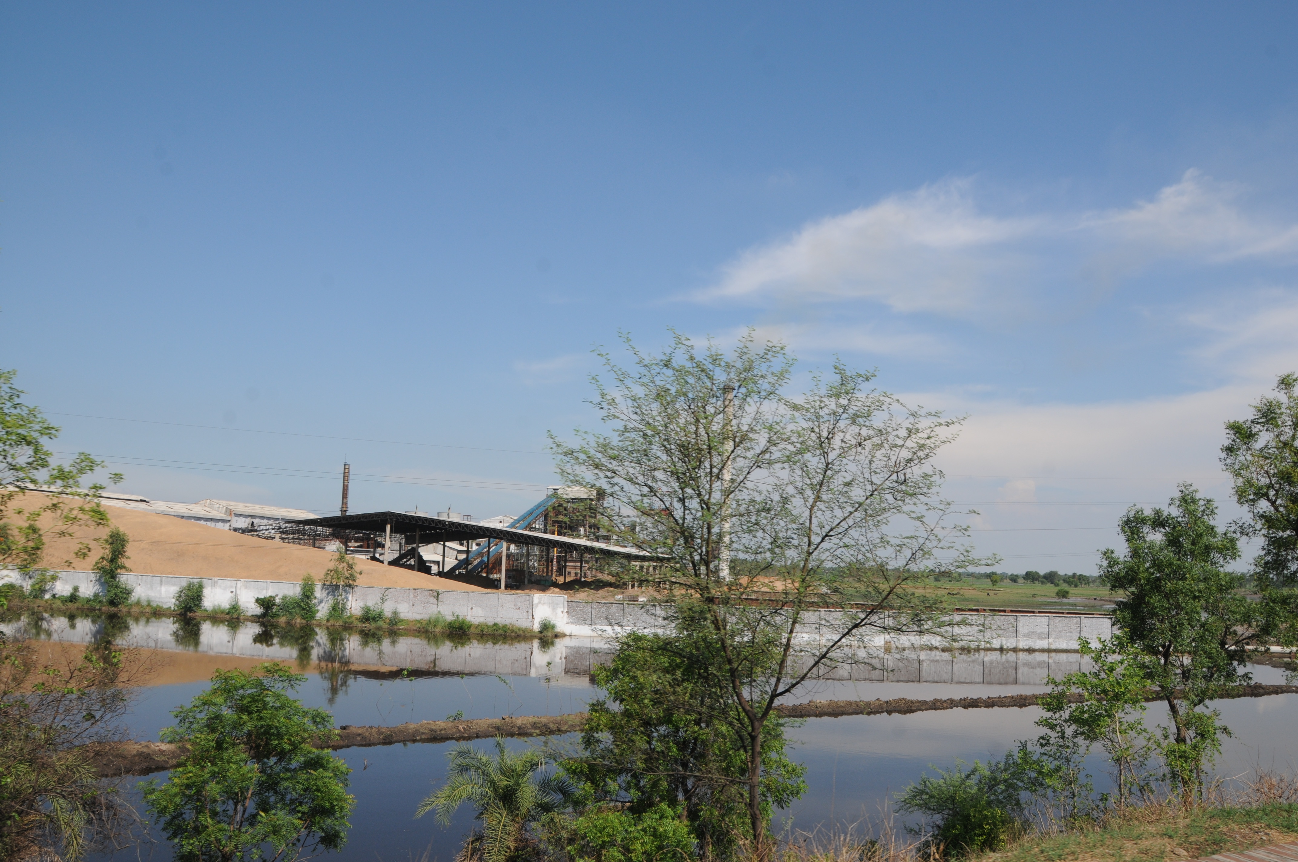
CSP_3155.JPG

Amarpur Kashi, Uttar Pradesh
Amarpur Kashi, Uttar Pradesh
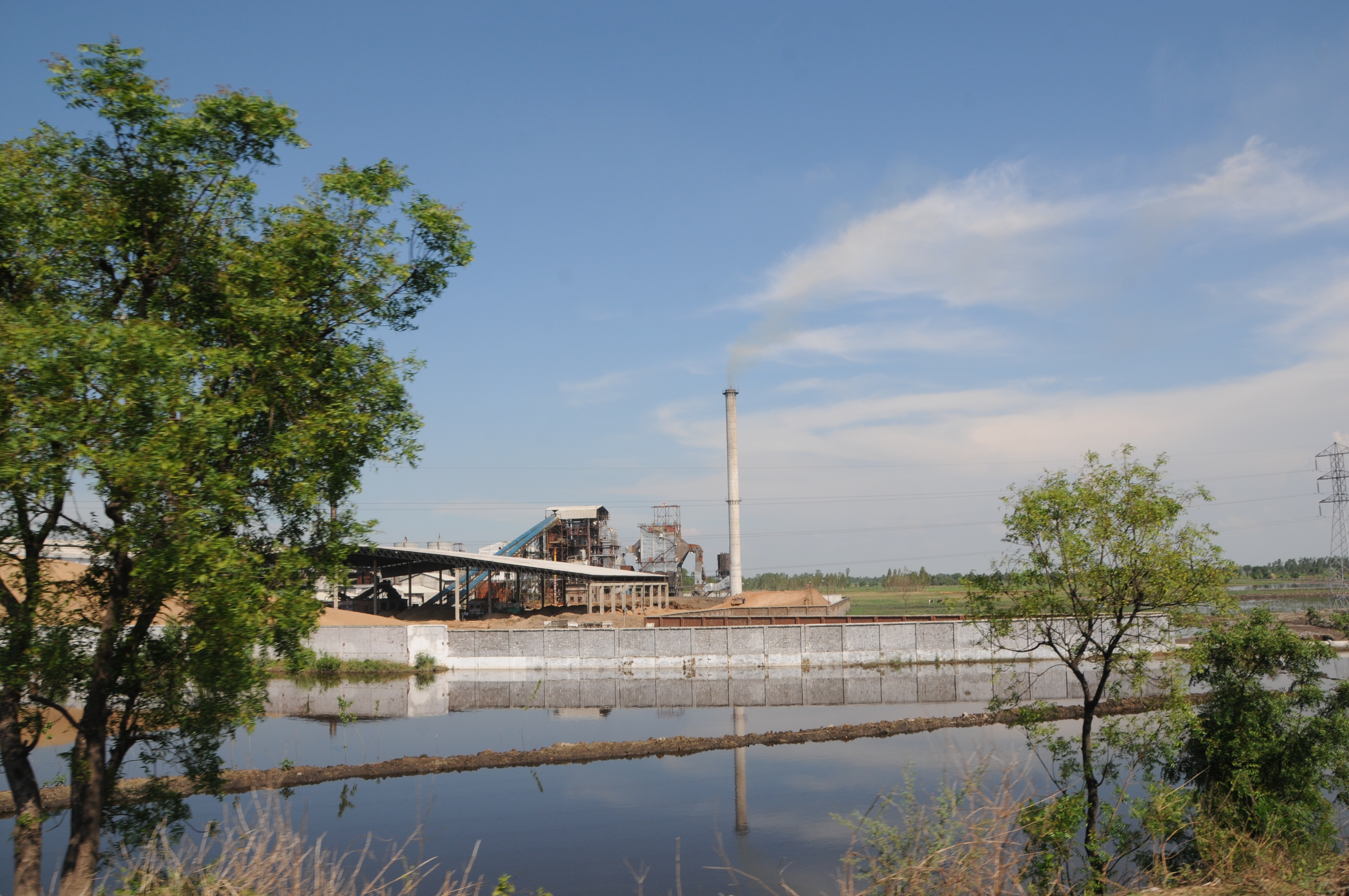
CSP_3156.JPG
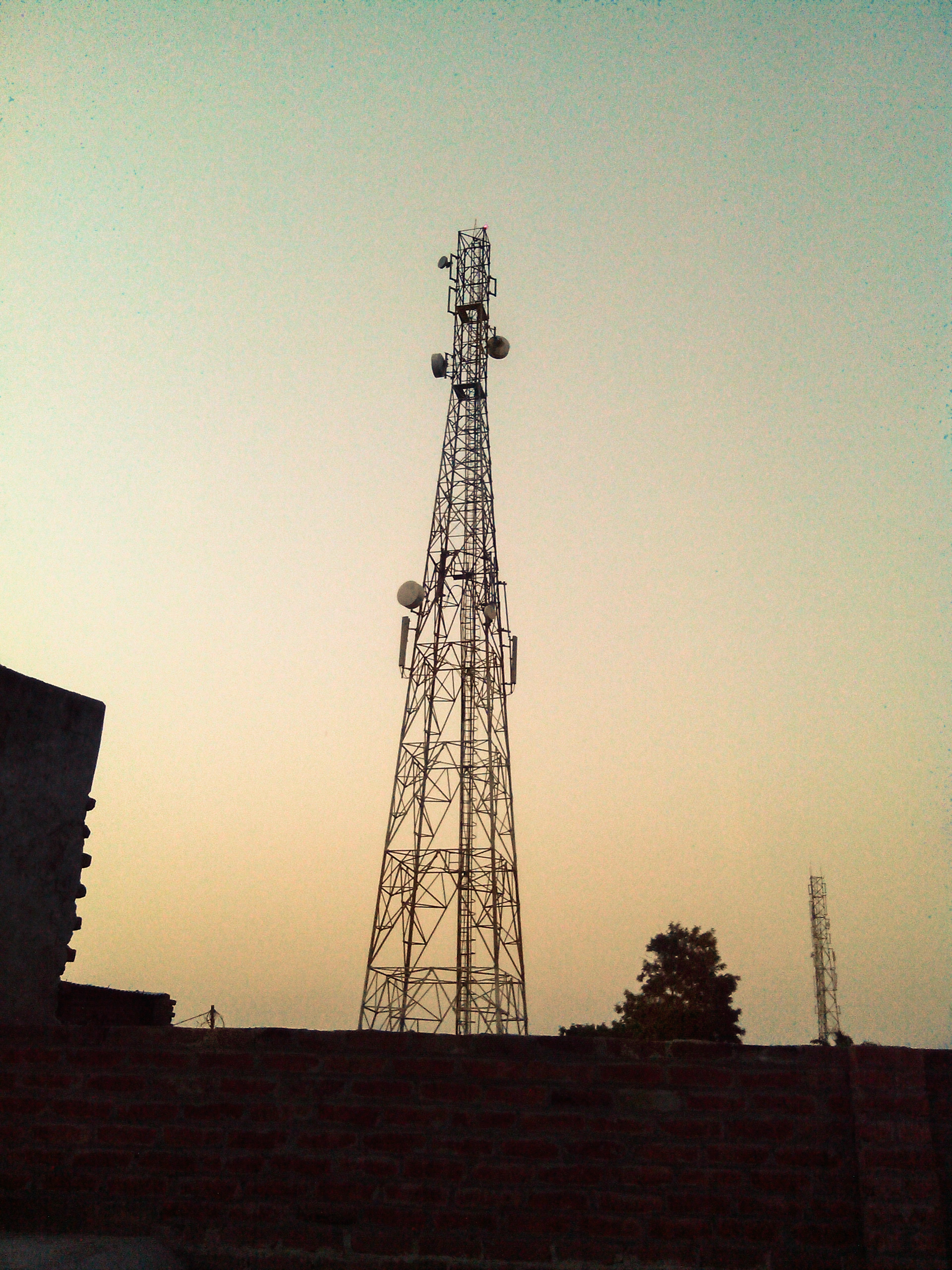
Mobile Operator Tower
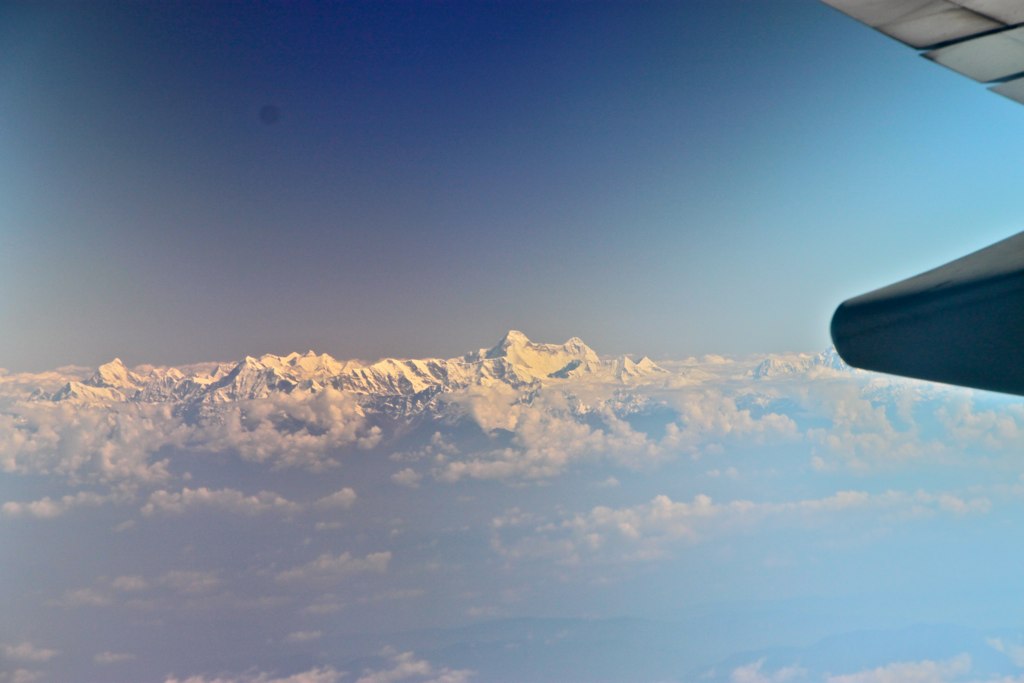
From Paris to Singapor - 16
Topographic Map of Chandausi, Uttar Pradesh, India
Find elevation by address:

Places near Chandausi, Uttar Pradesh, India:
Bilari
Kundarki
Unnamed Road
Ram Ratan Singh Memorial Degree College
Badaun
Hitesh Copy House
Moradabad
Rampur
Rampur
Balliya
Izatnagar
C. I. Park ( Netaji Subhash Chandra Bose Park) St.ram Swarup Convent
Dashmesh Nagar Colony
Bareilly
Bareilly
Thakurdwara
Rudrapur
Gularbhoj
Udham Singh Nagar
Bindukhatta
Recent Searches:
- Elevation of 10370, West 107th Circle, Westminster, Jefferson County, Colorado, 80021, USA
- Elevation of 611, Roman Road, Old Ford, Bow, London, England, E3 2RW, United Kingdom
- Elevation of 116, Beartown Road, Underhill, Chittenden County, Vermont, 05489, USA
- Elevation of Window Rock, Colfax County, New Mexico, 87714, USA
- Elevation of 4807, Rosecroft Street, Kempsville Gardens, Virginia Beach, Virginia, 23464, USA
- Elevation map of Matawinie, Quebec, Canada
- Elevation of Sainte-Émélie-de-l'Énergie, Matawinie, Quebec, Canada
- Elevation of Rue du Pont, Sainte-Émélie-de-l'Énergie, Matawinie, Quebec, J0K2K0, Canada
- Elevation of 8, Rue de Bécancour, Blainville, Thérèse-De Blainville, Quebec, J7B1N2, Canada
- Elevation of Wilmot Court North, 163, University Avenue West, Northdale, Waterloo, Region of Waterloo, Ontario, N2L6B6, Canada
- Elevation map of Panamá Province, Panama
- Elevation of Balboa, Panamá Province, Panama
- Elevation of San Miguel, Balboa, Panamá Province, Panama
- Elevation of Isla Gibraleón, San Miguel, Balboa, Panamá Province, Panama
- Elevation of 4655, Krischke Road, Schulenburg, Fayette County, Texas, 78956, USA
- Elevation of Carnegie Avenue, Downtown Cleveland, Cleveland, Cuyahoga County, Ohio, 44115, USA
- Elevation of Walhonding, Coshocton County, Ohio, USA
- Elevation of Clifton Down, Clifton, Bristol, City of Bristol, England, BS8 3HU, United Kingdom
- Elevation map of Auvergne-Rhône-Alpes, France
- Elevation map of Upper Savoy, Auvergne-Rhône-Alpes, France