Elevation of Rampur, Uttar Pradesh, India
Location: India > Uttar Pradesh > Rampur >
Longitude: 79.0249516
Latitude: 28.7893041
Elevation: 190m / 623feet
Barometric Pressure: 0KPa
Related Photos:
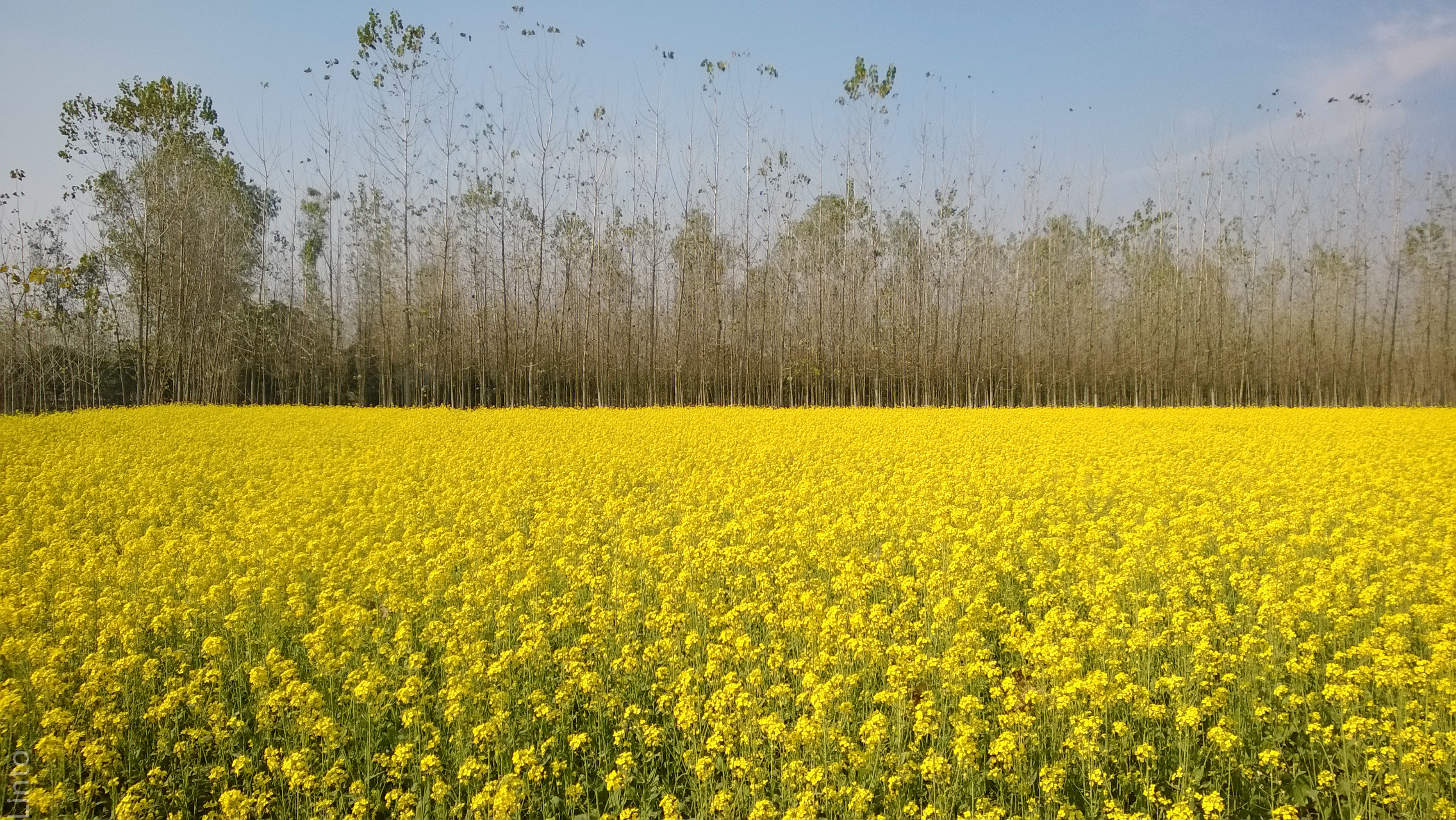
Mustard field, New Delhi
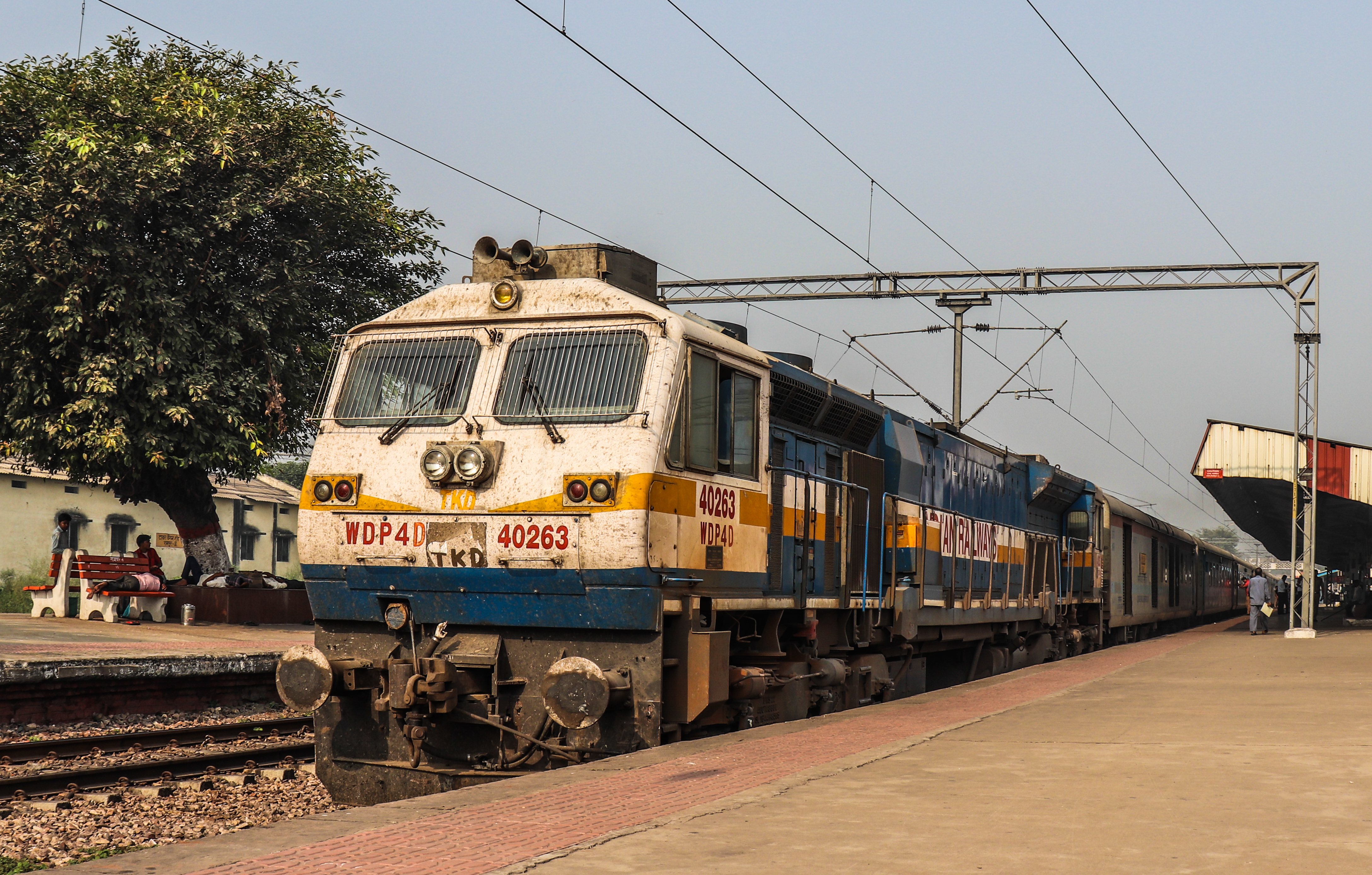
12040 Kathgodam Shatabdi Express

20170723_142205(0)

20170717_073345(0)

20170717_073325(0)

2017-05-10_08-13-05

2017-05-06_05-44-01

Nov 11

imrana alsifa

imrana alsifa
Topographic Map of Rampur, Uttar Pradesh, India
Find elevation by address:

Places near Rampur, Uttar Pradesh, India:
Rampur
Hitesh Copy House
Ram Ratan Singh Memorial Degree College
Unnamed Road
Moradabad
Kundarki
Bilari
Gularbhoj
Chandausi
Thakurdwara
Rudrapur
Bareilly
Udham Singh Nagar
Izatnagar
Bindukhatta
C. I. Park ( Netaji Subhash Chandra Bose Park) St.ram Swarup Convent
Dashmesh Nagar Colony
Bareilly
Kaladhungi
Oyo 15756 Kyari Corbett
Recent Searches:
- Elevation of 4655, Krischke Road, Schulenburg, Fayette County, Texas, 78956, USA
- Elevation of Carnegie Avenue, Downtown Cleveland, Cleveland, Cuyahoga County, Ohio, 44115, USA
- Elevation of Walhonding, Coshocton County, Ohio, USA
- Elevation of Clifton Down, Clifton, Bristol, City of Bristol, England, BS8 3HU, United Kingdom
- Elevation map of Auvergne-Rhône-Alpes, France
- Elevation map of Upper Savoy, Auvergne-Rhône-Alpes, France
- Elevation of Chamonix-Mont-Blanc, Upper Savoy, Auvergne-Rhône-Alpes, France
- Elevation of 908, Northwood Drive, Bridge Field, Chesapeake, Virginia, 23322, USA
- Elevation map of Nagano Prefecture, Japan
- Elevation of 587, Bascule Drive, Oakdale, Stanislaus County, California, 95361, USA
- Elevation of Stadion Wankdorf, Sempachstrasse, Breitfeld, Bern, Bern-Mittelland administrative district, Bern, 3014, Switzerland
- Elevation of Z024, 76, Emil-von-Behring-Straße, Marbach, Marburg, Landkreis Marburg-Biedenkopf, Hesse, 35041, Germany
- Elevation of Gaskill Road, Hunts Cross, Liverpool, England, L24 9PH, United Kingdom
- Elevation of Speke, Liverpool, England, L24 9HD, United Kingdom
- Elevation of Seqirus, 475, Green Oaks Parkway, Holly Springs, Wake County, North Carolina, 27540, USA
- Elevation of Pasing, Munich, Bavaria, 81241, Germany
- Elevation of 24, Auburn Bay Crescent SE, Auburn Bay, Calgary, Alberta, T3M 0A6, Canada
- Elevation of Denver, 2314, Arapahoe Street, Five Points, Denver, Colorado, 80205, USA
- Elevation of Community of the Beatitudes, 2924, West 43rd Avenue, Sunnyside, Denver, Colorado, 80211, USA
- Elevation map of Litang County, Sichuan, China