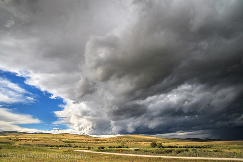
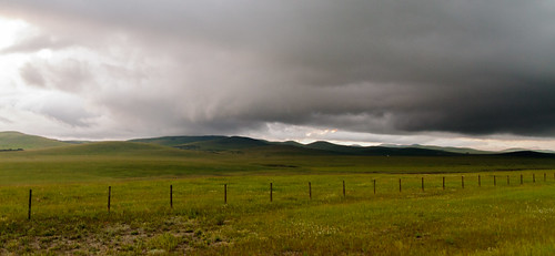
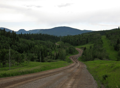
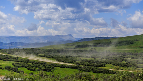
Elevation of Chain Lakes Provincial Park, 22 St, Nanton, AB T0L 1R0, Canada
Location: Canada > Alberta >
Longitude: -114.1950076
Latitude: 50.21639
Elevation: 1327m / 4354feet
Barometric Pressure: 0KPa
Related Photos:
Topographic Map of Chain Lakes Provincial Park, 22 St, Nanton, AB T0L 1R0, Canada
Find elevation by address:

Places near Chain Lakes Provincial Park, 22 St, Nanton, AB T0L 1R0, Canada:
Ranchland No. 66
412 Mountain View Pl
Longview
527 Highwood Dr
527 Highwood Dr
Foothills No. 31
High Rock Range
Tornado Mountain
Gould Dome
Funnel N4
Gass N3
Mount Gass
Funnel N3
Mount Farquhar
Mount Pierce
Baril Peak
Mount Etherington
Mount Scrimger
O'rourke W3
Ma Butte
Recent Searches:
- Elevation map of Greenland, Greenland
- Elevation of Sullivan Hill, New York, New York, 10002, USA
- Elevation of Morehead Road, Withrow Downs, Charlotte, Mecklenburg County, North Carolina, 28262, USA
- Elevation of 2800, Morehead Road, Withrow Downs, Charlotte, Mecklenburg County, North Carolina, 28262, USA
- Elevation of Yangbi Yi Autonomous County, Yunnan, China
- Elevation of Pingpo, Yangbi Yi Autonomous County, Yunnan, China
- Elevation of Mount Malong, Pingpo, Yangbi Yi Autonomous County, Yunnan, China
- Elevation map of Yongping County, Yunnan, China
- Elevation of North 8th Street, Palatka, Putnam County, Florida, 32177, USA
- Elevation of 107, Big Apple Road, East Palatka, Putnam County, Florida, 32131, USA
- Elevation of Jiezi, Chongzhou City, Sichuan, China
- Elevation of Chongzhou City, Sichuan, China
- Elevation of Huaiyuan, Chongzhou City, Sichuan, China
- Elevation of Qingxia, Chengdu, Sichuan, China
- Elevation of Corso Fratelli Cairoli, 35, Macerata MC, Italy
- Elevation of Tallevast Rd, Sarasota, FL, USA
- Elevation of 4th St E, Sonoma, CA, USA
- Elevation of Black Hollow Rd, Pennsdale, PA, USA
- Elevation of Oakland Ave, Williamsport, PA, USA
- Elevation of Pedrógão Grande, Portugal
