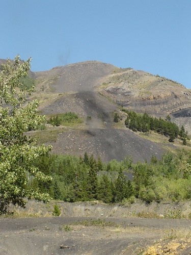
Elevation of Ma Butte, Ranchland No. 66, AB T0K, Canada

Location: Canada > Alberta > Division No. 15 > Crowsnest Pass > Coleman >

Longitude: -114.52472

Latitude: 49.7297222

Elevation: 2295m / 7530feet

Barometric Pressure: 77KPa

Elevation Map:

elevation map of Ma Butte, Ranchland No. 66, AB T0K, Canada

Satellite Map:

Satellite map of Ma Butte, Ranchland No. 66, AB T0K, Canada

Related Photos:

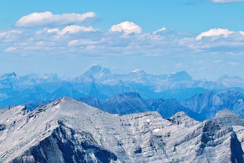
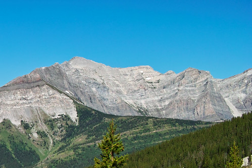
sheepmountain smithpeak mountharrison allisonpeak mountvanbuskirk gaffpeak mountsplendid mountfolk
SDIM5106 Mount Harrison in distance
windowmountain allisonpeak
SDIM4994 a view of the window in Window Mountain
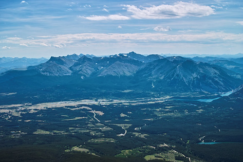
ptolemy sentrymountain mountptolemy mountdarrah mountmcgladrey chinookpeak mountmccarty mountmclaren mountcoulthard steloimountain sainteloimountain mountparrish andygoodpeak mountswope overfoldmountain
SDIM5127 Mount Ptolemy, AB
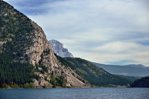
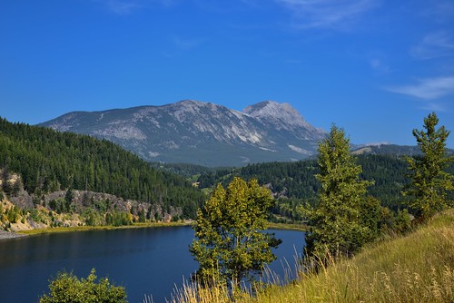
lake canada mountains nature day cloudy alberta day5 crowsnestpass canadianrockies hwy3 project365 crowsnesthighway colorefexpro crowsnestlake blueskieswithclouds nikond800e drivetowatertonab albertahighway3 crowsnestridge
Crowsnest Lake and Ridge
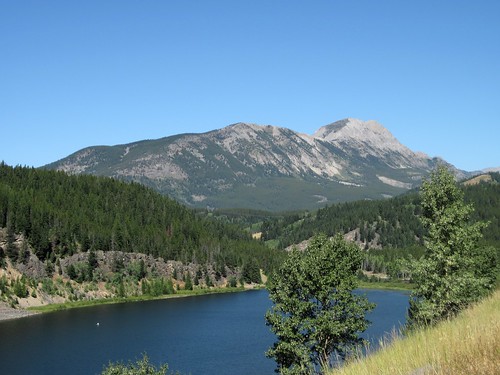
trees lake canada mountains nature day canvas clear alberta portfolio day5 crowsnestpass lookingwest canadianrockies summitlake hillsides hwy3 project365 bchwy3 mountwashburn crowsnesthighway colorefexpro grassymeadow grassyfields blueskieswithclouds nikond800e drivetowatertonab betweenbritishcolumbiaandalberta
Summit Lake and a View to Mount Washburn
mountain lake pass mount summit crowsnest erickson crowsnestpass summitlake mounterickson
Mount Erickson
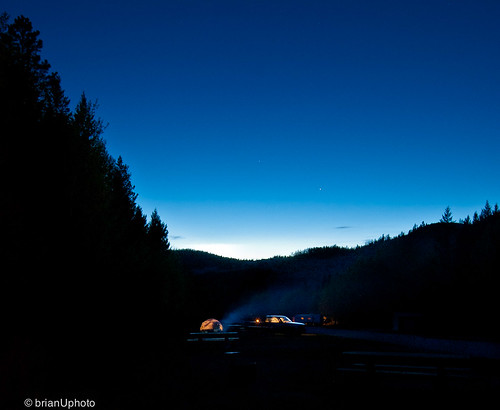
longexposure camping stars evening campfire alberta crowsnest coleman highway3 islandlake
Home is wherever I’m with you
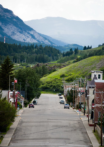
mountains alberta coleman crowsnestpass cnp
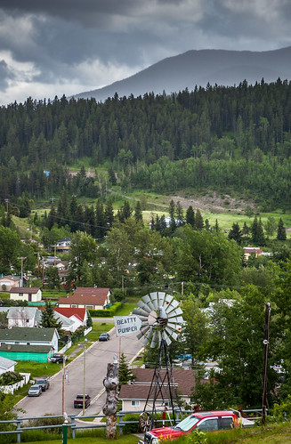
view of coleman
mountains alberta coleman crowsnestpass cnp
view of coleman
geotagged geolat496572319573991 geolon114463708896861
DSC02170.JPG
geotagged geolat496796090424144 geolon114419647347471
DSC02187.JPG
geotagged geolat496796091892333 geolon114419647396411
DSC02186.JPG
geotagged geolat496796087977162 geolon114419647265905
DSC02191.JPG
geotagged geolat496572328901345 geolon114463709470852
DSC02174.JPG
geotagged geolat496796089200653 geolon114419647306688
DSC02189.JPG
geotagged geolat496929652316891 geolon114416492123318
DSC02203.JPG
geotagged geolat496676870080863 geolon114428513951482
DSC02180.JPG
geotagged geolat496572322488789 geolon114463709076233
DSC02171.JPG
geotagged geolat496572329775785 geolon114463709524664
DSC02175.JPG
geotagged geolat496929650956652 geolon114416491825112
DSC02206.JPG
geotagged geolat496676870116801 geolon114428513929919
DSC02181.JPG