Elevation of High Rock Range, East Kootenay A, BC V0B, Canada
Location: Canada > British Columbia > East Kootenay > East Kootenay A >
Longitude: -114.66833
Latitude: 50.0366666
Elevation: 2773m / 9098feet
Barometric Pressure: 72KPa
Elevation Map:
Satellite Map:
Related Photos:
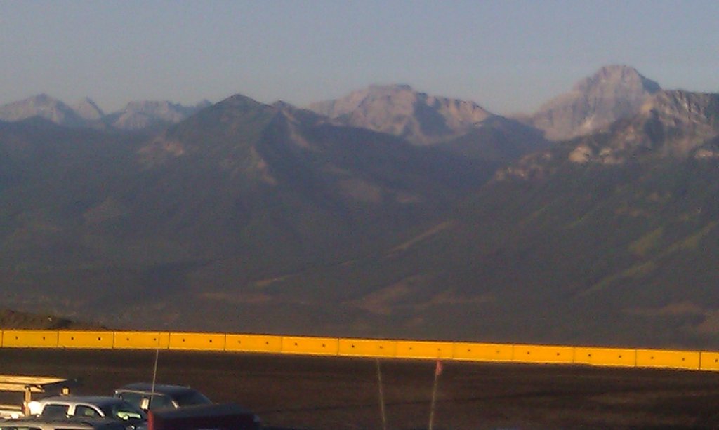
View from the 2nd floor roof @ greenhills. Looking west
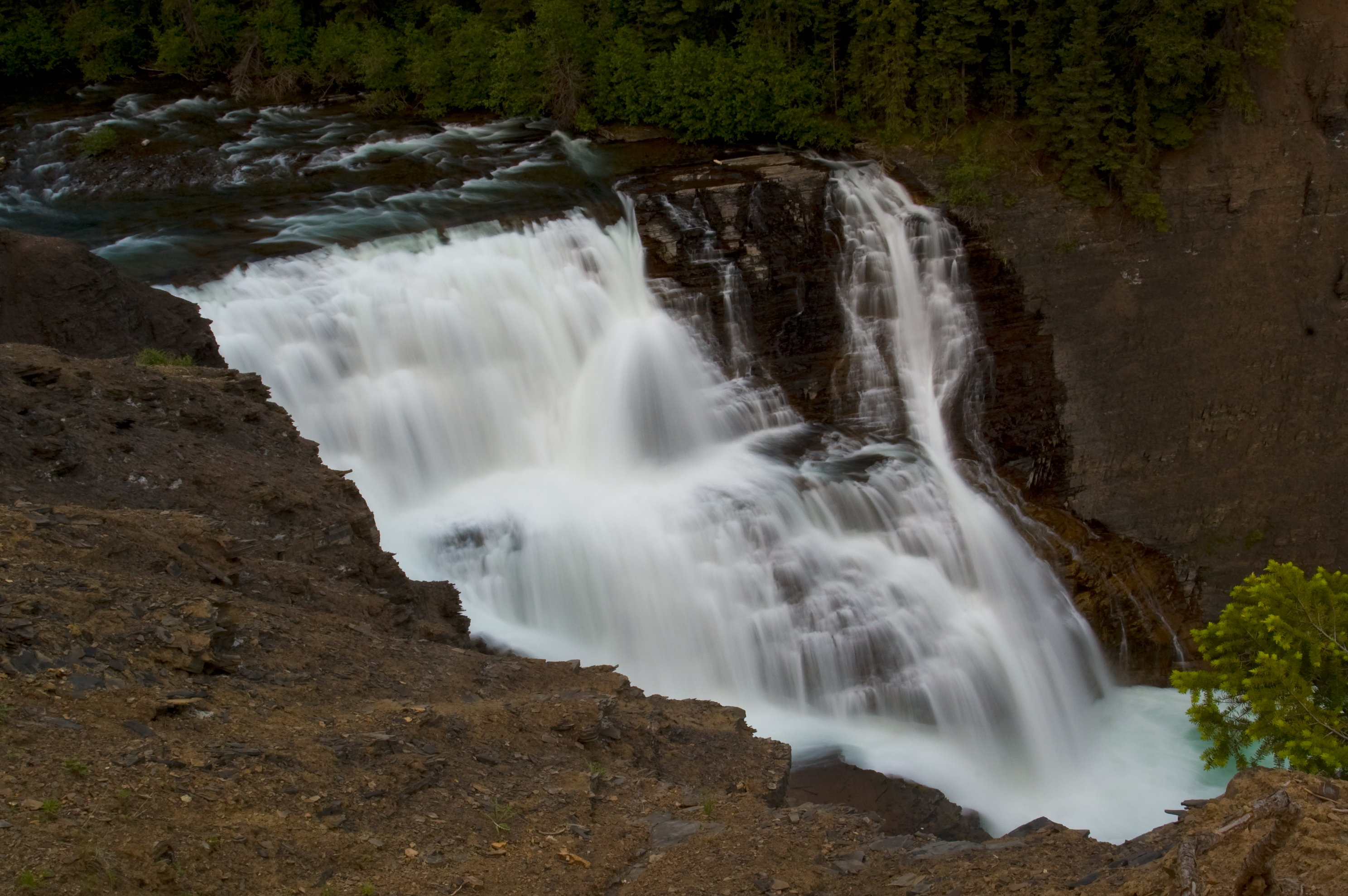
Josephine Falls
Topographic Map of High Rock Range, East Kootenay A, BC V0B, Canada
Find elevation by address:

Places near High Rock Range, East Kootenay A, BC V0B, Canada:
Funnel N4
Tornado Mountain
Funnel N3
Mount Gass
Gould Dome
Horseshoe Ridge
Gass N3
Gass Sw3
Mount Erris
O'rourke W3
Erris Se2
Erris S3
Fording River Road
Peak 09-48
Mount Pierce
Mount Farquhar
Elkford
Mount Domke
Mount Scrimger
Mount Etherington
Recent Searches:
- Elevation of Corso Fratelli Cairoli, 35, Macerata MC, Italy
- Elevation of Tallevast Rd, Sarasota, FL, USA
- Elevation of 4th St E, Sonoma, CA, USA
- Elevation of Black Hollow Rd, Pennsdale, PA, USA
- Elevation of Oakland Ave, Williamsport, PA, USA
- Elevation of Pedrógão Grande, Portugal
- Elevation of Klee Dr, Martinsburg, WV, USA
- Elevation of Via Roma, Pieranica CR, Italy
- Elevation of Tavkvetili Mountain, Georgia
- Elevation of Hartfords Bluff Cir, Mt Pleasant, SC, USA