Elevation of Cerro Picacho, New Mexico, USA
Location: United States > New Mexico > Taos County > Vadito >
Longitude: -105.43445
Latitude: 36.1150302
Elevation: 3136m / 10289feet
Barometric Pressure: 69KPa
Elevation Map:
Satellite Map:
Related Photos:
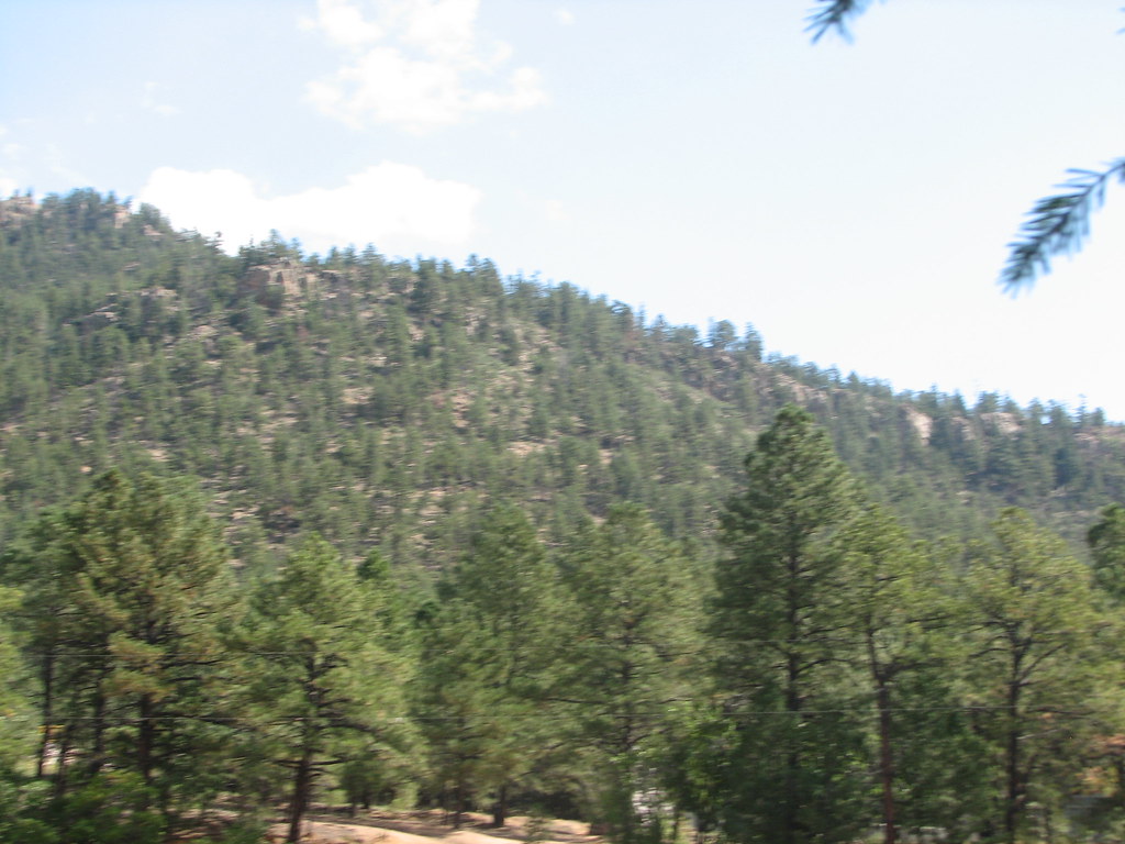
Xmas Tree Canyon
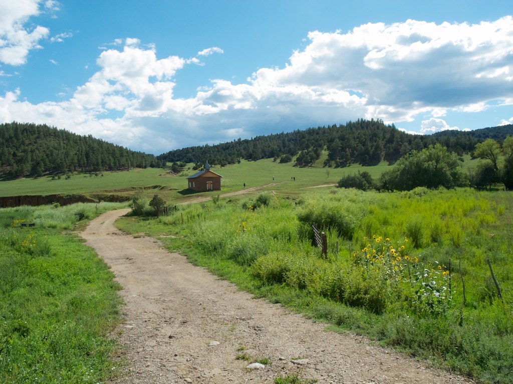
Church in the meadow

View from Santa Barbara Ridge. ca. Taos Co., NM. 12800 feet. 07.16.06 #5

View from Santa Barbara Ridge. ca. 12800 feet. 07.16.06 #3 Taos Co., NM. (Serpent Lake)
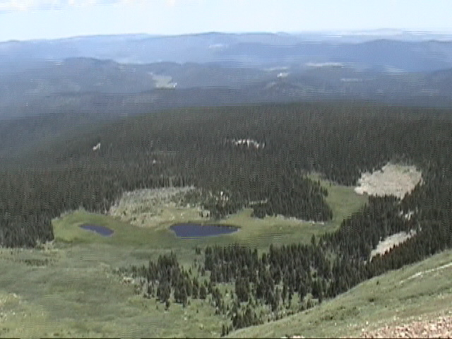
View from Santa Barbara Ridge. ca. 12800 feet. 07.16.06 #3 Taos Co., NM. (Serpent Lake)
Topographic Map of Cerro Picacho, New Mexico, USA
Find elevation by address:

Places near Cerro Picacho, New Mexico, USA:
Holman Hill
New Mexico 121
Chacon
NM-, Holman, NM, USA
Cerro Vista
Cleveland
NM-, Cleveland, NM, USA
West Canyon Loop
Monte Aplanado Road
1448 Nm-434
Cuchillo De Fernando
Mora County
Mora
Morphy Lake
NM-, Guadalupita, NM, USA
305 County Rd A042
NM-, Mora, NM, USA
Guadalupita
Romero Hills Hp
205 Rincon Rd
Recent Searches:
- Elevation of Corso Fratelli Cairoli, 35, Macerata MC, Italy
- Elevation of Tallevast Rd, Sarasota, FL, USA
- Elevation of 4th St E, Sonoma, CA, USA
- Elevation of Black Hollow Rd, Pennsdale, PA, USA
- Elevation of Oakland Ave, Williamsport, PA, USA
- Elevation of Pedrógão Grande, Portugal
- Elevation of Klee Dr, Martinsburg, WV, USA
- Elevation of Via Roma, Pieranica CR, Italy
- Elevation of Tavkvetili Mountain, Georgia
- Elevation of Hartfords Bluff Cir, Mt Pleasant, SC, USA