Elevation of Rincon Rd, Guadalupita, NM, USA
Location: United States > New Mexico > Guadalupita >
Longitude: -105.23950
Latitude: 36.1940156
Elevation: 2476m / 8123feet
Barometric Pressure: 75KPa
Elevation Map:
Satellite Map:
Related Photos:

Black Lakes Entrance B&W

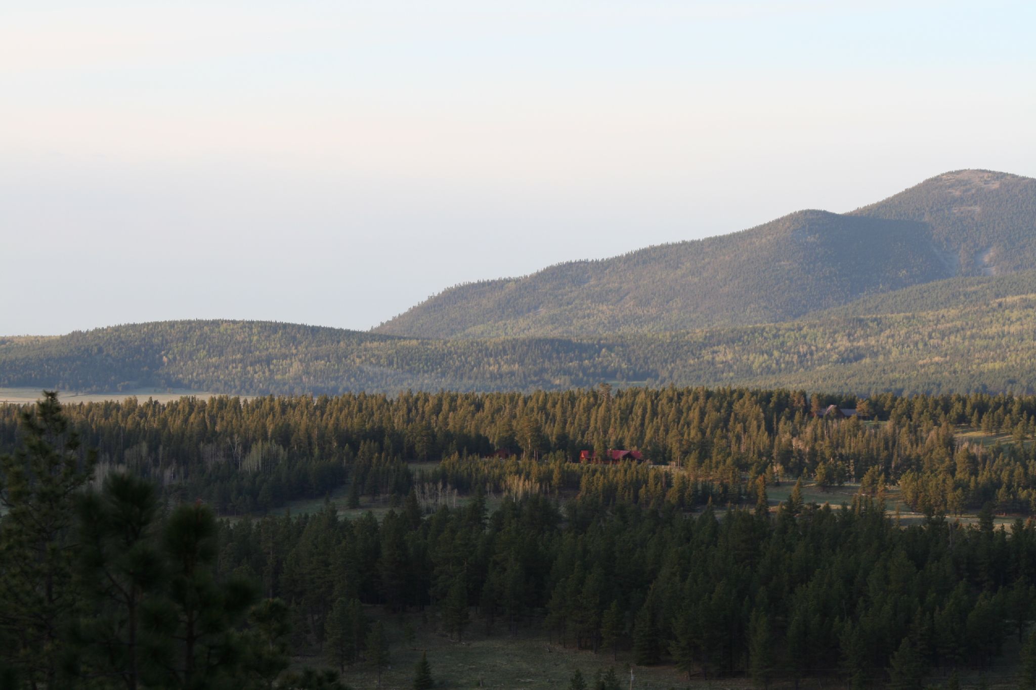
Guadalupita New Mexico.

Road to Rain Black Lakes B&W

Highway to Black Lakes B&W

BlackLake Down Pour B&W

Guadalupita New Mexico

A View from the balcony

Beaver Pond Dusk

Lost Land

Angel Fire Sunrise 2 070528

Angel Fire Sunrise 3 070528

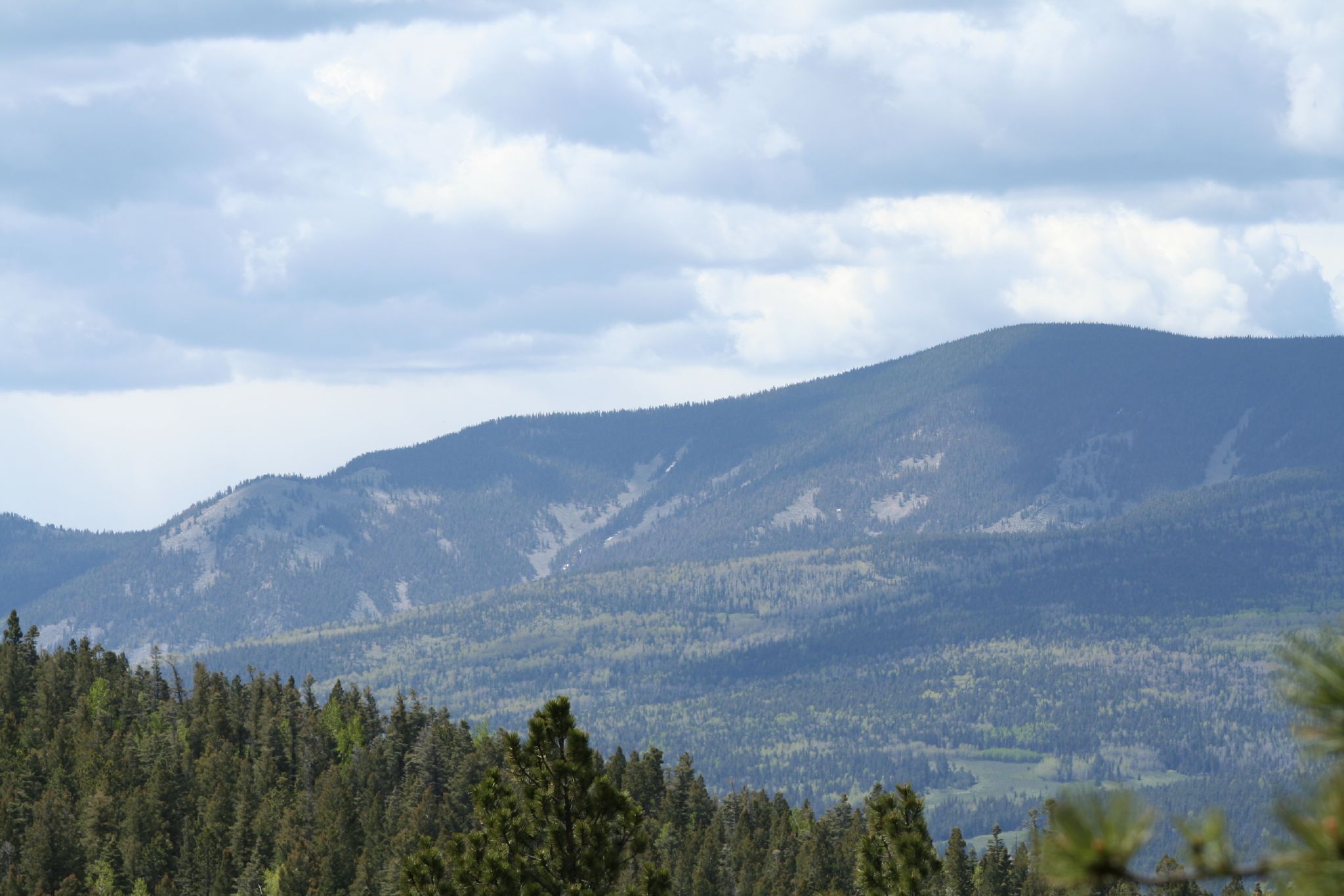
Mt Wheeler
Angel Fire Sunrise 4 070528

Angel Fire Sunrise 5 070528

Mt Wheeler III

Osha Mt I

Mt. Wheeler IV

Osha Mt III

Osha Mt V
Osha Mt II

Osha Mt VI

Osha Mt IV
Topographic Map of Rincon Rd, Guadalupita, NM, USA
Find elevation by address:

Places near Rincon Rd, Guadalupita, NM, USA:
1048 Nm-434
Guadalupita
Coyote Creek
Ocate Mesa
Cerro Montoso
49 Martin Luther King
49 Martin Luther King
Black Lake
NM-, Guadalupita, NM, USA
Cuchillo De Fernando
Chacon
Aspen Hill
Osha Mountain
New Mexico 121
Ute Valley Drive
Vista Del Sur
13 Mountain Lake Way
Agua Fria Peak
Cerro Del Amole
Cheerful Way
Recent Searches:
- Elevation of Corso Fratelli Cairoli, 35, Macerata MC, Italy
- Elevation of Tallevast Rd, Sarasota, FL, USA
- Elevation of 4th St E, Sonoma, CA, USA
- Elevation of Black Hollow Rd, Pennsdale, PA, USA
- Elevation of Oakland Ave, Williamsport, PA, USA
- Elevation of Pedrógão Grande, Portugal
- Elevation of Klee Dr, Martinsburg, WV, USA
- Elevation of Via Roma, Pieranica CR, Italy
- Elevation of Tavkvetili Mountain, Georgia
- Elevation of Hartfords Bluff Cir, Mt Pleasant, SC, USA