Elevation of Cerro de la Olla, Cerro De La Olla, New Mexico, USA
Location: United States > New Mexico > Taos County >
Longitude: -105.79889
Latitude: 36.7561312
Elevation: 2888m / 9475feet
Barometric Pressure: 71KPa
Elevation Map:
Satellite Map:
Related Photos:

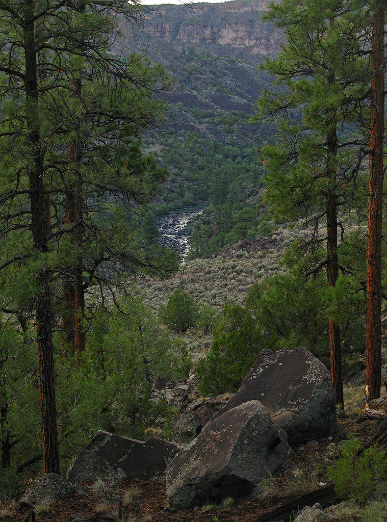
Sheep Crossing Trail
Rio Grande: West of Cerro, New Mexico (NM)
Topographic Map of Cerro de la Olla, Cerro De La Olla, New Mexico, USA
Find elevation by address:

Places near Cerro de la Olla, Cerro De La Olla, New Mexico, USA:
Cerro Montoso
Cerro Chiflo
Cerro Del Aire
Cerro, NM, USA
Montoso
No Agua Peak North
Guadalupe Mountain South
El Aguaje Campground
No Agua Peak West
Guadalupe Mountain North
38429 Us Hwy 285
Tres Piedras
Questa
112 Llano Rd
123 Cabresto Rd
San Cristobal
Lower Pinabete
Lower Pinabete
Lower Pinabete
Lower Pinabete
Recent Searches:
- Elevation of Corso Fratelli Cairoli, 35, Macerata MC, Italy
- Elevation of Tallevast Rd, Sarasota, FL, USA
- Elevation of 4th St E, Sonoma, CA, USA
- Elevation of Black Hollow Rd, Pennsdale, PA, USA
- Elevation of Oakland Ave, Williamsport, PA, USA
- Elevation of Pedrógão Grande, Portugal
- Elevation of Klee Dr, Martinsburg, WV, USA
- Elevation of Via Roma, Pieranica CR, Italy
- Elevation of Tavkvetili Mountain, Georgia
- Elevation of Hartfords Bluff Cir, Mt Pleasant, SC, USA