Elevation of US Hwy, Tres Piedras, NM, USA
Location: United States > New Mexico > Tres Piedras >
Longitude: -105.96716
Latitude: 36.6501185
Elevation: 2470m / 8104feet
Barometric Pressure: 75KPa
Elevation Map:
Satellite Map:
Related Photos:

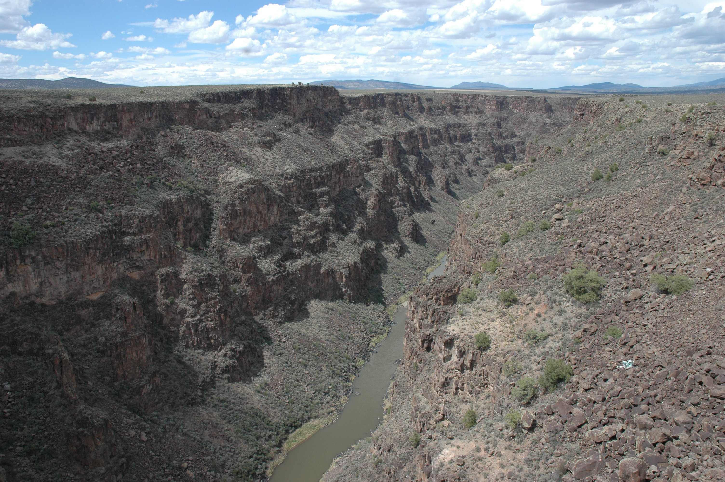
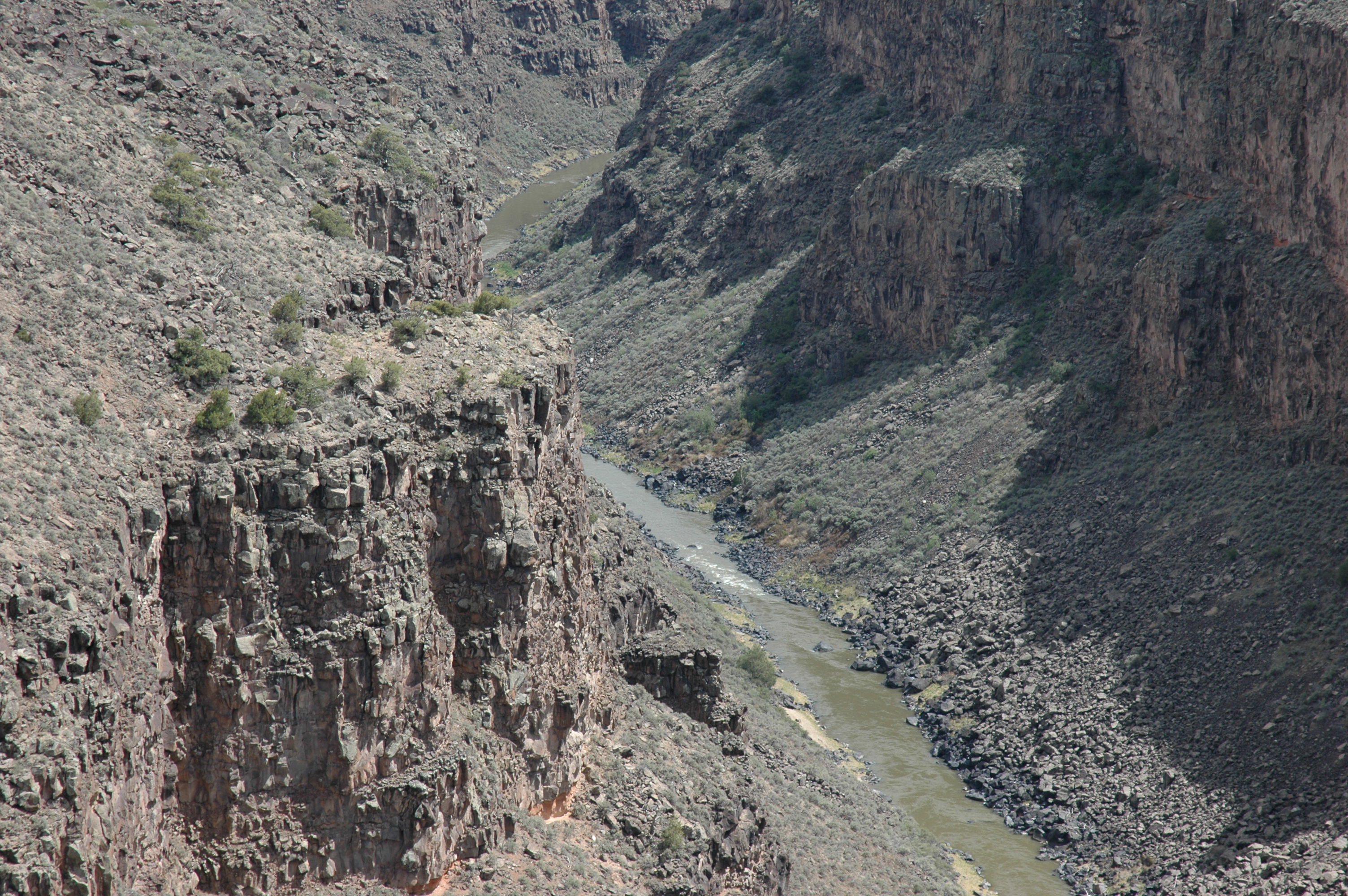
Lookout view
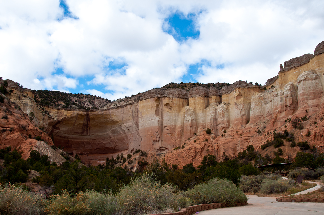
Echo Amphitheater

Arroyo Aguaje de la Petaca Bridge (Taos County, New Mexico)

_DSC1842-HDR-1

New Mexico. June 2018.

New Mexico. June 2018.

Visit with Chris and Carol 2011 401

Wild Horses
Visit with Chris and Carol 2011 391

Visit with Chris and Carol 2011 362

Visit with Chris and Carol 2011 363

Visit with Chris and Carol 2011 400

Visit with Chris and Carol 2011 382
Visit with Chris and Carol 2011 385

Visit with Chris and Carol 2011 378

Visit with Chris and Carol 2011 399

Visit with Chris and Carol 2011 376

Visit with Chris and Carol 2011 386

Visit with Chris and Carol 2011 406

Visit with Chris and Carol 2011 398

Visit with Chris and Carol 2011 377

Visit with Chris and Carol 2011 371
Topographic Map of US Hwy, Tres Piedras, NM, USA
Find elevation by address:

Places near US Hwy, Tres Piedras, NM, USA:
Tres Piedras
Cerro Del Aire
No Agua Peak West
No Agua Peak North
Tusas Mountain
Los Cerritos De La Cruz South
Cerro De La Olla
Cerro Montoso
Quartzite Peak
Burned Mountain
Broke Off Mountain
Cerro Chiflo
Montoso
Jawbone Mountain
El Aguaje Campground
Guadalupe Mountain South
San Cristobal
Cerro, NM, USA
Banco Julian
Guadalupe Mountain North
Recent Searches:
- Elevation of Corso Fratelli Cairoli, 35, Macerata MC, Italy
- Elevation of Tallevast Rd, Sarasota, FL, USA
- Elevation of 4th St E, Sonoma, CA, USA
- Elevation of Black Hollow Rd, Pennsdale, PA, USA
- Elevation of Oakland Ave, Williamsport, PA, USA
- Elevation of Pedrógão Grande, Portugal
- Elevation of Klee Dr, Martinsburg, WV, USA
- Elevation of Via Roma, Pieranica CR, Italy
- Elevation of Tavkvetili Mountain, Georgia
- Elevation of Hartfords Bluff Cir, Mt Pleasant, SC, USA