Elevation of Lower Pinabete, Questa, NM, USA
Location: United States > New Mexico > Taos County > Questa >
Longitude: -105.57374
Latitude: 36.7370047
Elevation: -10000m / -32808feet
Barometric Pressure: 295KPa
Elevation Map:
Satellite Map:
Related Photos:

Sangre de Cristo Mountains viewpoint

Windblock on Gold Hill

Sangre de Cristo Mountains viewpoint

Views toward Mt. Walter, Wheeler Peak, Lake Fork Peak, and Vallecito Mountain
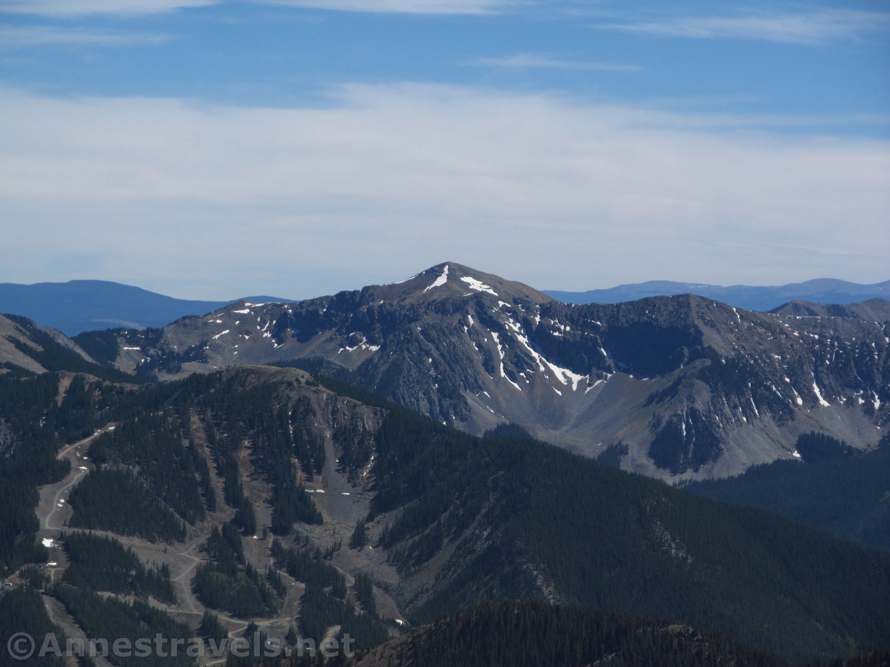
Vallecito Mountain

Views to the Taos Ski Valley

Views East

Near the Long Canyon Junction

Views North from Gold Hill

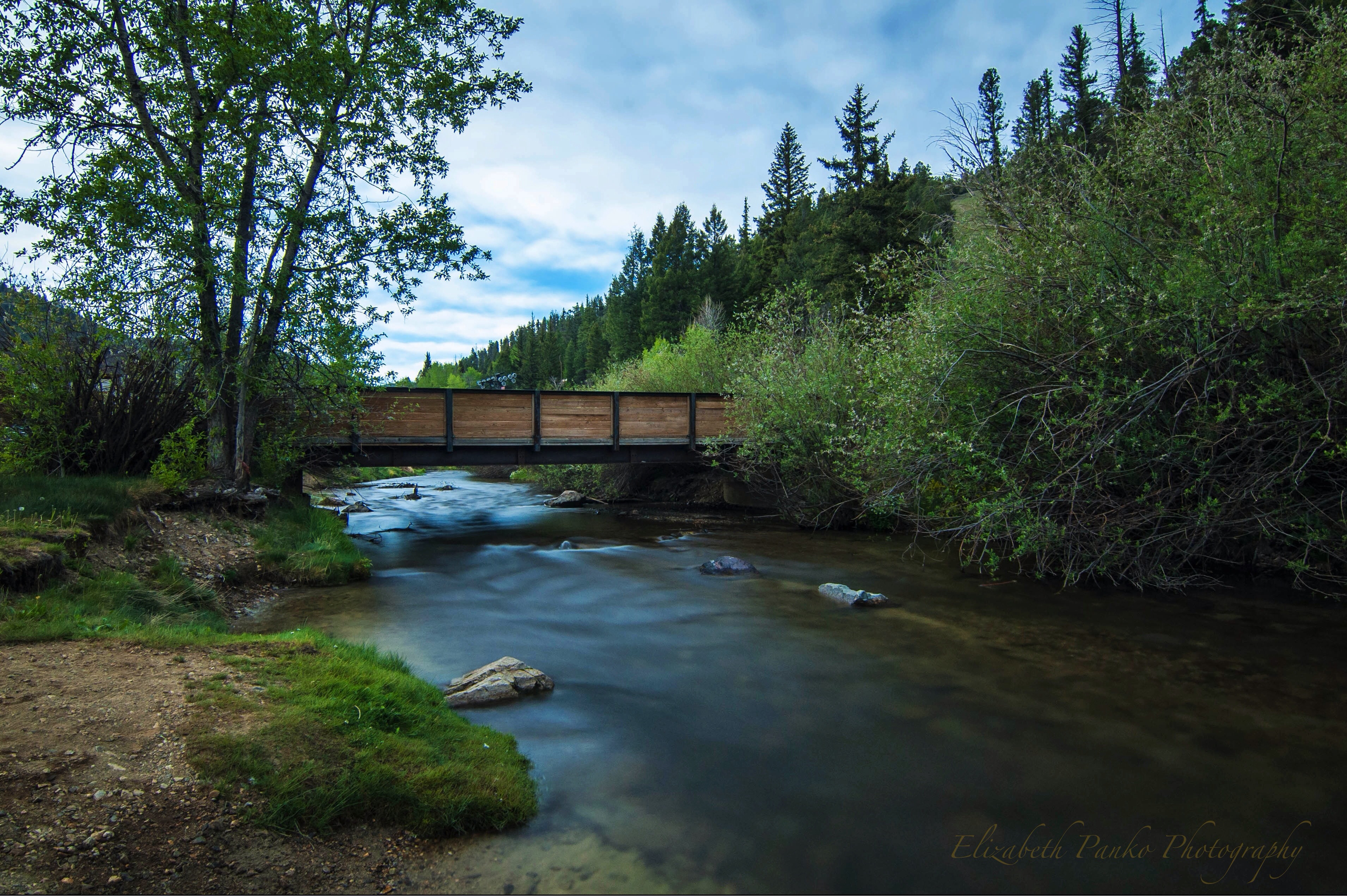
Red River

The Forgotten Old West

View from 10,000 feet

A view of #WheelerPeak from our cabin in the Upper #Valley of #RedRiver, #NewMexico. #ToBeyond #redrivernm #newmexicotrue #newmexico_igers #ig_unitedstates #unitedstates #insta_international #photooftheday #fotooftheday #travel #instatravel #instago #in

Last day for a scenic Chairlift Ride is tomorrow! Don't miss this great opportunity to View the Aspen leaves :)

Huge floor, and great house band for dancing in Red River

Red River Rush
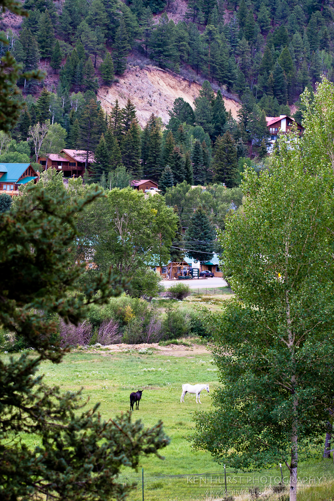
Pastoral New Mexico

Red River Fish Hatchery - Feed Huge Trout

The view of Broadway (a blue)

View from the top

Rio Grande gorge in Northern New Mexico

Eagle Rock Lake. Questa, New Mexico
DSC_0115.JPG
Down by the River...

Sulphur Gulch

Church in Cerro, NM

1608 - 1610

The Red River

DSC_0181.JPG

1612 - Enchanted Circle

IMG_1735 (2)

Latir Peak group, New Mexico

DSC_0146.JPG

Evening Sky Near El Rito

On The road..........

ToTaosFeb25 2014 : DSCN8892

ToTaosFeb25 2014 : DSCN8893
ToTaosFeb25 2014 : DSCN8895

Aspens - Red River, NM

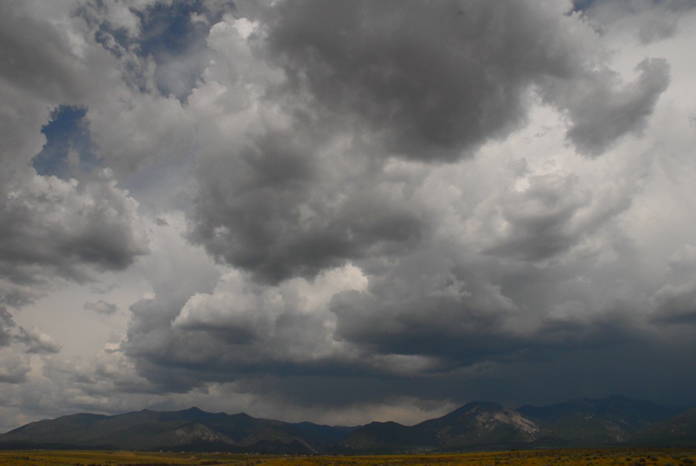
Storm Over Cerro Chiflo
Topographic Map of Lower Pinabete, Questa, NM, USA
Find elevation by address:

Places near Lower Pinabete, Questa, NM, USA:
Lower Pinabete
Lower Pinabete
Lower Pinabete
Lower Pinabete
Upper Pinabete
112 Llano Rd
Echo Forest Road
123 Cabresto Rd
Questa
Guadalupe Mountain North
Questa, NM, USA
Lorien Road
Guadalupe Mountain South
143 Quintana Rd
6 Dulcimer Rd
Flag Mountain
Cerro, NM, USA
5 Latir Rd
77 Latir Rd
66 Latir Rd
Recent Searches:
- Elevation of Corso Fratelli Cairoli, 35, Macerata MC, Italy
- Elevation of Tallevast Rd, Sarasota, FL, USA
- Elevation of 4th St E, Sonoma, CA, USA
- Elevation of Black Hollow Rd, Pennsdale, PA, USA
- Elevation of Oakland Ave, Williamsport, PA, USA
- Elevation of Pedrógão Grande, Portugal
- Elevation of Klee Dr, Martinsburg, WV, USA
- Elevation of Via Roma, Pieranica CR, Italy
- Elevation of Tavkvetili Mountain, Georgia
- Elevation of Hartfords Bluff Cir, Mt Pleasant, SC, USA