Elevation of Carson Trail, Seligman, AZ, USA
Location: United States > Arizona > Yavapai County > Seligman >
Longitude: -113.11910
Latitude: 35.125875
Elevation: 1641m / 5384feet
Barometric Pressure: 83KPa
Elevation Map:
Satellite Map:
Related Photos:

Air2air shot
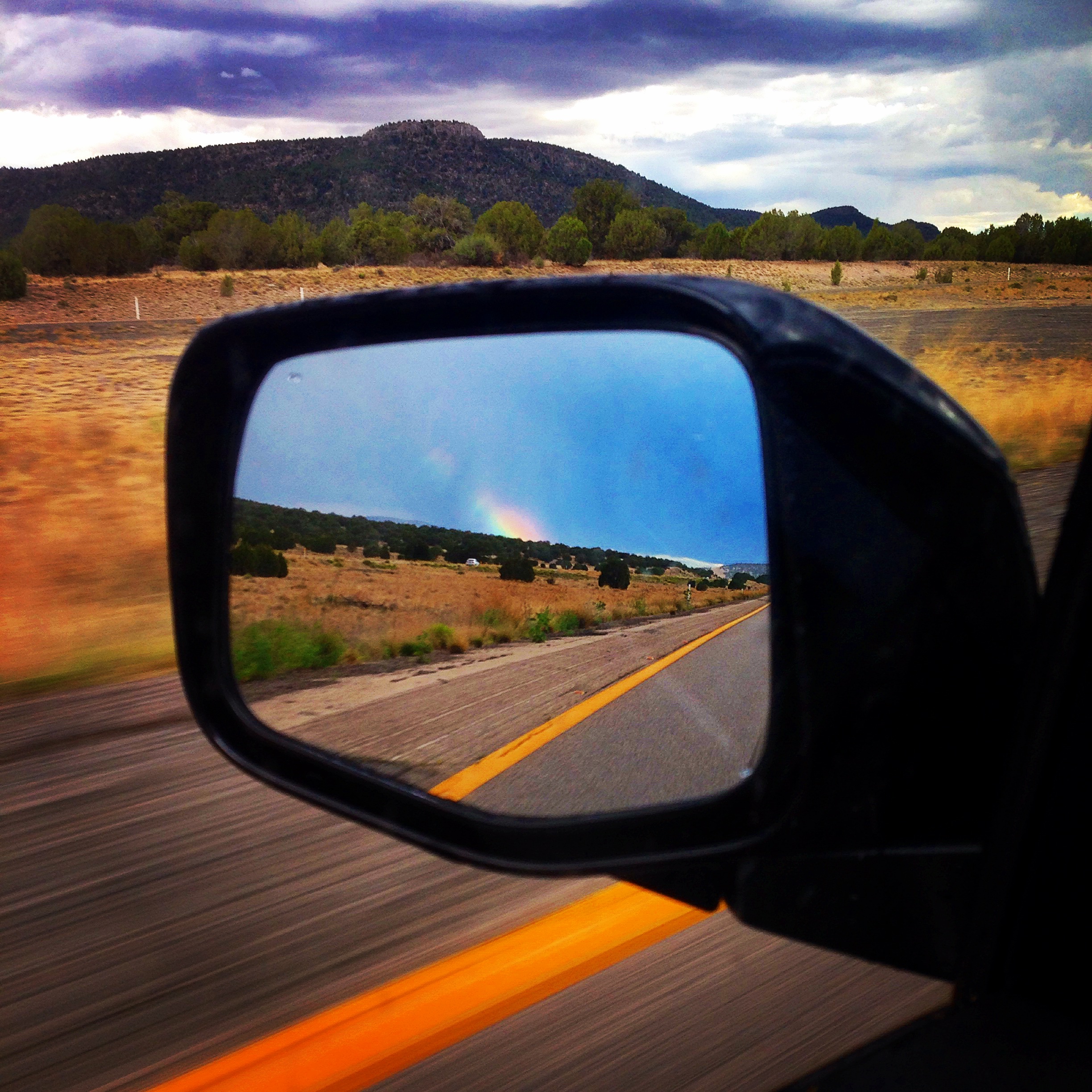
Rainbow in the rearview mirror over Flagstaff, Arizona
Go Go Grand Canyon
Arizona Sunset
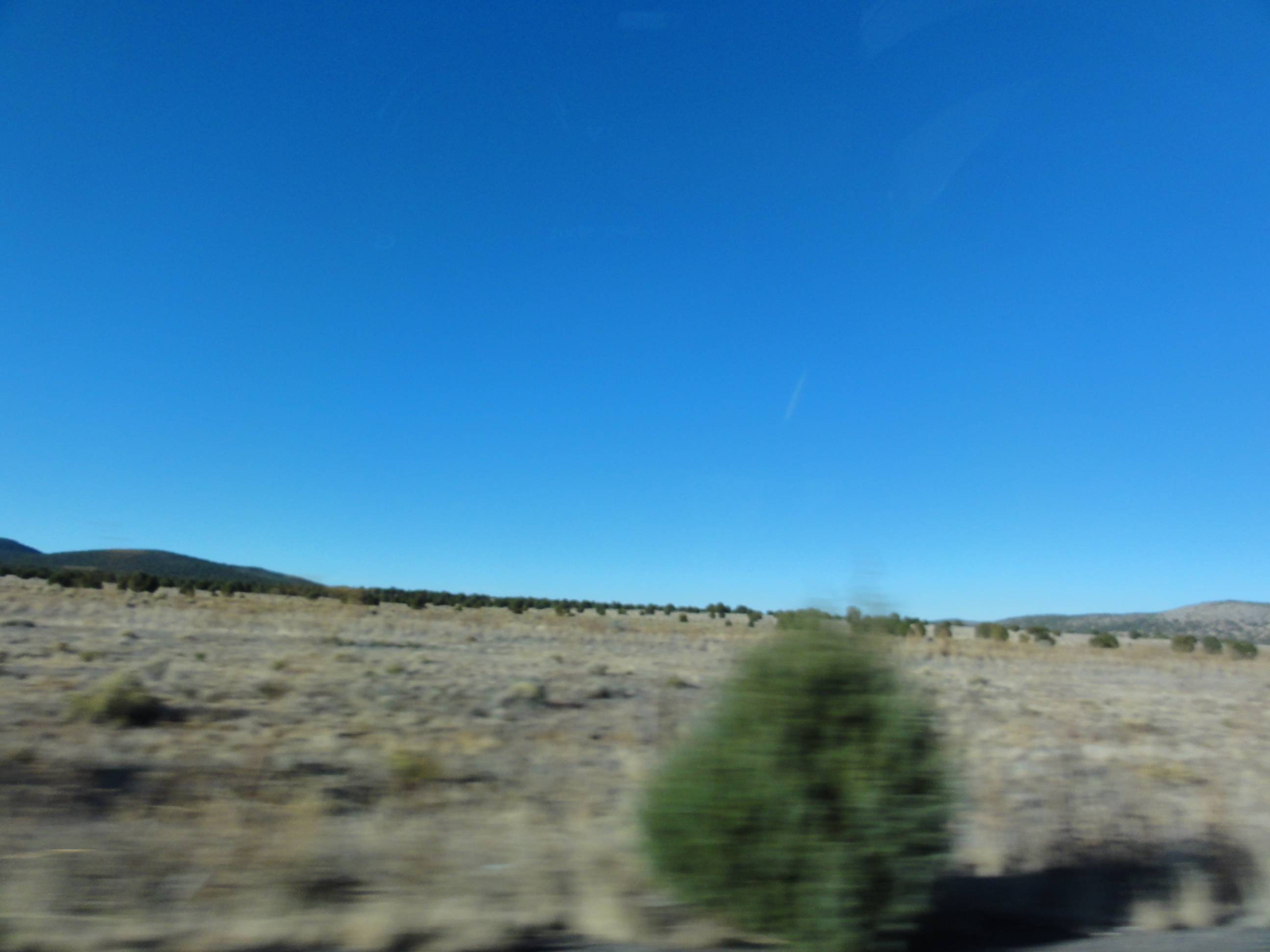
Arizona Landscape
Go Go Grand Canyon
All Photos-4062
Moving LA-NY
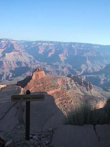
Ooh Aah Point
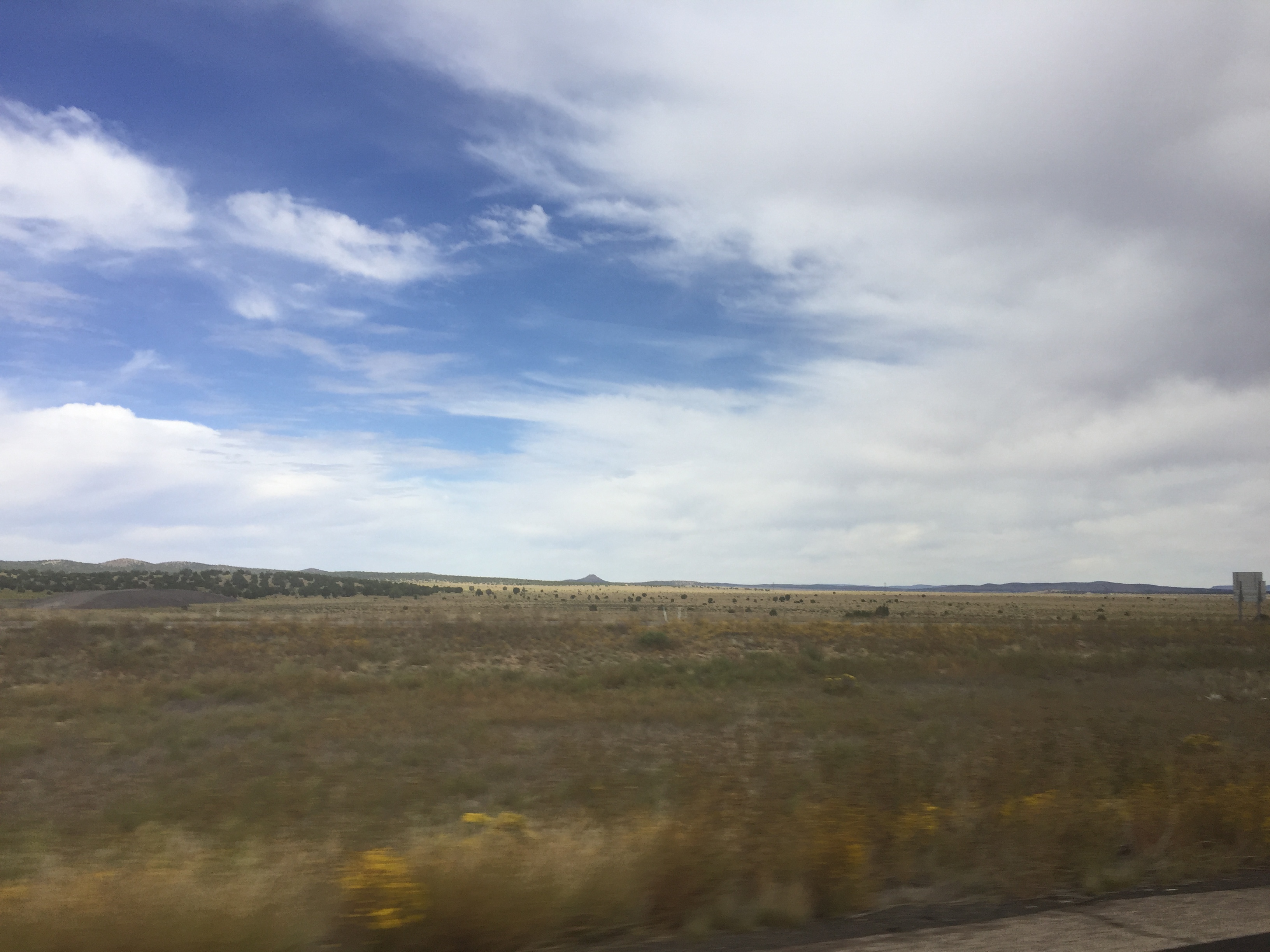
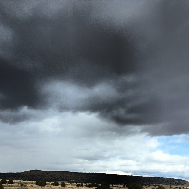
Near Seligman AZ

On the road????????
Roadtrip, on my way to Grand Canyon!
Somewhere in Arizona

USA_(Los Angeles) July&August 2014 - 007
#I40 #Arizona #truckdriving #myview #myday
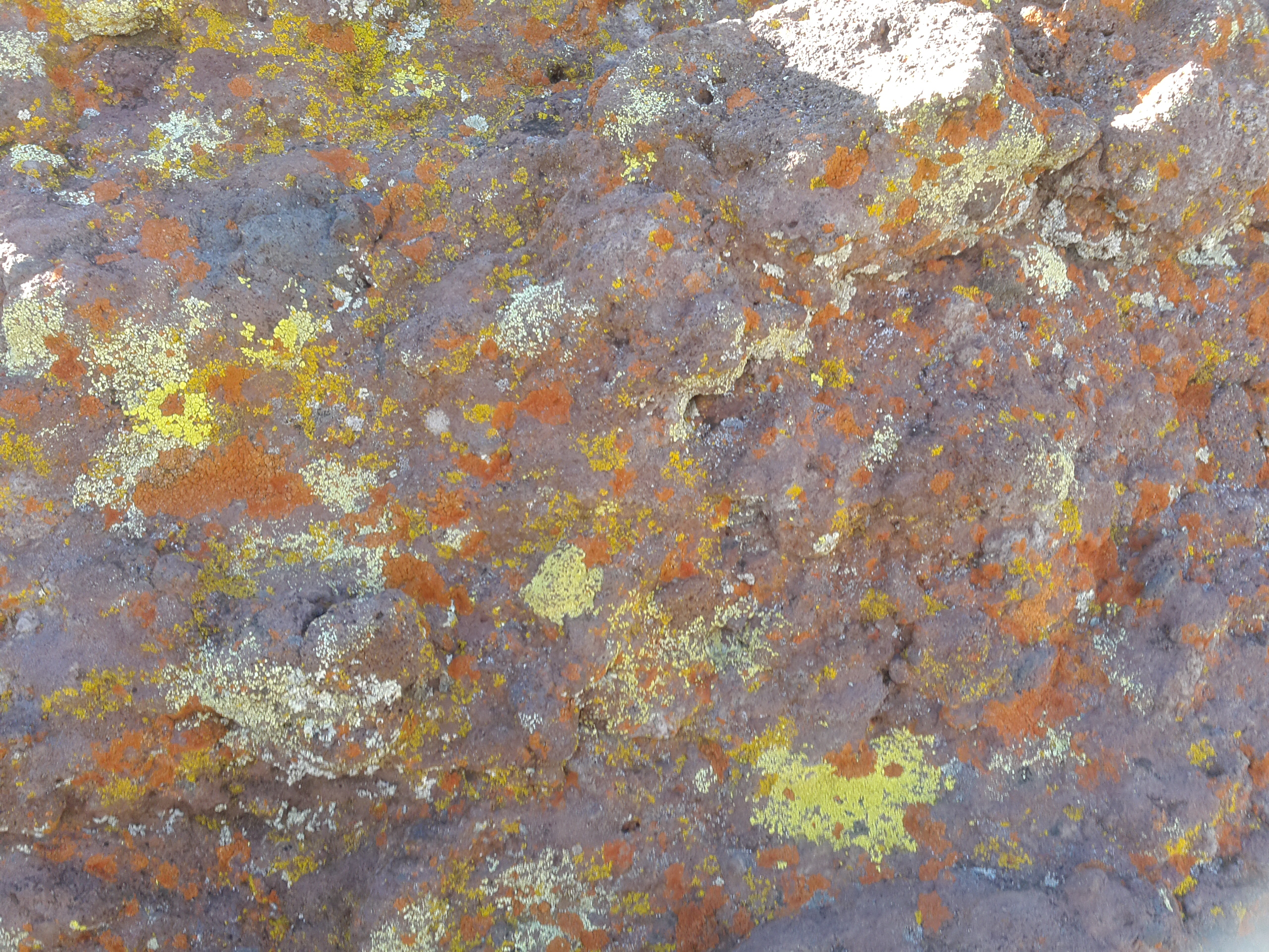
Moulds and lichens on rock

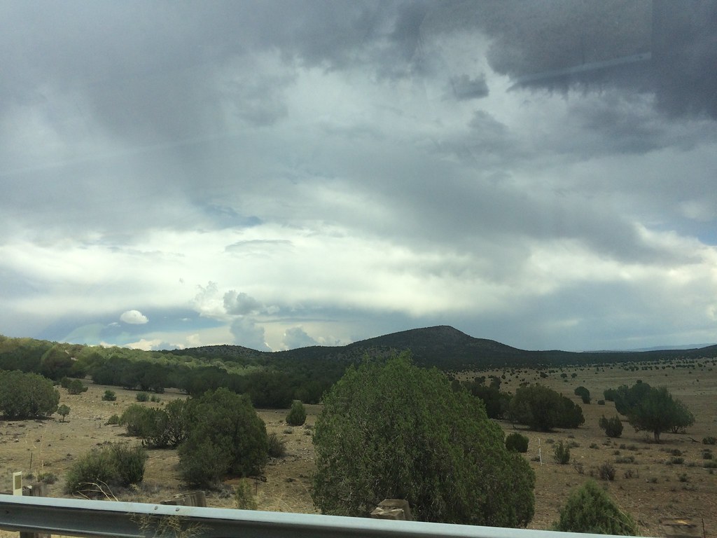
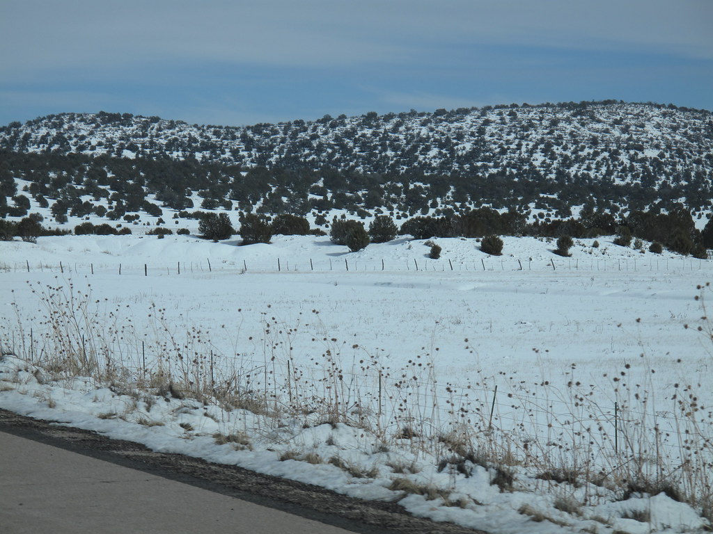
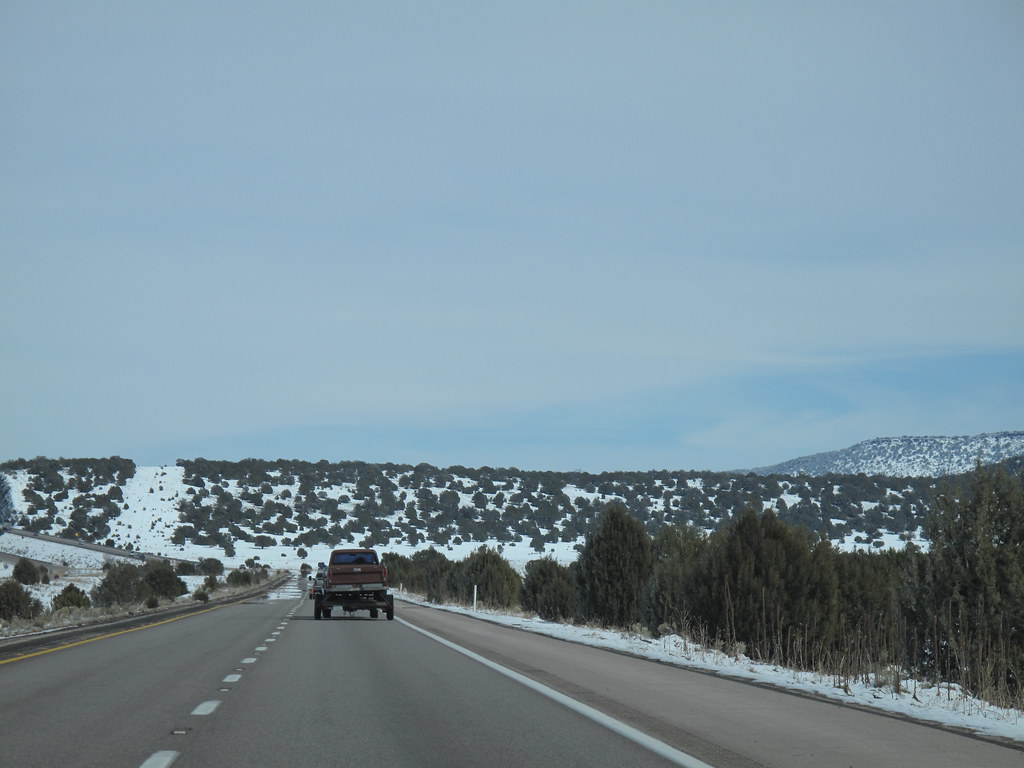
Driving to the Grand Canyon

IMG_0131.JPG

IMG_0130.JPG

D. California to Disneyland

D. California to Disneyland
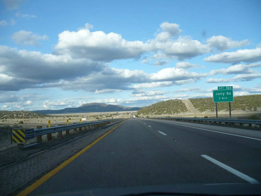
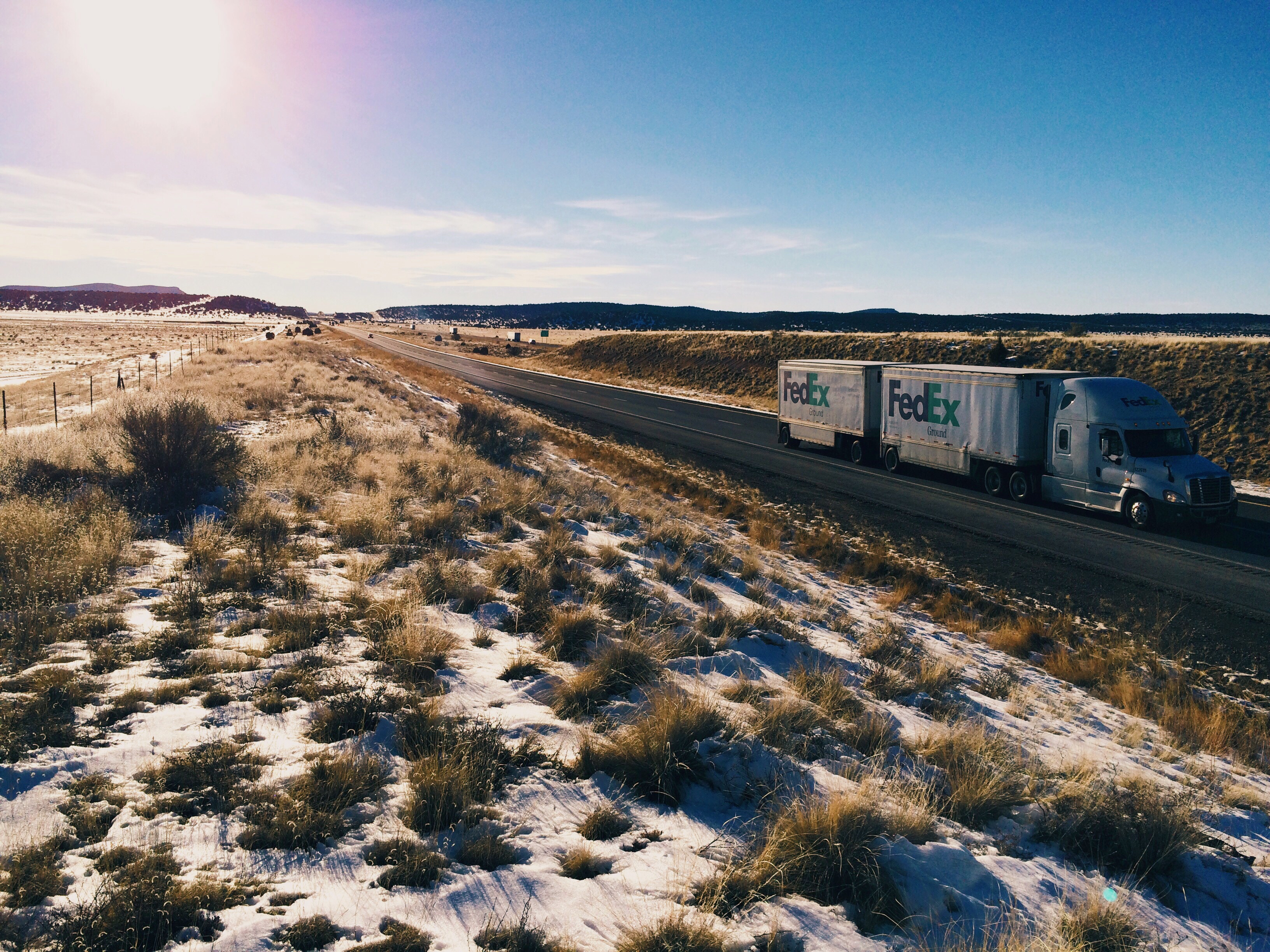
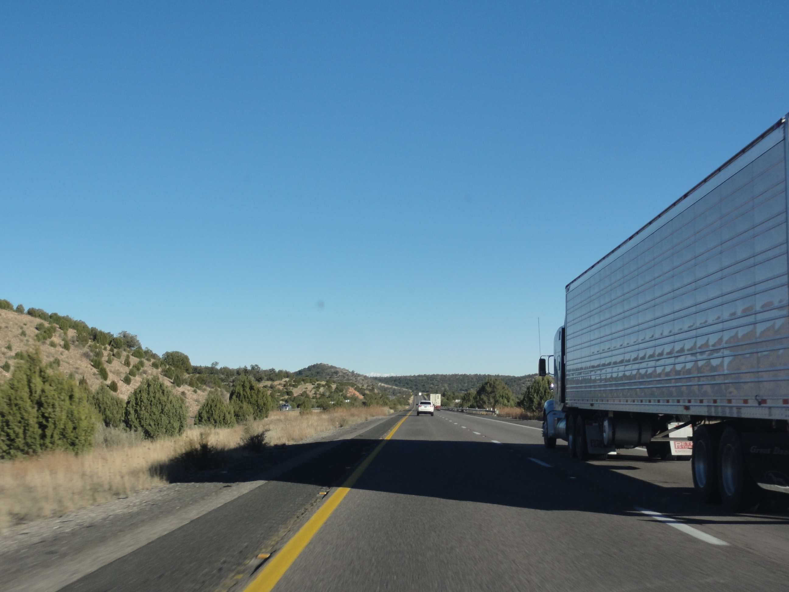
Interstate 40 Eastbound in Yavapai County
IMG_6491 near Flagstaff Arizona
IMG_6489 Flagstaff Az
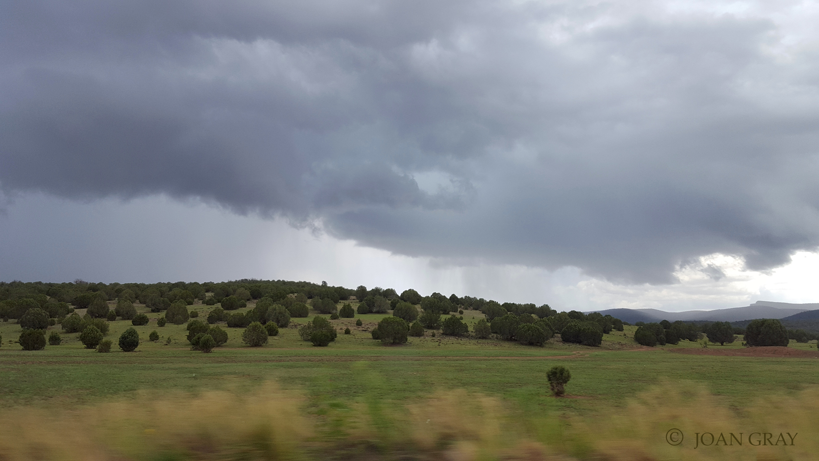
Go Go Grand Canyon
Go Go Grand Canyon
Go Go Grand Canyon
Topographic Map of Carson Trail, Seligman, AZ, USA
Find elevation by address:

Places near Carson Trail, Seligman, AZ, USA:
11870 S Bogles Ranch Rd
Williamson Valley Road
Peridot Place
Big Sandy Range
W Fair Oaks Rd, Prescott, AZ, USA
6751 S A Frame Ct
Bagdad
10 Bridle View Ct, Bagdad, AZ, USA
19125 N Lower Territory Rd
11339 Hidden Valley Rd
7200 W Rambling Rd
3971 W Limestone Dr
26775 N Kitty Hawk Ln
Six Mile Crossing
Camp Road
3233 W Sandstone Dr
13601 N Walking Y Ln
13601 N Walking Y Ln
Z3 Ranch Rd, Skull Valley, AZ, USA
7377 W Corn Squeezing Ln
Recent Searches:
- Elevation of Corso Fratelli Cairoli, 35, Macerata MC, Italy
- Elevation of Tallevast Rd, Sarasota, FL, USA
- Elevation of 4th St E, Sonoma, CA, USA
- Elevation of Black Hollow Rd, Pennsdale, PA, USA
- Elevation of Oakland Ave, Williamsport, PA, USA
- Elevation of Pedrógão Grande, Portugal
- Elevation of Klee Dr, Martinsburg, WV, USA
- Elevation of Via Roma, Pieranica CR, Italy
- Elevation of Tavkvetili Mountain, Georgia
- Elevation of Hartfords Bluff Cir, Mt Pleasant, SC, USA