Elevation of W Sandstone Dr, Paulden, AZ, USA
Longitude: -112.52776
Latitude: 34.945481
Elevation: -10000m / -32808feet
Barometric Pressure: 295KPa
Elevation Map:
Satellite Map:
Related Photos:

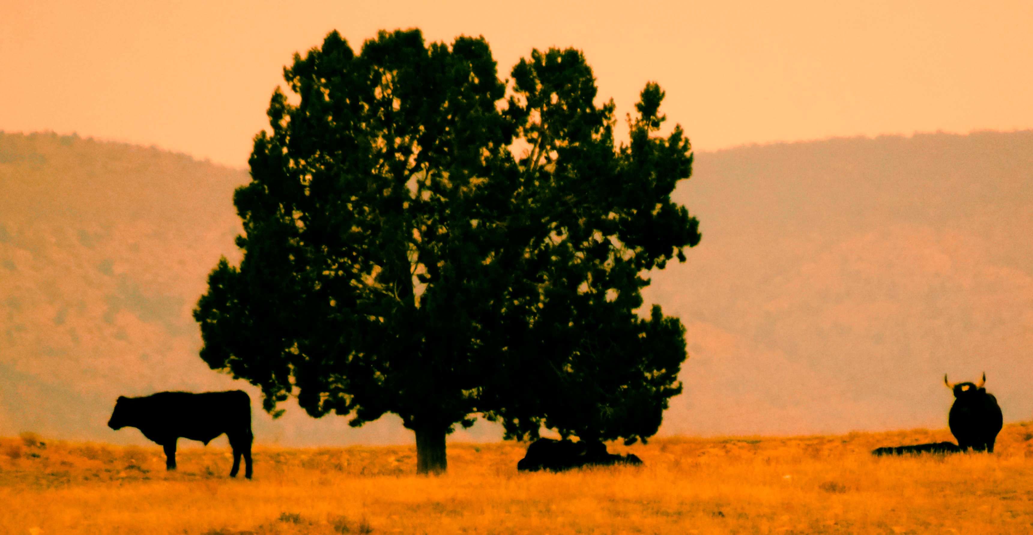
Green fields

Arizona State Route 89 Between Chino Valley and Ash Fork, Arizona

DSCN0510.jpg

BNSF VVAUPHX at Drake

Hell Canyon Bridges

Hell Canyon and Drake Cement

Late Departure

Arizona Central departs Drake under stormy skies

Phoenix stacks at Hell Canyon

Steam On High

3751 Across Hell Canyon

More from the Parker Peavine Extra

Hell Canyon Bridge

ATSF - Verde River Bridge (Yavapai County, Arizona)

ATSF - Verde River Bridge (Yavapai County, Arizona)

ATSF - Verde River Bridge (Yavapai County, Arizona)

ATSF - Verde River Bridge (Yavapai County, Arizona)

Old U.S. 89 Verde River Bridge (Yavapai County, Arizona)

Old U.S. 89 Verde River Bridge (Yavapai County, Arizona)

BNSF - Hell Canyon Bridge (Yavapai County, Arizona)

BNSF - Hell Canyon Bridge (Yavapai County, Arizona)

BNSF - Hell Canyon Bridge (Yavapai County, Arizona)

Winter Approach
On the Old Hilltop
Topographic Map of W Sandstone Dr, Paulden, AZ, USA
Find elevation by address:

Places near W Sandstone Dr, Paulden, AZ, USA:
3971 W Limestone Dr
26775 N Kitty Hawk Ln
25860 North Cabernet Lane
2160 West Storm Road
4070 W Cedar Heights Rd
4600 Dillon Wash Rd
4500 W Carriage Ln
4500 W Carriage Ln
7200 W Rambling Rd
4456 W Hidden Canyon Rd
4455 W Hidden Canyon Rd
19125 N Lower Territory Rd
6400 Dillon Wash Rd
2420 N Apache Dr
2190 N Cherokee Dr
Camp Road
4701 Sunshine Trail
16300 N Top View Ln
4401 Macondo Rd
15863 North Silent Moon Lane
Recent Searches:
- Elevation of Corso Fratelli Cairoli, 35, Macerata MC, Italy
- Elevation of Tallevast Rd, Sarasota, FL, USA
- Elevation of 4th St E, Sonoma, CA, USA
- Elevation of Black Hollow Rd, Pennsdale, PA, USA
- Elevation of Oakland Ave, Williamsport, PA, USA
- Elevation of Pedrógão Grande, Portugal
- Elevation of Klee Dr, Martinsburg, WV, USA
- Elevation of Via Roma, Pieranica CR, Italy
- Elevation of Tavkvetili Mountain, Georgia
- Elevation of Hartfords Bluff Cir, Mt Pleasant, SC, USA