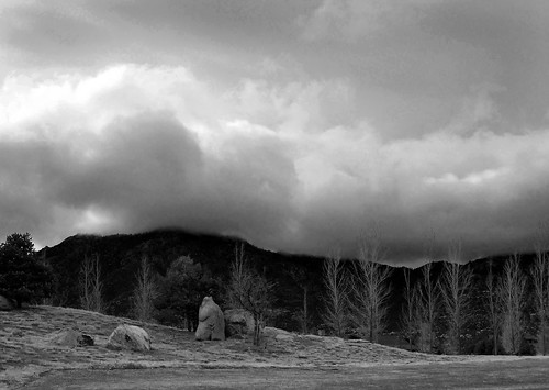
Elevation of W Hidden Canyon Rd, Chino Valley, AZ, USA
Location: United States > Arizona > Yavapai County > Chino Valley >
Longitude: -112.52609
Latitude: 34.7951912
Elevation: 1514m / 4967feet
Barometric Pressure: 84KPa
Related Photos:
Topographic Map of W Hidden Canyon Rd, Chino Valley, AZ, USA
Find elevation by address:

Places near W Hidden Canyon Rd, Chino Valley, AZ, USA:
4456 W Hidden Canyon Rd
2190 N Cherokee Dr
2420 N Apache Dr
4401 Macondo Rd
4701 Sunshine Trail
3950 Cindy Ln
4230 W Old Glory Rd
15863 North Silent Moon Lane
3135 Cindy Ln
14485 N Centennial Dr
14305 North Centennial Drive
6400 Dillon Wash Rd
14515 North Pauls Spur Drive
16300 N Top View Ln
North Spotted Eagle Drive
14020 N Signal Hill Rd
5100 W Sinagua Ln
15320 N Hootennanny Rd
12455 W Sundancer Trail
5585 Darius Cir
Recent Searches:
- Elevation of Corso Fratelli Cairoli, 35, Macerata MC, Italy
- Elevation of Tallevast Rd, Sarasota, FL, USA
- Elevation of 4th St E, Sonoma, CA, USA
- Elevation of Black Hollow Rd, Pennsdale, PA, USA
- Elevation of Oakland Ave, Williamsport, PA, USA
- Elevation of Pedrógão Grande, Portugal
- Elevation of Klee Dr, Martinsburg, WV, USA
- Elevation of Via Roma, Pieranica CR, Italy
- Elevation of Tavkvetili Mountain, Georgia
- Elevation of Hartfords Bluff Cir, Mt Pleasant, SC, USA


