Elevation of Cannon Rd, LaFayette, GA, USA
Location: United States > Georgia > Walker County > Lafayette >
Longitude: -85.22341
Latitude: 34.735028
Elevation: 298m / 978feet
Barometric Pressure: 98KPa
Elevation Map:
Satellite Map:
Related Photos:

See 7 States from Rock City - Rock Spring, Georgia.

See 7 States From Rock City (RCB50)

See Rock City

A Noble Wedge Shot

the woods are watching

Chapman cemetery

the woods are watching

the woods are watching

Amber's Ponytail

the woods are watching

the woods are watching

Lunch Break

High Point View

Waterfall and Limestone

North Georgia

swimming hole

Marsh-Warthen House - Lafayette, GA

tones of home

Drone shot of the CCKY on the run to Chattanooga

Pocket Branch Falls

Pocket Branch Falls
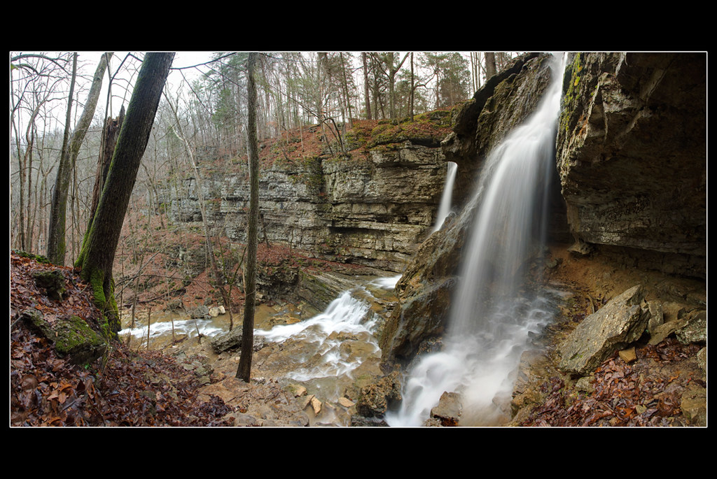
Pocket Falls

Cove Church in Chickamaugua, GA
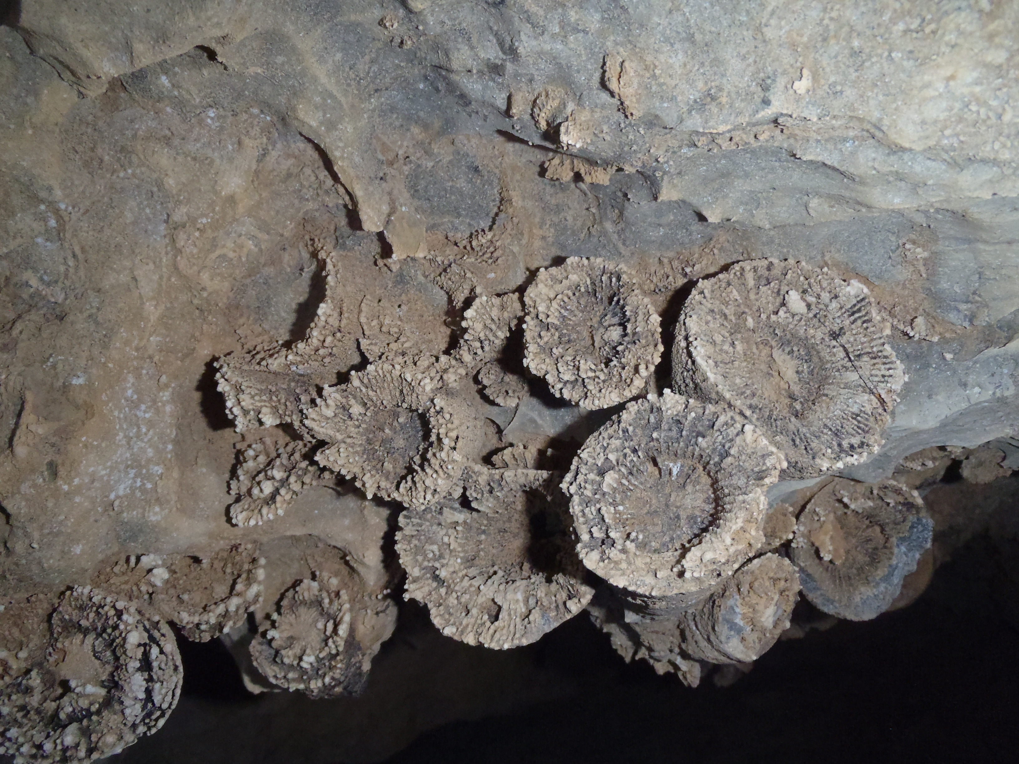
Fossils inside Nash Waterfall Cave

Pitch a tent, rugby style

Perfect Pose

Pocket Falls, NW GA

Cat Tails

Pocket Falls, NW Georgia

NorthWest Georgia

Pocket Falls, NW GA

From Effigy Hill, September 25
Topographic Map of Cannon Rd, LaFayette, GA, USA
Find elevation by address:

Places near Cannon Rd, LaFayette, GA, USA:
Mcgaha Road
35 Round Pond Rd, LaFayette, GA, USA
271 Glen Eden Way
350 Glen Eden Way
6051 Ga-95
454 Ken Visage Rd
454 Ken Visage Rd
89 Quail Run
9 Sunset Dr
Stanfield Road
68 Center Grove Church Rd, Rock Spring, GA, USA
33 Dry Creek Rd
31 Dry Creek Rd
1363 Ga-151
Lafayette
280 Coffman Springs Rd
337 Monroe Green Rd
515 Sandie Ln
98 Hamilton Ln
840 Bronco Rd
Recent Searches:
- Elevation of Corso Fratelli Cairoli, 35, Macerata MC, Italy
- Elevation of Tallevast Rd, Sarasota, FL, USA
- Elevation of 4th St E, Sonoma, CA, USA
- Elevation of Black Hollow Rd, Pennsdale, PA, USA
- Elevation of Oakland Ave, Williamsport, PA, USA
- Elevation of Pedrógão Grande, Portugal
- Elevation of Klee Dr, Martinsburg, WV, USA
- Elevation of Via Roma, Pieranica CR, Italy
- Elevation of Tavkvetili Mountain, Georgia
- Elevation of Hartfords Bluff Cir, Mt Pleasant, SC, USA