Elevation of Ken Visage Rd, LaFayette, GA, USA
Location: United States > Georgia > Walker County > Lafayette >
Longitude: -85.246230
Latitude: 34.705021
Elevation: 318m / 1043feet
Barometric Pressure: 98KPa
Elevation Map:
Satellite Map:
Related Photos:
A Noble Wedge Shot
Lunch Break
view atop Pigeon Mountain. while eating a peanut butter and jelly sandwich.

Amber's Ponytail
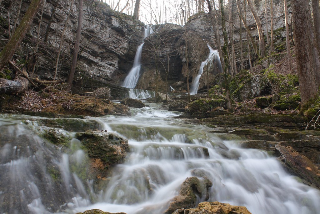
Pocket Falls, NW GA

Fossils inside Nash Waterfall Cave

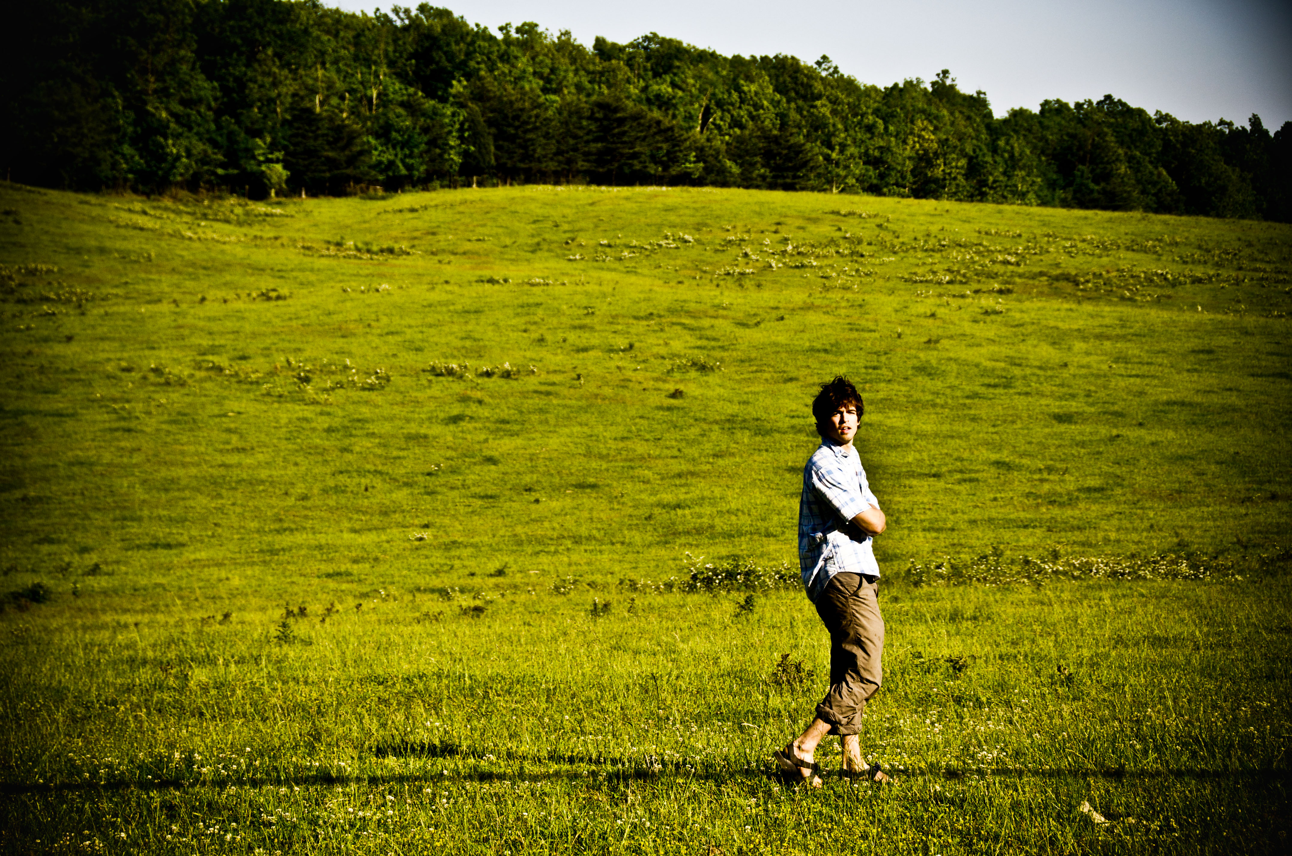
days gone by. when i was a boy i planted the trees that today line my parents driveway. my how they have grown. i, too, have grown. they reach towards they sky, firm soldiers of love standing guard at the old home place. the sun sets and another day goes
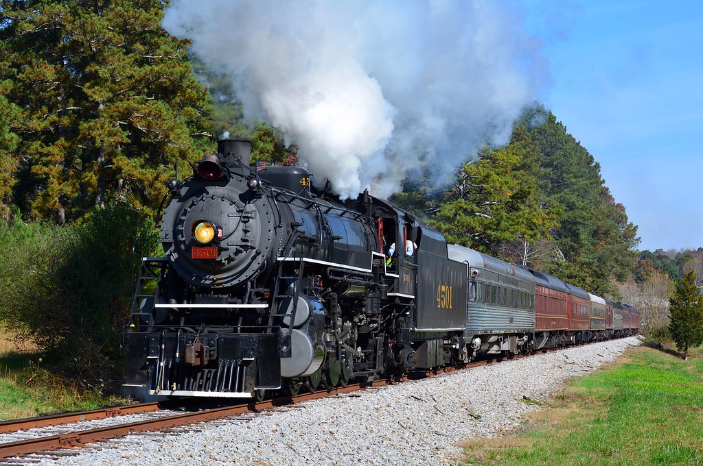
Drone shot of the CCKY on the run to Chattanooga
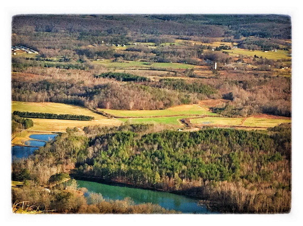
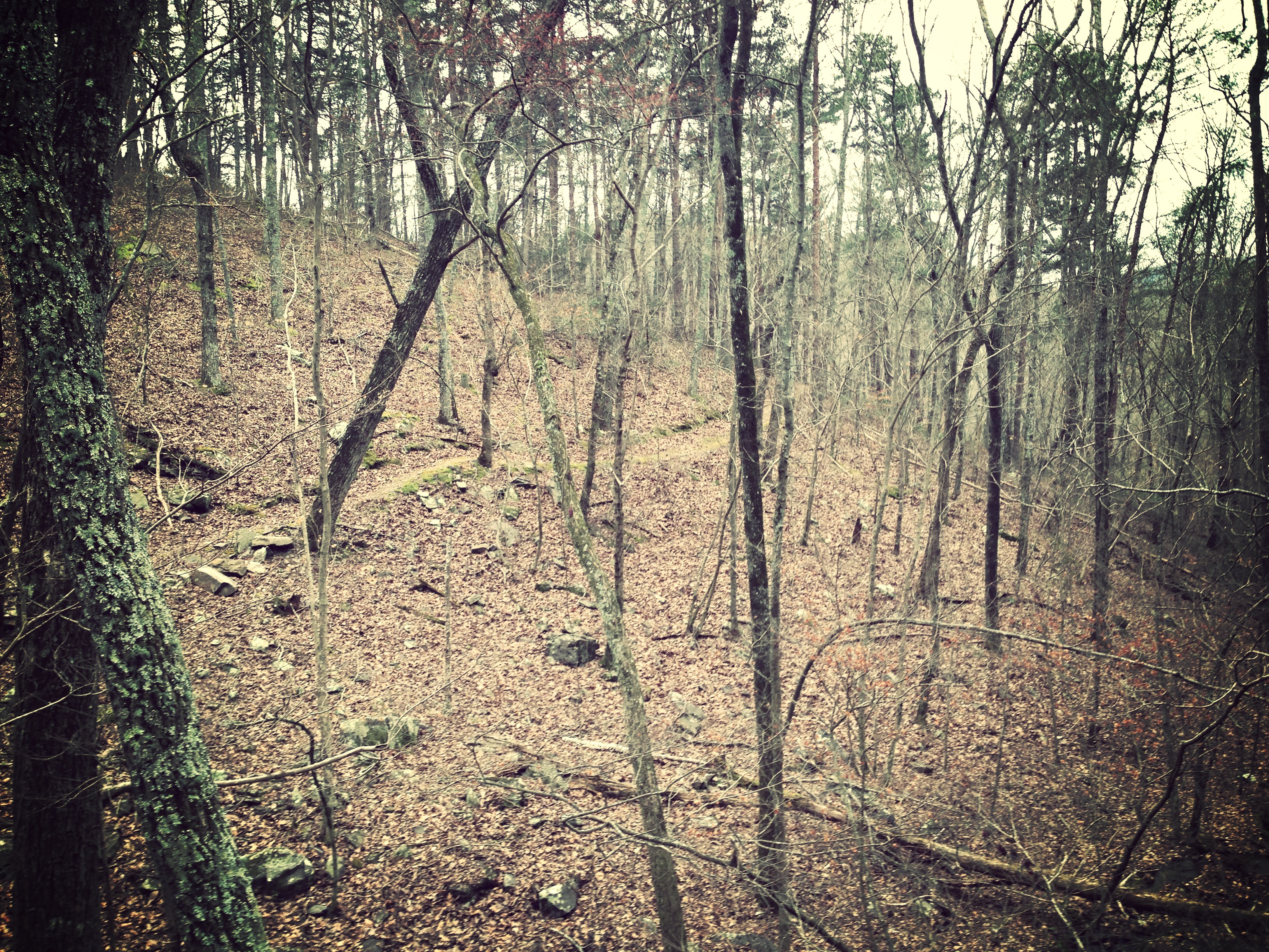
North Georgia
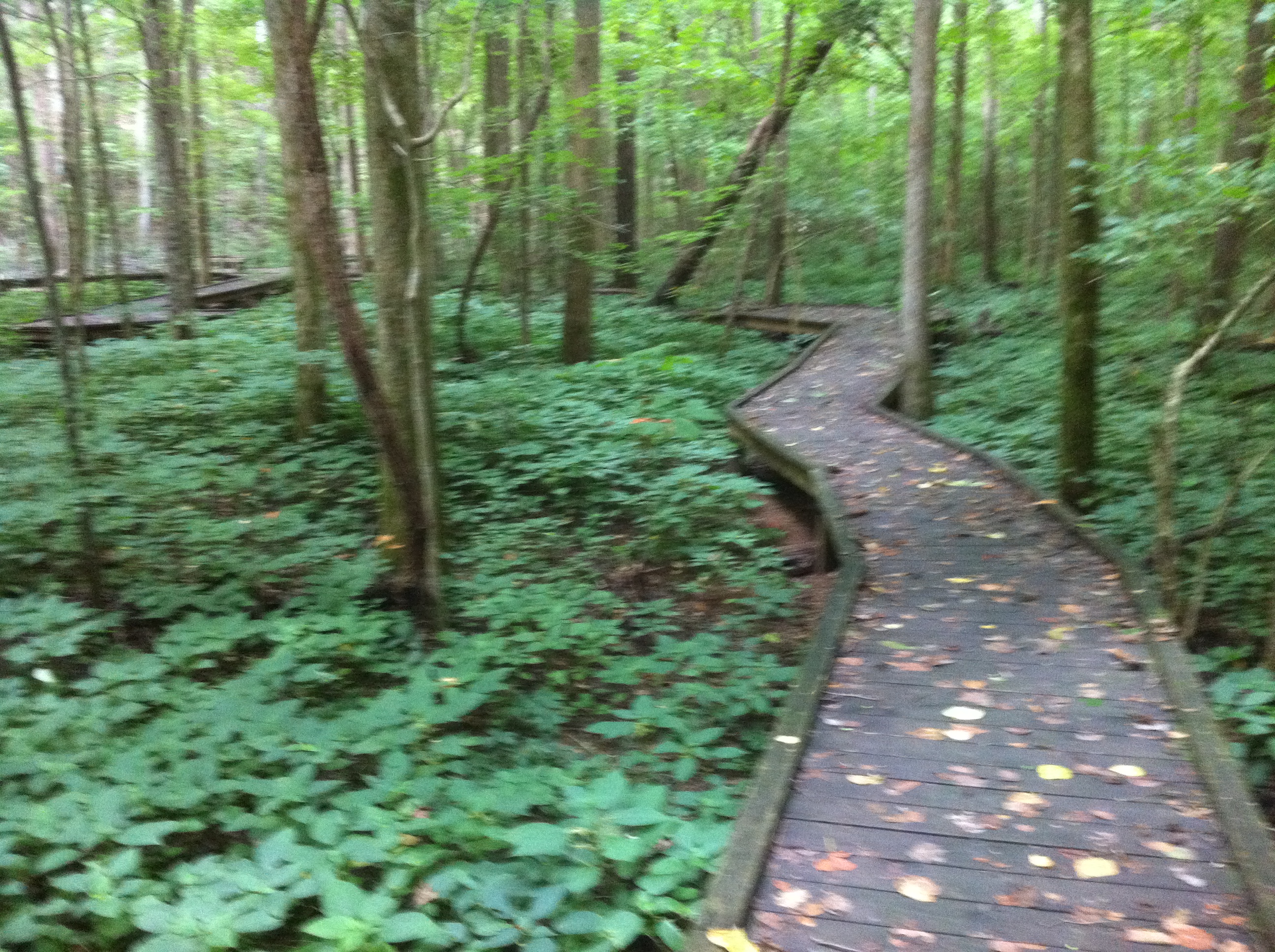
Hiking Day at Chickamauga Creek Trail
Chickamauga Reenactors 2008 1313
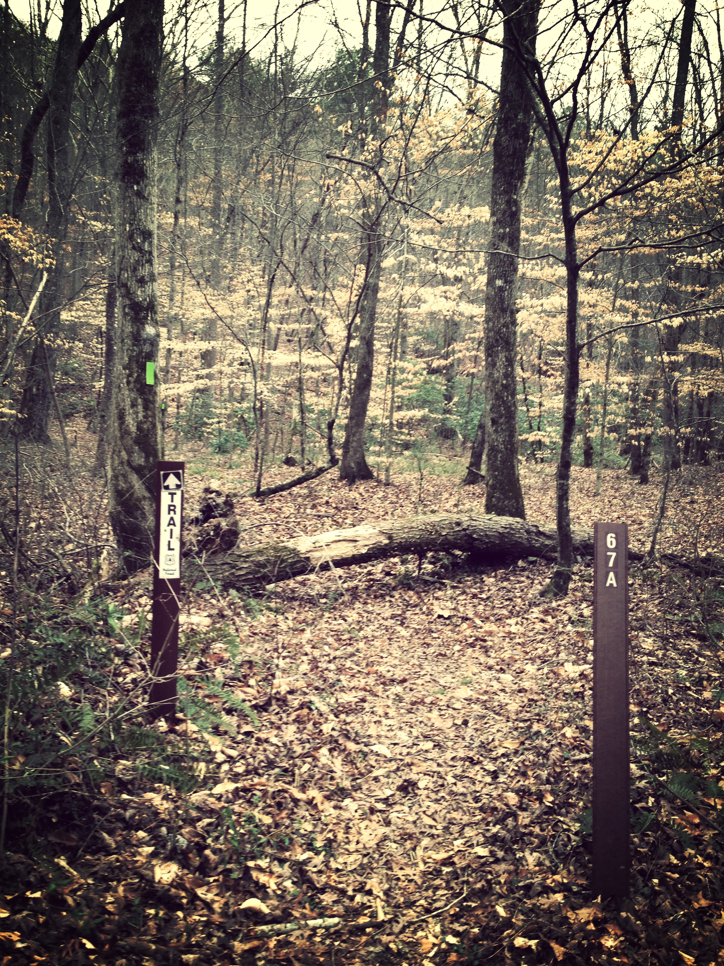
Hiking Day at Chickamauga Creek Trail

Boardwalk overlook at Pocket Branch
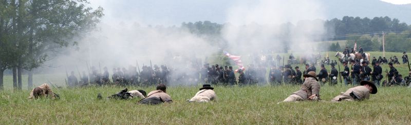
Chickamauga Reenactors 2008 1385
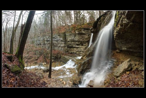
Pocket Falls

Hiking Day at Chickamauga Creek Trail
Hiking Day at Chickamauga Creek Trail
North Georgia
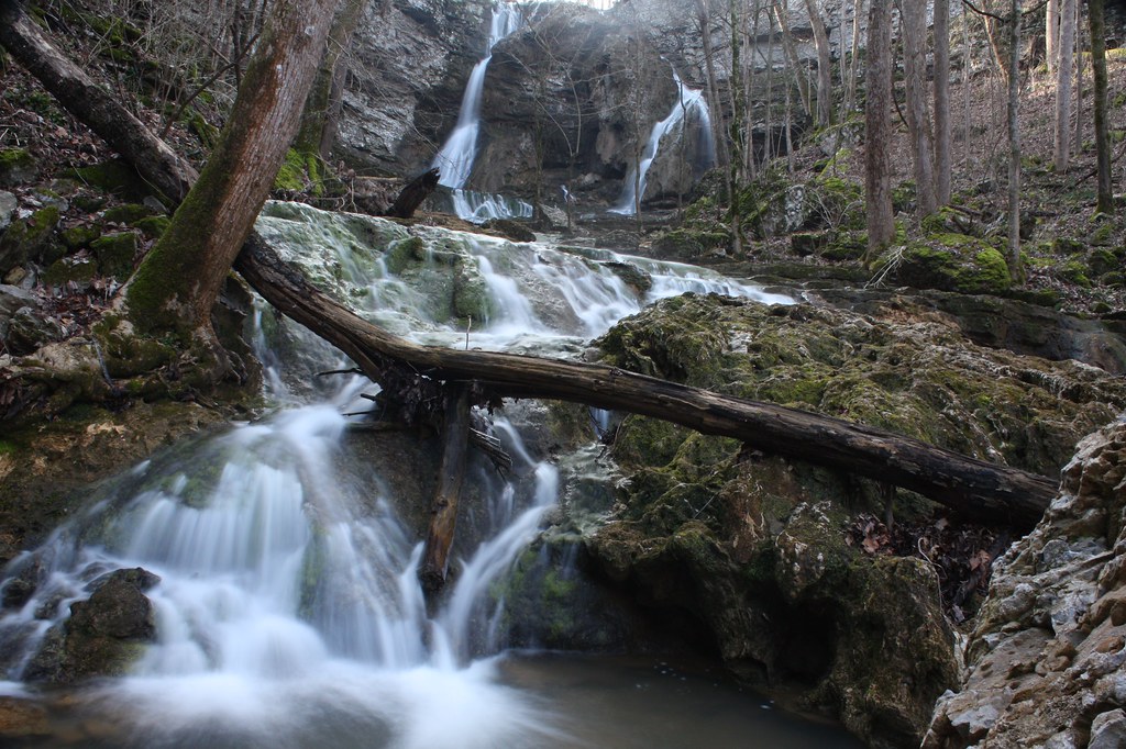
Pocket Falls, NW GA

Chickamauga Reenactors 2008 1409
Wildflower Trail
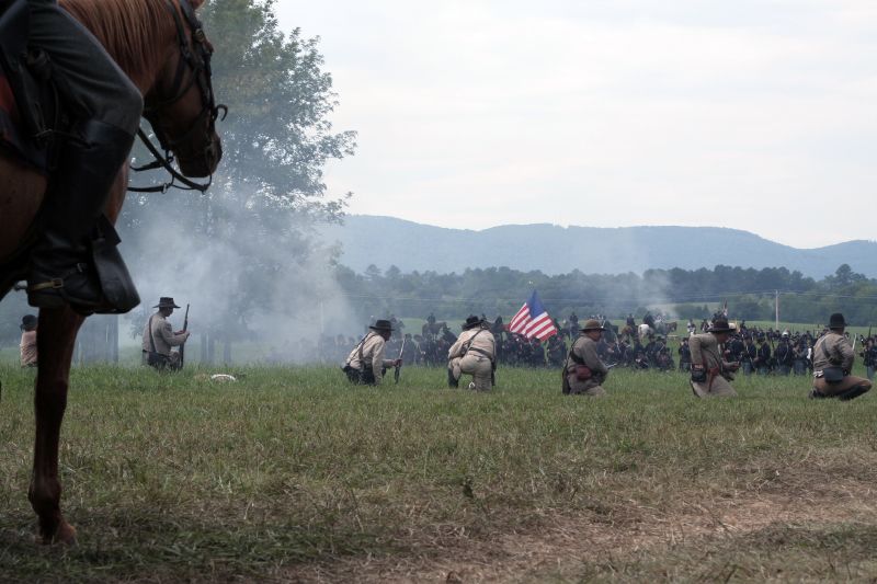
Chickamauga Reenactors 2008 1370

Sunset over Lookout Mountain
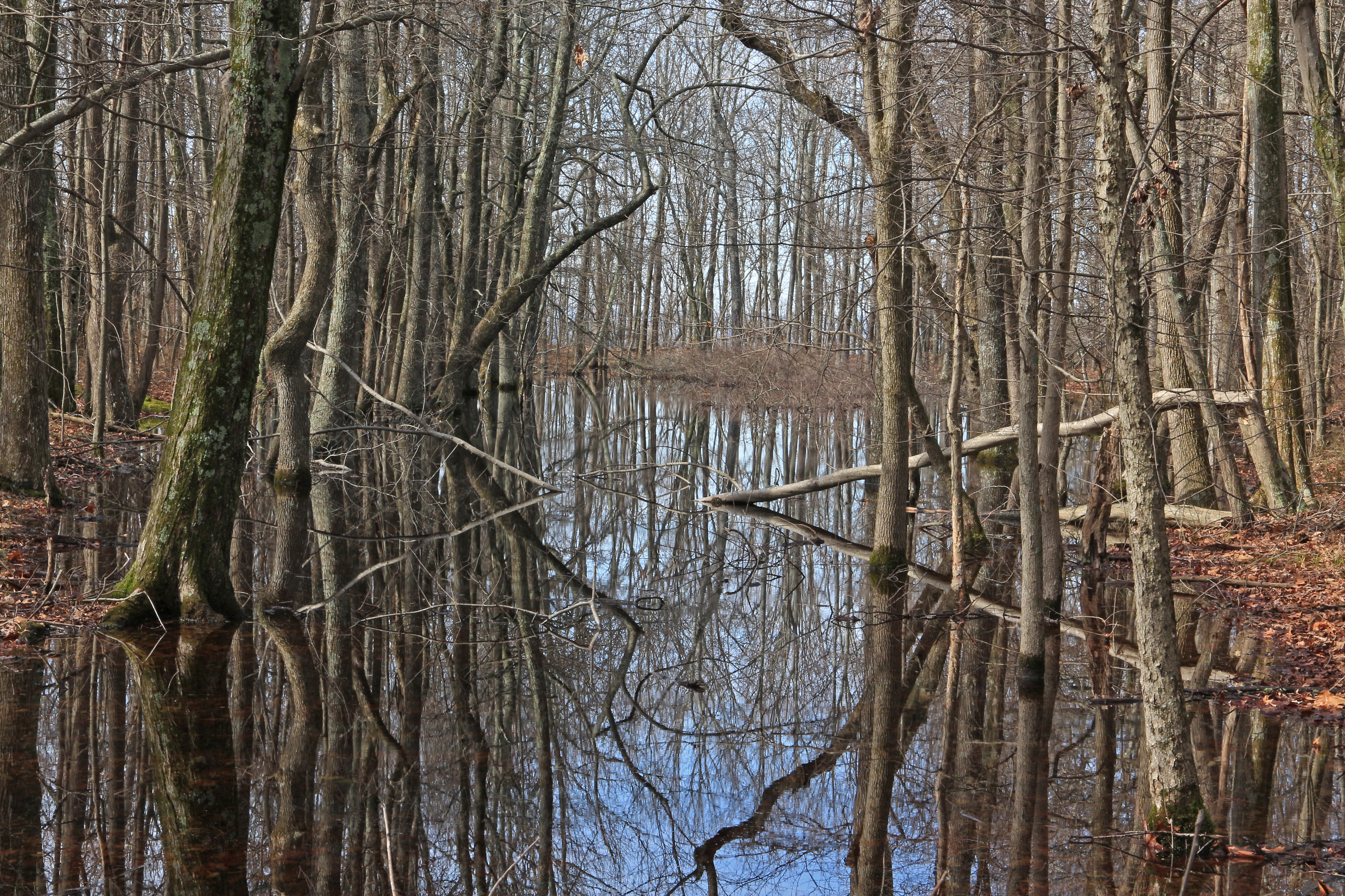
Ephemeral Pond No. 2, Pigeon Mountain, Crockford-Pigeon Mountain Wildlife Management Area, Walker County, Georgia 2
Topographic Map of Ken Visage Rd, LaFayette, GA, USA
Find elevation by address:

Places near Ken Visage Rd, LaFayette, GA, USA:
454 Ken Visage Rd
9 Sunset Dr
33 Dry Creek Rd
31 Dry Creek Rd
89 Quail Run
Lafayette
Stanfield Road
859 Cannon Rd
280 Coffman Springs Rd
98 Hamilton Ln
337 Monroe Green Rd
Mcgaha Road
350 Glen Eden Way
271 Glen Eden Way
35 Round Pond Rd, LaFayette, GA, USA
840 Bronco Rd
840 Bronco Rd
6051 Ga-95
GA-, LaFayette, GA, USA
68 Center Grove Church Rd, Rock Spring, GA, USA
Recent Searches:
- Elevation of Corso Fratelli Cairoli, 35, Macerata MC, Italy
- Elevation of Tallevast Rd, Sarasota, FL, USA
- Elevation of 4th St E, Sonoma, CA, USA
- Elevation of Black Hollow Rd, Pennsdale, PA, USA
- Elevation of Oakland Ave, Williamsport, PA, USA
- Elevation of Pedrógão Grande, Portugal
- Elevation of Klee Dr, Martinsburg, WV, USA
- Elevation of Via Roma, Pieranica CR, Italy
- Elevation of Tavkvetili Mountain, Georgia
- Elevation of Hartfords Bluff Cir, Mt Pleasant, SC, USA