Elevation of CA-, Cuyama, CA, USA

Location: United States > California > Santa Barbara County > Cuyama >

Longitude: -119.61490

Latitude: 34.9350499

Elevation: 691m / 2267feet

Barometric Pressure: 93KPa

Elevation Map:

elevation map of CA-, Cuyama, CA, USA

Satellite Map:

Satellite map of CA-, Cuyama, CA, USA

Related Photos:

carrizoplain elkhornroad dsc060201a
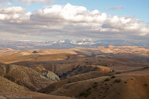
Home on the range...
d50 landscapes nikond50 hills grasslands fromthetop carrizoplainnationalmonument ©patulrich vosplusbellesphotos
Crossing the Temblor Range
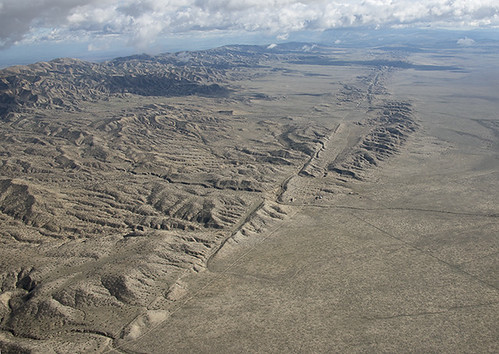
california nature sanandreasfault fault geology sanandreas sanluisobispocounty geomorphology aerialphotograph carrizoplain carrizoplainnationalmonument
Aerial view of the San Andreas Fault, Carrizo Plain, California
california trip travel camping vacation plant flower monument nature field yellow landscape carpet outdoors spring offroad 4x4 4wd hike kern trail national bloom wildflowers plain rei slo sanluisobispo bakersfield blm sanjoaquinvalley carrizo mckittrick onlyinajeep bureauoflandmanagement jeepwranglersport sodalakeroad carrisa halfdome2
Carrizo Plain National Monument, Caliente Range, Camp
california autumn sunset fall clouds landscape skies hills roads plains desolate deserted carrizoplain carrizoplainnationalmonument californiatnc11
Dreaming of Carrizo
california trip travel camping vacation plant monument nature field yellow landscape carpet outdoors spring hike kern trail national bloom wildflowers plain rei slo sanluisobispo bakersfield blm sanjoaquinvalley carrizo mckittrick bureauoflandmanagement sodalakeroad carrisa halfdome2
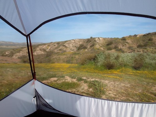
Carrizo Plain National Monument, Tent
california vacation santabarbara disneyland aerialview 2011 virginamerica
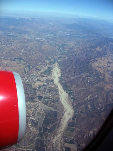
Dry Gulch Looking Stream
california ranch old trip travel vacation house building tourism home monument nature field rural landscape carpet outdoors spring farm hike kern nostalgia trail national agriculture plain slo sanluisobispo bakersfield blm sanjoaquinvalley carrizo mckittrick bureauoflandmanagement sodalakeroad carrisa
Carrizo Plain National Monument, Traver Ranch, Bat Habitat
california trip travel camping vacation plant flower monument nature field yellow landscape carpet outdoors spring hike kern trail national halfdome bloom wildflowers plain rei slo sanluisobispo bakersfield blm sanjoaquinvalley carrizo mckittrick bureauoflandmanagement sodalakeroad carrisa
Carrizo Plain National Monument, Wildflowers
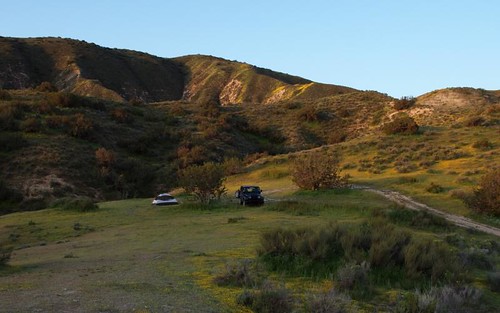
california road trip travel vacation plant flower monument nature field yellow landscape carpet outdoors spring hike kern dirt trail national bloom wildflowers plain slo sanluisobispo bakersfield blm sanjoaquinvalley carrizo mckittrick bureauoflandmanagement sodalakeroad carrisa
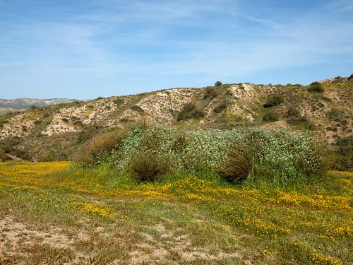
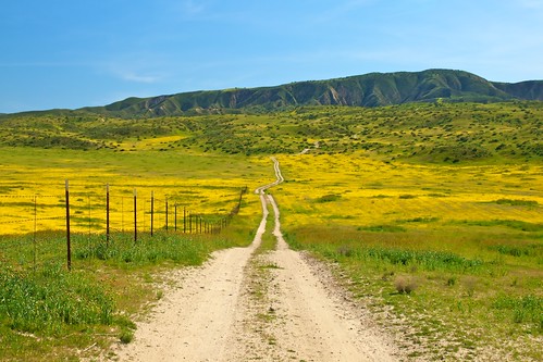
Carrizo Plain National Monument, Caliente Range, Dirt Road
california ranch old trip travel vacation tourism monument nature field rural landscape carpet outdoors spring farm hike kern nostalgia trail national wildflowers agriculture plain slo sanluisobispo bakersfield blm sanjoaquinvalley carrizo mckittrick bureauoflandmanagement sodalakeroad carrisa
Carrizo Plain National Monument, A.F. Traver Ranch
california ranch old trip travel vacation tourism monument nature field rural landscape carpet outdoors spring rust farm hike kern nostalgia trail national wildflowers agriculture plain slo sanluisobispo bakersfield blm sanjoaquinvalley carrizo mckittrick bureauoflandmanagement sodalakeroad carrisa
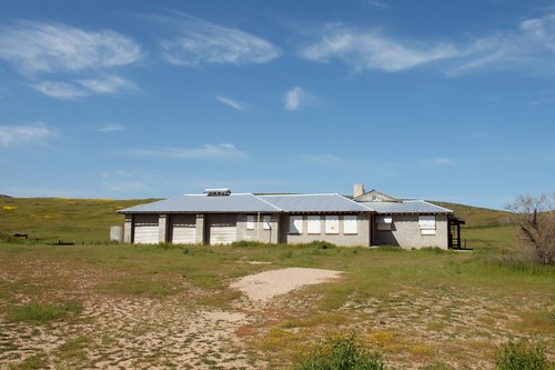
Carrizo Plain National Monument, A.F. Traver Ranch, House
california flowers yellow purple wildflowers carrizoplain carrizoplainnationalmonument sodalakeroad
IMG_7651 SODA LAKE RD
california road trip travel pink vacation orange plant flower green monument nature field yellow landscape carpet outdoors spring purple heart hike kern belly dirt trail national bloom wildflowers awards plain platinum slo sanluisobispo bakersfield blm sanjoaquinvalley carrizo mckittrick bureauoflandmanagement temblorrange sodalakeroad carrisa bestcapturesaoi mygearandmepremium mygearandmebronze
Carrizo Plain National Monument, Caliente Range, The Road Home
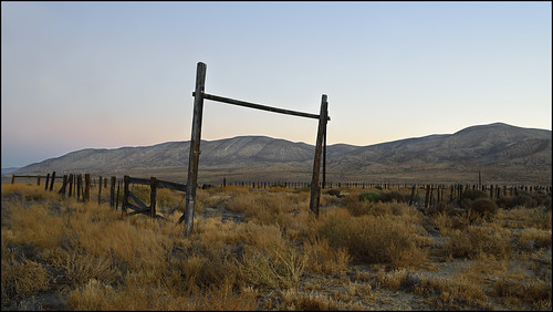
california ranch sanandreasfault western livestock americanwest corral carrizoplain kerncounty temblorrange carrizoplainnationalmonument earthquakefault thegoldenstate faultzone traverranch blmlands
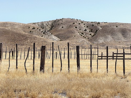
Western landscape, Kern County, California
carrizoplain eyefi
DSC_5471.JPG
california unitedstates blm carrizoplain carrizoplainnationalmonument 69kmswofbakersfield
Corolla, Meet Carrizo
california light storm mountains silhouette clouds landscape god ngc dramatic stormy hills explore thunderstorm rays centralcoast naturesbest nationalgeographic crepuscular godrays carrizoplain cuyama explored outdoorphotographer highway166 canon5dmarkii recedingridgelines robinblackphotography
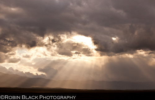
Spring Thunderstorm over Cuyama, California
hipstamatic showusyourfieldofdreamshipstamaticcontestentry
The Distance In Your Eyes (Hipstamatic Contest Entry)
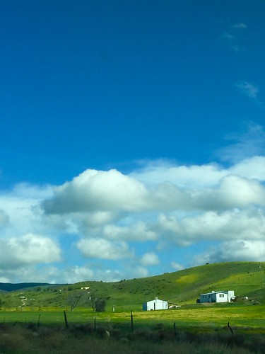
clouds countryside bluesky greenlandscape sanramargaritacalifornia
Verdant landscape
california road usa america canon eos unitedstates roadtrip amerika kalifornien 400d erroranch
Erro Ranch
wildflowers sodalake californiavalley carrizoplain
Elkhorn Grade
nationalpark nationalmonument califronia carrizoplain
Sun setting at Carizo Plain Nat Mon-01 5-10-10
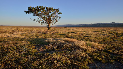
tree landscape lonely lonetree carrizoplain blacklocust carrizoplainnationalmonument dsc6784aw
Black Locust
wildflowers sodalake californiavalley carrizoplain
Elkhorn Grade
Carrizo Plains
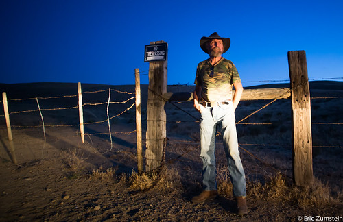
hyw33 100strangers canon6d
Bill Lewis aka Lone Wolf 2/100
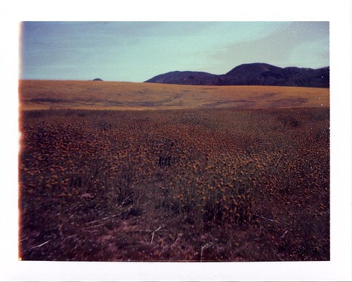
polaroid expired polaroid669 carrizoplainnationalmonument calienterange
Below Lawson Spring
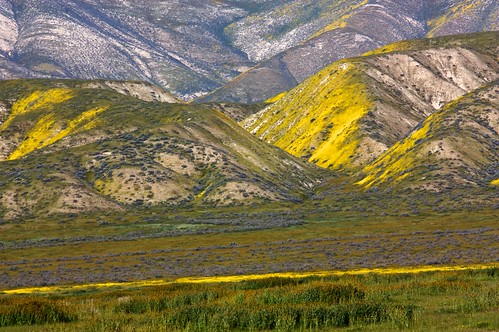
Hills of Gold
california ranch old trip travel red vacation cloud plant tourism monument nature field rural landscape carpet outdoors spring rust farm hike kern nostalgia trail national wildflowers agriculture plain slo sanluisobispo bakersfield blm sanjoaquinvalley carrizo mckittrick bureauoflandmanagement sodalakeroad carrisa mygearandmepremium
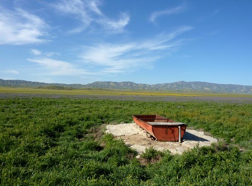
Carrizo Plain National Monument, A.F. Traver Ranch, Watering Trough
earthquake sanandreasfault geology sodalake carrizoplain scarp sagpond
Carrizo Plain, California