Elevation of CA-94, Potrero, CA, USA
Location: United States > California > San Diego County >
Longitude: -116.61371
Latitude: 32.604571
Elevation: 713m / 2339feet
Barometric Pressure: 93KPa
Elevation Map:
Satellite Map:
Related Photos:
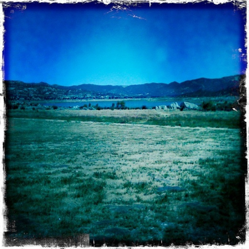
view upon waking
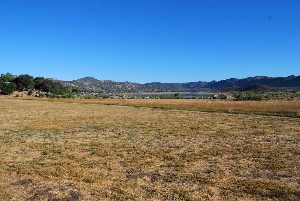
our morning view

taking in the view
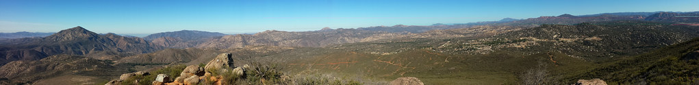
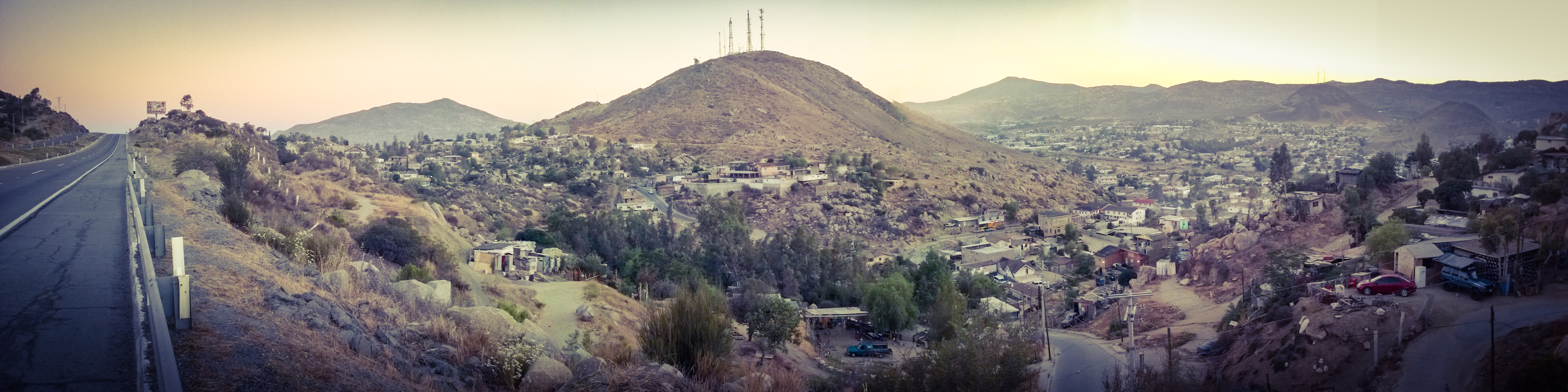
Potrero Peak Summit Pano

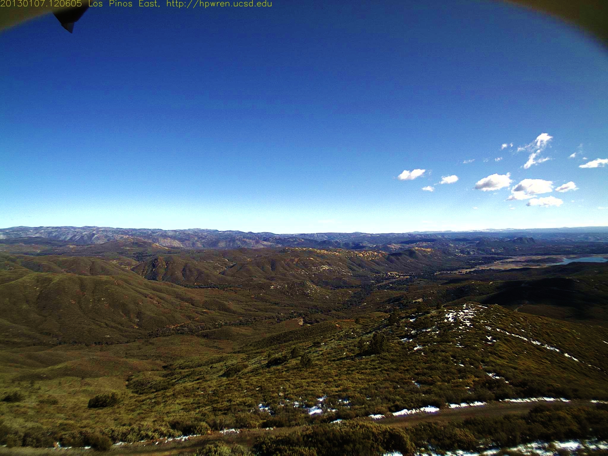
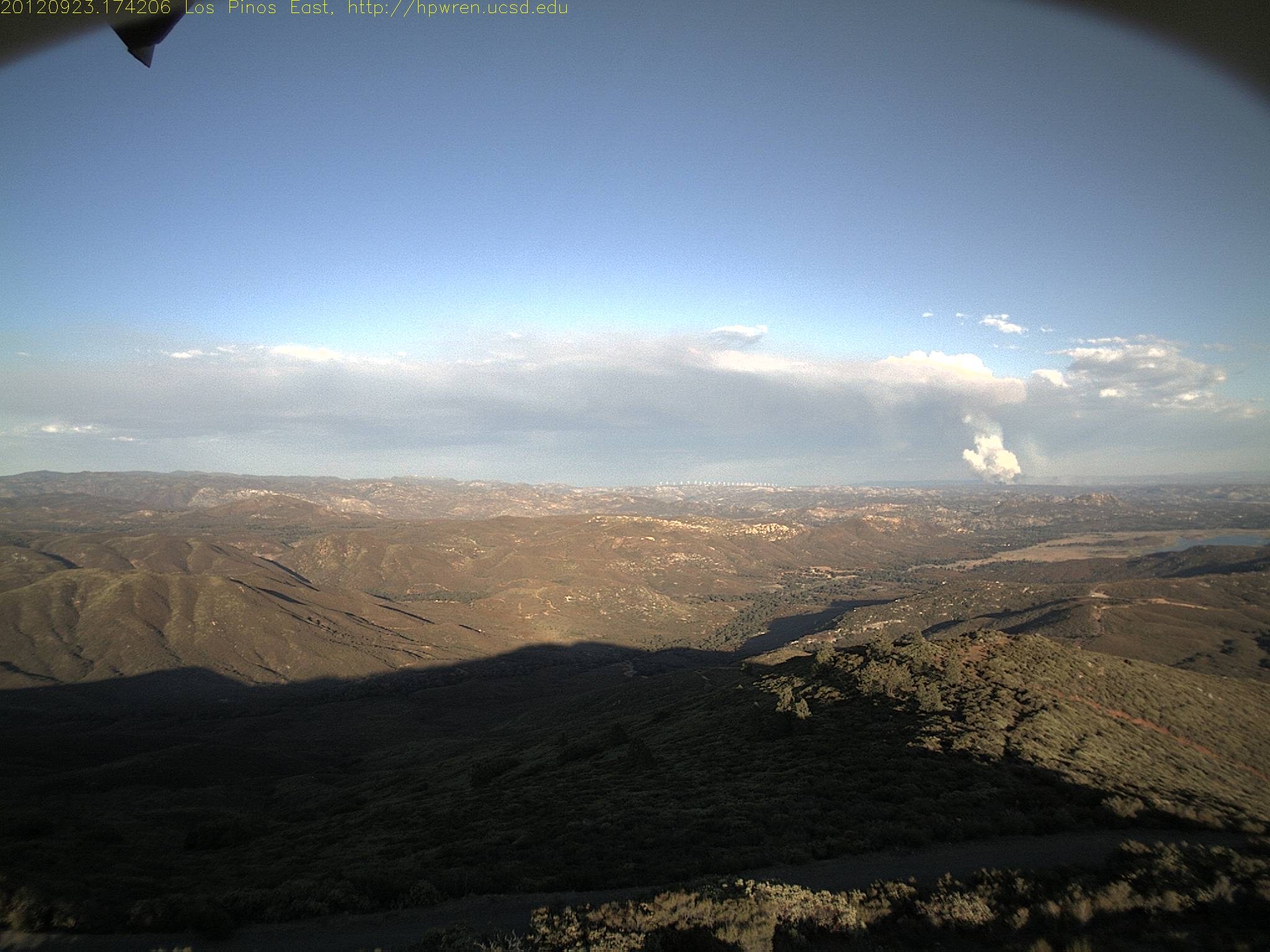
Los Pinos Peak East view of 'Thunderheads' at sunrise

69 air miles away, the Mountain Fire from Los Pinos Peak N view 7-17-13 210 PM
Los Pinos East view -- after
Los Pinos 360° Panorama
Los Pinos West view: Shadow effect
Los Pinos north view 0716
North view from 4,800-ft Los Pinos
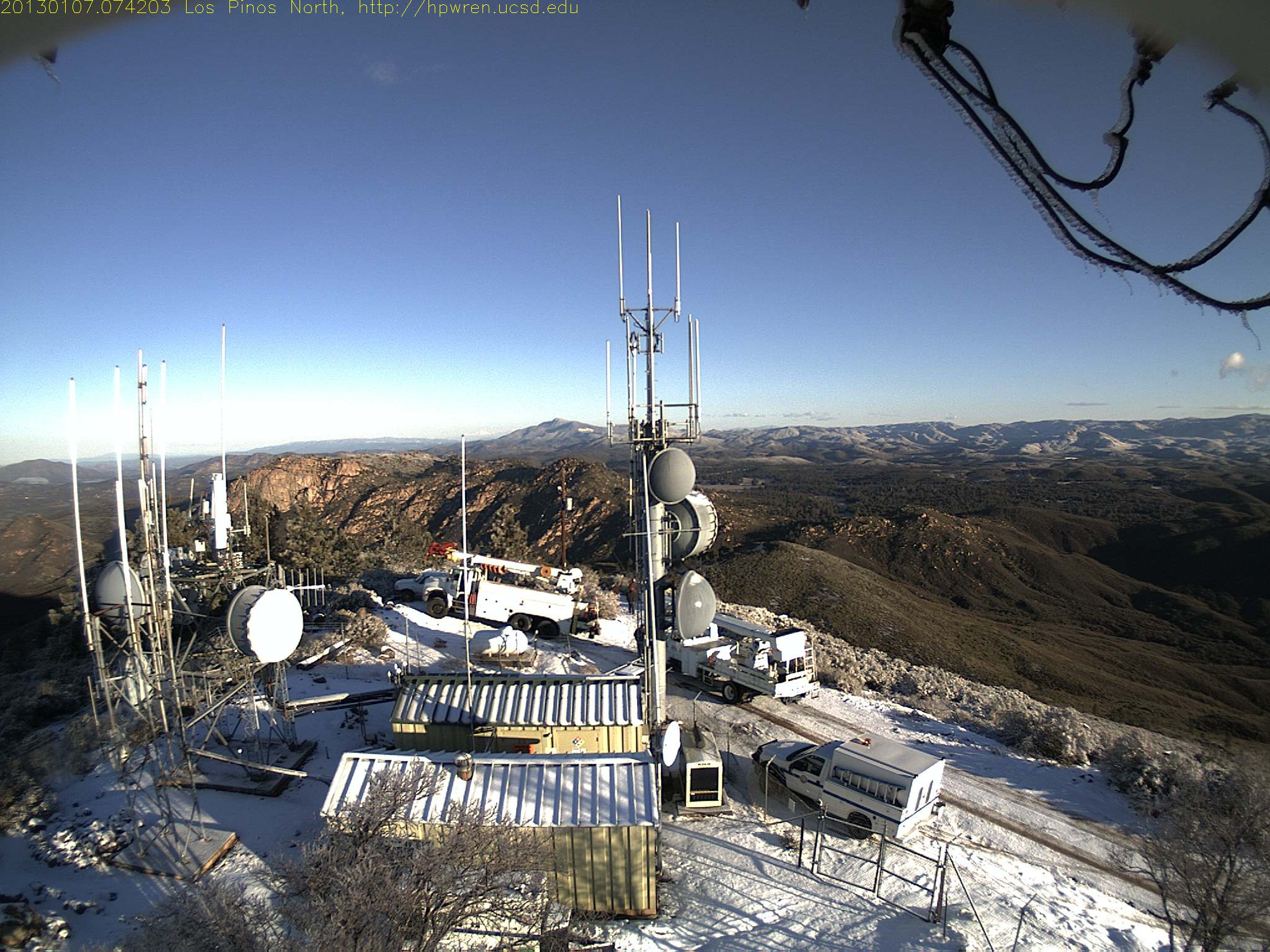
Mt Pinos north view 0742
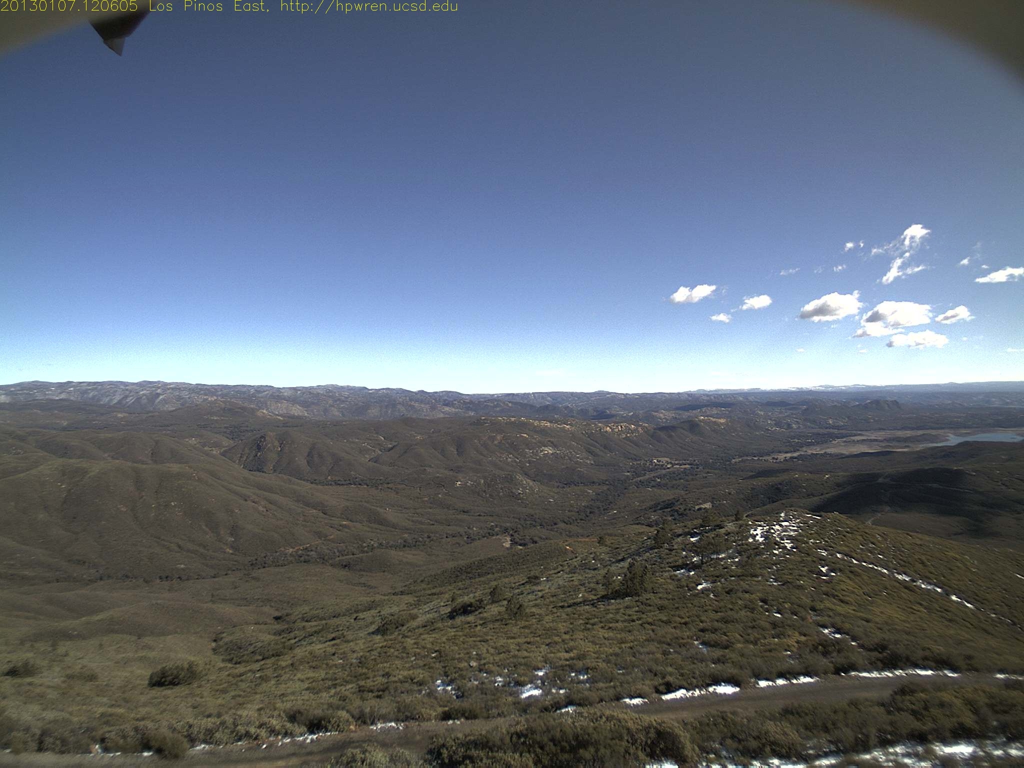
Los Pinos East view: What a difference - - before
View from the porch

Los Pinos South view
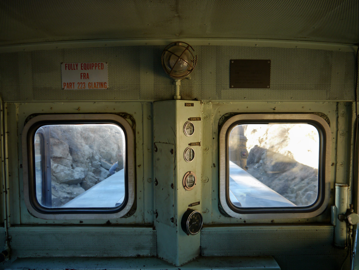
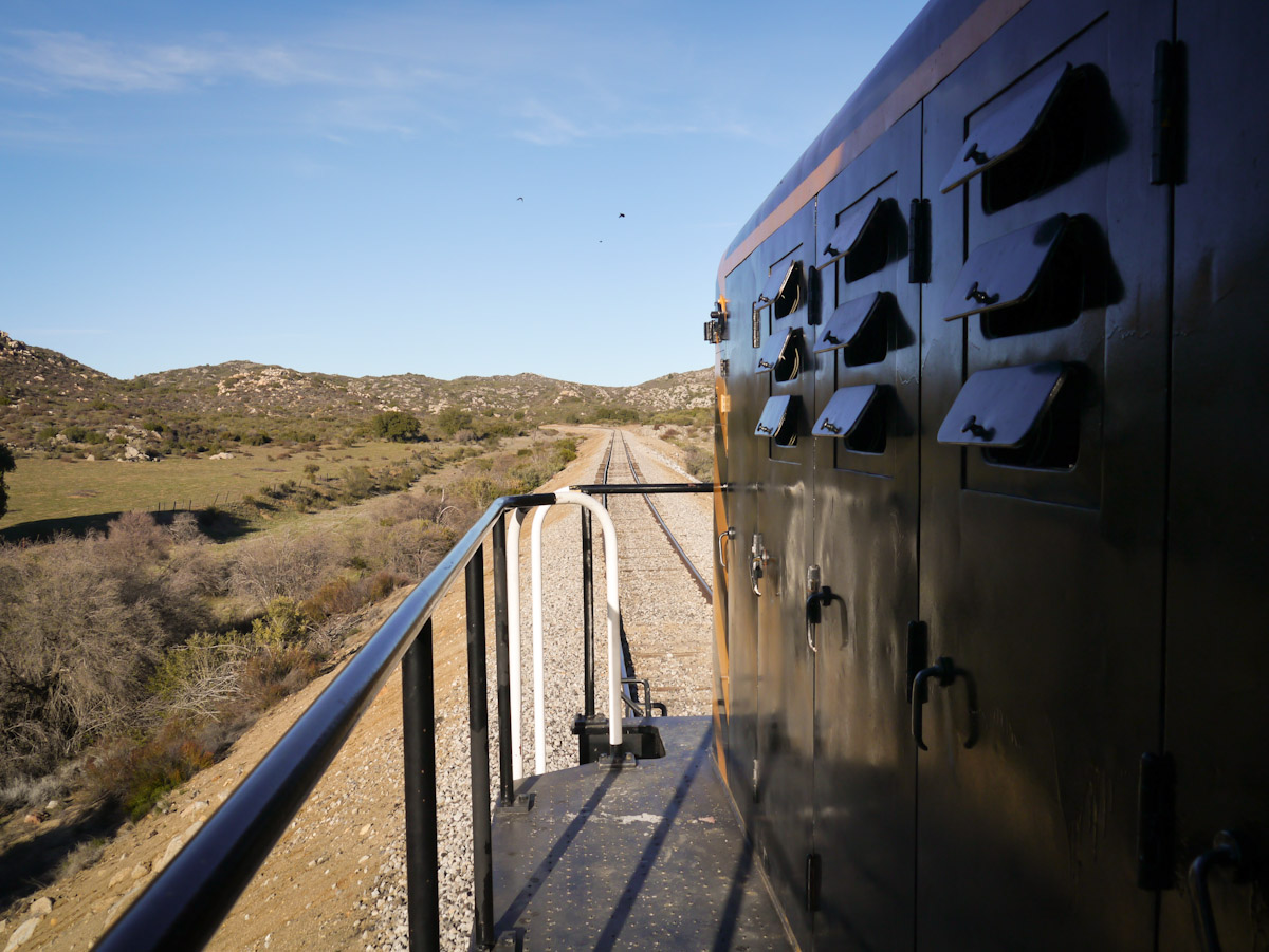
Cab view
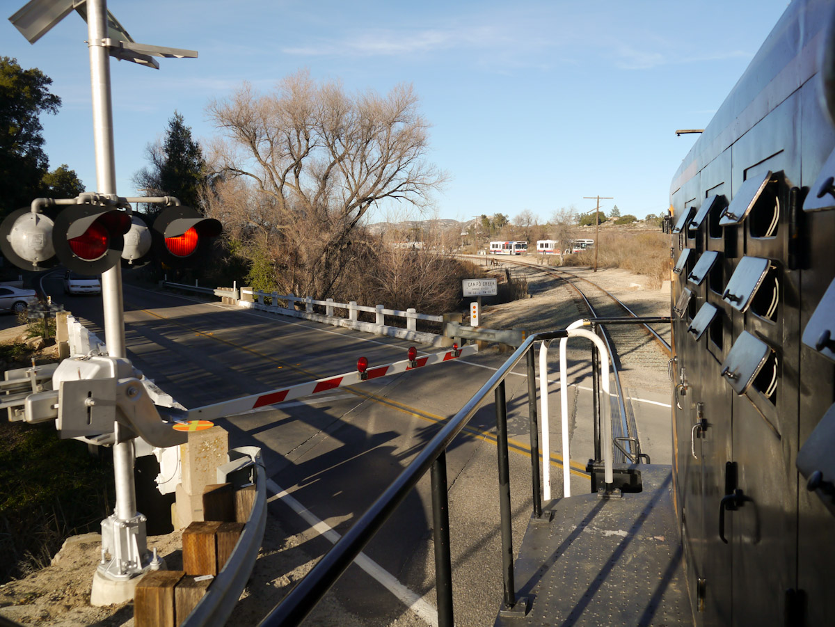
Campo Road Crossing

West view from 4800' Los Pinos Peak
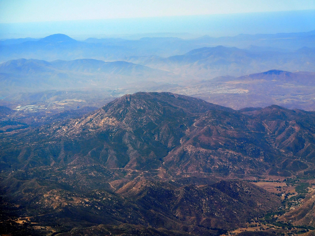
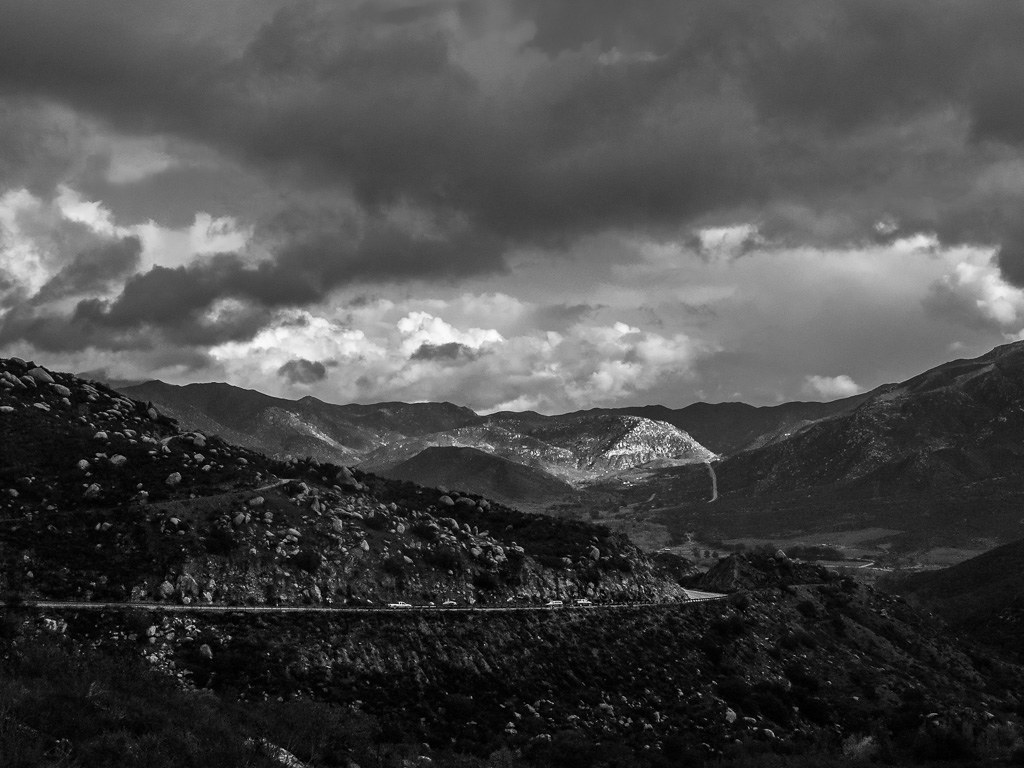
Aerial view of Mountain Range near San Diego CA

train views
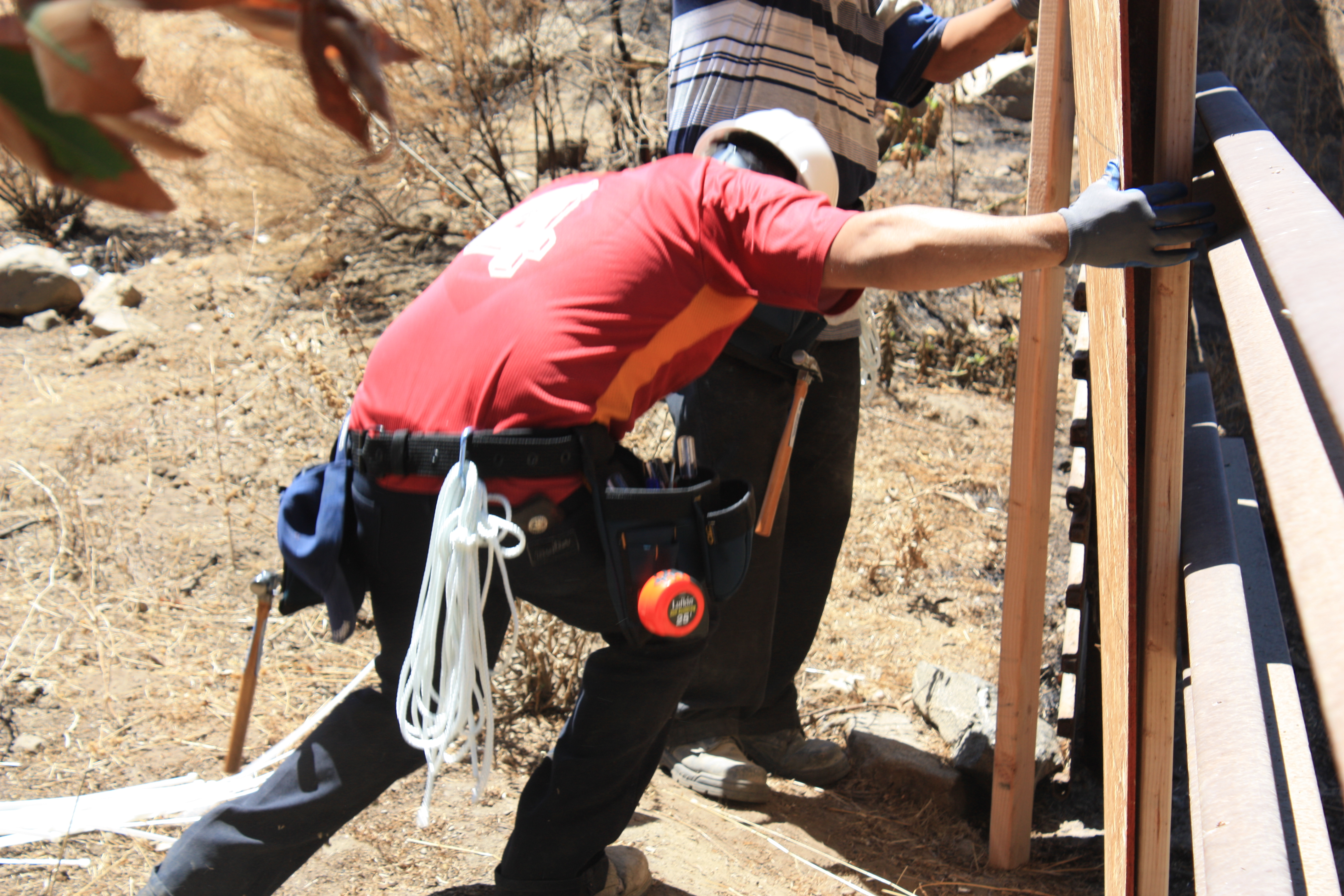
US Border Fence Repair

Riveting Rust
Rancho La Puerta, Los Arboles 1
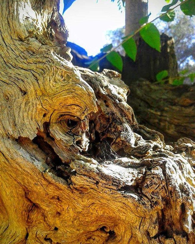
#trees #nature #naturelovers #earth #life
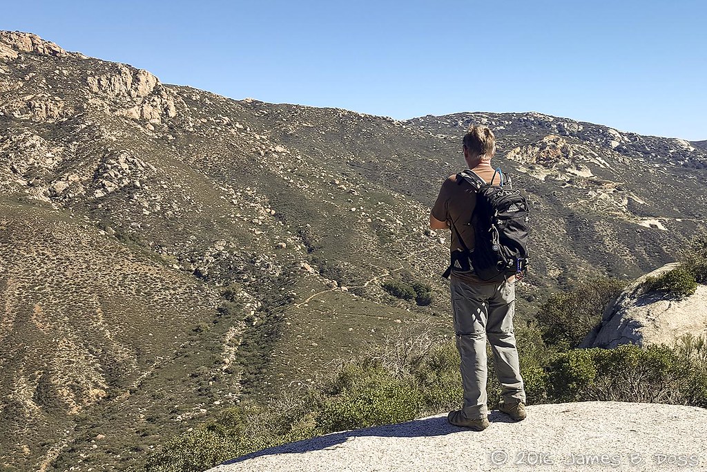
Contemplating the Climb
Shockey fire from Los Pinos

Finding peace in a quiet center (after a full week OFFline ... Ahhhhhhhh).

Las Auras

Rancho La Puerta, Los Arboles 2

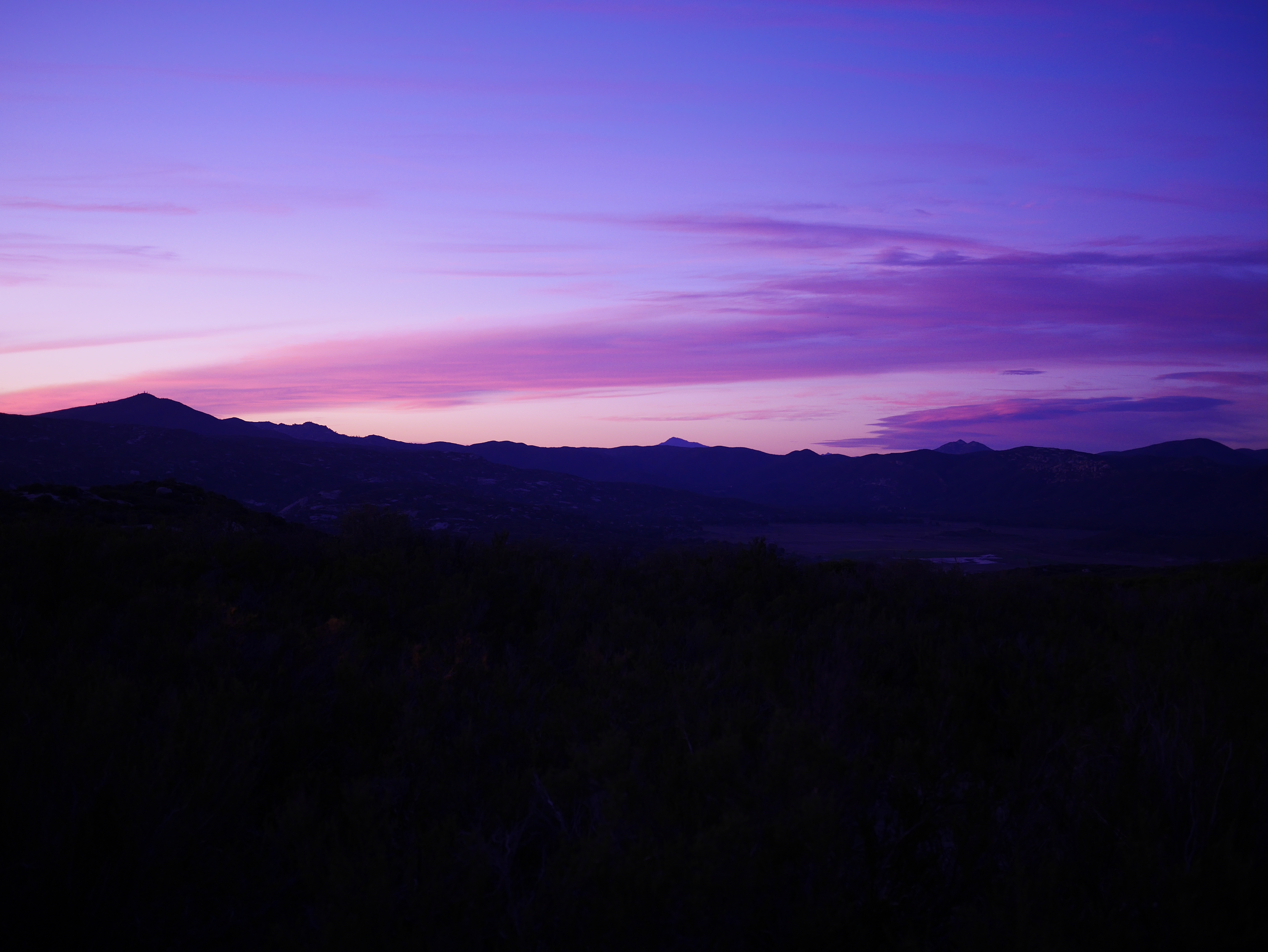
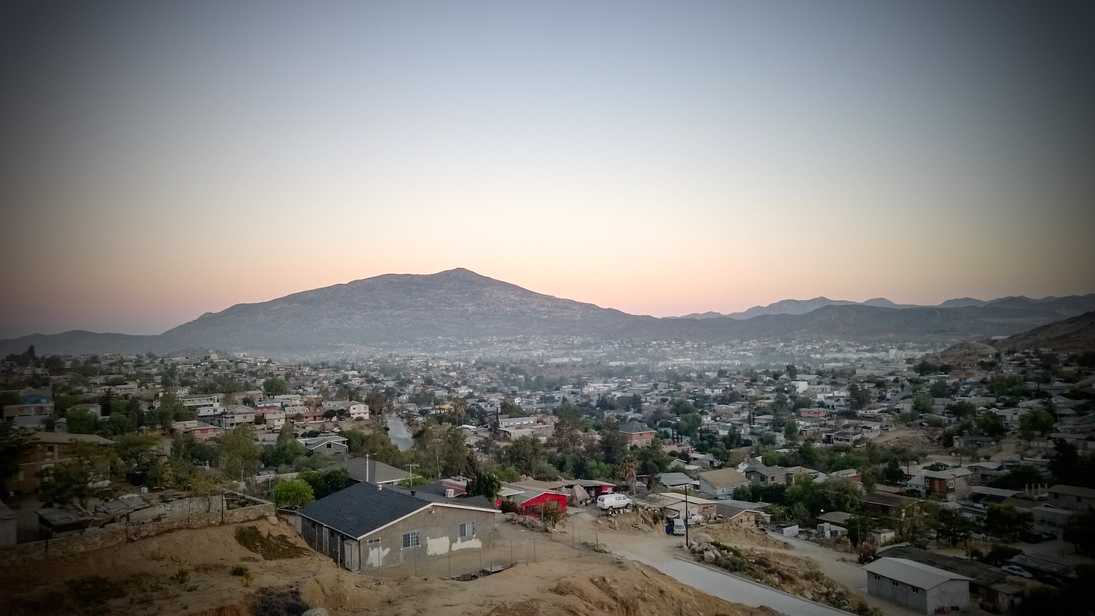
Tecate sunrise
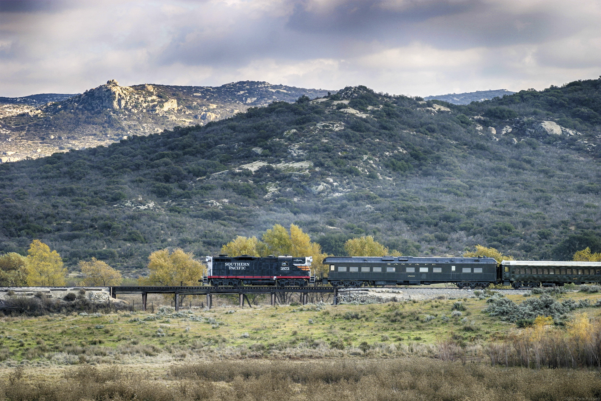
SP 3873 Campo California Nov 2004
First sunset.
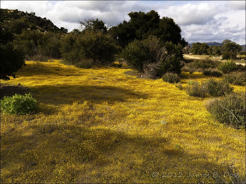
Watcher in Field of Yellow Flowers
C15A2386-Edit-2
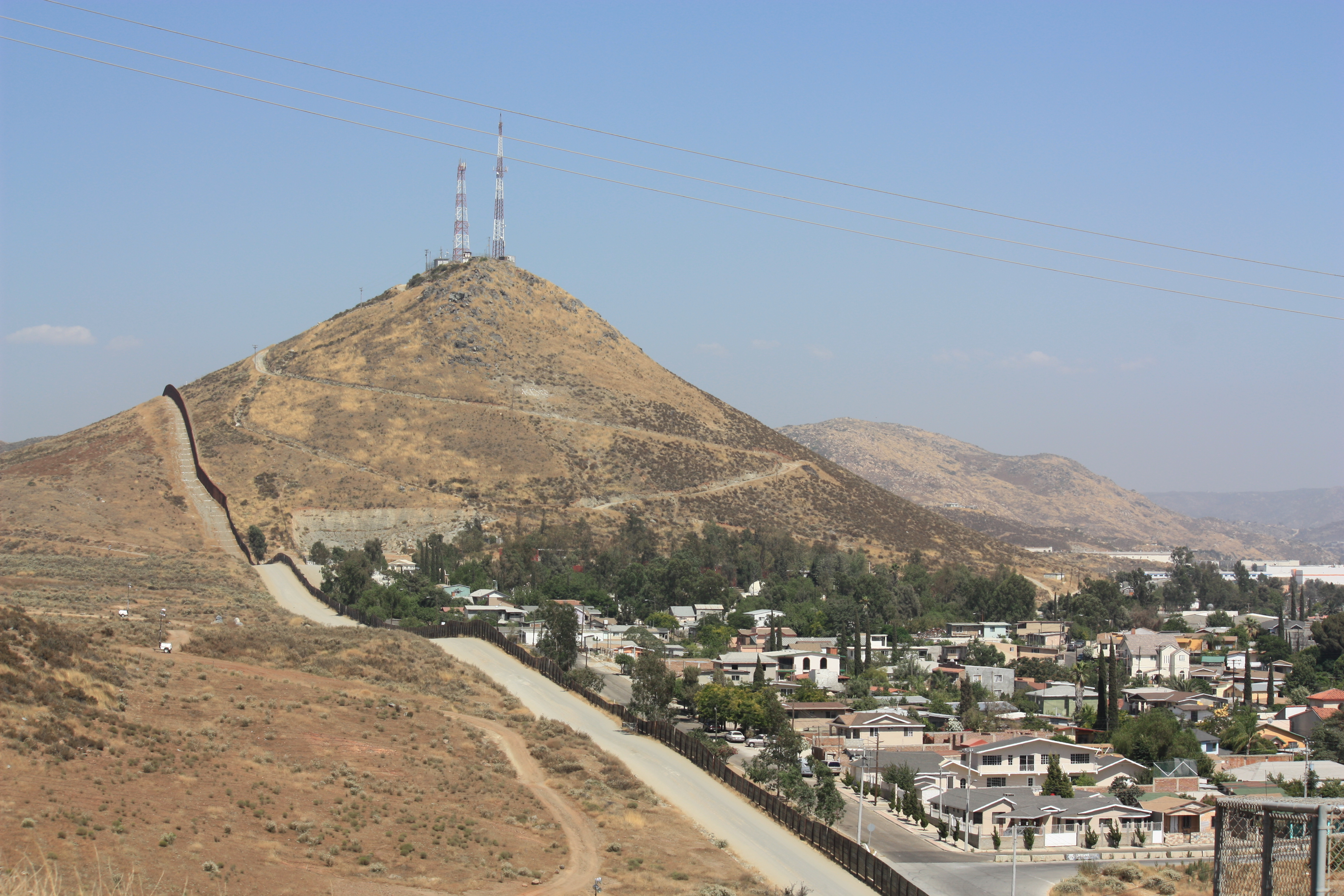
US-Mexico Border Fence

Lake Morena
Entre cerros
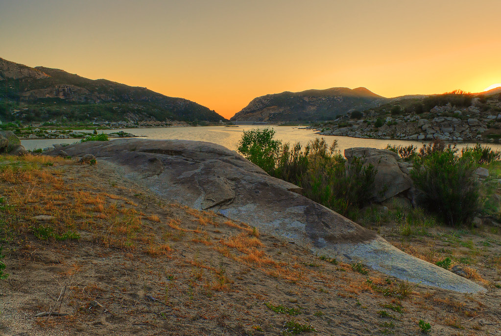
Lake Morena
de antes de amanecer
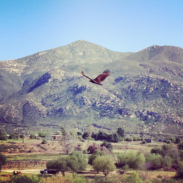
Soaring in the valley
Topographic Map of CA-94, Potrero, CA, USA
Find elevation by address:

Places near CA-94, Potrero, CA, USA:
Potrero
24655 Emery Ln
Tecate
Tecate, CA, USA
1 Lewis Ln, Tecate, CA, USA
Tecate
Tecate
27521 Potrero Valley Rd
1831 Barrett Lake Rd
21044 Barrett Smith Rd
21028 Barrett Smith Rd
1250 Barrett Lake Rd
CA-94, Campo, CA, USA
CA-94, Dulzura, CA, USA
2089 Lake Morena Dr
Lake Morena Drive
1817 Lake Morena Dr
Morena View Dr, Campo, CA, USA
1648 Buckman Springs Rd
30025 Swan Dr
Recent Searches:
- Elevation of Corso Fratelli Cairoli, 35, Macerata MC, Italy
- Elevation of Tallevast Rd, Sarasota, FL, USA
- Elevation of 4th St E, Sonoma, CA, USA
- Elevation of Black Hollow Rd, Pennsdale, PA, USA
- Elevation of Oakland Ave, Williamsport, PA, USA
- Elevation of Pedrógão Grande, Portugal
- Elevation of Klee Dr, Martinsburg, WV, USA
- Elevation of Via Roma, Pieranica CR, Italy
- Elevation of Tavkvetili Mountain, Georgia
- Elevation of Hartfords Bluff Cir, Mt Pleasant, SC, USA