Elevation of Butler County, AL, USA
Location: United States > Alabama >
Longitude: -86.661108
Latitude: 31.6760284
Elevation: 115m / 377feet
Barometric Pressure: 100KPa
Elevation Map:
Satellite Map:
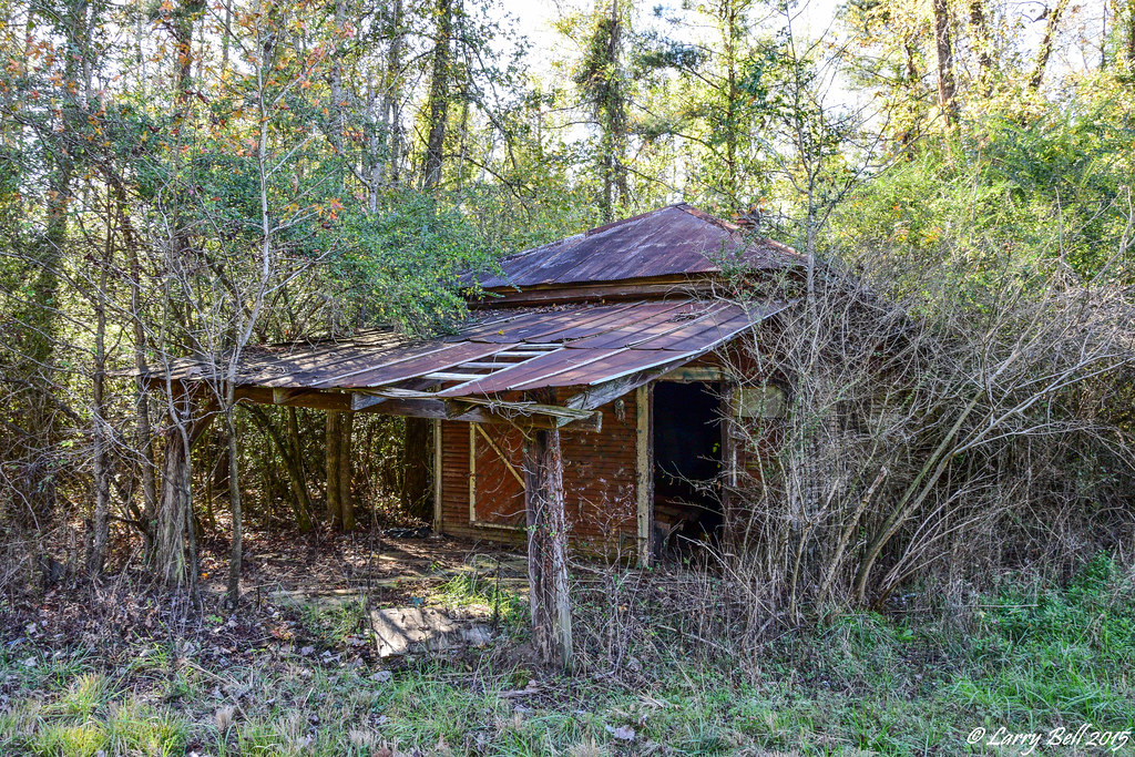
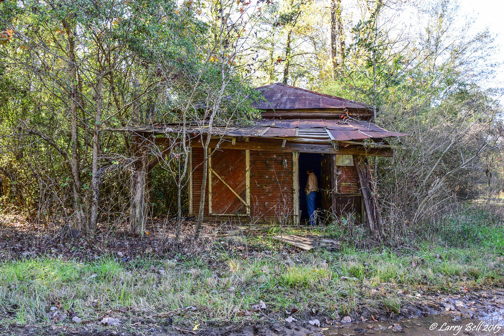
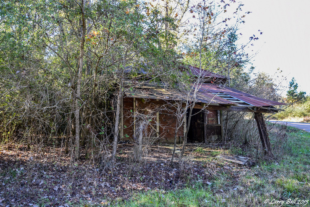
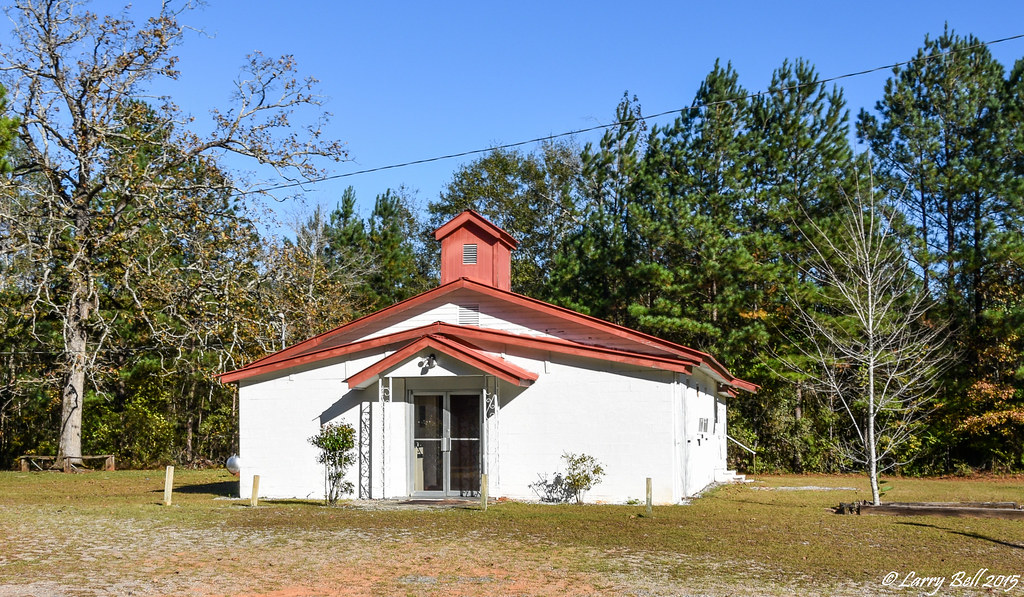
Related Photos:

#cloudy #Alabama
iphone 070413 048
DSC_0341.jpg

Georgiana Al, M701
DSC_0163.jpg

DSC_0157.jpg

DSC_0154.jpg

DSC_0153.jpg

DSC_0152.jpg

DSC_0115.jpg
DSC_0113.jpg
DSC_0110.jpg
DSC_0108.jpg

DSC_0103.jpg

DSC_0101.jpg

DSC_0099.jpg
DSC_0098.jpg
DSC_0127.jpg

DSC_0126.jpg
DSC_0124.jpg
DSC_0121.jpg
DSC_0120.jpg
Topographic Map of Butler County, AL, USA
Find elevation by address:

Places in Butler County, AL, USA:
Places near Butler County, AL, USA:
2257 Co Rd 39
2257 Co Rd 39
2257 Co Rd 39
Georgiana
145 Tombstone Ln
1743 Aztec Rd
Mckenzie
S Garland Rd, McKenzie, AL, USA
Pineapple Hwy, Greenville, AL, USA
Greenville
Starlington Rd, Georgiana, AL, USA
661 Montgomery Hwy
409 Poor House Rd
2395 Airport Rd
2345 Ranch Ln
Deens St, Red Level, AL, USA
Red Level
31084 Us-84
1524 Co Rd 75
29038 Twin View Ln
Recent Searches:
- Elevation of Corso Fratelli Cairoli, 35, Macerata MC, Italy
- Elevation of Tallevast Rd, Sarasota, FL, USA
- Elevation of 4th St E, Sonoma, CA, USA
- Elevation of Black Hollow Rd, Pennsdale, PA, USA
- Elevation of Oakland Ave, Williamsport, PA, USA
- Elevation of Pedrógão Grande, Portugal
- Elevation of Klee Dr, Martinsburg, WV, USA
- Elevation of Via Roma, Pieranica CR, Italy
- Elevation of Tavkvetili Mountain, Georgia
- Elevation of Hartfords Bluff Cir, Mt Pleasant, SC, USA