Elevation of Ranch Ln, Red Level, AL, USA
Location: United States > Alabama > Covington County > Red Level >
Longitude: -86.672739
Latitude: 31.4263498
Elevation: 55m / 180feet
Barometric Pressure: 101KPa
Elevation Map:
Satellite Map:
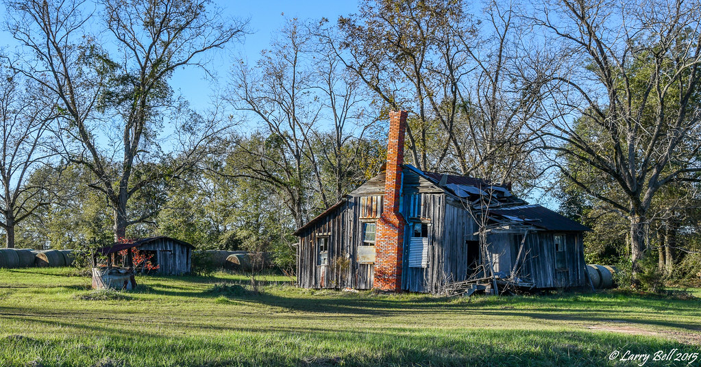
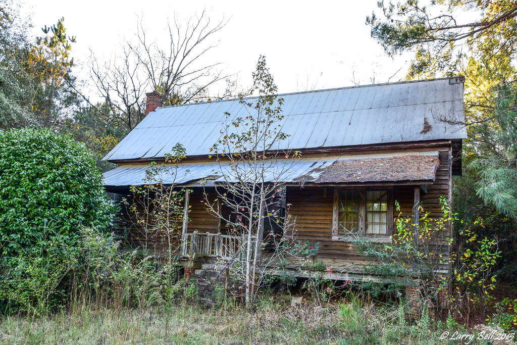
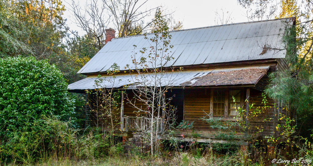
Related Photos:

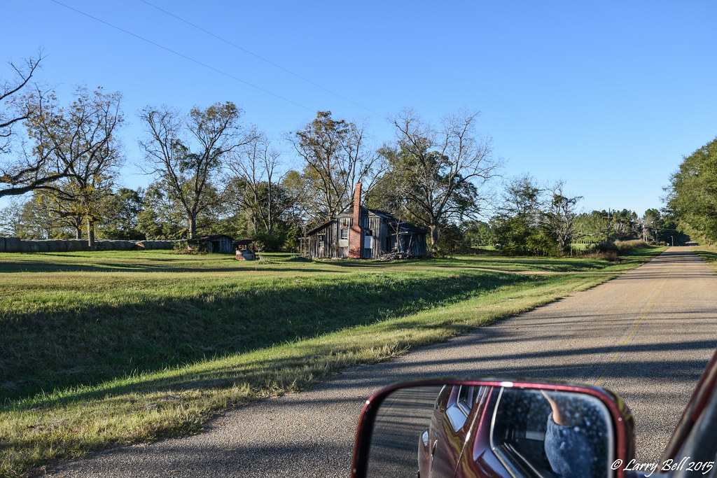
Uninhabited House

DSC_0222.jpg

DSC_0187.jpg
DSC_0175.jpg

DSC_0140.jpg
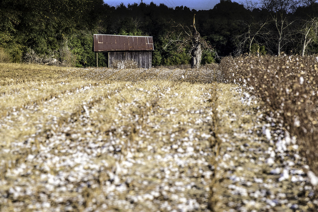
The End of Cotton

DSC_0134-Edit-2

DSC_0397.jpg
DSC_0395.jpg
Capture2.jpg
DSC_0181.jpg
DSC_0218.jpg
DSC_0204.jpg
DSC_0235.jpg
DSC_0233.jpg
DSC_0215.jpg

DSC_0169.jpg
DSC_0168.jpg
DSC_0158.jpg
DSC_0131.jpg
DSC_0130.jpg

DSC_0122.jpg
DSC_0115.jpg

DSC_0113.jpg
DSC_0110.jpg
DSC_0185.jpg
Topographic Map of Ranch Ln, Red Level, AL, USA
Find elevation by address:

Places near Ranch Ln, Red Level, AL, USA:
Deens St, Red Level, AL, USA
Red Level
Loango Rd, Red Level, AL, USA
31084 Us-84
Mckenzie
S Garland Rd, McKenzie, AL, USA
River Falls
Railroad Ave, Andalusia, AL, USA
1802 Cedar Rd
1709 Cedar Rd
29038 Twin View Ln
145 Tombstone Ln
1203 Prestwood Bridge Rd
Covington County
622 Dunson St
15050 Dunns Bridge Rd
262 Crescent St
2257 Co Rd 39
2257 Co Rd 39
2257 Co Rd 39
Recent Searches:
- Elevation of Corso Fratelli Cairoli, 35, Macerata MC, Italy
- Elevation of Tallevast Rd, Sarasota, FL, USA
- Elevation of 4th St E, Sonoma, CA, USA
- Elevation of Black Hollow Rd, Pennsdale, PA, USA
- Elevation of Oakland Ave, Williamsport, PA, USA
- Elevation of Pedrógão Grande, Portugal
- Elevation of Klee Dr, Martinsburg, WV, USA
- Elevation of Via Roma, Pieranica CR, Italy
- Elevation of Tavkvetili Mountain, Georgia
- Elevation of Hartfords Bluff Cir, Mt Pleasant, SC, USA