Elevation of Covington County, AL, USA
Location: United States > Alabama >
Longitude: -86.499654
Latitude: 31.3066438
Elevation: 93m / 305feet
Barometric Pressure: 100KPa
Elevation Map:
Satellite Map:
Related Photos:

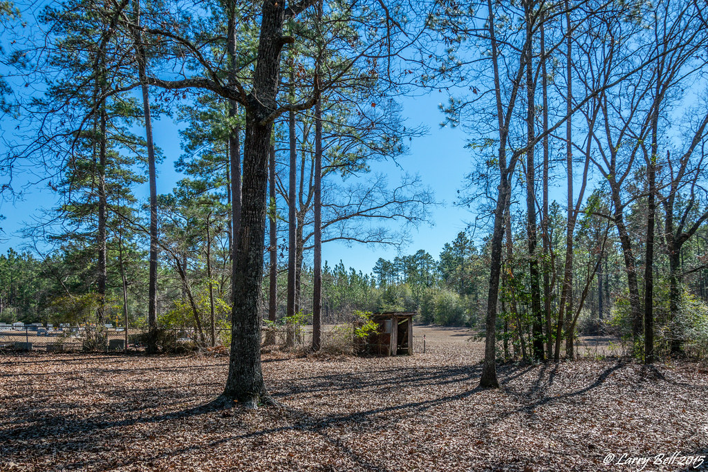
Uninhabited House

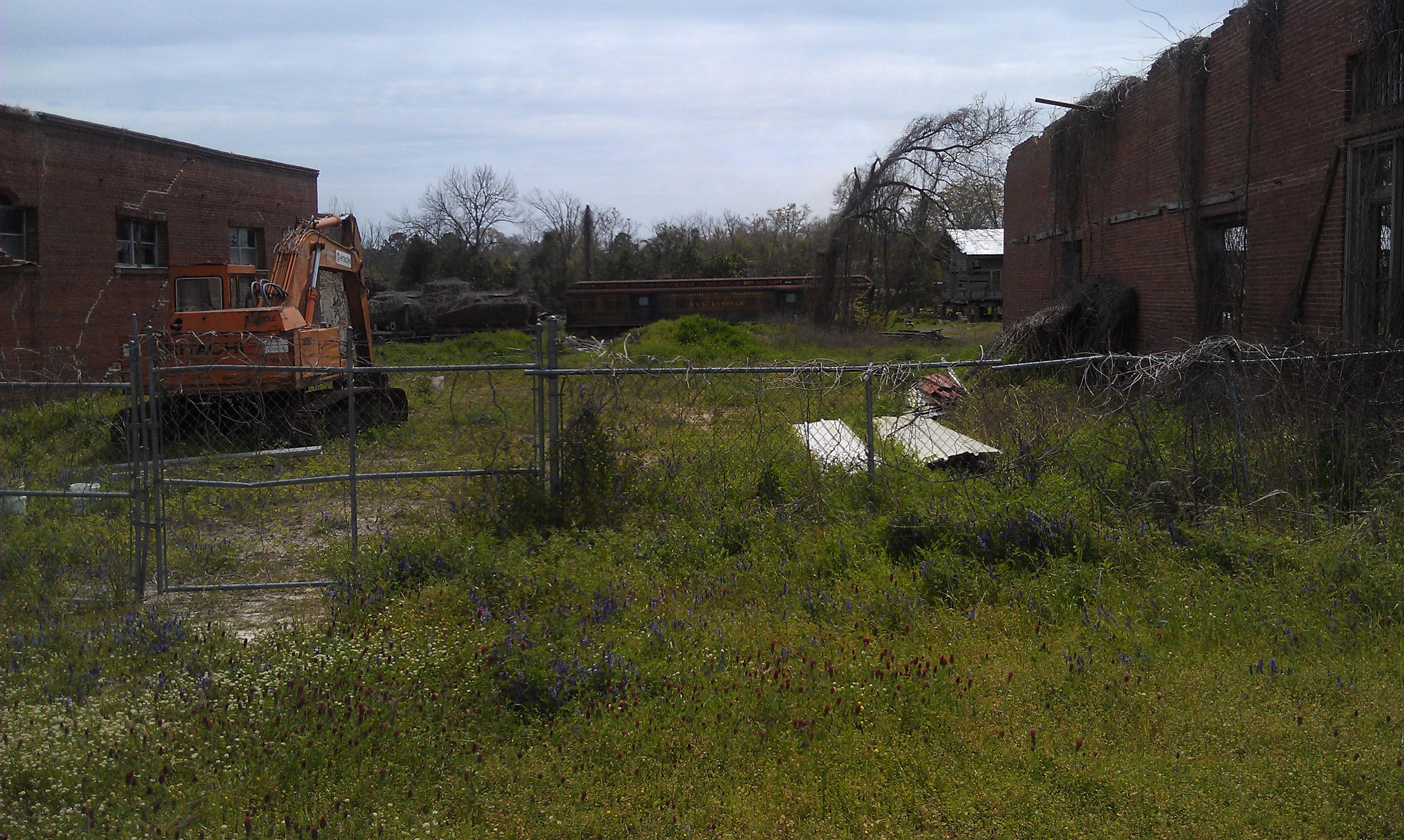
All Aboard
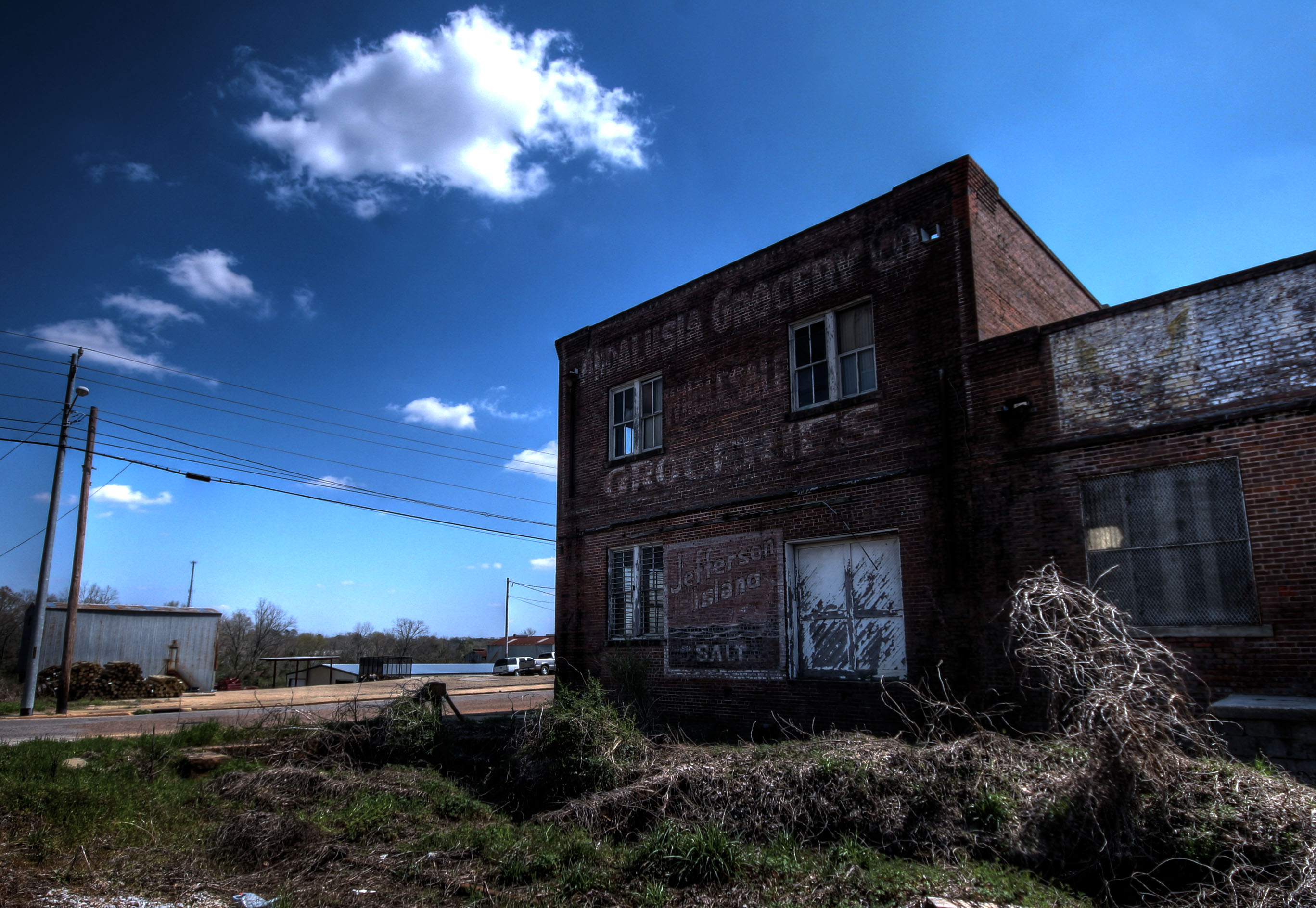
Main Street USA
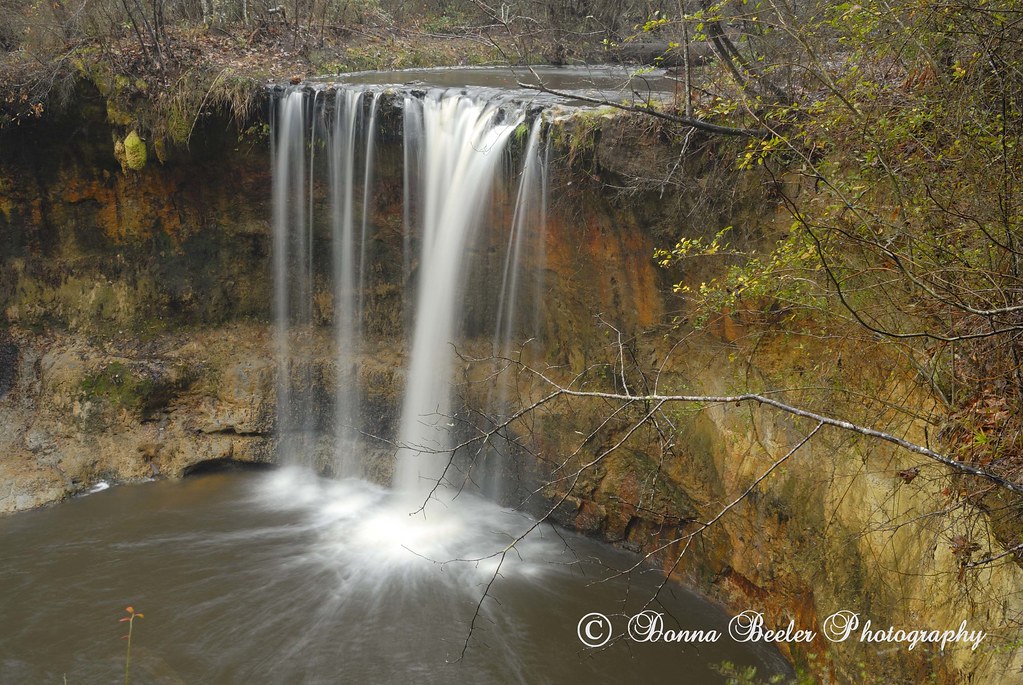
River Falls, River Falls, Alabama

Cotton Pan
DSC_0207.jpg
DSC_0193.jpg
DSC_0192.jpg

Three Sisters in Covington County, Alabama surrounded by a field of rye grass.
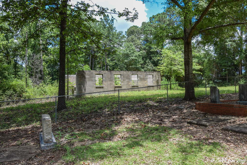
Central of Georgia Depot- Andalusia AL (3)
DSC_0172.jpg
DSC_0198.jpg
Topographic Map of Covington County, AL, USA
Find elevation by address:

Places in Covington County, AL, USA:
Places near Covington County, AL, USA:
622 Dunson St
1203 Prestwood Bridge Rd
512 Palmetto St
South 3 Notch Street
262 Crescent St
Andalusia
1802 Cedar Rd
1709 Cedar Rd
2130 Easley Dr
22326 Al-55
Railroad Ave, Andalusia, AL, USA
River Falls
29038 Twin View Ln
AL-12, Andalusia, AL, USA
Sanford
15050 Dunns Bridge Rd
19389 Enoch Road
16133 Co Rd 86
Loango Rd, Red Level, AL, USA
Red Level
Recent Searches:
- Elevation of Corso Fratelli Cairoli, 35, Macerata MC, Italy
- Elevation of Tallevast Rd, Sarasota, FL, USA
- Elevation of 4th St E, Sonoma, CA, USA
- Elevation of Black Hollow Rd, Pennsdale, PA, USA
- Elevation of Oakland Ave, Williamsport, PA, USA
- Elevation of Pedrógão Grande, Portugal
- Elevation of Klee Dr, Martinsburg, WV, USA
- Elevation of Via Roma, Pieranica CR, Italy
- Elevation of Tavkvetili Mountain, Georgia
- Elevation of Hartfords Bluff Cir, Mt Pleasant, SC, USA