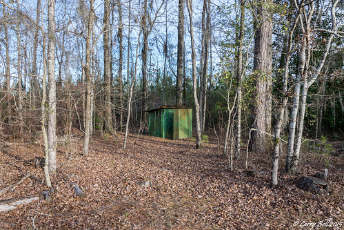
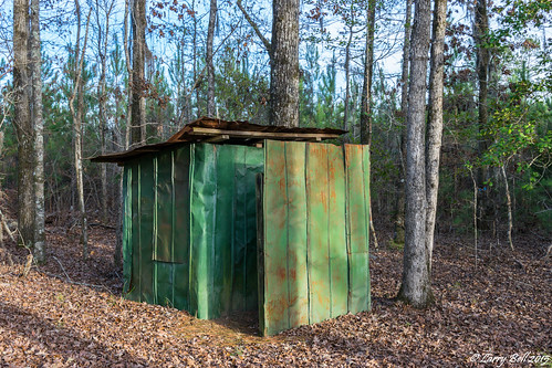
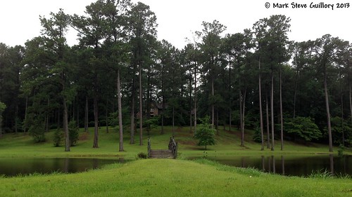
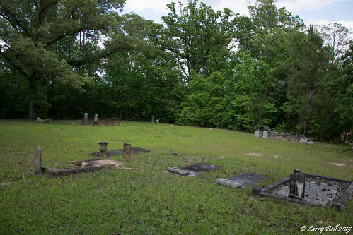
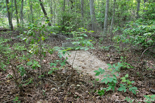
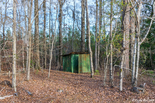
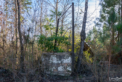
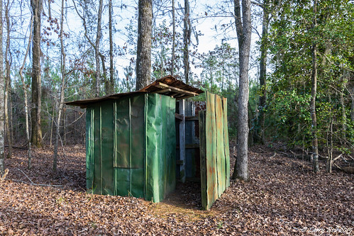
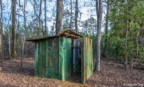
Elevation of Starlington Rd, Georgiana, AL, USA
Location: United States > Alabama > Butler County > Georgiana >
Longitude: -86.8230117
Latitude: 31.714567
Elevation: 114m / 374feet
Barometric Pressure: 0KPa
Related Photos:
Topographic Map of Starlington Rd, Georgiana, AL, USA
Find elevation by address:

Places near Starlington Rd, Georgiana, AL, USA:
Georgiana
Butler County
Pineapple Hwy, Greenville, AL, USA
AL-10, Pine Apple, AL, USA
2257 Co Rd 39
2257 Co Rd 39
2257 Co Rd 39
Waites Road
1743 Aztec Rd
S Garland Rd, McKenzie, AL, USA
Mckenzie
16380 Al-83
Pine Apple
Greenville
Co Hwy 29, Evergreen, AL, USA
145 Tombstone Ln
661 Montgomery Hwy
Conecuh County
2395 Airport Rd
Co Hwy 22, Evergreen, AL, USA
Recent Searches:
- Elevation of 107, Big Apple Road, East Palatka, Putnam County, Florida, 32131, USA
- Elevation of Jiezi, Chongzhou City, Sichuan, China
- Elevation of Chongzhou City, Sichuan, China
- Elevation of Huaiyuan, Chongzhou City, Sichuan, China
- Elevation of Qingxia, Chengdu, Sichuan, China
- Elevation of Corso Fratelli Cairoli, 35, Macerata MC, Italy
- Elevation of Tallevast Rd, Sarasota, FL, USA
- Elevation of 4th St E, Sonoma, CA, USA
- Elevation of Black Hollow Rd, Pennsdale, PA, USA
- Elevation of Oakland Ave, Williamsport, PA, USA
- Elevation of Pedrógão Grande, Portugal
- Elevation of Klee Dr, Martinsburg, WV, USA
- Elevation of Via Roma, Pieranica CR, Italy
- Elevation of Tavkvetili Mountain, Georgia
- Elevation of Hartfords Bluff Cir, Mt Pleasant, SC, USA
- Elevation of SW Barberry Dr, Beaverton, OR, USA
- Elevation of Old Ahsahka Grade, Ahsahka, ID, USA
- Elevation of State Hwy F, Pacific, MO, USA
- Elevation of Chemin de Bel air, Chem. de Bel air, Mougins, France
- Elevation of Cloverdale Dr, Bloomingdale, GA, USA
