Elevation of Bust Head Rd, The Plains, VA, USA

Location: United States > Virginia > Fauquier County > Scott > The Plains >

Longitude: -77.728684

Latitude: 38.901469

Elevation: 209m / 686feet

Barometric Pressure: 99KPa

Elevation Map:

elevation map of Bust Head Rd, The Plains, VA, USA

Satellite Map:

Satellite map of Bust Head Rd, The Plains, VA, USA

Related Photos:

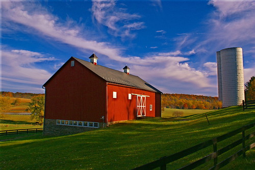
blackwellroad warrenton wachtmeister fauquier airlie explore farmsandfoodpec2018
Wachtmeister Farm
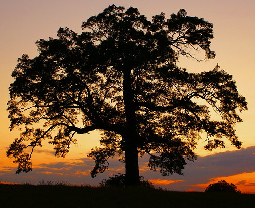
explore fauquier blantyre thoroughfaregap broadrunva pec10landscapes
Lone Tree in Summer
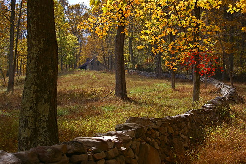
bullrunmountain stonecabin fauquier hopewell highmountainfarm middleburg explore farmsandfoodpec2013
High Mountain Farm
beverleymill mill gristmill virginia mills chapmansmill princewilliamcounty thoroughfaregap broadrun
Beverley Mill c1978 II,
sea monster dragon lego lands ambush sorcerer drakk roawia
Ocean Ambush - LoR GCXII "Extortion" Unrestricted
bullrunmountain theplains fauquiercounty 2ndbattleofmanassas thoroughfaregap motherleathercoatmountain highpointrocks landscapespec2011
High Point Rocks - Bull Run Mountain
sea monster dragon lego lands ambush sorcerer drakk roawia
Ocean Ambush - LoR GCXII "Extortion" Unrestricted
sea monster dragon lego lands ambush sorcerer drakk roawia
Ocean Ambush - LoR GCXII "Extortion" Unrestricted
bluevalleyvineyardandwinery fauquiercounty virginia usa winery
View from the Tasting Room
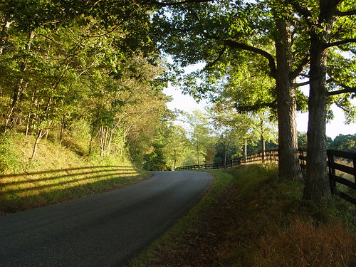
road sunset fence geotagged virginia geo:lat=3902306 geo:lon=7769333
DSC06808.JPG
i66westatthoroughfaregapva i66w roncogswell thoroughfaregapva thoroughfaregapbroadrunva fauquiercountyva
View West on I-66 at Thoroughfare Gap Broad Run (VA) March 2018
i66westatthoroughfaregapva i66w roncogswell thoroughfaregapva thoroughfaregapbroadrunva fauquiercountyva panorama
Panorama -- View West on I-66 at Toroughfare Gap Broad Run (VA) March 2018
i66atthoroughfaregapva thoroughfaregapva broadrunva beverleymillva chapmansmillva roncogswell
View West of I-66 at Thoroughfare Gap (VA) March 2018
washingtondc delaplaneva milkyway astrophotography sonya7rii galacticcore milkywaycore
Reaching for the Stars || Delaplane, VA
longexposure virginia goosecreek stonebridge civilwarera oneofmyfavoritelocalspots
Live in Dreams
rectortown fauquiercounty virginia unitedstates 1800s civilwar mosby mosbysrangers prison depot railroad
View of prison bars from the Civil War in the windows at Rectortown Depot
beverleymill chapmansmill virginia princewilliamcounty broadrun mill grist water thoroughfaregap
Patrick Nick & Gary at Beverly's Mill fall 1979
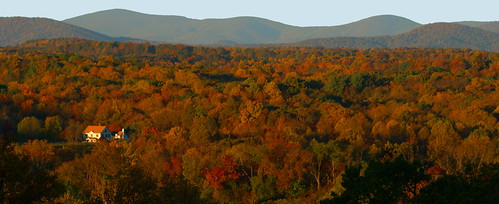
highacre halfway theplains halfwayva fauquier conservationeasement landscapespec2018
Autumn Piedmont
usa abandoned virginia september va 2014 loudouncounty lenah rt50 silowithtree
Silos with a tree growing out of one
Wegman’s
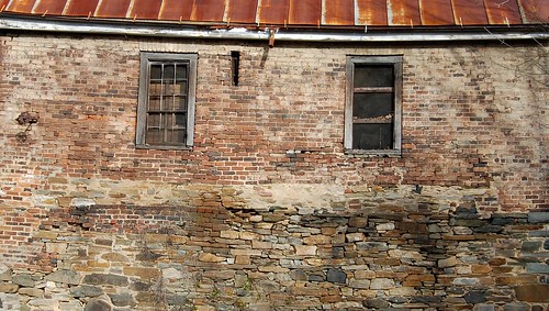
building brick mill stone architecture virginia metalroof edbrodzinsky
old mill
virginia fauquiercounty 2019gardentour merryoaks unitedstates landscape
Merry Oak Lake on Wildcat Mountain
fauquiercounty virginia aldie middleburg theplains unitedstates landscape landmark civilwar battleofbullrun
Clouds in the valley, near Bull Run Mountains
oakspring 2018stabletour upperville fauquiercounty virginia unitedstates mellon bunnymellon paulmellon bridge stone landscape
Stone Bridge across Goose Creek ("the Goose") at Oak Spring Farm, Upperville, VA
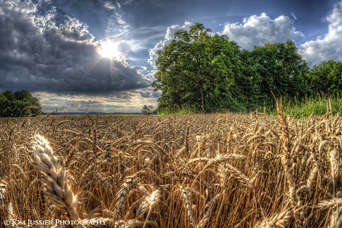
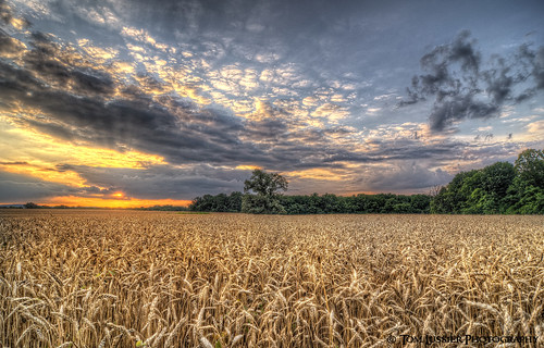
usa tree clouds landscape virginia nikon fisheye loudouncounty club16 tomlussier farmsandfoodpec2012 naturelandscapes2012
Amber Waves Afternoon ~ Explore ~
advertising stars virginia galaxy astrophotography silvermoon acura milkyway delaplane andrewrhodes acuramdx rosenthalacura 2014acuramdx jeweleyeheadlights andrewrhodesphotography 2015acuramdx
Dream Drive [EXPLORED]
square squareformat iphoneography instagramapp uploaded:by=instagram foursquare:venue=4e4ae6aad4c0ae552d7ba7e3
"This life is yours. Take the power to choose what you want to do and do it well. Take the power to love what you want in life and love it honestly. Take the power to walk in the forest and be a part of nature. Take the power to control your own life. No
sunset usa tree clouds landscape virginia nikon cloudscapes loudouncounty tomlussier farmsandfoodpec2012
Amber Waves Sunset
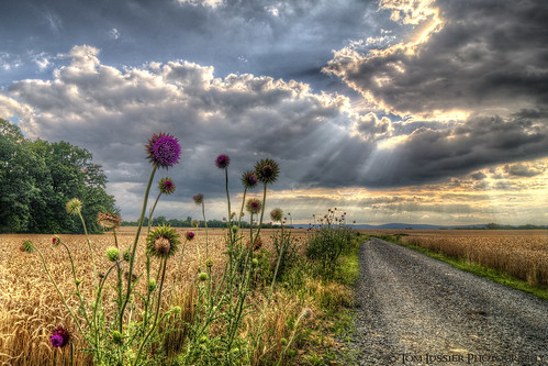
usa mountain storm flower clouds landscape virginia nikon cloudscapes loudouncounty tomlussier landscapespec2012
Road of Plenty (Thistle Road)
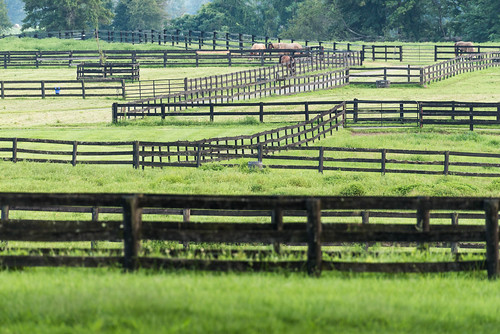
virginia horses uppervillevirginia fences summer
Fenced in.jpg
brmc fauquiercounty theplainsva rolandfarm drivehomefromworkseries landscapespec2015
Roland Farm Woods
i66 fauquiercounty virginia unitedstates landscape
Sunset on the autumn trees
Farm Lake-Hwy 17-Warenton VA 00980
virginia unitedstates goosecreek middleburg loudouncounty
Hay there! Foxcroft Road at Goose Creek, Middleburg, VA
road sunset usa mountain storm clouds landscape virginia nikon pastoral loudouncounty tomlussier landscapespec2012 naturelandscapes2012
Country Road Dreamin' ~ Explore ~
landscape kinsleymill plantation antebellum unitedstates virginia princewilliamcounty buckland
Lake Manassas from back porch of miller's house at Kinsley Mill
ABOVE RECTORTOWN VA (EXPLORED 10/27/18)
animal virginia unitedstates plantation theplains fauquiercounty olddenton zulla
A jump .... Young Road, The Plains, VA
N&W 611 At The Plains
morning usa barn fence virginia july stonewall 2014 fauquiercounty barbaraamende barbaraaamende barbaraanneamende squirregirl
HFF 13
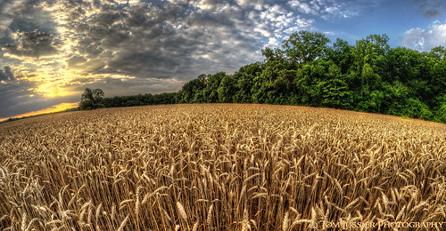
sunset usa tree clouds landscape virginia nikon fisheye pastoral loudouncounty tomlussier farmsandfoodpec2013
Sea of Grain Sunset