Elevation of Bull Run Mountain Rd, The Plains, VA, USA

Location: United States > Virginia > Fauquier County > Scott > The Plains >

Longitude: -77.700739

Latitude: 38.8703063

Elevation: 321m / 1053feet

Barometric Pressure: 98KPa

Elevation Map:

elevation map of Bull Run Mountain Rd, The Plains, VA, USA

Satellite Map:

Satellite map of Bull Run Mountain Rd, The Plains, VA, USA

Related Photos:

lakebrittle fauquier newbaltimore explore wonderfulwaterspec2020
Lake Brittle
blackwellroad warrenton wachtmeister fauquier airlie explore farmsandfoodpec2018
Wachtmeister Farm
beverleymill chapmansmill virginia mill gristmill princewilliamcounty thoroughfaregap broadrun
Beverley Mill c 1970 002
beverleymill mill gristmill virginia mills chapmansmill princewilliamcounty thoroughfaregap broadrun
Beverley Mill c1978 01
rectortown fauquiercounty virginia unitedstates 1800s civilwar mosby mosbysrangers prison depot railroad
View of prison bars from the Civil War in the windows at Rectortown Depot
explore fauquier blantyre thoroughfaregap broadrunva pec10landscapes
Lone Tree in Summer
bullrunmountain stonecabin fauquier hopewell highmountainfarm middleburg explore farmsandfoodpec2013
High Mountain Farm
beverleymill chapmansmill virginia gristmill mill
Beverley Mill 1974
park door wood building home architecture virginia historic va porch aged frontporch bullrun northernvirginia henryhouse americancivilwar manassasnationalbattlefieldpark
Historic Henry House Manassas National Battlefield
highacre halfway theplains halfwayva fauquier conservationeasement landscapespec2018
Autumn Piedmont
building brick mill stone architecture virginia metalroof edbrodzinsky
old mill
trees mist tree green nature fog forest virginia spring farm foggy vivid wideangle tokina1224 evergreen civilwar manassas battlefield foggymorning d300 manassasbattlefield civilwarmemorial manassasbattlefieldpark
Trees In The Mist I
sky sun clouds us venus unitedstates celestialevent sunvenustransit venustransit2012 2012celestialevent
Venus Transit 2012
sky sun clouds us venus unitedstates celestialevent sunvenustransit venustransit2012 2012celestialevent
Venus Transit 2012
from park usa army virginia us war day view cloudy hill union run bull confederate henry civil national american va cannon manassas battlefield matthews 5photosaday worldtrekker ilobsterit
Manassas National Battlefield Park Cannon on Matthews Hill
morning trees bw mist tree nature monochrome fog blackwhite tokina1224 manassas battlefield d300 manassasbattlefieldpark diamondclassphotographer flickrdiamond theunforgettablepictures
Whiteout.
usa virginia winery chrysalisvineyardsattheagdistrict loudouncounty bottles rubiana blueridgedistrict
Wines for Tasting
house virginia decay gingerbread va porch haymarket princewilliamcounty
Front View
usa butterfly insect virginia va commonwoodnymph princewilliamcounty cercyonispegala cercyonis manassasnationalbattlefieldpark taxonomy:binomial=cercyonispegala taxonomy:common=commonwoodnymph
Common Wood-Nymph, Virginia
longexposure virginia goosecreek stonebridge civilwarera oneofmyfavoritelocalspots
Live in Dreams
Double window views
virginia fauquiercounty 2019gardentour merryoaks unitedstates landscape
Merry Oak Lake on Wildcat Mountain
fauquiercounty virginia aldie middleburg theplains unitedstates landscape landmark civilwar battleofbullrun
Clouds in the valley, near Bull Run Mountains
wood trees house abandoned nature virginia us vines woods fuji unitedstates va fujifilm bullrun abandonado theplains broadrun x100s
Abandoned House
usa tree clouds landscape virginia nikon fisheye loudouncounty club16 tomlussier farmsandfoodpec2012 naturelandscapes2012
Amber Waves Afternoon ~ Explore ~
ABOVE RECTORTOWN VA (EXPLORED 10/27/18)
sunset usa tree clouds landscape virginia nikon fisheye pastoral loudouncounty tomlussier farmsandfoodpec2013
Sea of Grain Sunset
usa virginia pond august va urgentcare 2014 loudouncounty squirrelgirl stonespring gumspringsroad emergencycenter barbaraamende barbaraaamende barbaraanneamende
Early hint of autumn
usa mountain storm flower clouds landscape virginia nikon cloudscapes loudouncounty tomlussier landscapespec2012
Road of Plenty (Thistle Road)
trees wallpaper tree landscape geotagged ir arbol træ boom civilwar árbol infrared 木 风景 albero tre puu arbre árvore strom baum träd 树 infravermelho 壁纸 ツリー 樹 r72 copac infrarot 红外 дерево drzewo 나무 شجرة stablo infrarrojos 赤外線 红外线 infrapuna infrarood infrarouge дърво batteryheights geo:tool=gmif infrarossi secondbattleofmanassas geo:lat=38812426 geo:lon=77555494 δέντρο 紅外線 инфракрасный inframerah אינפראאדום 紅外 पेड़ वृक्ष zexplored पेड infravörös 樹樹 infračervené 적외선 υπερύθρων अवरक्त 적외선의 柅 柂
Tree at Battery Heights
animal virginia unitedstates theplains fauquiercounty olddenton zulla
It's off to the races!
way landscape virginia unitedstates great meadow astrophotography astronomy plains milky milkyway the theplains greatmeadow
Polluted Sky
rolandfarm theplainsva brmc fauquiercounty drivehomefromworkseries landscapespec2020
Roland Farm Woods
animal virginia unitedstates plantation theplains fauquiercounty olddenton zulla
It's off to the races!
virginia burnside landscape summer sunflowers
I Am Unique
i66 fauquiercounty virginia unitedstates landscape
Sunset on the autumn trees
virginia unitedstates goosecreek middleburg loudouncounty
Hay there! Foxcroft Road at Goose Creek, Middleburg, VA
Farm Lake-Hwy 17-Warenton VA 00980
road sunset usa mountain storm clouds landscape virginia nikon pastoral loudouncounty tomlussier landscapespec2012 naturelandscapes2012
Country Road Dreamin' ~ Explore ~
park winter usa mountains america virginia us unitedstates run bull american va broad parc icicles conservancy broadrun
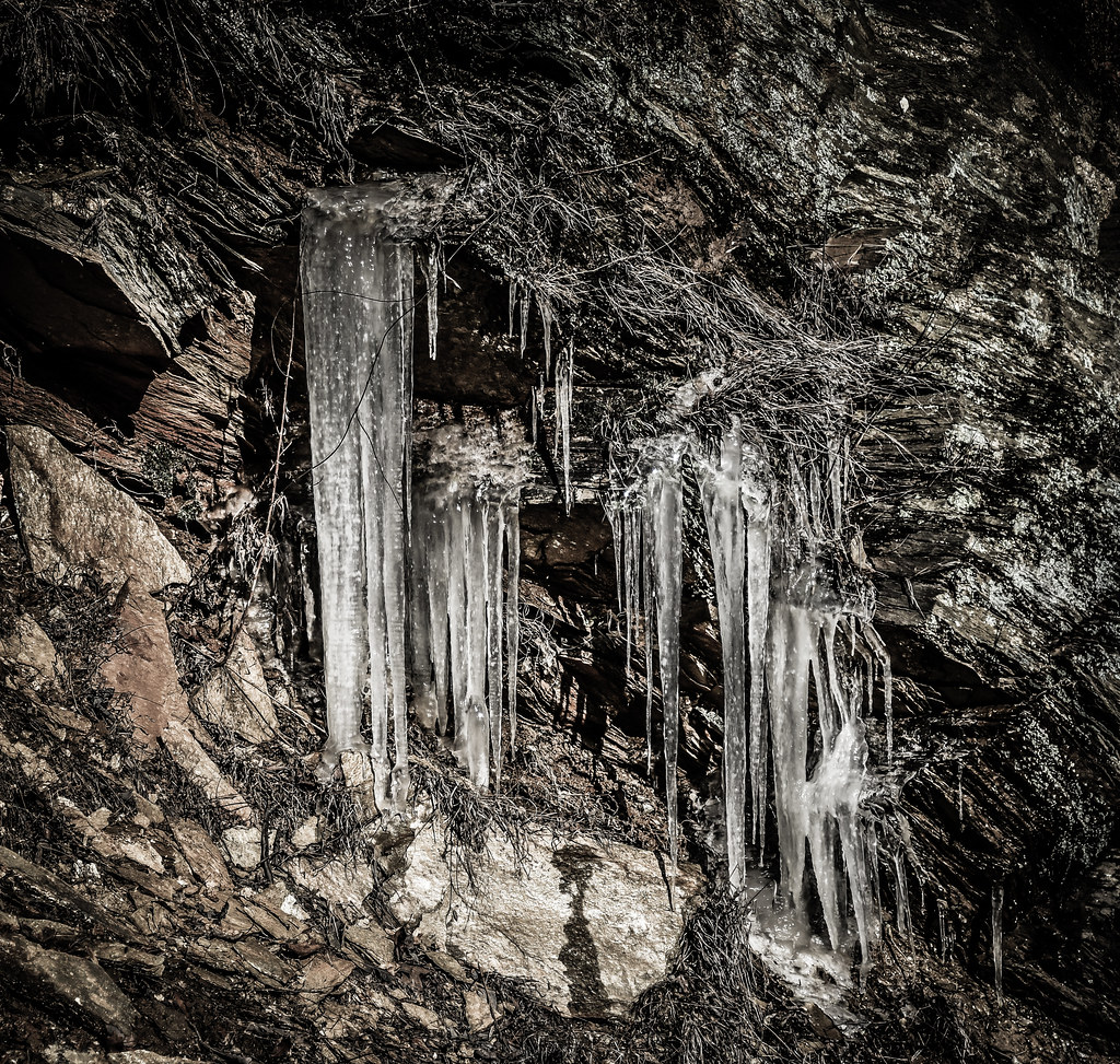
Winter Icicles at Bull Run Mountains Conservancy Park - Broad Run VA
landscape kinsleymill plantation antebellum unitedstates virginia princewilliamcounty buckland
Lake Manassas from back porch of miller's house at Kinsley Mill