Elevation of Scotts Rd, Marshall, VA, USA
Location: United States > Virginia > Fauquier County > Marshall > Marshall >
Longitude: -77.863905
Latitude: 38.8516009
Elevation: 207m / 679feet
Barometric Pressure: 99KPa
Elevation Map:
Satellite Map:
Related Photos:

Reaching for the Stars || Delaplane, VA

Wachtmeister Farm

End of Night at Hazel Mountain Overlook
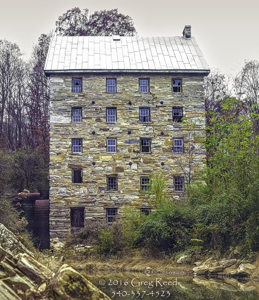
Beverley Mill c1978 01

High Mountain Farm
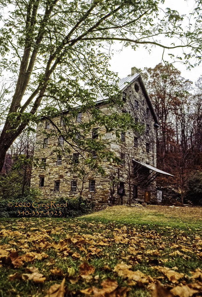
Beverley Mill 1974

Autumn Piedmont

High Point Rocks - Bull Run Mountain

Glendale, circa 1894, Markham, VA

Clifton, circa 1858, Markham, VA

Clermont, circa 1870, Hume Road, Hume, VA

Clermont, circa 1870, Hume Road, Hume, VA

Chapmans Mill Store Window

Tucquan Glen Nature Preserve in Lancaster County, Pa.

75th International Gold Cup

Live in Dreams

Beverley Mill c 1970 002

View of prison bars from the Civil War in the windows at Rectortown Depot

View along the driveway at Seaton Place

Lone Tree in Summer

The Hill at Three Fox

Beverley Mill (ruins), circa 1759

Abandoned House
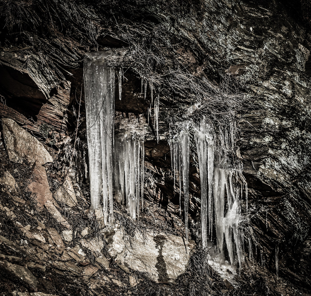
Winter Icicles at Bull Run Mountains Conservancy Park - Broad Run VA
ABOVE RECTORTOWN VA (EXPLORED 10/27/18)

three foxes and a hill

Tree in the Bull Run Mountains Conservancy Park - Broad Run VA

Winter Icicles at Bull Run Mountains Conservancy Park - Broad Run VA

Roland Farm Woods

Day 45 - winery

Roo's Corner

End of Winter

Merry Oak Lake on Wildcat Mountain

Pond at Seaton Place (1)

Sunset on the autumn trees

Pond at Seaton Place (2)

Backyard of Seaton Place

Farm Lake-Hwy 17-Warenton VA 00980

Stone Bridge across Goose Creek ("the Goose") at Oak Spring Farm, Upperville, VA
Topographic Map of Scotts Rd, Marshall, VA, USA
Find elevation by address:

Places near Scotts Rd, Marshall, VA, USA:
Marshall
E Main St, Marshall, VA, USA
4015 Grove Ln
Barrel Oak Winery
Blue Valley Vineyard And Winery
Ashville Rd, Marshall, VA, USA
3661 Double J Ln
Miracle Valley Vineyard
3073 Rectortown Rd
Double J Lane
Rectortown Rd, Marshall, VA, USA
2711 5 Points Rd
9565 Briar Ln
Delaplane
4439 Old Tavern Rd
Three Fox Vineyards
The Plains
Scott
Rdv Vineyards
2550 Delaplane Grade Rd
Recent Searches:
- Elevation of Corso Fratelli Cairoli, 35, Macerata MC, Italy
- Elevation of Tallevast Rd, Sarasota, FL, USA
- Elevation of 4th St E, Sonoma, CA, USA
- Elevation of Black Hollow Rd, Pennsdale, PA, USA
- Elevation of Oakland Ave, Williamsport, PA, USA
- Elevation of Pedrógão Grande, Portugal
- Elevation of Klee Dr, Martinsburg, WV, USA
- Elevation of Via Roma, Pieranica CR, Italy
- Elevation of Tavkvetili Mountain, Georgia
- Elevation of Hartfords Bluff Cir, Mt Pleasant, SC, USA