Elevation of Burlingate Pl, Burlington, NC, USA
Location: United States > North Carolina > Alamance County > 3, Boone Station > Burlington >
Longitude: -79.456304
Latitude: 36.100242
Elevation: 197m / 646feet
Barometric Pressure: 99KPa
Elevation Map:
Satellite Map:
Related Photos:
Black+White View

Night view of the deck

Floor view of my Christmas Tree
Night view of the deck

Floor view of my Christmas Tree
View from the Garage
The View From My Window
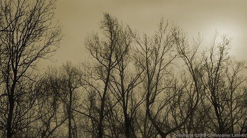
Silhouetted Trees in Fog
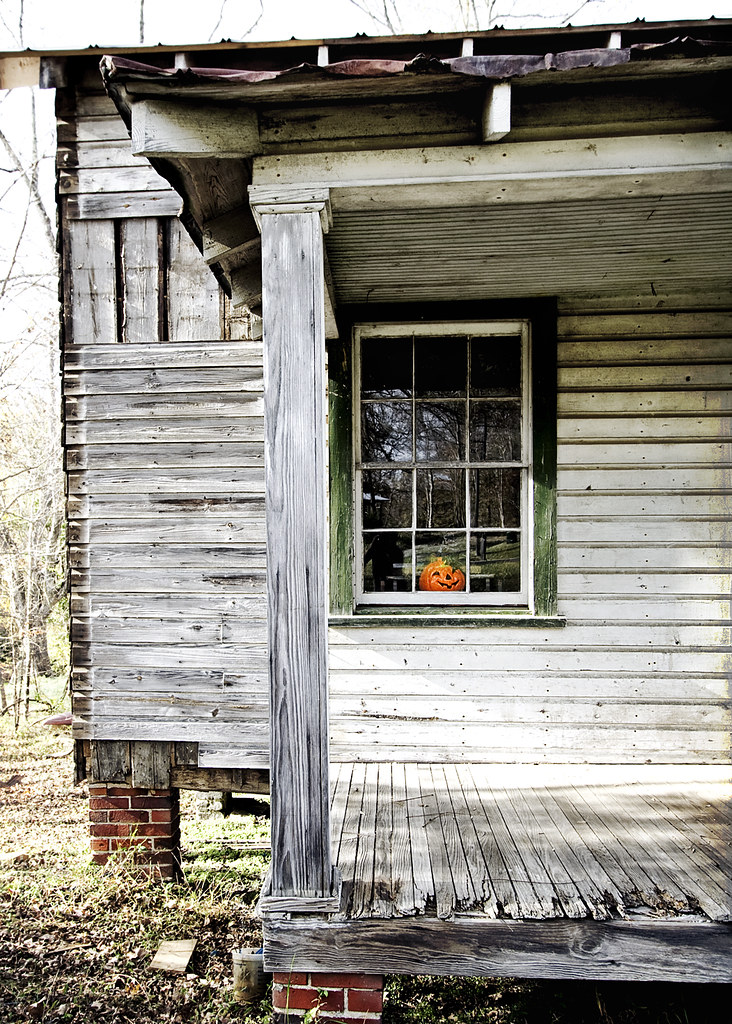
October 31, 2010
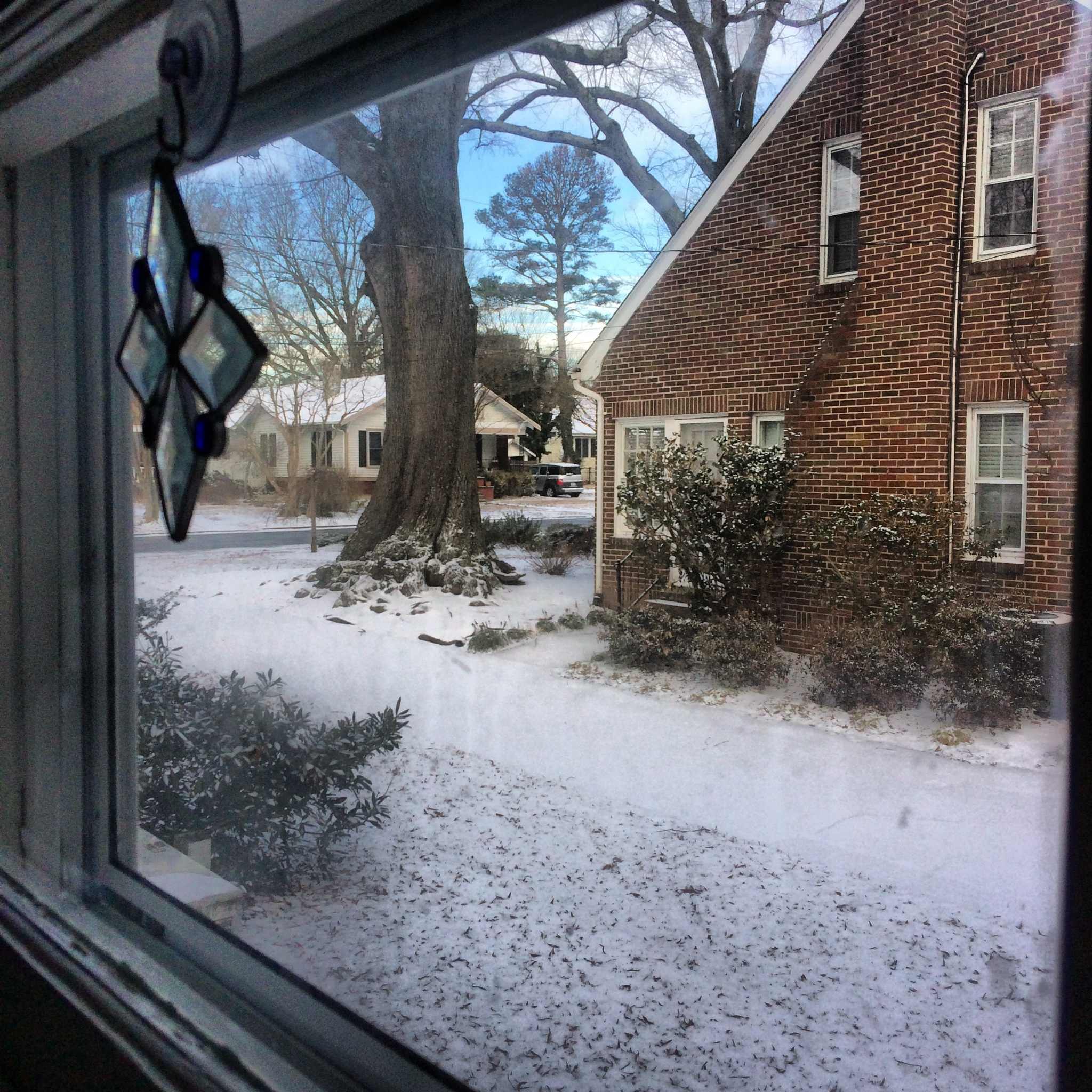
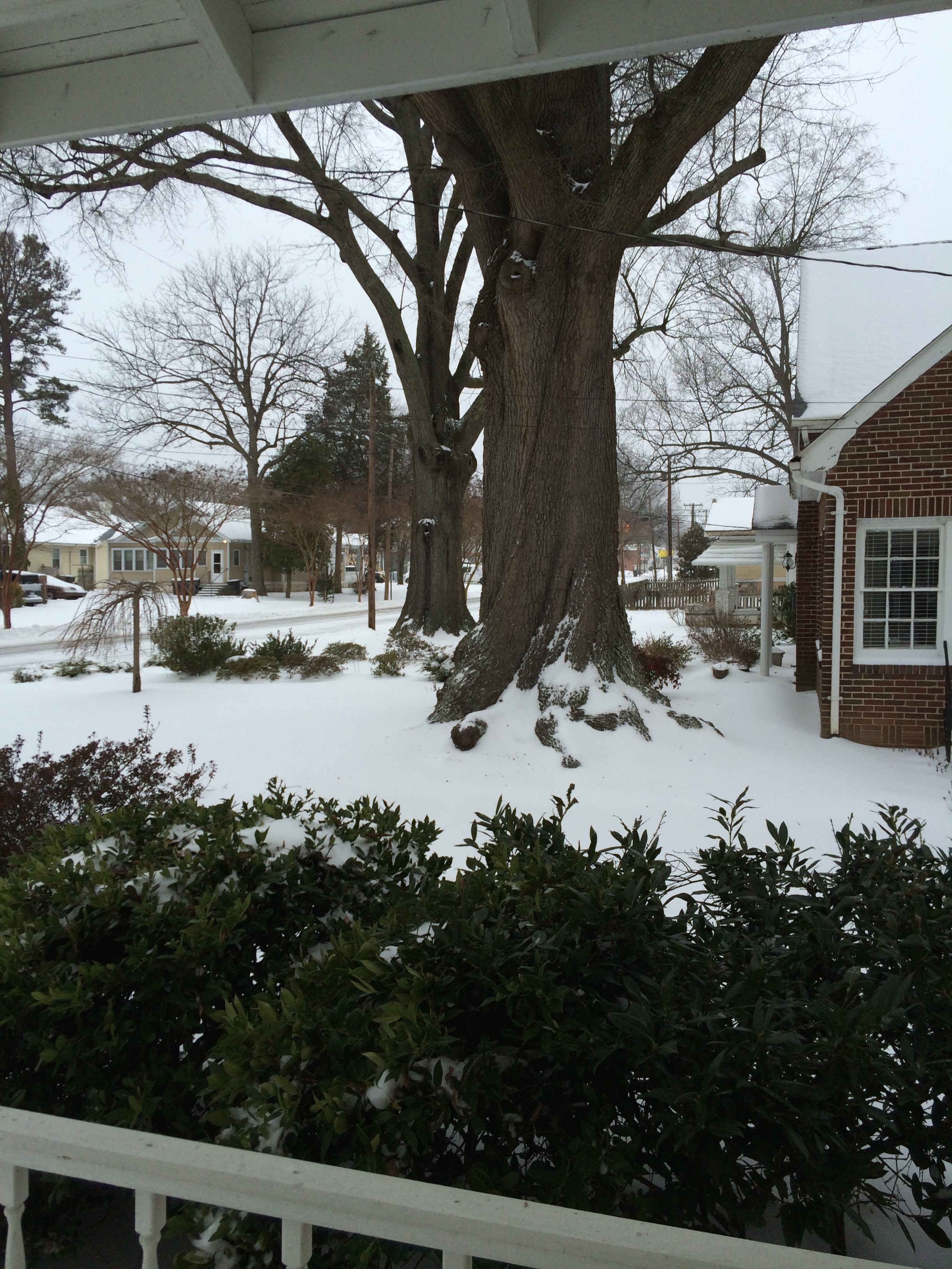
View out of my kitchen Window

Quickly becoming My Favorite View
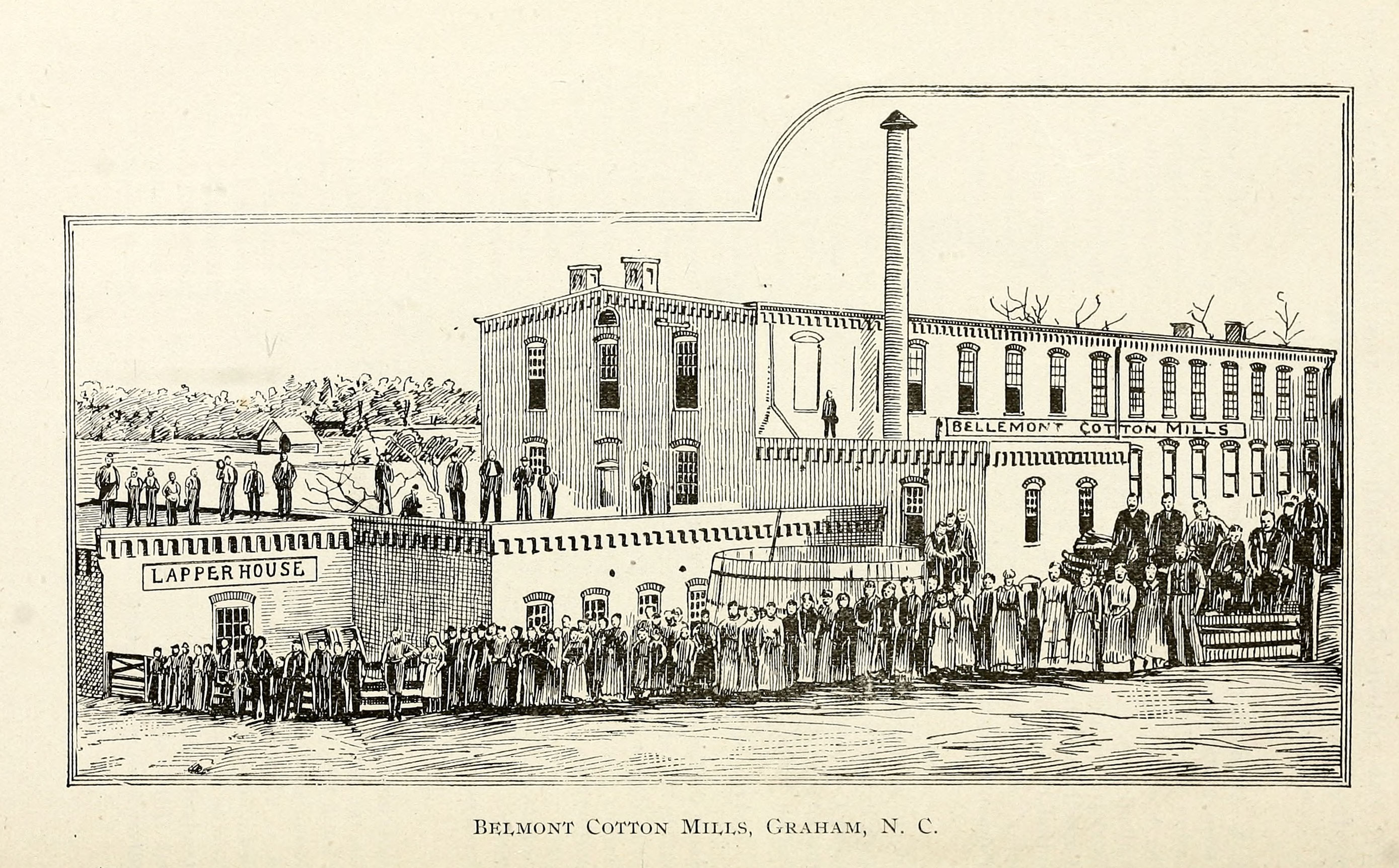
Belmont Cotton Mills, Graham, NC
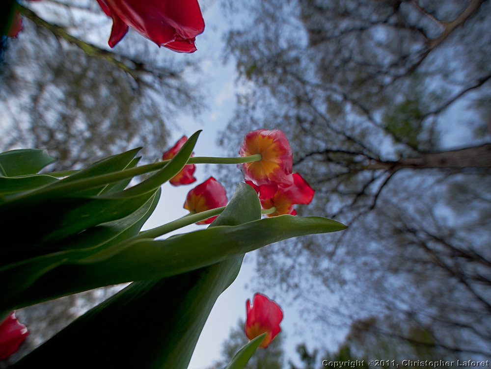
Tulips from Below
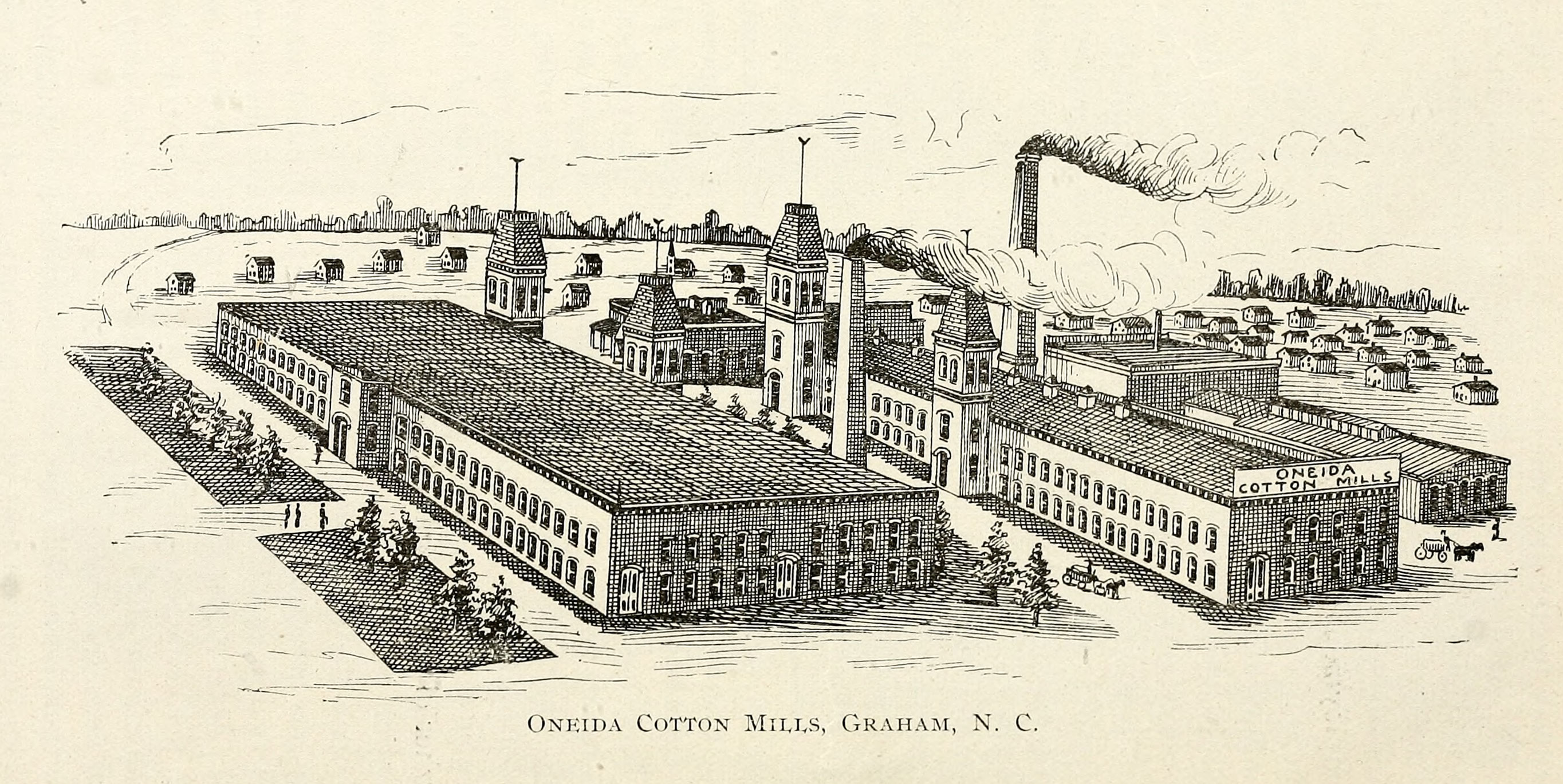
Oneida Cotton Mills, Graham, NC
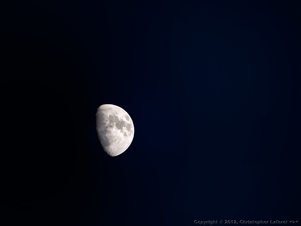
Half Moon

Tilt Shift Bedroom View
Old Barn Off US-70W #2
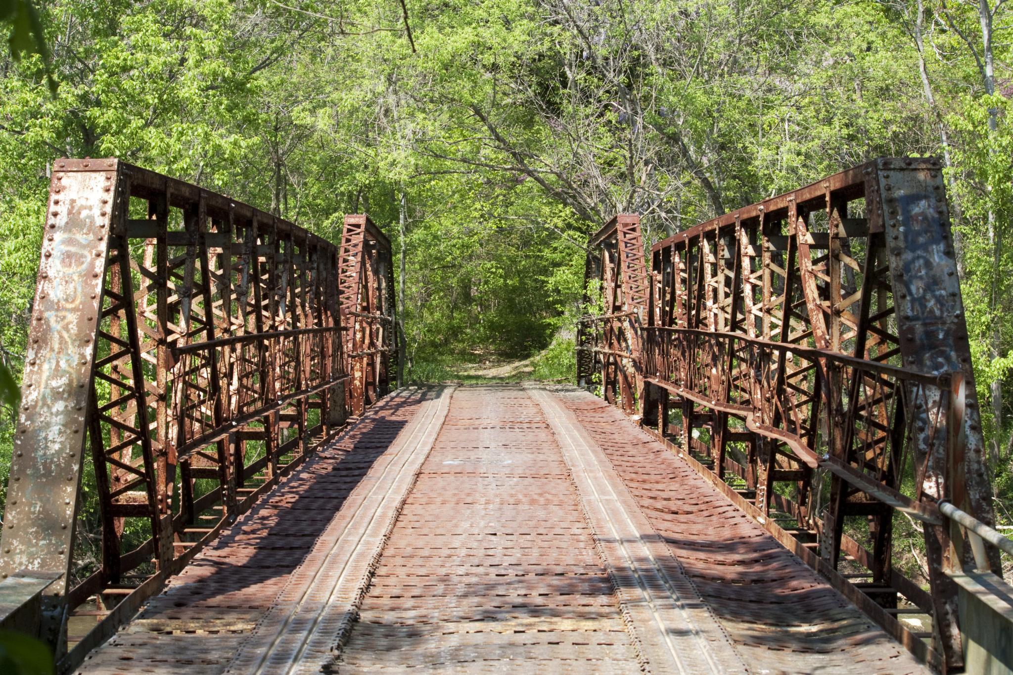
Sellars Mill Road Bridge, portal view

Rear view Reflection
Morning view
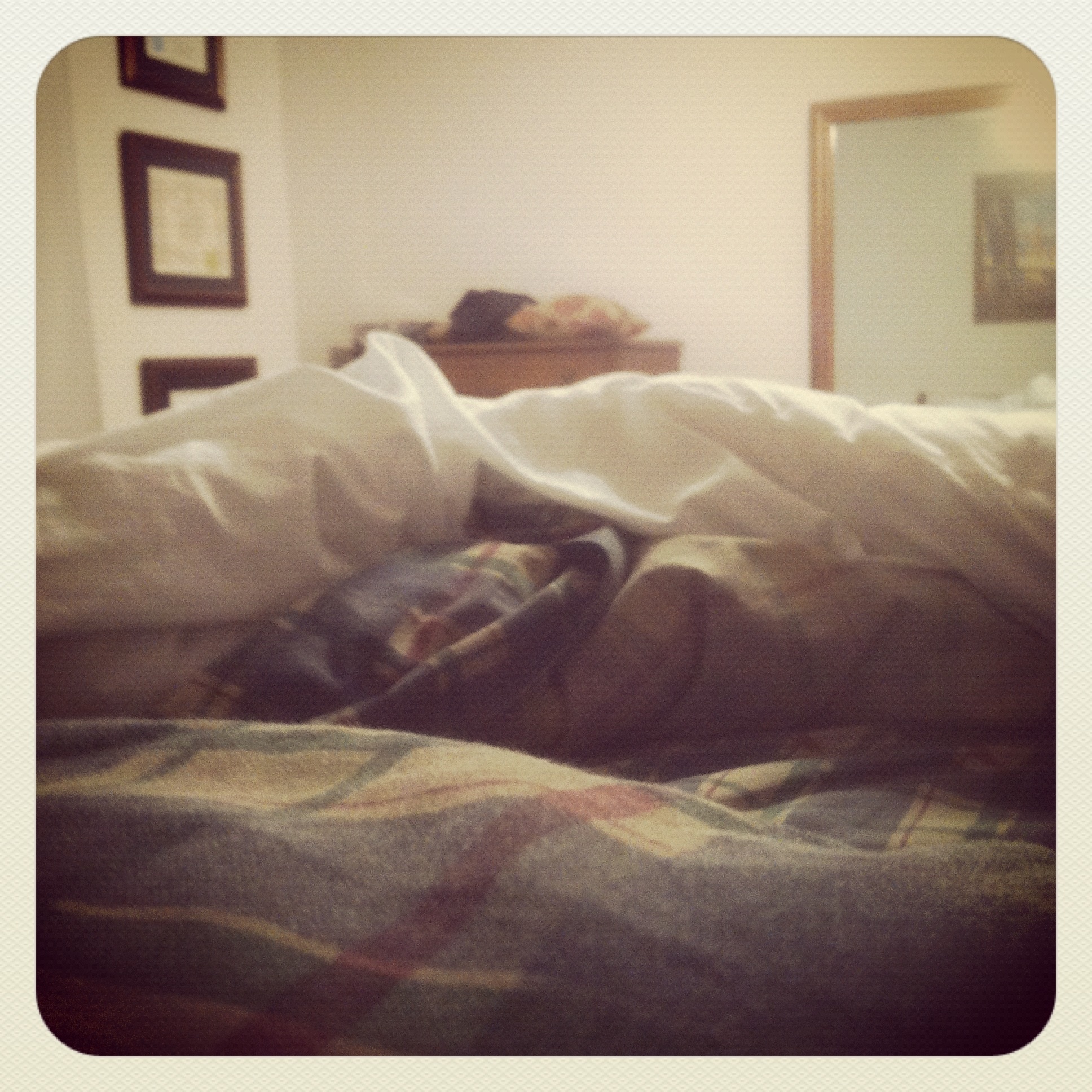
Where You Slept - Bed's eye view
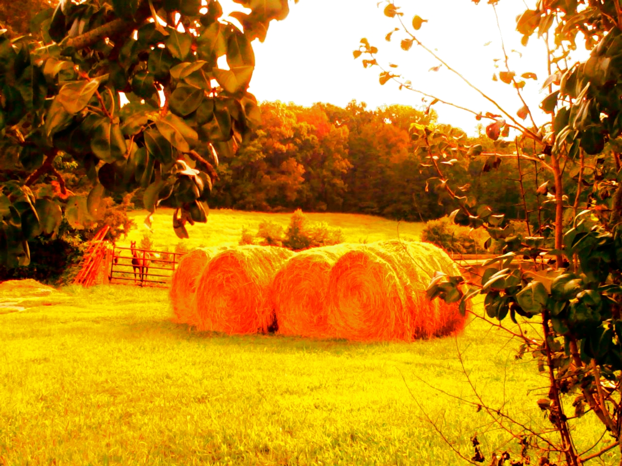
~ Winter Fodder ~
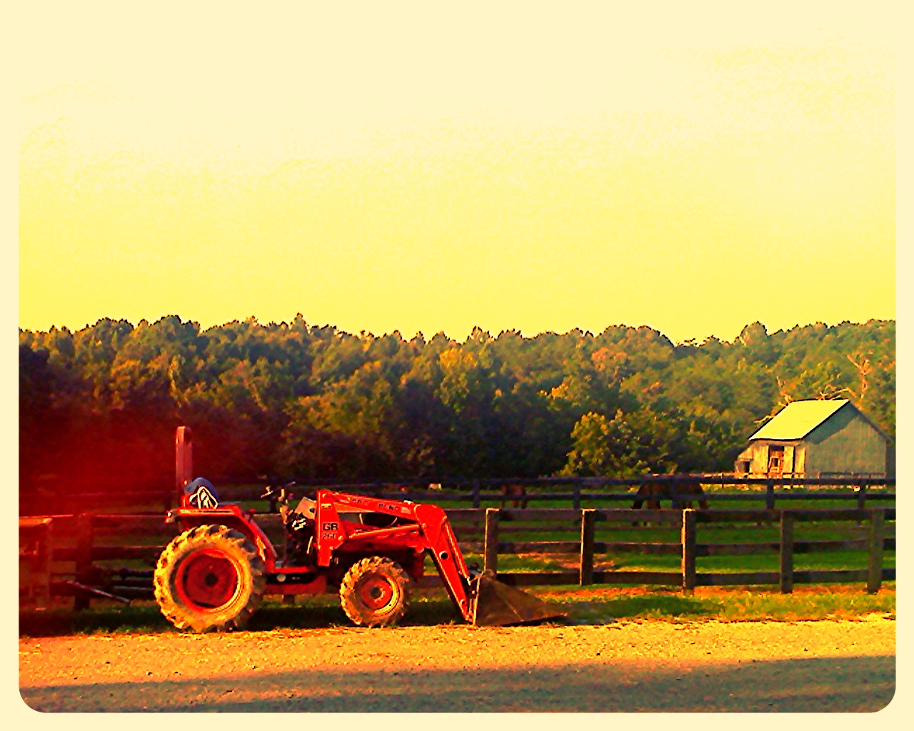
~ Ain't My Tractor Sexy?? ~

~ Summer Clouds in NC ~
_MG_9676-2
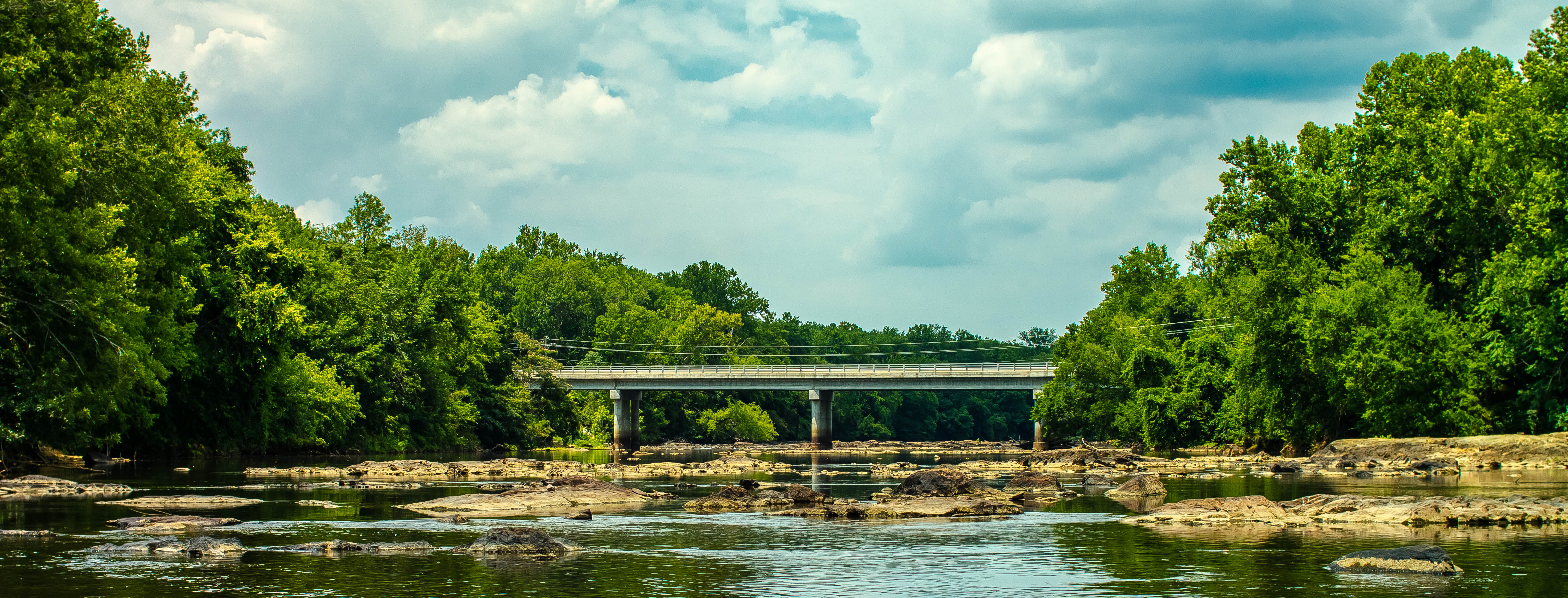
Shallow Ford #snapseed #formulasapp #mextures #ncnature #iphoneography #shallowford #hawriver #shallowfordtrails
phone dump
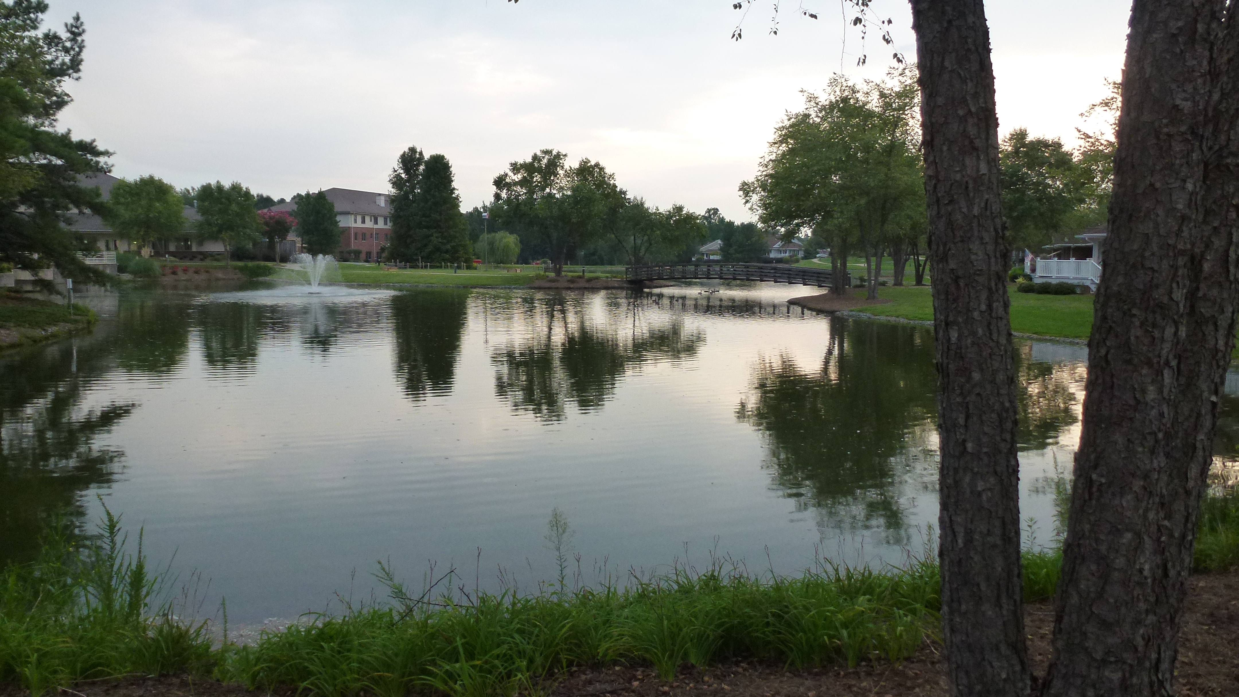
Still waters run still
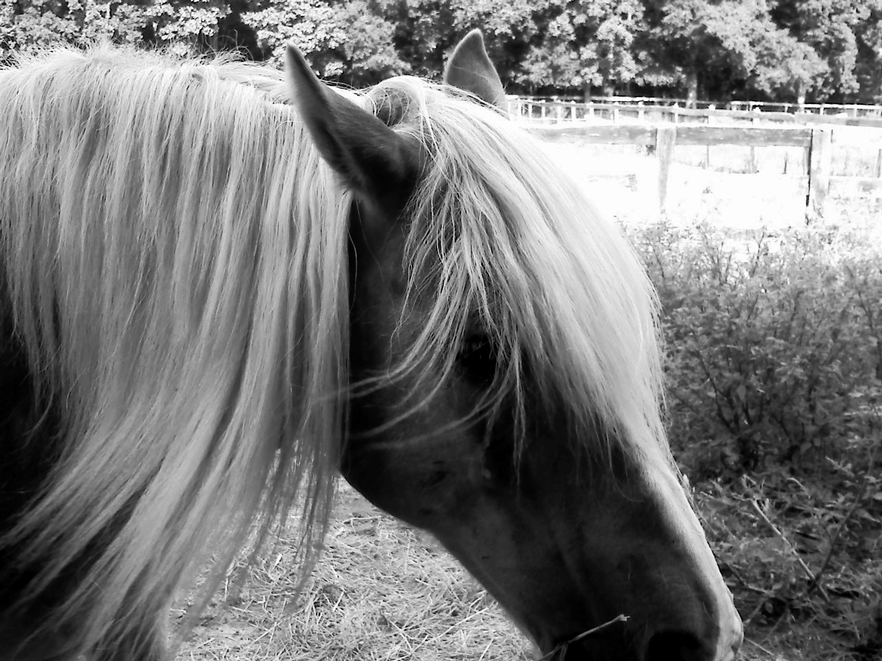
~ A Sunday Afternoon with Skipper, the Haflinger ~
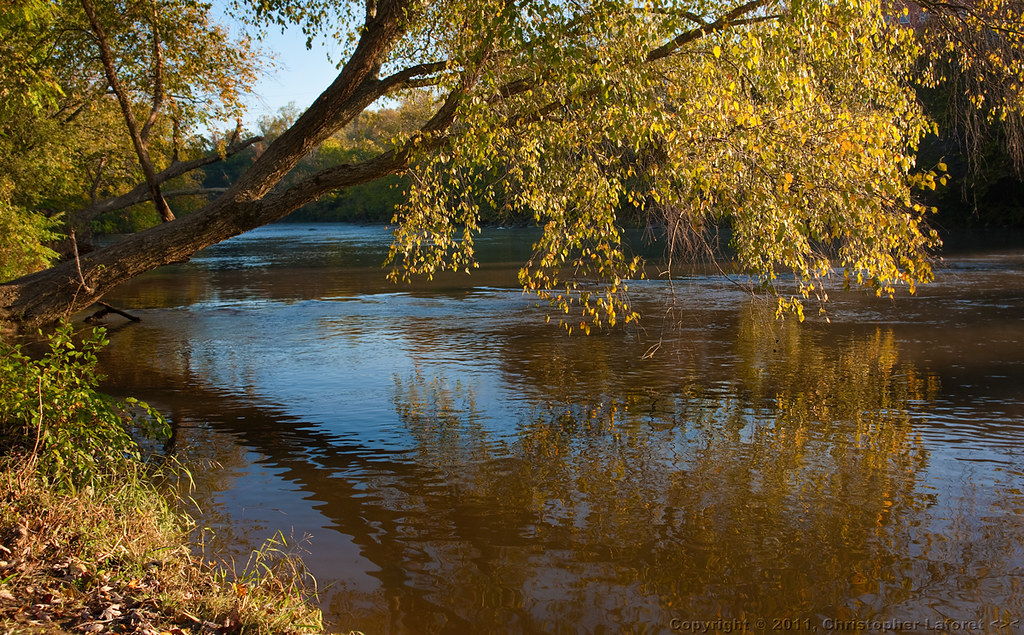
Rivers and Roads
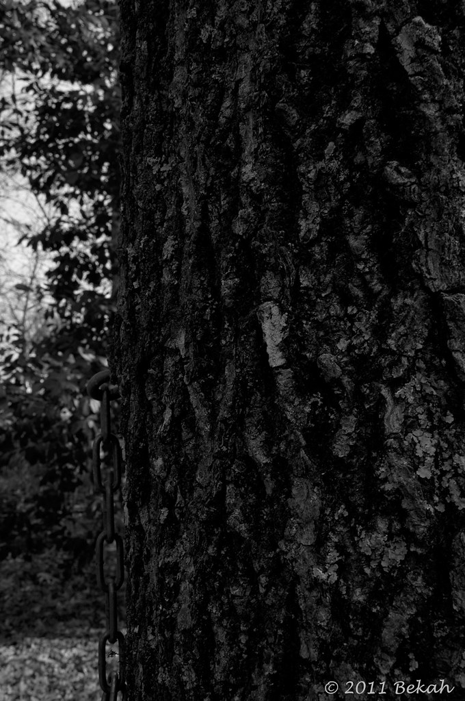
Tree B&W
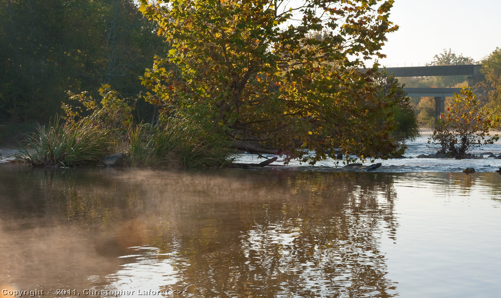
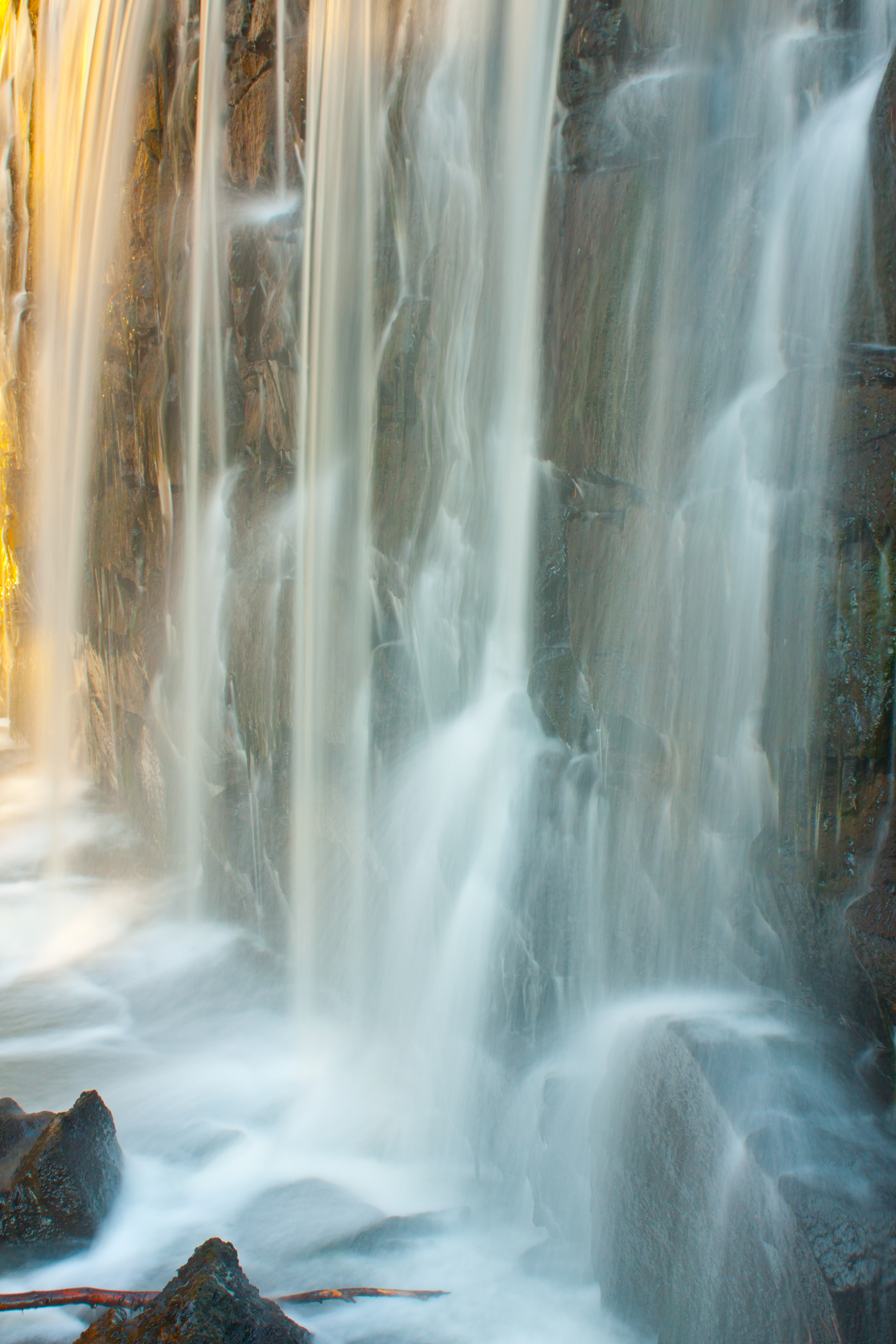
Mist and Rapids on Haw River #2
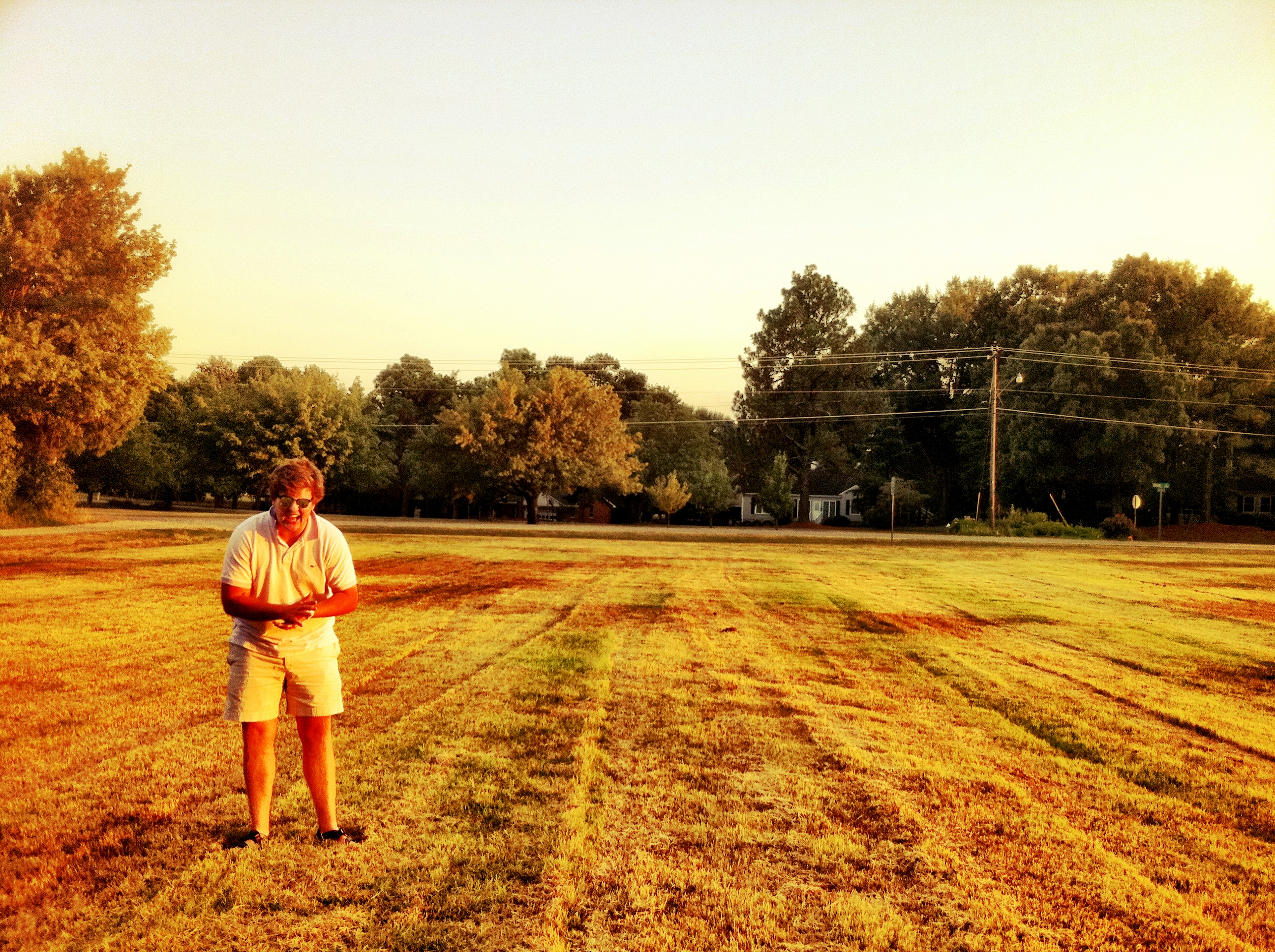
Laughin'

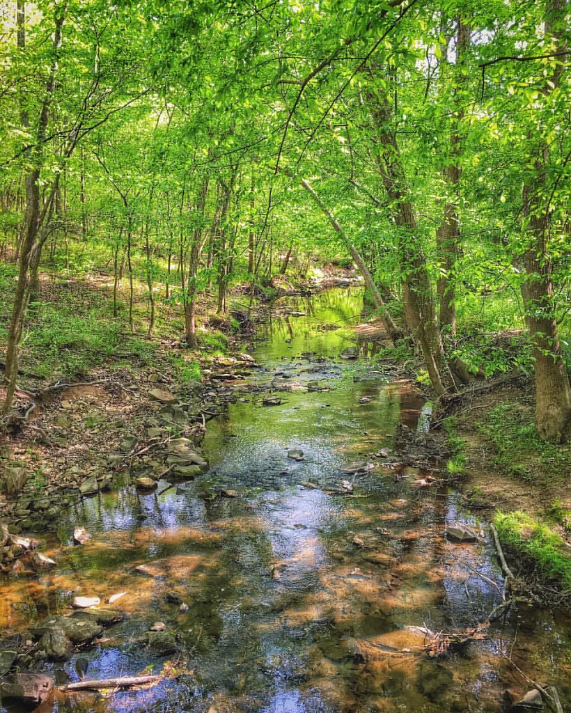
Duckweed in Little Alamance Creek

Mountains to Sea Trail Building

Elon, NC Landscape

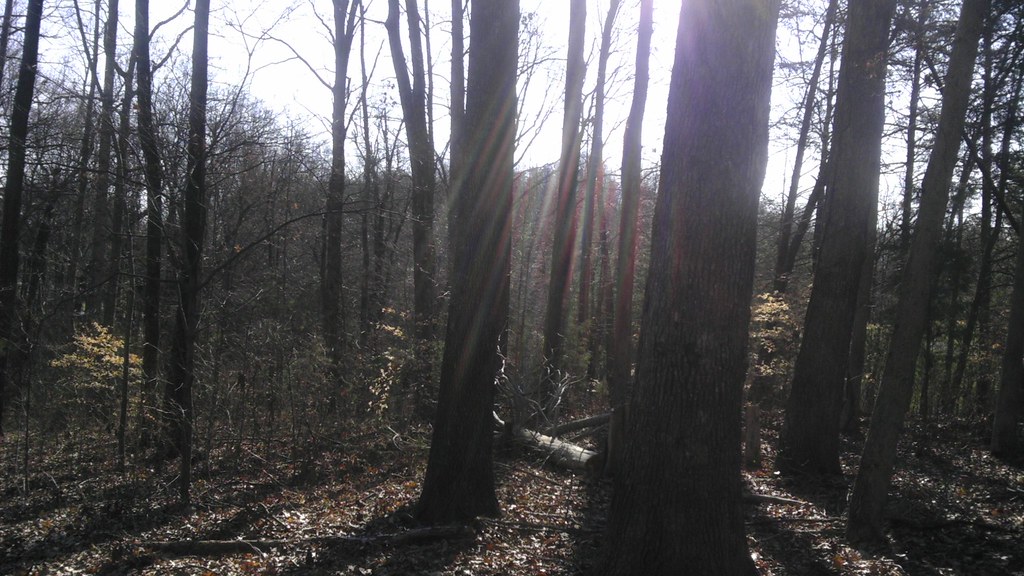
Pine shadows
Horizontal Tree Reflected

Waiting in Line
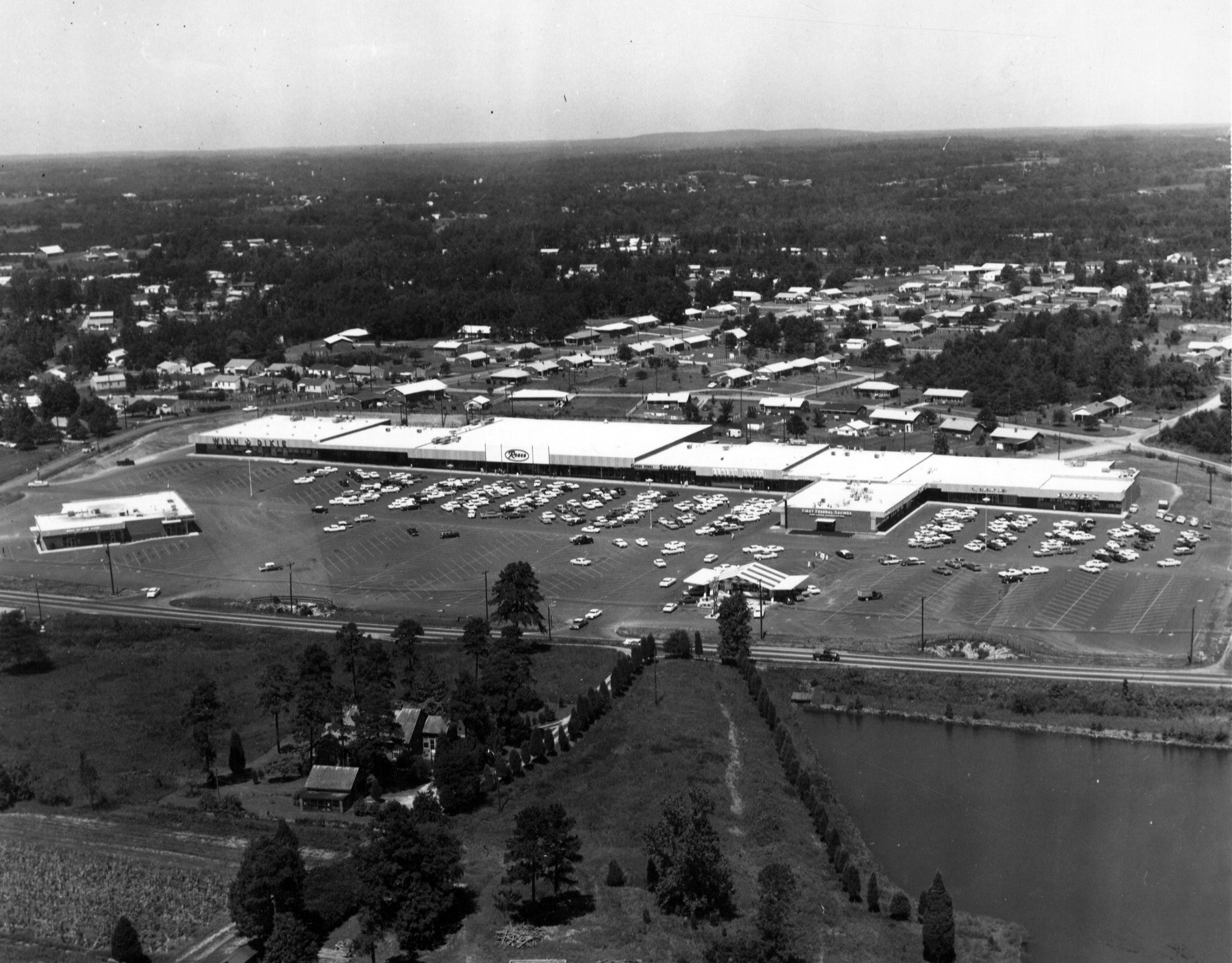
biff burger cum park plaza burlington NC 1963
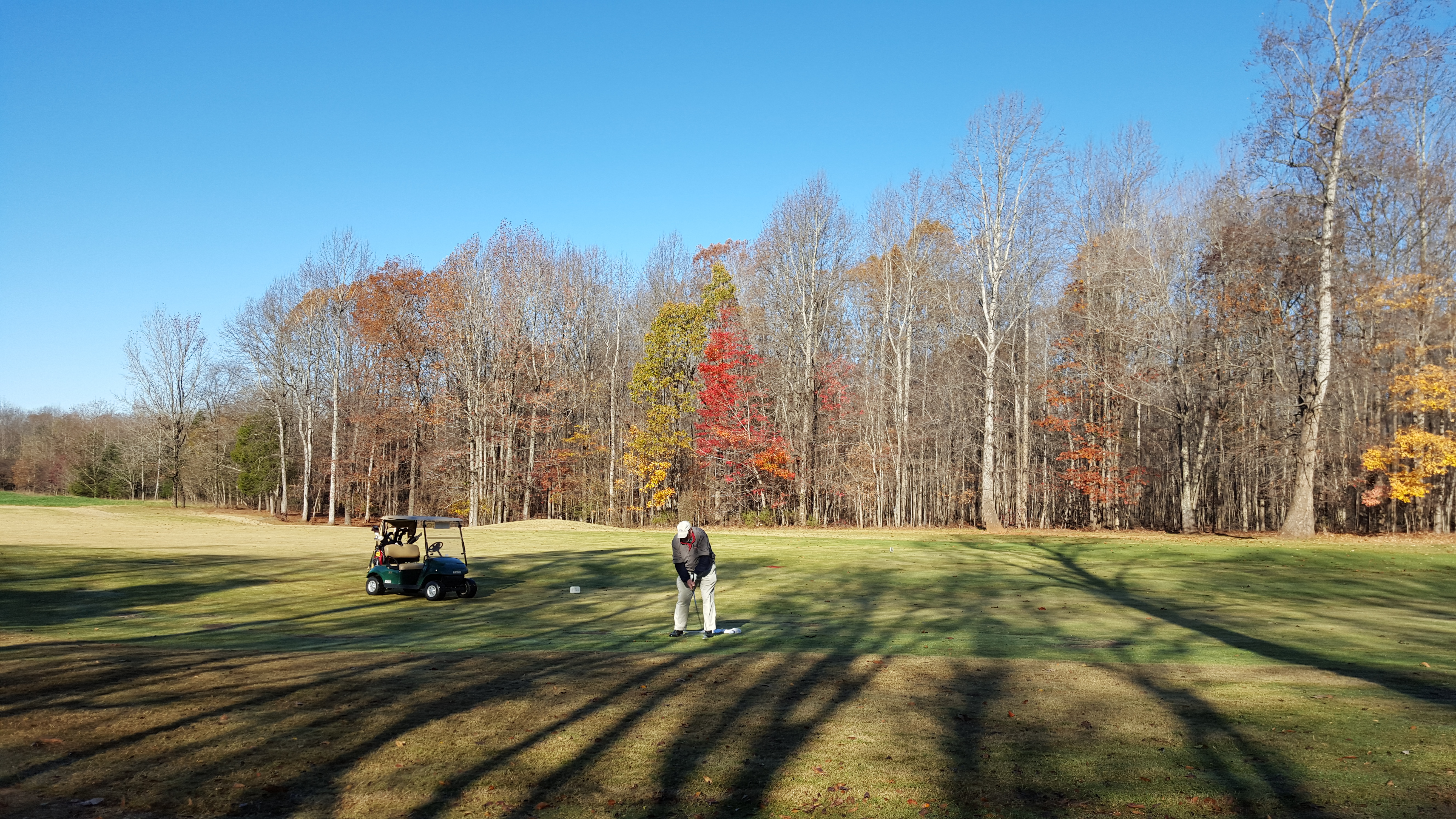
All you need is golf
Topographic Map of Burlingate Pl, Burlington, NC, USA
Find elevation by address:

Places near Burlingate Pl, Burlington, NC, USA:
Tarleton Ave, Burlington, NC, USA
2125 May Dr
2205 Lee Dr
1232 Willow Lake Rd
Blanche Dr, Burlington, NC, USA
2700 York Rd
Forestdale Dr, Burlington, NC, USA
Lake Verona
404 Huffman Mill Rd
2900 Winston Dr
2901 Lowell Dr
3018 River Hills Ln
Earl Drive
3, Boone Station
Elon University
Lake Mary Nell
Elon
120 Forestview Dr
131 Eva Dr
507 Brookview Dr
Recent Searches:
- Elevation of Corso Fratelli Cairoli, 35, Macerata MC, Italy
- Elevation of Tallevast Rd, Sarasota, FL, USA
- Elevation of 4th St E, Sonoma, CA, USA
- Elevation of Black Hollow Rd, Pennsdale, PA, USA
- Elevation of Oakland Ave, Williamsport, PA, USA
- Elevation of Pedrógão Grande, Portugal
- Elevation of Klee Dr, Martinsburg, WV, USA
- Elevation of Via Roma, Pieranica CR, Italy
- Elevation of Tavkvetili Mountain, Georgia
- Elevation of Hartfords Bluff Cir, Mt Pleasant, SC, USA