Elevation of Alamance County, NC, USA
Location: United States > North Carolina >
Longitude: -79.425377
Latitude: 36.0117388
Elevation: 150m / 492feet
Barometric Pressure: 100KPa
Elevation Map:
Satellite Map:
Related Photos:
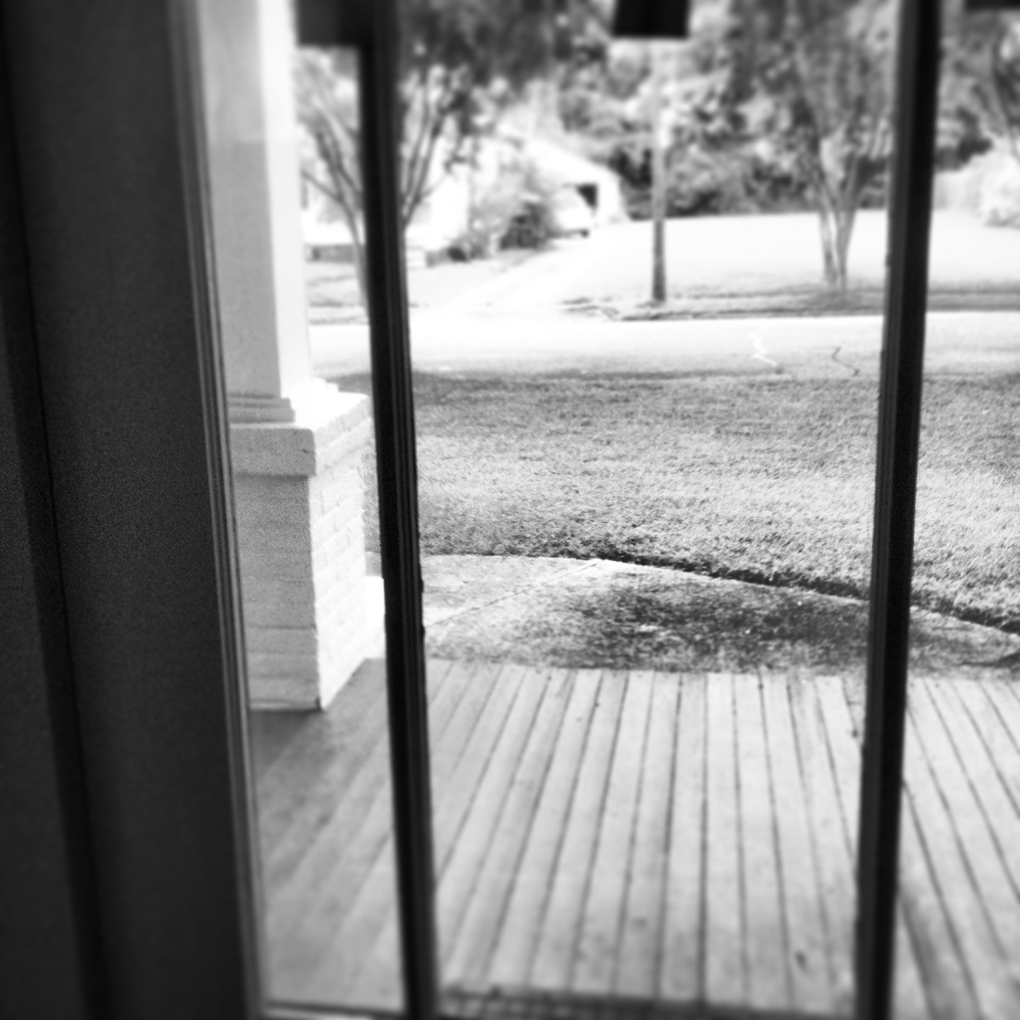
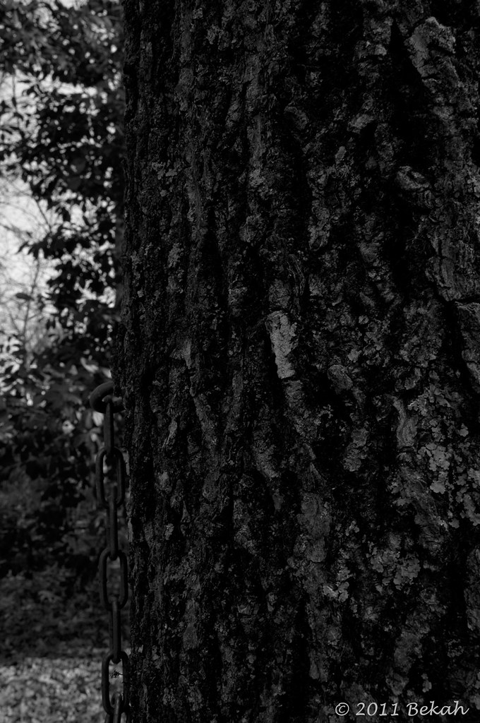
Black+White View
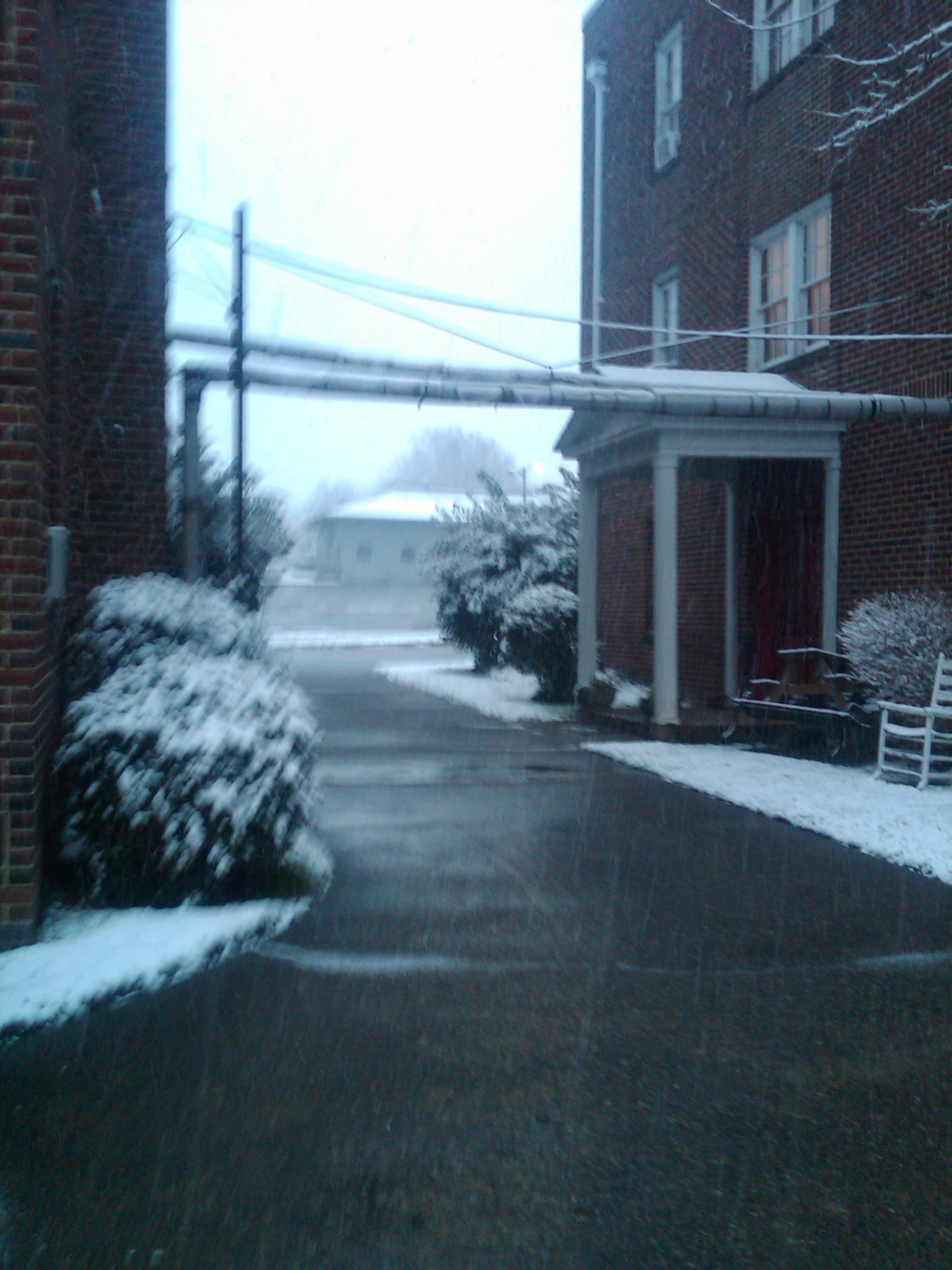
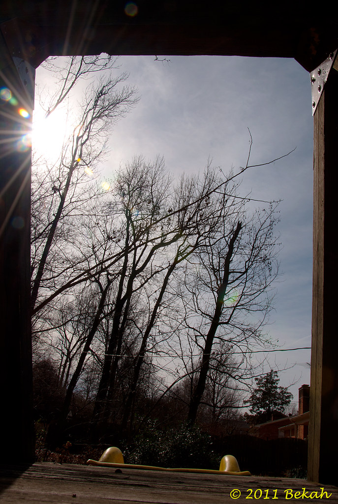
View from the Garage
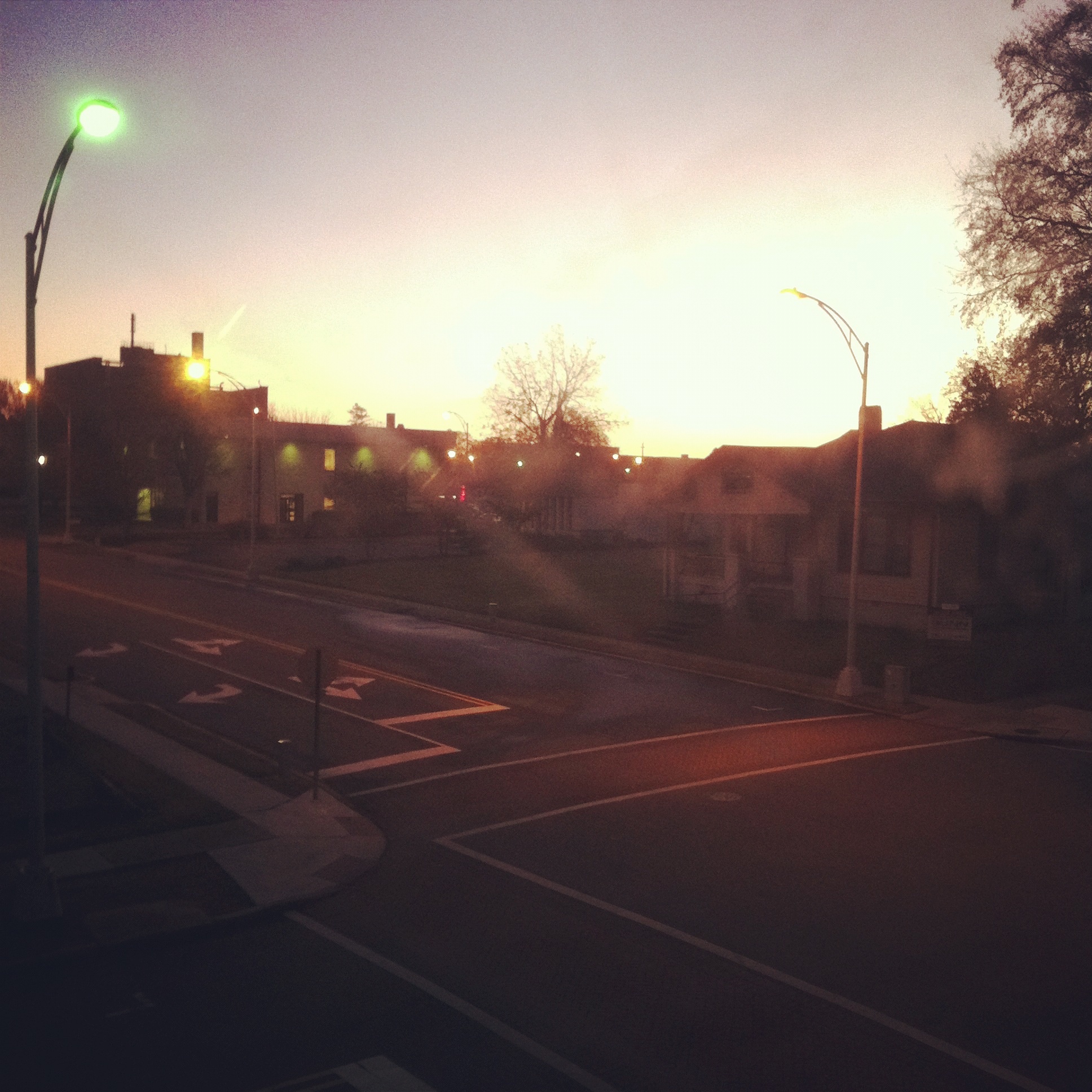
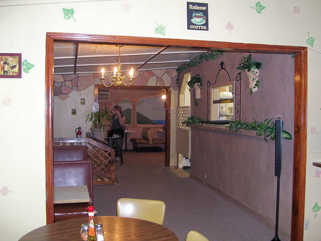
The View From My Window
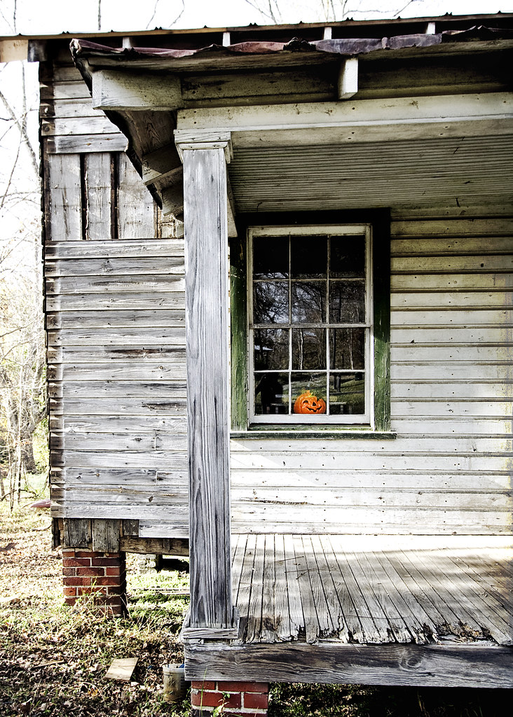
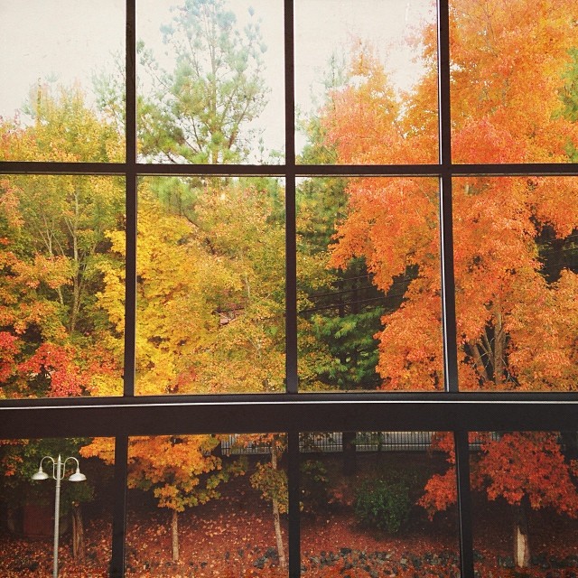
October 31, 2010

Virginia Cotton Mills, Swepsonville, NC

Windsor Cotton Mills, Burlington, NC
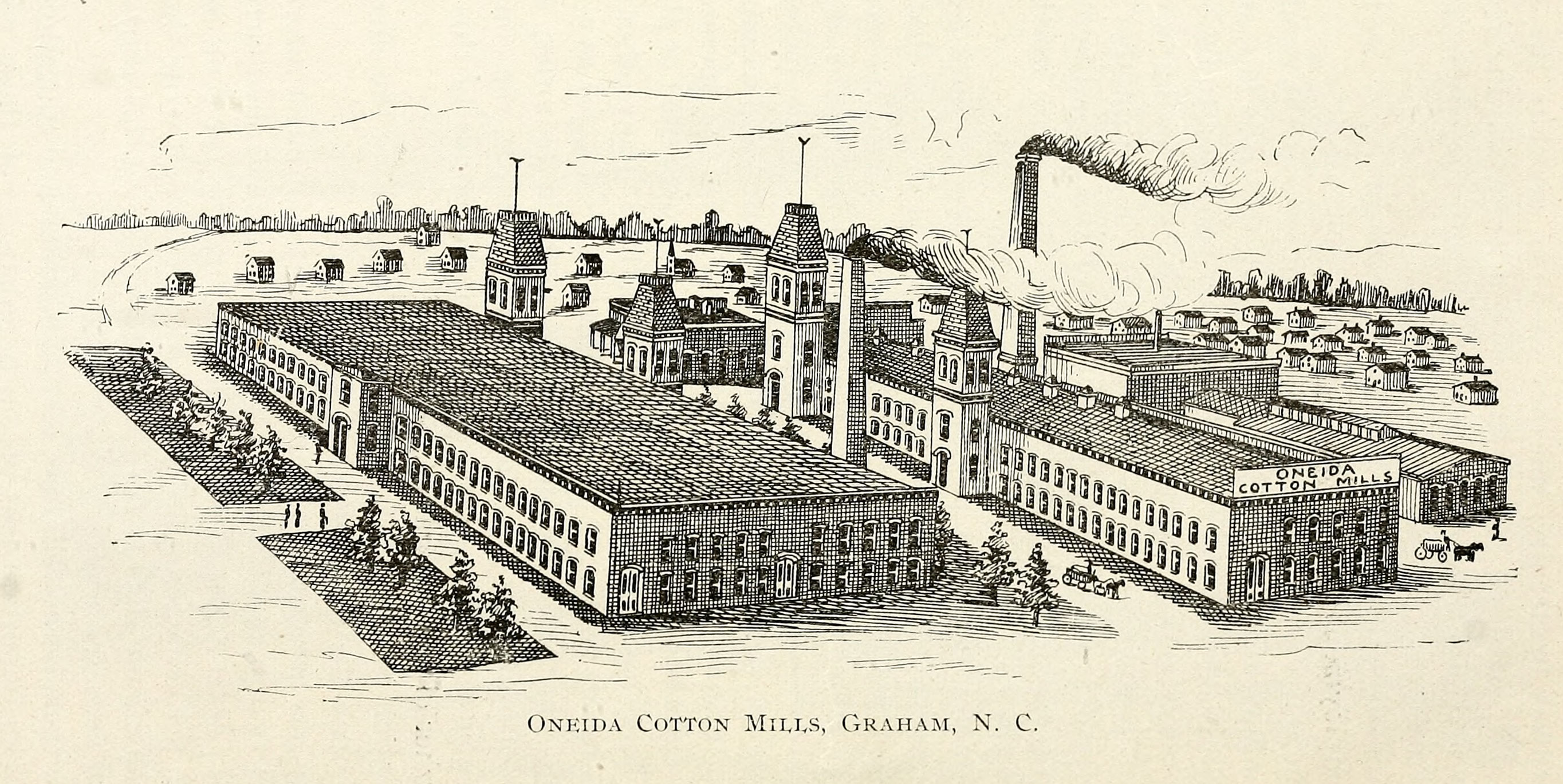
Oneida Cotton Mills, Graham, NC
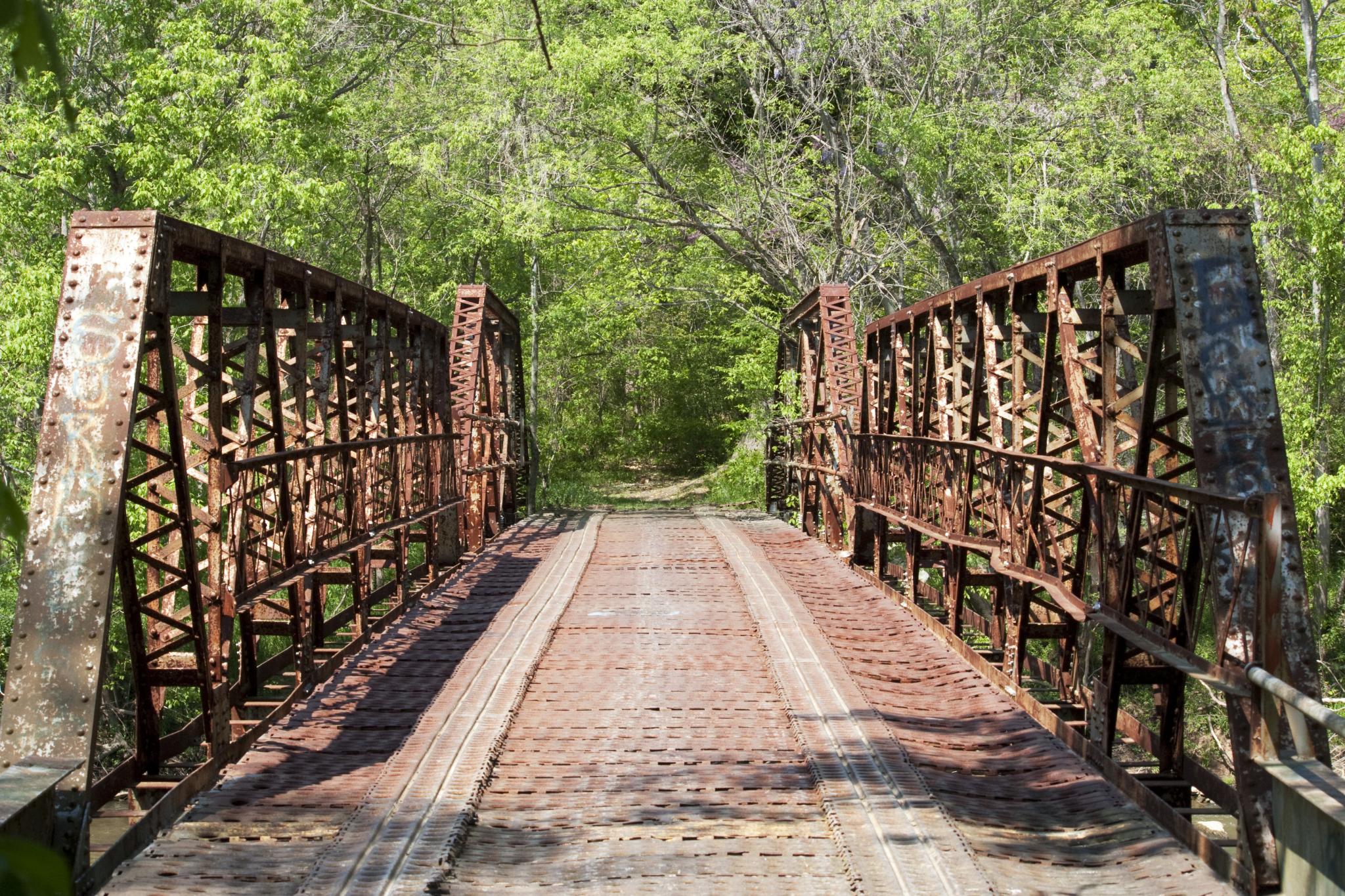
Sellars Mill Road Bridge, portal view

Rear view Reflection

Where You Slept - Bed's eye view
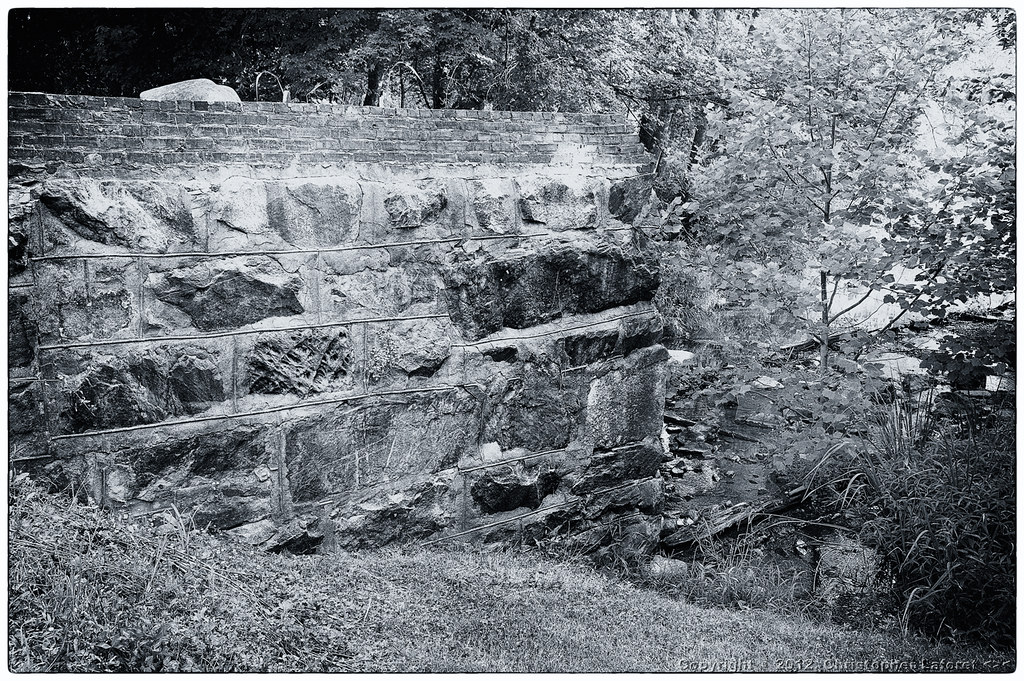
Old Dam at Swepsonville

Sellars Mill Road Bridge, portal view
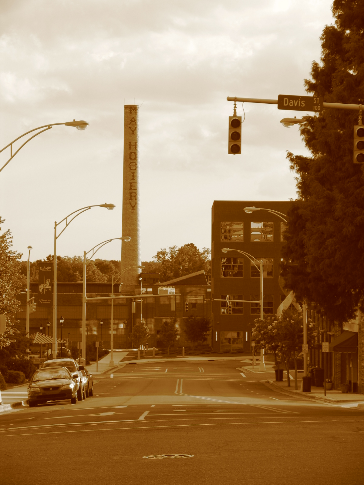
A view down Spring St.
General view

The view from the car window
View Through Slide Area

Floor view of my Christmas Tree

Night view of the deck

Floor view of my Christmas Tree
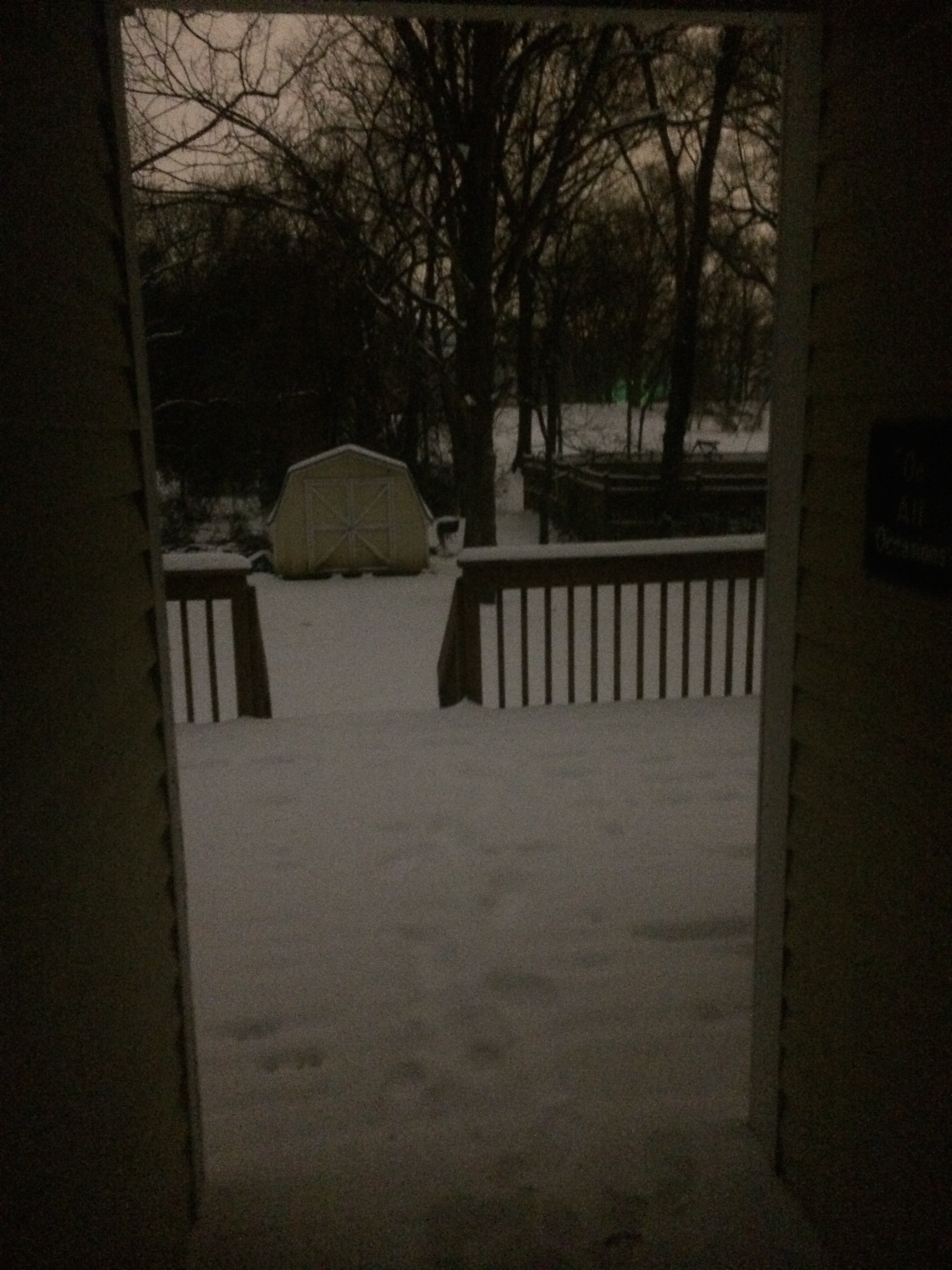
Night view of the deck
The view that greeted us this morning. Blissful. #saxapahaw #northcarolina
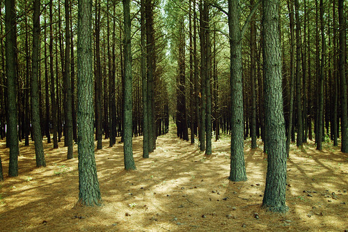
Mebane Oaks
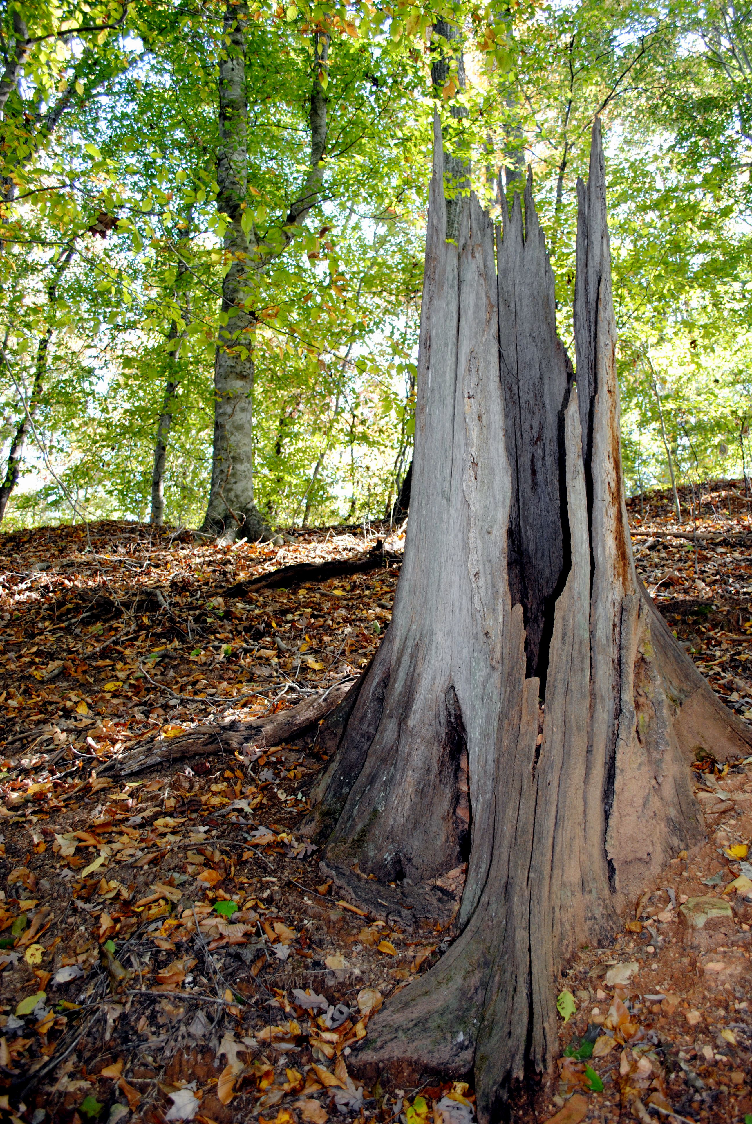
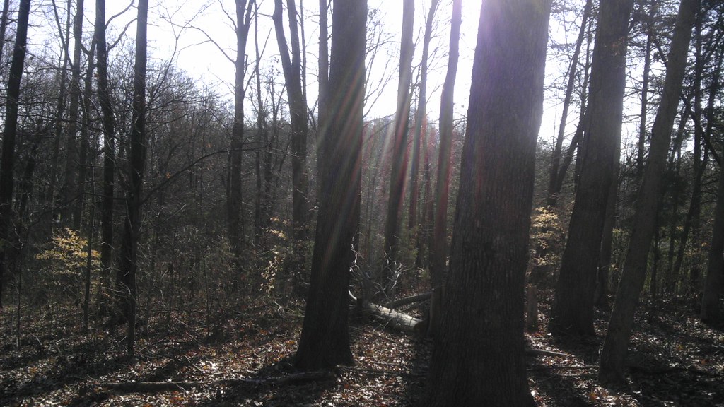
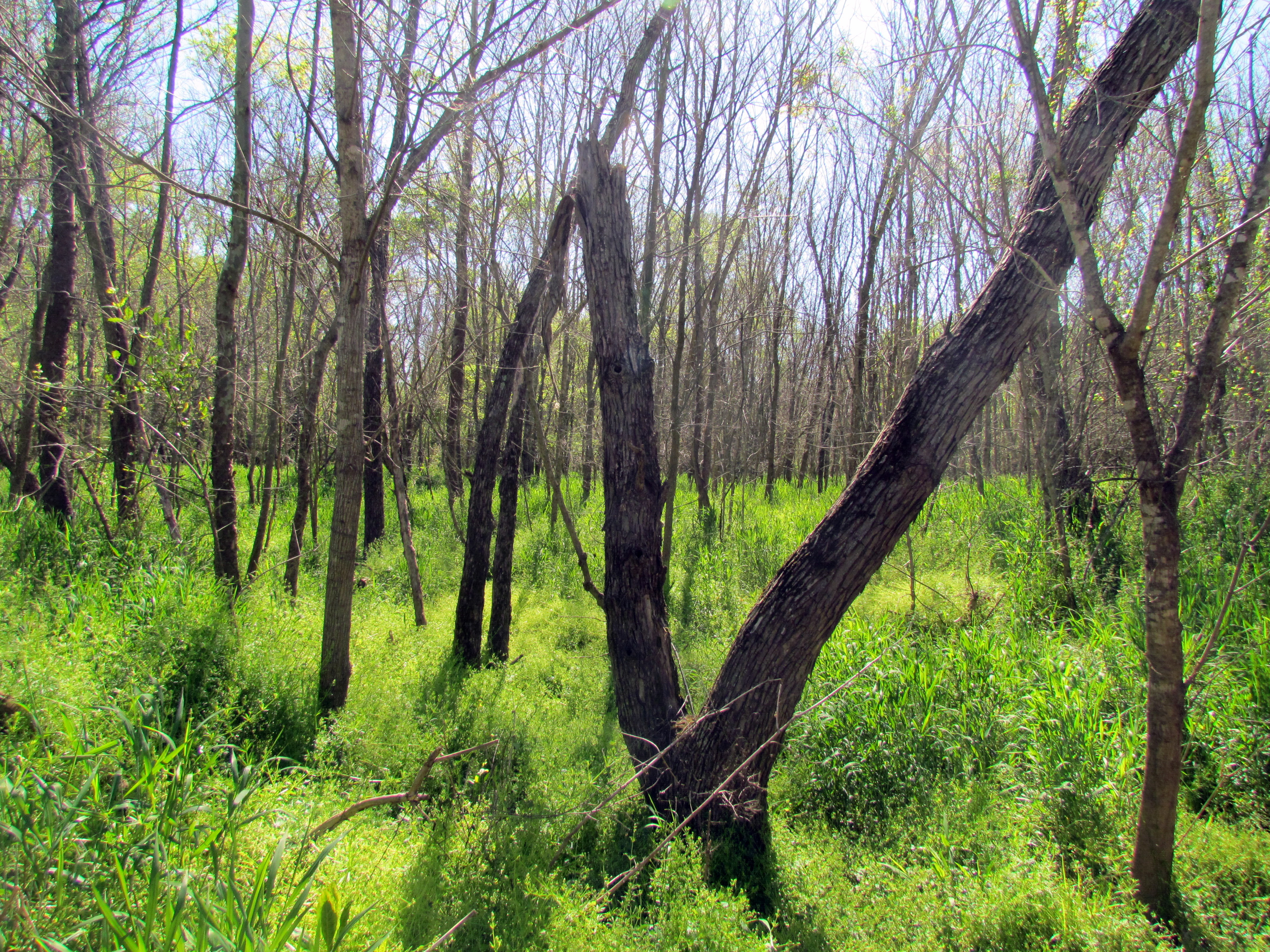
Random Trunk
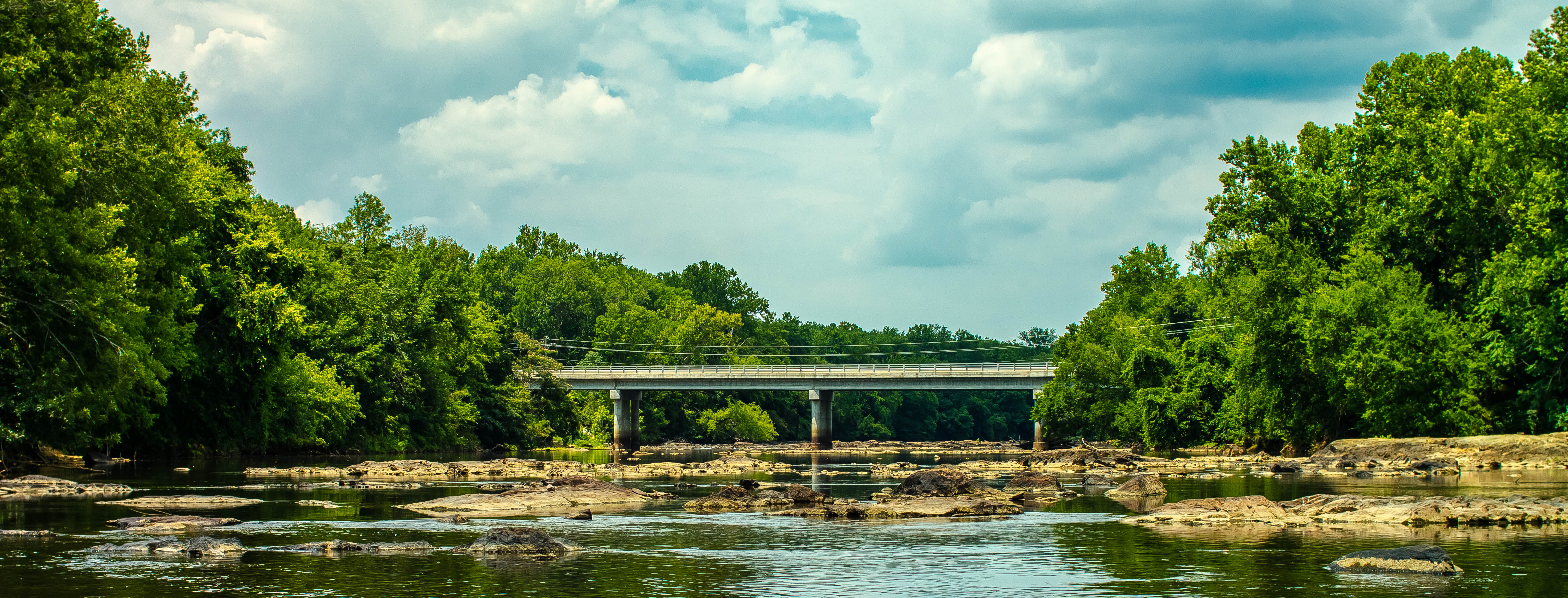
Rivers and Roads
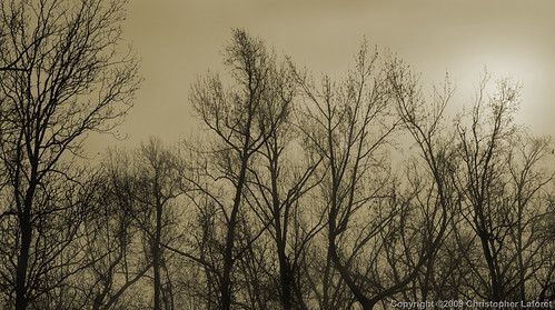
Silhouetted Trees in Fog
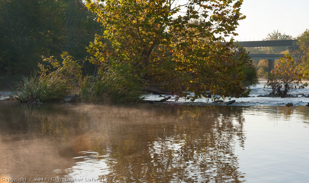
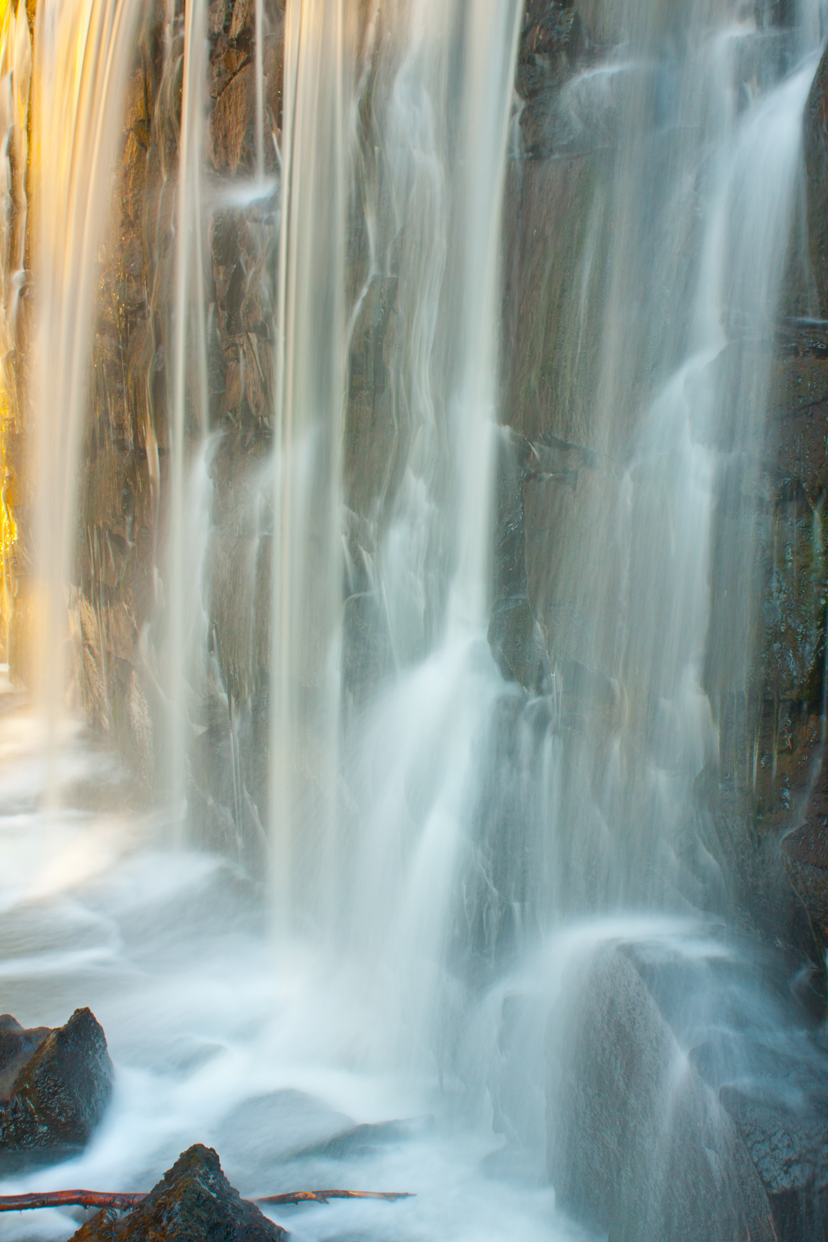
Mist and Rapids on Haw River #2

Mountains to Sea Trail Building
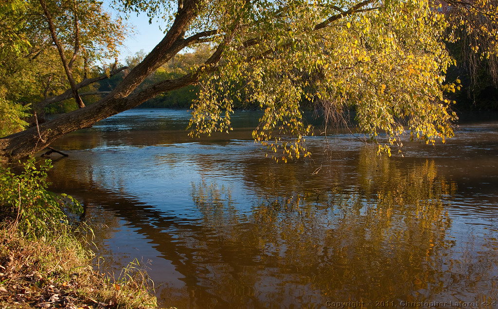
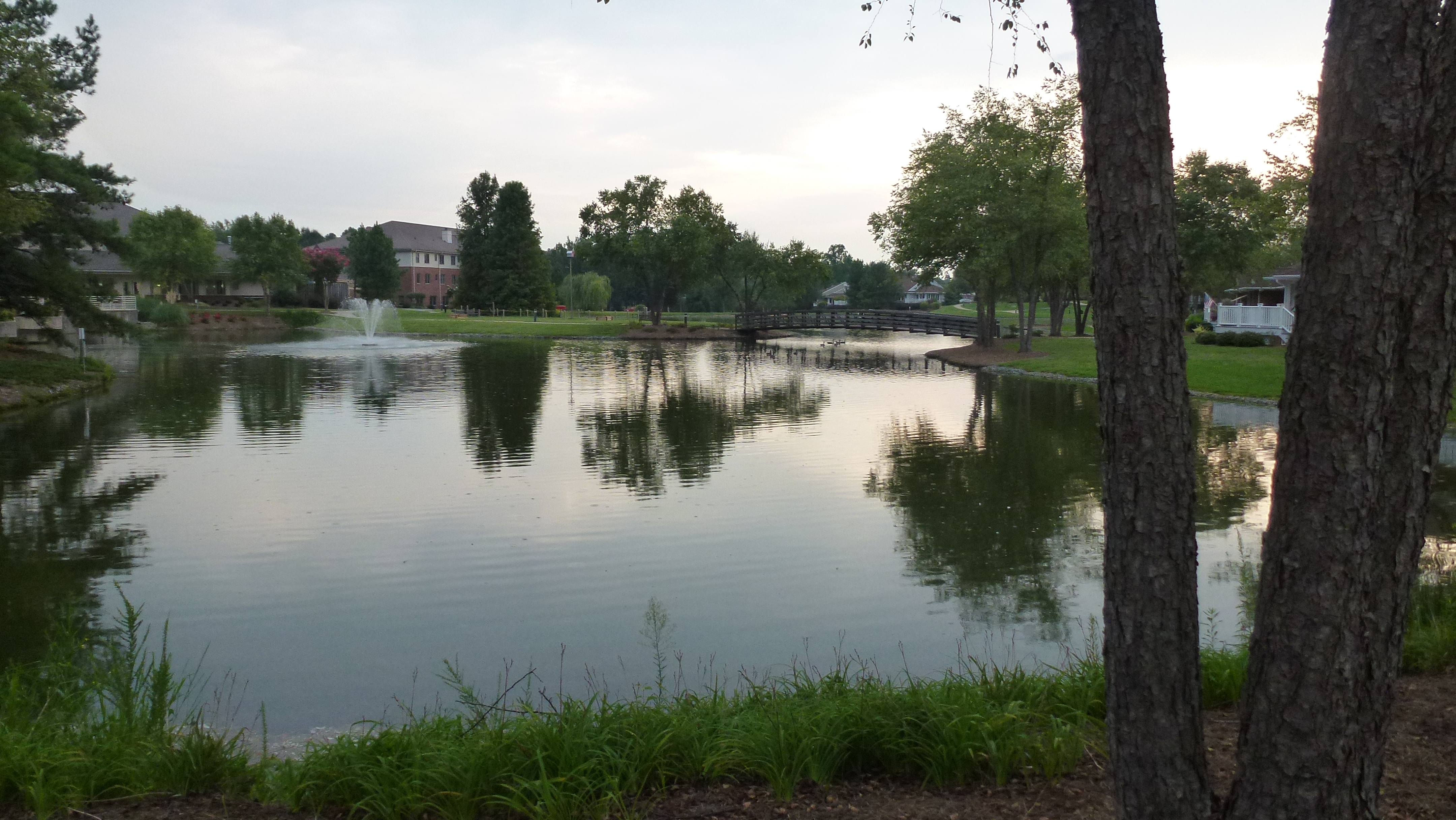
Horizontal Tree Reflected
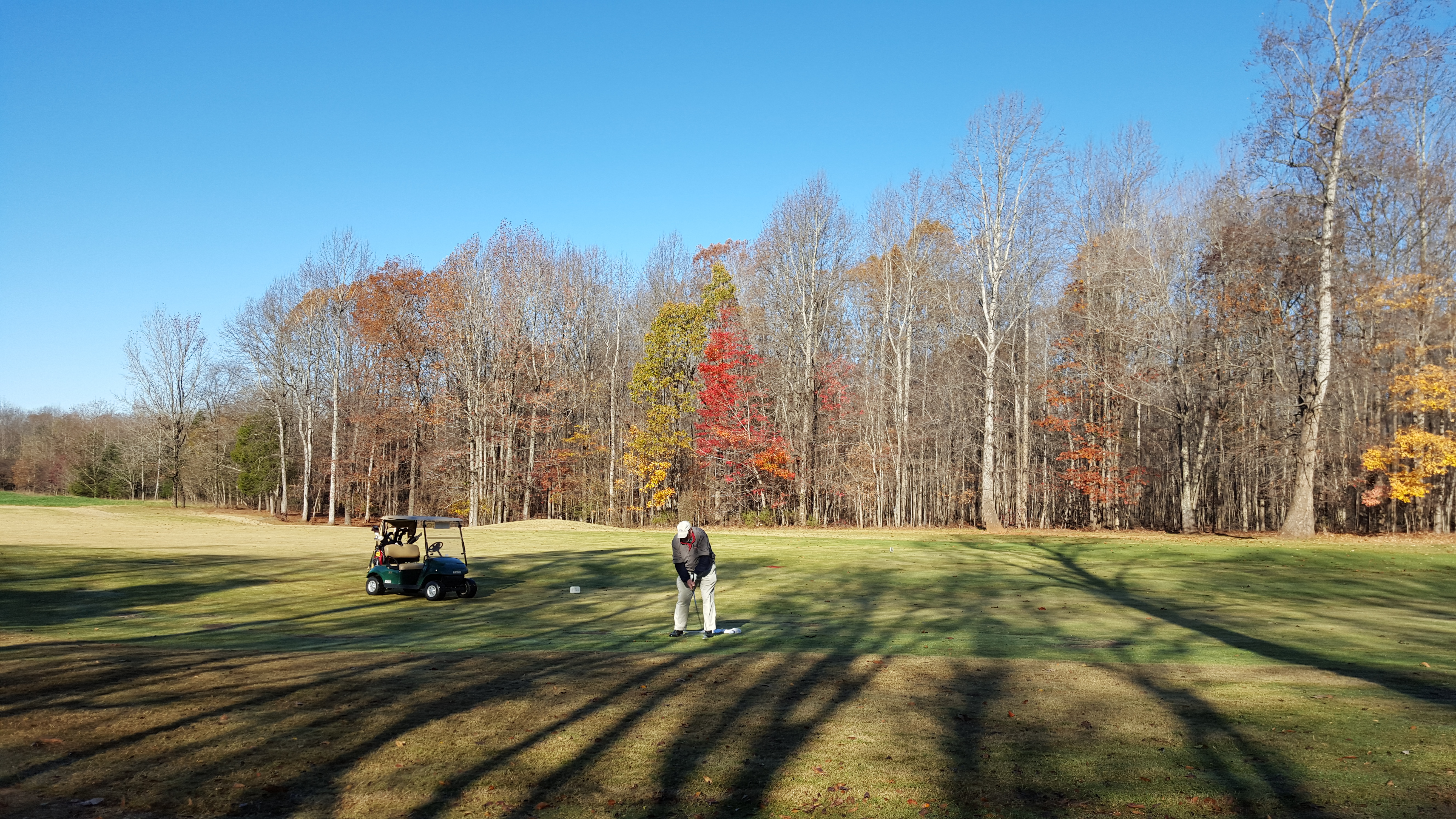
All you need is golf

S 5th St & Fieldale Rd, Mebane, NC , United States

Another bike ride to Ellen's school.
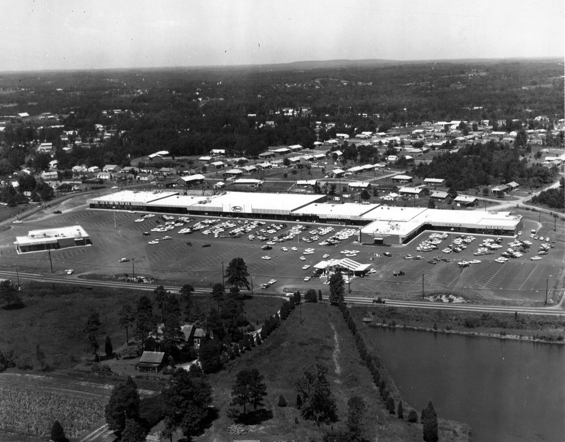
biff burger cum park plaza burlington NC 1963

Autumn Sun #northcarolina #iphonography #autumn #autumn2015 #sunset #sunshine #sunlight #sunsets #landscape #rural #autumntime

Wild Grasses of Autumn

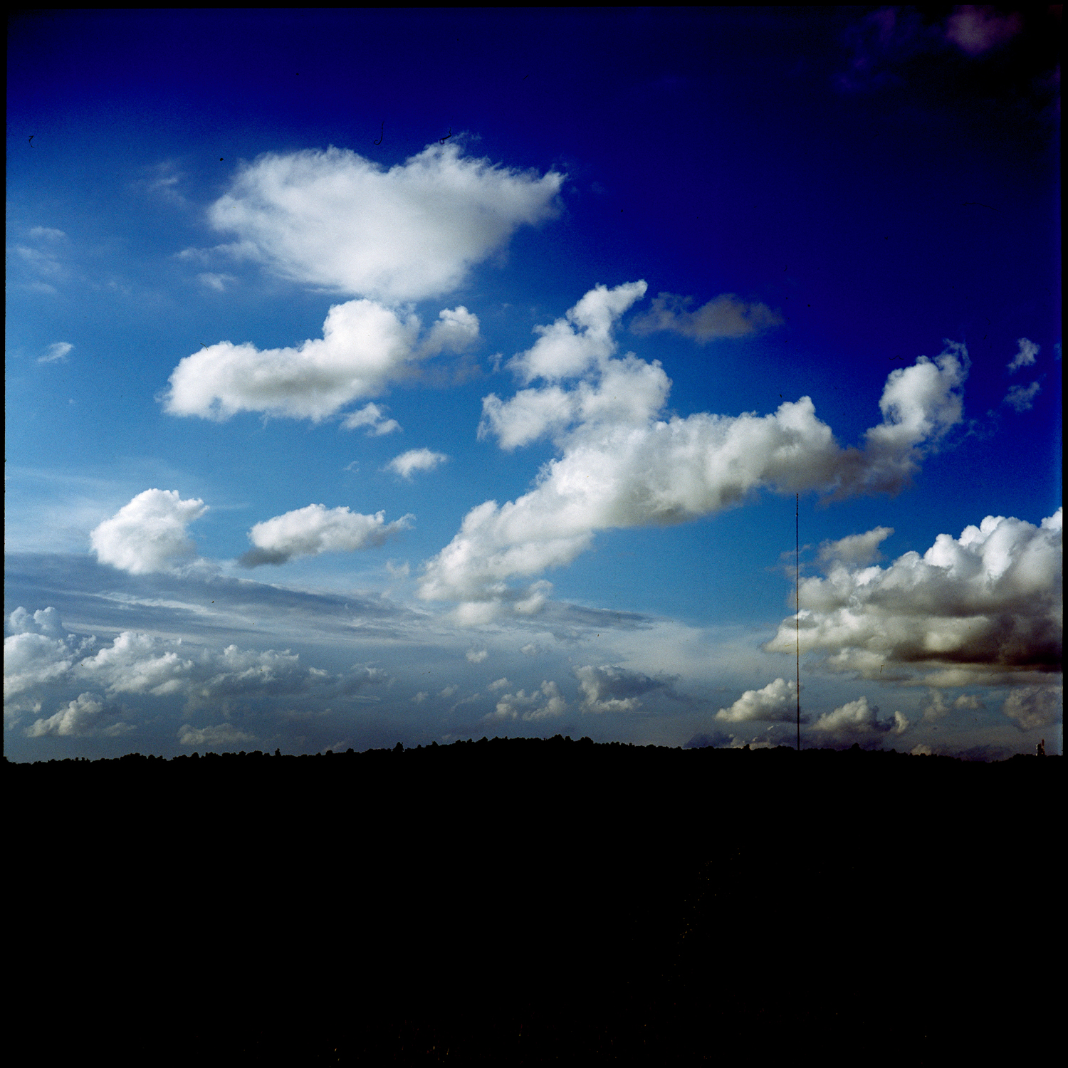
~ Summer Clouds in NC ~
_MG_9676-2
phone dump

Rapid and Moss
Still waters run still
Cane Creek Farm Cookout
Tree B&W
Haw River Trail Saxapahaw NC 6500
Topographic Map of Alamance County, NC, USA
Find elevation by address:

Places in Alamance County, NC, USA:
13, Haw River
3, Boone Station
Melville
2, Coble
5, Faucette
8, Newlin
9, Thompson
6, Graham
4, Morton
NC-54, Graham, NC, USA
Altamahaw Union Ridge Rd, Elon, NC, USA
12, Burlington
11, Pleasant Grove
1, Patterson
7, Albright
Places near Alamance County, NC, USA:
Bellemont
Cedarock Park
Delaine Dr, Burlington, NC, USA
7, Albright
2335 Cooper Rd
2253 Cooper Rd
Cane Creek Mountains Natural Area
2744 Swepsonville-saxapahaw Rd
Swepsonville
Cane Creek Mountains
3047 Viewmont Dr
Bass Mountain Road
2344 Crescent Dr
NC-54, Graham, NC, USA
2010 Aurora Drive
5995 State Rd 1003
5995 State Rd 1003
5895 S Spring Flowers Dr
5894 S Spring Flowers Dr
5890 S Spring Flowers Dr
Recent Searches:
- Elevation of Corso Fratelli Cairoli, 35, Macerata MC, Italy
- Elevation of Tallevast Rd, Sarasota, FL, USA
- Elevation of 4th St E, Sonoma, CA, USA
- Elevation of Black Hollow Rd, Pennsdale, PA, USA
- Elevation of Oakland Ave, Williamsport, PA, USA
- Elevation of Pedrógão Grande, Portugal
- Elevation of Klee Dr, Martinsburg, WV, USA
- Elevation of Via Roma, Pieranica CR, Italy
- Elevation of Tavkvetili Mountain, Georgia
- Elevation of Hartfords Bluff Cir, Mt Pleasant, SC, USA