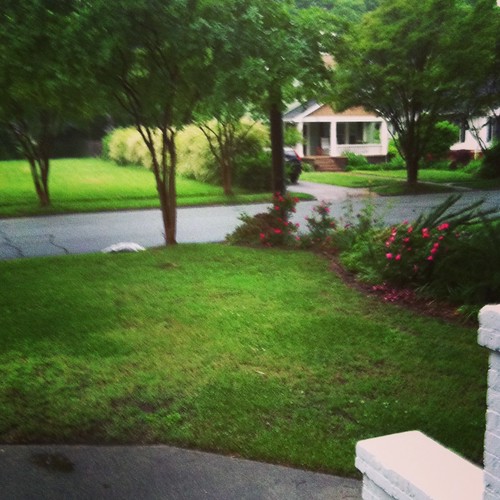
Elevation of Blanche Dr, Burlington, NC, USA
Location: United States > North Carolina > Alamance County > 3, Boone Station > Burlington >

Longitude: -79.475846

Latitude: 36.074896

Elevation: 199m / 653feet

Barometric Pressure: 99KPa

Elevation Map:

elevation map of Blanche Dr, Burlington, NC, USA
Satellite Map:

Satellite map of Blanche Dr, Burlington, NC, USA
Related Photos:

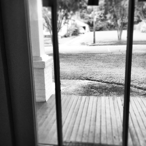
Black+White View
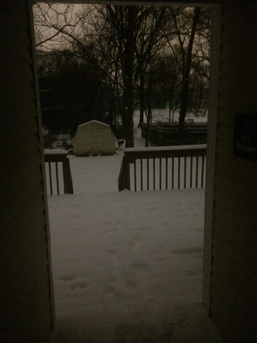
Night view of the deck
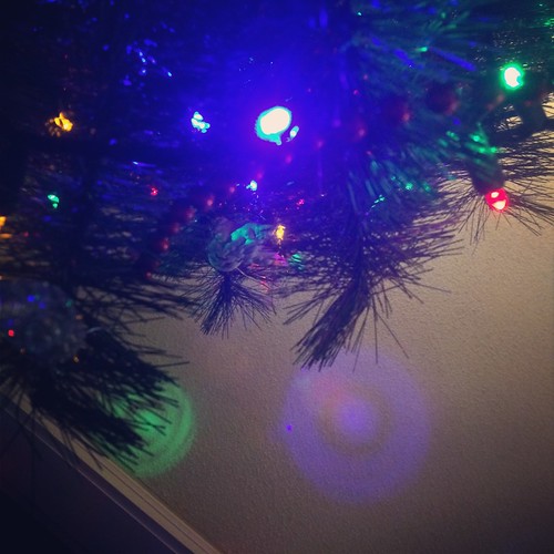
Floor view of my Christmas Tree
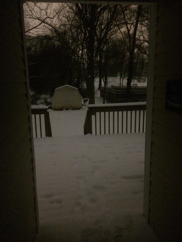
Night view of the deck
Floor view of my Christmas Tree
View from the Garage
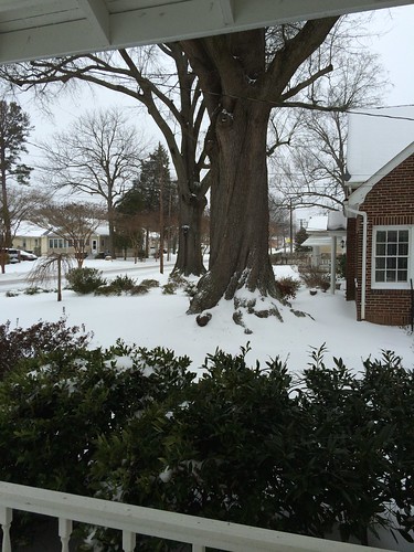
The View From My Window
trees winter sun mist silhouette fog branches nikond100 boughs treesinfog silhouettedtrees flickraward burlingtonncusa chrislaforet claforet
Silhouetted Trees in Fog
View out of my kitchen Window
Quickly becoming My Favorite View
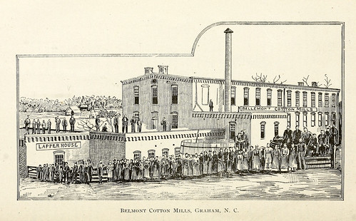
industry northcarolina textile cotton mills graham factories manufacturing alamancecounty ncpedia
Belmont Cotton Mills, Graham, NC
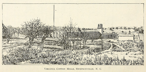
industry northcarolina textile cotton mills factories manufacturing alamancecounty swepsonville ncpedia
Virginia Cotton Mills, Swepsonville, NC
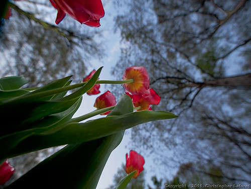
trees tulips lookup nikond700 bugeyesview chrislaforet sigma14ed claforet
Tulips from Below
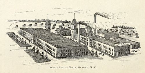
industry northcarolina textile cotton mills graham factories manufacturing alamancecounty ncpedia
Oneida Cotton Mills, Graham, NC
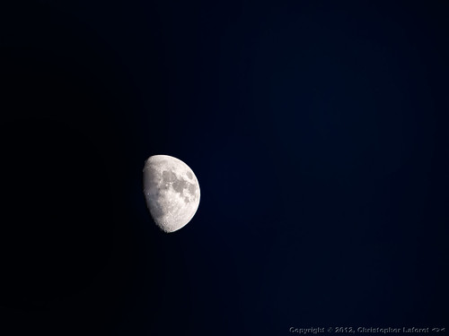
moon lunar halfmoon waxingmoon viveza nikond700 sigmabigos skycompositing
Half Moon
shift tilit
Tilt Shift Bedroom View
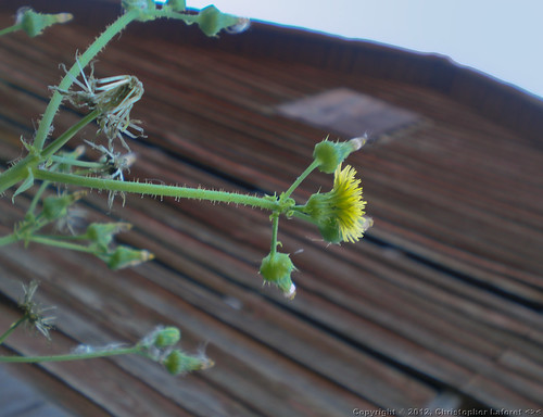
barn weed yellowflower ruraldecay oldbarn weatheredboards viveza olympusfe230
Old Barn Off US-70W #2
trees red green canon river eos rebel rust rocks north rapids pony carolina warren graham piedmont xsi pratt truss alamance 450d
Sellars Mill Road Bridge, portal view
Rear view Reflection
Morning view
Where You Slept - Bed's eye view
~ Winter Fodder ~
stallsfloodedsunday
~ Ain't My Tractor Sexy?? ~
earlyaugust12
~ Summer Clouds in NC ~
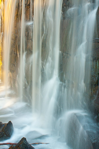
waterfall nc dam alamance alamancecounty cedarrockpark oldmilldam
_MG_9676-2
square slumber squareformat iphoneography instagramapp uploaded:by=instagram
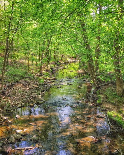
Shallow Ford #snapseed #formulasapp #mextures #ncnature #iphoneography #shallowford #hawriver #shallowfordtrails
flickrandroidapp:filter=none
phone dump
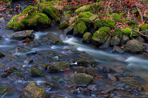
Rapid and Moss
blue trees sky reflection green water burlington grey nc ripples twinlakescenter
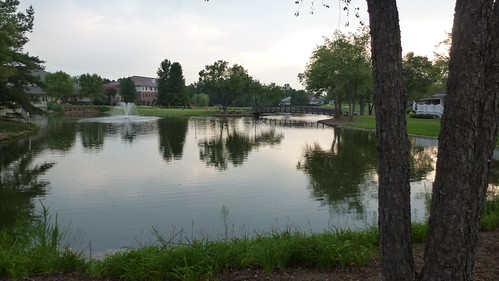
Still waters run still
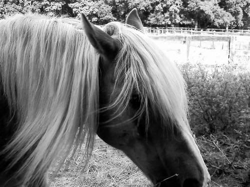
~ A Sunday Afternoon with Skipper, the Haflinger ~
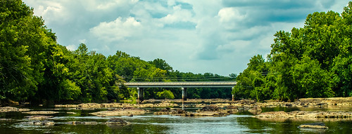
bridge samsung hawriver canonfd alamancecounty swepsonville canonfd28mmf28 nx1100 samsungnx1100
Rivers and Roads
Trailbuilding at Stoney Creek Marina
Tree B&W
reflections hawriver alamancecounty earlymorninglight nikond700
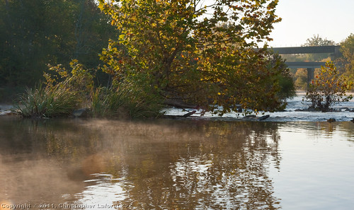
Mist and Rapids on Haw River #2
Laughin'
usa northcarolina guilfordcounty
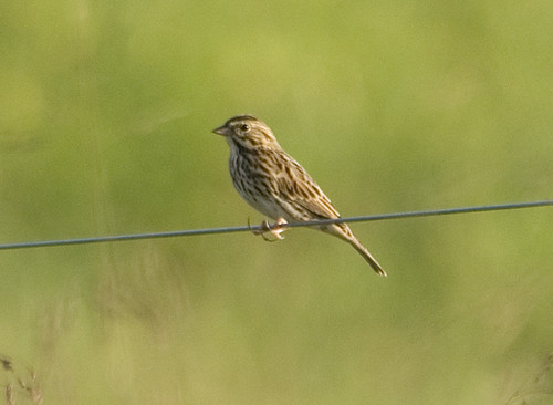
Savannah Sparrow 20150920001050
building college architecture campus living education university live culture northcarolina international learning dining elon dormitory cultural academic studyabroad classrooms residencehall highereducation japanesehouse elonuniversity learningspaces campusarchitecture deutscheshaus lamaisonfrancaise academicbuilding livelearn learninglab iphoneography lacasaitaliana spillmanfarmer lakemarynell spillmanfarmerarchitects globalneighborhood lacasadeespanol
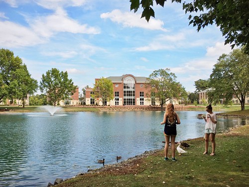
Elon University - Global Neighborhood
Trailbuilding at Stoney Creek Marina
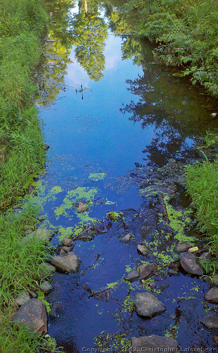
creek reflections rocks android duckweed conservancy burlingtoncitypark droid2 littlealamancecreek
Duckweed in Little Alamance Creek
Mountains to Sea Trail Building
tree pine forest shadows northcarolina alamancecounty alamancebattleground tiwonge
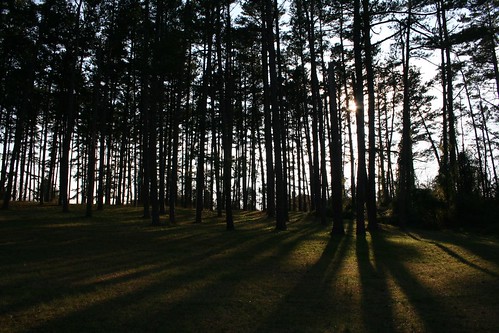
Pine shadows