Elevation of Burchell Rd, Gilroy, CA, USA
Location: United States > California > Santa Clara County > Gilroy >
Longitude: -121.63981
Latitude: 37.021648
Elevation: -10000m / -32808feet
Barometric Pressure: 295KPa
Elevation Map:
Satellite Map:
Related Photos:

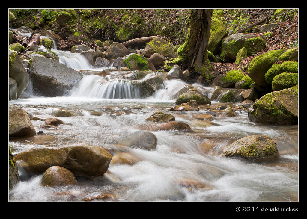
uvas creek

Old Oak Tree

Aerial view of the San Andreas Fault, a sag pond, and a side-hill bench, Watsonville, Santa Cruz County, California

Hungry minds

Air Travel - the Curvature of the Earth in 3D

47/365 Whirligig Mite (Anystis) on Oak tree

Chipping Sparrow (Spizella passerina)

Aerial view of Hazel Dell and the San Andreas Fault, Santa Cruz County, California

man views streetscape construction, Monterey Street, Gilroy, June 24, 2006

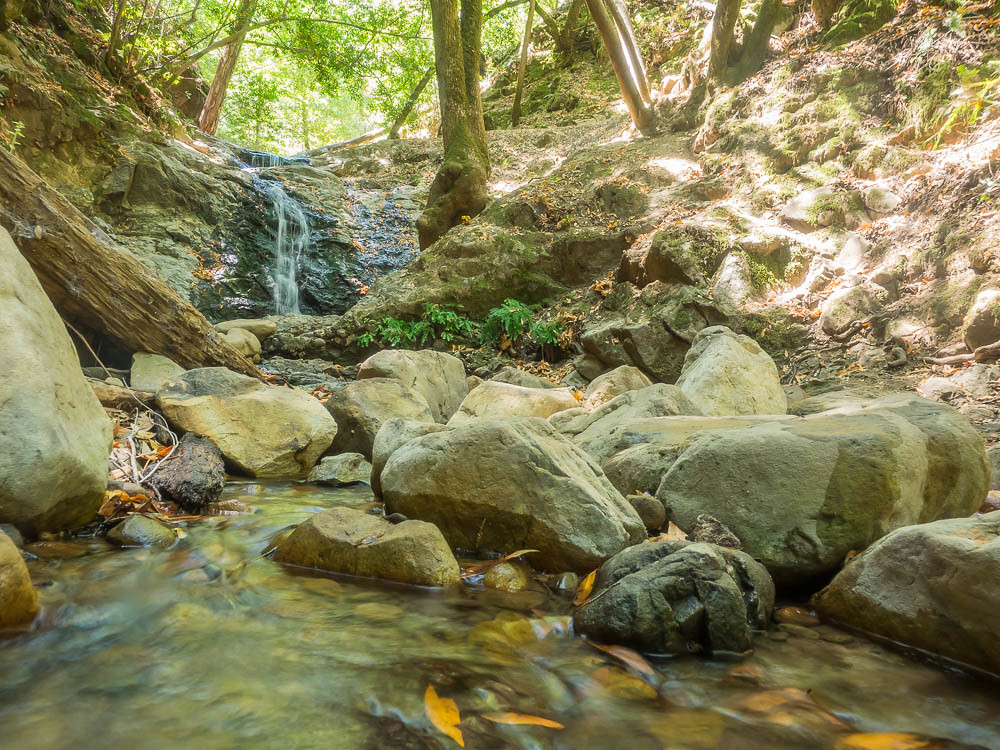
Uvas-Canyon_02

Ah....Spring

From the Willow Springs Trail we overlooked much of our 8-mile loop

Sierra Azul Garden View
Uvas Canyon County Park, CA

In view of Pacific Grove #montereybay #windyoaks #summerpicnic

May 12, 2015 I stopped at a roadside fruit stand outside of #Gilroy #California and bought strawberries. This was the view over the fence. #TravelPicOfTheDay #shamrockelvisonthemove

View south from the Willow Springs trail

I love this barn!

Uvas Canyon

Canyon Wren (Catherpes mexicanus)

Morning Clouds
Uvas-Water_02

Freedom is nothing but a chance to be better...

Uvas-Water_03

Trunk of many colors

low water level reveals old bridge in Chesbro Reservoir, near Morgan Hill, July 7, 2007
Uvas Canyon

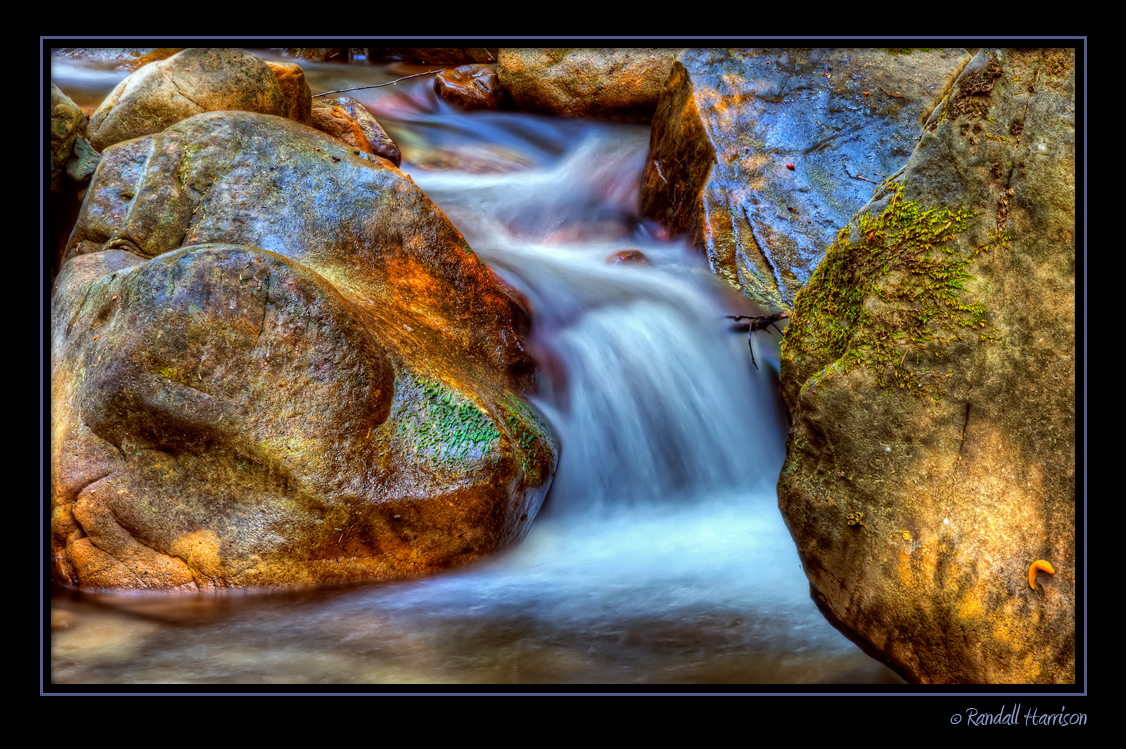
Canyon Cascade

Uvas-Canyon_01

#gilroy for a quick minute

Not long before the green is gone

Time Of Rest...
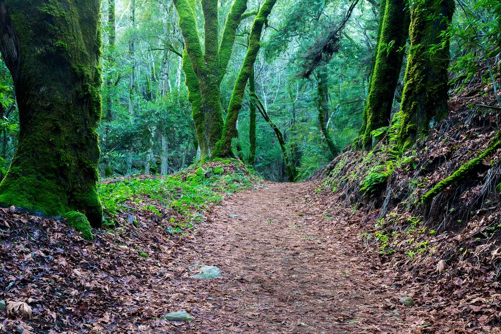
Amid Mossy Trees

Fantastic...

Two Trees

Near Uvas Canyon, Overcast
Topographic Map of Burchell Rd, Gilroy, CA, USA
Find elevation by address:

Places near Burchell Rd, Gilroy, CA, USA:
8555 Larkspur Ln
Day Rd, Gilroy, CA, USA
Hecker Pass Rd, Gilroy, CA, USA
One Iron Bar
1920 Portmarnock Way
Team Patereau Property Management
Byers Street
1st St, Gilroy, CA, USA
611 1st St
Muraoka Dr, Gilroy, CA, USA
1030 W 10th St
Wings-history Aircraft Museum
San Martin
7680 Monterey Street
Gilroy
San Martin Airport
2595 Church Ave
2595 Church Ave
Pacheco Pass Hwy, Gilroy, CA, USA
El Camino Real, Gilroy, CA, USA
Recent Searches:
- Elevation of Corso Fratelli Cairoli, 35, Macerata MC, Italy
- Elevation of Tallevast Rd, Sarasota, FL, USA
- Elevation of 4th St E, Sonoma, CA, USA
- Elevation of Black Hollow Rd, Pennsdale, PA, USA
- Elevation of Oakland Ave, Williamsport, PA, USA
- Elevation of Pedrógão Grande, Portugal
- Elevation of Klee Dr, Martinsburg, WV, USA
- Elevation of Via Roma, Pieranica CR, Italy
- Elevation of Tavkvetili Mountain, Georgia
- Elevation of Hartfords Bluff Cir, Mt Pleasant, SC, USA