Elevation of Burbaker Road, Burbaker Rd, Colorado, USA
Location: United States > Colorado > Fort Garland >
Longitude: -105.31909
Latitude: 37.481838
Elevation: 2706m / 8878feet
Barometric Pressure: 73KPa
Elevation Map:
Satellite Map:
Related Photos:

Rio Grande Scenic Railroad

Mountain views

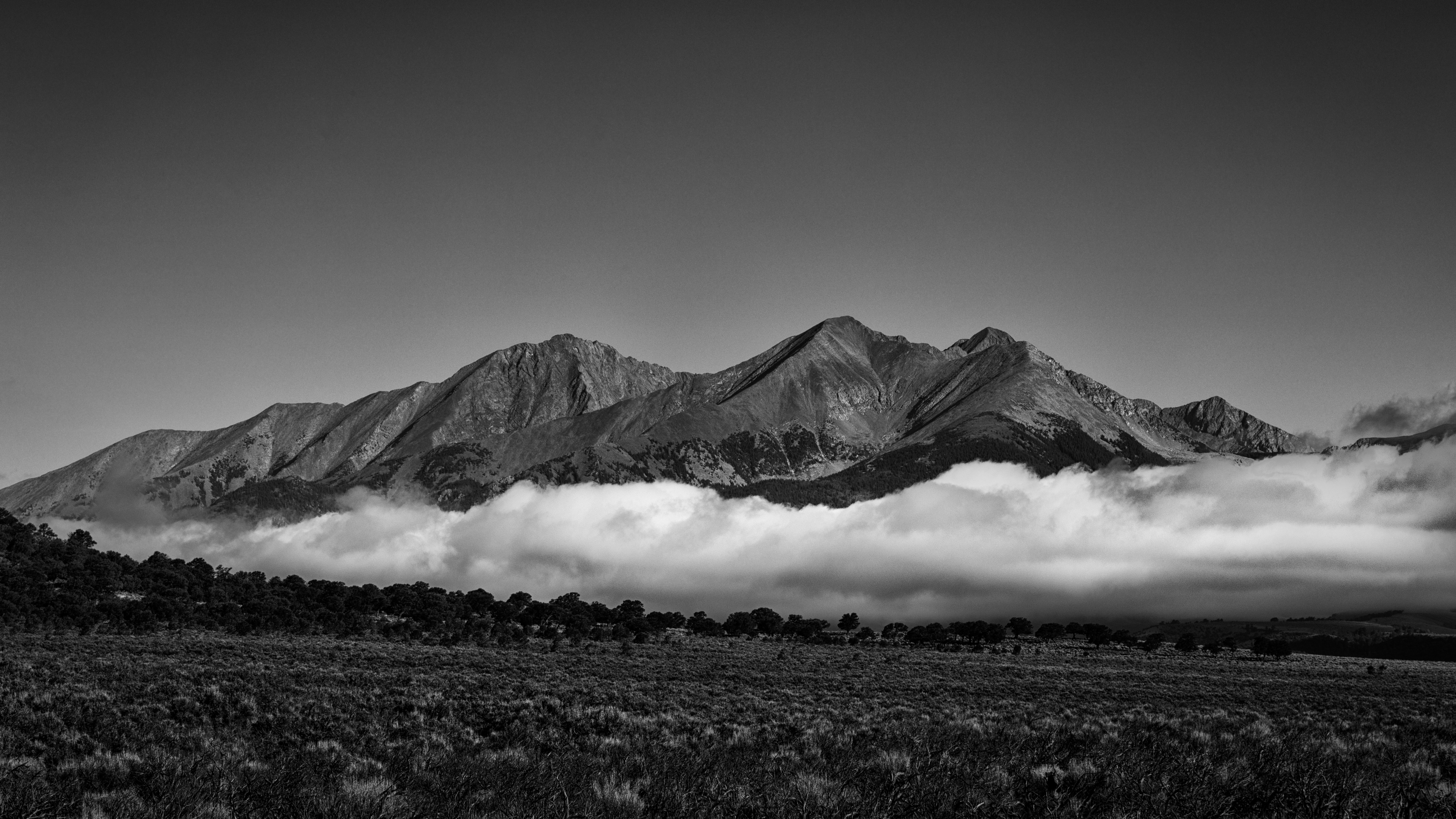
Blanca peak

Sierra Blanca Massif. View 2

Sierra Blanca Massif. View 1

Depot View

San Juan Valley

Mountain View Lake

Mountain View Reservoir

San Juan Valley

The End

Uptop Chapel in B&W

In Need of Repairs

Colorful Colorado
Blanca Peak, Extra Whip

Flying Home

Mount Blanca Sunrise

S-Curve

Blanca Peak and Mount Lindsey

Descending La Veta Pass
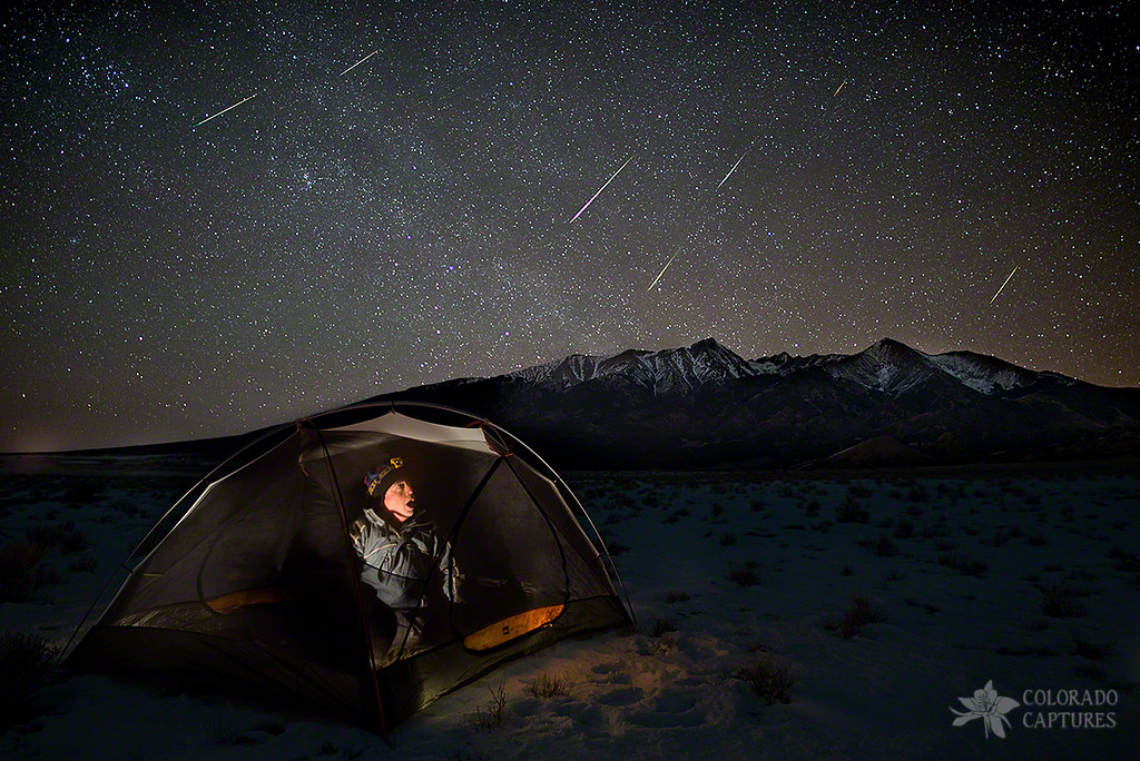
Taking Cover From The Quadrantids Meteor Shower

San Luis Valley

Blanca Peak, U.S. Route 160 West Between Walsenburg and Alamosa, Colorado

Blanca Peak, U.S. Route 160 Between Fort Garland and Blanca, Colorado

Blanca Peak, U.S. Route 160 Between Fort Garland and Blanca, Colorado

The Crestones

Old La Veta Pass (Costilla County, Colorado)

Sierra Blanca Mountains from Fort Garland, Fort Garland, CO

The Wet Mountains
Topographic Map of Burbaker Road, Burbaker Rd, Colorado, USA
Find elevation by address:

Places near Burbaker Road, Burbaker Rd, Colorado, USA:
Thompson Road
73741 Platten Rd
7410 Platten Rd
7305 Tiernan Rd
230 Tahmoush Ln
30 Wagon Mesa Loop
148 Blumenthal Pl
Russell
Biel Place
278 Borman Dr
Guendel Place
387 Powers Rd
426 Powers Rd
761 Messinger Pl
182 Lautenberg Dr
Lone Rock Hill
1306 Hassan Ln
1306 Hassan Ln
1306 Hassan Ln
1203 Madden Ln
Recent Searches:
- Elevation of Corso Fratelli Cairoli, 35, Macerata MC, Italy
- Elevation of Tallevast Rd, Sarasota, FL, USA
- Elevation of 4th St E, Sonoma, CA, USA
- Elevation of Black Hollow Rd, Pennsdale, PA, USA
- Elevation of Oakland Ave, Williamsport, PA, USA
- Elevation of Pedrógão Grande, Portugal
- Elevation of Klee Dr, Martinsburg, WV, USA
- Elevation of Via Roma, Pieranica CR, Italy
- Elevation of Tavkvetili Mountain, Georgia
- Elevation of Hartfords Bluff Cir, Mt Pleasant, SC, USA