Elevation of Madden Ln, Fort Garland, CO, USA
Location: United States > Colorado > Fort Garland >
Longitude: -105.20374
Latitude: 37.5027447
Elevation: 2794m / 9167feet
Barometric Pressure: 72KPa
Elevation Map:
Satellite Map:
Related Photos:

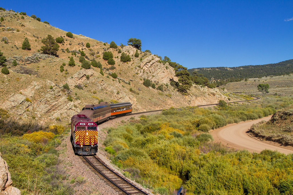
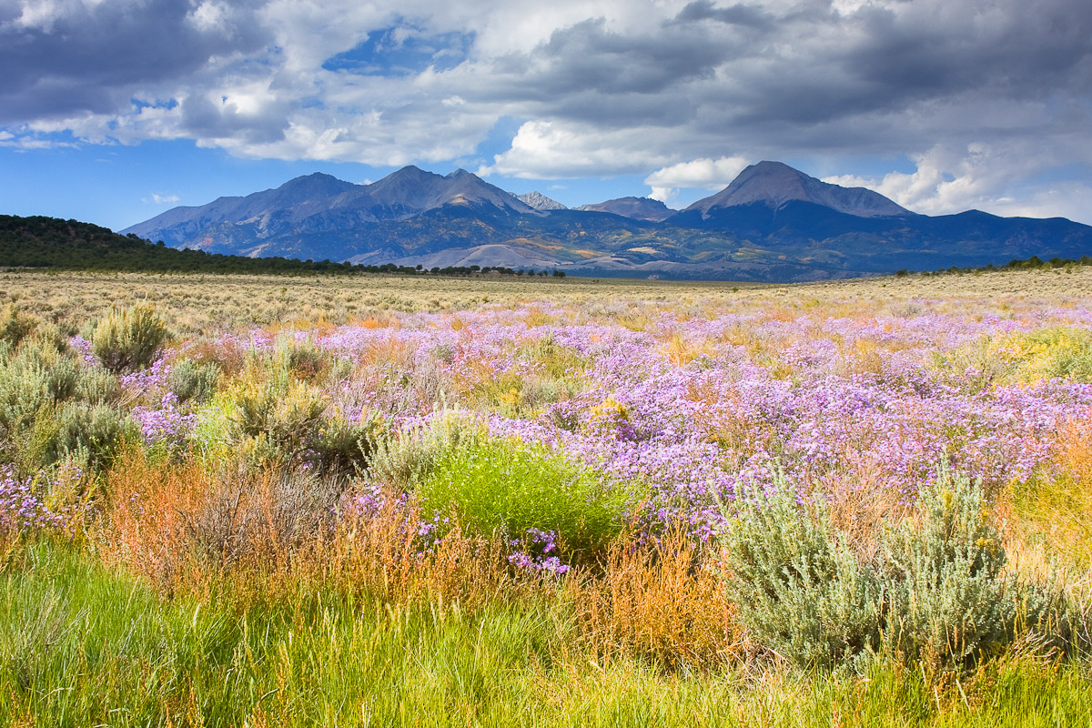
Rio Grande Scenic Railroad

Cliff Sunrise

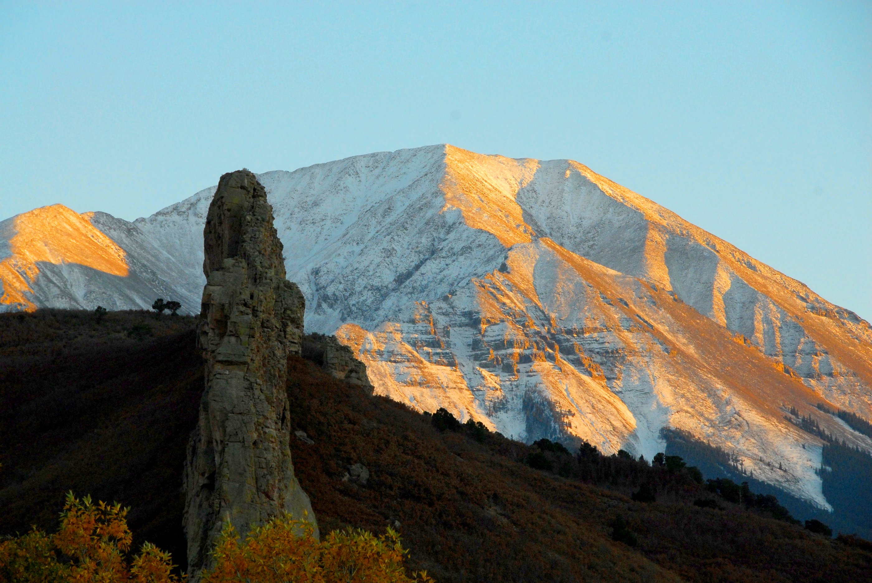
Main Cliff View

Colorado Gold_02
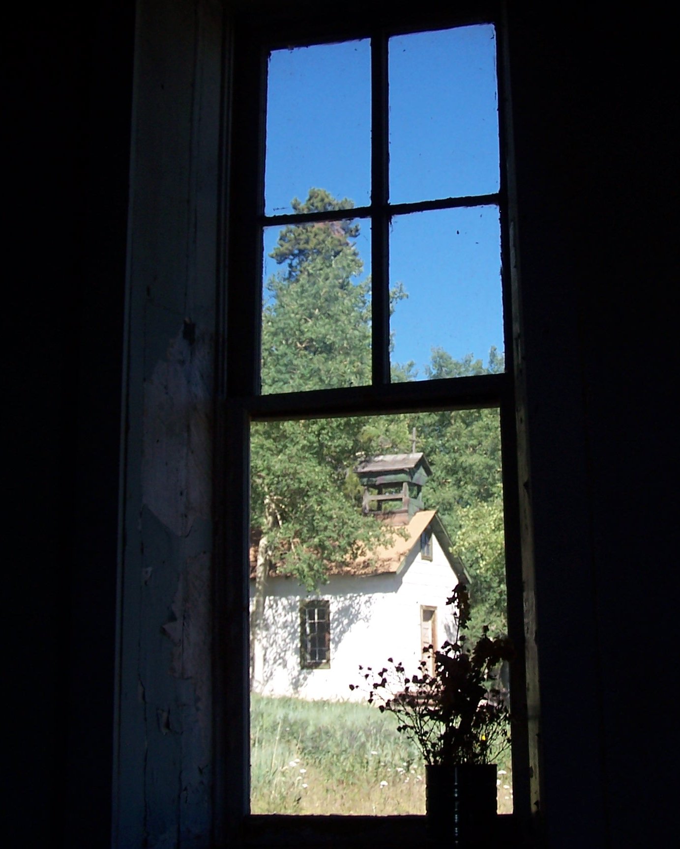
Depot View

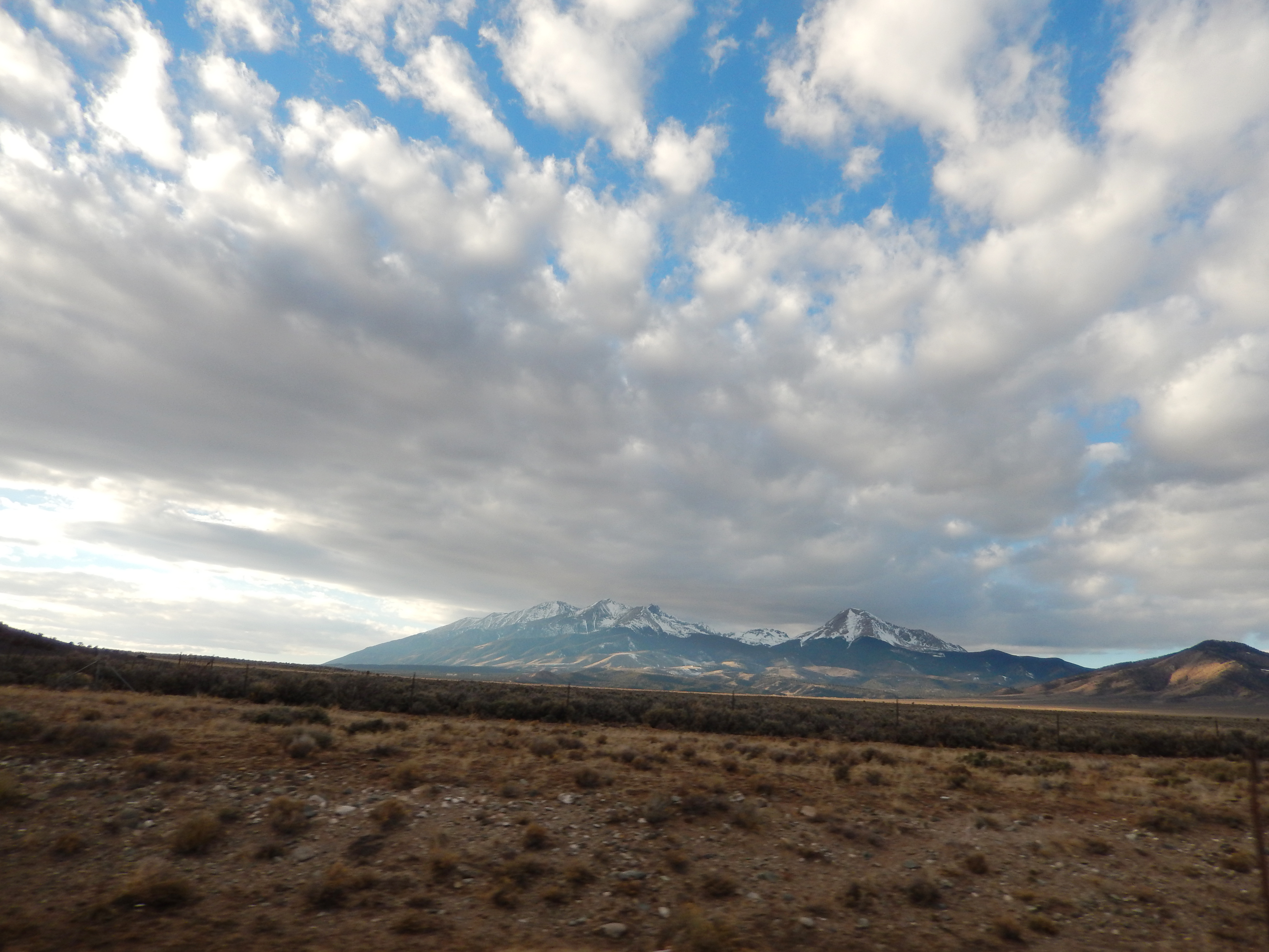
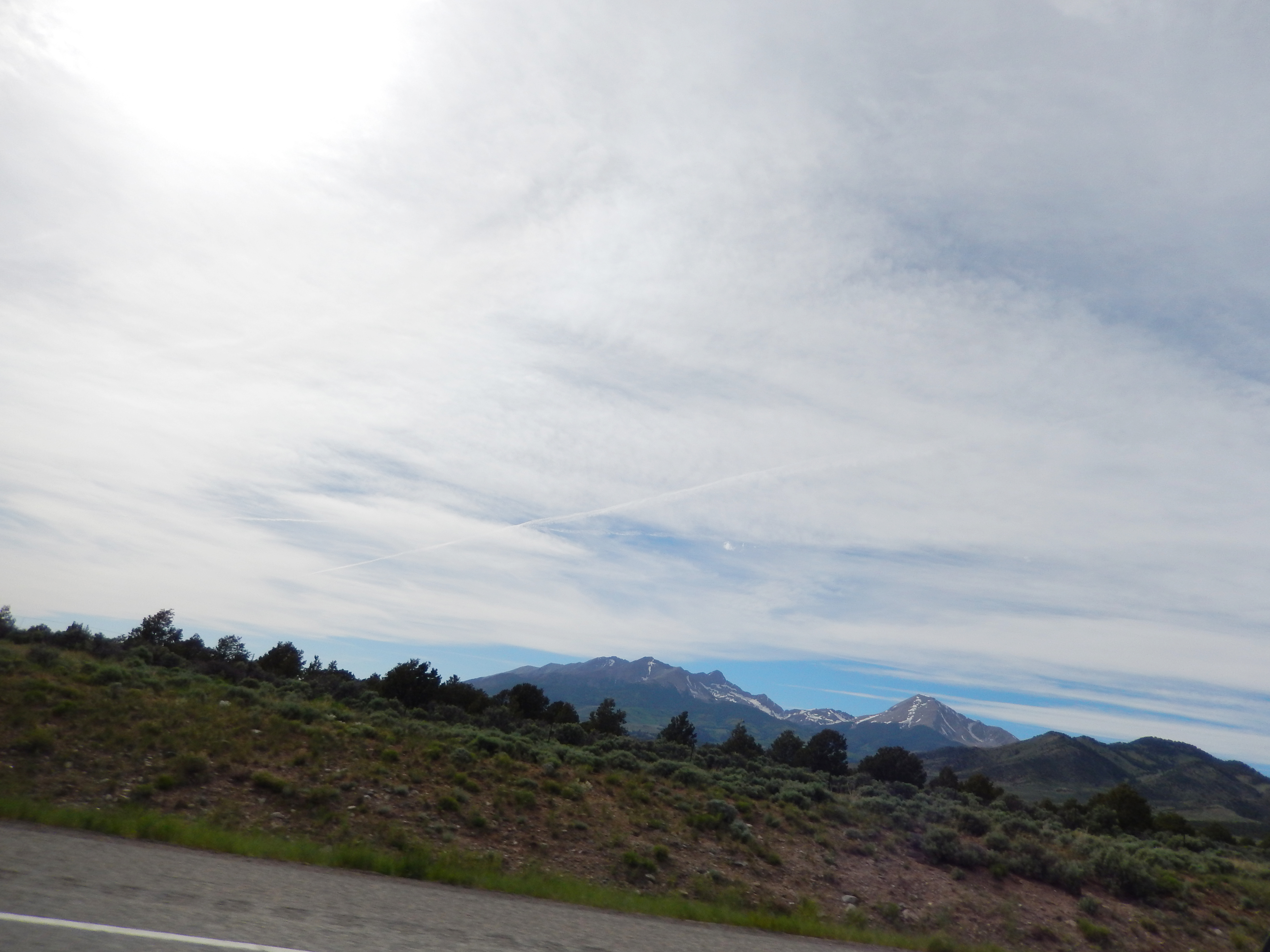
Mountain views

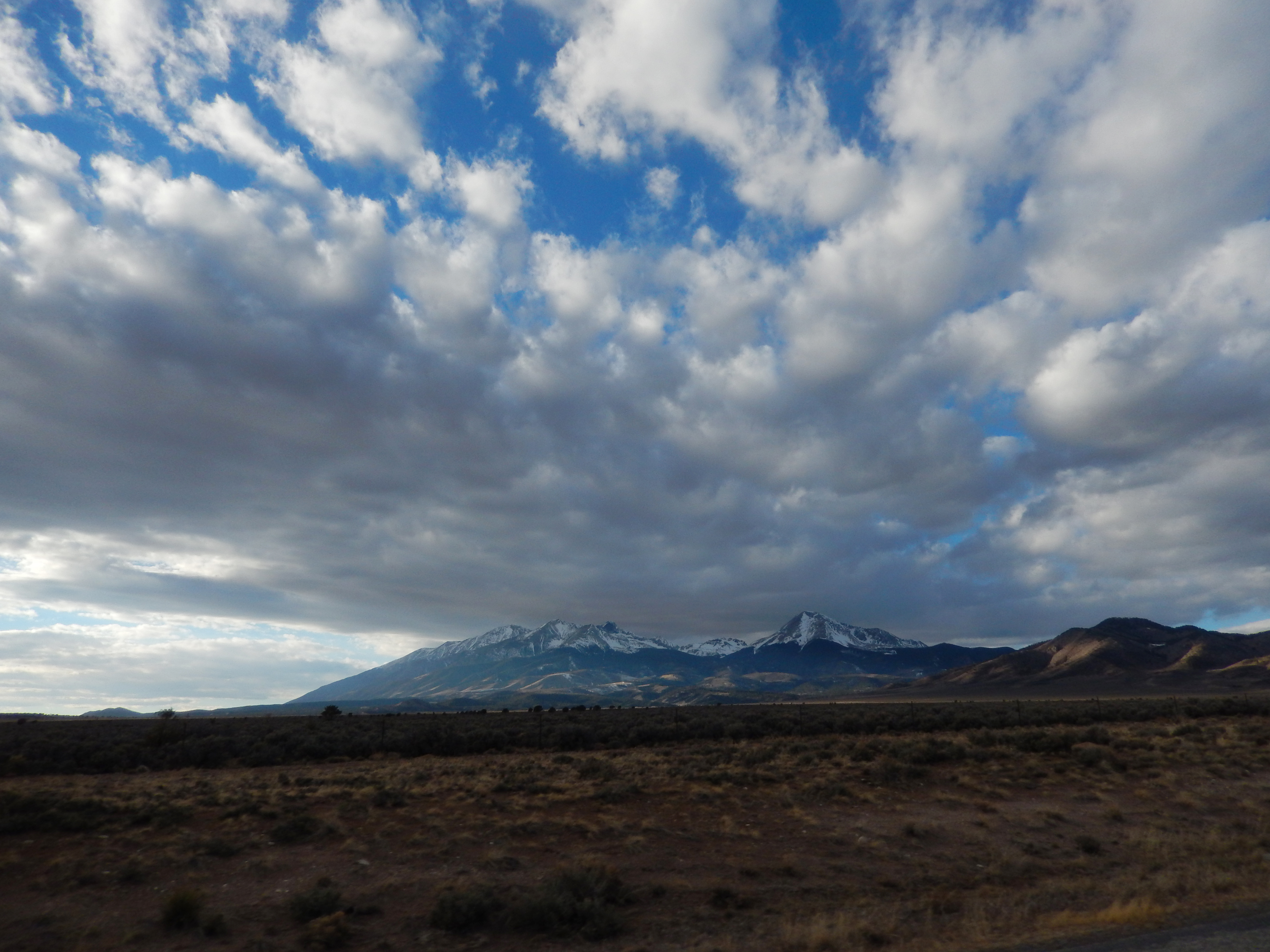
Mostly Cloudy

Cliff Mist

View to South

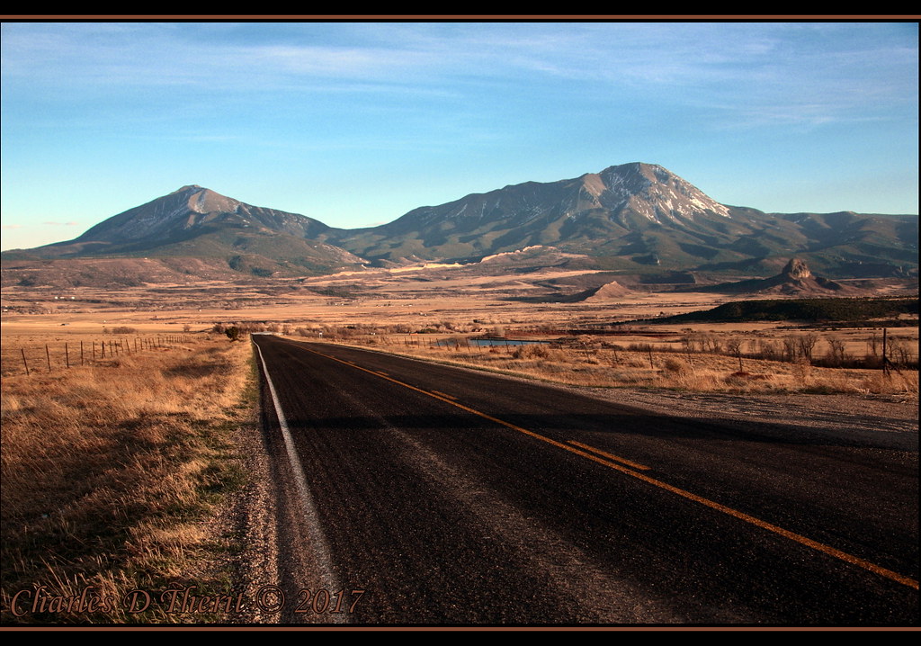
La Veta Pass, Colorado

Western view at sunrise
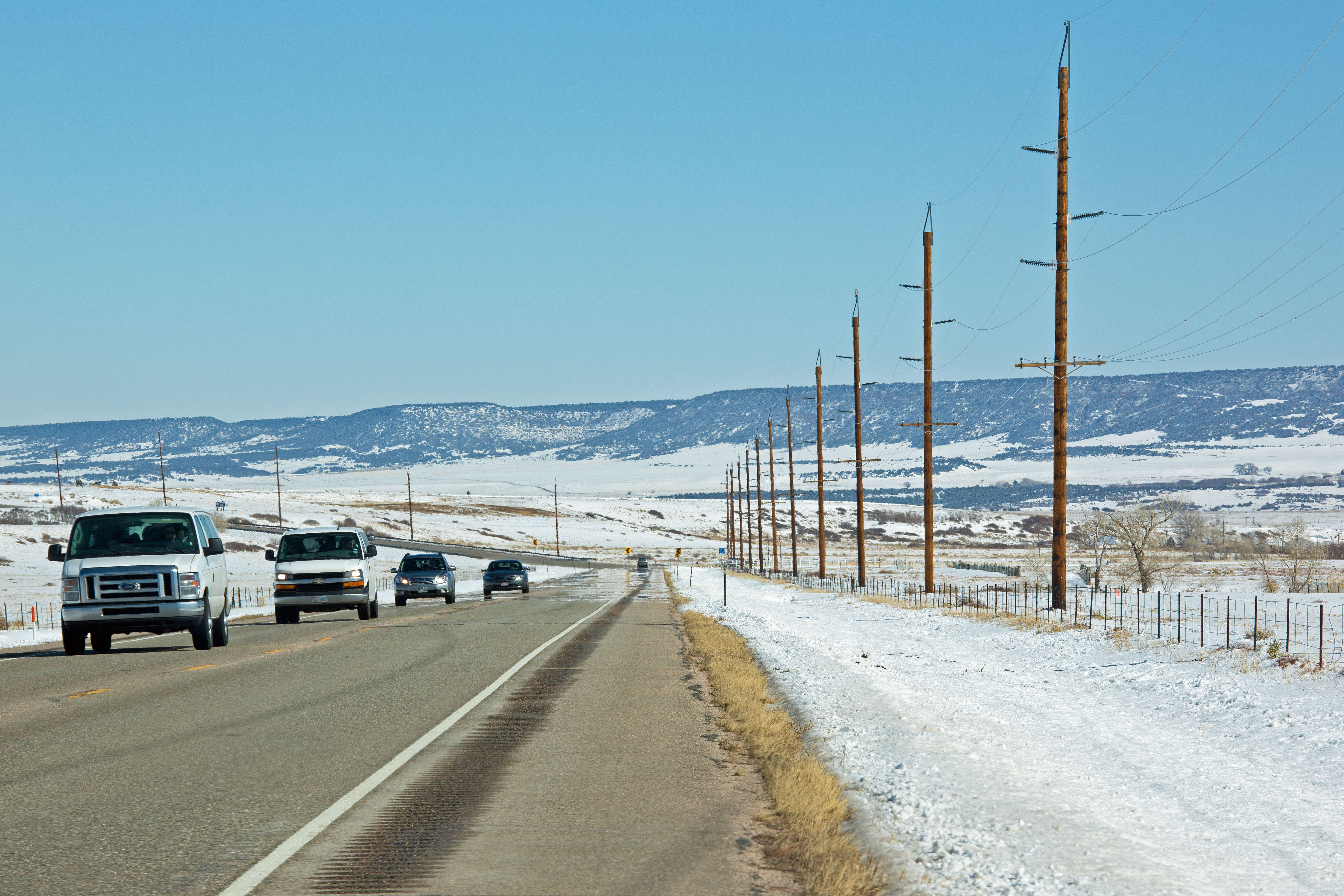
Route 160, Colorado
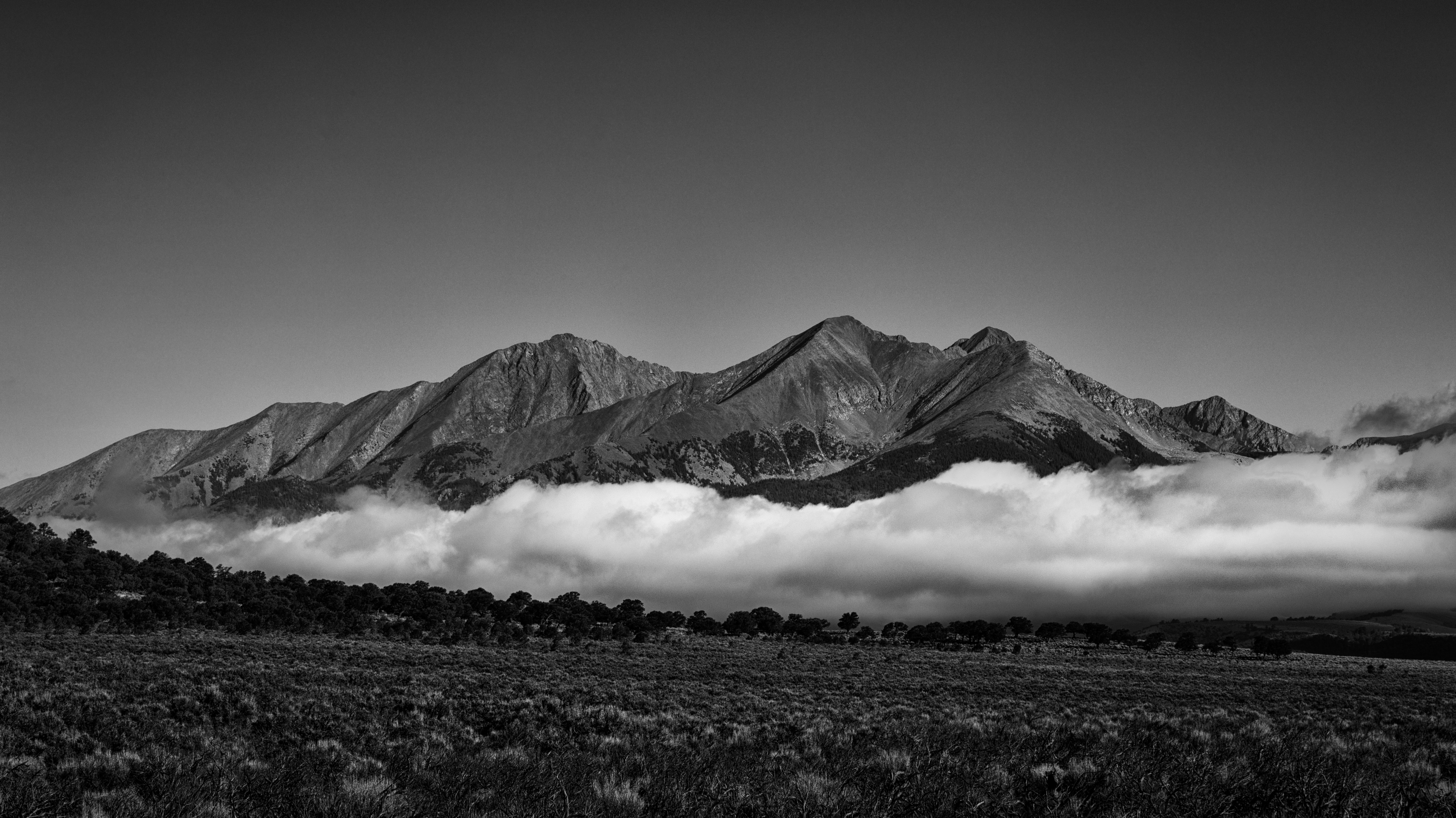
Mt Mestas, 11200 ft
Camera Roll-413
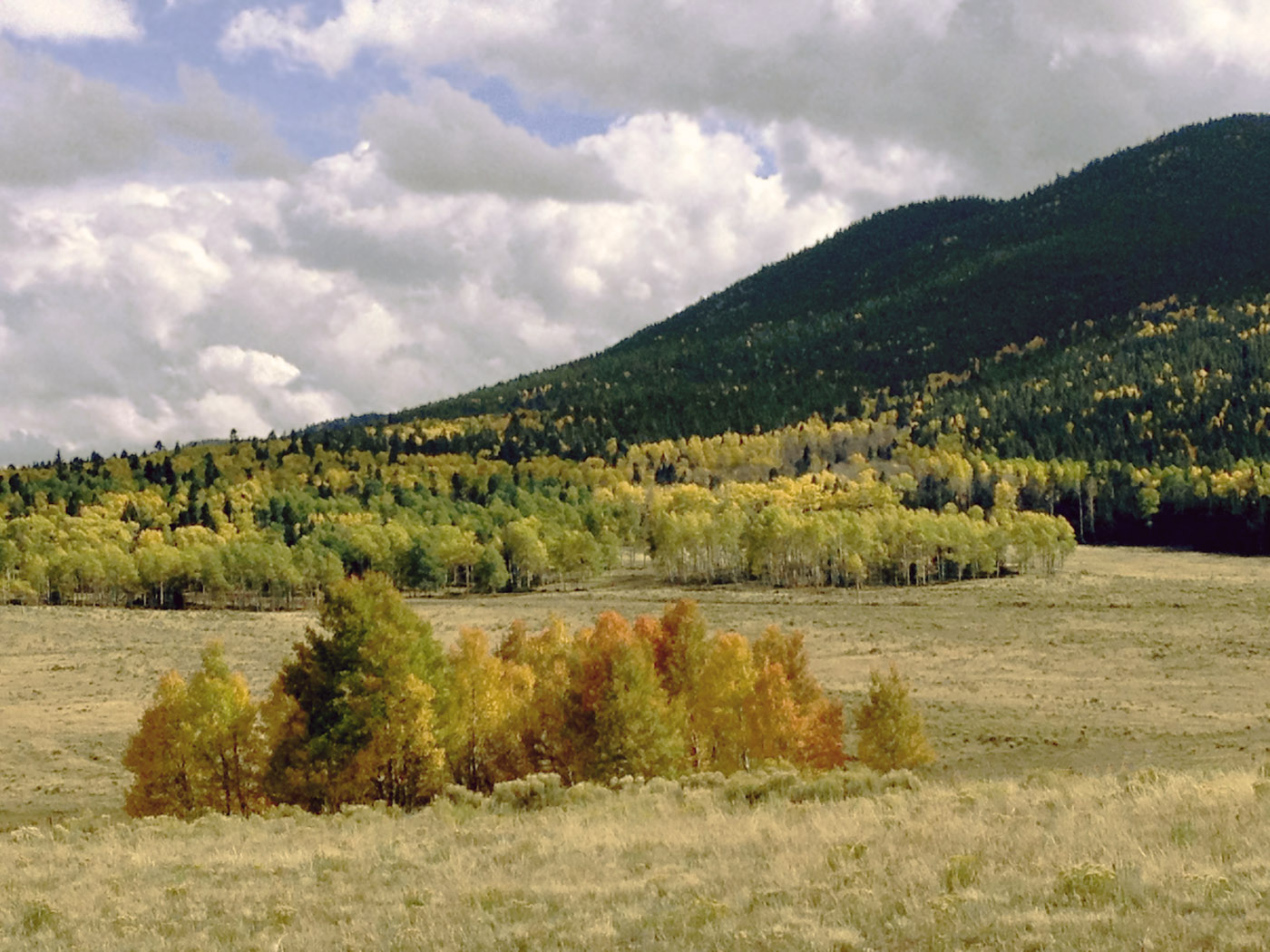
Colorado Color, Fall
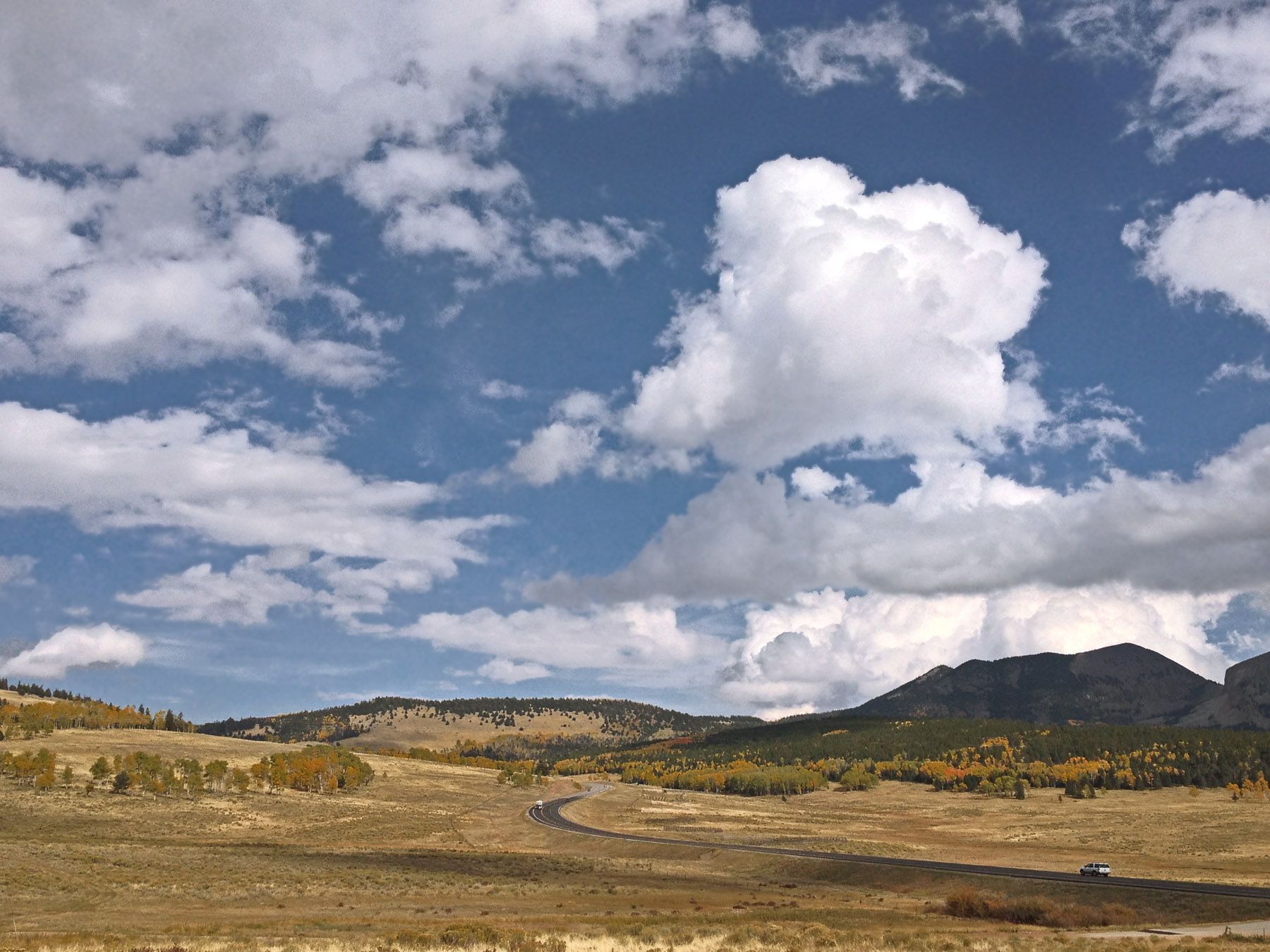
Descending La Veta Pass
Sunrise on the Sangres! #nofilterneeded #forbespark #sangredecristo #blancapeak #sunrise

ToTaosFeb25 2014 : DSCN8861
ToTaosFeb25 2014 : DSCN8861
TaosBoulderJune4-2014 : DSCN7900
ToTaosFeb25 2014 : DSCN8848
Dancing Fog
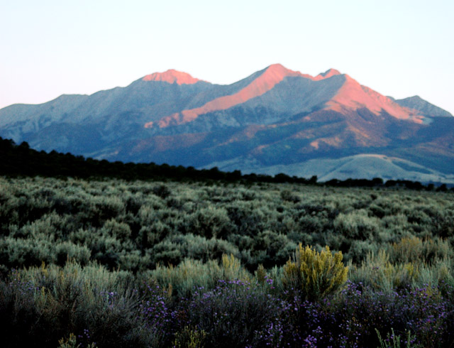
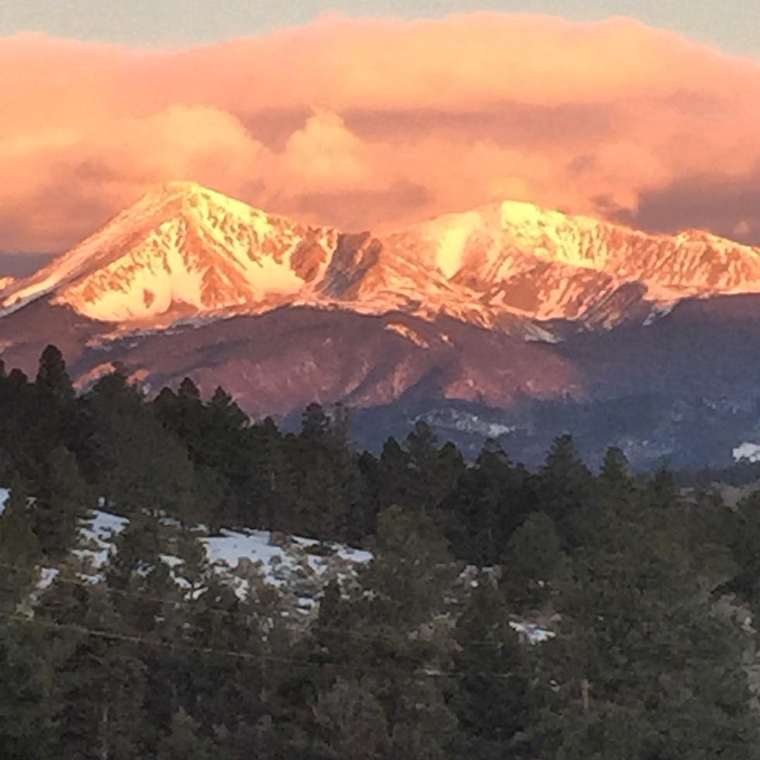
Mount Blanca Sunrise
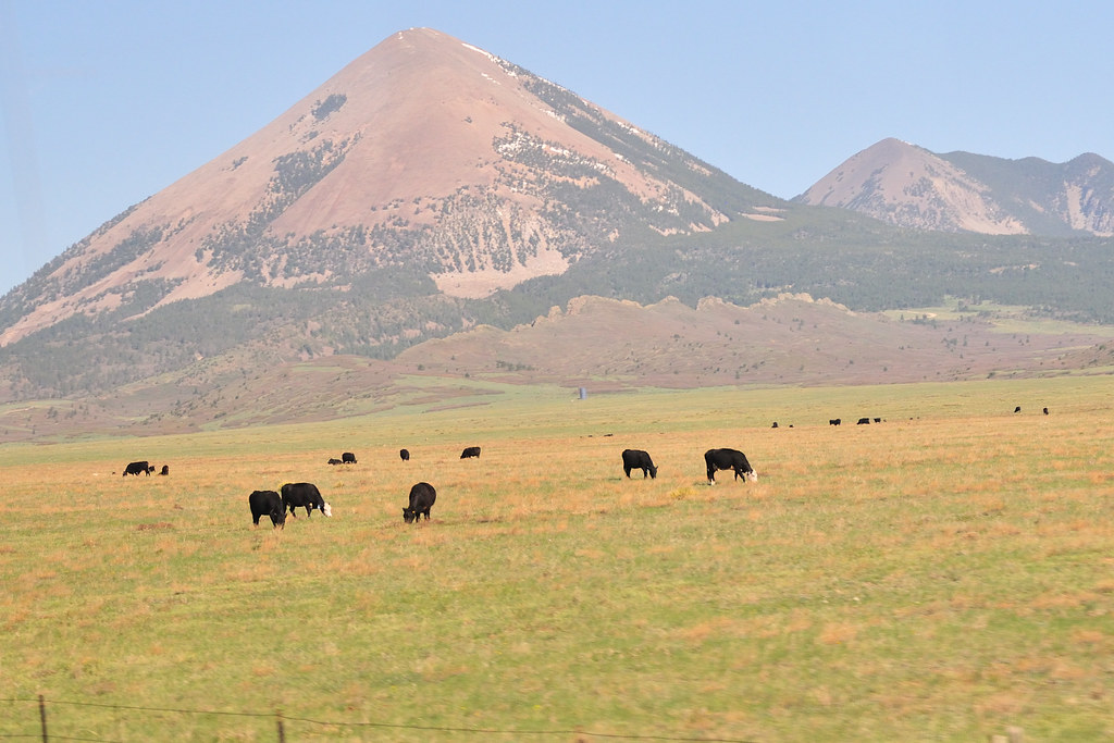
The Valley

West Spanish Peak
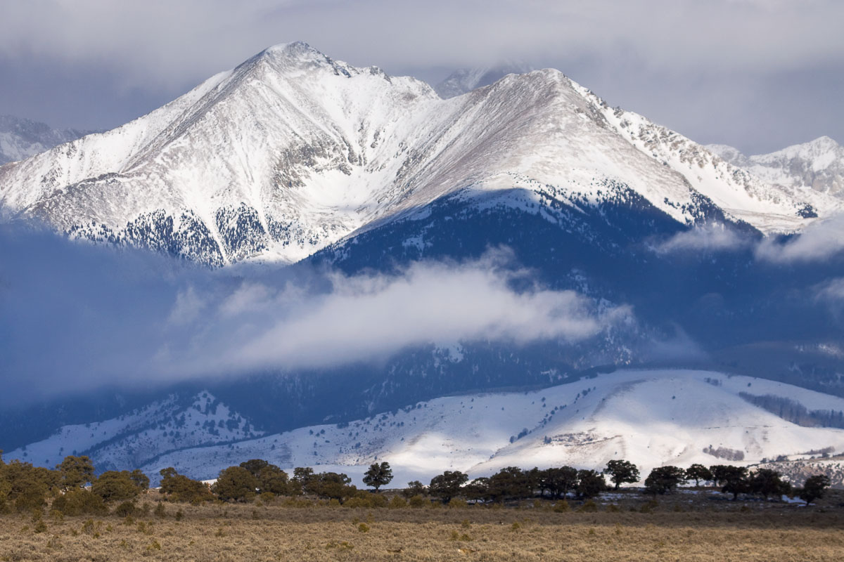
Winter without Winter
Blanca Peak, Extra Whip
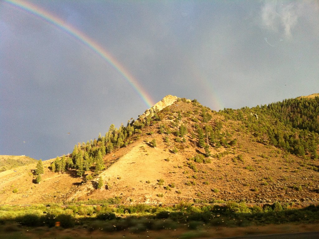
La Veta Pass and Skyscape

Goemmer Butte
West Peak Radiance

Profile Rock
Topographic Map of Madden Ln, Fort Garland, CO, USA
Find elevation by address:

Places near Madden Ln, Fort Garland, CO, USA:
1306 Hassan Ln
1306 Hassan Ln
1306 Hassan Ln
761 Messinger Pl
1708 Burgoyn Loop
1708 Burgoyn Loop
387 Powers Rd
426 Powers Rd
Biel Place
Strauss Drive
148 Blumenthal Pl
278 Borman Dr
30 Wagon Mesa Loop
4990 Co Rd 442
4990 Co Rd 442
2609 Waldron Ln
230 Tahmoush Ln
6867 Us-160
6867 Us-160
182 Lautenberg Dr
Recent Searches:
- Elevation of Corso Fratelli Cairoli, 35, Macerata MC, Italy
- Elevation of Tallevast Rd, Sarasota, FL, USA
- Elevation of 4th St E, Sonoma, CA, USA
- Elevation of Black Hollow Rd, Pennsdale, PA, USA
- Elevation of Oakland Ave, Williamsport, PA, USA
- Elevation of Pedrógão Grande, Portugal
- Elevation of Klee Dr, Martinsburg, WV, USA
- Elevation of Via Roma, Pieranica CR, Italy
- Elevation of Tavkvetili Mountain, Georgia
- Elevation of Hartfords Bluff Cir, Mt Pleasant, SC, USA