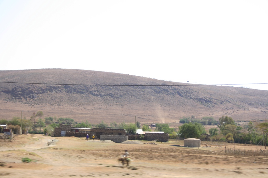
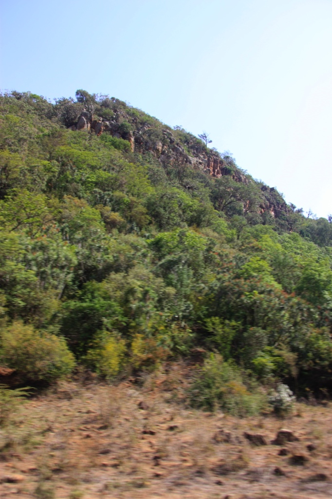
Elevation of Bungoma, Kenya
Location: Kenya > Bungoma County >
Longitude: 34.5583766
Latitude: 0.5695252
Elevation: 1441m / 4728feet
Barometric Pressure: 0KPa
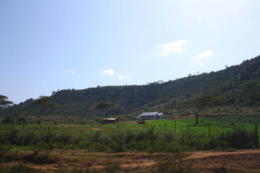
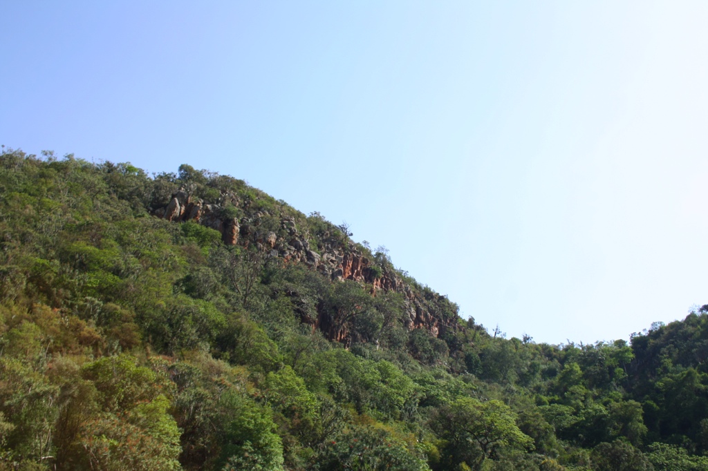
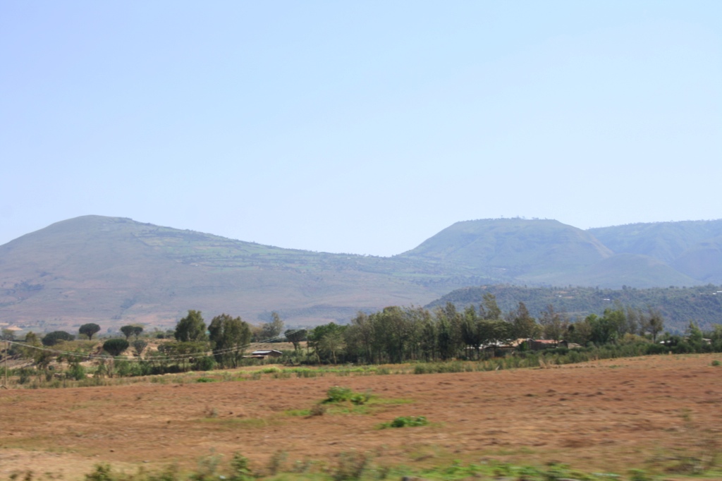
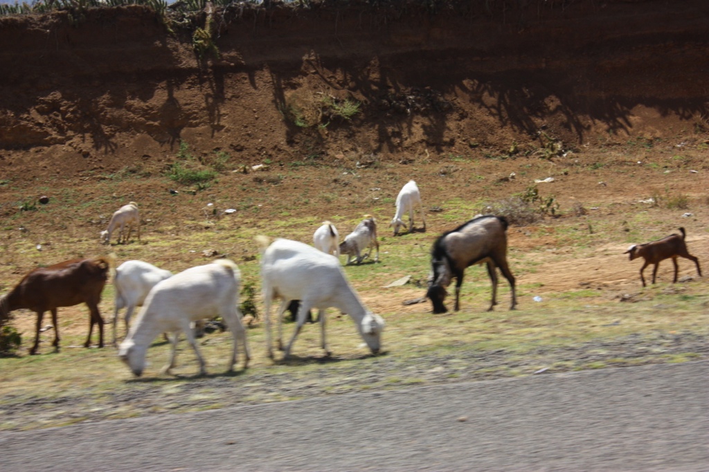
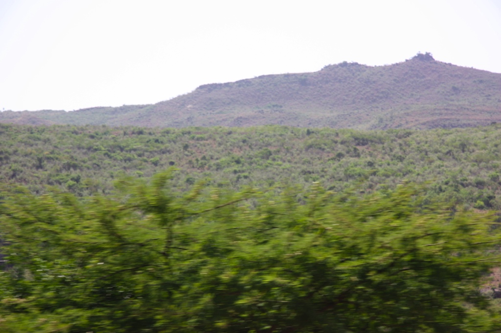
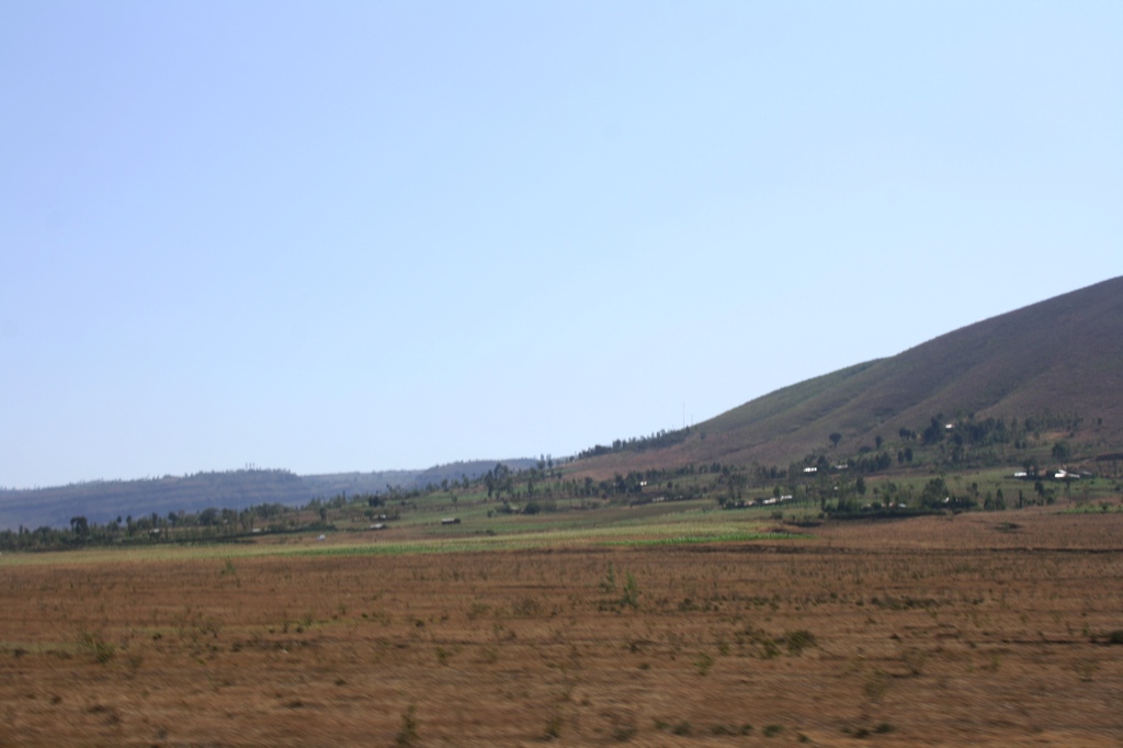
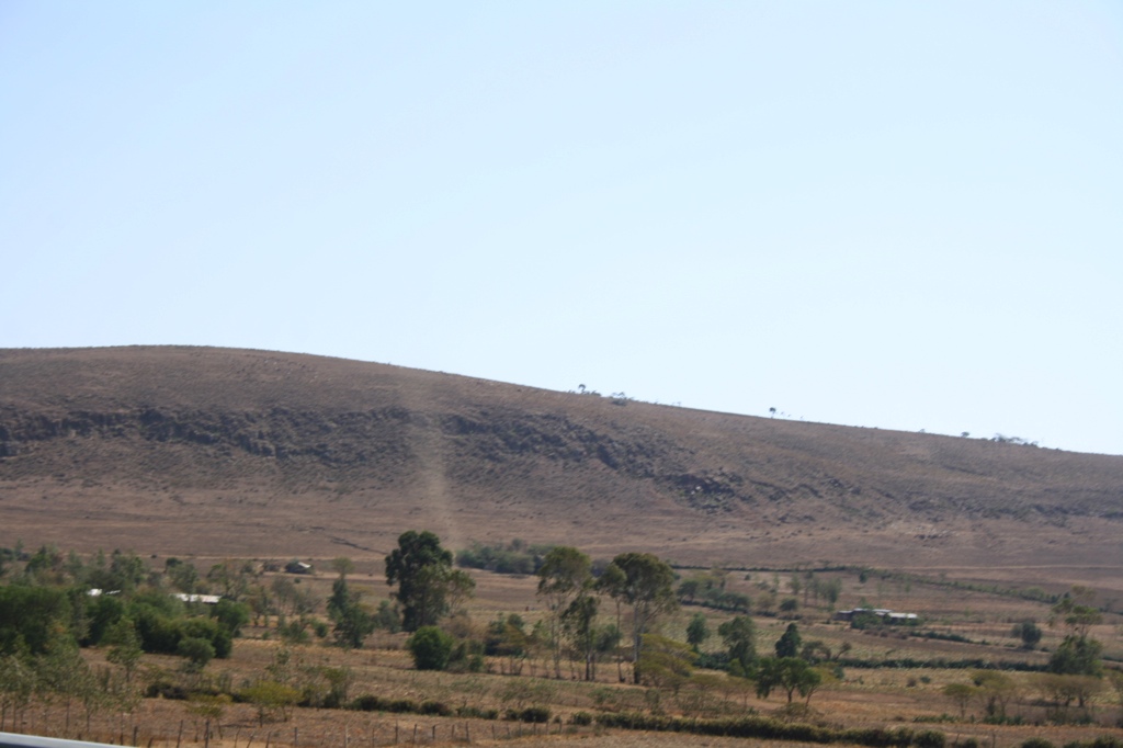
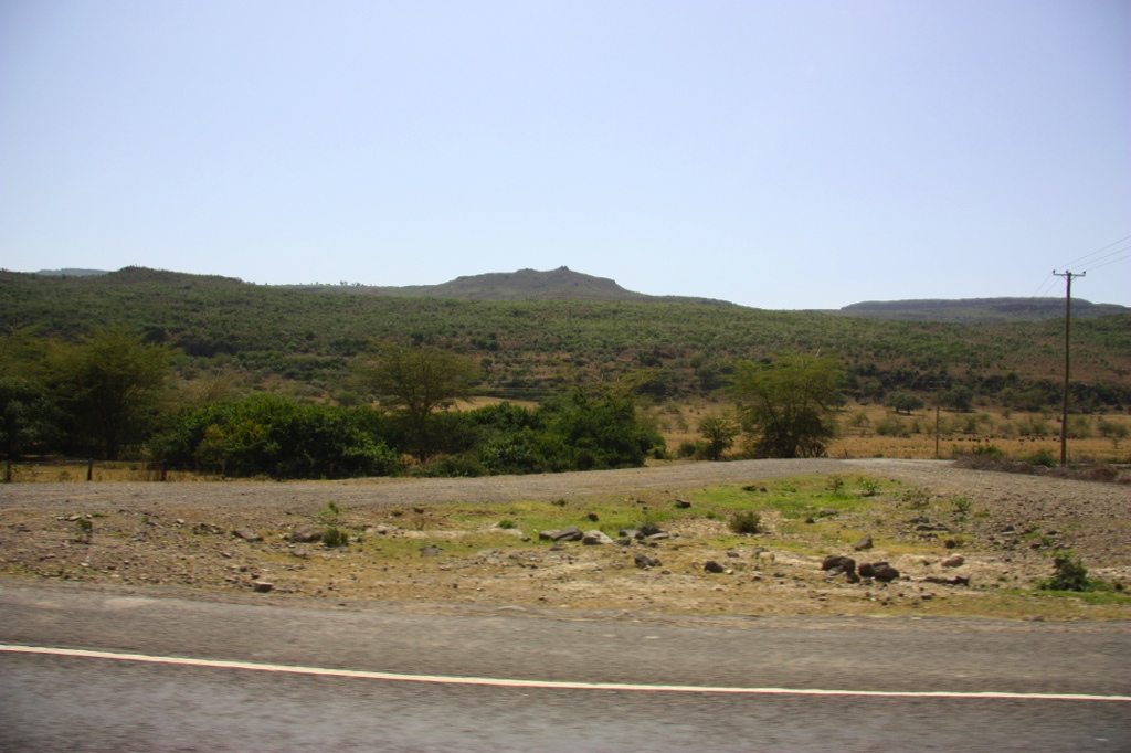
Related Photos:

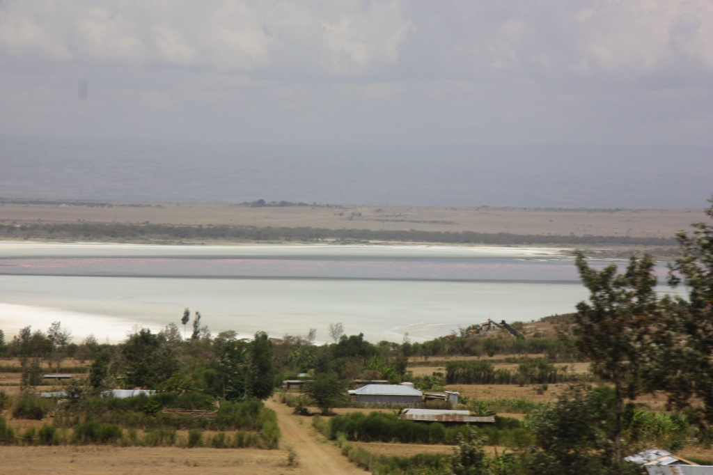
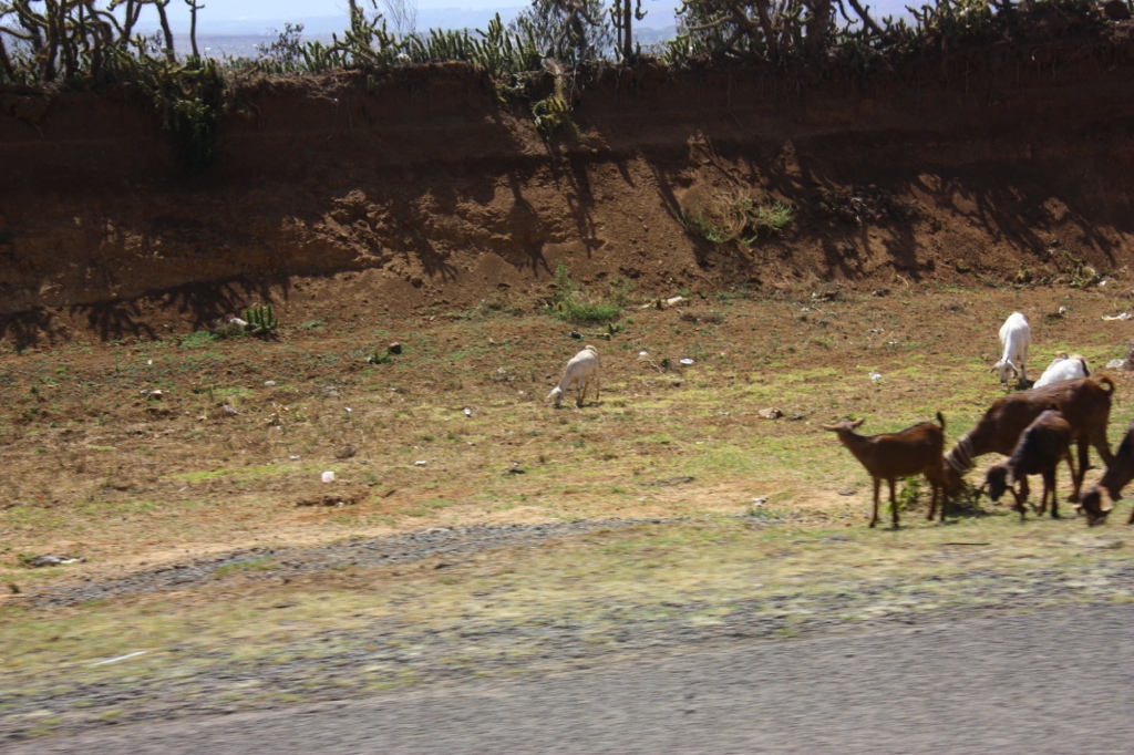
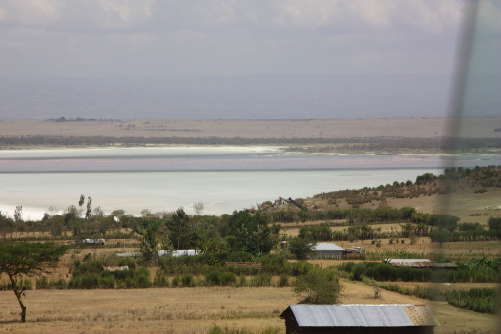
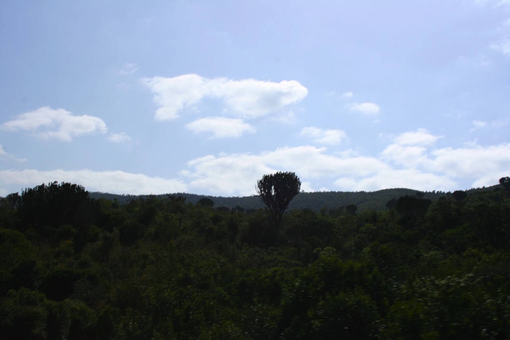
Homa Bay

IMG_8430.JPG
IMG_0890.JPG
IMG_0885.JPG
IMG_0889.JPG
IMG_8397.JPG
IMG_8400.JPG
IMG_8399.JPG
IMG_8409.JPG
IMG_0884.JPG
IMG_0896.JPG
IMG_8410.JPG
IMG_8411.JPG
IMG_0895.JPG
IMG_8412.JPG

IMG_8398.JPG
IMG_0871.jpg
Topographic Map of Bungoma, Kenya
Find elevation by address:

Places near Bungoma, Kenya:
Chwele
Webuye
Bungoma County
Adanya
Konna
Cheptais Town Centre
St. Mary Immaculate Shihome Primary School
Shianda
Lugulu
Lunza
Lunza Primary School
Busia County
Kakamega Town
Kakamega County
Kakamega
Igula Dispensary
Bubulo
Igula Deb Primary School
Bumala
Busekere Church Of Uganda
Recent Searches:
- Elevation of 24, Auburn Bay Crescent SE, Auburn Bay, Calgary, Alberta, T3M 0A6, Canada
- Elevation of Denver, 2314, Arapahoe Street, Five Points, Denver, Colorado, 80205, USA
- Elevation of Community of the Beatitudes, 2924, West 43rd Avenue, Sunnyside, Denver, Colorado, 80211, USA
- Elevation map of Litang County, Sichuan, China
- Elevation map of Madoi County, Qinghai, China
- Elevation of 3314, Ohio State Route 114, Payne, Paulding County, Ohio, 45880, USA
- Elevation of Sarahills Drive, Saratoga, Santa Clara County, California, 95070, USA
- Elevation of Town of Bombay, Franklin County, New York, USA
- Elevation of 9, Convent Lane, Center Moriches, Suffolk County, New York, 11934, USA
- Elevation of Saint Angelas Convent, 9, Convent Lane, Center Moriches, Suffolk County, New York, 11934, USA
- Elevation of 131st Street Southwest, Mukilteo, Snohomish County, Washington, 98275, USA
- Elevation of 304, Harrison Road, Naples, Cumberland County, Maine, 04055, USA
- Elevation of 2362, Timber Ridge Road, Harrisburg, Cabarrus County, North Carolina, 28075, USA
- Elevation of Ridge Road, Marshalltown, Marshall County, Iowa, 50158, USA
- Elevation of 2459, Misty Shadows Drive, Pigeon Forge, Sevier County, Tennessee, 37862, USA
- Elevation of 8043, Brightwater Way, Spring Hill, Williamson County, Tennessee, 37179, USA
- Elevation of Starkweather Road, San Luis, Costilla County, Colorado, 81152, USA
- Elevation of 5277, Woodside Drive, Baton Rouge, East Baton Rouge Parish, Louisiana, 70808, USA
- Elevation of 1139, Curtin Street, Shepherd Park Plaza, Houston, Harris County, Texas, 77018, USA
- Elevation of 136, Sellers Lane, Repton, Monroe County, Alabama, 36475, USA