Elevation of Bullpasture River Rd, McDowell, VA, USA
Location: United States > Virginia > Highland County > Mcdowell >
Longitude: -79.5690353
Latitude: 38.2347899
Elevation: 678m / 2224feet
Barometric Pressure: 0KPa
Related Photos:
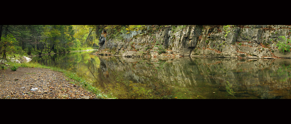
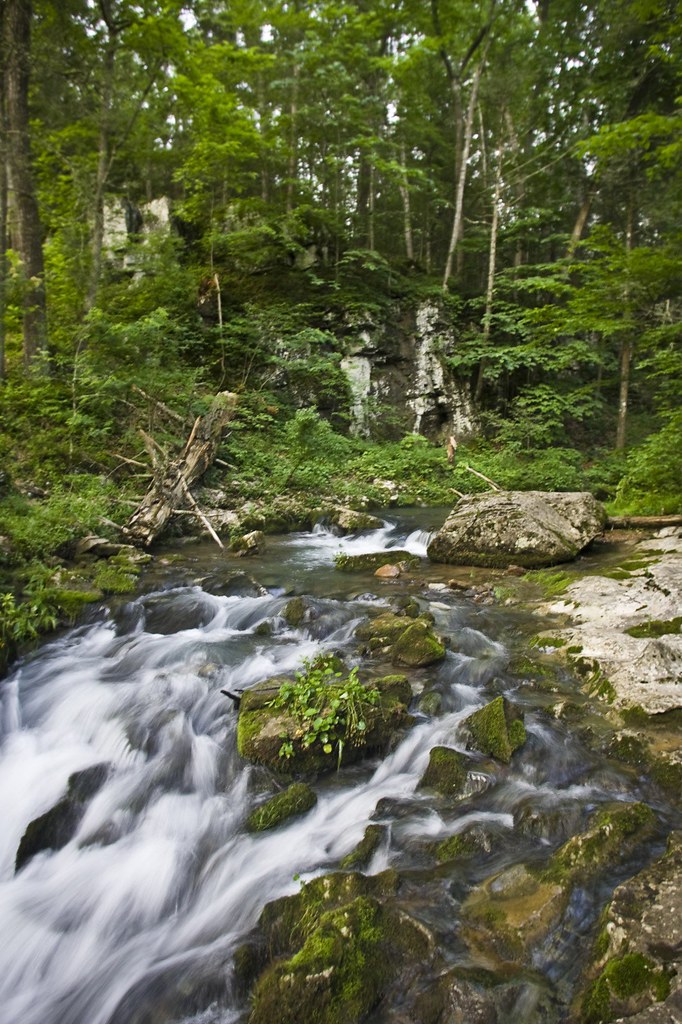
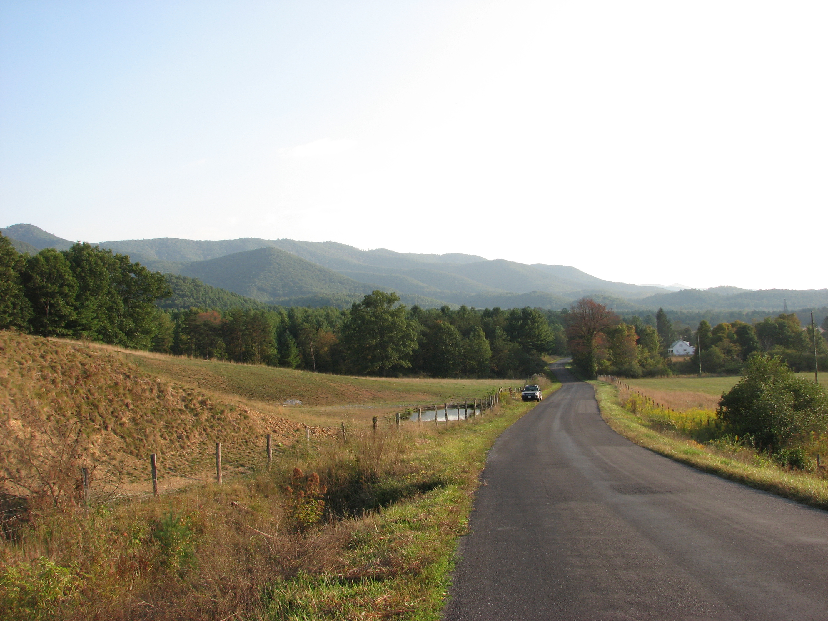
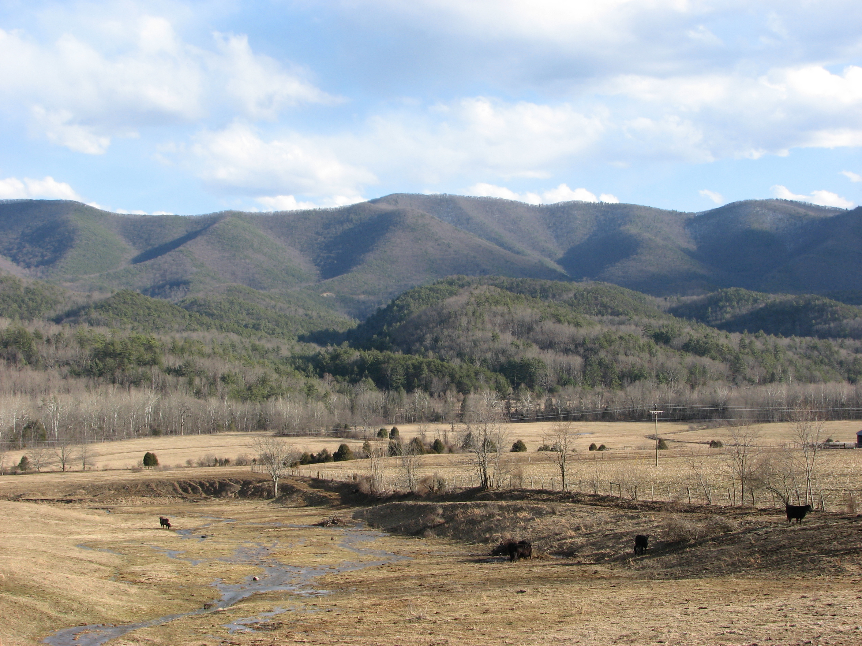
Bullpasture River Panorama
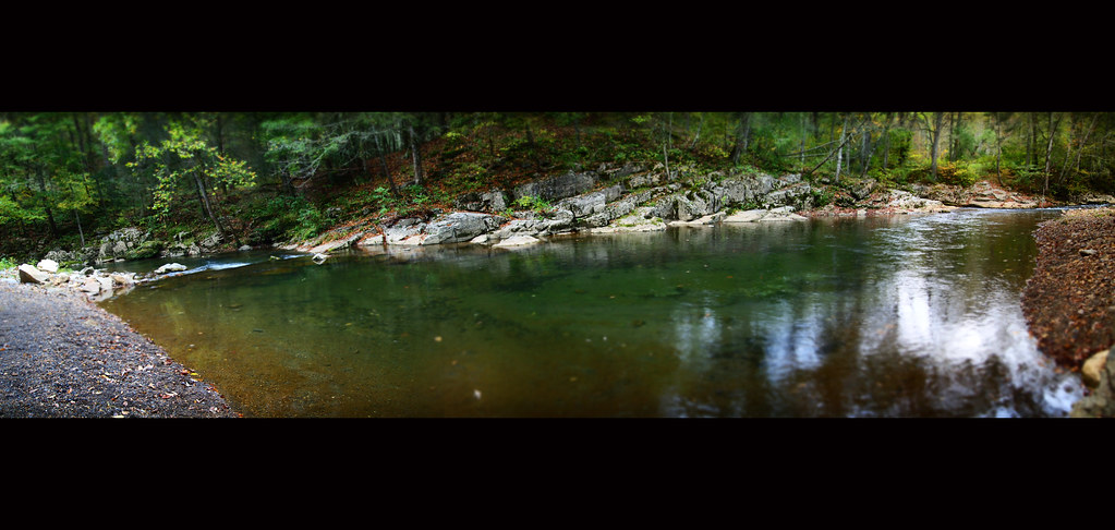
Bullpasture River Diorama Panorama

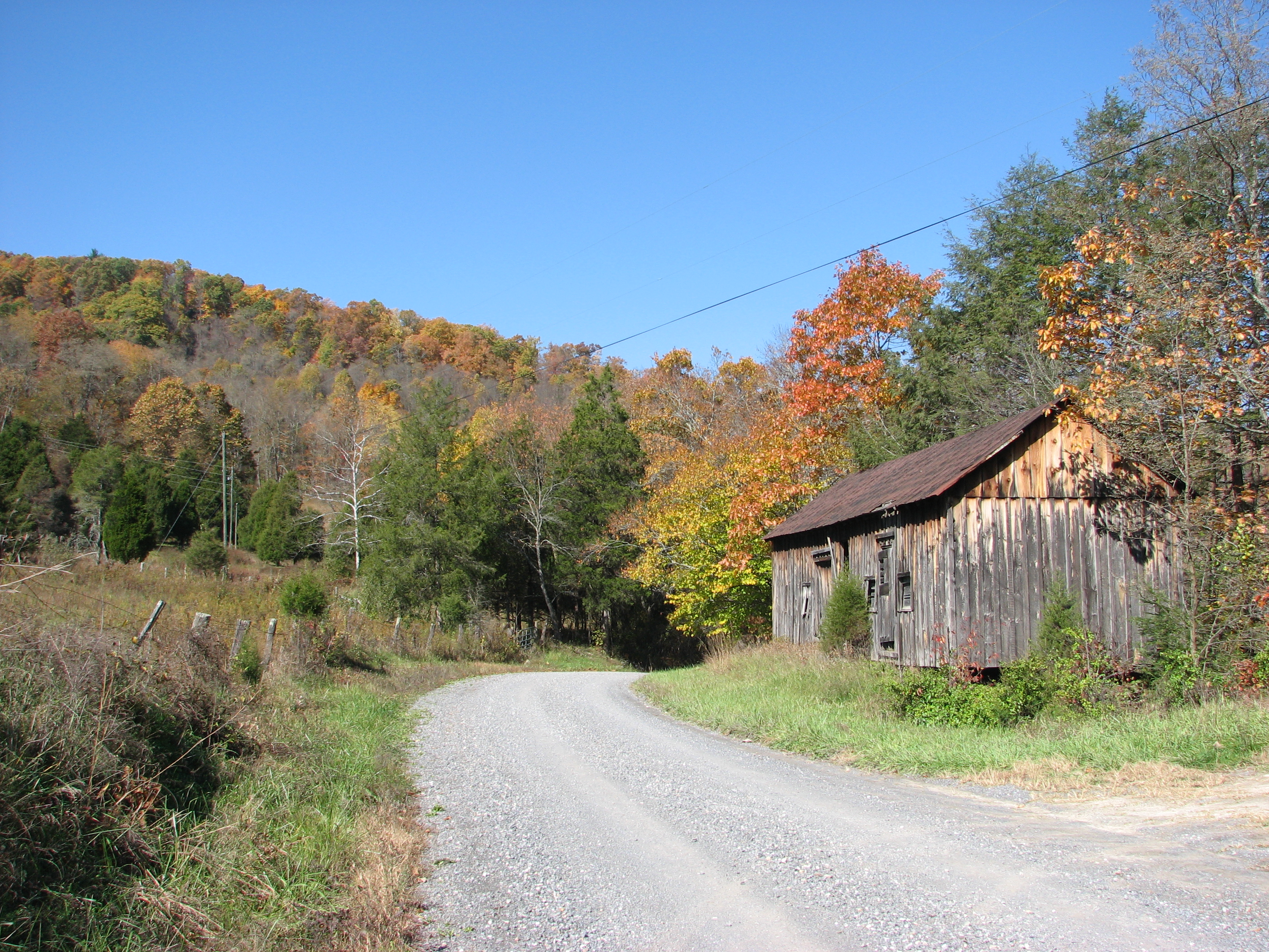
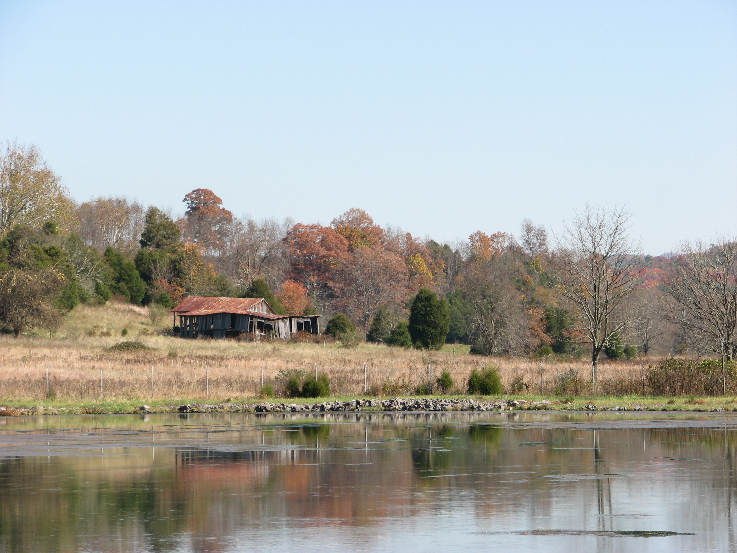
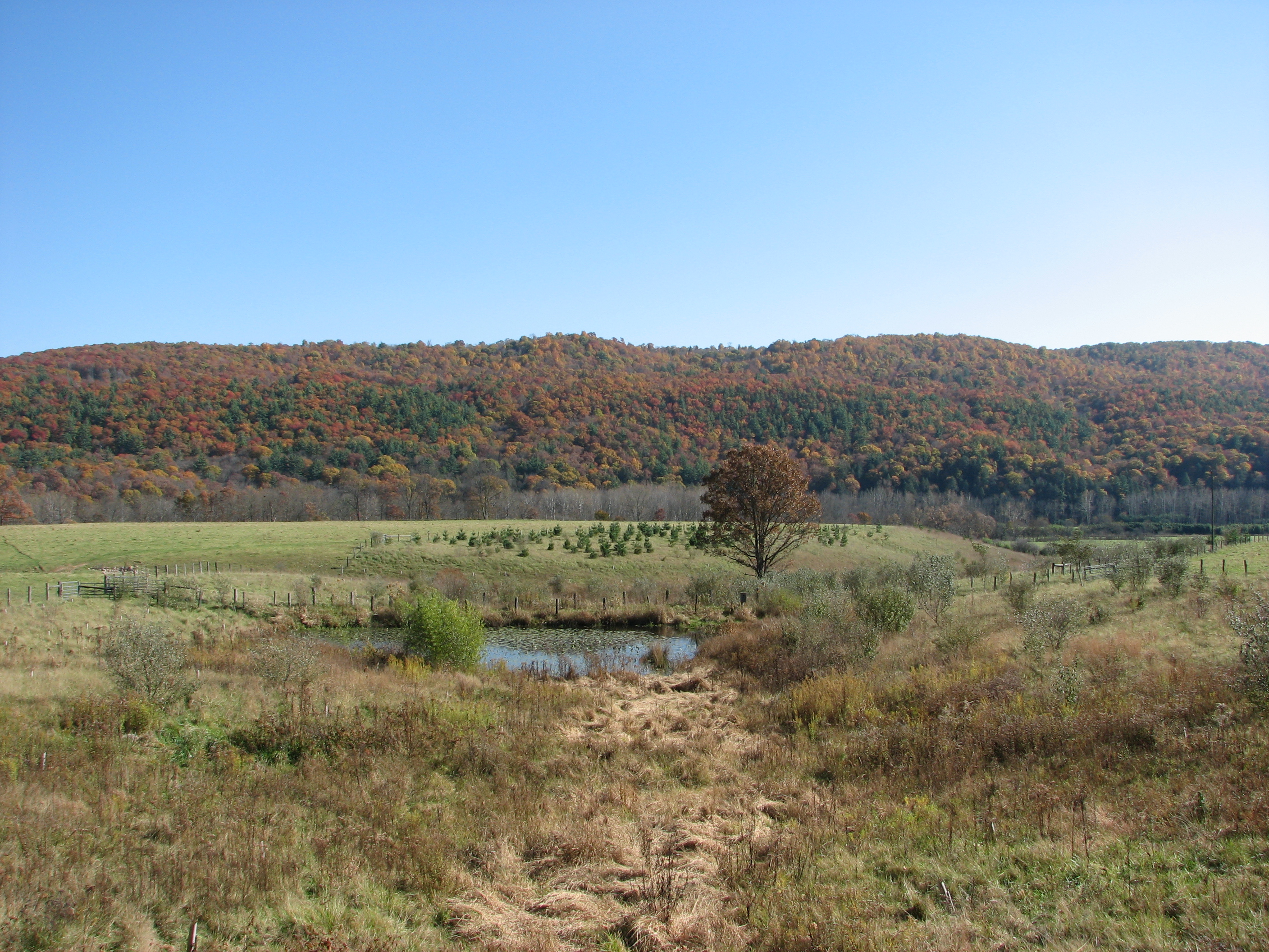
Red Barn in the Fall
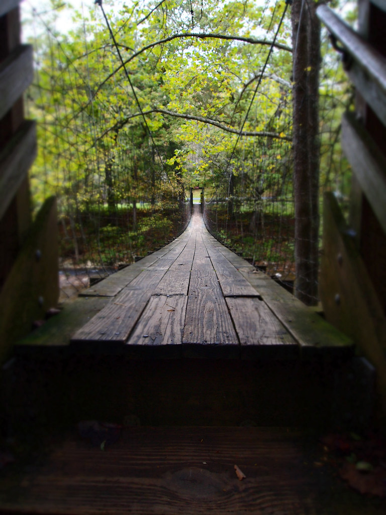
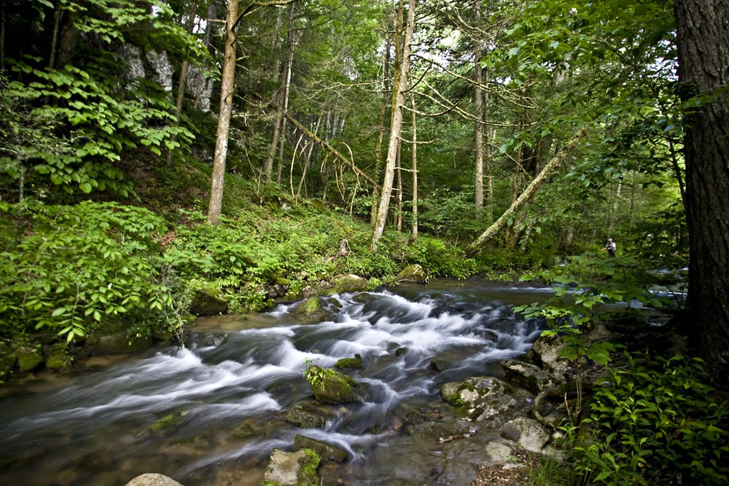
The Bullpasture River Gorge Footbridge

Highland County Museum
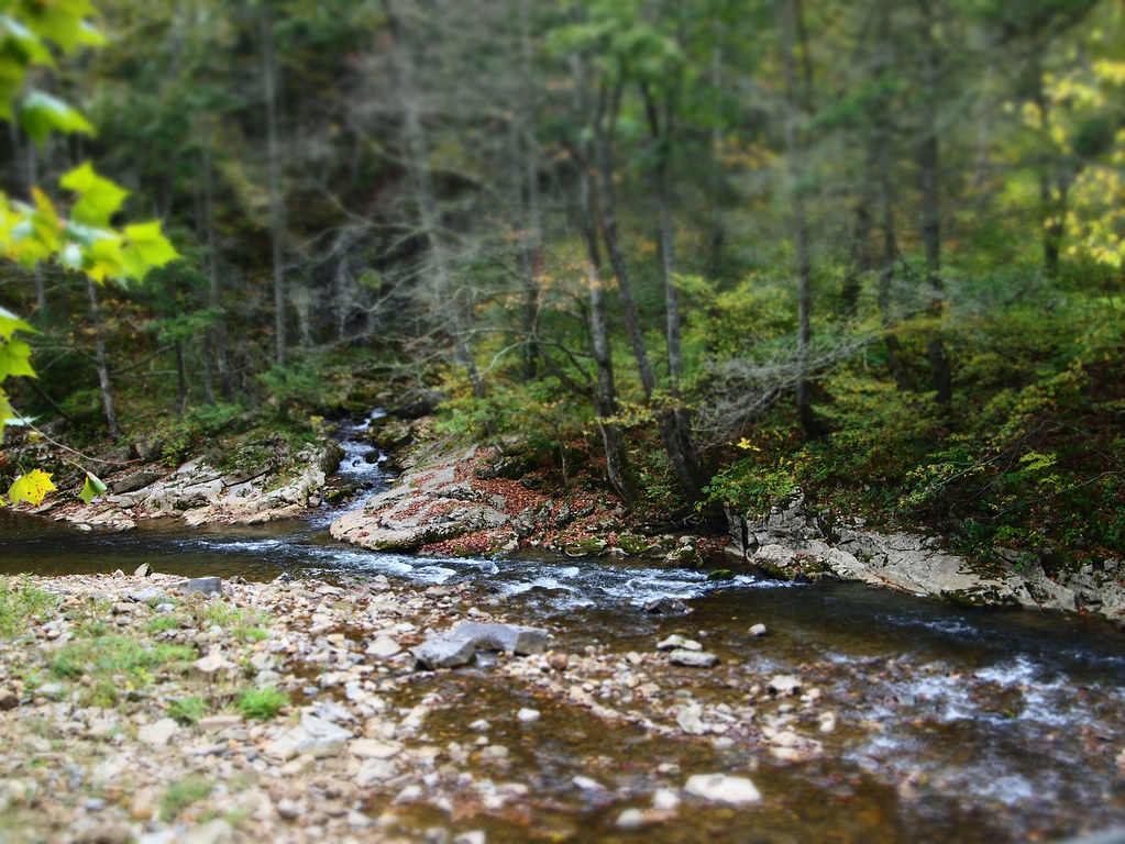
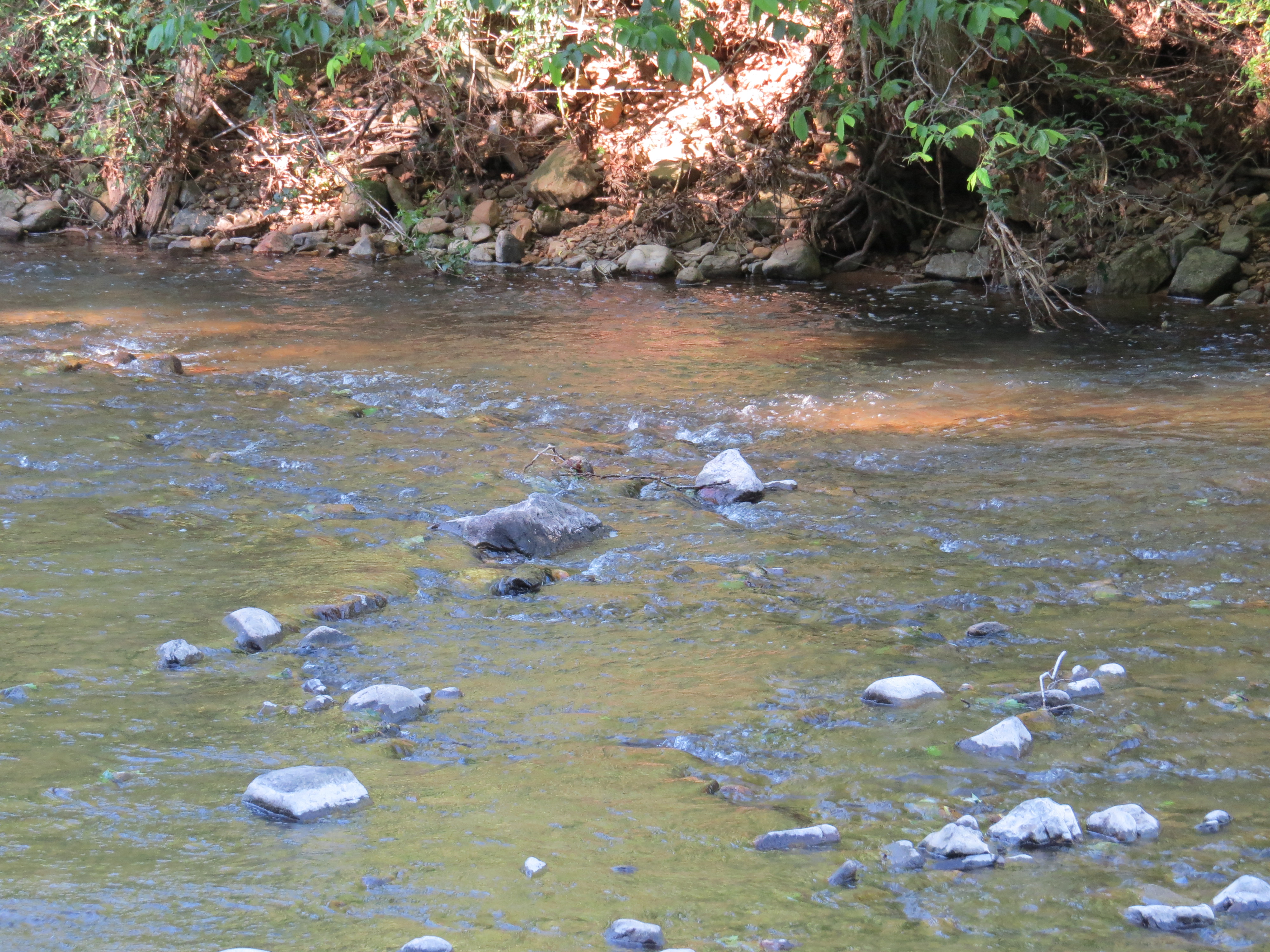
Bullpasture River

Sugar Tree Country Store
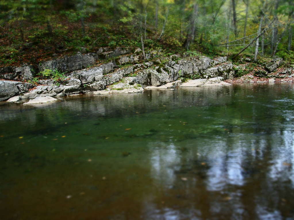
Bullpasture River

The Ranch
September 18, 2012-IMG_8020

September 18, 2012-IMG_8090
HM8G3969.jpg
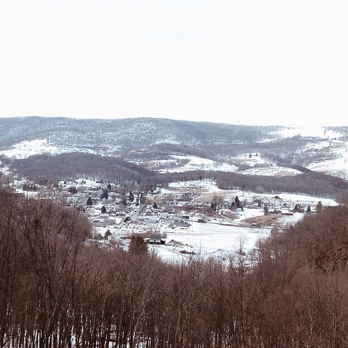
Good news, the mountains are still here. #appalachia #lookingatappalachia #snow #landscape #monterey #virginia
HM8G3961.jpg
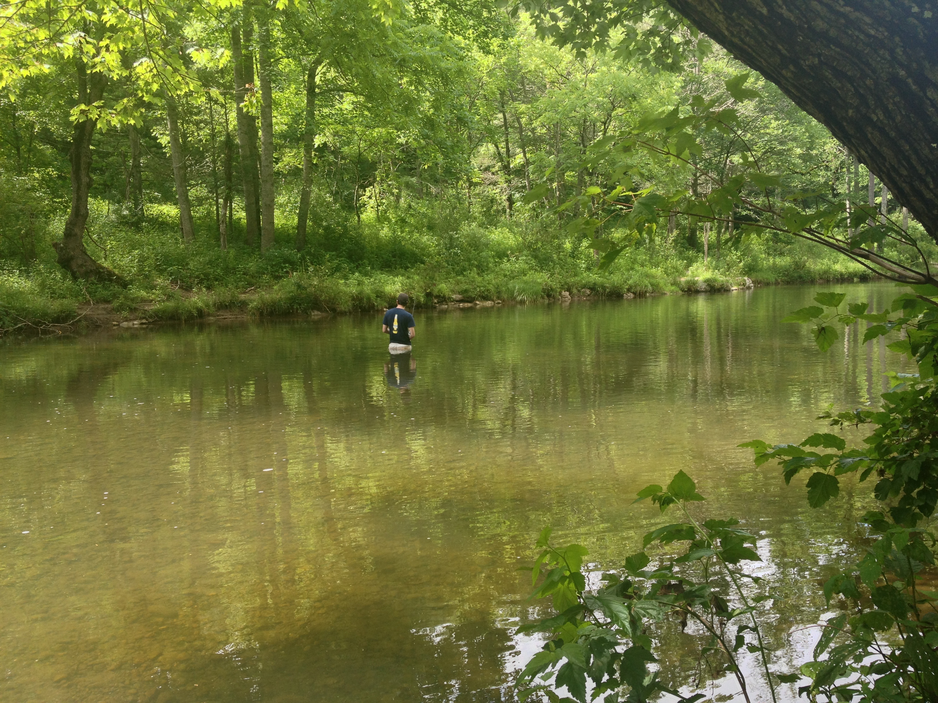
Severin fishing

Winter Stream II

IMG_2649.JPG
Jackson River
IMG_2663.JPG
IMG_1201.JPG
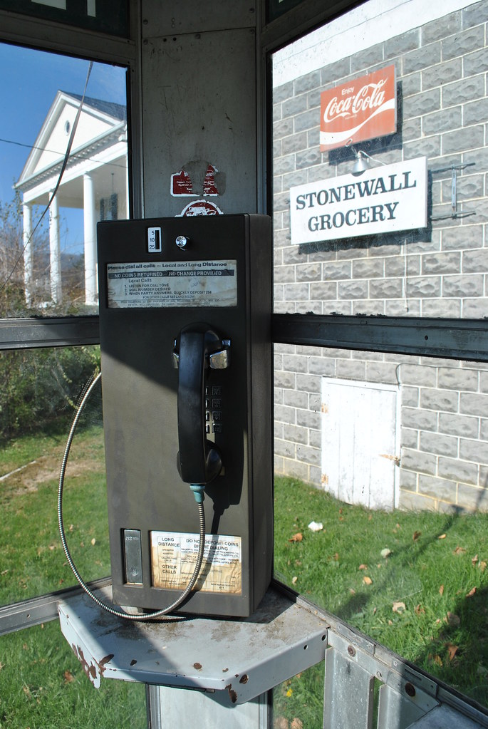
TELEPHONE BOOTH
IMG_2666.JPG
IMG_2651.JPG
IMG_4820.JPG
IMG_2704.JPG
Topographic Map of Bullpasture River Rd, McDowell, VA, USA
Find elevation by address:

Places near Bullpasture River Rd, McDowell, VA, USA:
Williamsville
16337 Indian Draft Rd
538 Peaceful Valley Dr
538 Peaceful Valley Dr
Coursey Springs Fish Cultural Station
337 Carpenters Ln
16338 Indian Draft Rd
Williamsville
Burnsville
Dry Run Rd, Williamsville, VA, USA
8422 Big Valley Rd
124 Whispering Pine Rd
Mustoe
Bertie Lane
603 Old Plantation Way
13954 Deerfield Rd
Fort Lewis Lodge & Farm
Mcdowell
Deerfield Road
265 Bear Rock Ridge Rd
Recent Searches:
- Elevation map of Greenland, Greenland
- Elevation of Sullivan Hill, New York, New York, 10002, USA
- Elevation of Morehead Road, Withrow Downs, Charlotte, Mecklenburg County, North Carolina, 28262, USA
- Elevation of 2800, Morehead Road, Withrow Downs, Charlotte, Mecklenburg County, North Carolina, 28262, USA
- Elevation of Yangbi Yi Autonomous County, Yunnan, China
- Elevation of Pingpo, Yangbi Yi Autonomous County, Yunnan, China
- Elevation of Mount Malong, Pingpo, Yangbi Yi Autonomous County, Yunnan, China
- Elevation map of Yongping County, Yunnan, China
- Elevation of North 8th Street, Palatka, Putnam County, Florida, 32177, USA
- Elevation of 107, Big Apple Road, East Palatka, Putnam County, Florida, 32131, USA
- Elevation of Jiezi, Chongzhou City, Sichuan, China
- Elevation of Chongzhou City, Sichuan, China
- Elevation of Huaiyuan, Chongzhou City, Sichuan, China
- Elevation of Qingxia, Chengdu, Sichuan, China
- Elevation of Corso Fratelli Cairoli, 35, Macerata MC, Italy
- Elevation of Tallevast Rd, Sarasota, FL, USA
- Elevation of 4th St E, Sonoma, CA, USA
- Elevation of Black Hollow Rd, Pennsdale, PA, USA
- Elevation of Oakland Ave, Williamsport, PA, USA
- Elevation of Pedrógão Grande, Portugal