Elevation of McDowell, VA, USA
Location: United States > Virginia > Highland County >
Longitude: -79.490599
Latitude: 38.3356787
Elevation: 643m / 2110feet
Barometric Pressure: 94KPa
Elevation Map:
Satellite Map:
Related Photos:
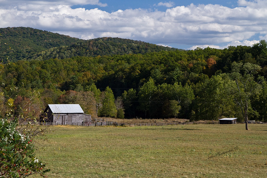
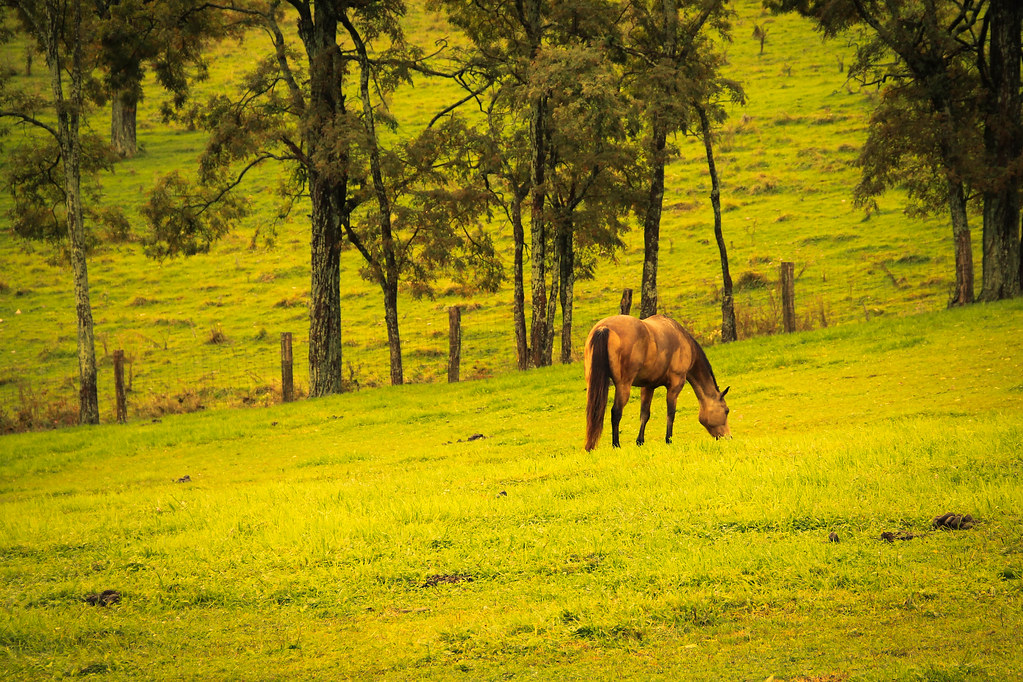
Highland Farm

Rainbow Trout

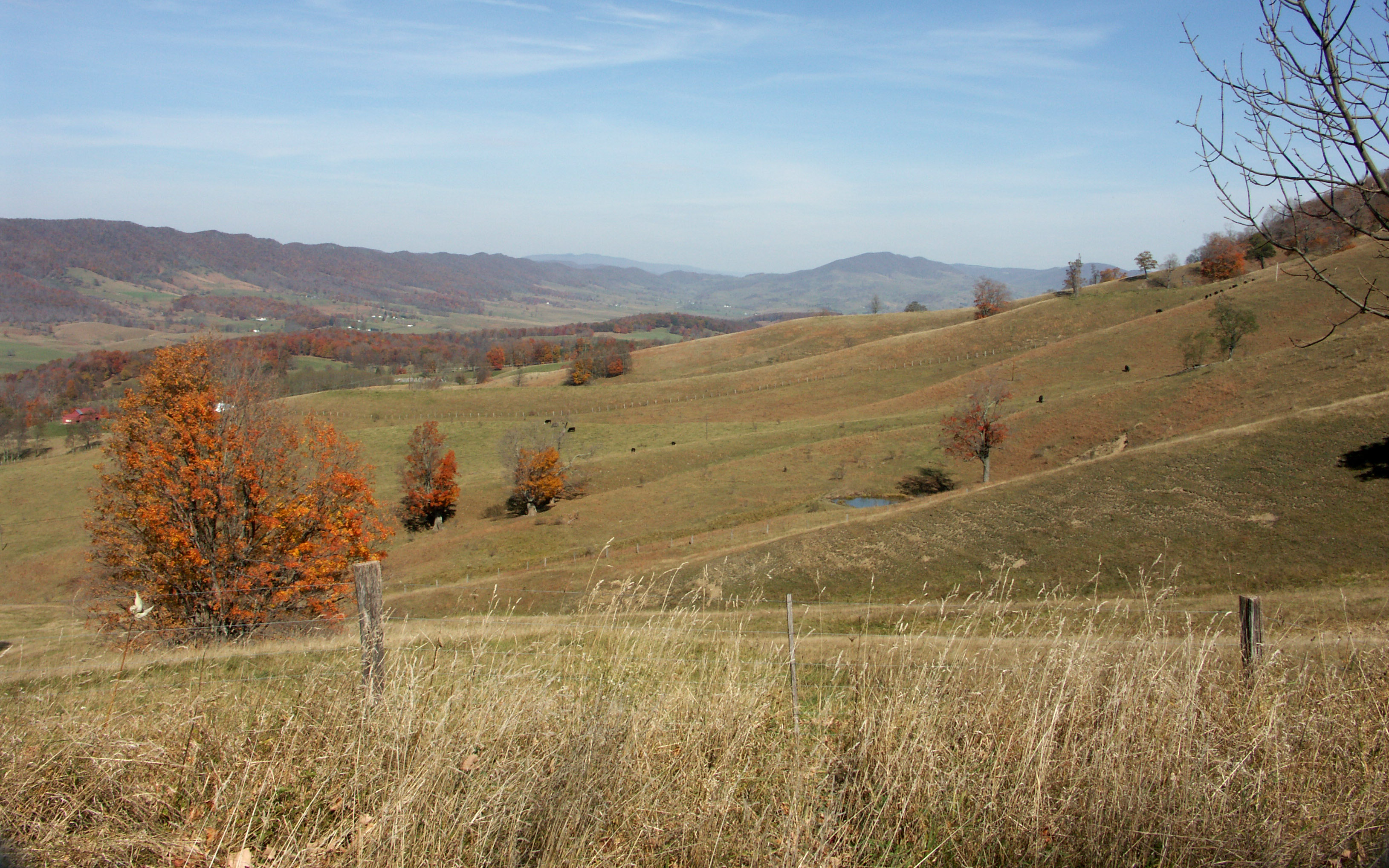
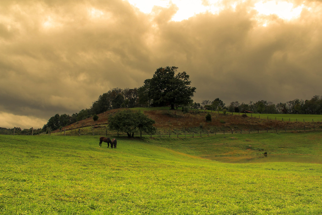
There's the beef! - Blue Grass Valley
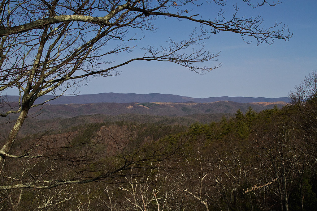
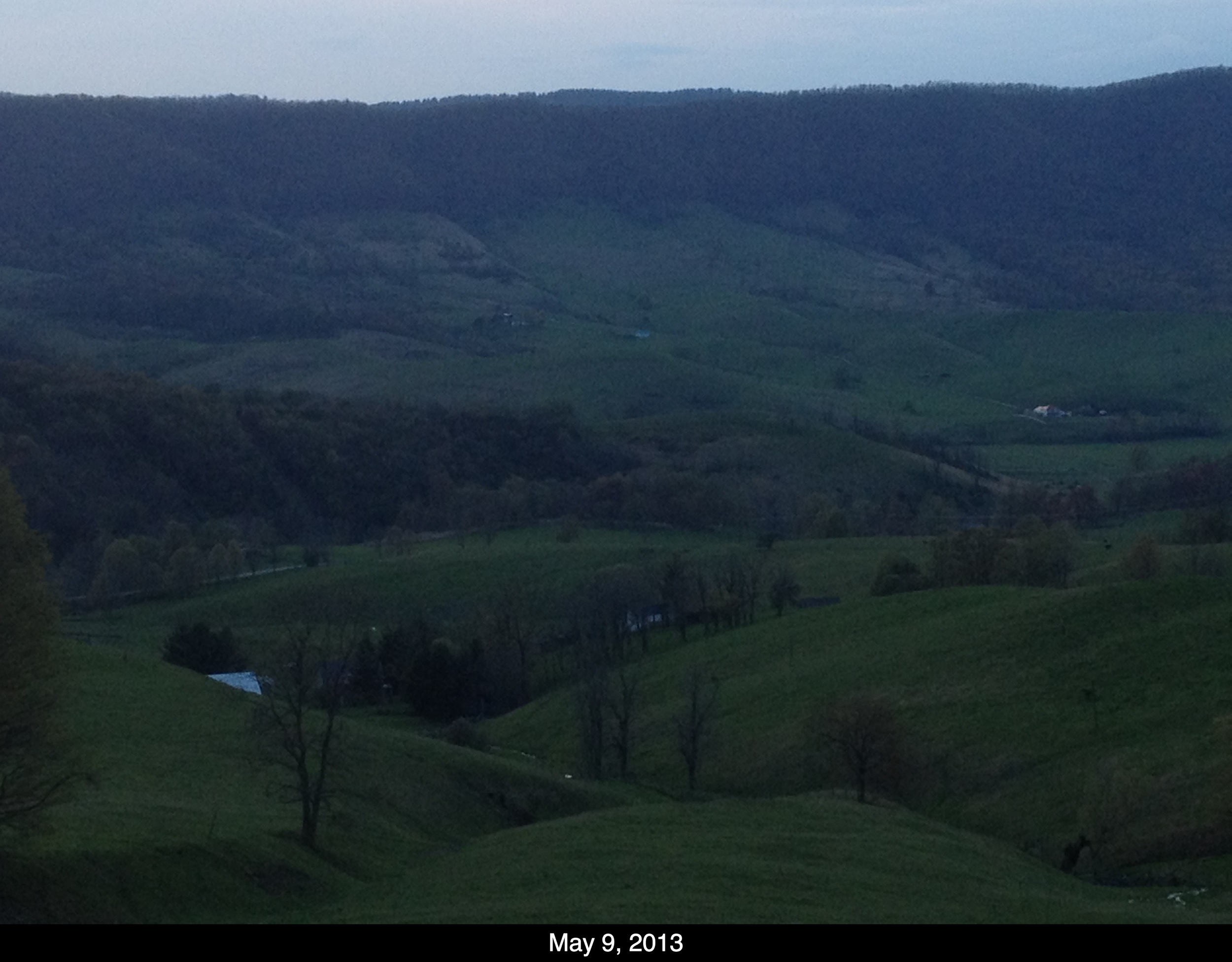
View from Monterey Mountain 1

Highland County Museum

Sugar Tree Country Store
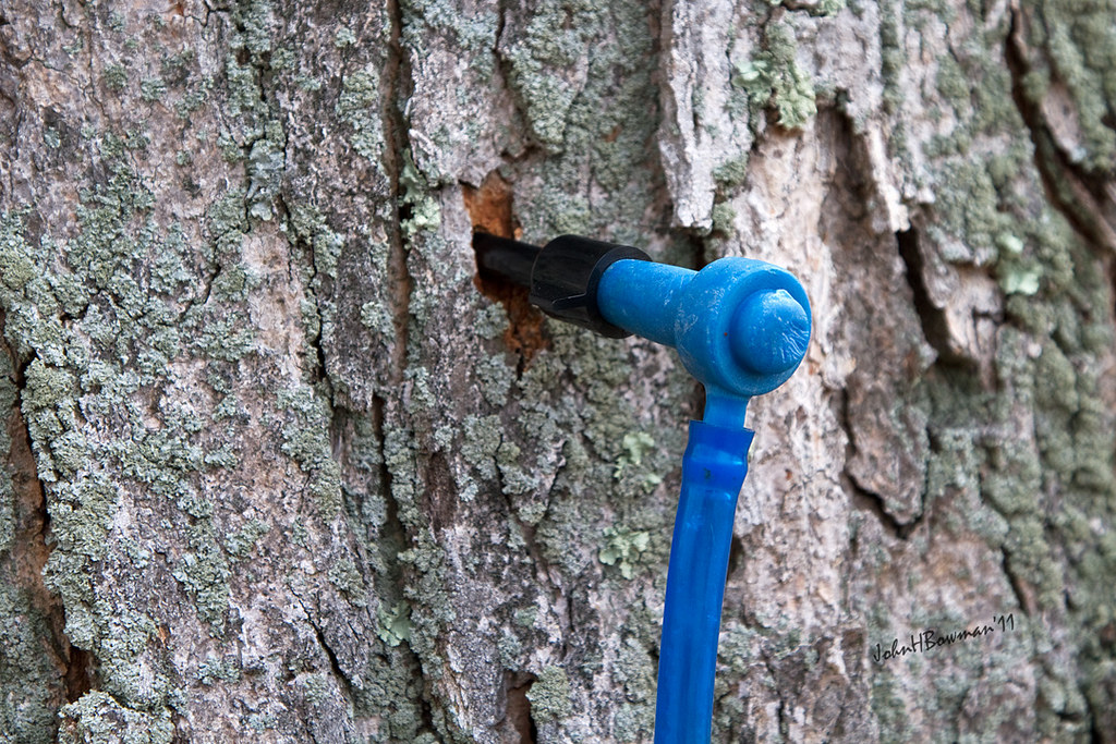
Highland Maple Festival - Modern Tree Tap
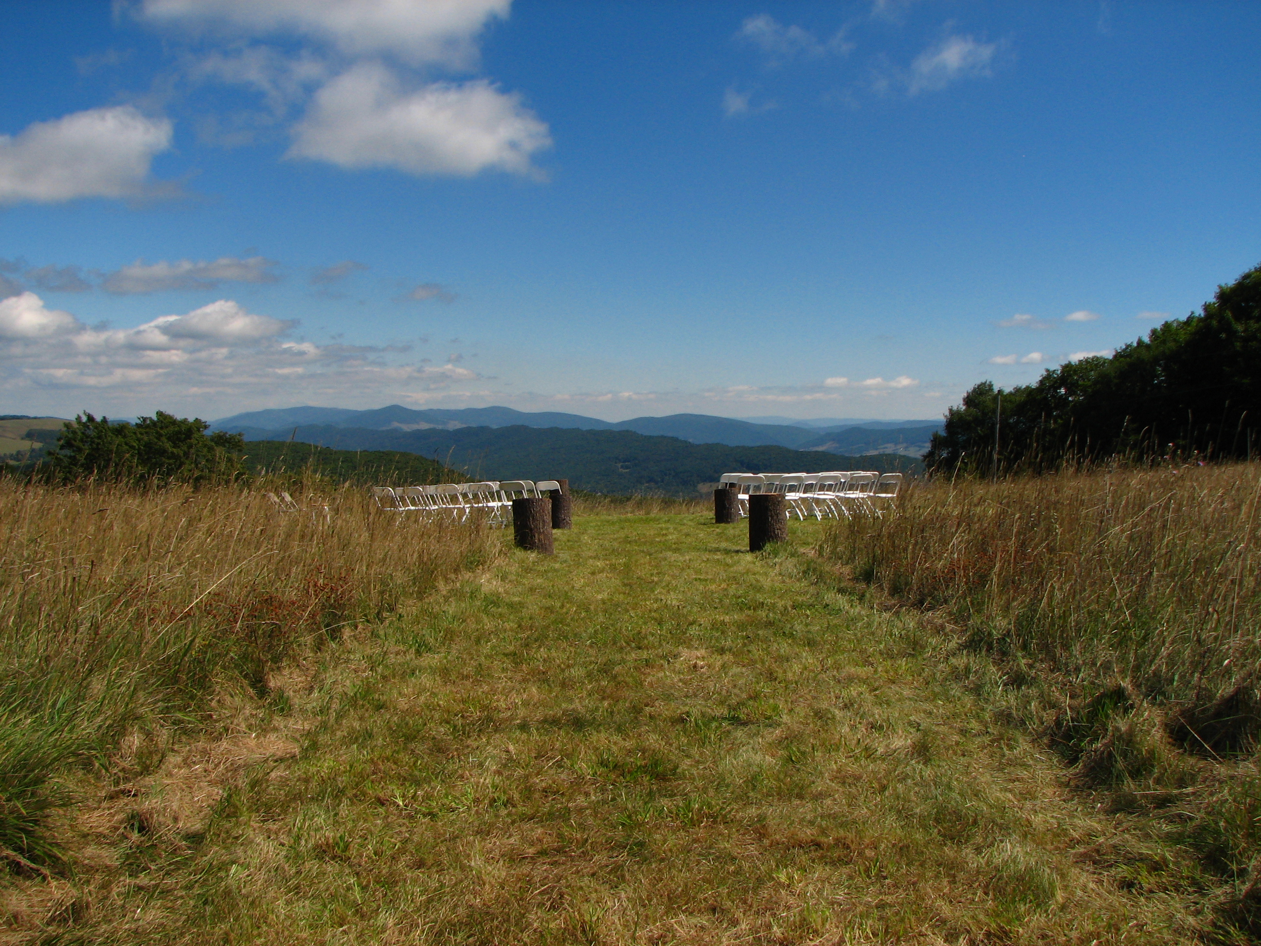
View from the wedding

Chris hikes the Breastworks
Highland Maple Festival - Wintry Vista
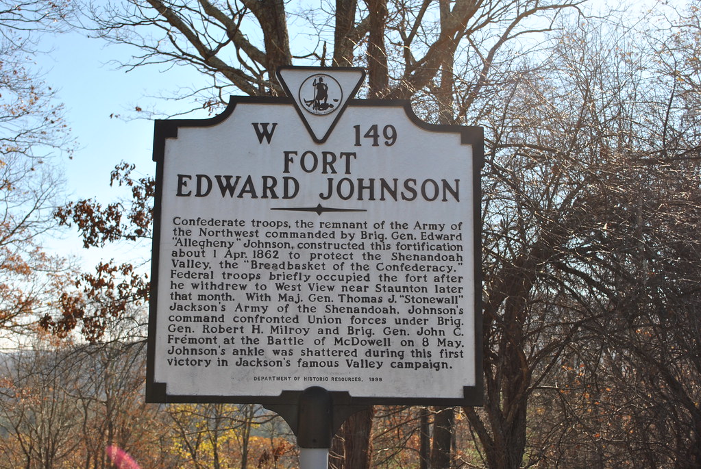
FORT EDWARD JOHNSON
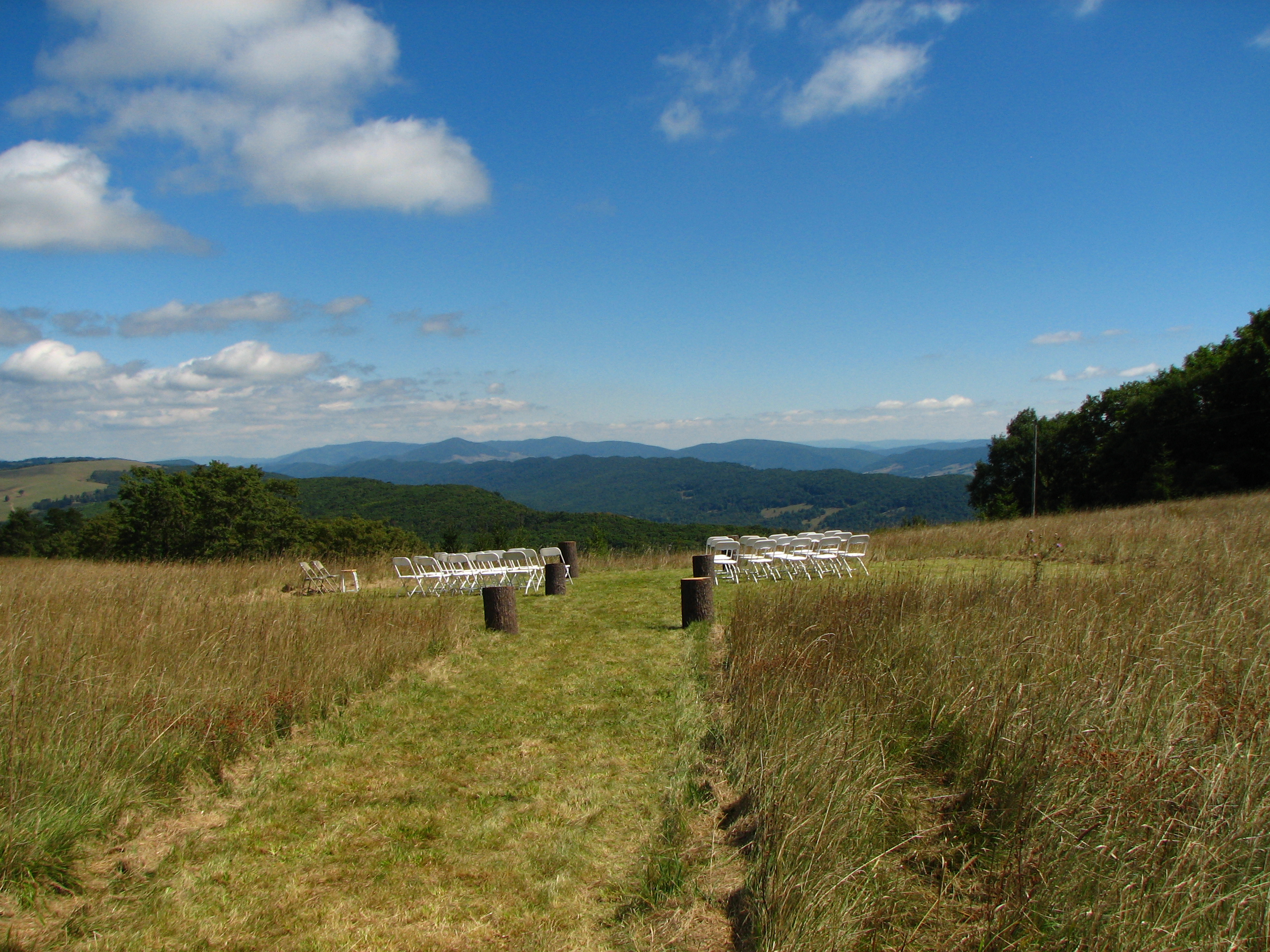
View from the wedding
IMG_2679.JPG
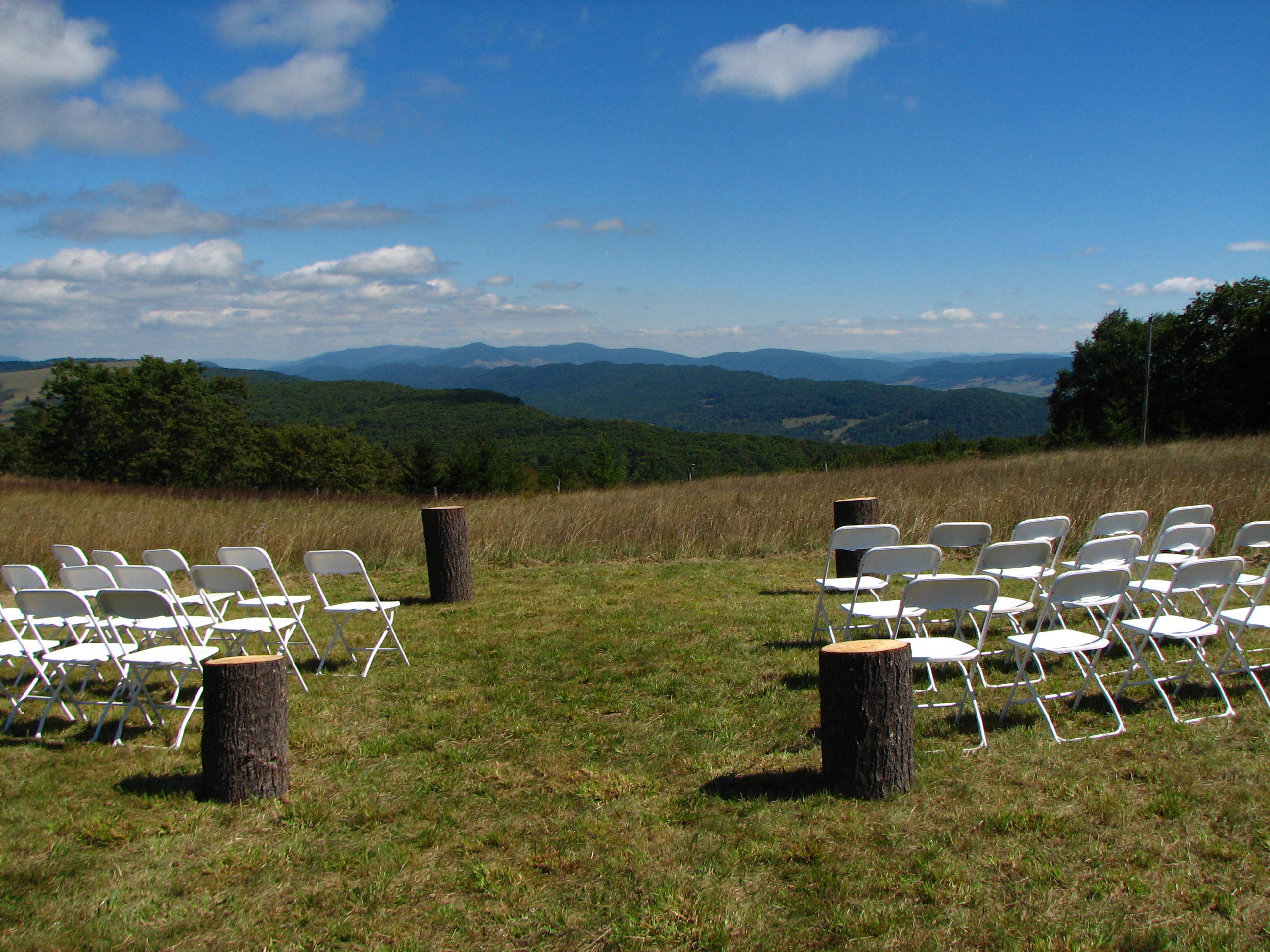
View from the wedding
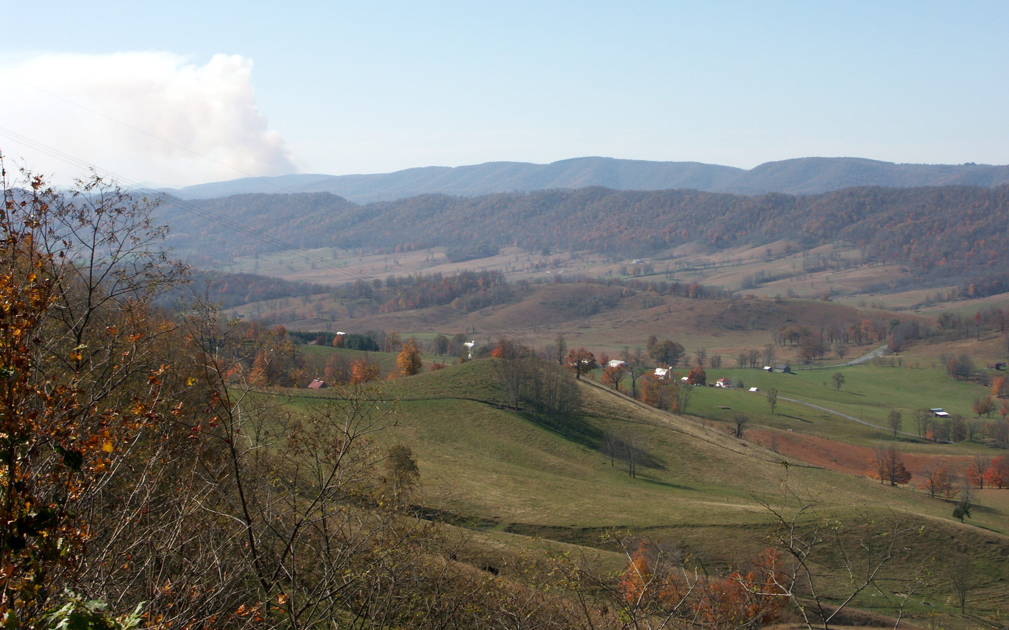
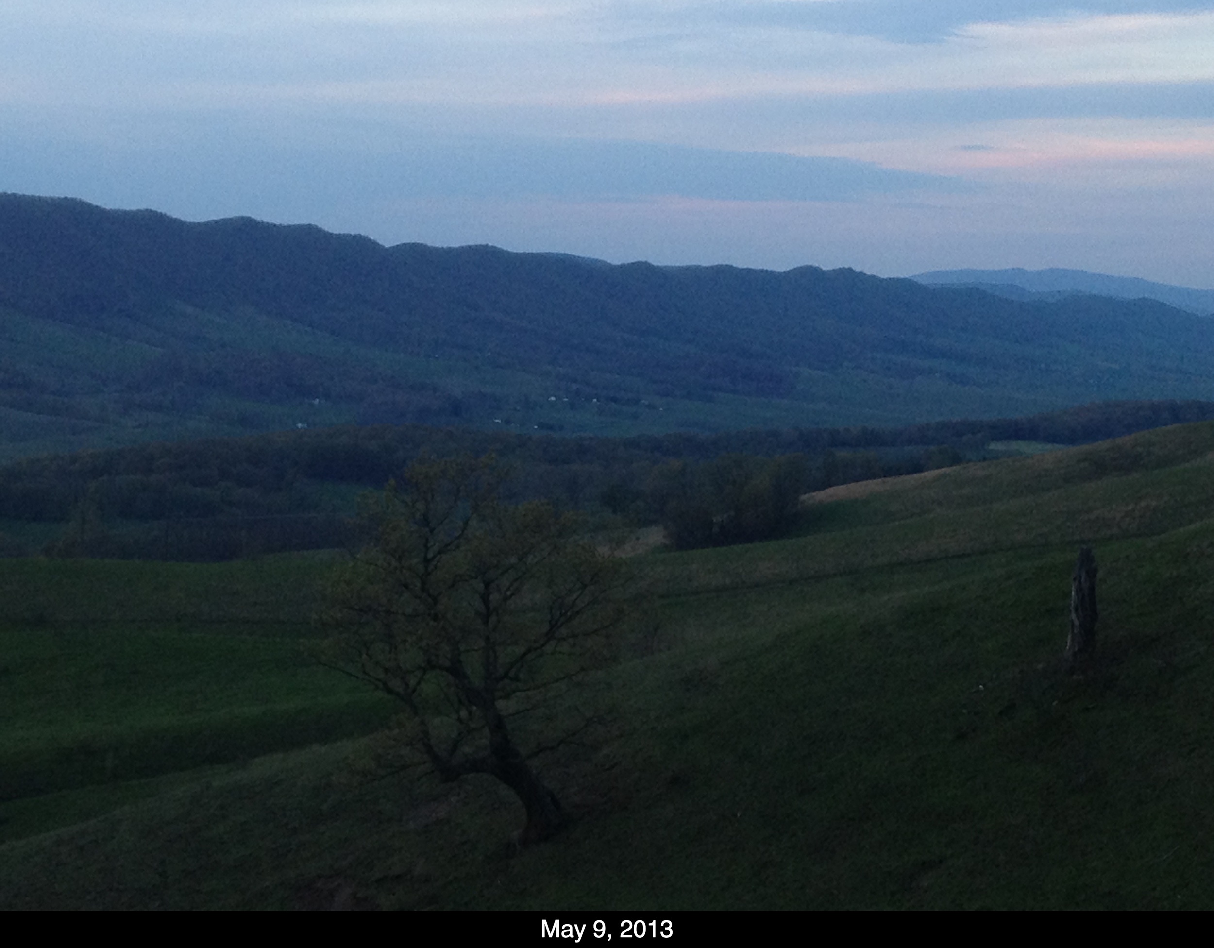
View from Monterey Mountain 3
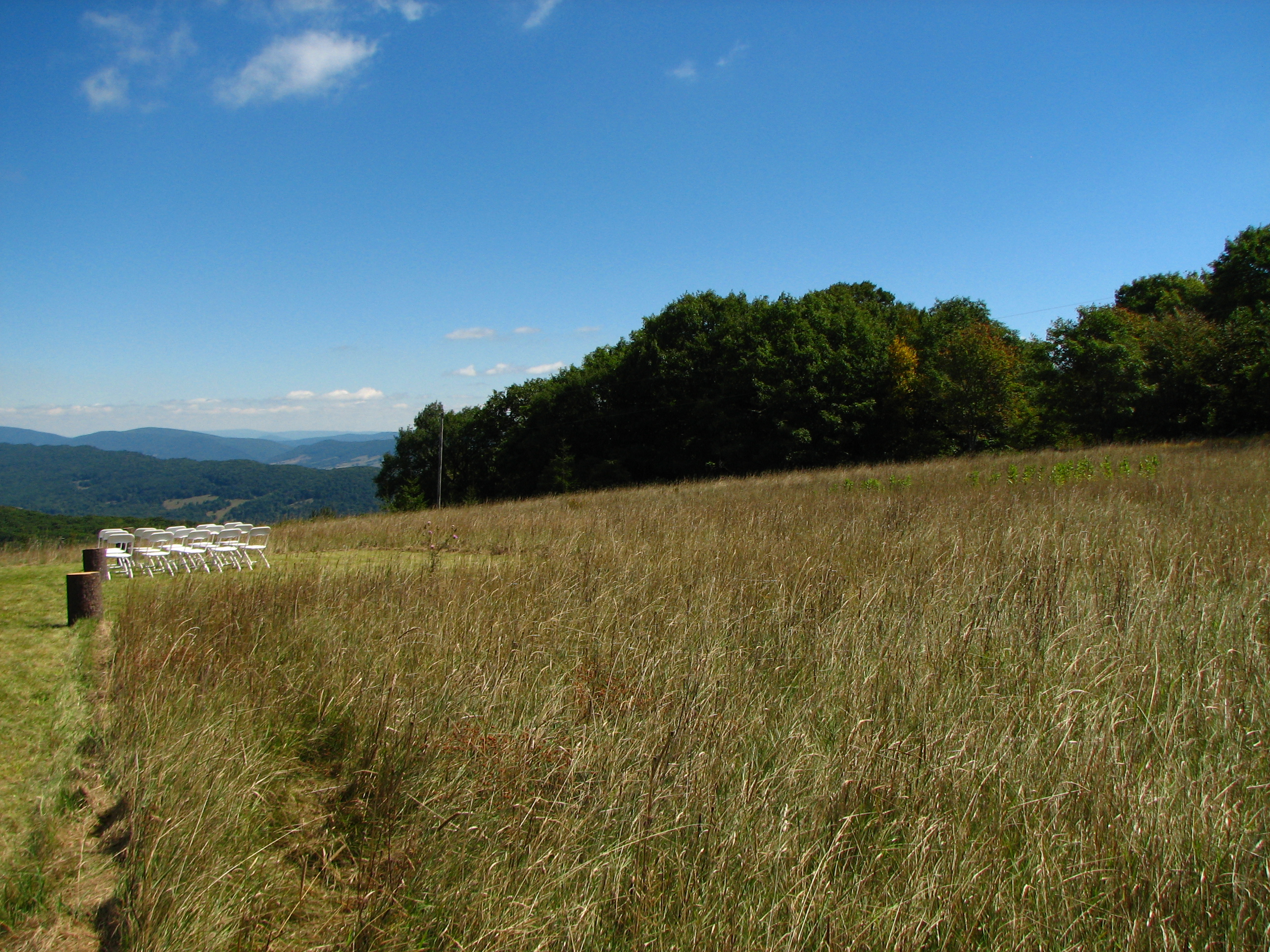
View from the wedding

East Side View Of Highland County Courthouse

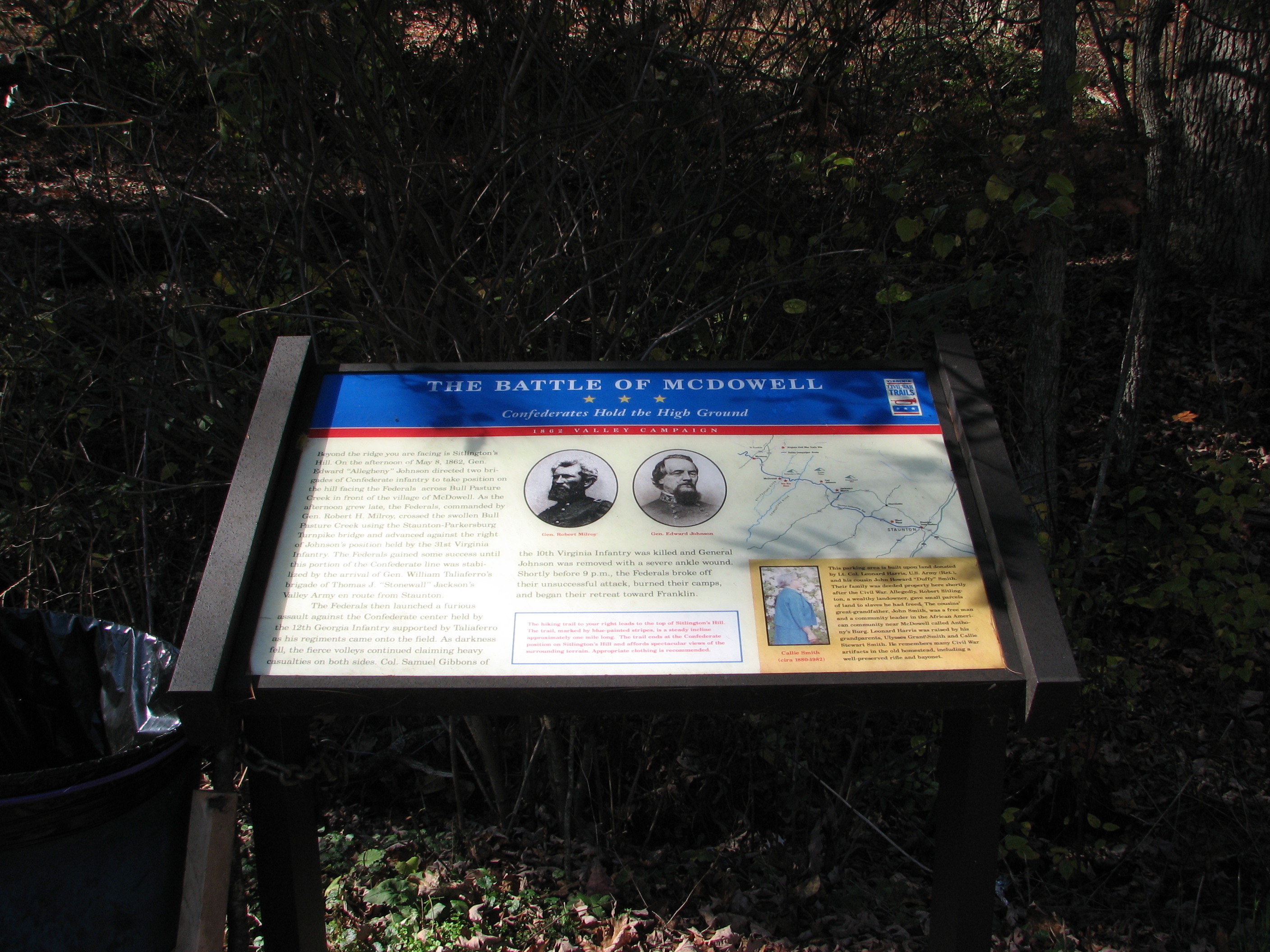
CONFEDERATE BREAST WORKS

Backside View Of The Highland County Confederate Mmeorial

Highland County Courthouse
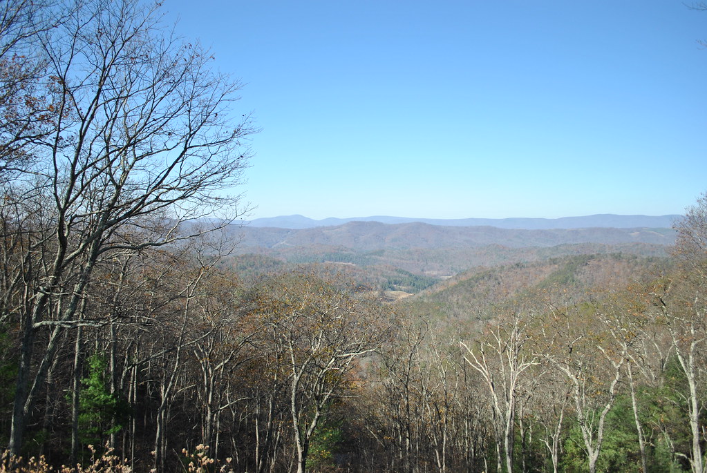
SHENANDOAH MOUNTAIN

The Ranch
September 18, 2012-IMG_8020
September 18, 2012-IMG_8090
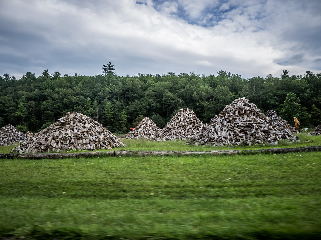
Wood Piles in Virginia
Camera Roll-62

Camera Roll-59

Camera Roll-62
Camera Roll-59

Camera Roll-58
Camera Roll-58
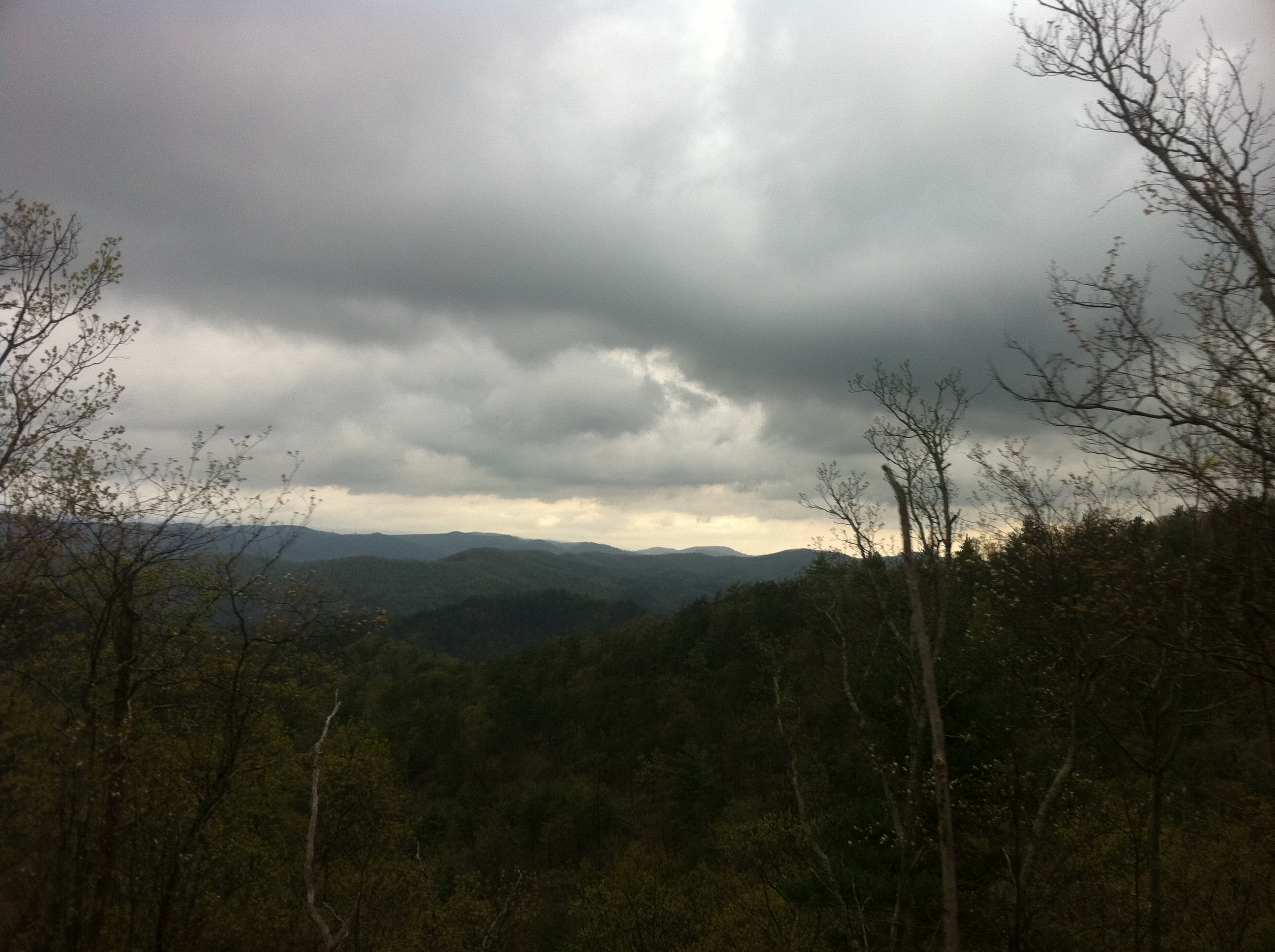
Mountains and Clouds

September 18, 2012-IMG_8096
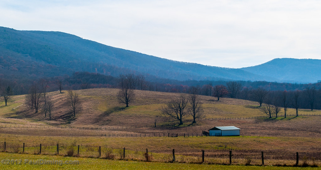
Farm along US 220, South of Monterey, VA - by Paul Diming

Swimming/Fishing hole

Looking into Monterey, VA
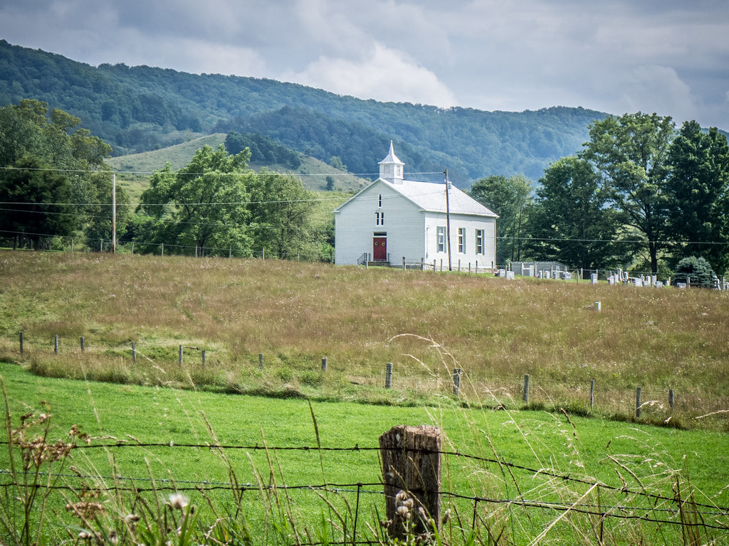
Church near Hightown, Virginia

Old South Rising
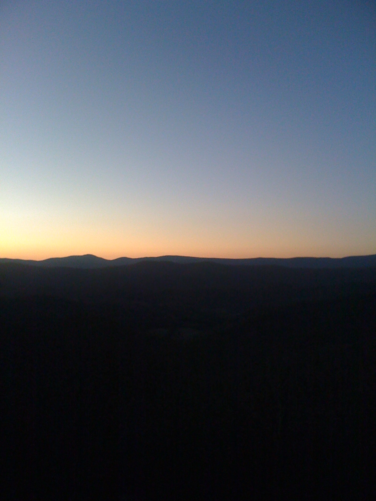
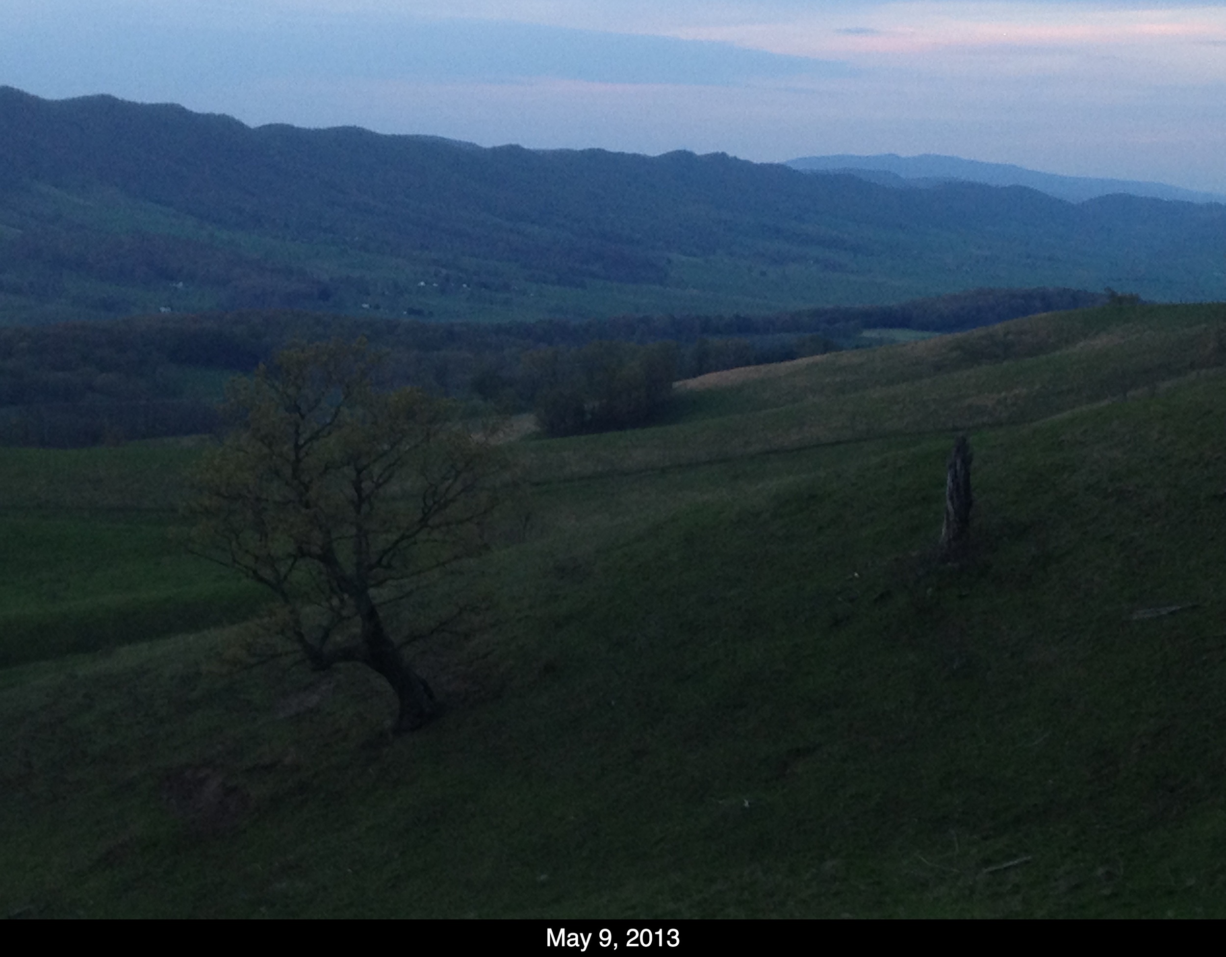
Sunset Glow in the Mountains of Virginia
Topographic Map of McDowell, VA, USA
Find elevation by address:

Places in McDowell, VA, USA:
Places near McDowell, VA, USA:
Bertie Lane
Jack Mountain Road
Monterey
Jack Mountain Road
95 Diggs Ln
U.s. Highway 220
Monterey
68 W Main St
1164 The Pines Rd
1211 The Pines Rd
3845 Jackson River Rd
3845 Jackson River Rd
1784 Jackson River Rd
Hannah Field
1482 Forks Of Water Rd
Highland County
Mustoe
4178 Maple Sugar Rd
592 State Rte 637
592 State Rte 637
Recent Searches:
- Elevation of Corso Fratelli Cairoli, 35, Macerata MC, Italy
- Elevation of Tallevast Rd, Sarasota, FL, USA
- Elevation of 4th St E, Sonoma, CA, USA
- Elevation of Black Hollow Rd, Pennsdale, PA, USA
- Elevation of Oakland Ave, Williamsport, PA, USA
- Elevation of Pedrógão Grande, Portugal
- Elevation of Klee Dr, Martinsburg, WV, USA
- Elevation of Via Roma, Pieranica CR, Italy
- Elevation of Tavkvetili Mountain, Georgia
- Elevation of Hartfords Bluff Cir, Mt Pleasant, SC, USA