Elevation of Buffalo Trail, Elizabeth, CO, USA
Location: United States > Colorado > Elbert County > Elizabeth >
Longitude: -104.64418
Latitude: 39.4086765
Elevation: -10000m / -32808feet
Barometric Pressure: 295KPa
Elevation Map:
Satellite Map:
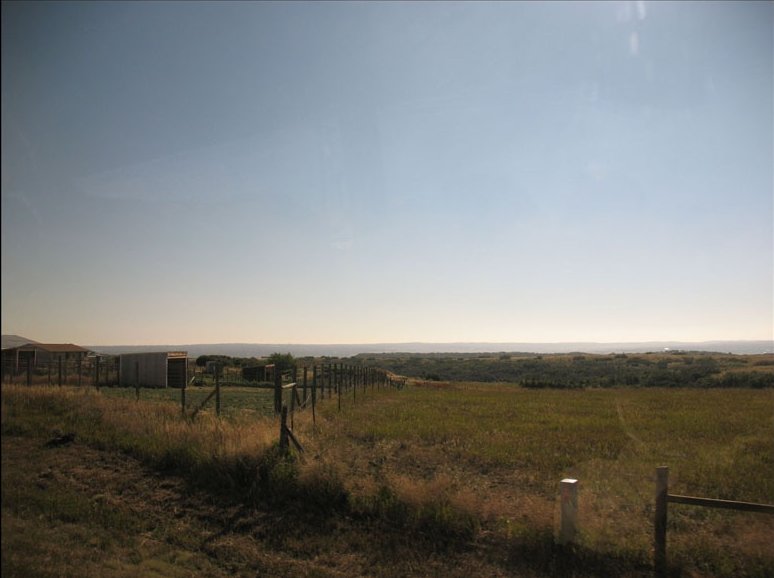
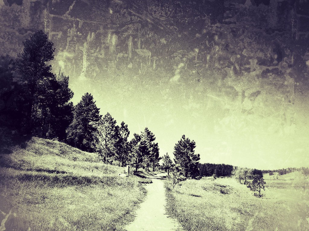
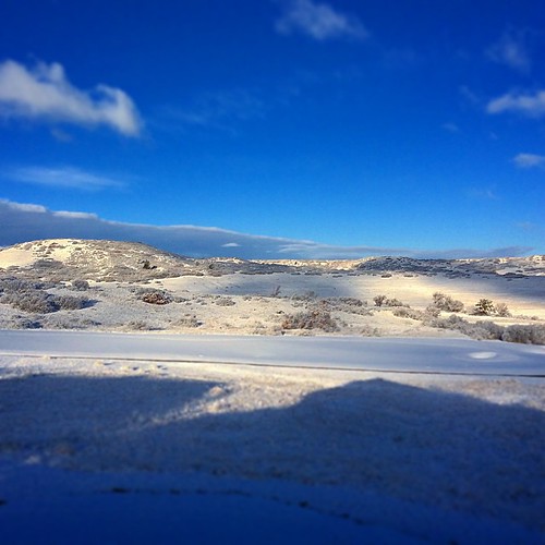
Related Photos:

the valley of once was

Cattle Crossing Trail

Pike's Peak

Tallman Gulch Playground

2007.087.0017
2007.087.0015

Elizabeth,CO

shadowed by the past

Saturday morning

The Castlewood Dam Ruins

dam ruins,side view
Canyon View Trail

Idyllwilde Binoculars

View of Pikes Peak

Canyon View Trail

Tallman Gulch Playground

Castlewood Canyon View

Love this view from Castlewood Canyon State Park
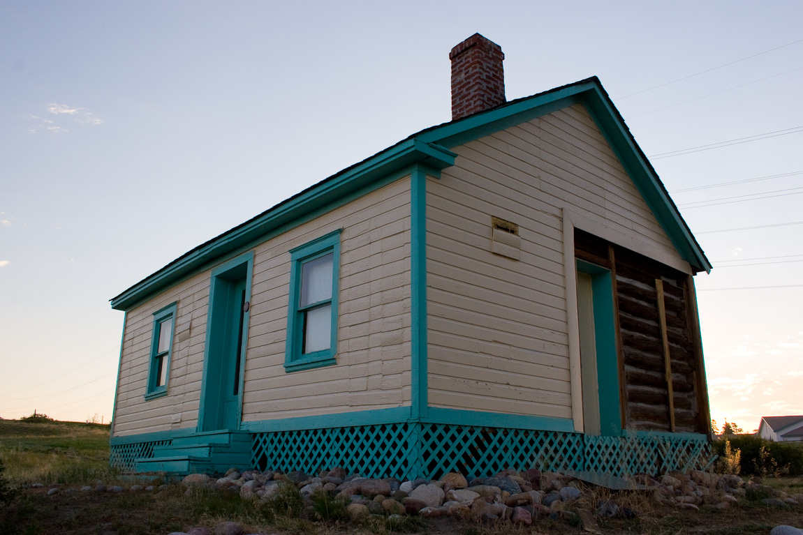
Last Standing Log Cabin in Parker, CO

View from the Road

Looking Downstream along the South, Caprocked Wall of the Canyon

Castlewood Canyon

Nature's Promise

Twisted - Castlewood Canyon

2012-09-02 11.14.15

out of nowhere

Castlewood Canyon State Park Colorado

The great #outdoors. #Colorado #fun

Stroh Rd. Parker, Colorado

Churchill's 4th ACE. #colorado #praderagolfclub #holeinone #ifyoudontlovecoloradofuckyou #swingjuice
Golfed in shorts three days ago. Colorado...

Approach shot from the fairway in a late day round #golf #colorado #clouds

Savoring The Sunset

Pradera sunrise #pradera #colorado #golfisfinished

Cherry Creek Bridge

Rocky Mountains from Douglas County, Colorado

Castlewood Canyon

Castlewood Dam Ruins
Topographic Map of Buffalo Trail, Elizabeth, CO, USA
Find elevation by address:

Places near Buffalo Trail, Elizabeth, CO, USA:
900 Starling Ln
Ponderosa Park
Verdos Dr, Elizabeth, CO, USA
501 Verdos Dr
131 Ponderosa Ln
300 Ponderosa Ln
23501 Co Rd 5
23501 Co Rd 5
614 Coyote Trail
1451 Pawnee Pkwy
11388 Ponderosa Ln
2166 Appaloosa Trail
10880 E Grant Rd
39451 Jo Cir
10420 Holden Cir
10867 Evans Ridge Rd
10867 Evans Ridge Rd
1906 Columbine Dr
10687 Evans Ridge Rd
1669 Columbine Dr
Recent Searches:
- Elevation of Corso Fratelli Cairoli, 35, Macerata MC, Italy
- Elevation of Tallevast Rd, Sarasota, FL, USA
- Elevation of 4th St E, Sonoma, CA, USA
- Elevation of Black Hollow Rd, Pennsdale, PA, USA
- Elevation of Oakland Ave, Williamsport, PA, USA
- Elevation of Pedrógão Grande, Portugal
- Elevation of Klee Dr, Martinsburg, WV, USA
- Elevation of Via Roma, Pieranica CR, Italy
- Elevation of Tavkvetili Mountain, Georgia
- Elevation of Hartfords Bluff Cir, Mt Pleasant, SC, USA