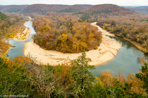
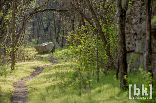
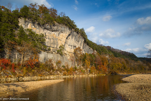
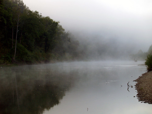
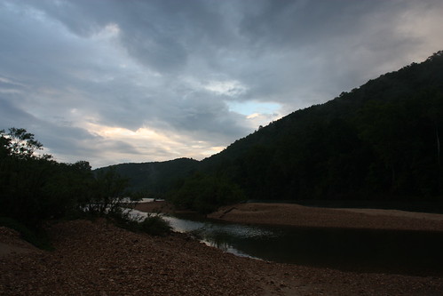
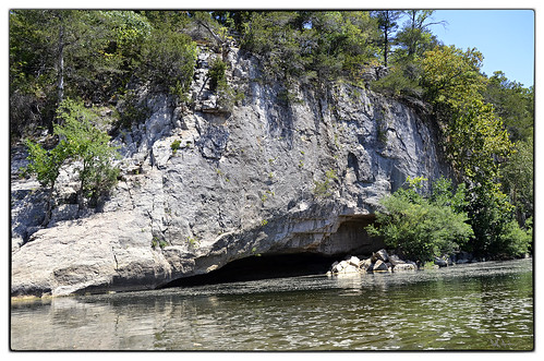
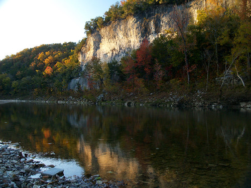
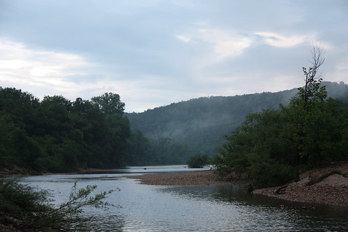
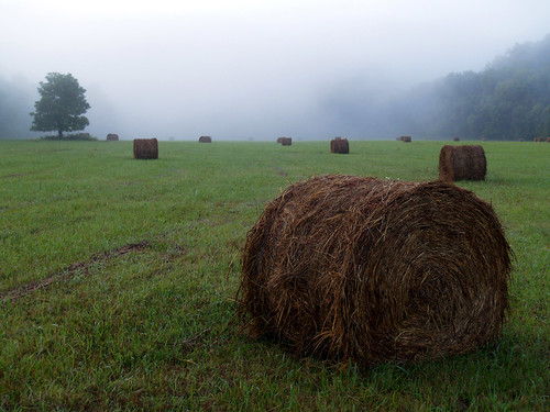
Elevation of Buffalo National River, Ranger Road, St Joe, AR, USA
Location: United States > Arkansas > Searcy County > Spring Township >
Longitude: -92.755826
Latitude: 35.979665
Elevation: 255m / 837feet
Barometric Pressure: 98KPa
Related Photos:
Topographic Map of Buffalo National River, Ranger Road, St Joe, AR, USA
Find elevation by address:

Places near Buffalo National River, Ranger Road, St Joe, AR, USA:
AR-, St Joe, AR, USA
Gilbert
36 Frost St, Gilbert, AR, USA
US-65, St Joe, AR, USA
Searcy County
Yokum Trail
State Highway 374
Virgin Pine Road
Saint Joe
Crow Drive
Spring Township
10526 Ar-27
10526 Ar-27
10526 Ar-27
Bear Creek No. 4 Township
AR-27, Marshall, AR, USA
100 Center St
Marshall
Center St, Marshall, AR, USA
Morning Star
Recent Searches:
- Elevation of Corso Fratelli Cairoli, 35, Macerata MC, Italy
- Elevation of Tallevast Rd, Sarasota, FL, USA
- Elevation of 4th St E, Sonoma, CA, USA
- Elevation of Black Hollow Rd, Pennsdale, PA, USA
- Elevation of Oakland Ave, Williamsport, PA, USA
- Elevation of Pedrógão Grande, Portugal
- Elevation of Klee Dr, Martinsburg, WV, USA
- Elevation of Via Roma, Pieranica CR, Italy
- Elevation of Tavkvetili Mountain, Georgia
- Elevation of Hartfords Bluff Cir, Mt Pleasant, SC, USA
