Elevation of AR-27, Marshall, AR, USA
Location: United States > Arkansas > Searcy County > Spring Township >
Longitude: -92.704475
Latitude: 35.8673647
Elevation: 286m / 938feet
Barometric Pressure: 98KPa
Elevation Map:
Satellite Map:
Related Photos:
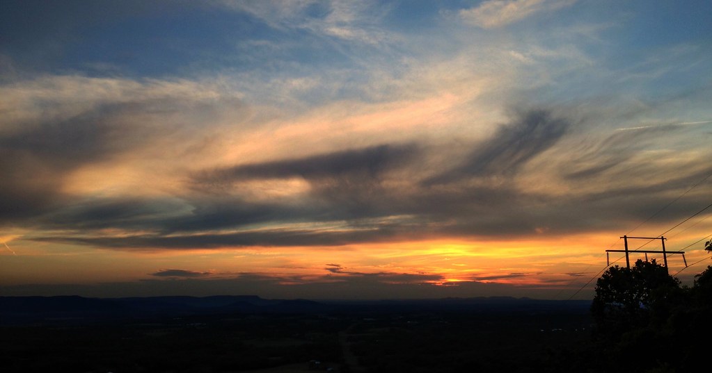
On my way home
Hey ya
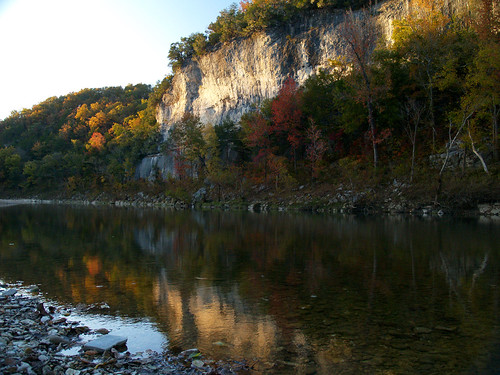
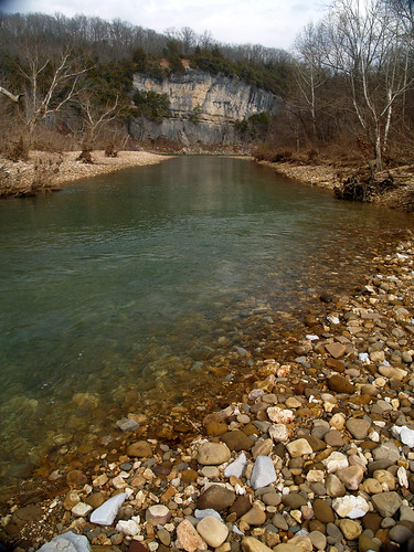
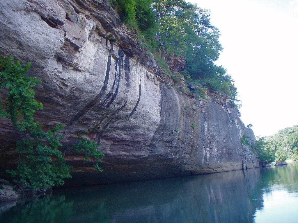
Buffalo River
Walk This Way
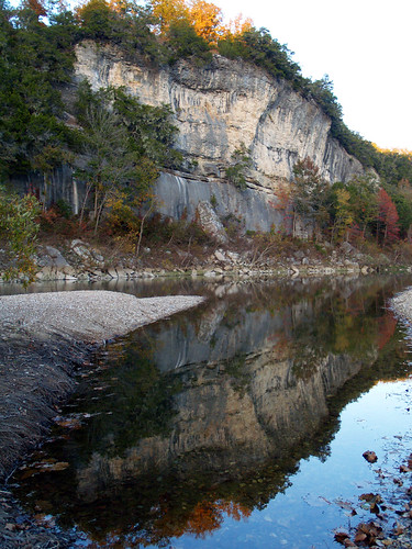
Buffalo River
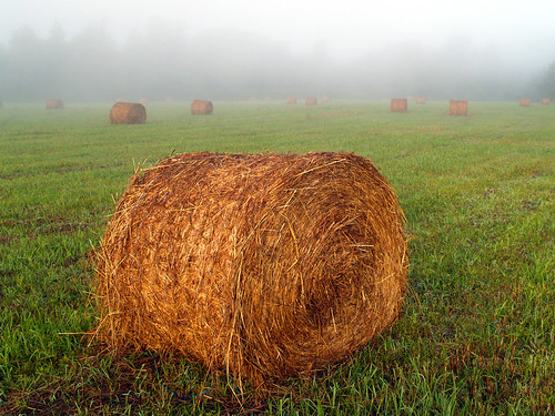
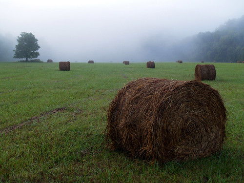
Hay-ters gotta Hay-te
Tyler Bend
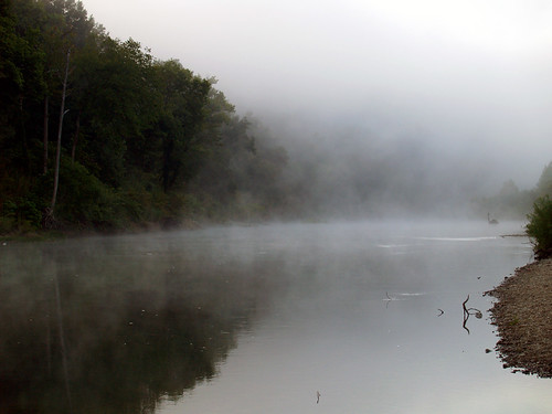
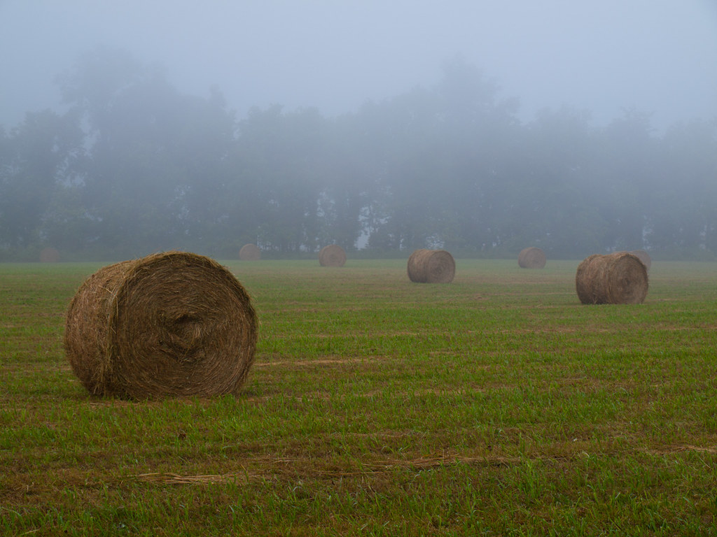
In a fog
Buffalo National River
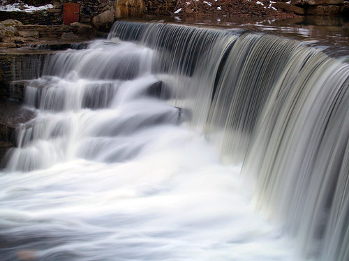
Leslie's waterfall
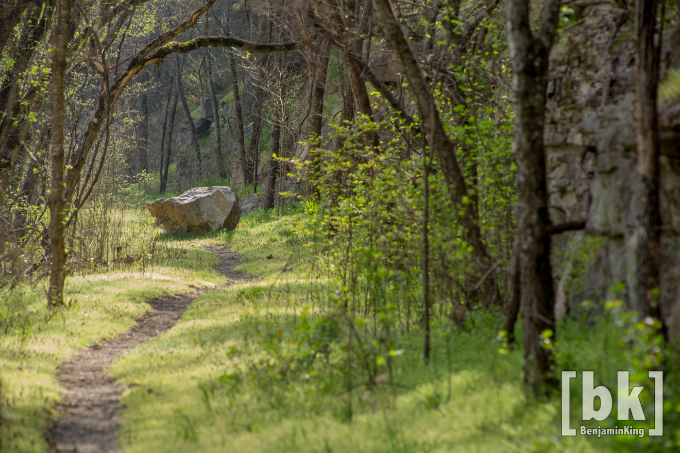
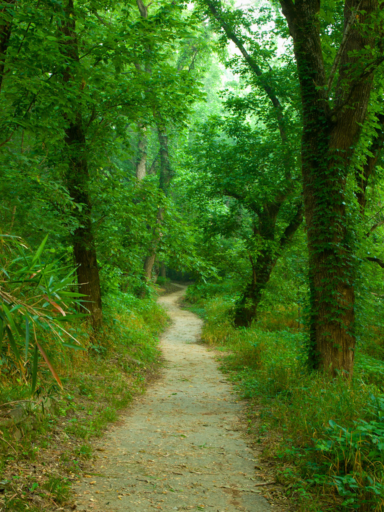
Old Railroad Bed Trail. Gilbert, Ar
shaddy cave
Ozarks barn on the way to Branson #barn #ozarks #arkansas
bufflow-001--.jpg
Topographic Map of AR-27, Marshall, AR, USA
Find elevation by address:

Places near AR-27, Marshall, AR, USA:
10526 Ar-27
10526 Ar-27
10526 Ar-27
Spring Township
Virgin Pine Road
Crow Drive
Center St, Marshall, AR, USA
Marshall
100 Center St
Searcy County
Bear Creek No. 4 Township
Gilbert
Buffalo National River
36 Frost St, Gilbert, AR, USA
Bear Creek No. 6 Township
Yokum Trail
AR-, St Joe, AR, USA
Wileys Cove Township
Morning Star
US-65, St Joe, AR, USA
Recent Searches:
- Elevation of Corso Fratelli Cairoli, 35, Macerata MC, Italy
- Elevation of Tallevast Rd, Sarasota, FL, USA
- Elevation of 4th St E, Sonoma, CA, USA
- Elevation of Black Hollow Rd, Pennsdale, PA, USA
- Elevation of Oakland Ave, Williamsport, PA, USA
- Elevation of Pedrógão Grande, Portugal
- Elevation of Klee Dr, Martinsburg, WV, USA
- Elevation of Via Roma, Pieranica CR, Italy
- Elevation of Tavkvetili Mountain, Georgia
- Elevation of Hartfords Bluff Cir, Mt Pleasant, SC, USA