Elevation of Buck Mountain, Colorado, USA
Location: United States > Colorado > Custer County >
Longitude: -105.52722
Latitude: 38.2402767
Elevation: 2572m / 8438feet
Barometric Pressure: 74KPa
Elevation Map:
Satellite Map:
Related Photos:

Rainbow Lake
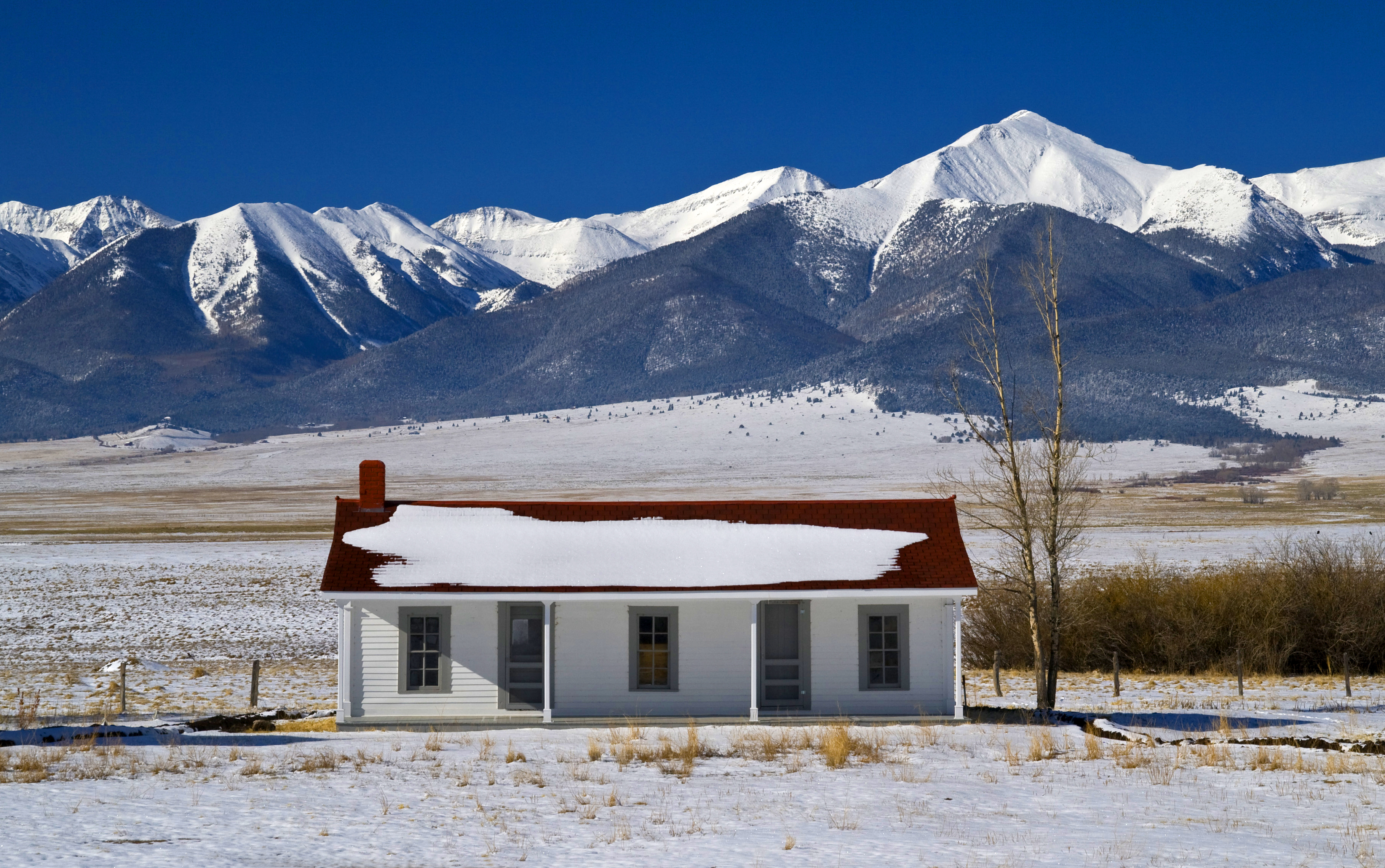
The Bunkhouse - Beckwith Ranch - Westcliffe, CO
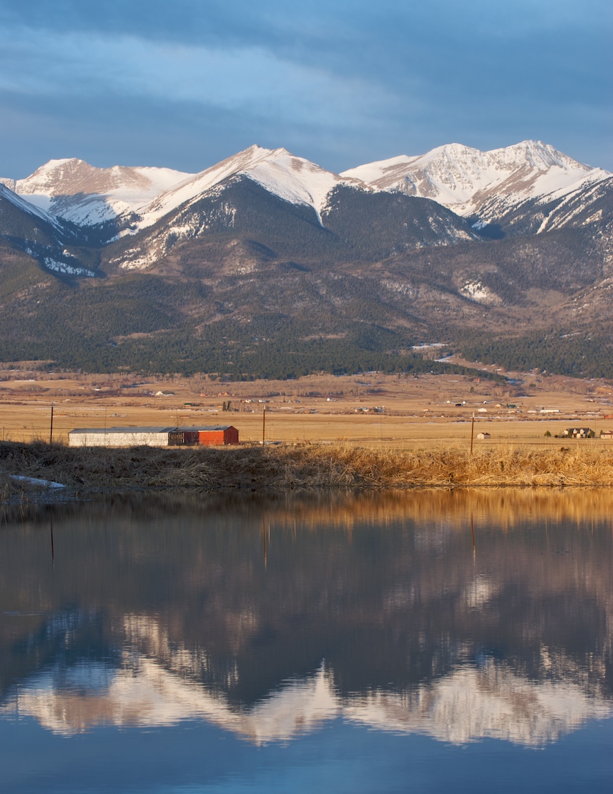
Westcliffe morning

Sangre Lights
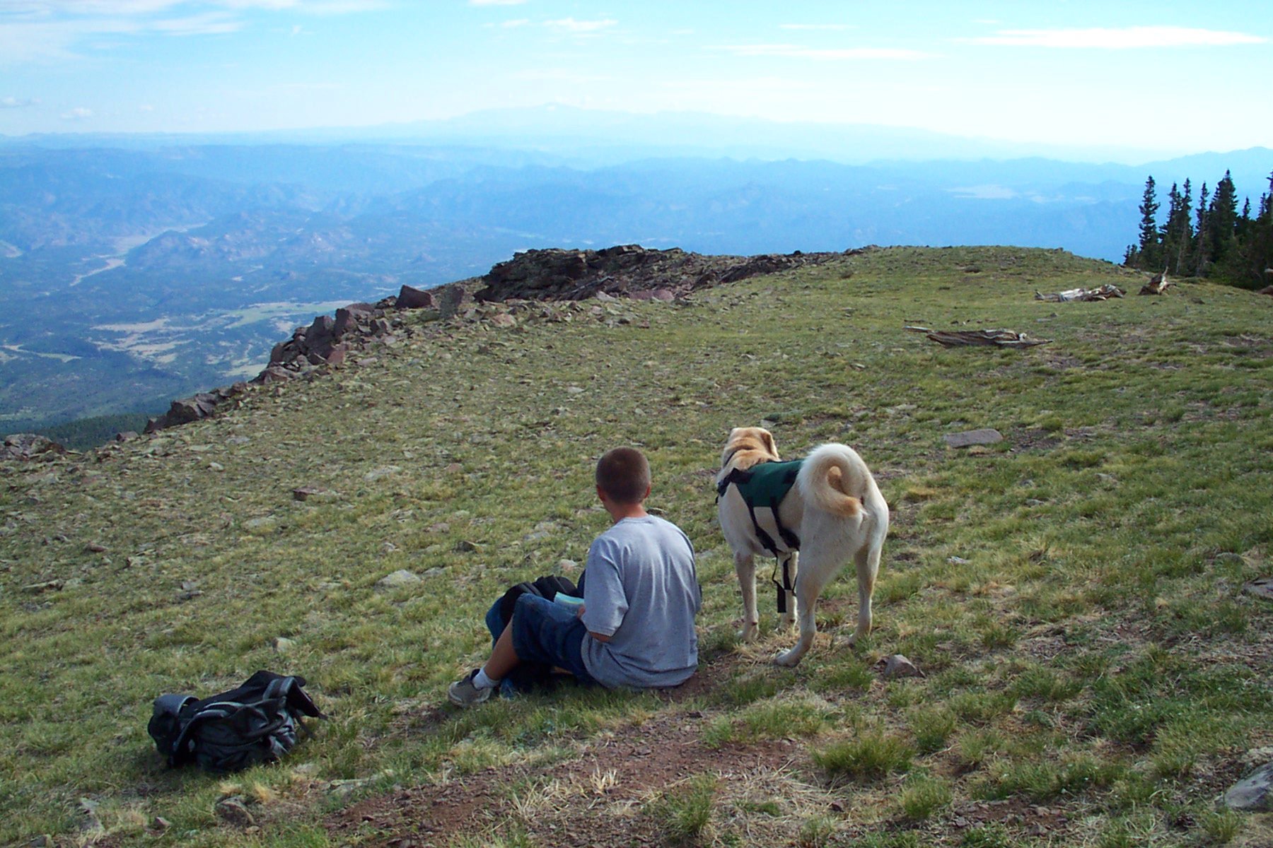
ENJOY THE VIEW
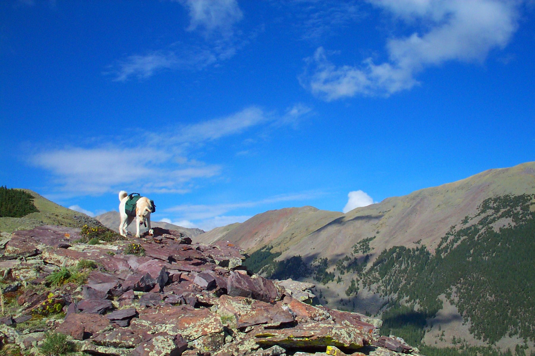
DOG WITH A VIEW

42.Westcliffe052607
Topographic Map of Buck Mountain, Colorado, USA
Find elevation by address:

Places near Buck Mountain, Colorado, USA:
1200 Corral S
Looters Lane
504 Mears Rd
Oak Drive
Oak Drive
Oak Drive
100 Wild Bill Blvd
1662 11th Trail
13th Trail
Acorn Road
1562 19th Trail
655 Lakeview Rd
1526 M Path
409 Elkhorn Rd
409 Elkhorn Rd
248 Beasley Blvd
1139 18th Trail
Copper Gulch Road
1112 24th Trail
2925 M Path
Recent Searches:
- Elevation of Corso Fratelli Cairoli, 35, Macerata MC, Italy
- Elevation of Tallevast Rd, Sarasota, FL, USA
- Elevation of 4th St E, Sonoma, CA, USA
- Elevation of Black Hollow Rd, Pennsdale, PA, USA
- Elevation of Oakland Ave, Williamsport, PA, USA
- Elevation of Pedrógão Grande, Portugal
- Elevation of Klee Dr, Martinsburg, WV, USA
- Elevation of Via Roma, Pieranica CR, Italy
- Elevation of Tavkvetili Mountain, Georgia
- Elevation of Hartfords Bluff Cir, Mt Pleasant, SC, USA