Elevation of 19th Trail, Cotopaxi, CO, USA
Location: United States > Colorado > Cotopaxi >
Longitude: -105.5045858
Latitude: 38.2970251
Elevation: 2338m / 7671feet
Barometric Pressure: 0KPa
Related Photos:
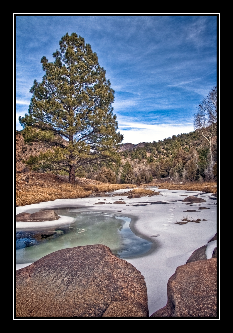
Grape Creek
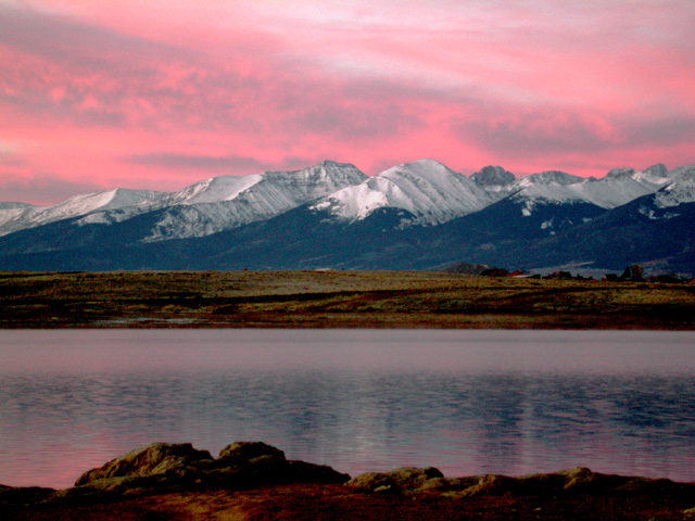
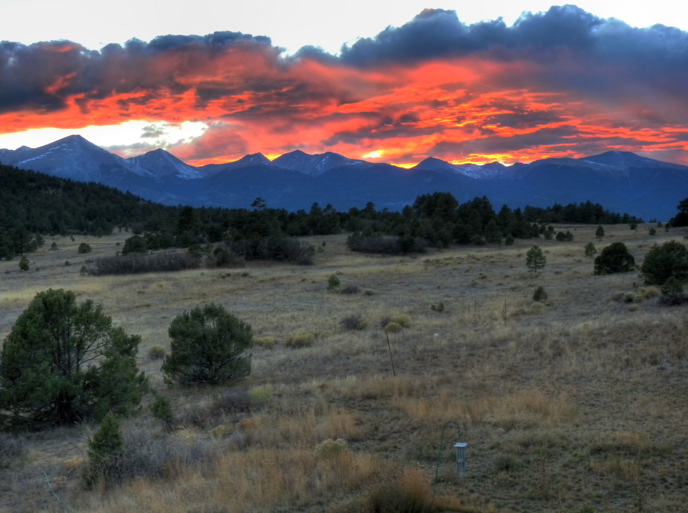
Sangre de Cristo Sunrise
Texas Creek Bridge

Horses in Colorado

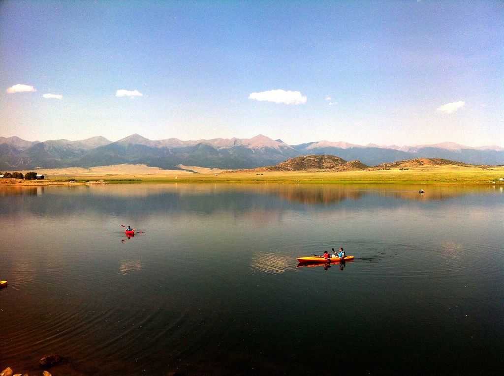
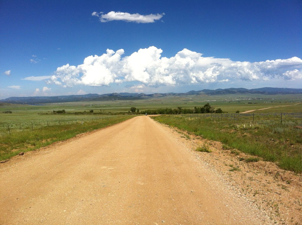
iphone pano
U.S. Route 50 Colorado on the Arkansas River

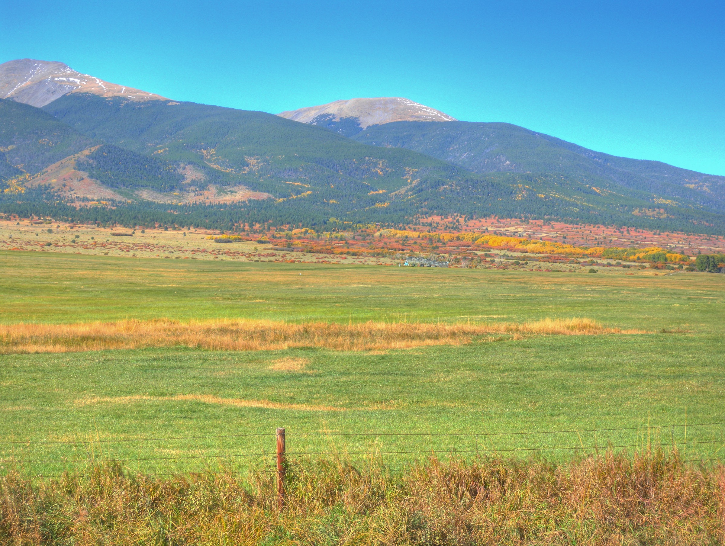
Clouds Near Westcliffe

GM_16-01-11_153241.jpg
PhotoContest-Udall10-9
PhotoContest-Udall10-5

PhotoContest-Udall10-3
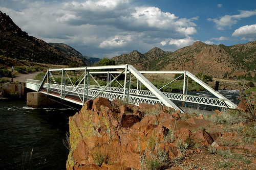
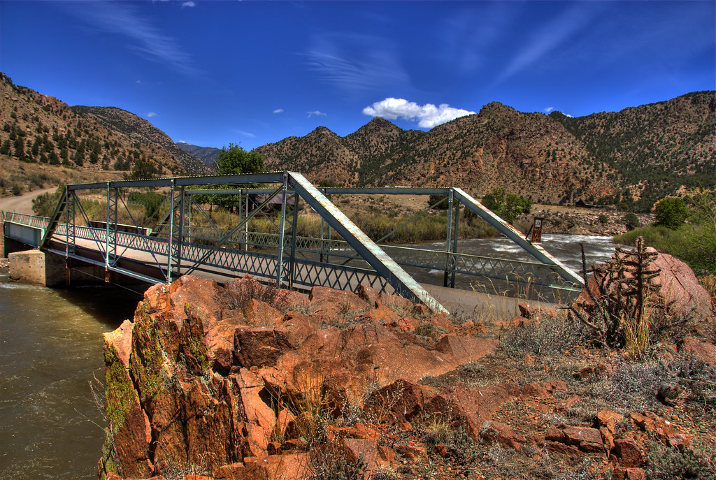
Texas Creek Bridge, Arkansas River, Colorado
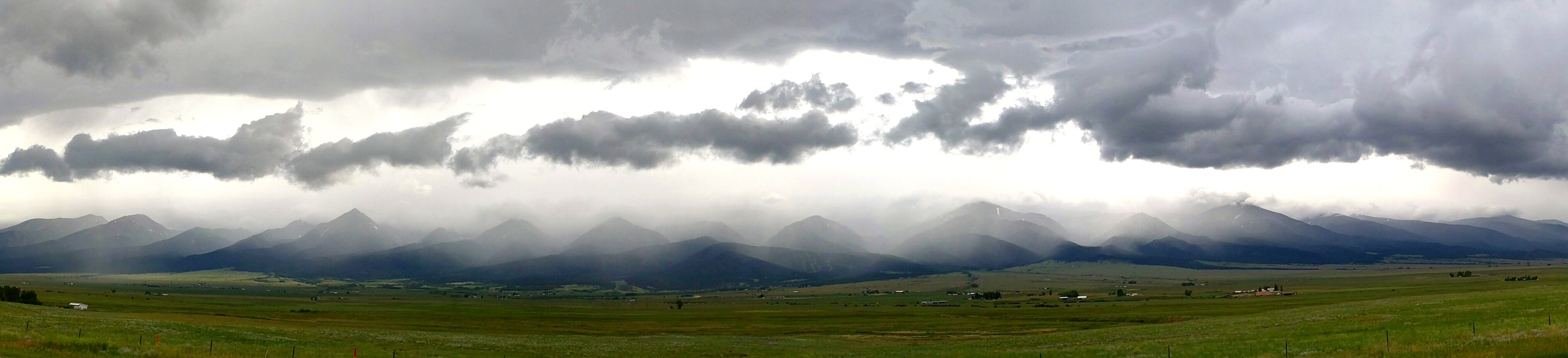
Sangre Storm Panorama
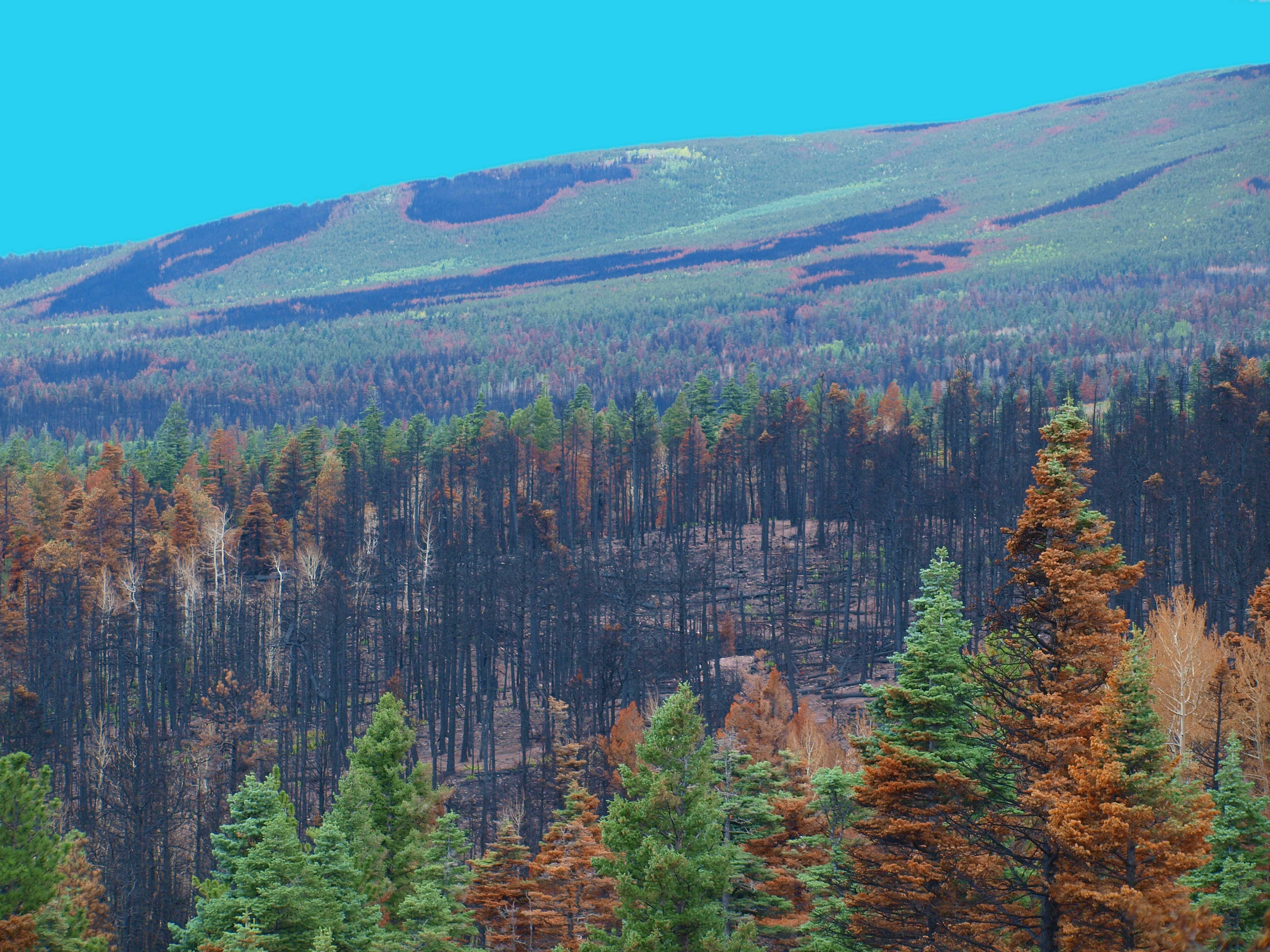
DUCKETT BURN SCAR
PhotoContest-Udall10-6
PhotoContest-Udall10-8
So what has everyone else been up to today?
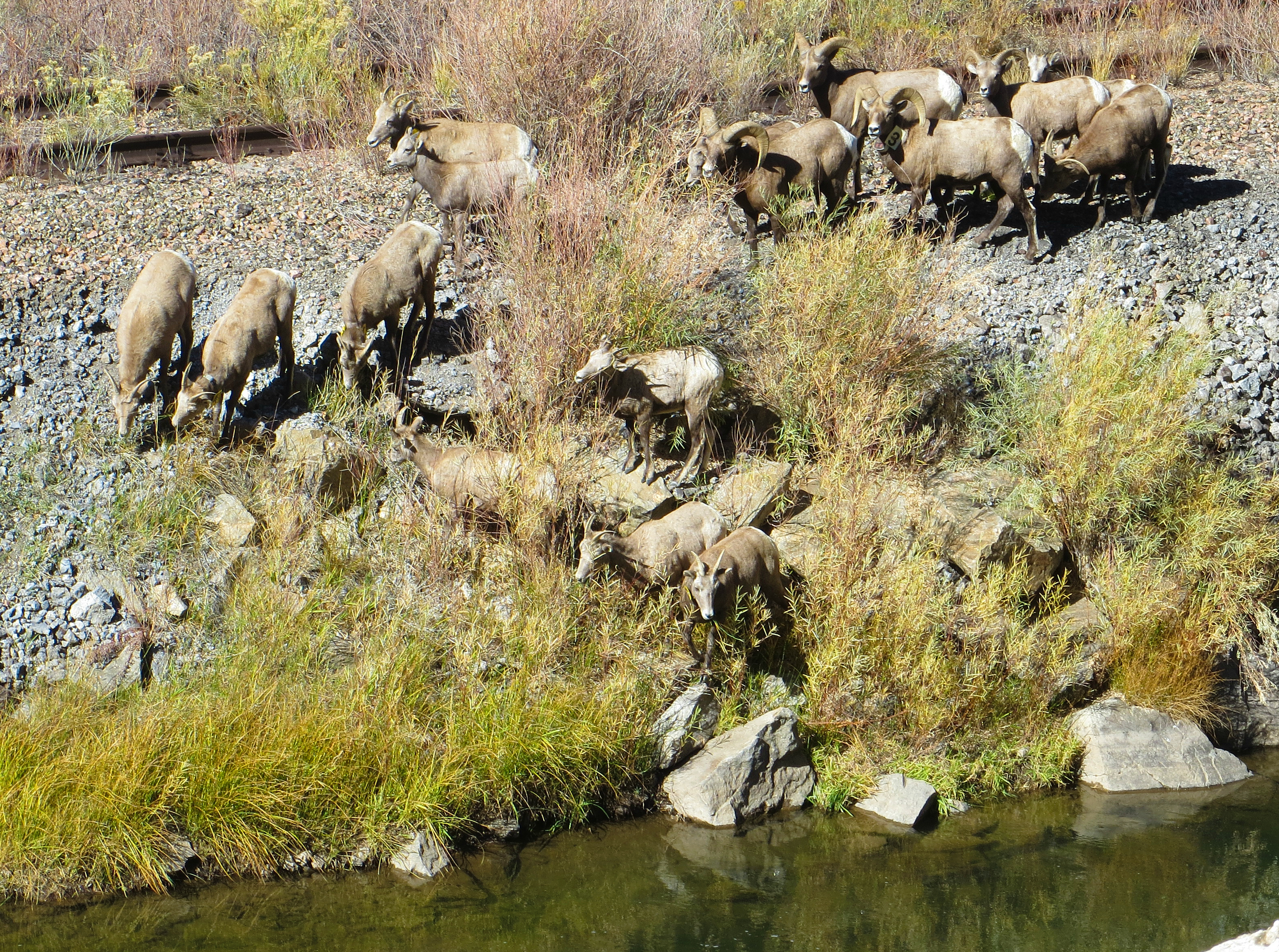
Down to the river for a drink
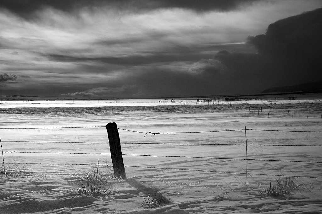
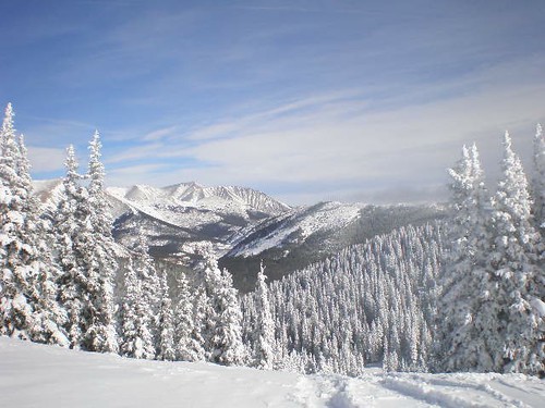
Westcliffe Winter
trans am trail CO

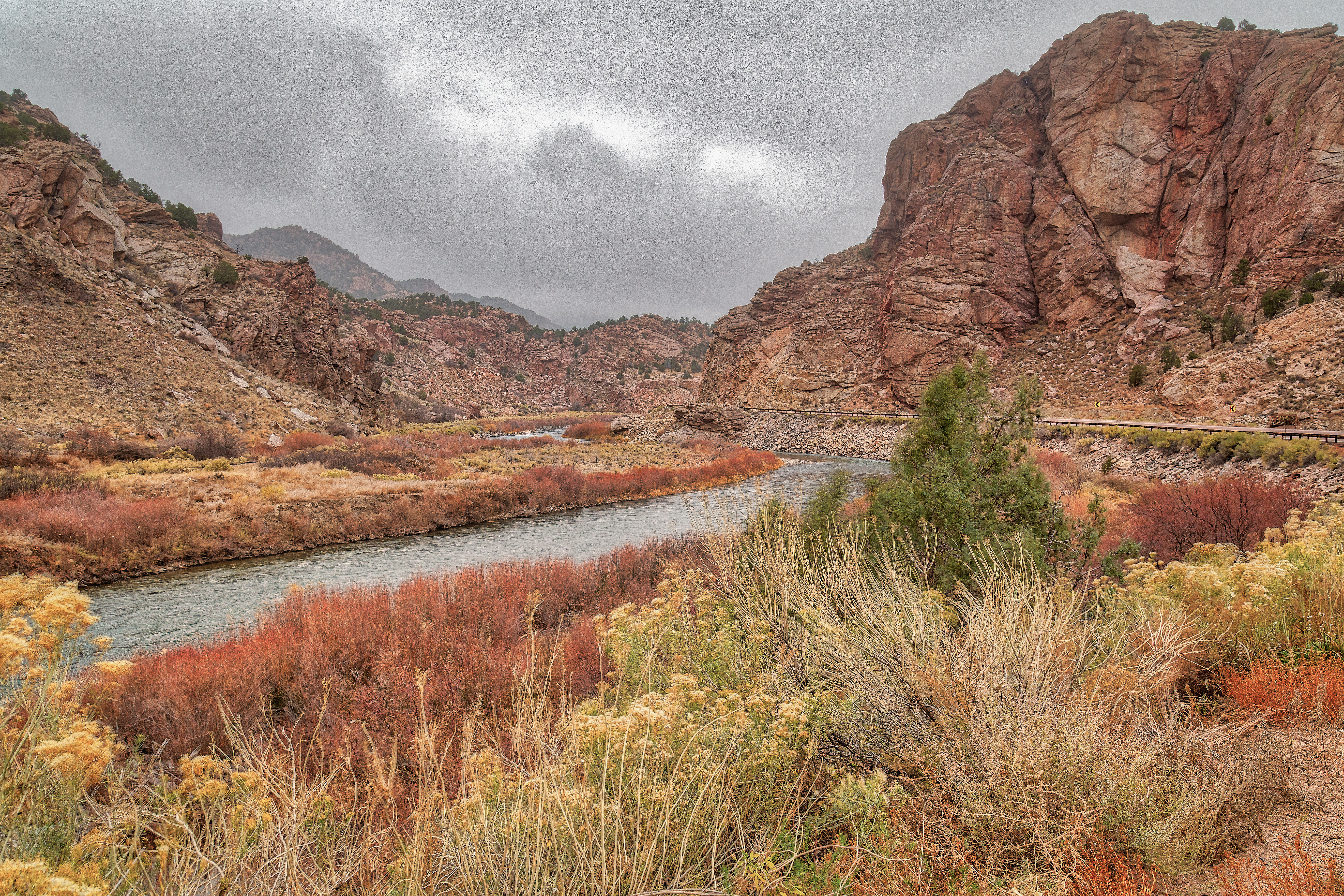
Arkansas River Straddled by the Railroad and US 50
Topographic Map of 19th Trail, Cotopaxi, CO, USA
Find elevation by address:

Places near 19th Trail, Cotopaxi, CO, USA:
1526 M Path
13th Trail
1139 18th Trail
1662 11th Trail
1112 24th Trail
Copper Gulch Road
409 Elkhorn Rd
409 Elkhorn Rd
2925 M Path
County Road 27a
248 Beasley Blvd
1163 32nd Trail
962 32nd Trail
Acorn Road
1200 Corral S
504 Mears Rd
100 Wild Bill Blvd
Buck Mountain
Looters Lane
Oak Drive
Recent Searches:
- Elevation map of Greenland, Greenland
- Elevation of Sullivan Hill, New York, New York, 10002, USA
- Elevation of Morehead Road, Withrow Downs, Charlotte, Mecklenburg County, North Carolina, 28262, USA
- Elevation of 2800, Morehead Road, Withrow Downs, Charlotte, Mecklenburg County, North Carolina, 28262, USA
- Elevation of Yangbi Yi Autonomous County, Yunnan, China
- Elevation of Pingpo, Yangbi Yi Autonomous County, Yunnan, China
- Elevation of Mount Malong, Pingpo, Yangbi Yi Autonomous County, Yunnan, China
- Elevation map of Yongping County, Yunnan, China
- Elevation of North 8th Street, Palatka, Putnam County, Florida, 32177, USA
- Elevation of 107, Big Apple Road, East Palatka, Putnam County, Florida, 32131, USA
- Elevation of Jiezi, Chongzhou City, Sichuan, China
- Elevation of Chongzhou City, Sichuan, China
- Elevation of Huaiyuan, Chongzhou City, Sichuan, China
- Elevation of Qingxia, Chengdu, Sichuan, China
- Elevation of Corso Fratelli Cairoli, 35, Macerata MC, Italy
- Elevation of Tallevast Rd, Sarasota, FL, USA
- Elevation of 4th St E, Sonoma, CA, USA
- Elevation of Black Hollow Rd, Pennsdale, PA, USA
- Elevation of Oakland Ave, Williamsport, PA, USA
- Elevation of Pedrógão Grande, Portugal