Elevation of Bryant St, Loris, SC, USA
| Latitude | 34.0487044 |
|---|---|
| Longitude | -78.8872249 |
| Elevation | 29m / 95feet |
| Barometric Pressure | 1010KPa |
Related Photos:

Nose Knows

Shattered View

It Lies Beneath

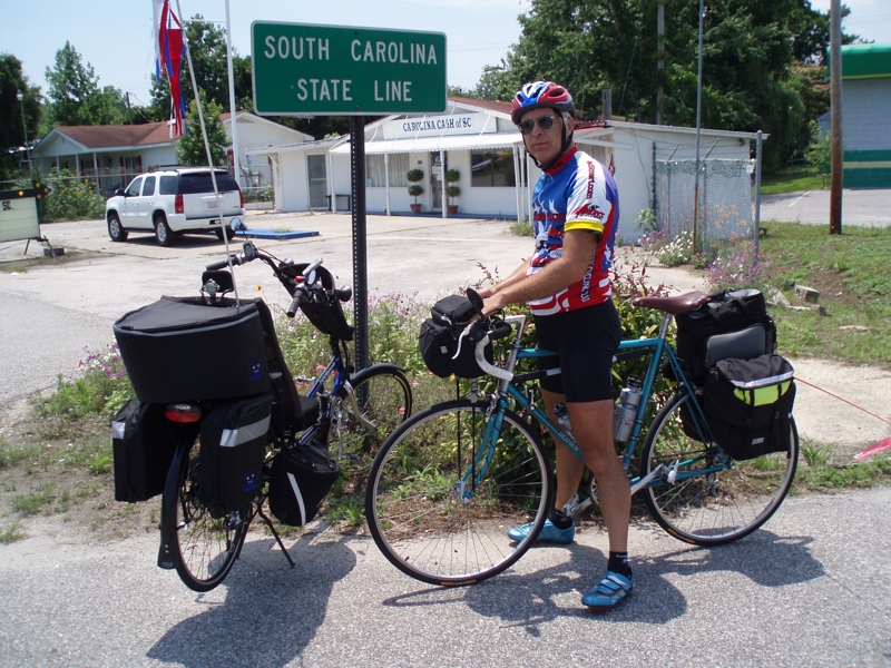
The official SC Welcome Sign

Moss Abstract
We have arrived

Such a reception--just for us

Twin City Airport-Runway 8

Sunset over Tabor City Sports Complex

20160731_162317(0)
Topographic Map of Bryant St, Loris, SC, USA
Find elevation by address:
Places near Bryant St, Loris, SC, USA:
4629 Circle Dr
4809 Circle Dr
Loris, SC, USA
4802 Forest Dr
3610 Broad St
3576 Rogers Rd
Trooper Lane
4249 Walnut St
Loris
Main Street & Railroad Avenue
5329 Gaylan St
5520 Main St
Willow Street
1021 Red Bluff Rd
1021 Red Bluff Rd
3204 Casey St
190 State Rd S-26-570
120 Fox Dale Dr
791 Us-701
556 Longleaf Dr
Recent Searches:
- Elevation map of Central Hungary, Hungary
- Elevation map of Pest, Central Hungary, Hungary
- Elevation of Pilisszentkereszt, Pest, Central Hungary, Hungary
- Elevation of Dharamkot Tahsil, Punjab, India
- Elevation of Bhinder Khurd, Dharamkot Tahsil, Punjab, India
- Elevation of 2881, Chabot Drive, San Bruno, San Mateo County, California, 94066, USA
- Elevation of 10370, West 107th Circle, Westminster, Jefferson County, Colorado, 80021, USA
- Elevation of 611, Roman Road, Old Ford, Bow, London, England, E3 2RW, United Kingdom
- Elevation of 116, Beartown Road, Underhill, Chittenden County, Vermont, 05489, USA
- Elevation of Window Rock, Colfax County, New Mexico, 87714, USA
- Elevation of 4807, Rosecroft Street, Kempsville Gardens, Virginia Beach, Virginia, 23464, USA
- Elevation map of Matawinie, Quebec, Canada
- Elevation of Sainte-Émélie-de-l'Énergie, Matawinie, Quebec, Canada
- Elevation of Rue du Pont, Sainte-Émélie-de-l'Énergie, Matawinie, Quebec, J0K2K0, Canada
- Elevation of 8, Rue de Bécancour, Blainville, Thérèse-De Blainville, Quebec, J7B1N2, Canada
- Elevation of Wilmot Court North, 163, University Avenue West, Northdale, Waterloo, Region of Waterloo, Ontario, N2L6B6, Canada
- Elevation map of Panamá Province, Panama
- Elevation of Balboa, Panamá Province, Panama
- Elevation of San Miguel, Balboa, Panamá Province, Panama
- Elevation of Isla Gibraleón, San Miguel, Balboa, Panamá Province, Panama