Elevation of Broad St, Loris, SC, USA
Location: United States > South Carolina > Horry County > Loris >
Longitude: -78.889878
Latitude: 34.0535481
Elevation: 31m / 102feet
Barometric Pressure: 101KPa
Elevation Map:
Satellite Map:
Related Photos:

It Lies Beneath
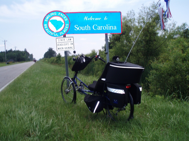
The official SC Welcome Sign

Shattered View

Nose Knows

Moss Abstract

Such a reception--just for us

We have arrived

Twin City Airport-Runway 8

Sunset over Tabor City Sports Complex

Small Town Stroll

Aftermath of Hurricane Matthew

Aftermath of Hurricane Matthew

Aftermath of Hurricane Matthew

North Carolina, Tabor City

Aftermath of Hurricane Matthew
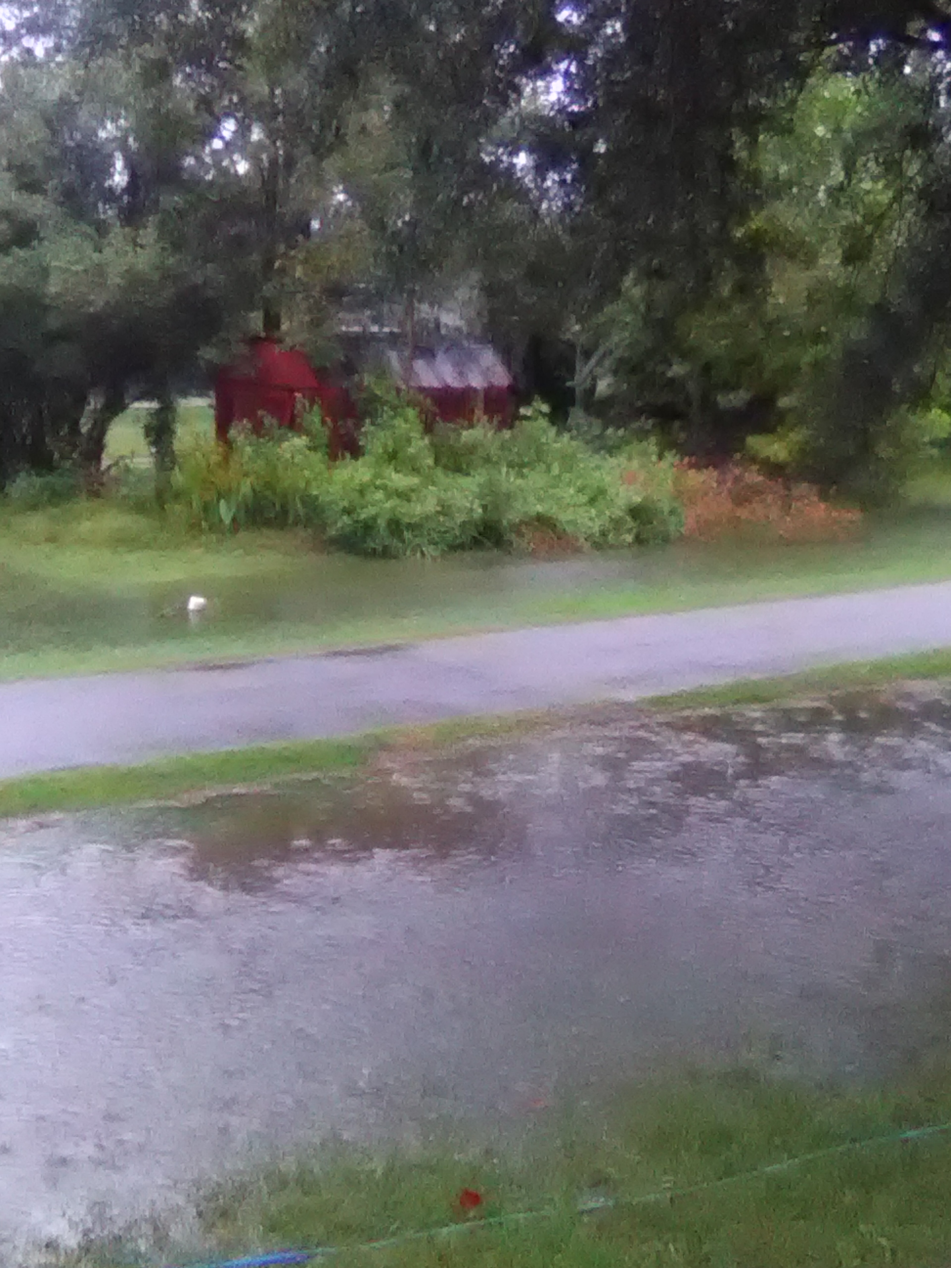
Aftermath of Hurricane Matthew

Aftermath of Hurricane Matthew

Aftermath of Hurricane Matthew

Aftermath of Hurricane Matthew

Aftermath of Hurricane Matthew

Aftermath of Hurricane Matthew

Aftermath of Hurricane Matthew
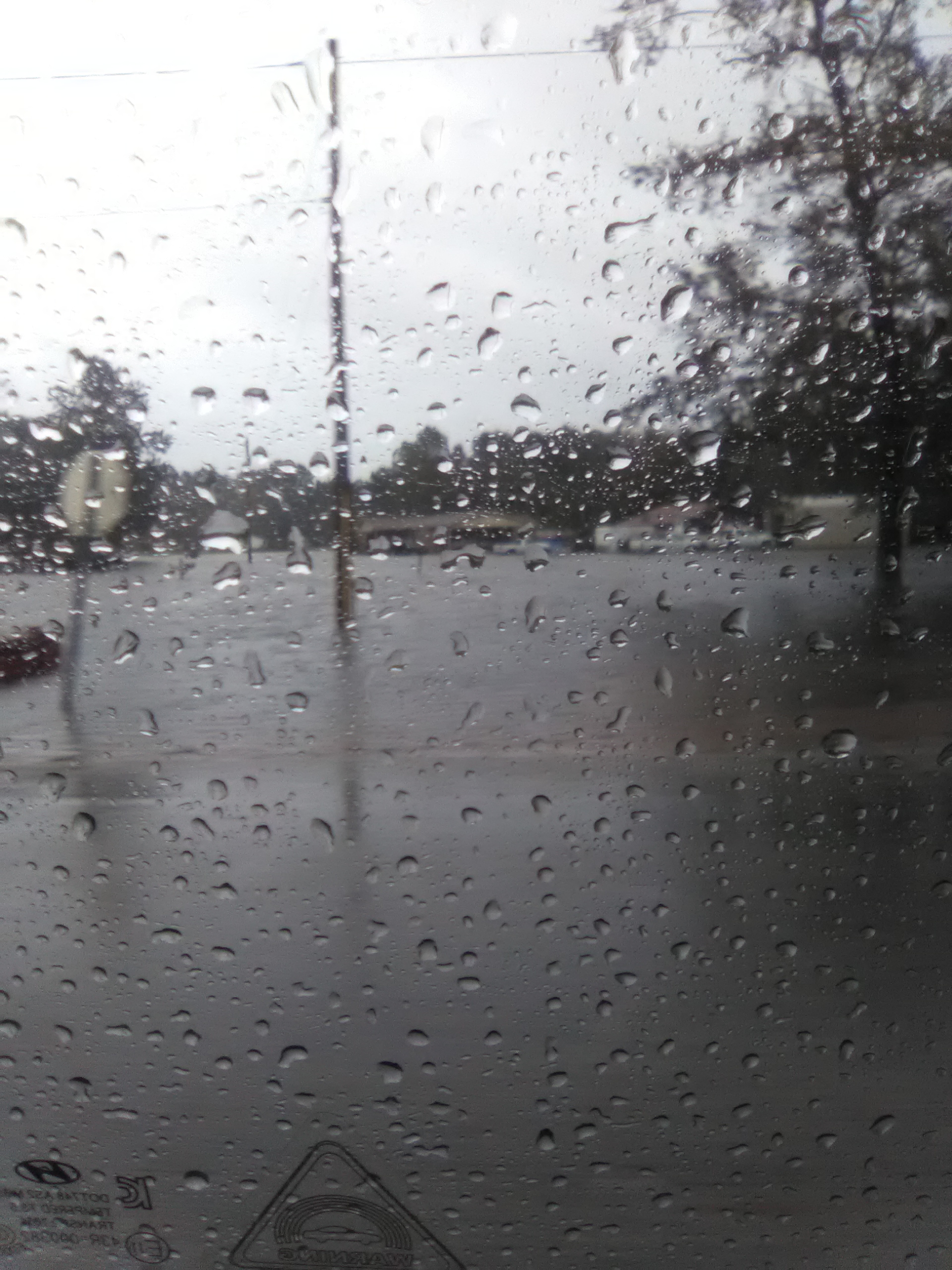
Aftermath of Hurricane Matthew

Aftermath of Hurricane Matthew

Aftermath of Hurricane Matthew

Aftermath of Hurricane Matthew

Aftermath of Hurricane Matthew

Aftermath of Hurricane Matthew

Aftermath of Hurricane Matthew

Aftermath of Hurricane Matthew
Topographic Map of Broad St, Loris, SC, USA
Find elevation by address:

Places near Broad St, Loris, SC, USA:
Loris
Main Street & Railroad Avenue
4249 Walnut St
4629 Circle Dr
4802 Forest Dr
3200 Bryant St
4809 Circle Dr
Trooper Lane
Loris, SC, USA
3576 Rogers Rd
3204 Casey St
Willow Street
5329 Gaylan St
190 State Rd S-26-570
4150 Harrelson Ave
5520 Main St
4375 Harrelson Ave
120 Fox Dale Dr
420 Sc-45
791 Us-701
Recent Searches:
- Elevation of Corso Fratelli Cairoli, 35, Macerata MC, Italy
- Elevation of Tallevast Rd, Sarasota, FL, USA
- Elevation of 4th St E, Sonoma, CA, USA
- Elevation of Black Hollow Rd, Pennsdale, PA, USA
- Elevation of Oakland Ave, Williamsport, PA, USA
- Elevation of Pedrógão Grande, Portugal
- Elevation of Klee Dr, Martinsburg, WV, USA
- Elevation of Via Roma, Pieranica CR, Italy
- Elevation of Tavkvetili Mountain, Georgia
- Elevation of Hartfords Bluff Cir, Mt Pleasant, SC, USA