Elevation of Brill Rd, Star Tannery, VA, USA
Location: United States > Virginia > Frederick County > Back Creek > Star Tannery >
Longitude: -78.450607
Latitude: 39.084948
Elevation: 312m / 1024feet
Barometric Pressure: 98KPa
Elevation Map:
Satellite Map:
Related Photos:
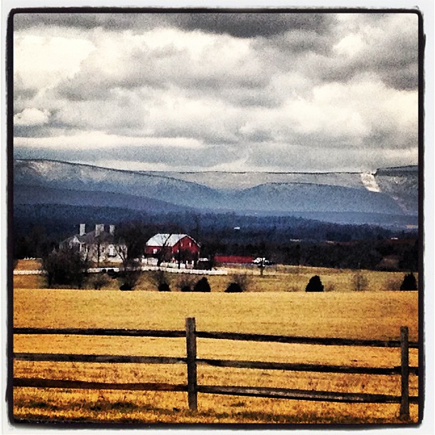
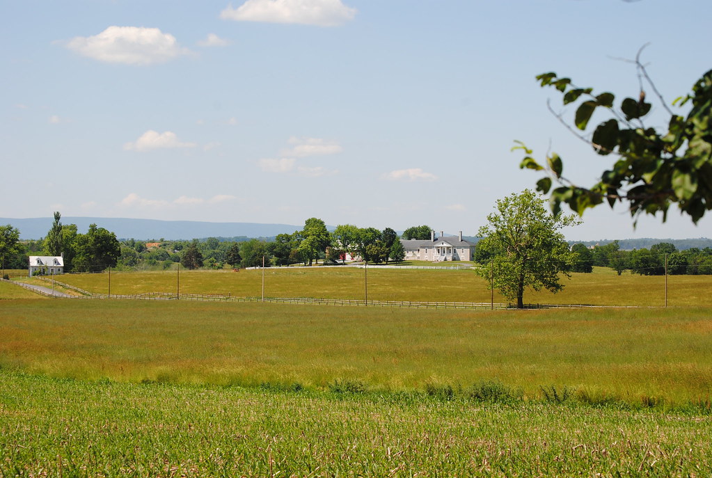
Belle Grove
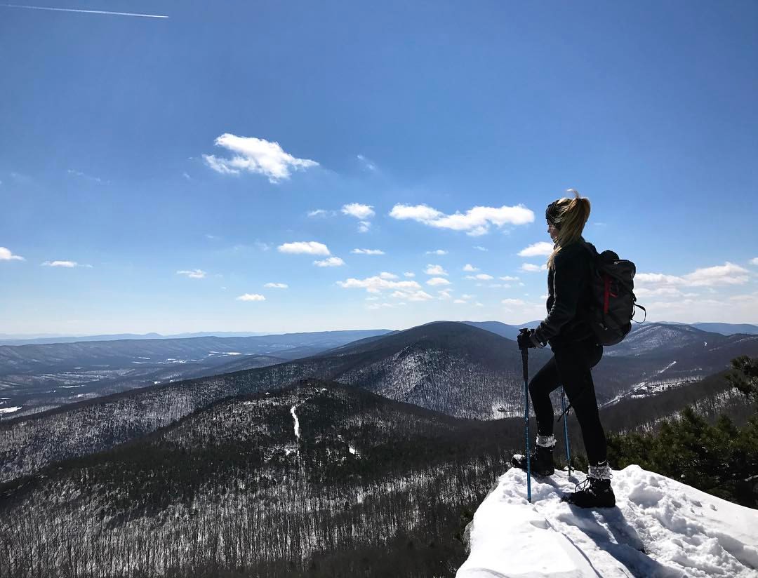
We weren't expecting the waist-deep snow-drifts... neither were my shoes, but this view made it worth the pain.???? (debatably)
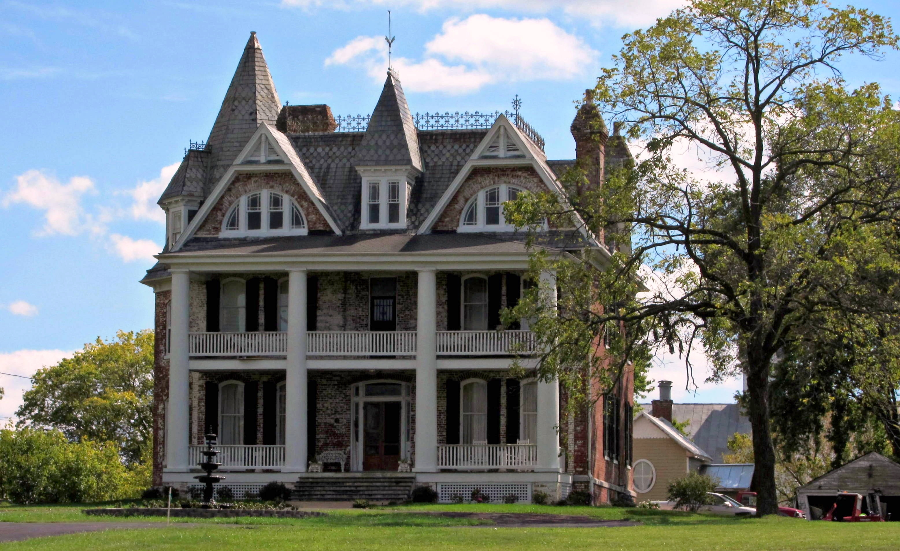
Monte Vista

Monte Vista

Hotel Strasburg - Then and Now

Enter Warren County, leave Shenandoah County
Good morning from Strasburg, Virginia! We drove 8 hours yesterday from Massachusetts, and have about 6 hours ahead of us before a arriving in Gatlinburg, Tennessee. If you thought this was a pretty view just wait... The Great Smoky Mountains will be breat
View behind Denny's

View from Black Rock

Taking in the view from the #frontporch of the #oldredstore in #caponsprings

View from Boonesboro Washington Monument

View from Black Rock

The #morning #panorama #view from the #cottage @ #caponsprings

The view at Christina's Cafe. Chillin' at lunch on this day off.
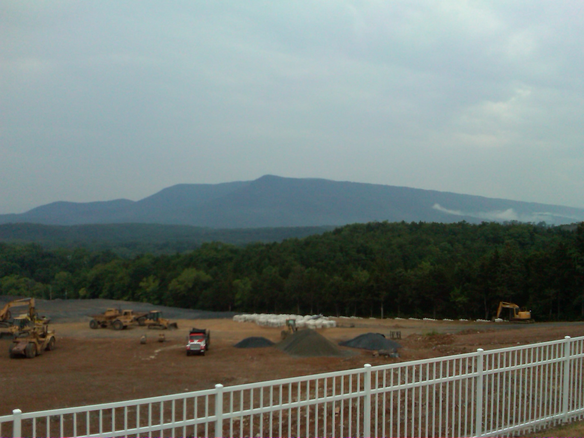
DSC02420.JPG
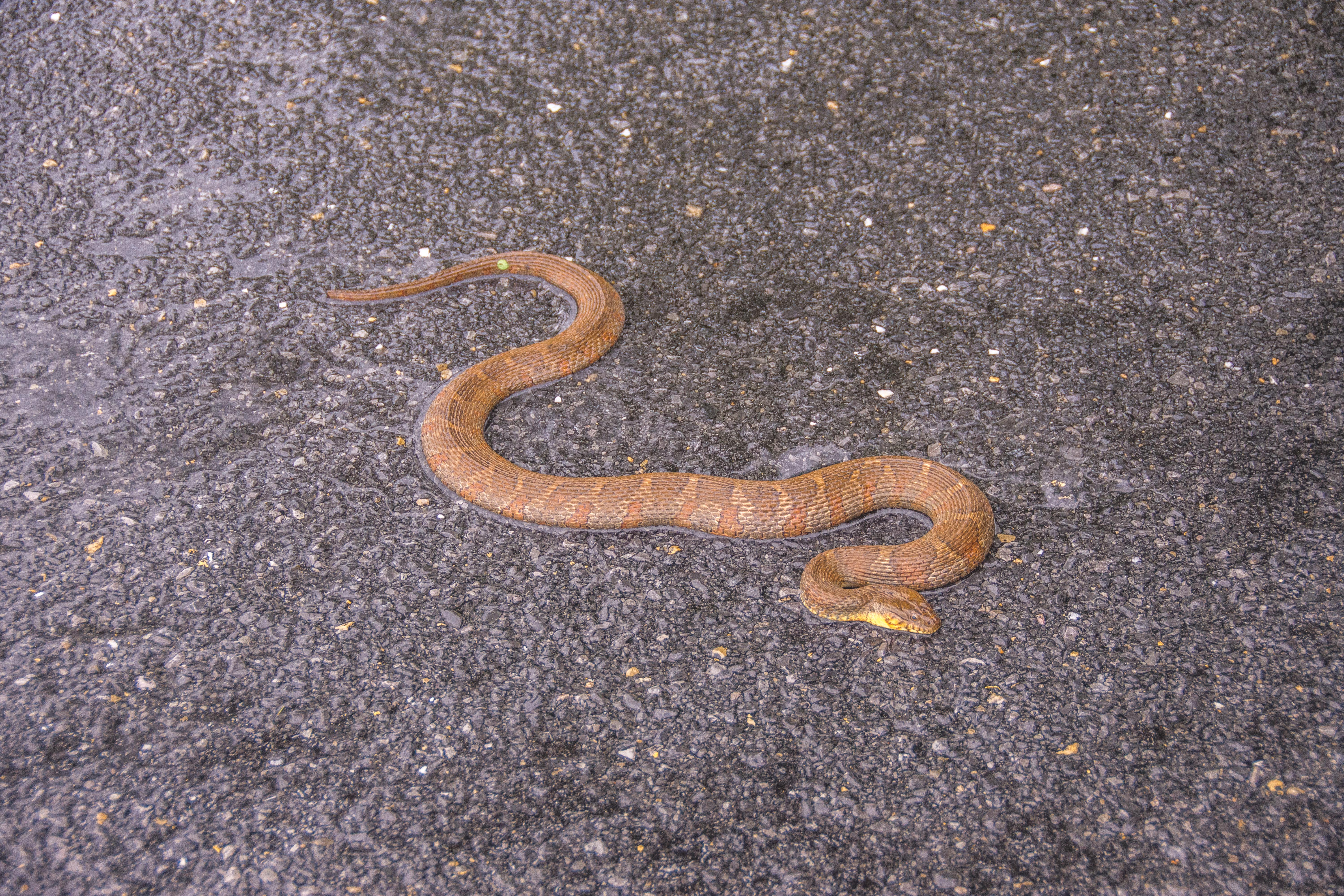
Northern Watersnake
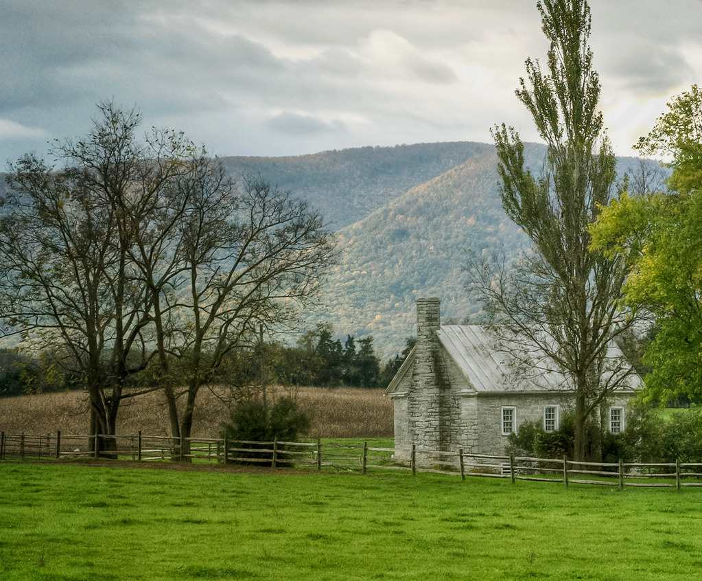
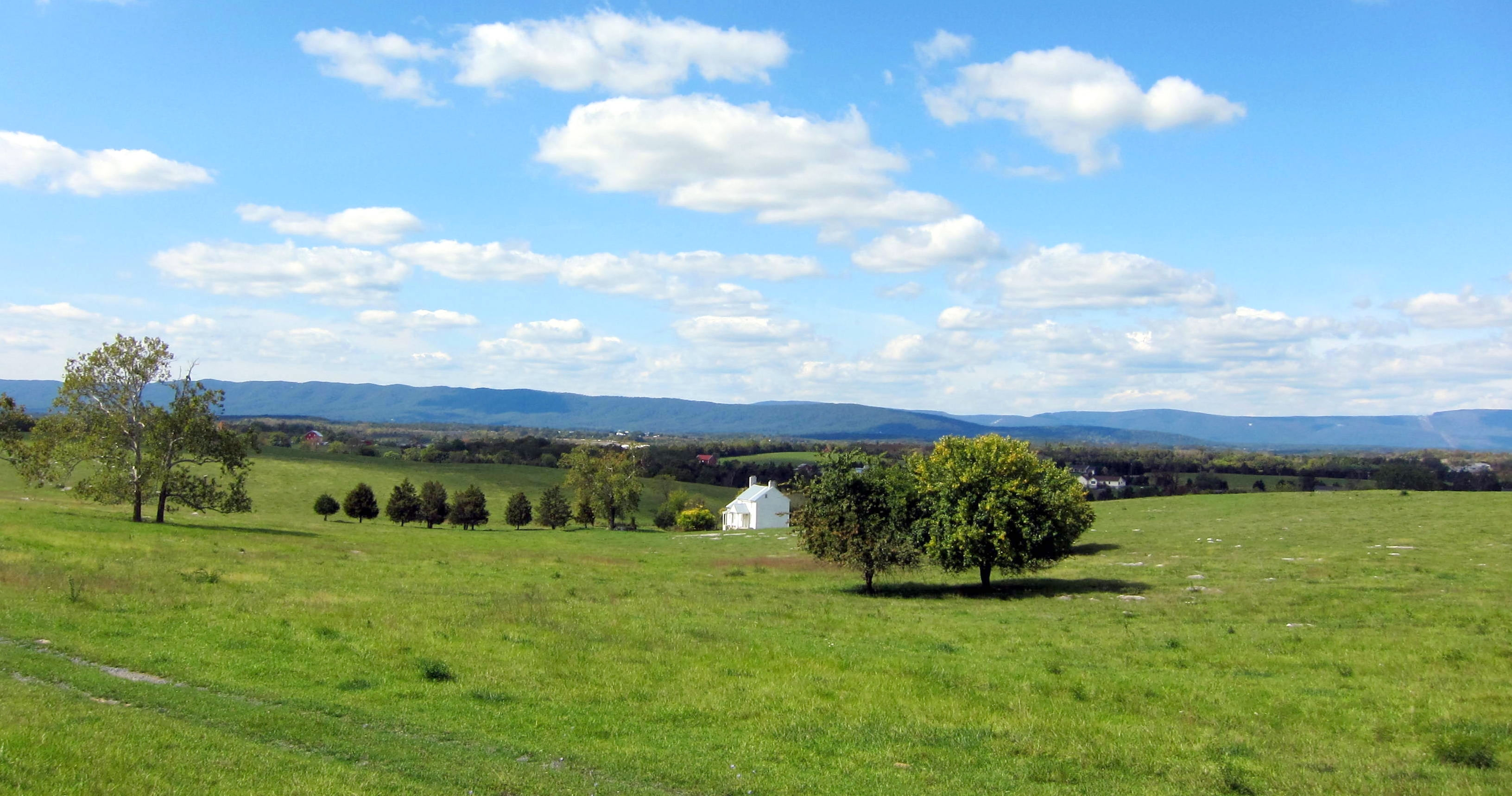
View towards Belle Grove
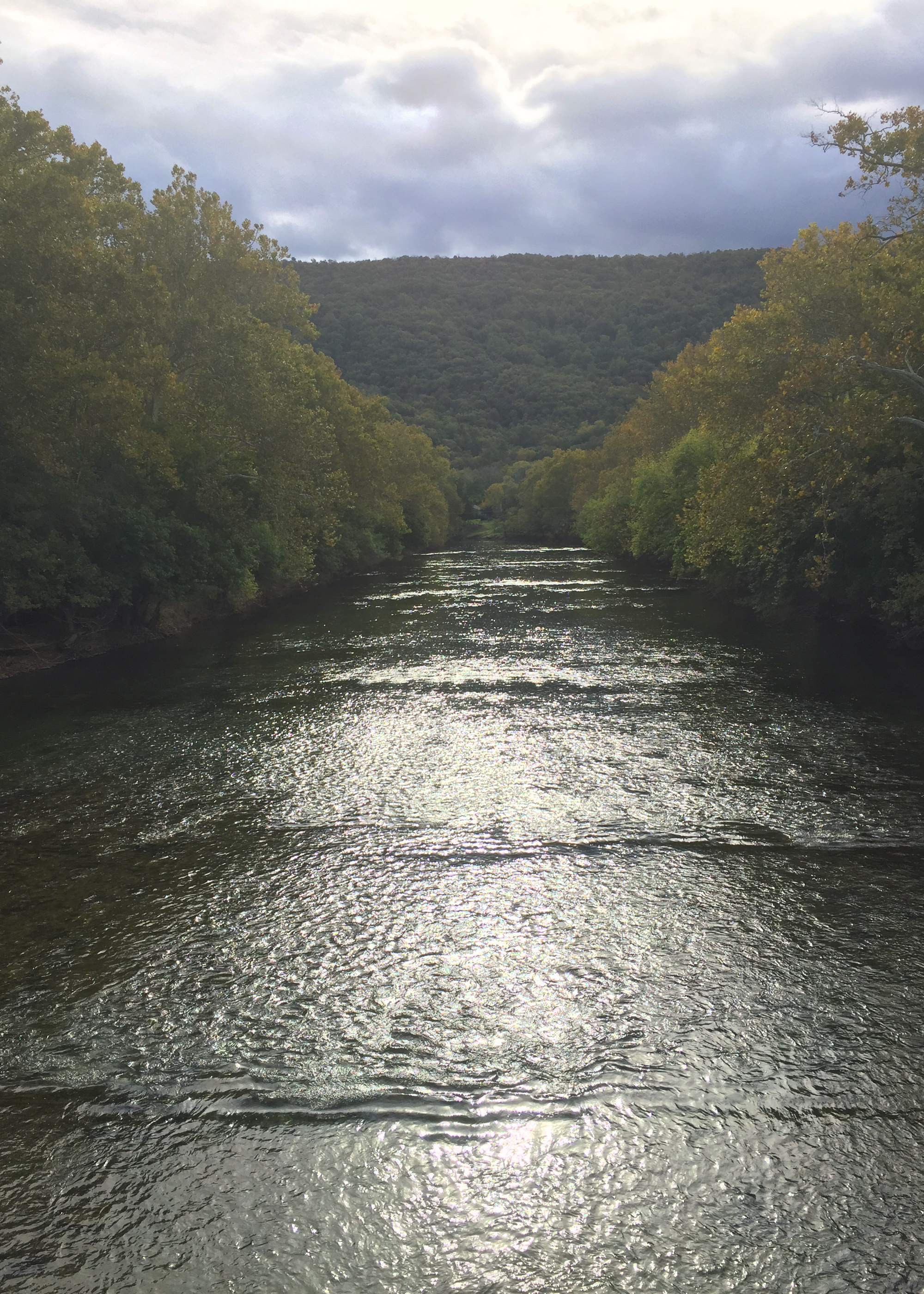
River View
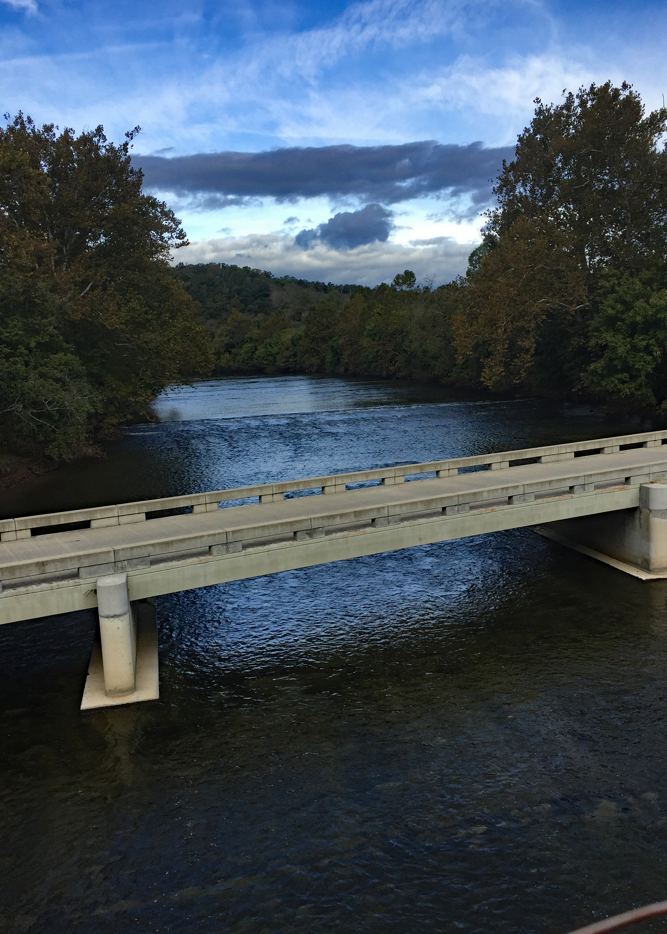
North Fork view from Suspension Bridge
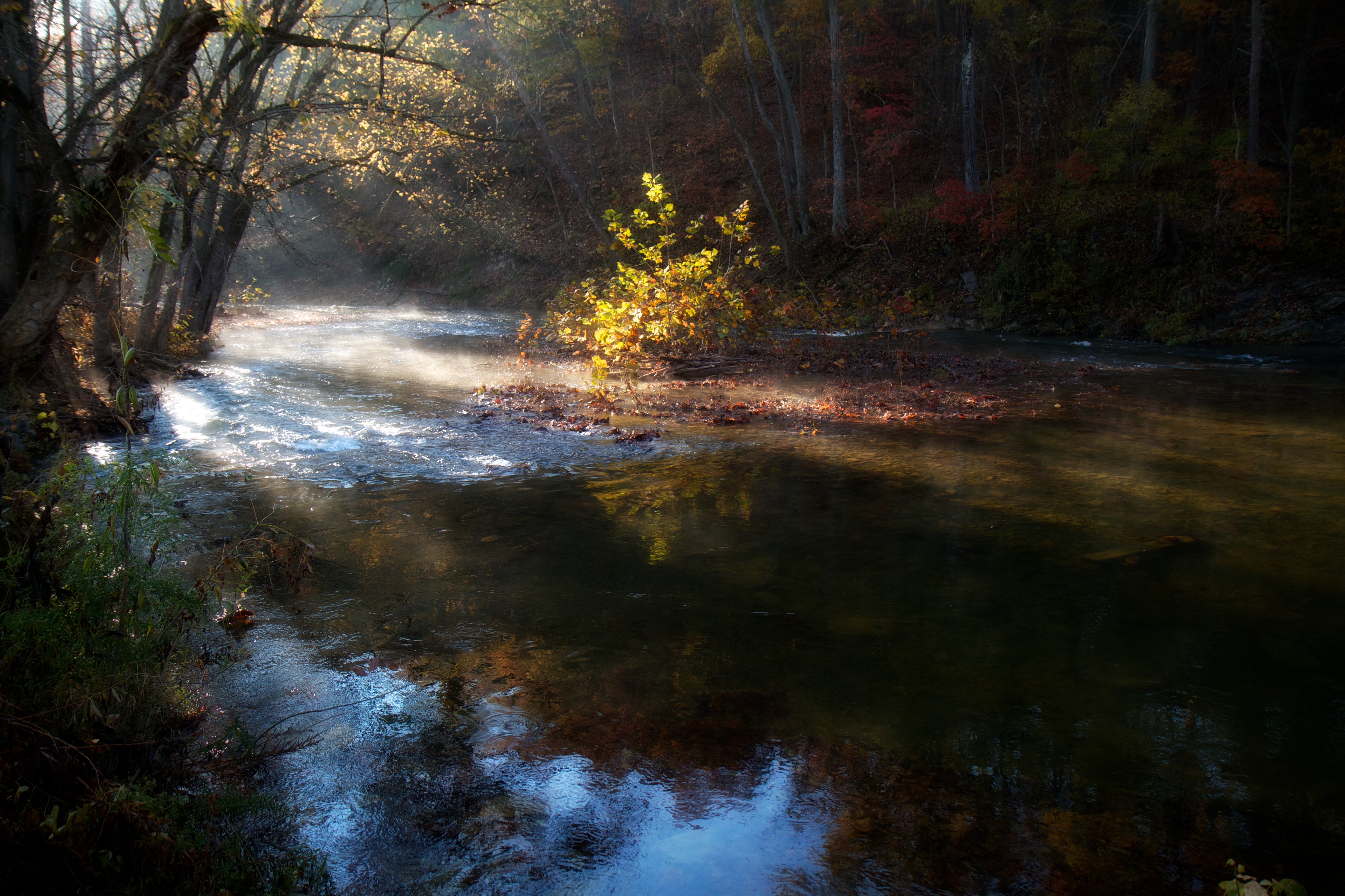
Morning Light on Cedar Creek

Belle Grove Road
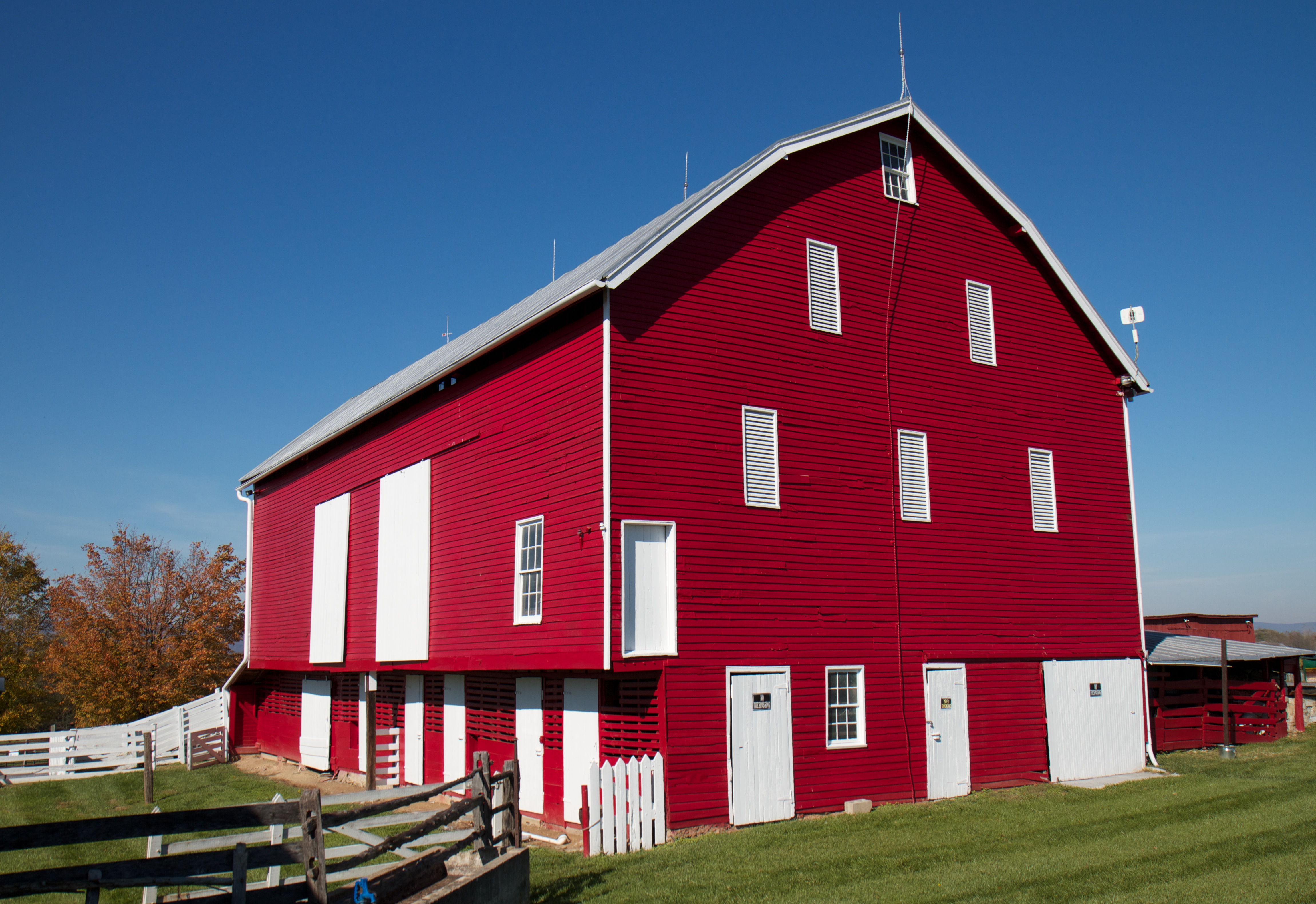
The Red Barns of Cedar Creek
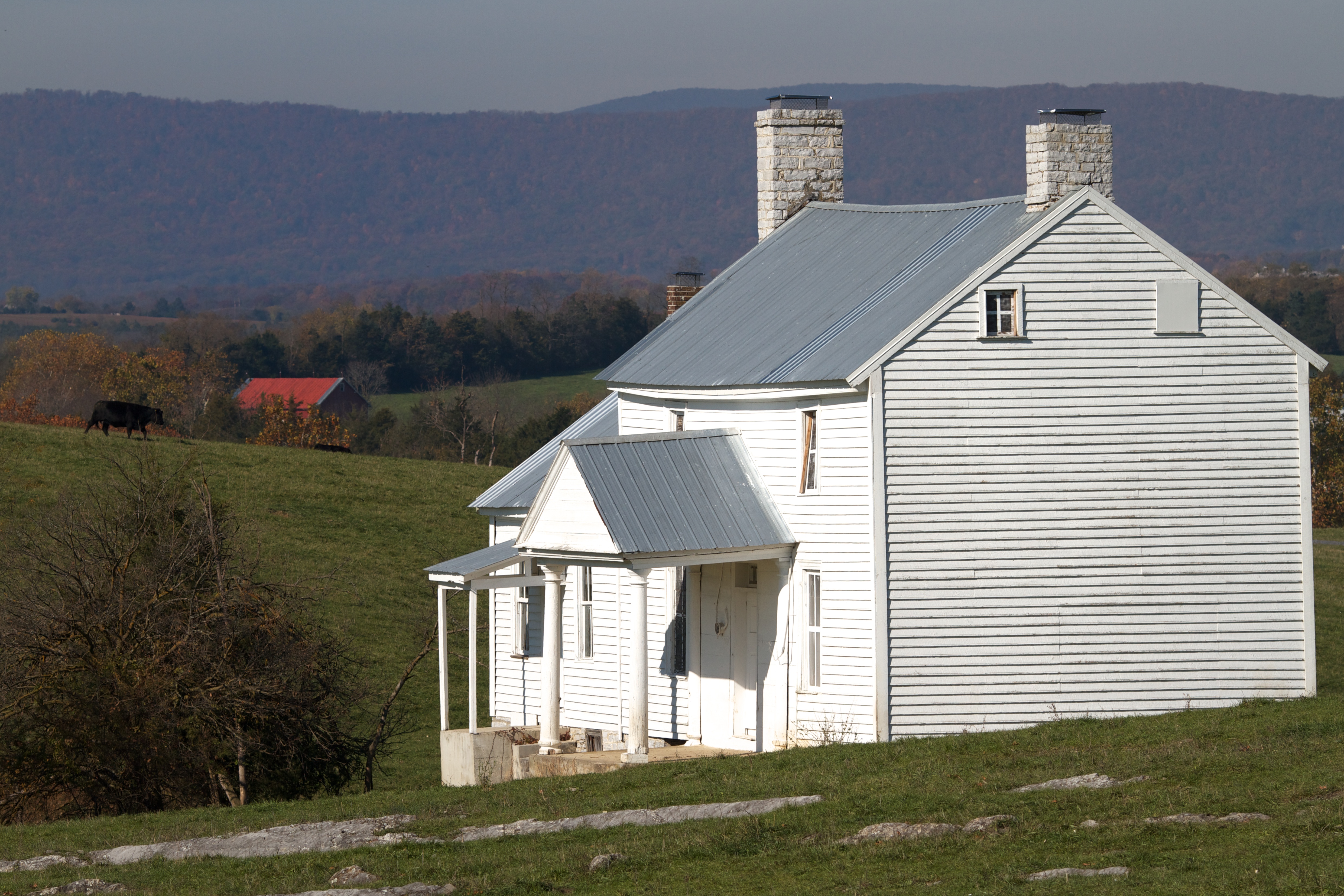
The Heater House
2010-10-04
Taking a ride before the game today

cows! in middletown
fenced in
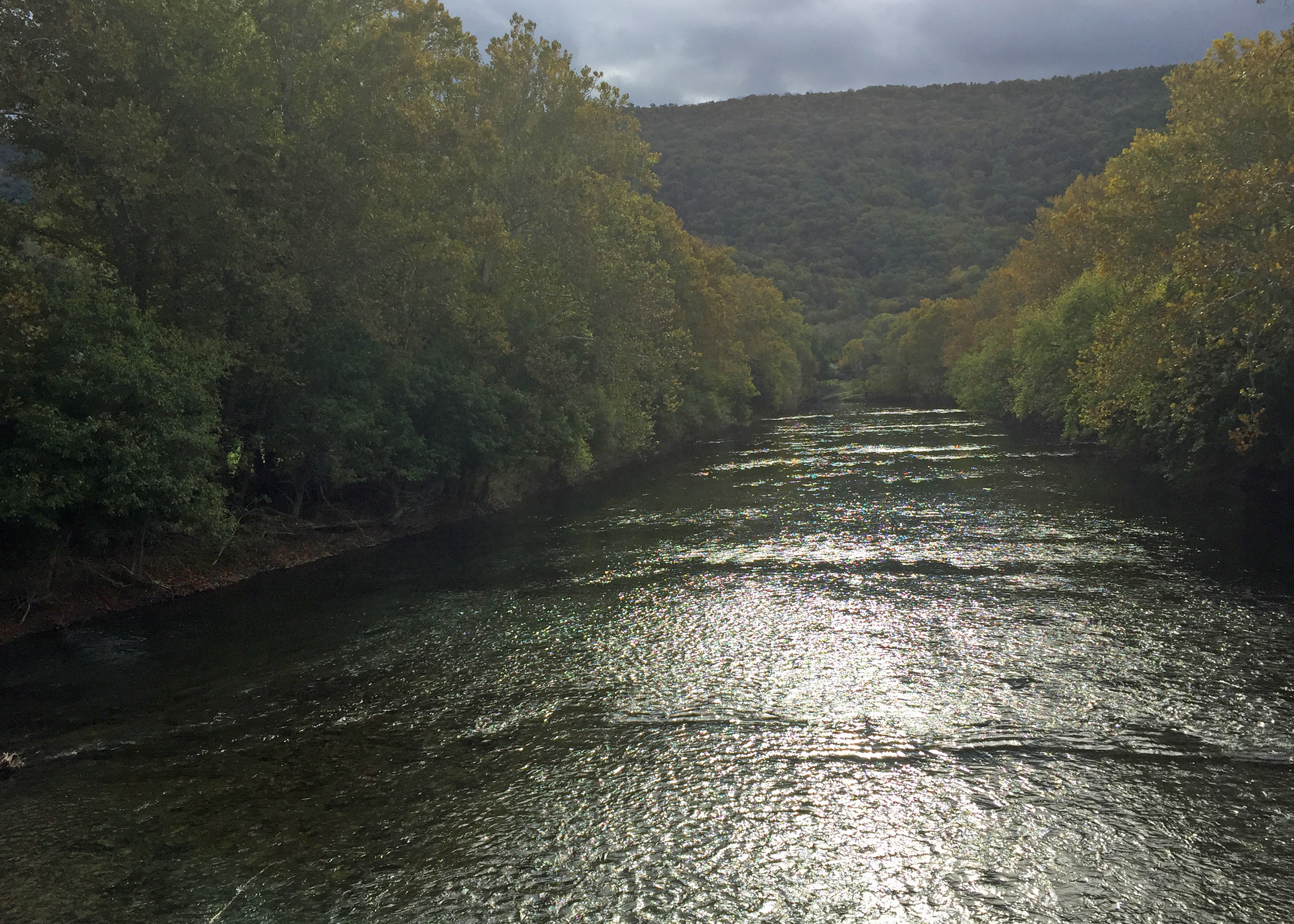
River View
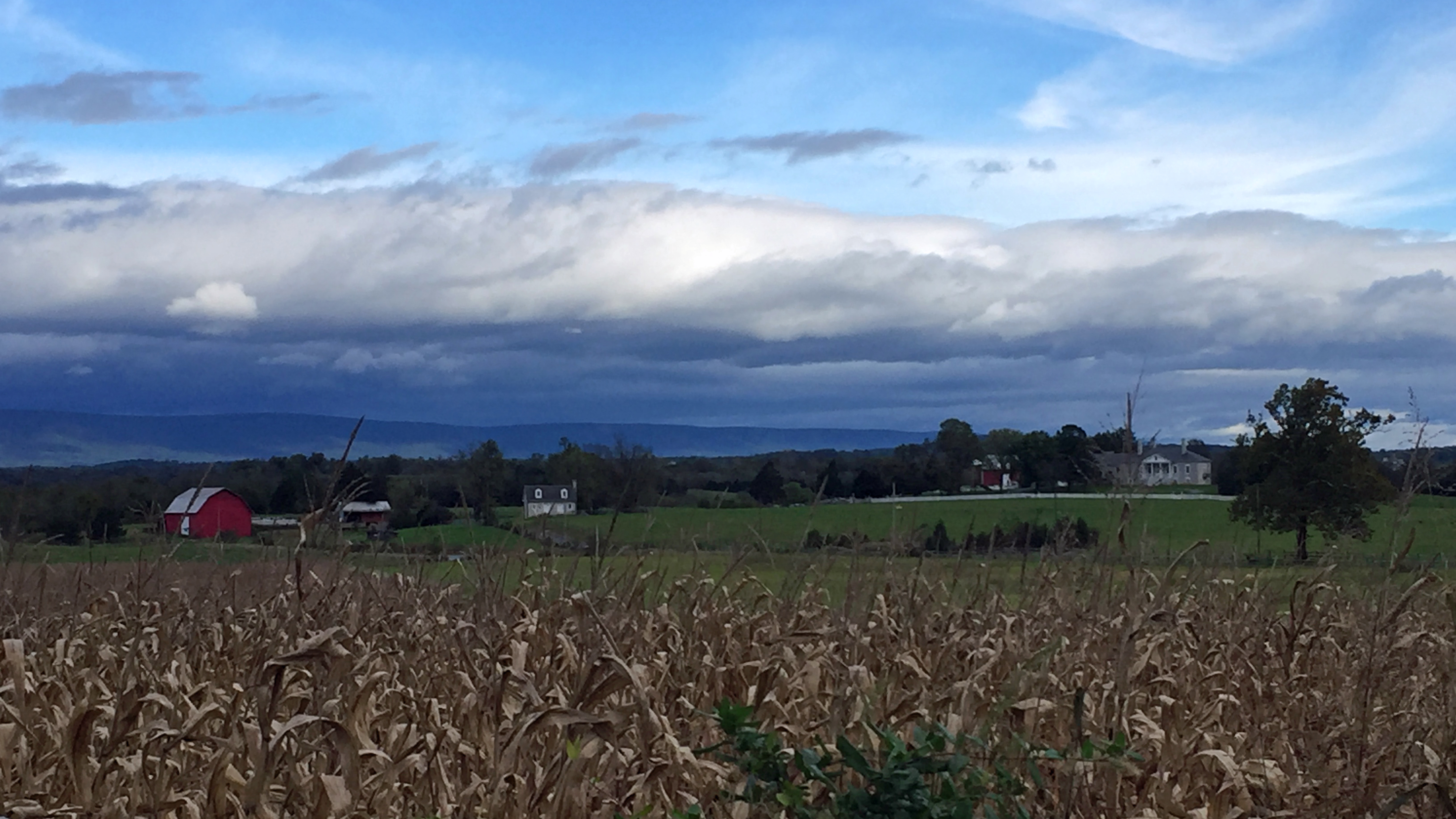
Cedar Creek and Belle Grove National Historical Park
View from Belle Grove
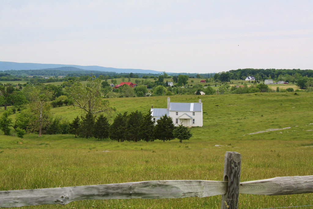
Heater House
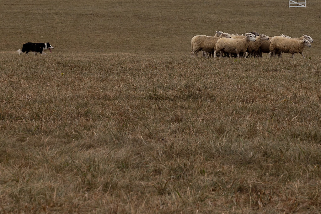
Herd the sheep
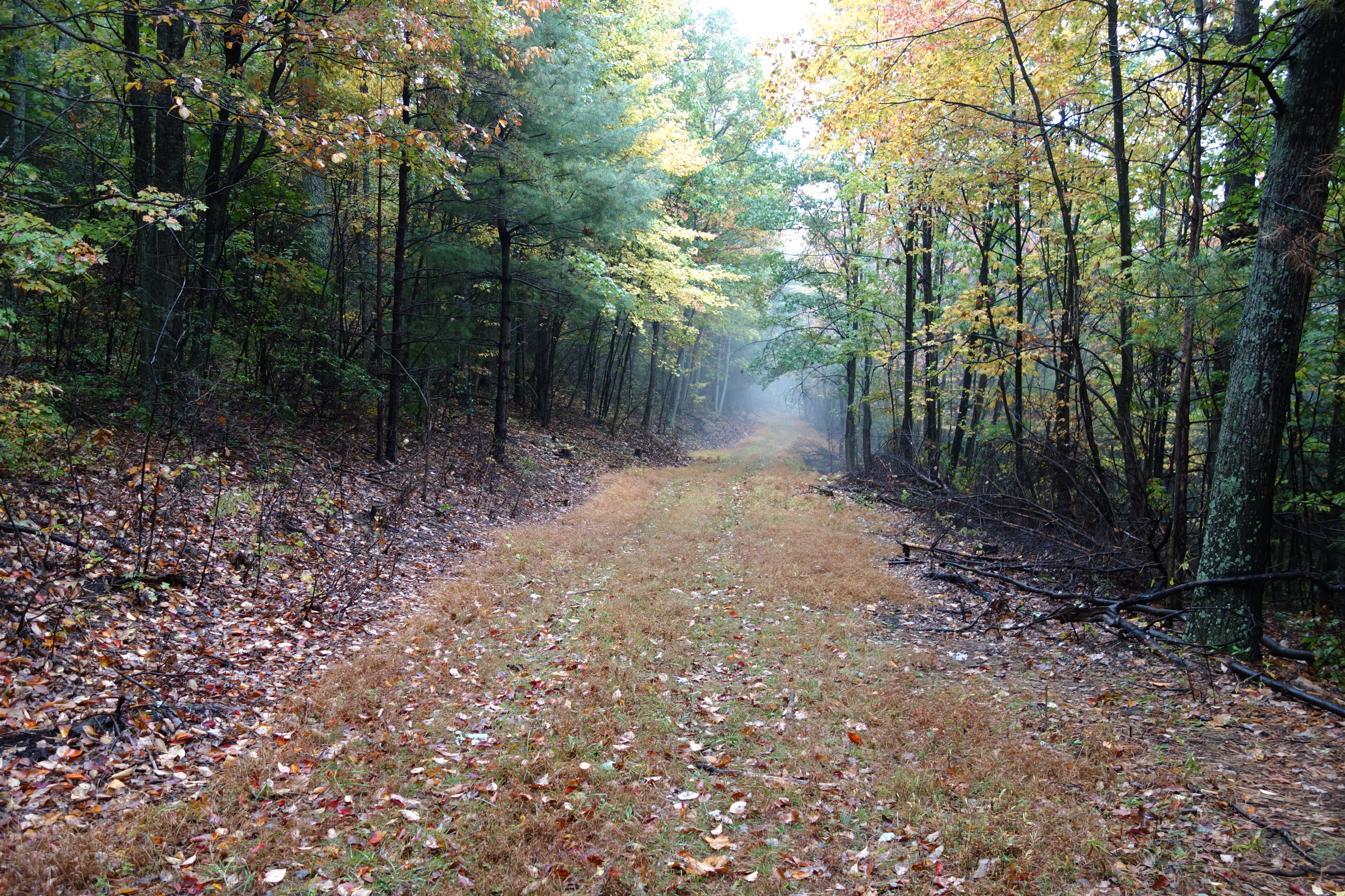
DSC00594 137 TT jct Gander Rock Rd
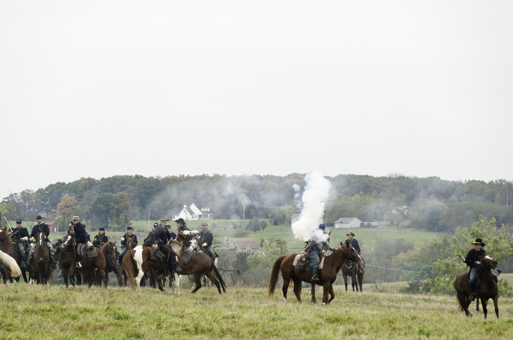
Cedar_Creek_Re-enactment_101913-51
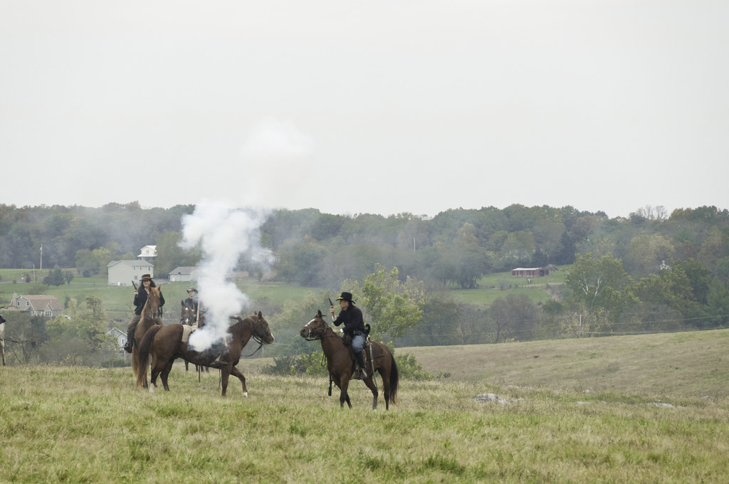
Cedar_Creek_Re-enactment_101913-52
BELLE GROVE
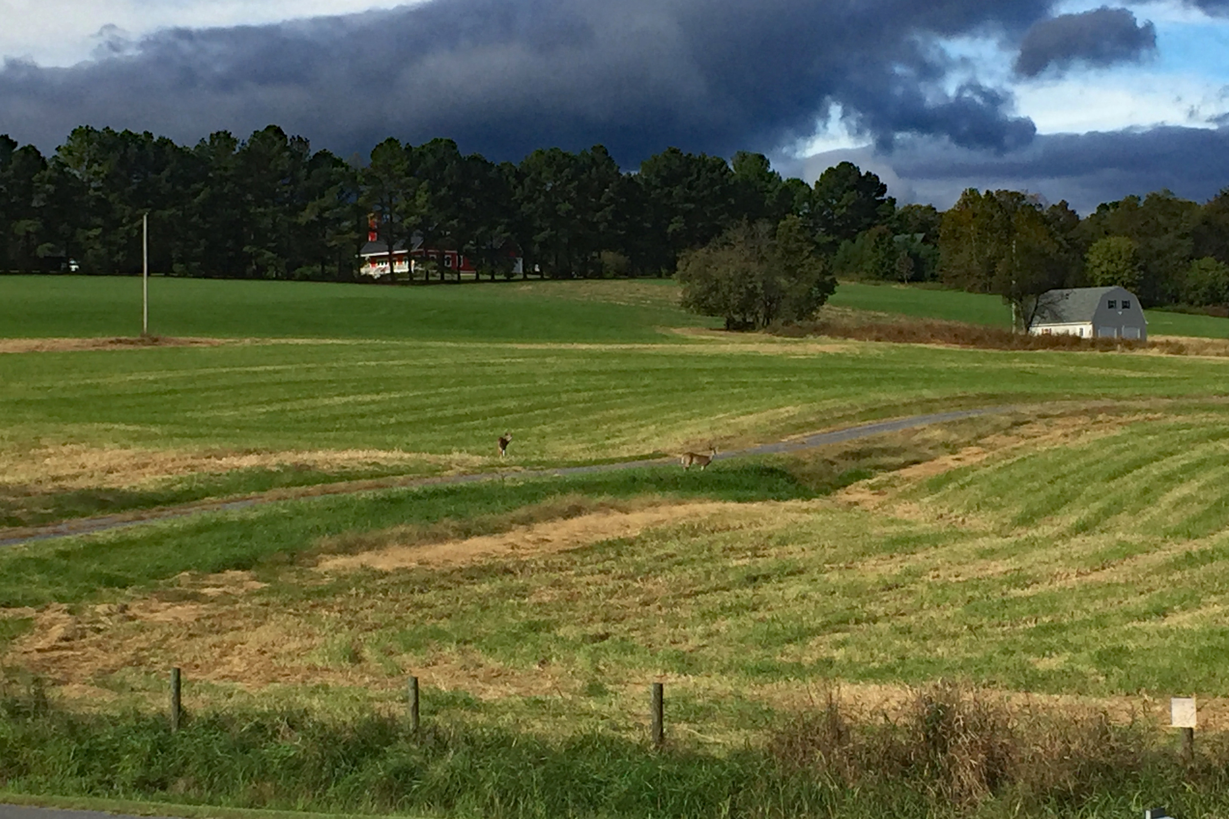
IMG_5311- Buck and Doe
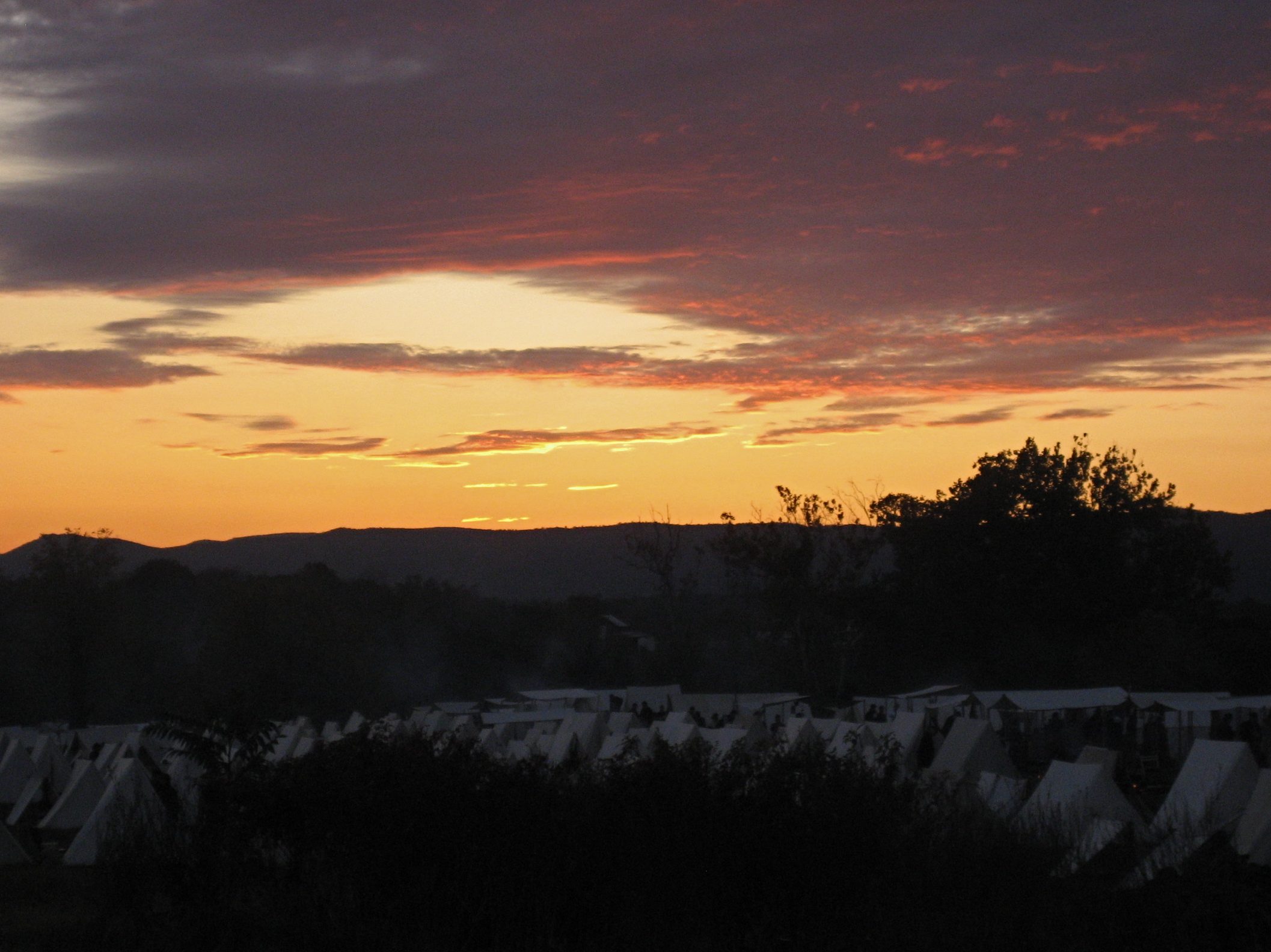
Sunset Over the Camp
DSC00587 135 TT jct Gander Rock Rd and Waites Run Rd
Topographic Map of Brill Rd, Star Tannery, VA, USA
Find elevation by address:

Places near Brill Rd, Star Tannery, VA, USA:
Star Tannery
1147 N Pifer Rd
1851 Great Mountain Ln
375 Flickertail Ln
227 Mile Ridge Estates
Unnamed Road
564 Jesse Ln
177 Cullers Ln
531 Outback Trail
Kump Road
Capon
Lehew, WV, USA
Capon River Rd, High View, WV, USA
Yellow Spring
851 Pinetop Rd
Capon River Rd, High View, WV, USA
Evergreen Farms Drive
Peaks View Drive
Baker Mountain Drive
15 W Main St
Recent Searches:
- Elevation of Corso Fratelli Cairoli, 35, Macerata MC, Italy
- Elevation of Tallevast Rd, Sarasota, FL, USA
- Elevation of 4th St E, Sonoma, CA, USA
- Elevation of Black Hollow Rd, Pennsdale, PA, USA
- Elevation of Oakland Ave, Williamsport, PA, USA
- Elevation of Pedrógão Grande, Portugal
- Elevation of Klee Dr, Martinsburg, WV, USA
- Elevation of Via Roma, Pieranica CR, Italy
- Elevation of Tavkvetili Mountain, Georgia
- Elevation of Hartfords Bluff Cir, Mt Pleasant, SC, USA