Elevation of Frederick County, VA, USA
Location: United States > Virginia >
Longitude: -78.260102
Latitude: 39.2096441
Elevation: 268m / 879feet
Barometric Pressure: 98KPa
Elevation Map:
Satellite Map:
Related Photos:

Just Drifting By
CHERRY PLUM.....

Over 800 views! Thanks everyone
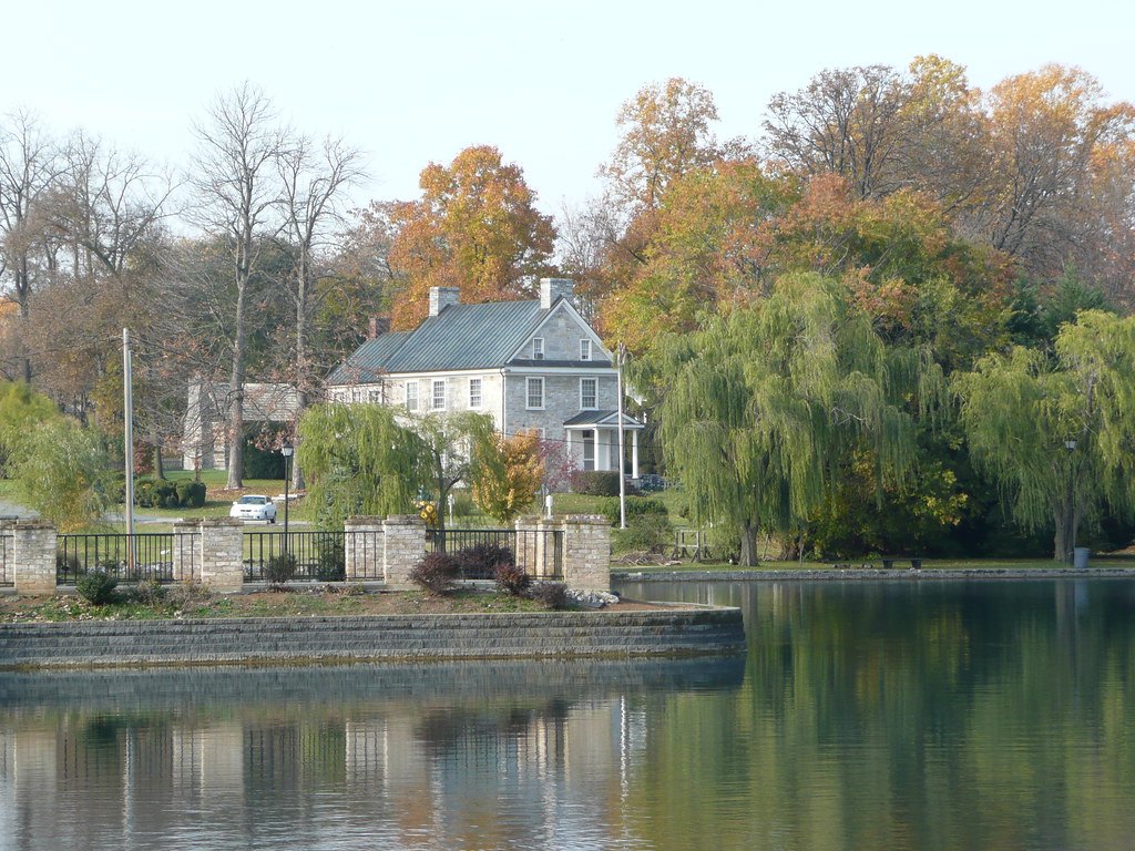
Across the Lake

Fisheye view of Winchester, Virginia
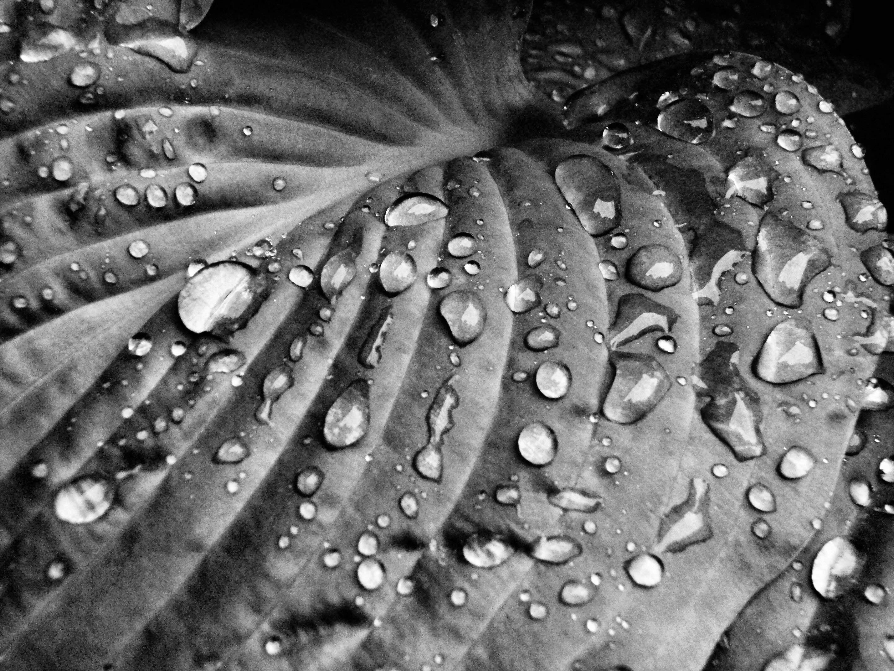
Rain Drops on Hosta II
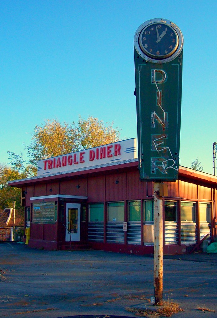
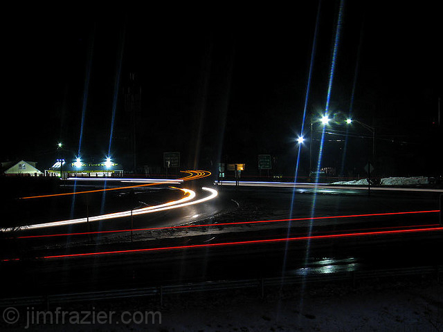
Triangle Diner
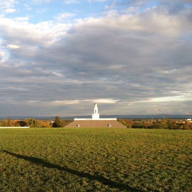
My favorite view in town. #handley #highschool #shadow #evening #latergram #winchester #virginia
The View from Room 301

Zach Gladden Drummer Mosiac Poster

Patsy Cline Grave- Shenandoah Memorial Park- Winchester VA (3)
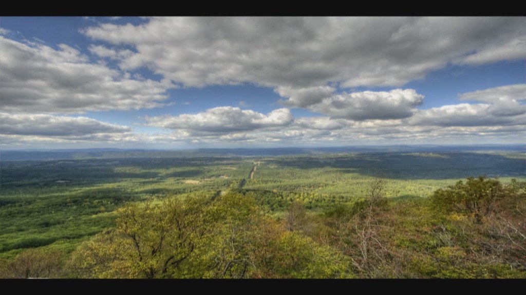
Third Winchester: Huntsberry Farm View
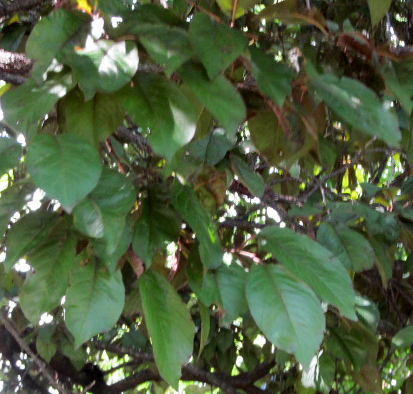
CHERRY PLUM.....
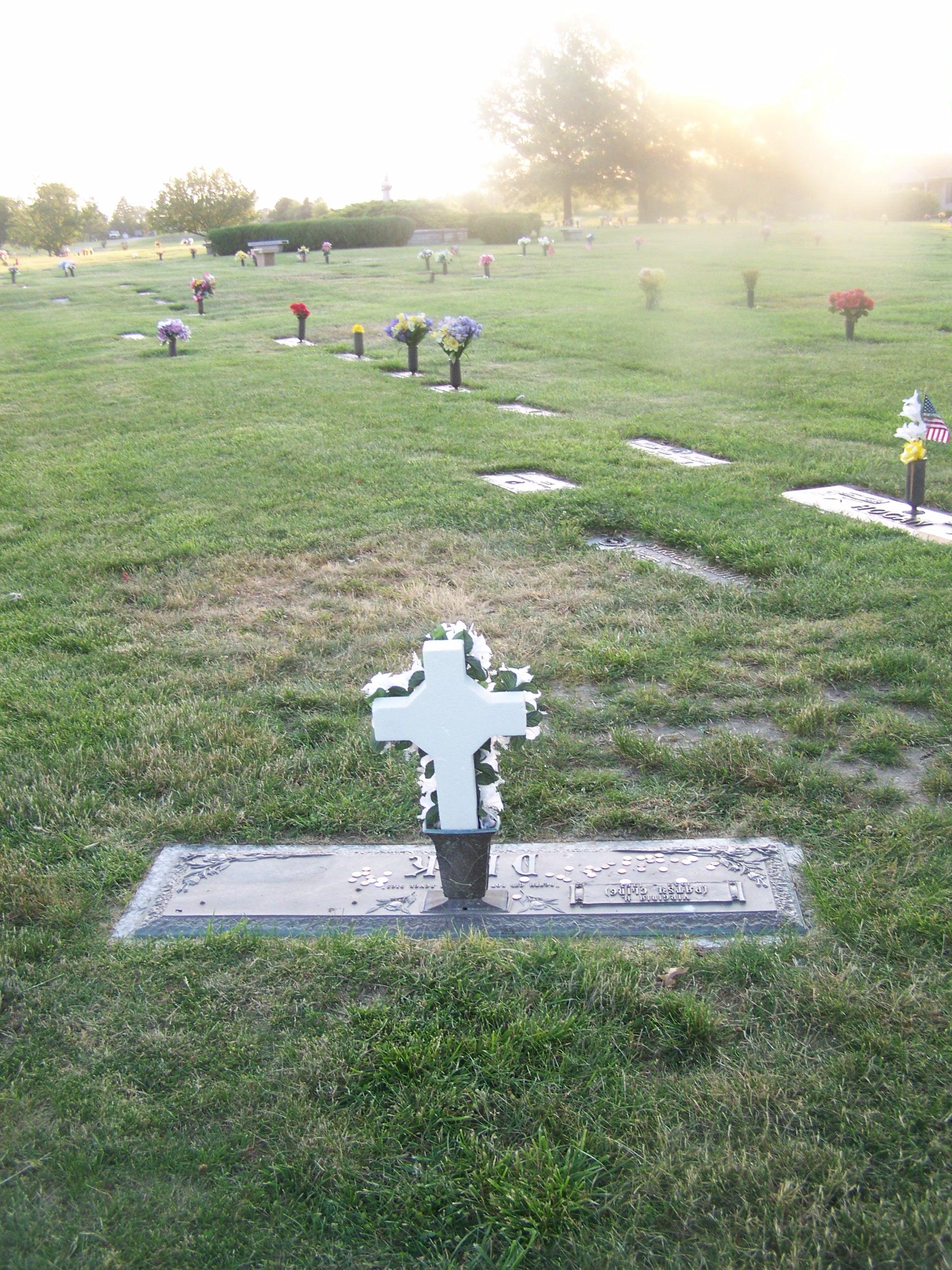
Patsy Cline Grave- Shenandoah Memorial Park- Winchester VA (2)
Another view from the entrance
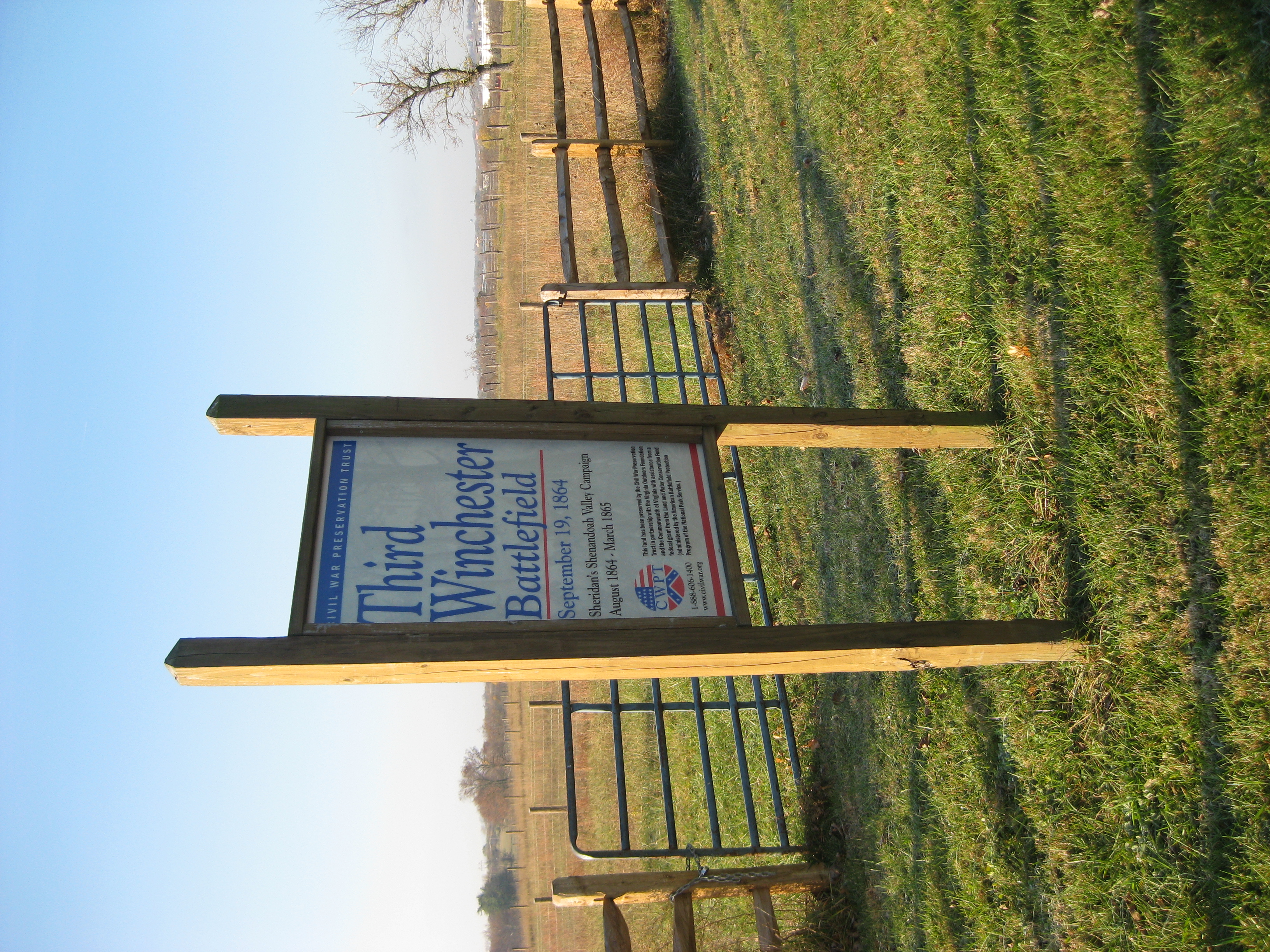
Third Winchester Battlefield
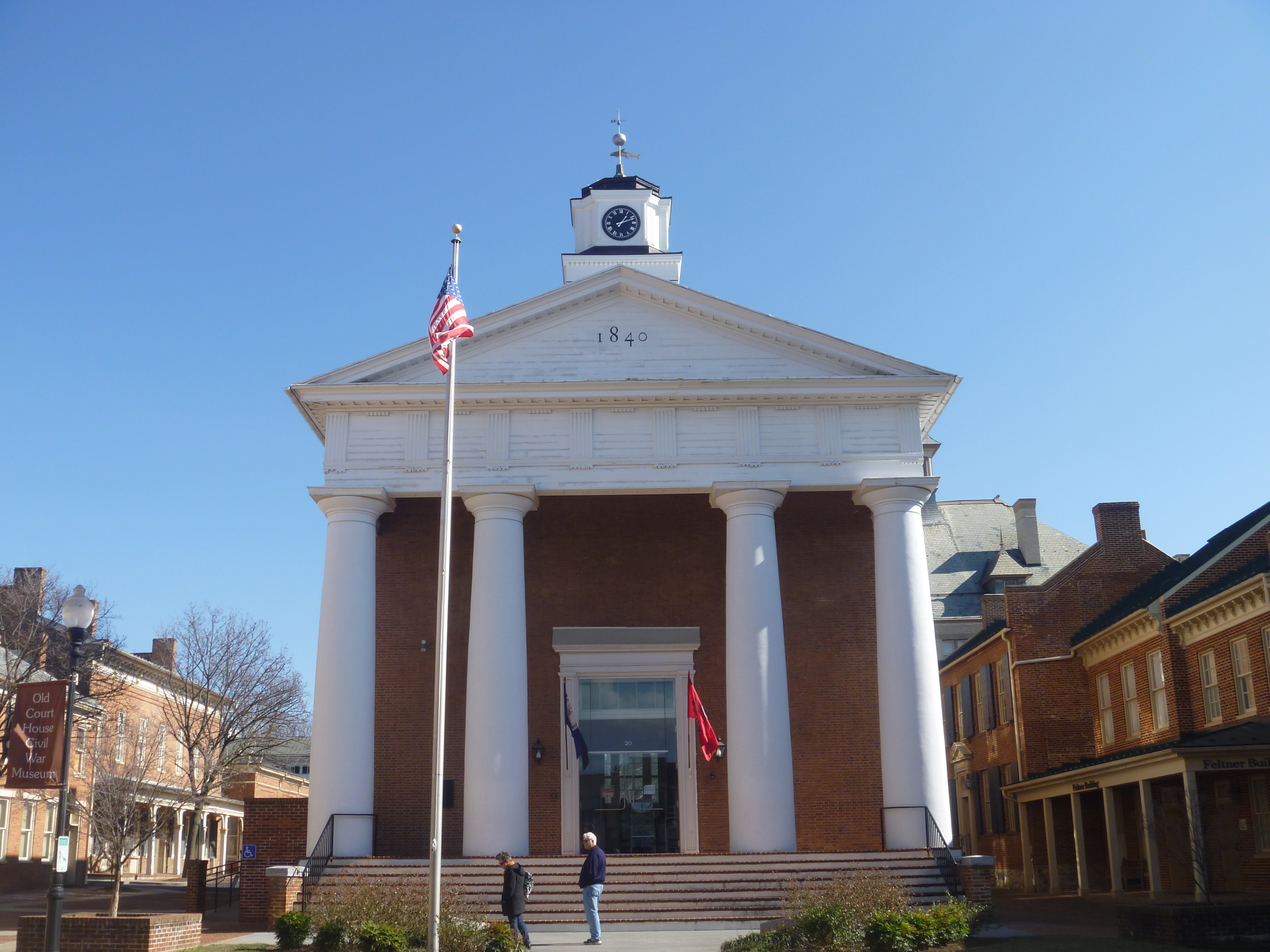
Front View, Old Frederick County Courthouse
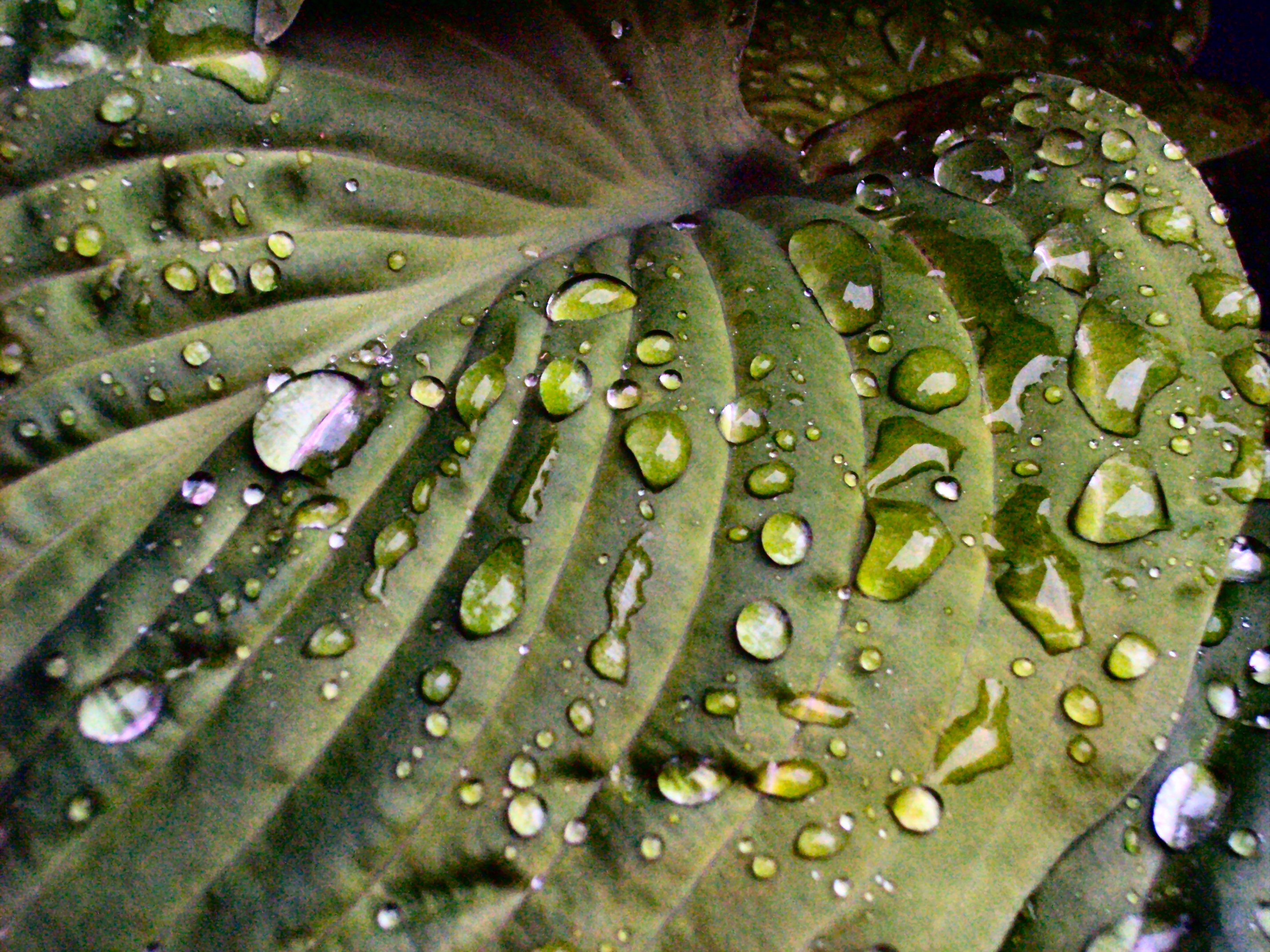
Rain Drops on Hosta
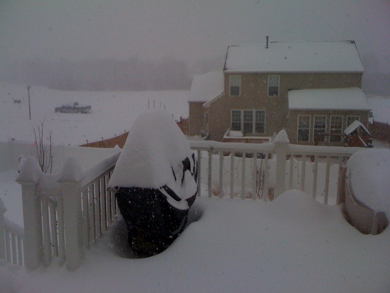
View out the backdoor: Snowmaggedeon!
Third Winchester Battlefield

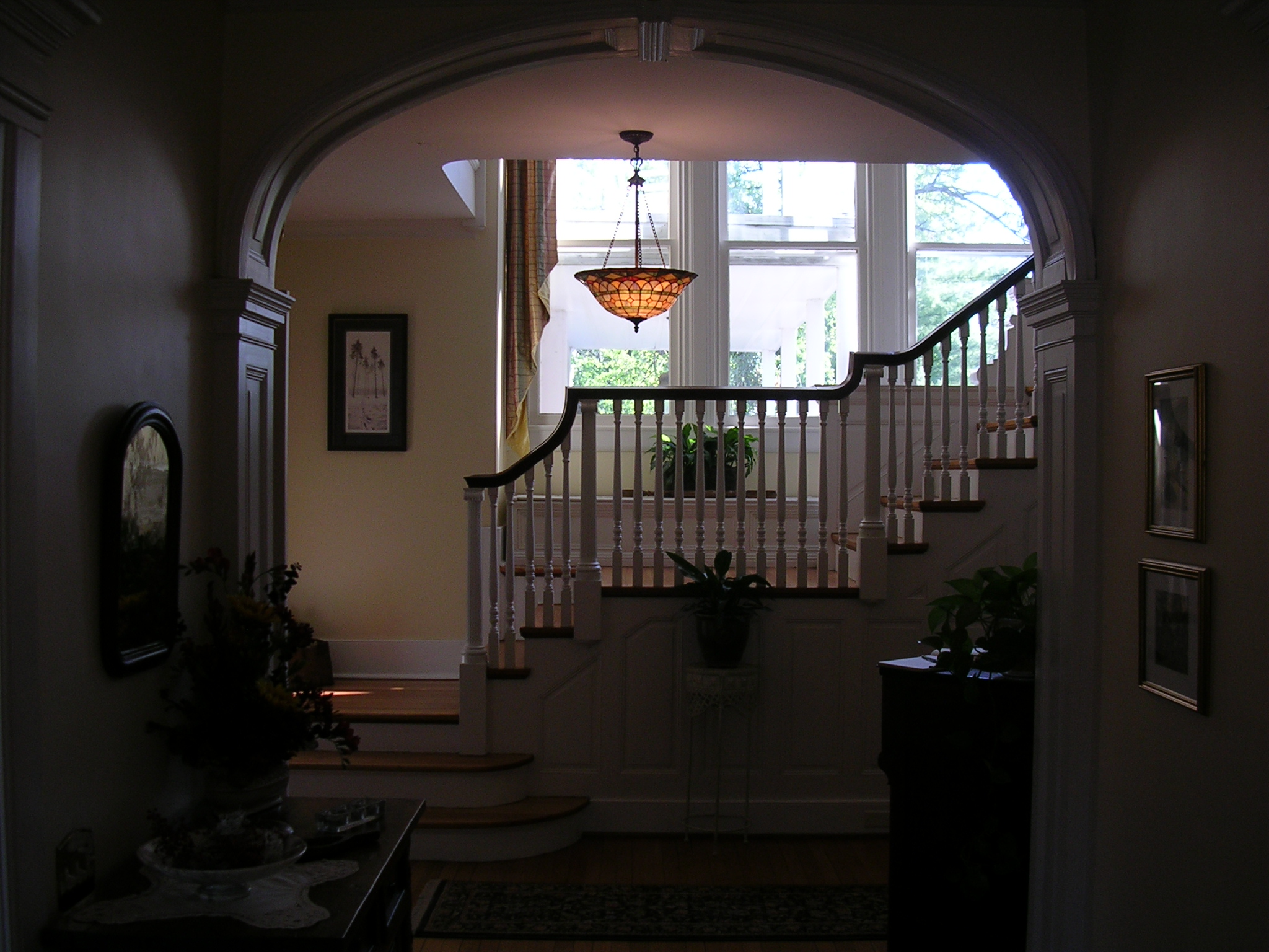
The house
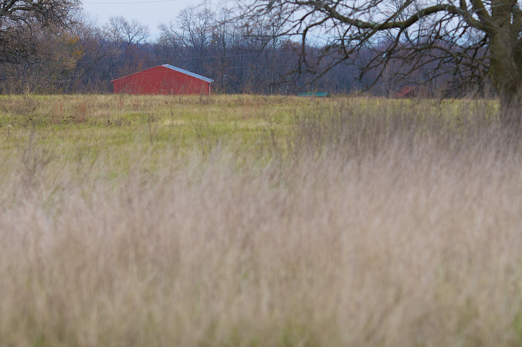
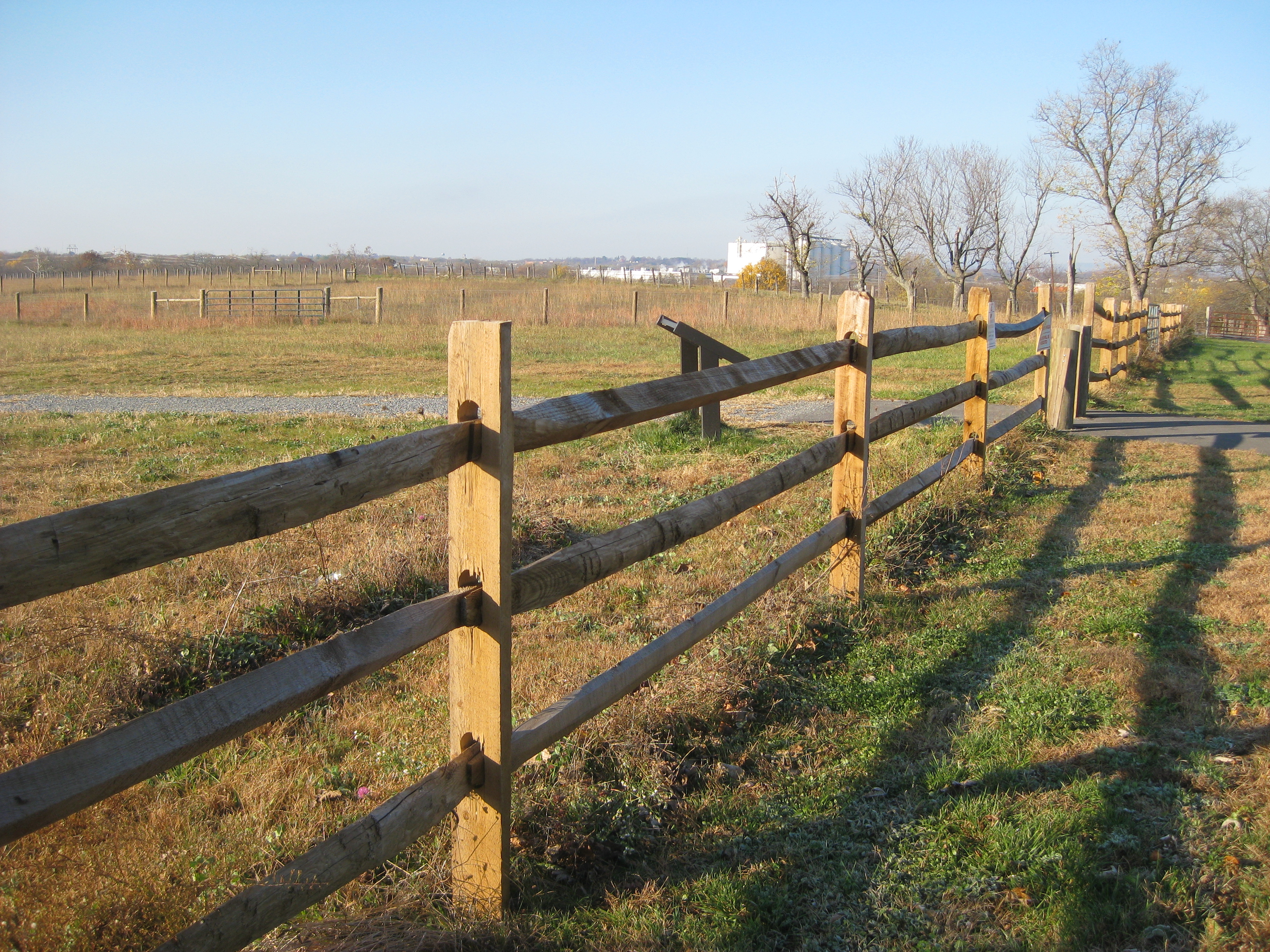
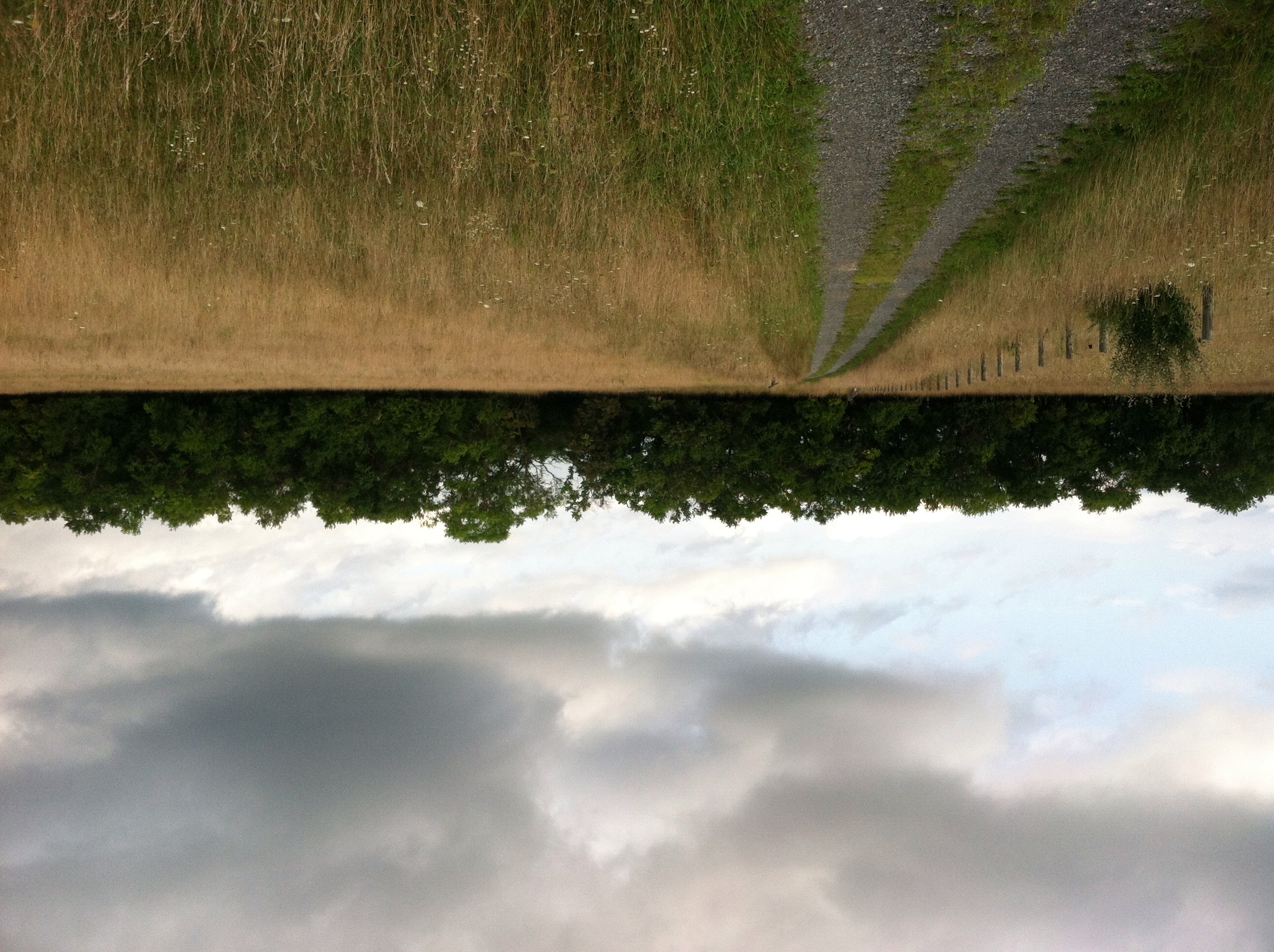
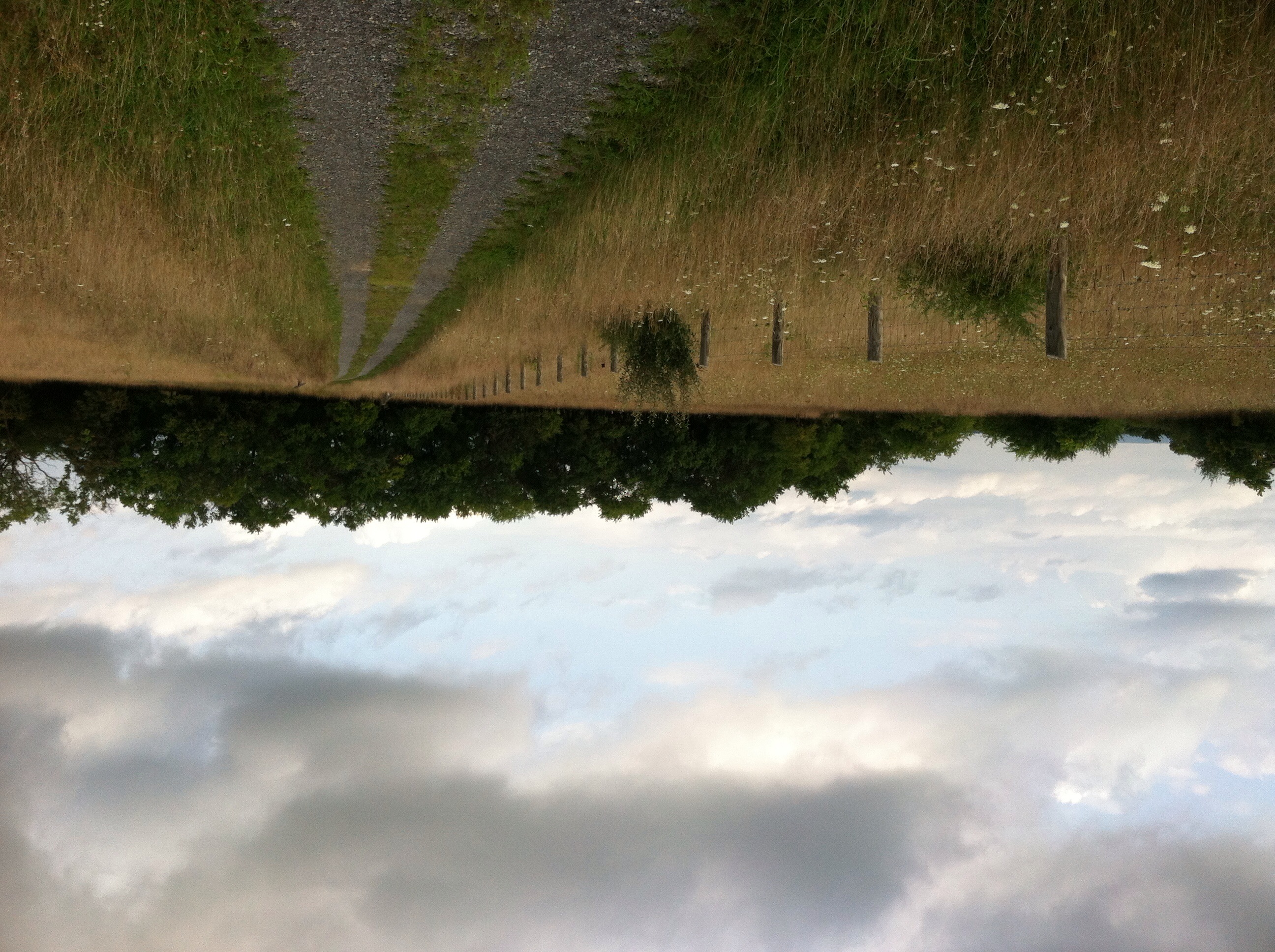
Virginia Farm Land
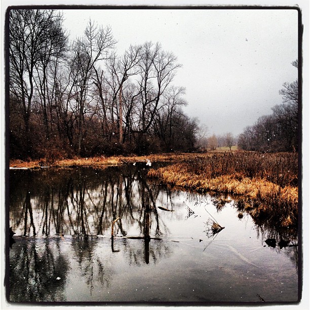
Snow along the banks of Red Bud Run
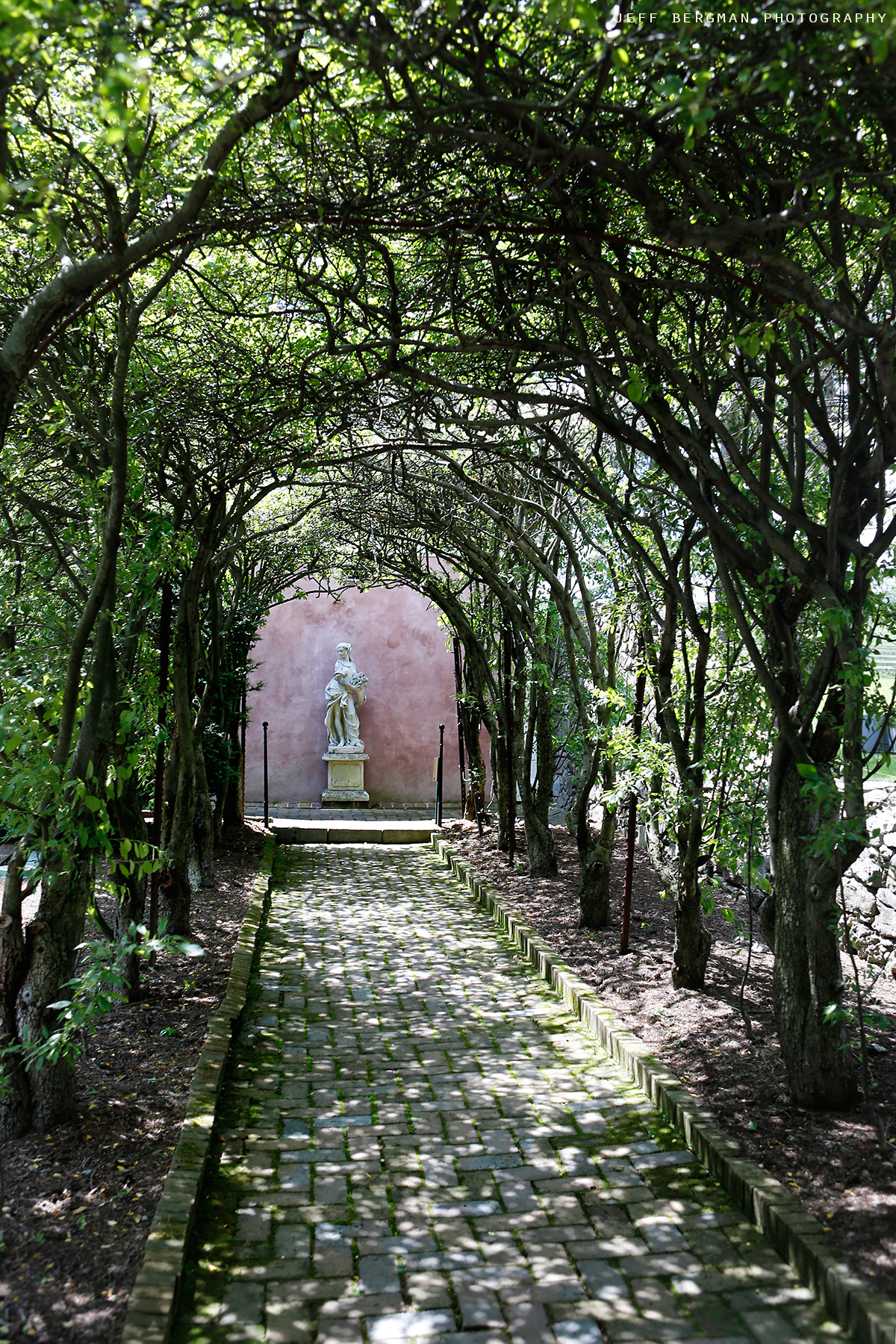
Glen Burnie Gardens - Pleached Alee
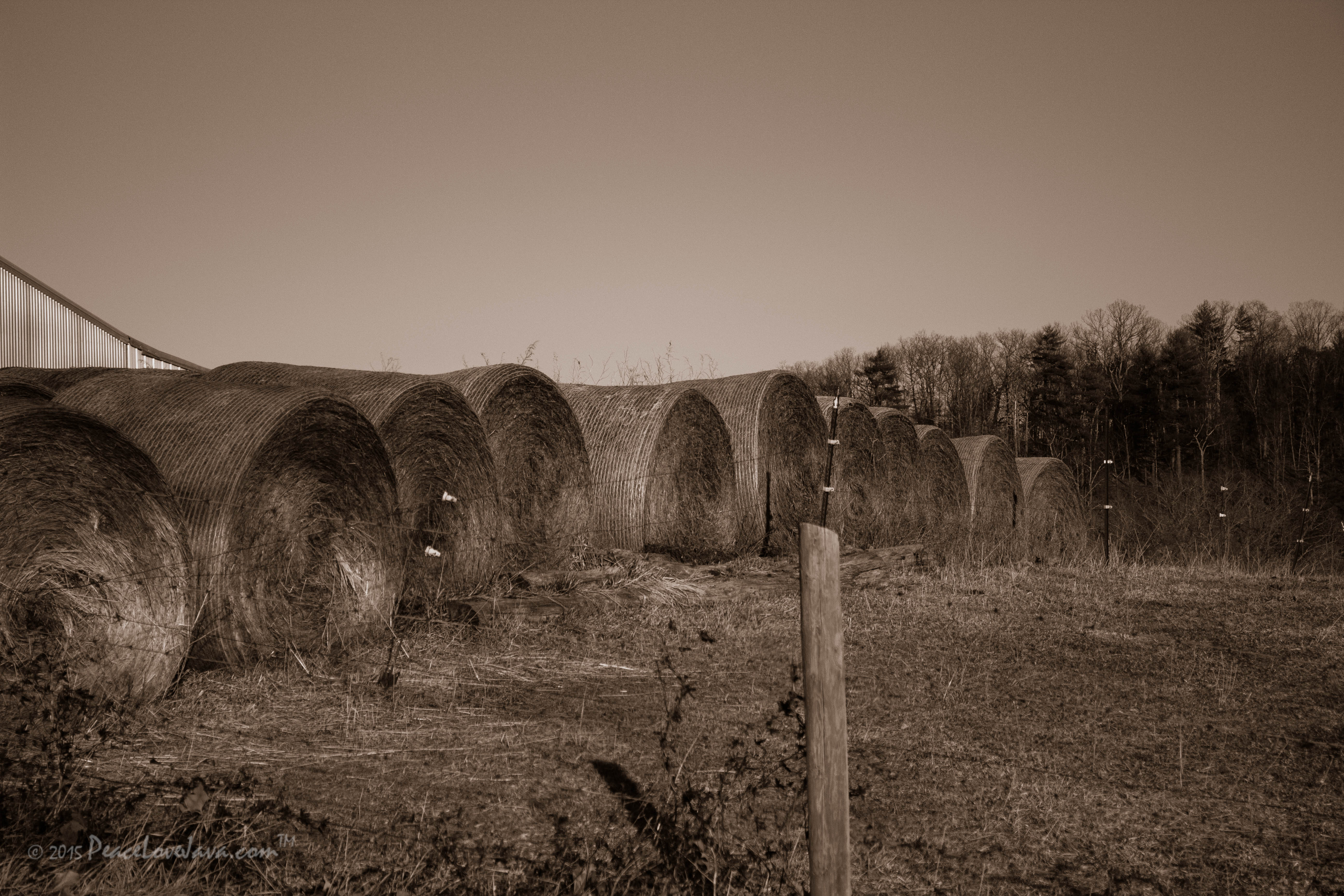
Virginia Farm Land
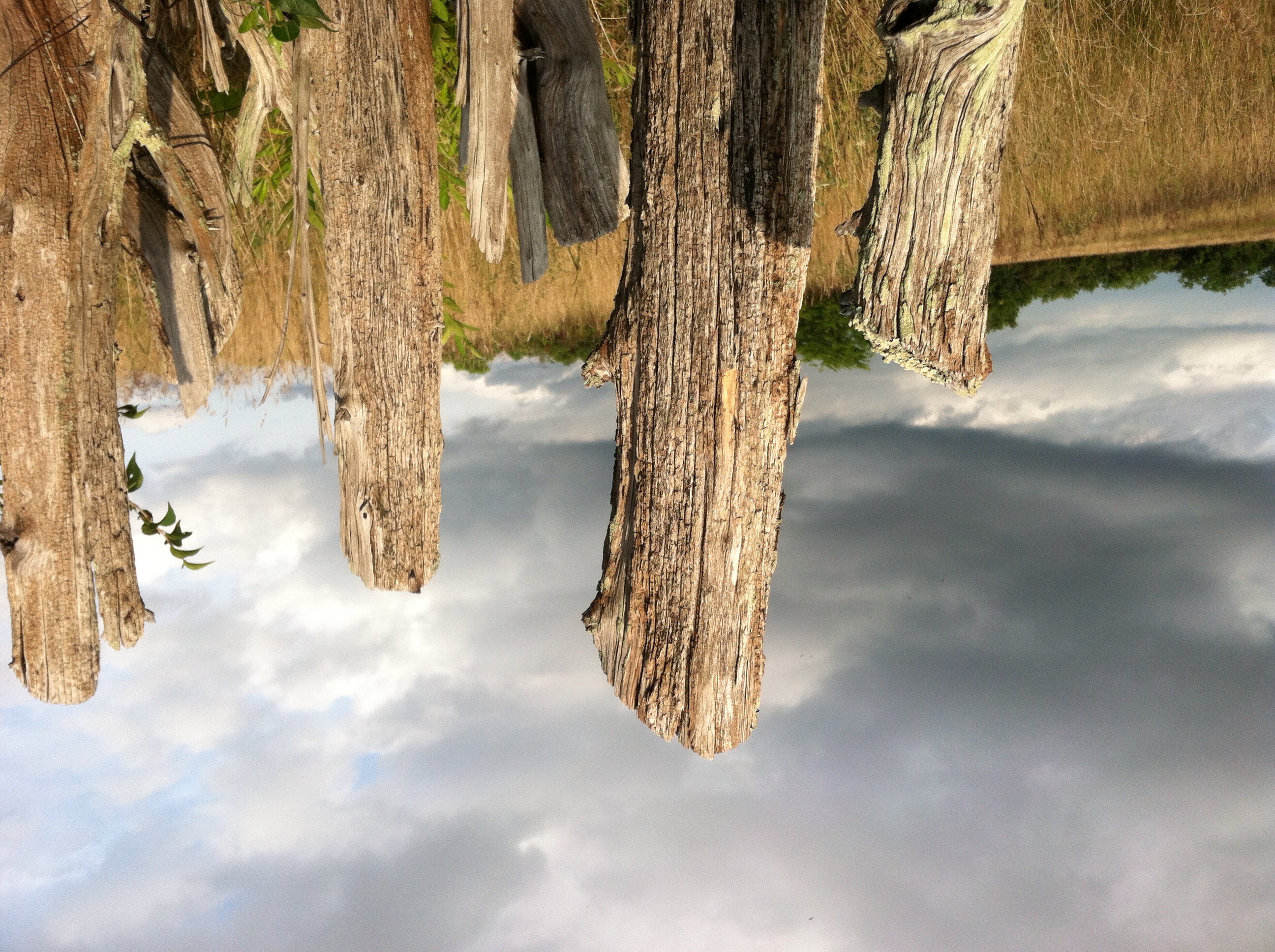
Civil war trail
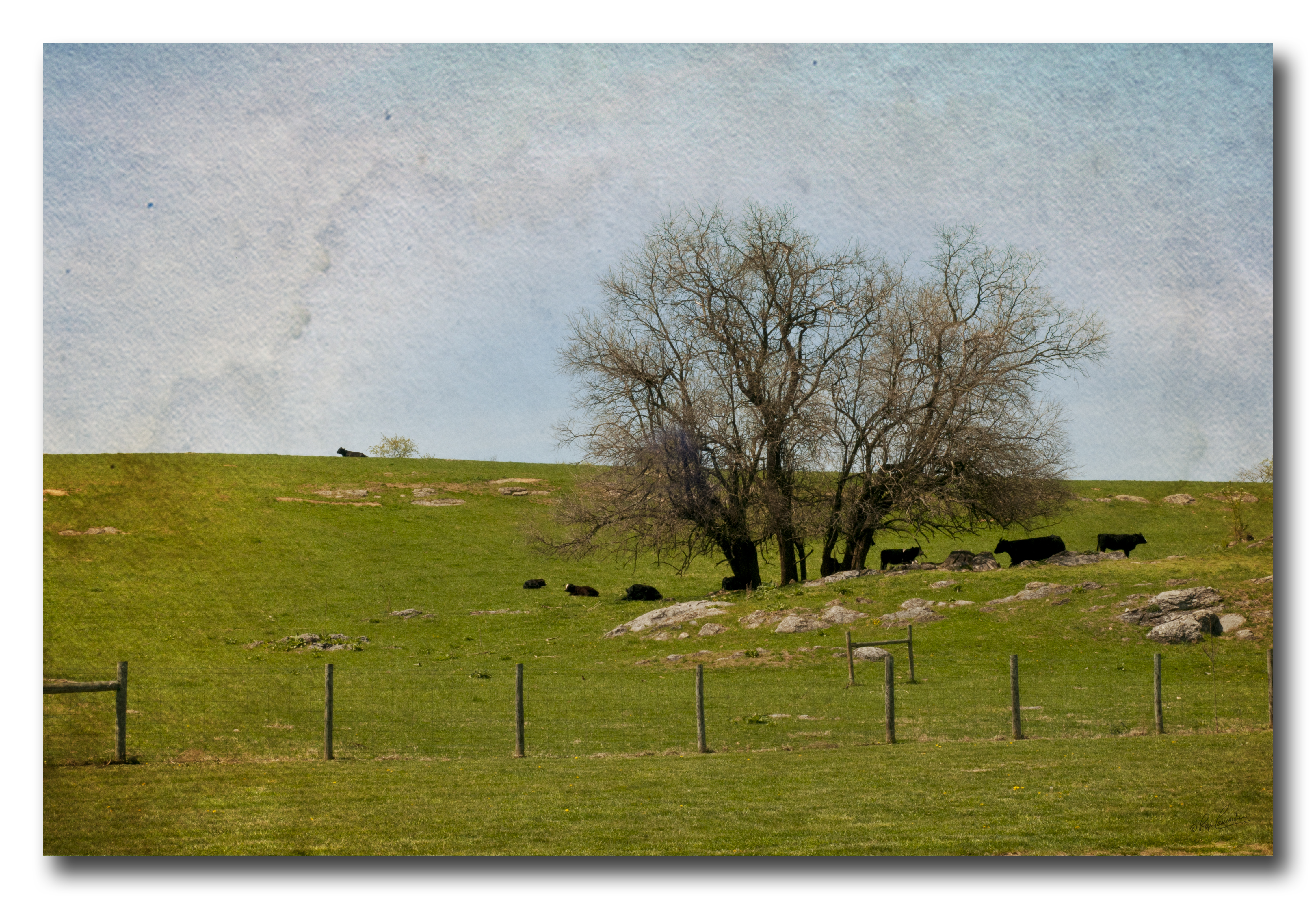
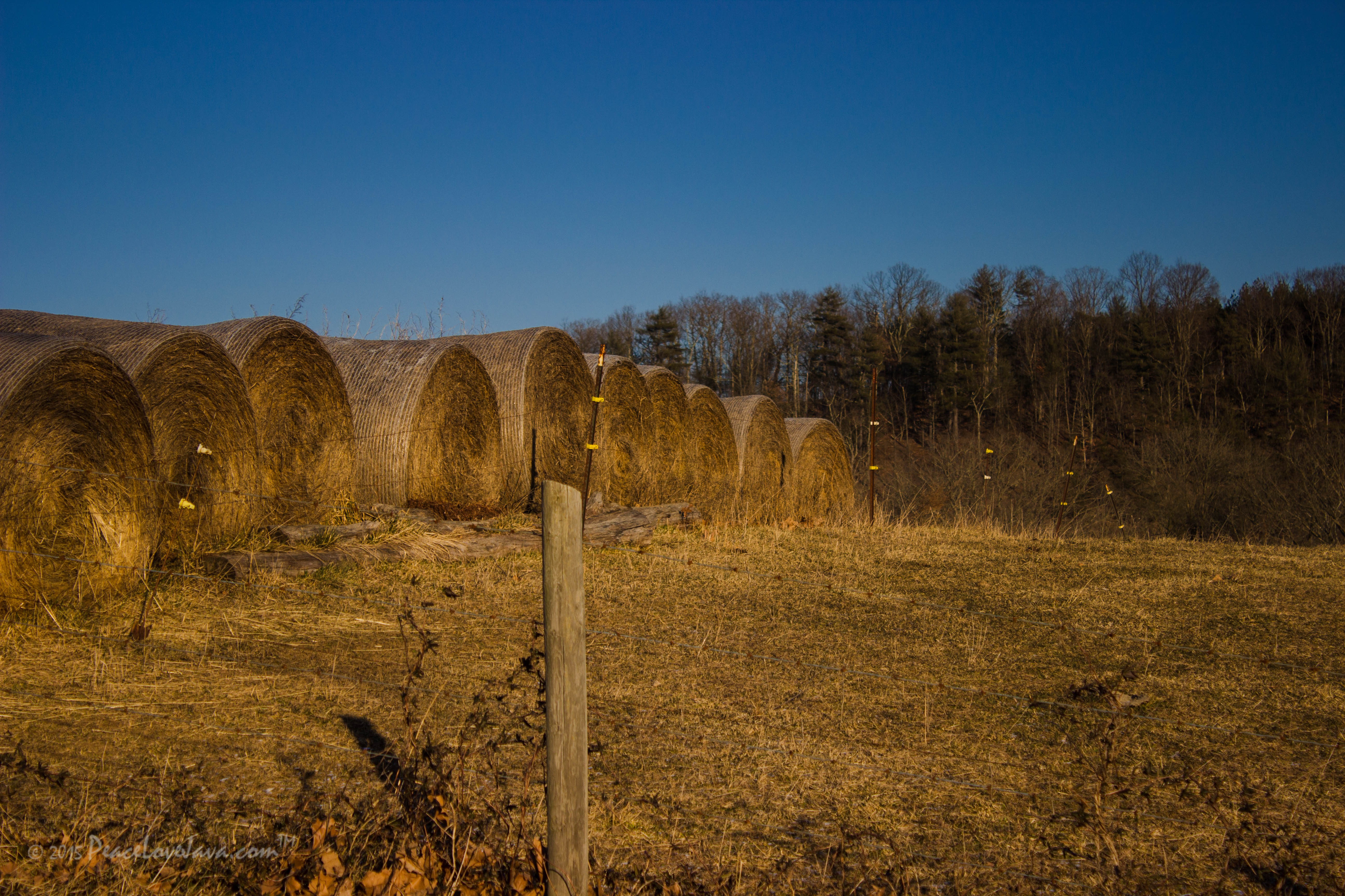
Pastoral scene with texture
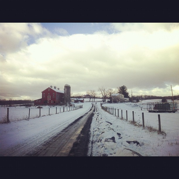
Snow is pretty in #Virginia
Day 34: 12/28/08

Civil war trail
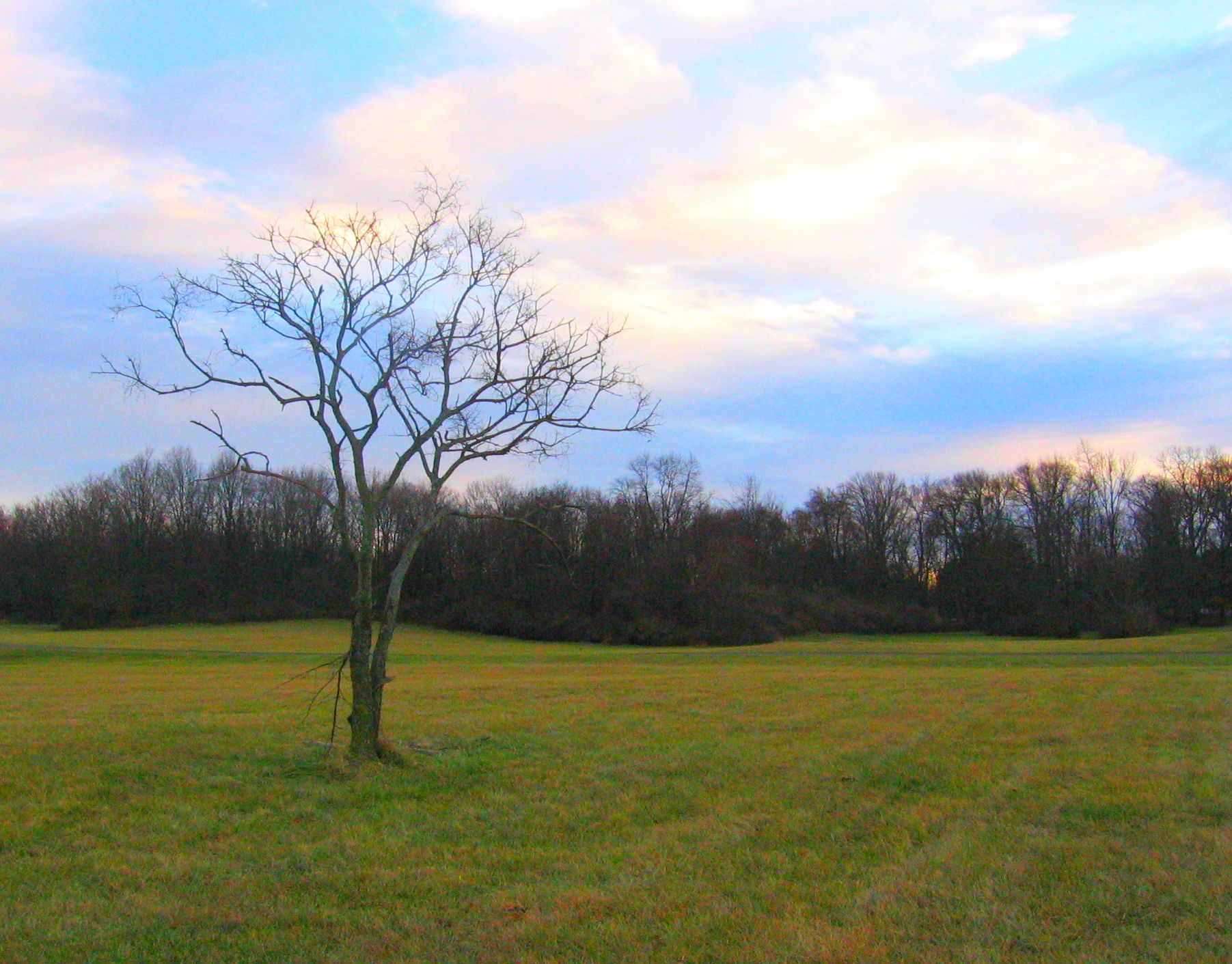
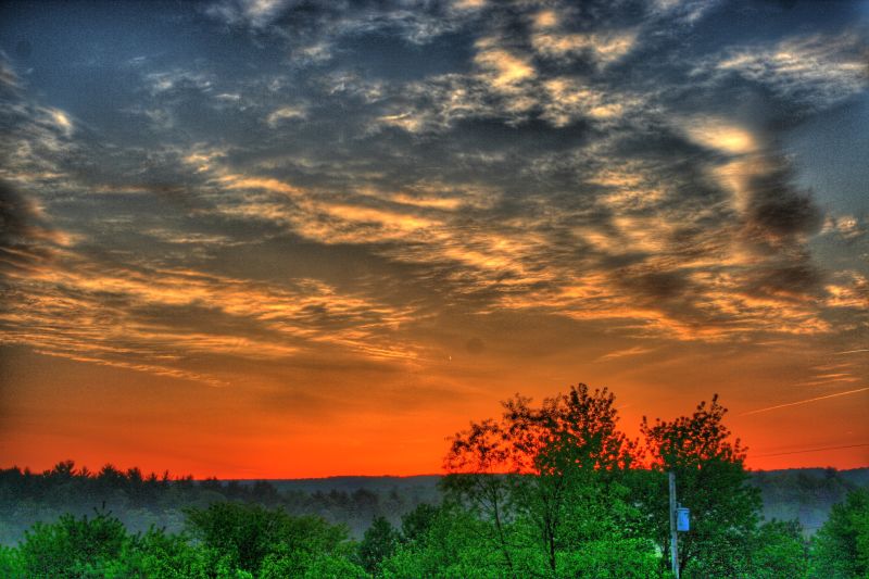
A gorgeous sky
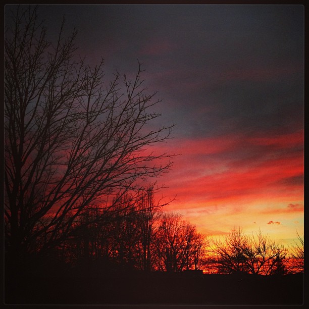
Sunrise over NSSA
2010-10-04
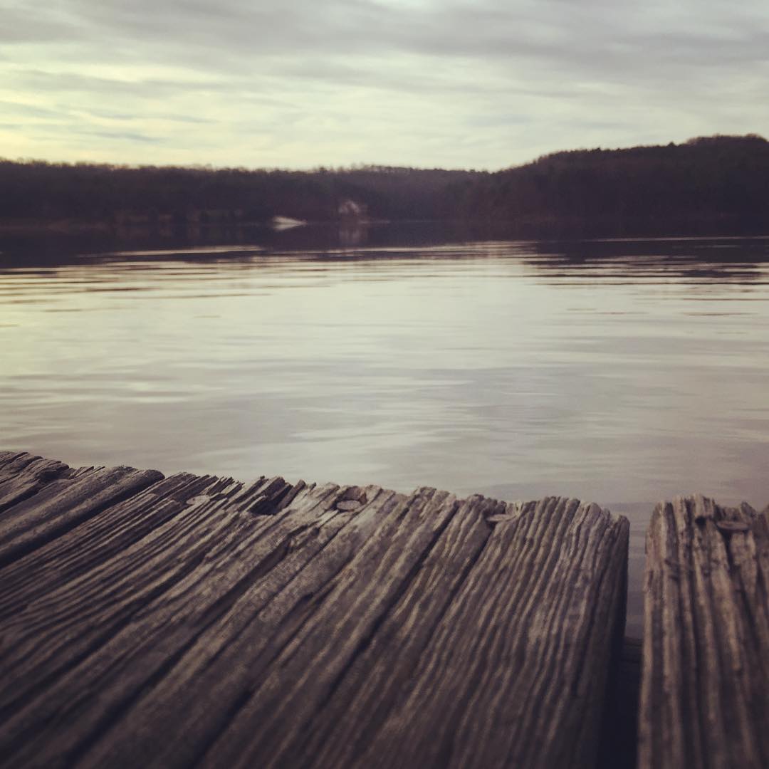
Dock #crossjunction #virginia

Good morning, Virginia
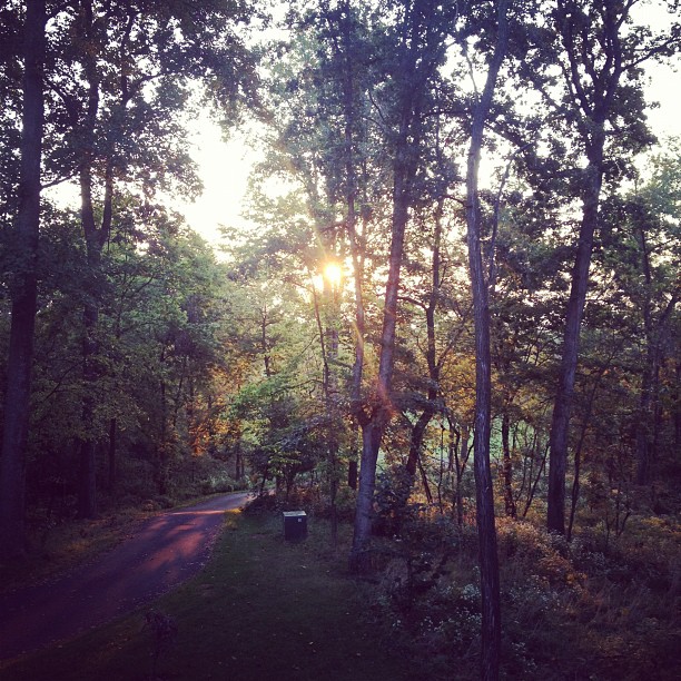
Sunrise at Andy's

Civil war trail
Civil war trail

Sunrise 3
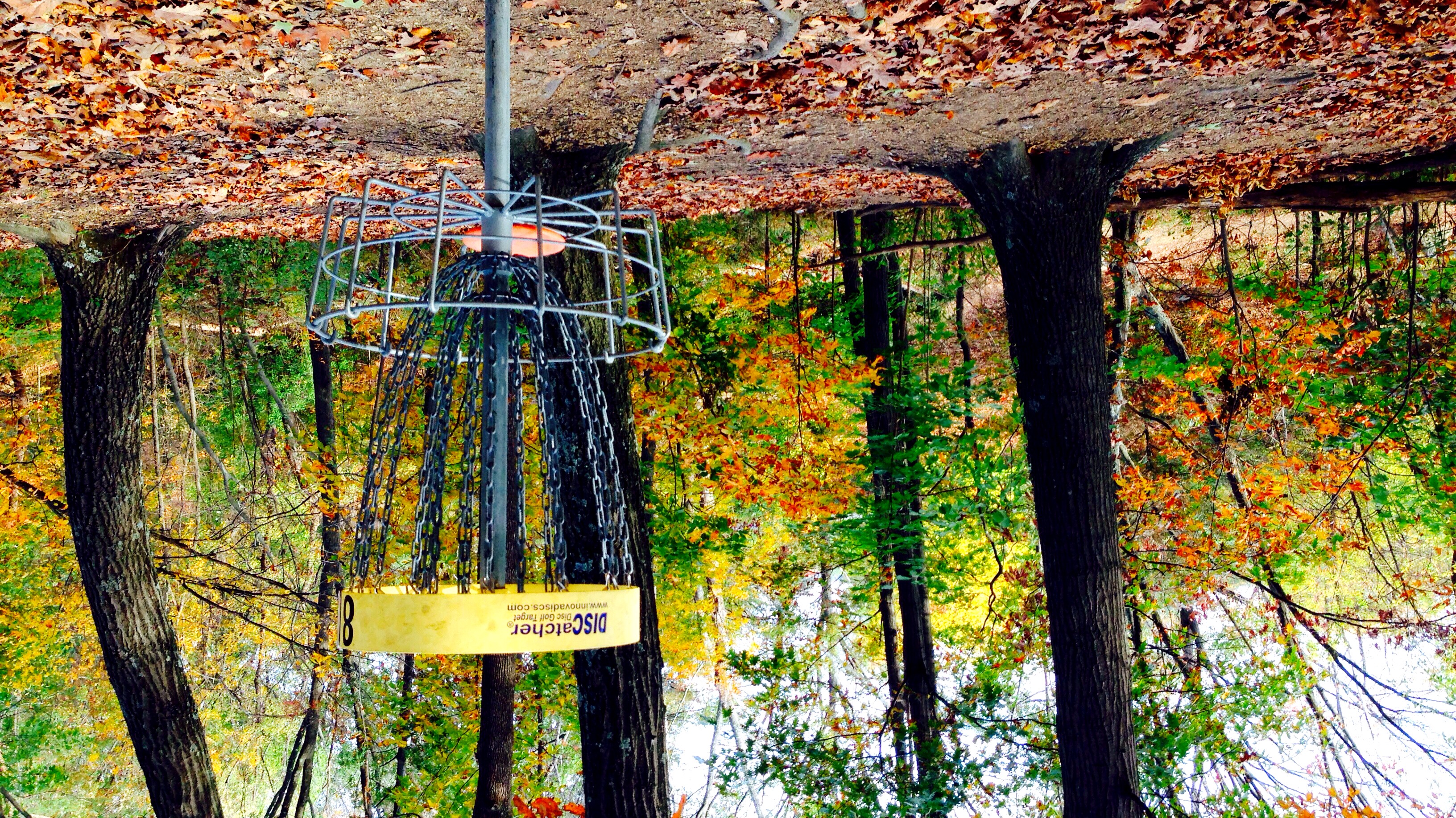
Fall Leaves At Jim Barnett DGC
Civil war trail
Topographic Map of Frederick County, VA, USA
Find elevation by address:

Places in Frederick County, VA, USA:
Places near Frederick County, VA, USA:
Deer Run Drive
Back Mountain Rd, Winchester, VA, USA
981 Valley View Dr
981 Valley View Dr
981 Valley View Dr
120 Deer Creek Rd
120 Deer Creek Rd
506 Shickle Ln
N Frederick Pike, Winchester, VA, USA
Gainesboro Rd, Winchester, VA, USA
1629 Pondview Dr
Whitacre Street
Winchester, VA, USA
654 Fox Dr
937 Bobcat Trail
Tomahawk Trail
334 Sand Mine Rd
Gore Rd, Gore, VA, USA
Gore
Bear Trail
Recent Searches:
- Elevation of Corso Fratelli Cairoli, 35, Macerata MC, Italy
- Elevation of Tallevast Rd, Sarasota, FL, USA
- Elevation of 4th St E, Sonoma, CA, USA
- Elevation of Black Hollow Rd, Pennsdale, PA, USA
- Elevation of Oakland Ave, Williamsport, PA, USA
- Elevation of Pedrógão Grande, Portugal
- Elevation of Klee Dr, Martinsburg, WV, USA
- Elevation of Via Roma, Pieranica CR, Italy
- Elevation of Tavkvetili Mountain, Georgia
- Elevation of Hartfords Bluff Cir, Mt Pleasant, SC, USA