Elevation of Shawnee, VA, USA
Location: United States > Virginia > Frederick County >
Longitude: -78.145041
Latitude: 39.1180684
Elevation: 215m / 705feet
Barometric Pressure: 99KPa
Elevation Map:
Satellite Map:
Related Photos:
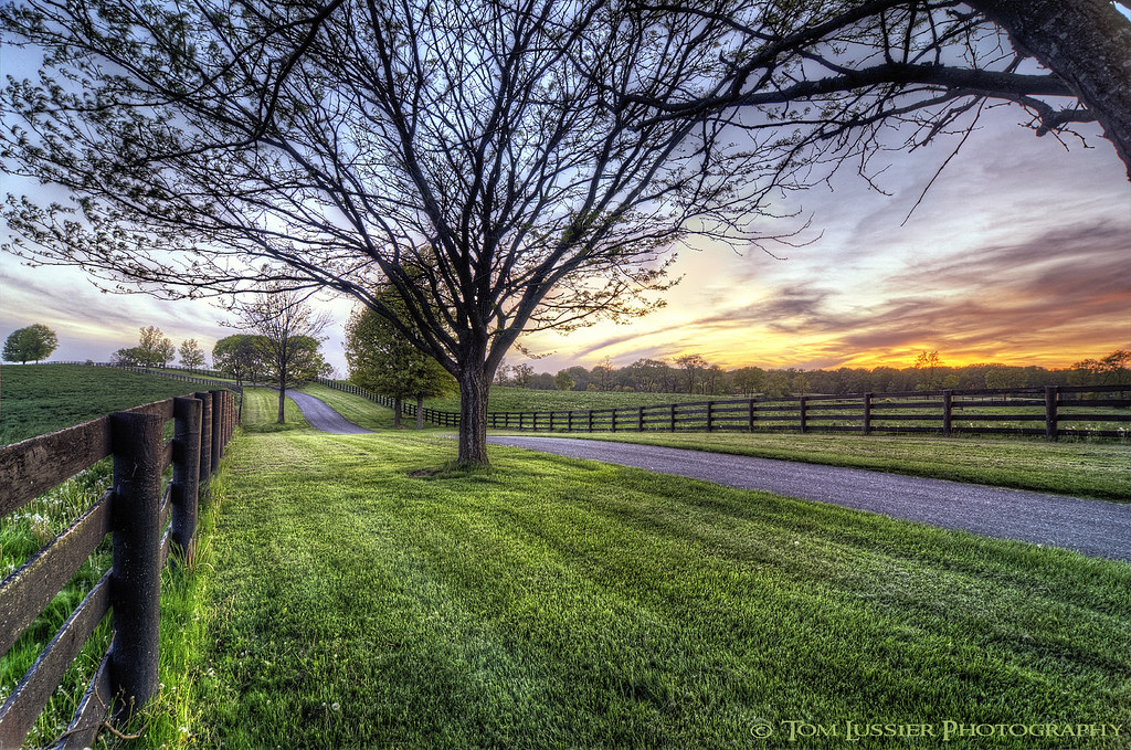
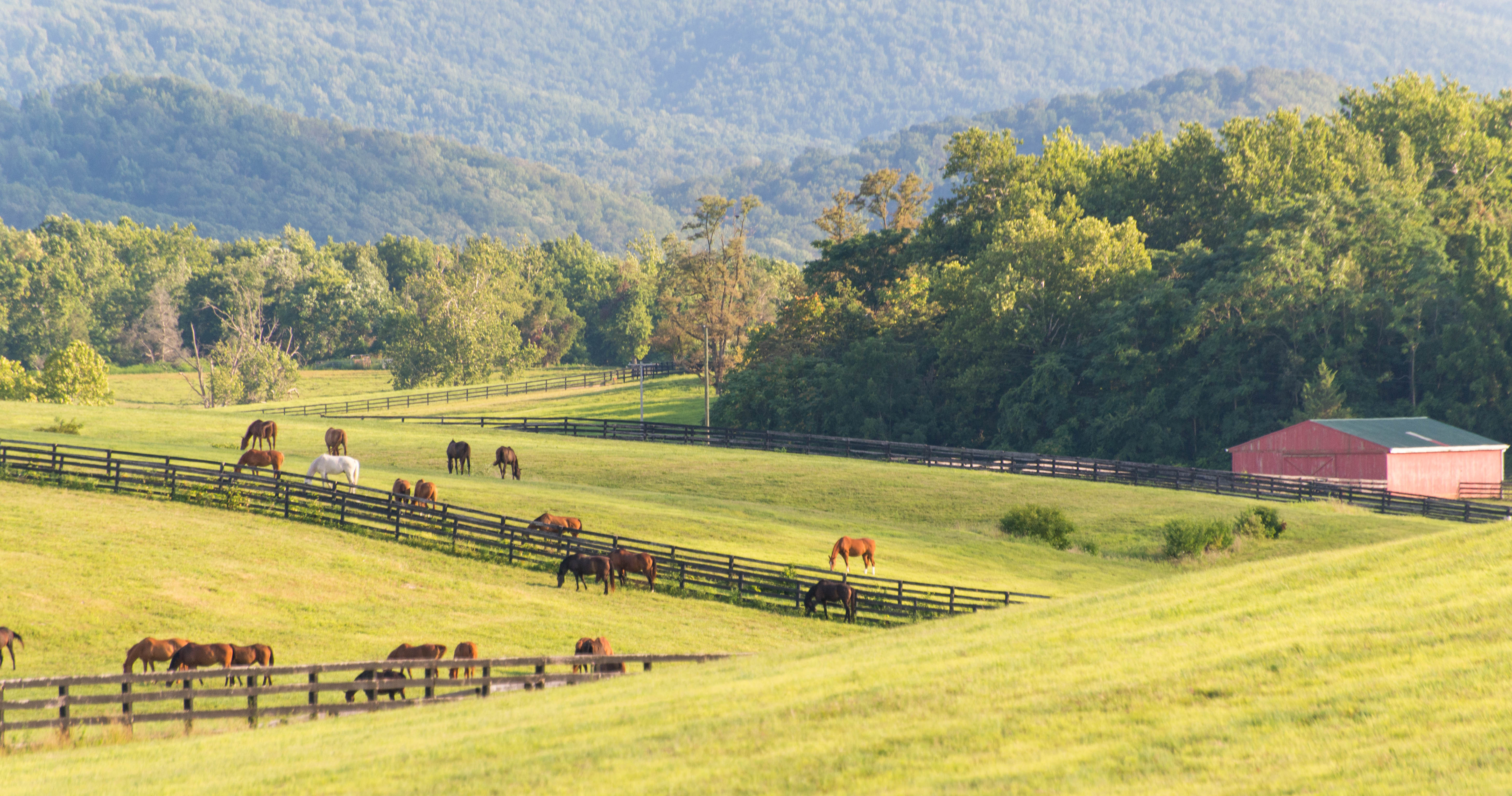
Hunt Country Lane

Just Drifting By

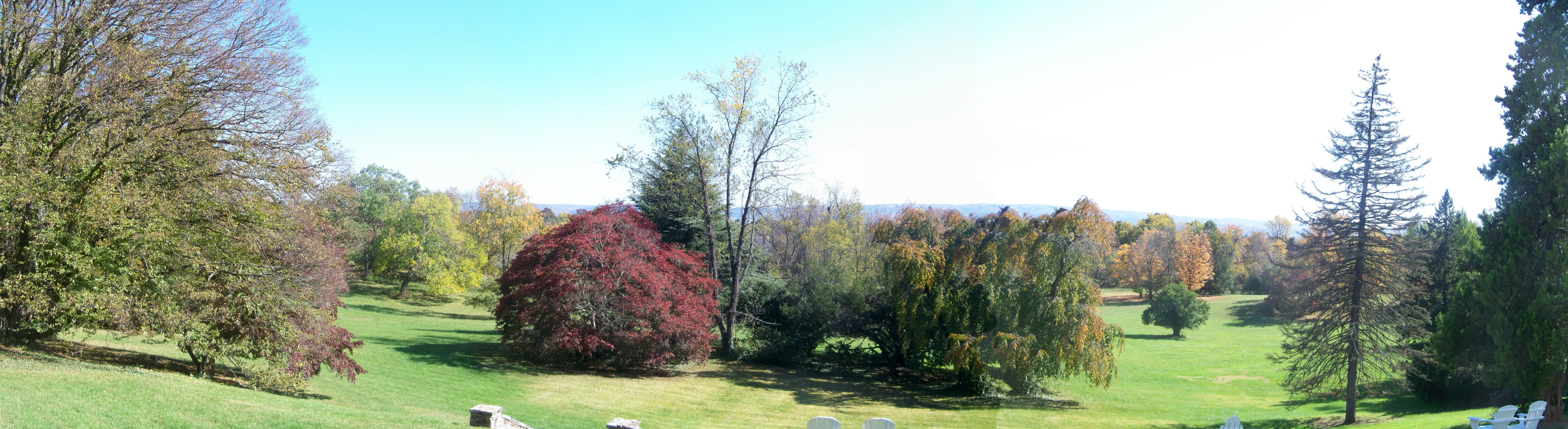
A view of the Ginkgo Grove at the Virginia State Arboretum

View of adjoining property from the Virginia State Arboretum
CHERRY PLUM.....
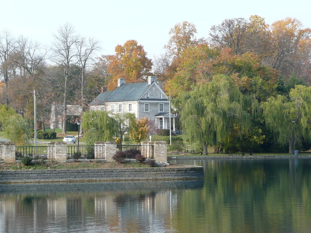
Across the Lake
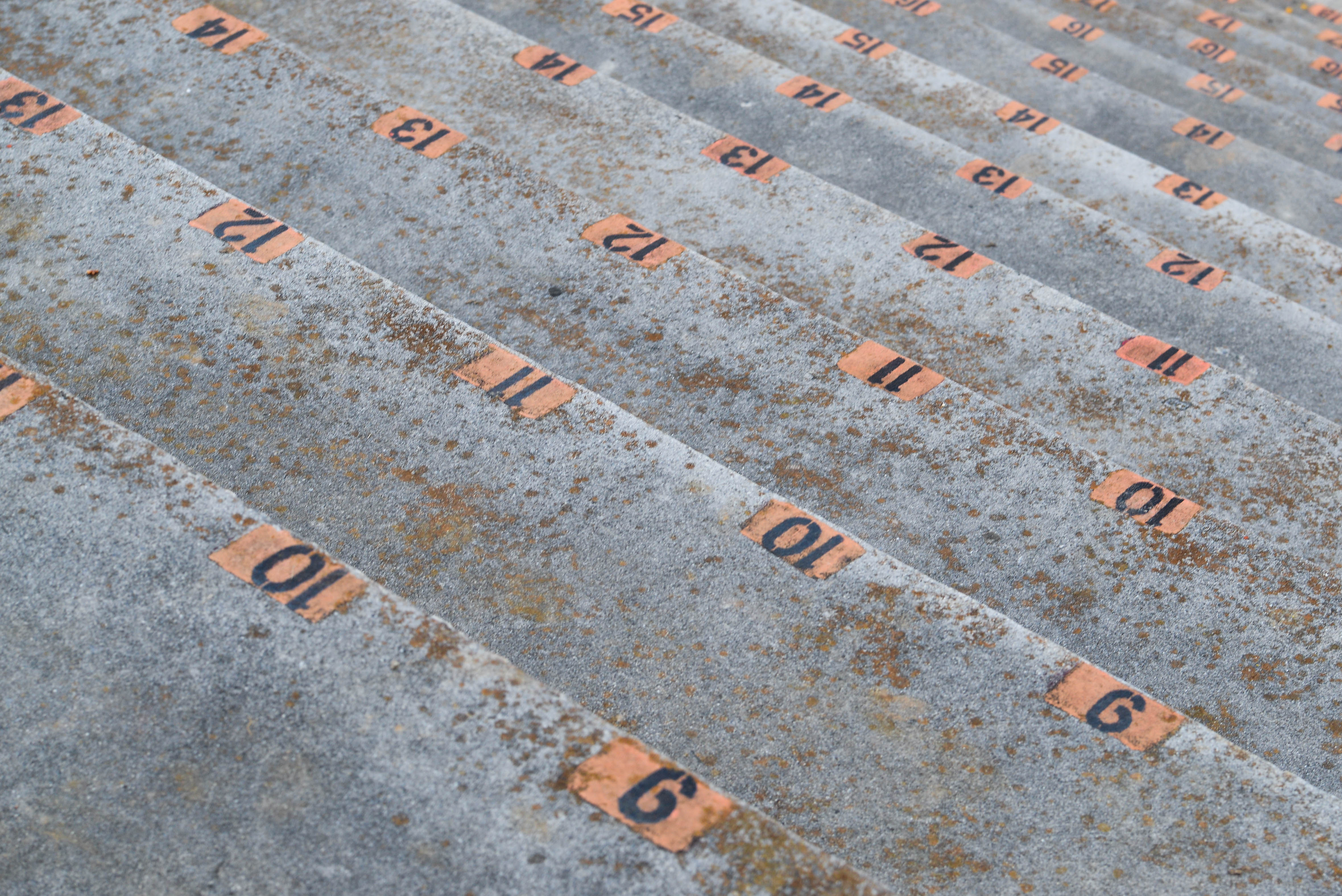
Clarke County, Virginia County Fair, bleacher
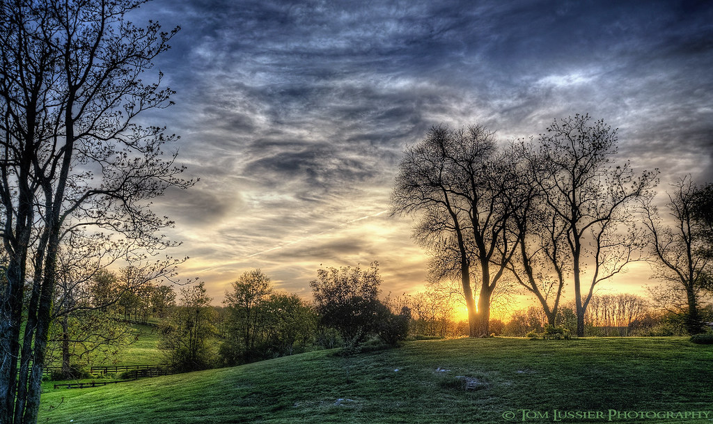
Sunset at Blandy Farms II
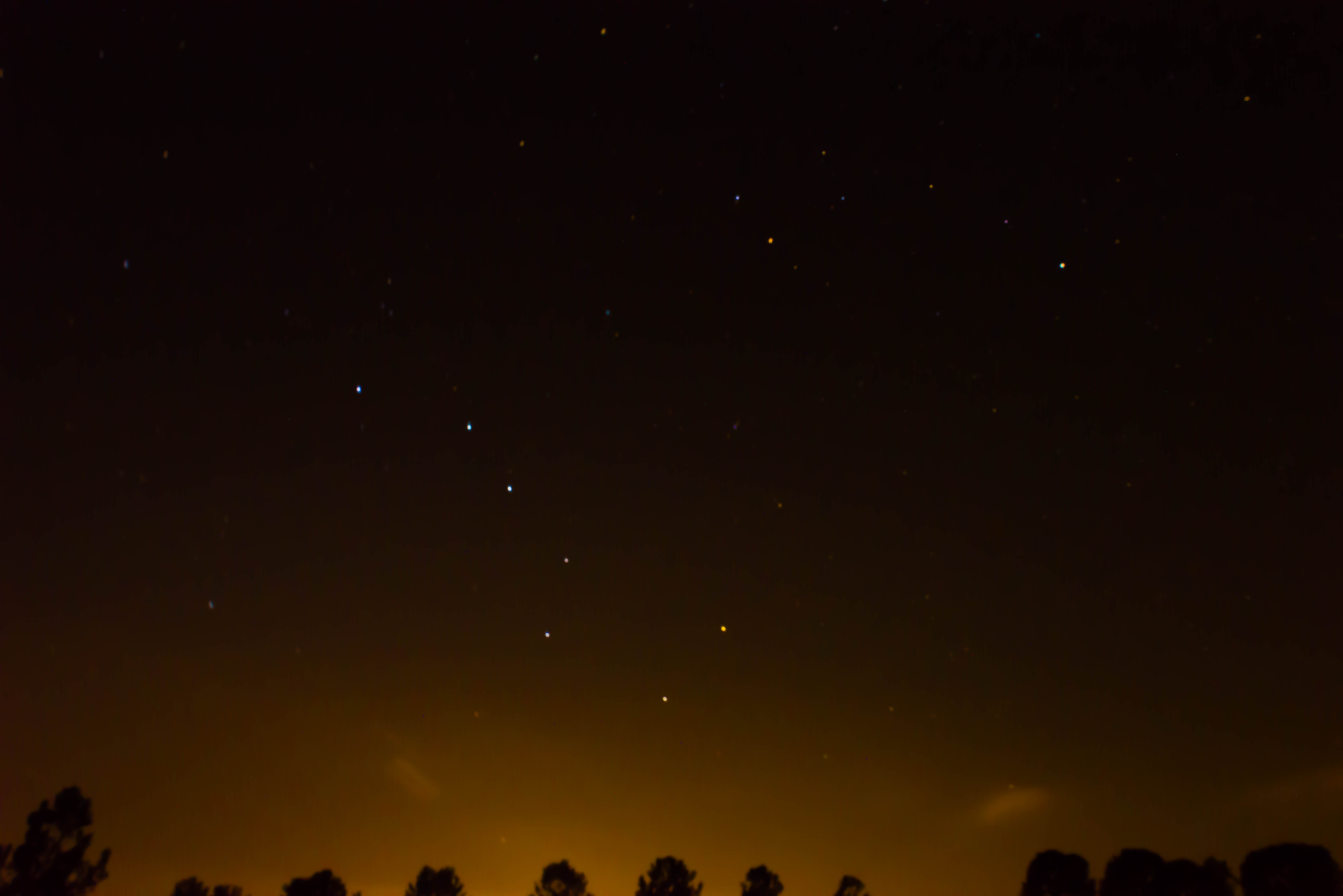
Follow the North Star! (The Big and Little Dipper)

Fisheye view of Winchester, Virginia

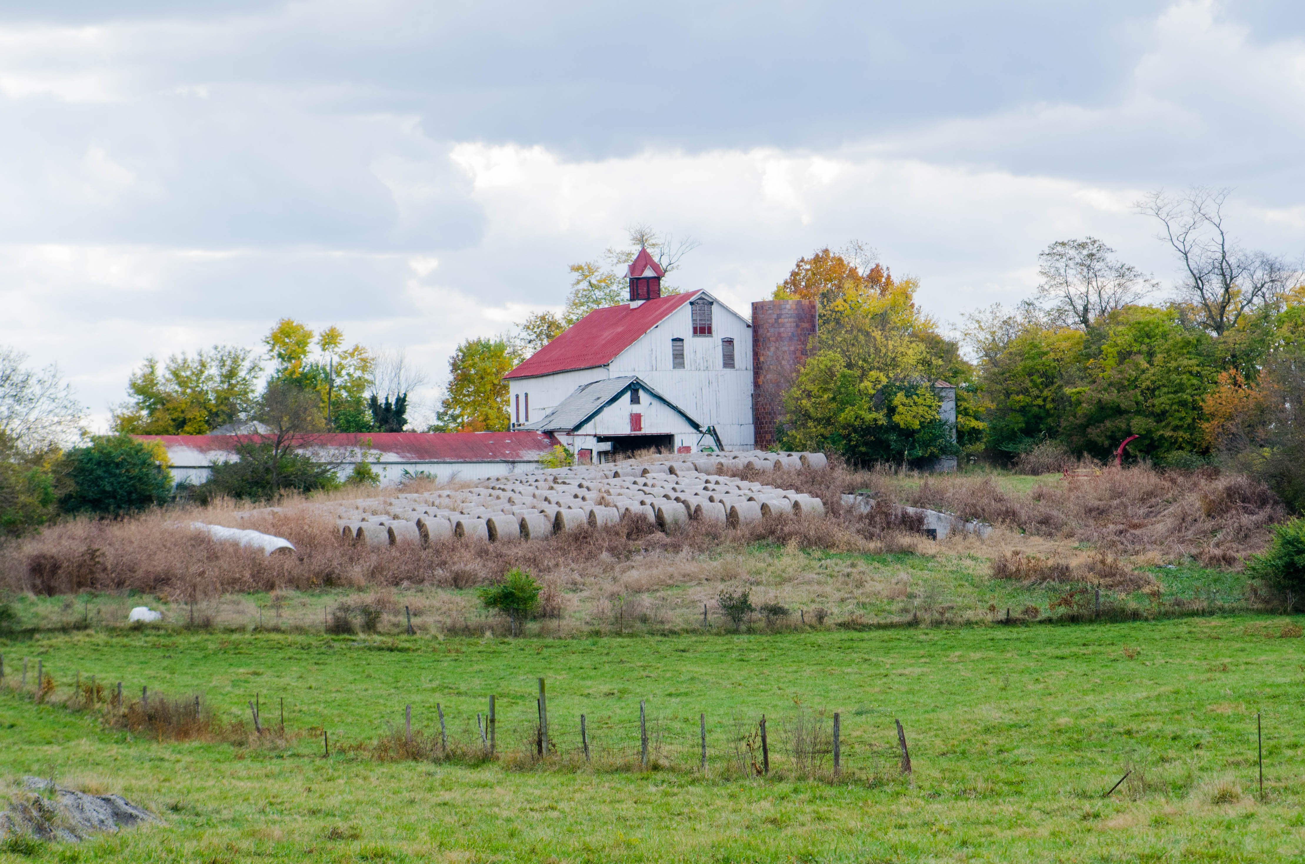
Barns of the Shenandoah
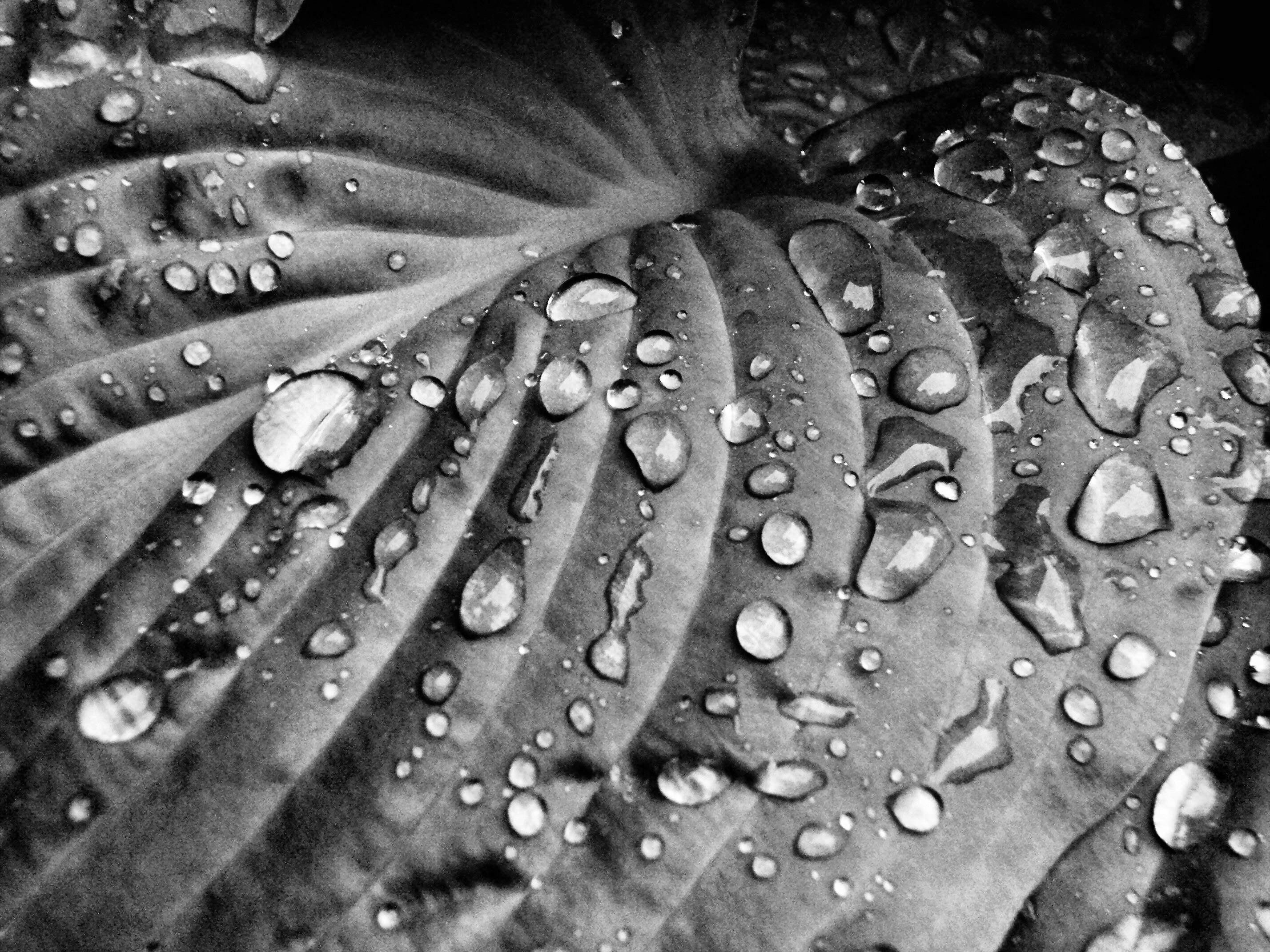
Rain Drops on Hosta II

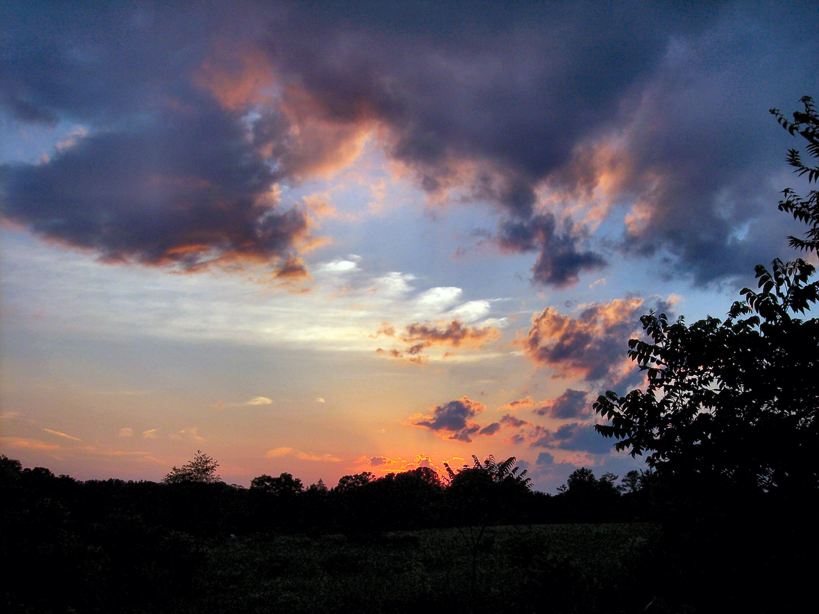
Sunset at Blandy Farms
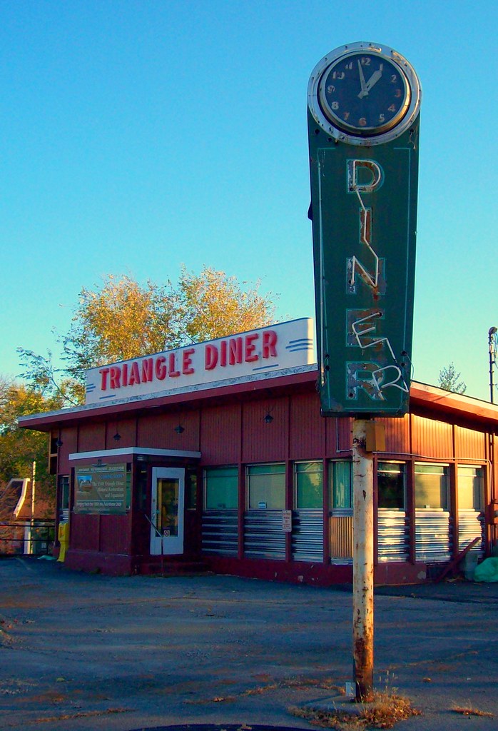
Triangle Diner

1,000,000
My favorite view in town. #handley #highschool #shadow #evening #latergram #winchester #virginia
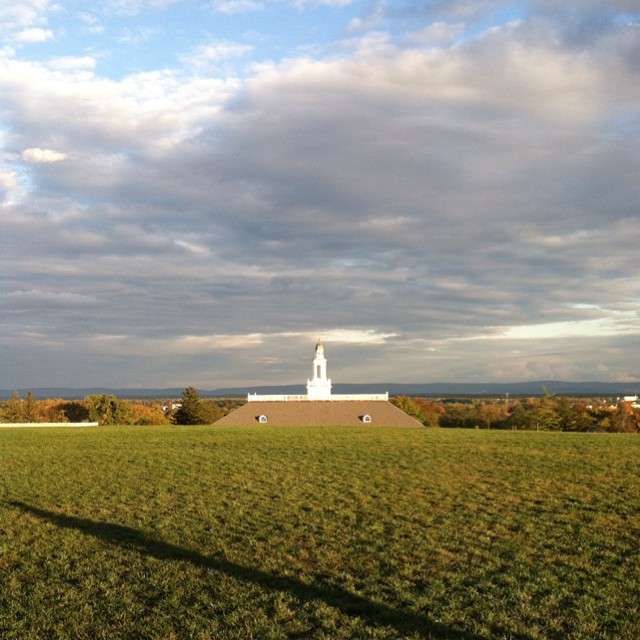
Southside View Of Old Clarke County Courthouse
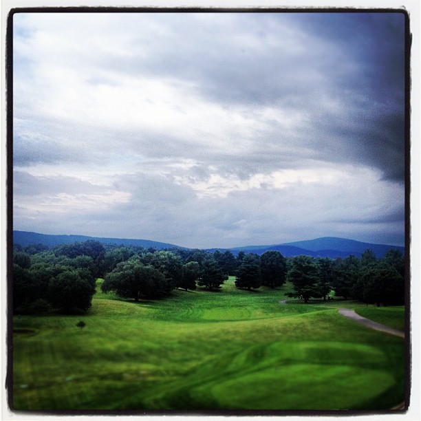
Manor's Scenic View

Clouds at Great Falls
The View from Room 301

Ginkgo Grove at Blandy Experimental Farm
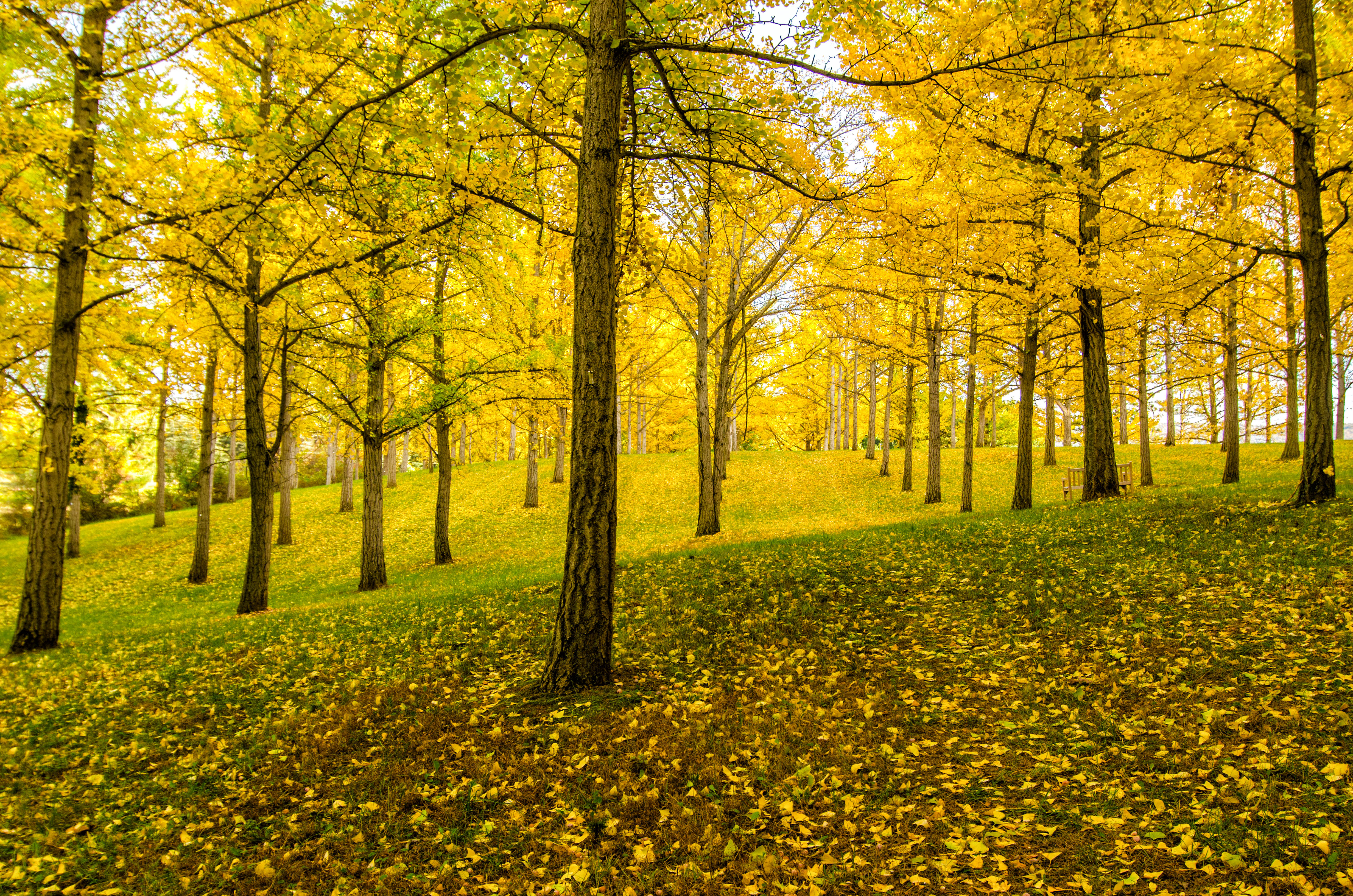
Ginkgo Grove
Curtain Call
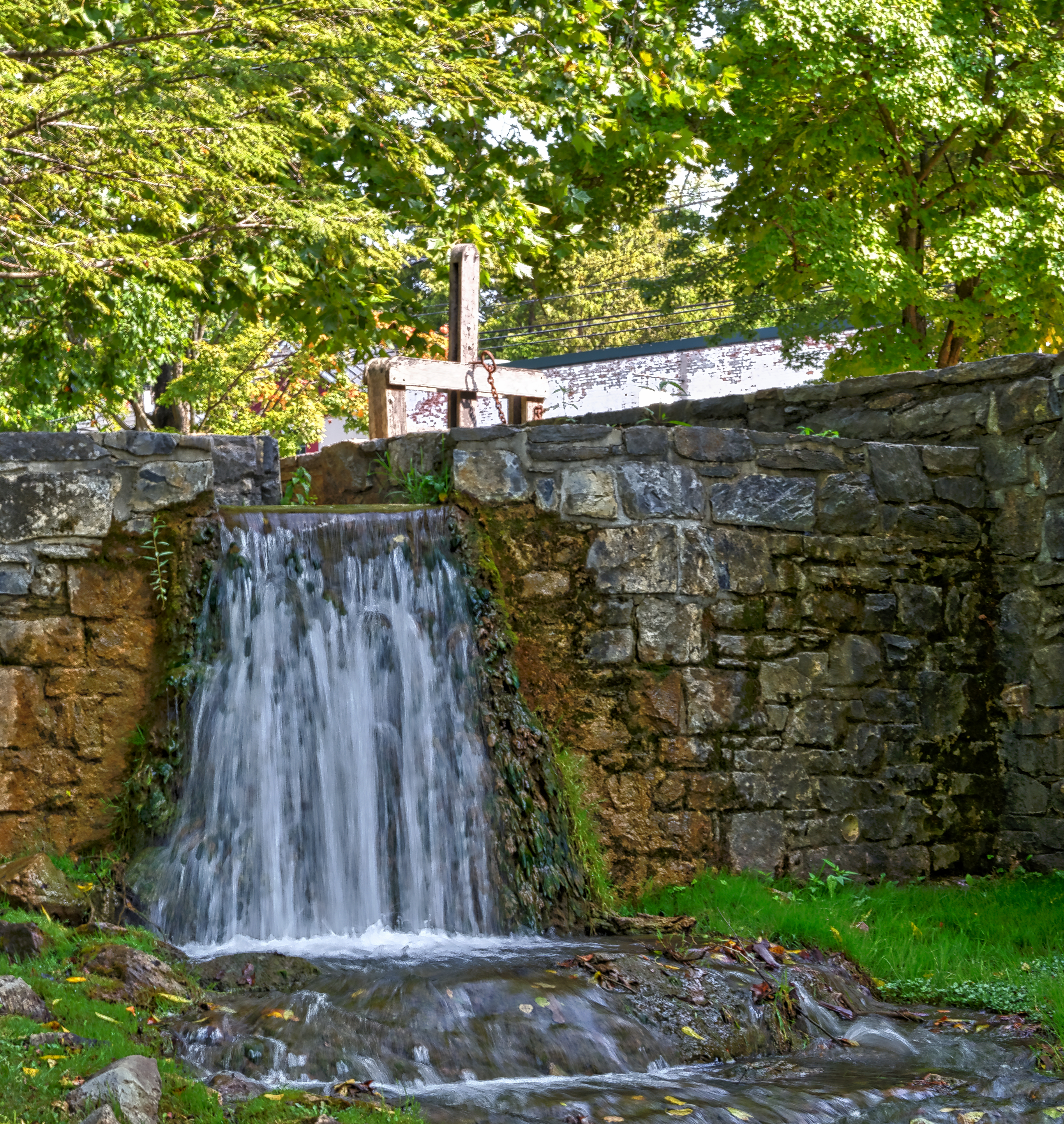
Mill Race

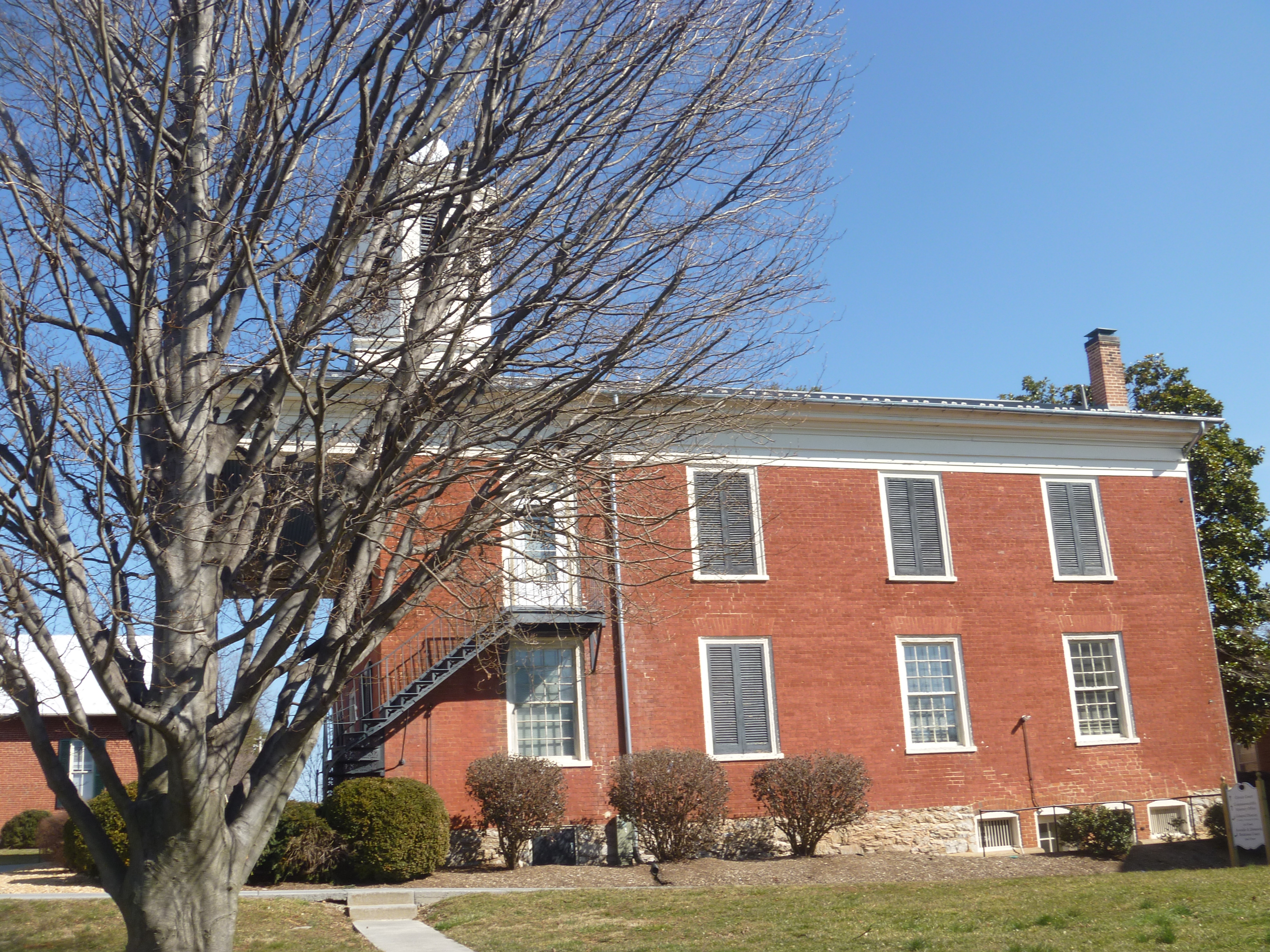
Long Branch Plantation, VA

Foxtail grass, Virginia State Arboretum

Long Branch Farm Lane

Nancy Crosby Larrick Trail at the Virginia State Arboretum

Haaaaay!
Gig with @InFullBand
Long Branch, VA.jpg

Shenandoah Valley from I-81
Farmhouse at the Virginia State Arboretum
Cherry picking
Snow along the banks of Red Bud Run

Virginia State Arboretum/Blandy Experimental Farm

hay/hey
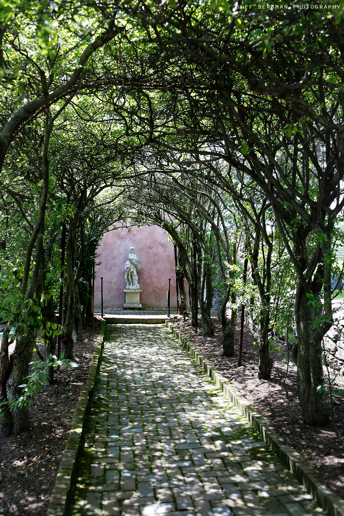
Glen Burnie Gardens - Pleached Alee
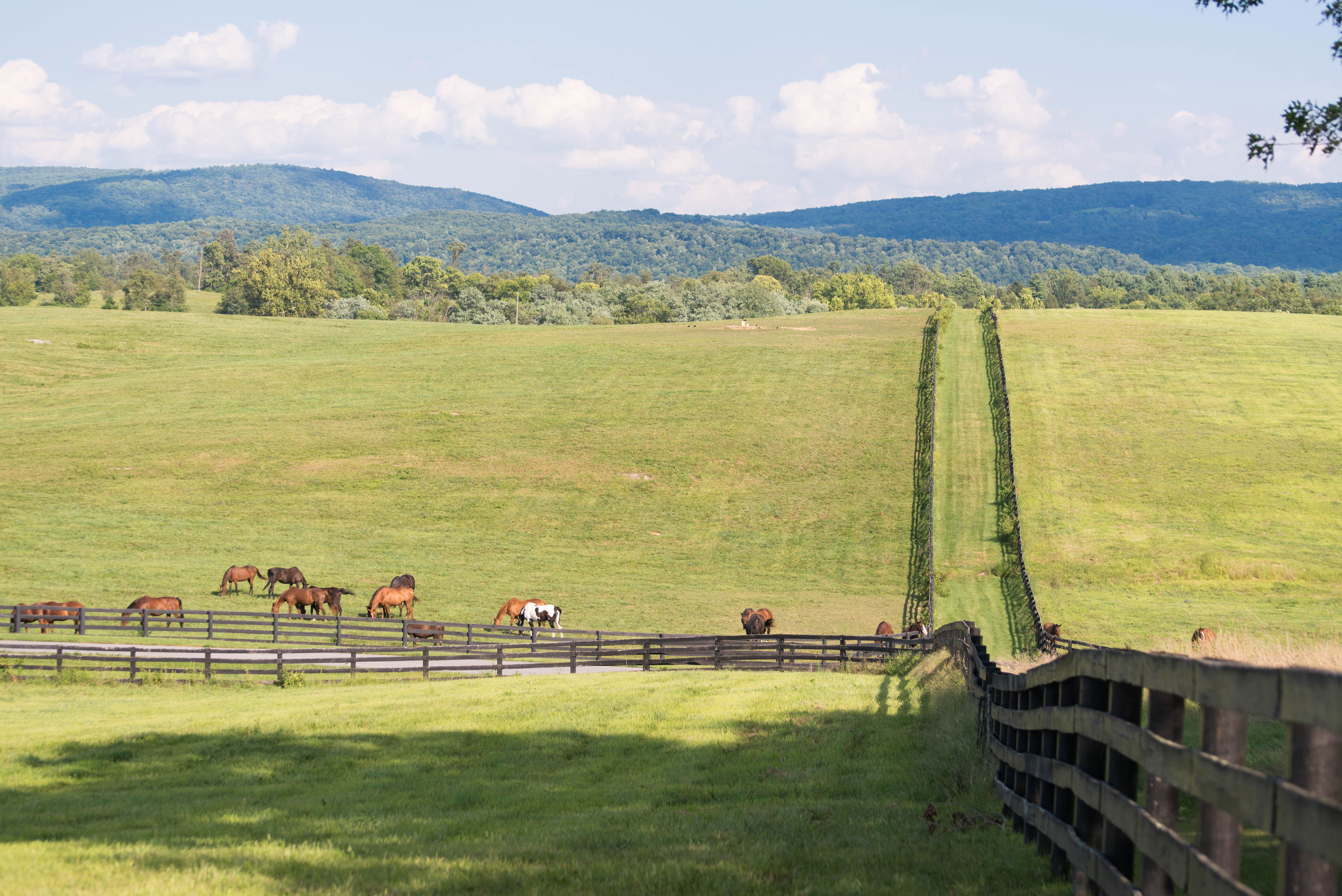
Long Branch, Virginia
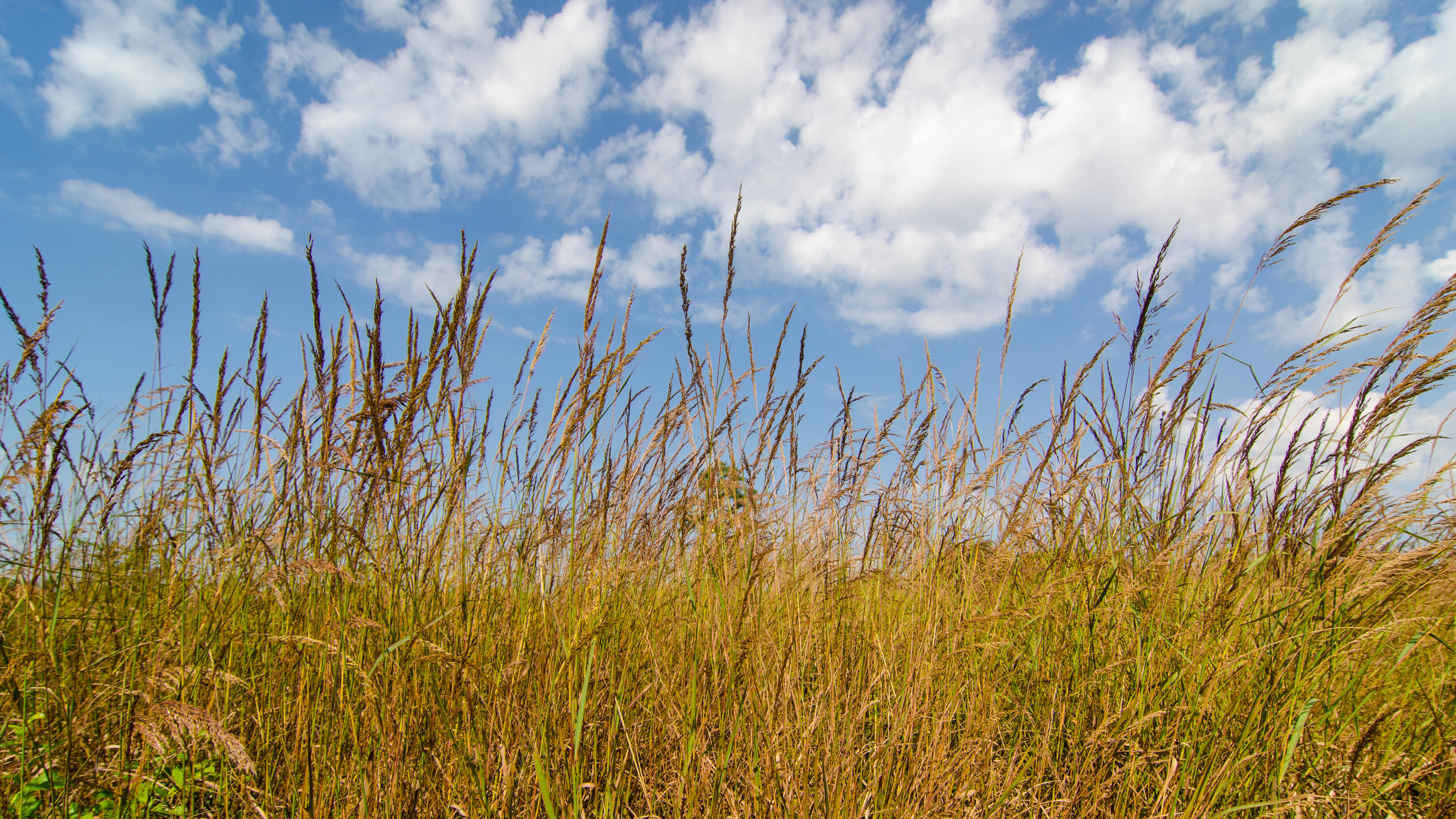
Late season Indian Grass, native to Virginia, is found in the open meadows of the Virginia State Arboretum
Topographic Map of Shawnee, VA, USA
Find elevation by address:

Places in Shawnee, VA, USA:
Places near Shawnee, VA, USA:
Front Royal Pike
Front Royal Pike, Winchester, VA, USA
1941 Macedonia Church Rd
Winchester Regional Airport (okv)
108 Collington Ct
107 Reams Station Ct
210 Costello Dr
876 Carpers Valley Rd
Papermill Road
431 E Parkins Mill Rd
Princeton Dr, Winchester, VA, USA
105 Doolin Ave
219 Darby Dr
1465 Fairfax Pike
77 Gun Barrel Rd, Boyce, VA, USA
114 Creekside Ln
203 Cranberry Ct
201 Cranberry Ct
Battery Mart
Prosperity Drive
Recent Searches:
- Elevation of Corso Fratelli Cairoli, 35, Macerata MC, Italy
- Elevation of Tallevast Rd, Sarasota, FL, USA
- Elevation of 4th St E, Sonoma, CA, USA
- Elevation of Black Hollow Rd, Pennsdale, PA, USA
- Elevation of Oakland Ave, Williamsport, PA, USA
- Elevation of Pedrógão Grande, Portugal
- Elevation of Klee Dr, Martinsburg, WV, USA
- Elevation of Via Roma, Pieranica CR, Italy
- Elevation of Tavkvetili Mountain, Georgia
- Elevation of Hartfords Bluff Cir, Mt Pleasant, SC, USA