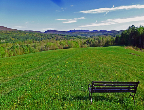
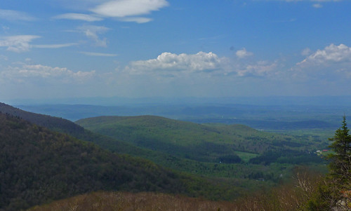
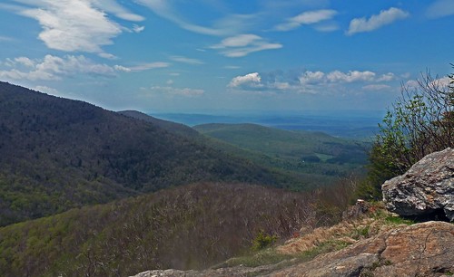
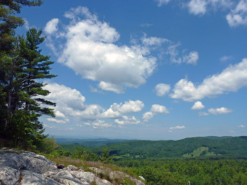
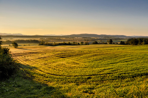
Elevation of Brandon, VT, USA
Location: United States > Vermont > Rutland County > Brandon >
Longitude: -73.0876119
Latitude: 43.7981195
Elevation: 130m / 427feet
Barometric Pressure: 0KPa
Related Photos:
Topographic Map of Brandon, VT, USA
Find elevation by address:

Places in Brandon, VT, USA:
1182 Wheeler Rd
19 Sunset Dr
Brandon House Of Pizza
49 Center St
19 Sunset Dr
Forest Dale Road
6 Park St, Brandon, VT, USA
Places near Brandon, VT, USA:
Brandon
6 Park St, Brandon, VT, USA
Brandon House Of Pizza
49 Center St
Forest Dale Road
125 Steinberg Rd
19 Sunset Dr
19 Sunset Dr
1182 Wheeler Rd
2550 Birch Hill Rd
362 Leicester-whiting Rd
U.s. 7
563 Westside Dr
Salisbury
Goshen
W Shore Rd, Salisbury, VT, USA
Middlebury College Snow Bowl
VT-, Hancock, VT, USA
1320 Vt-125
Brandon Mountain Rd, Rochester, VT, USA
Recent Searches:
- Elevation map of Greenland, Greenland
- Elevation of Sullivan Hill, New York, New York, 10002, USA
- Elevation of Morehead Road, Withrow Downs, Charlotte, Mecklenburg County, North Carolina, 28262, USA
- Elevation of 2800, Morehead Road, Withrow Downs, Charlotte, Mecklenburg County, North Carolina, 28262, USA
- Elevation of Yangbi Yi Autonomous County, Yunnan, China
- Elevation of Pingpo, Yangbi Yi Autonomous County, Yunnan, China
- Elevation of Mount Malong, Pingpo, Yangbi Yi Autonomous County, Yunnan, China
- Elevation map of Yongping County, Yunnan, China
- Elevation of North 8th Street, Palatka, Putnam County, Florida, 32177, USA
- Elevation of 107, Big Apple Road, East Palatka, Putnam County, Florida, 32131, USA
- Elevation of Jiezi, Chongzhou City, Sichuan, China
- Elevation of Chongzhou City, Sichuan, China
- Elevation of Huaiyuan, Chongzhou City, Sichuan, China
- Elevation of Qingxia, Chengdu, Sichuan, China
- Elevation of Corso Fratelli Cairoli, 35, Macerata MC, Italy
- Elevation of Tallevast Rd, Sarasota, FL, USA
- Elevation of 4th St E, Sonoma, CA, USA
- Elevation of Black Hollow Rd, Pennsdale, PA, USA
- Elevation of Oakland Ave, Williamsport, PA, USA
- Elevation of Pedrógão Grande, Portugal
