Elevation of Birch Hill Rd, Brandon, VT, USA
Location: United States > Vermont > Rutland County > Brandon >
Longitude: -73.029129
Latitude: 43.772453
Elevation: 261m / 856feet
Barometric Pressure: 98KPa
Elevation Map:
Satellite Map:
Related Photos:

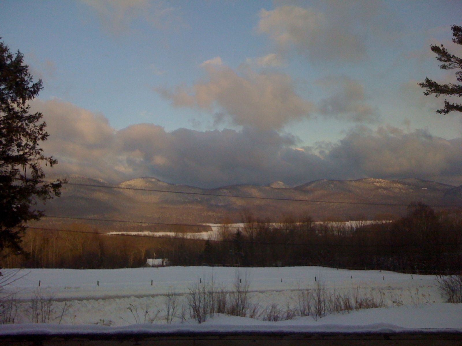
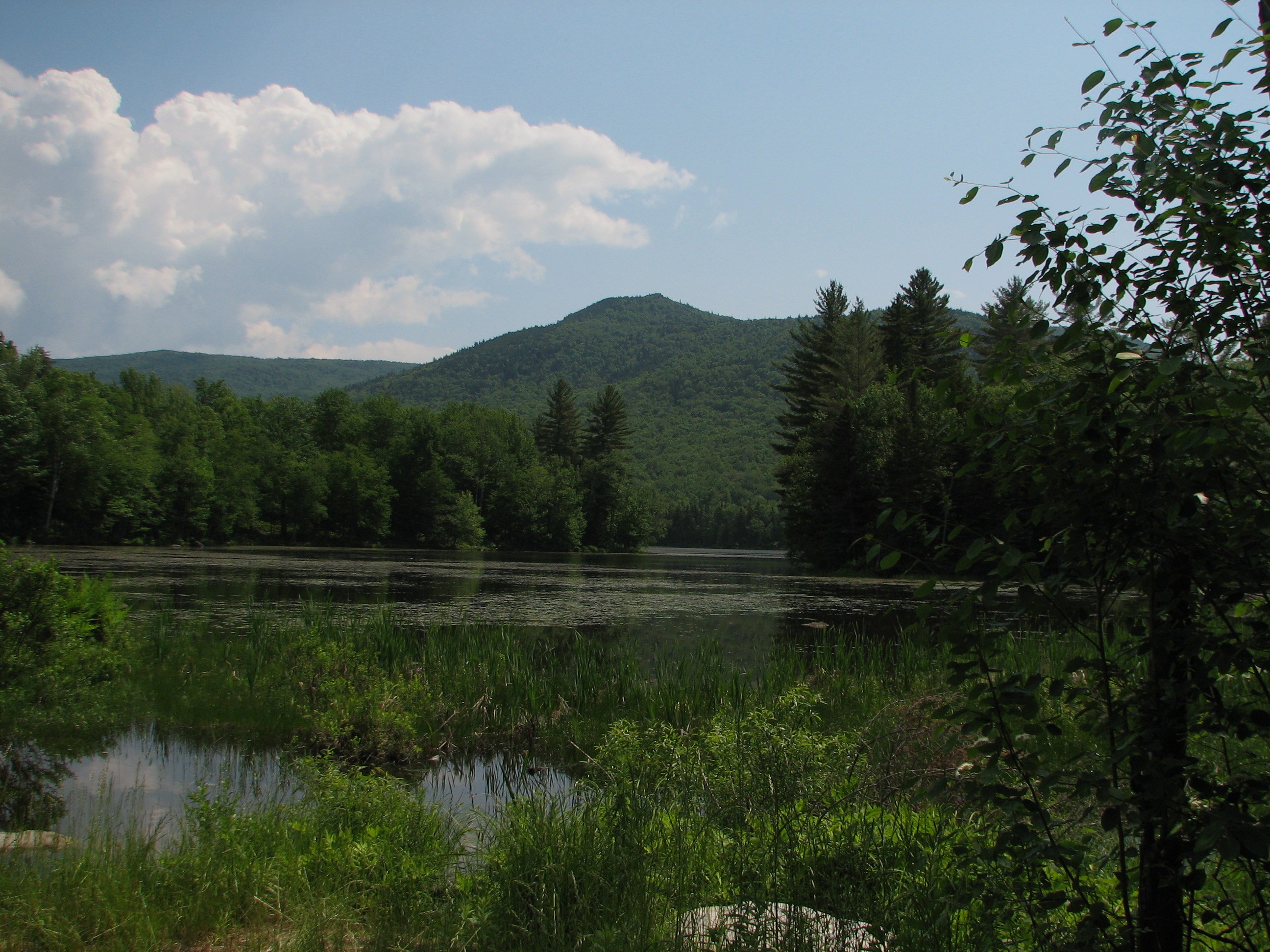
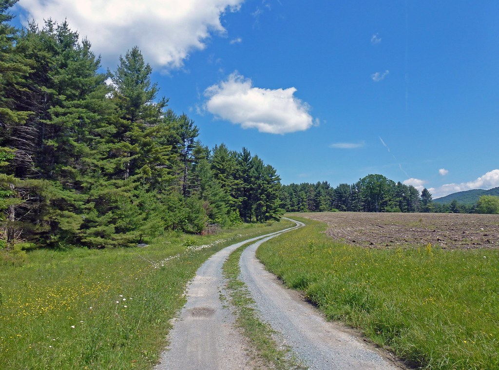
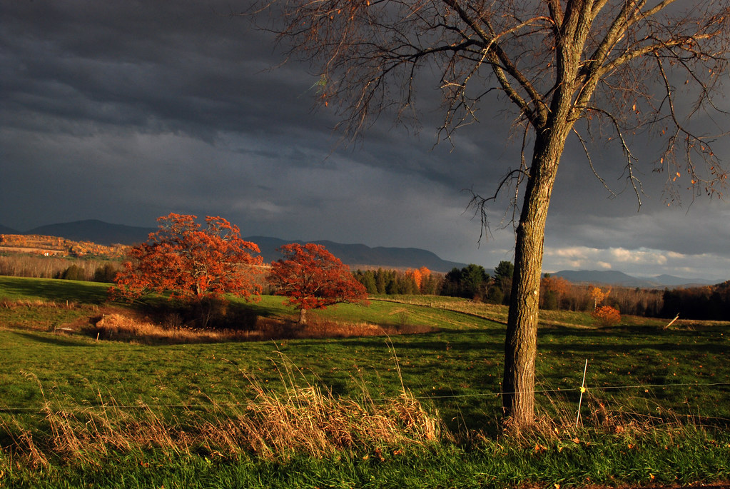
Big Mountain View to Brandon
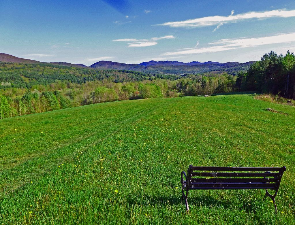
Bench View II

35.27
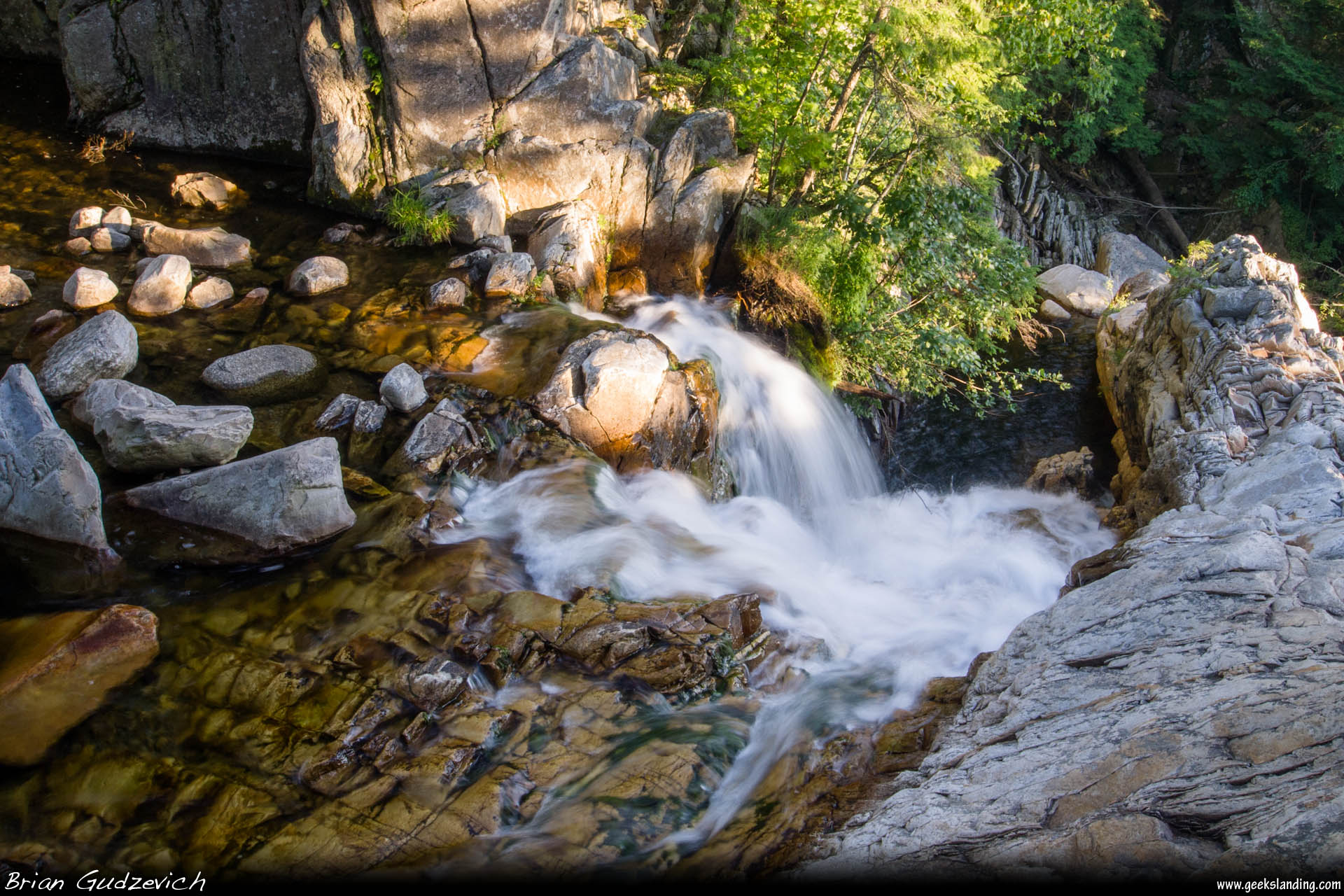
Down The Falls
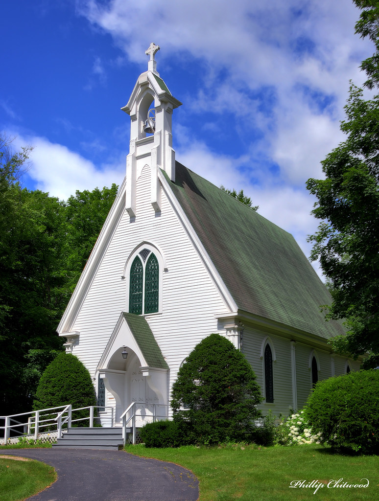
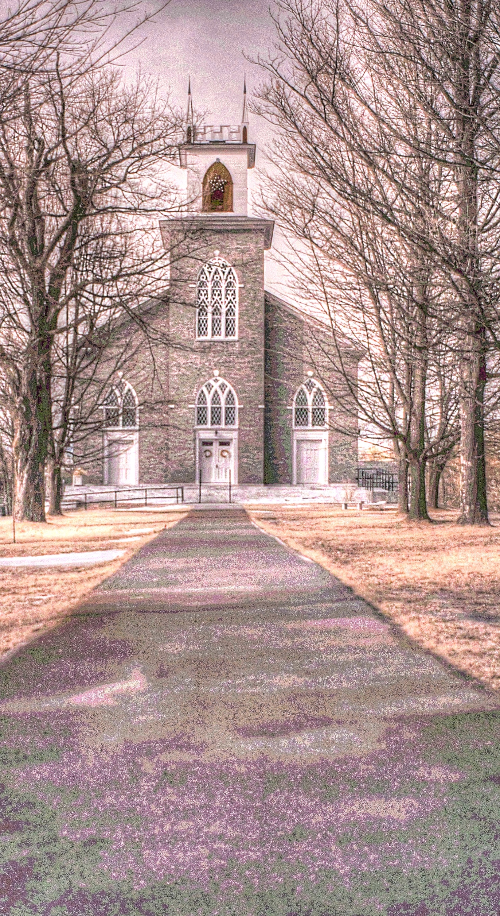
Grace Episcopal Church

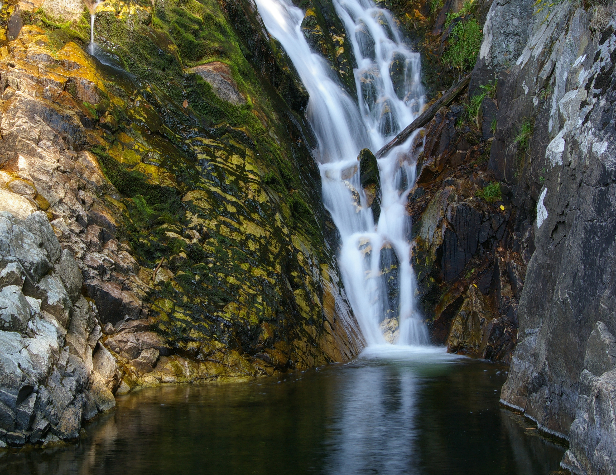
Falls of Lana - Vermont

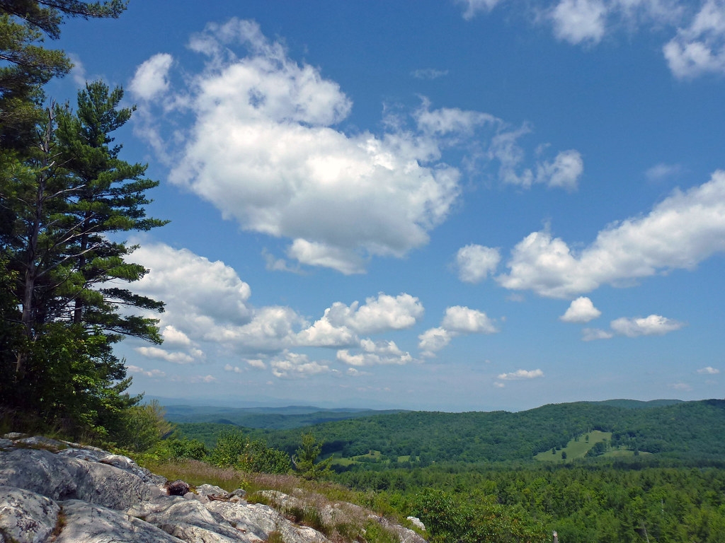
Brandon Gap
Big Sky

Overlooking Lake Dunmore
Mountain Top Inn view

Painting a Barn

Framed Falls

Great Cliffs
Pittsford Congregational Church [infrared]
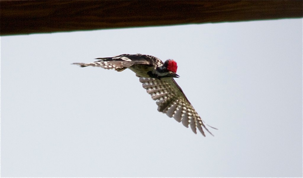
Yellow-bellied Sapsucker

Tree Through A Rock Over A Lake
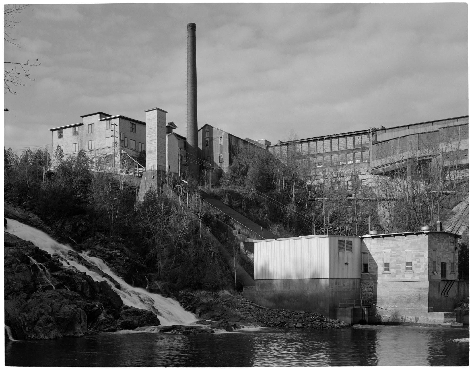
VT Marble Mill Complex

Sedum takes in the view - 11/20/11
View at Lefforts

A solitary fishing line
view from the single track
fire island

Walking to Mt Zion - Explored
a place in the clouds

Falls of Lana
The Path to Mt. Zion
at the edge of light
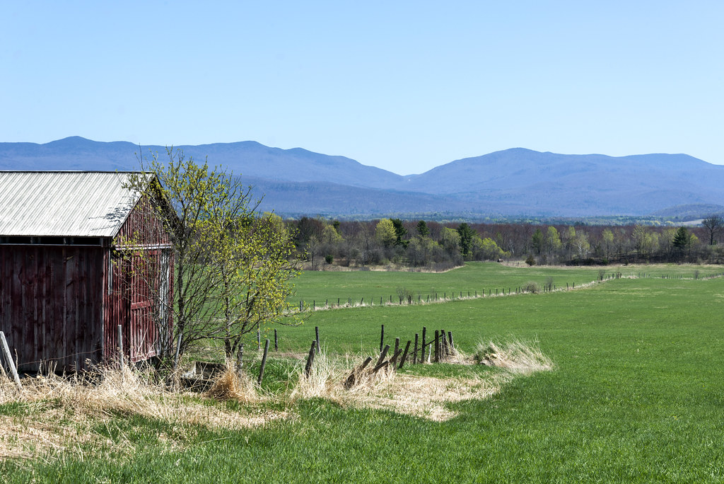
Green Grass of Home
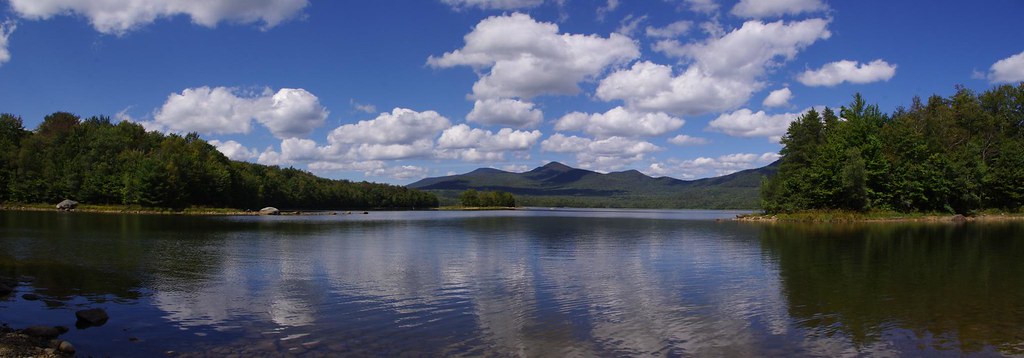
Chittenden Reservoir
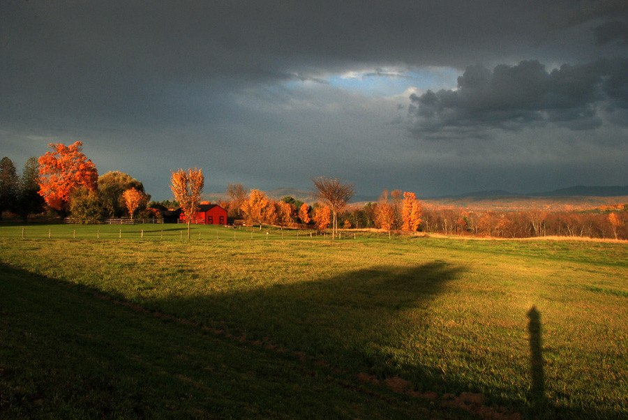
as the light moves across the landscape
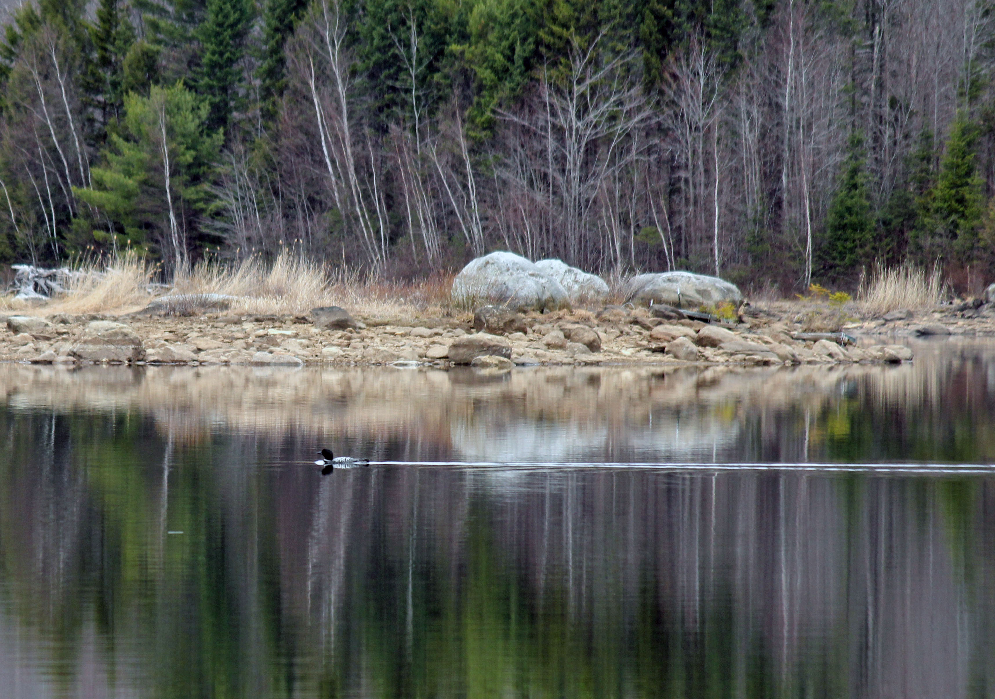
Loon - 5/1/15

No Editing, I Swear #vermont #802 #vt #sky #trees #ice #beautiful #pretty #blue #igmood #winter #snow
Sedum enjoys her stroll - 10/4/12
IMGP0139 copy
Topographic Map of Birch Hill Rd, Brandon, VT, USA
Find elevation by address:

Places near Birch Hill Rd, Brandon, VT, USA:
Forest Dale Road
Brandon
Brandon
6 Park St, Brandon, VT, USA
Brandon House Of Pizza
49 Center St
1182 Wheeler Rd
19 Sunset Dr
19 Sunset Dr
125 Steinberg Rd
Goshen
563 Westside Dr
362 Leicester-whiting Rd
U.s. 7
Salisbury
W Shore Rd, Salisbury, VT, USA
Brandon Mountain Rd, Rochester, VT, USA
Middlebury College Snow Bowl
VT-, Hancock, VT, USA
1320 Vt-125
Recent Searches:
- Elevation of Corso Fratelli Cairoli, 35, Macerata MC, Italy
- Elevation of Tallevast Rd, Sarasota, FL, USA
- Elevation of 4th St E, Sonoma, CA, USA
- Elevation of Black Hollow Rd, Pennsdale, PA, USA
- Elevation of Oakland Ave, Williamsport, PA, USA
- Elevation of Pedrógão Grande, Portugal
- Elevation of Klee Dr, Martinsburg, WV, USA
- Elevation of Via Roma, Pieranica CR, Italy
- Elevation of Tavkvetili Mountain, Georgia
- Elevation of Hartfords Bluff Cir, Mt Pleasant, SC, USA