Elevation of 6 Park St, Brandon, VT, USA
Location: United States > Vermont > Rutland County > Brandon > Brandon >
Longitude: -73.087621
Latitude: 43.7983193
Elevation: 130m / 427feet
Barometric Pressure: 100KPa
Elevation Map:
Satellite Map:
Related Photos:

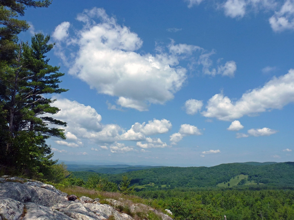
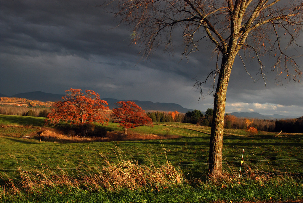
Brandon Gap

35.27
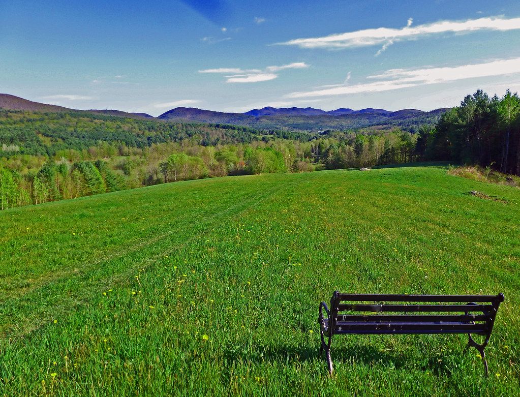
Bench View II

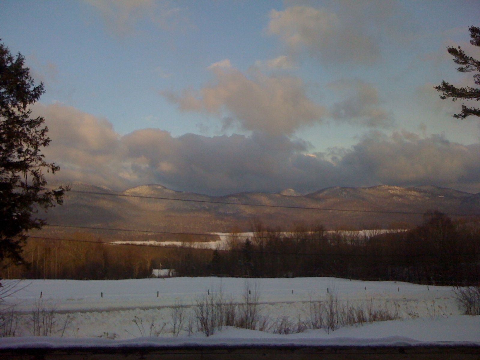
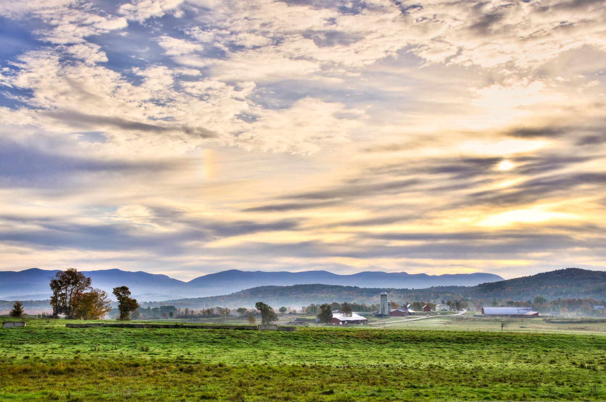
Big Mountain View to Brandon

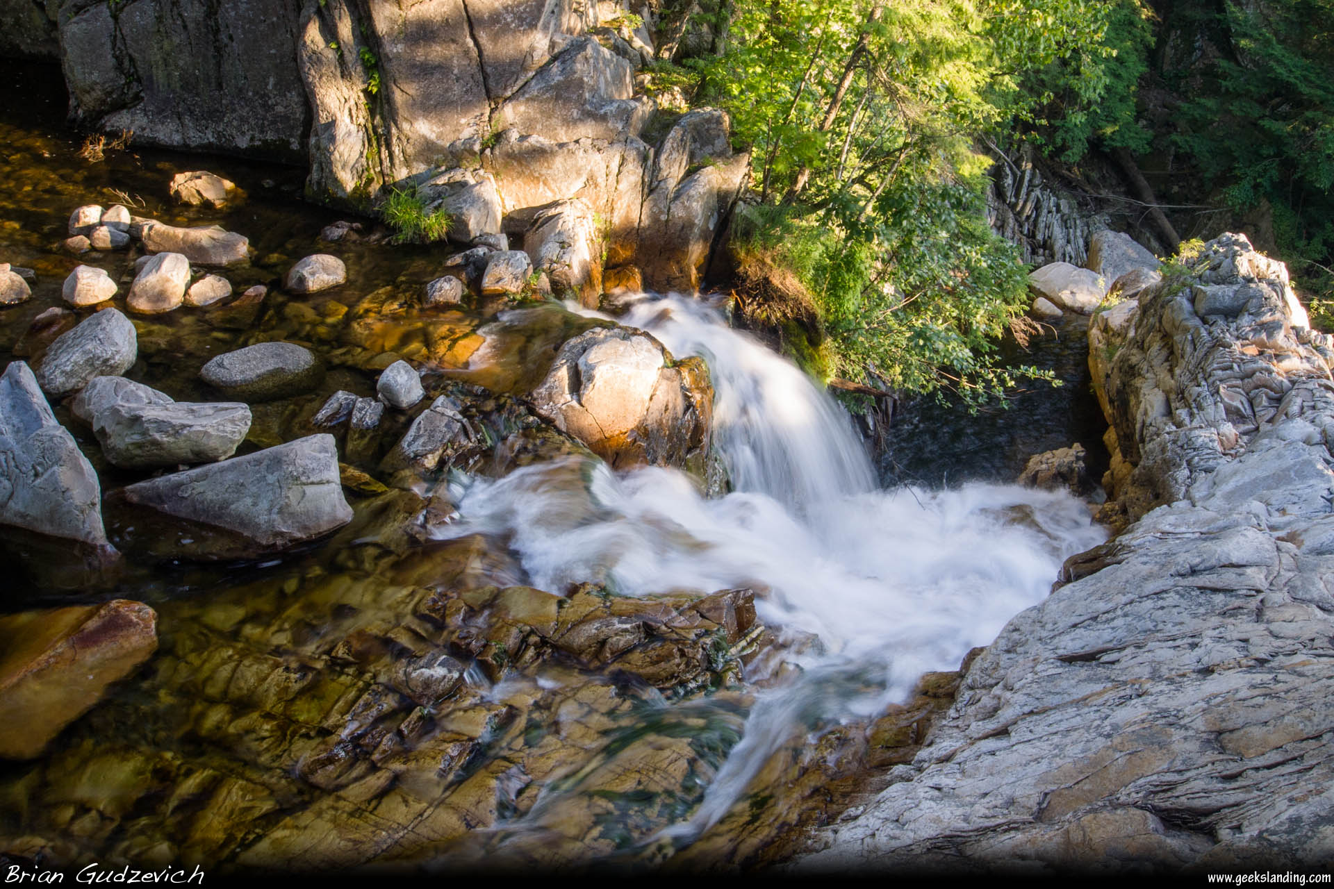
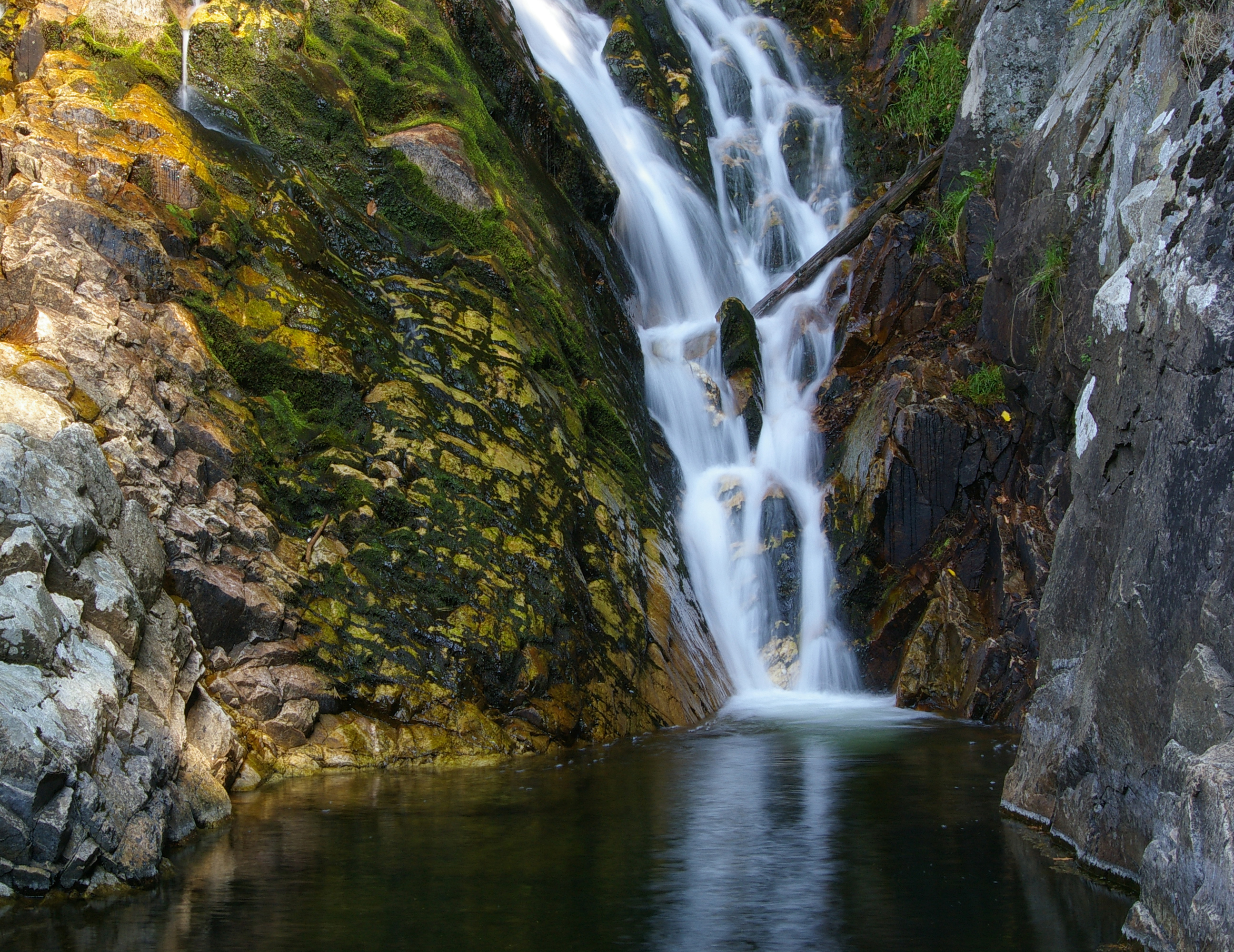
Falls of Lana - Vermont
Big Sky

Overlooking Lake Dunmore
Mountain Top Inn view
Down The Falls

Framed Falls

Into the Sun

Great Cliffs
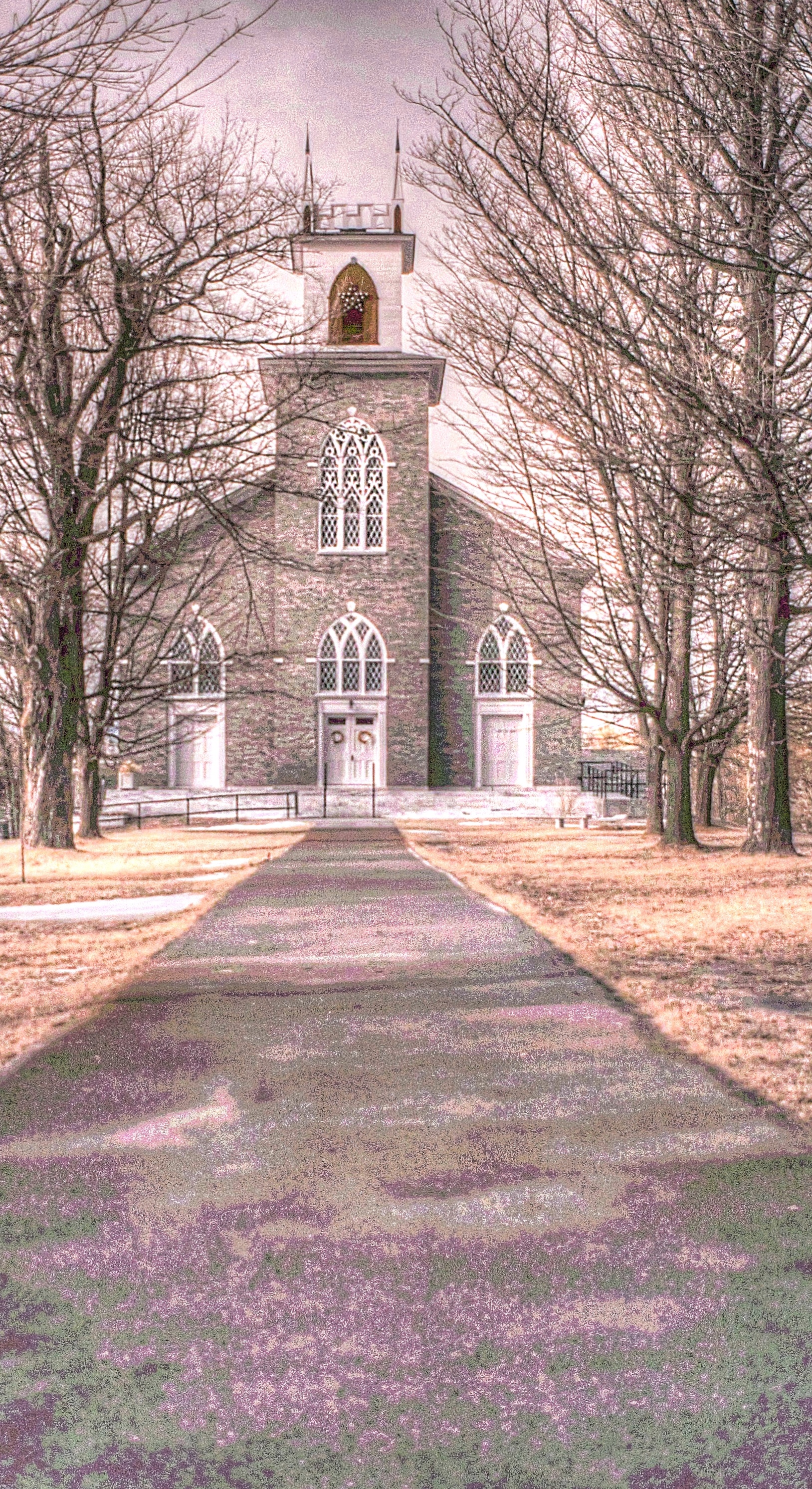
Pittsford Congregational Church [infrared]
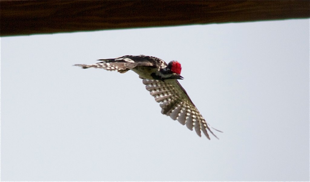
Yellow-bellied Sapsucker

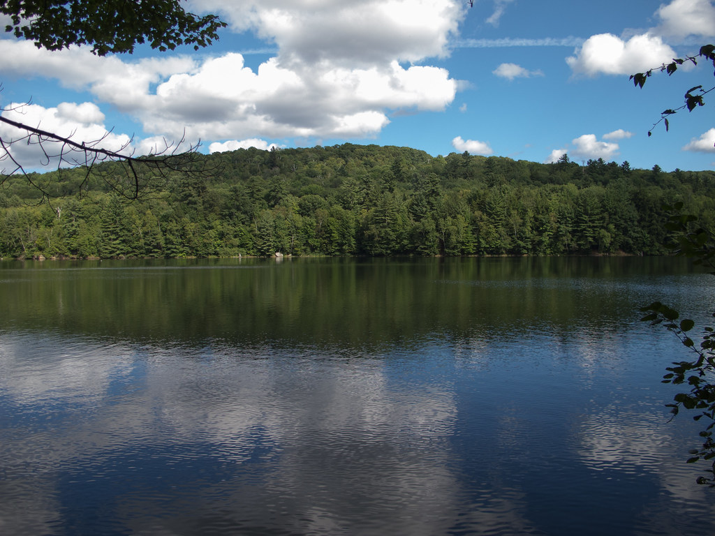
Tree Through A Rock Over A Lake
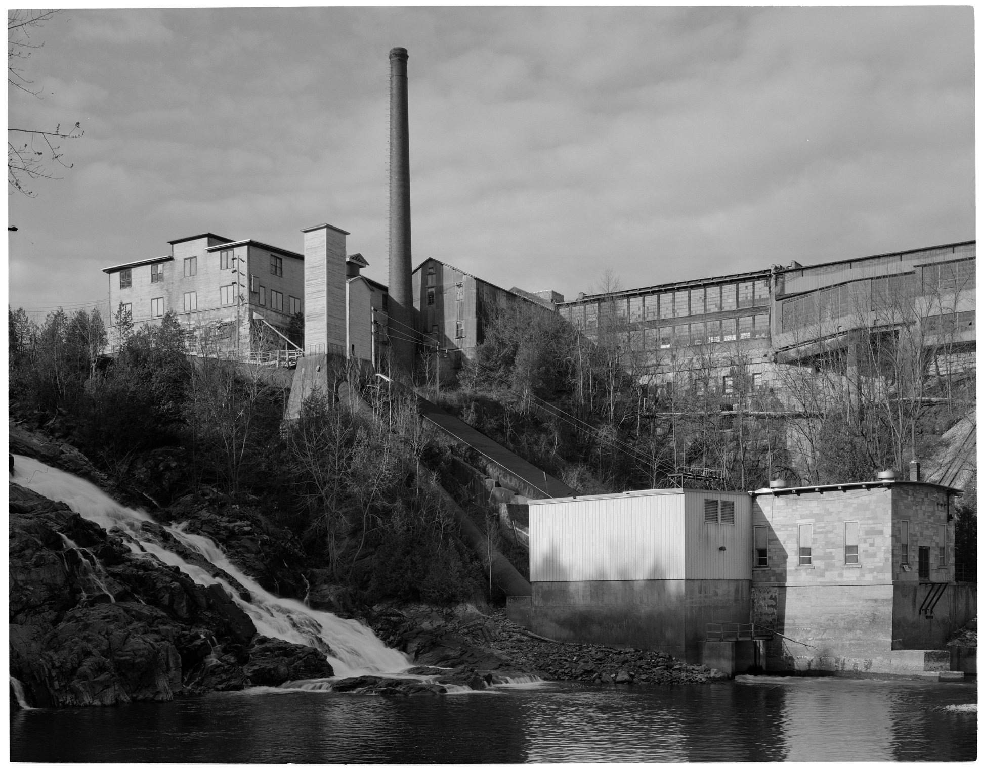
VT Marble Mill Complex

Sedum takes in the view - 11/20/11

Cedar Swamp Covered Bridge (1865) - exit view to Salisbury
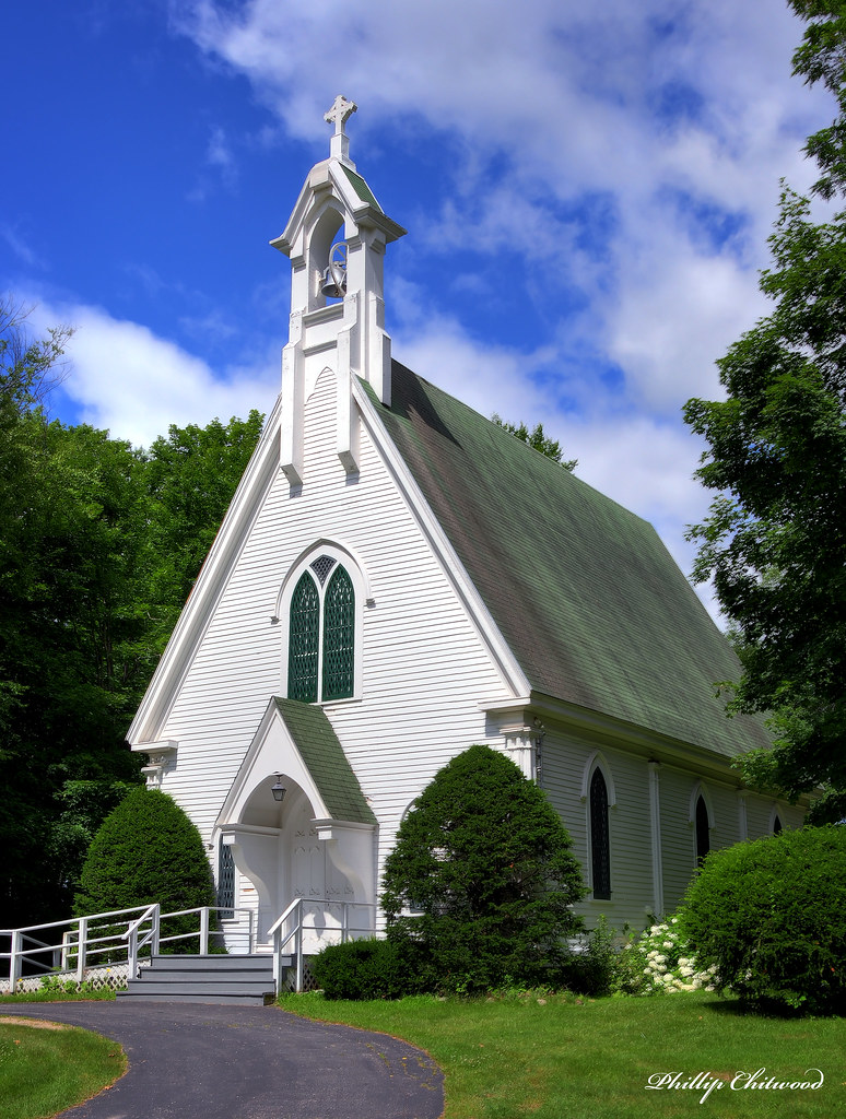
Grace Episcopal Church

A solitary fishing line
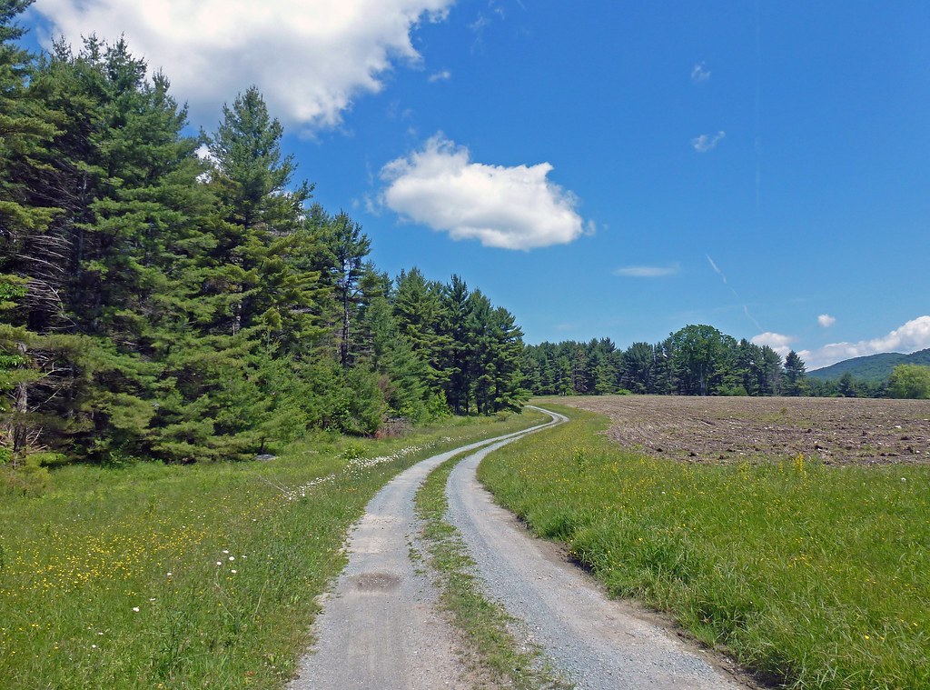
view from the single track

Sheep Grazing

I don't mind getting lost here

Walking to Mt Zion - Explored
The Path to Mt. Zion

Black Pond Reflections
at the edge of light
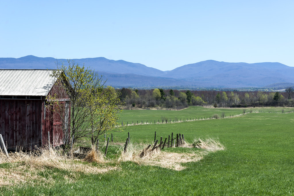
Green Grass of Home
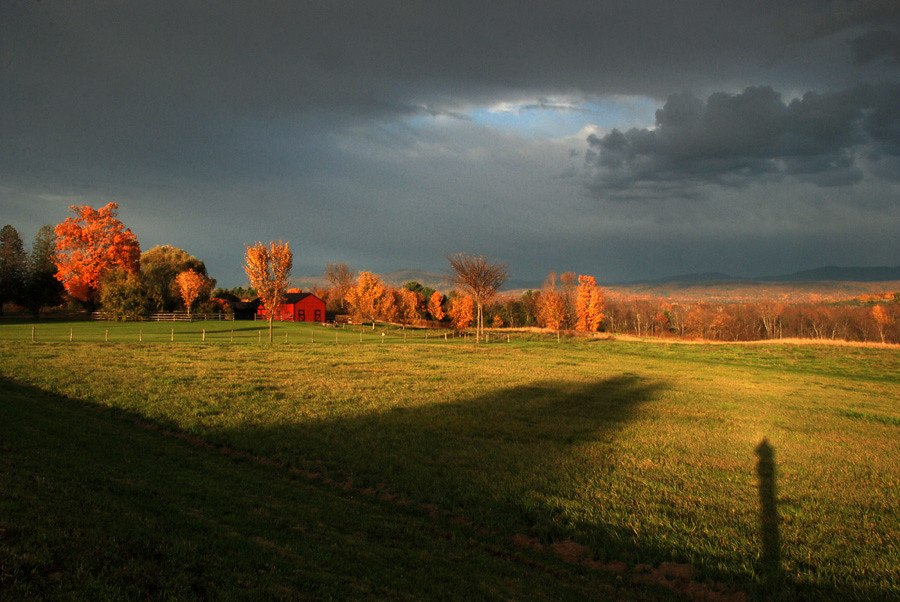
as the light moves across the landscape

No Editing, I Swear #vermont #802 #vt #sky #trees #ice #beautiful #pretty #blue #igmood #winter #snow
IMGP0139 copy

Falls of Lana
D90-5922A

Upper Falls
Topographic Map of 6 Park St, Brandon, VT, USA
Find elevation by address:

Places near 6 Park St, Brandon, VT, USA:
Brandon
Brandon
Brandon House Of Pizza
49 Center St
Forest Dale Road
19 Sunset Dr
125 Steinberg Rd
19 Sunset Dr
1182 Wheeler Rd
2550 Birch Hill Rd
362 Leicester-whiting Rd
U.s. 7
563 Westside Dr
Salisbury
Goshen
W Shore Rd, Salisbury, VT, USA
Middlebury College Snow Bowl
VT-, Hancock, VT, USA
1320 Vt-125
Brandon Mountain Rd, Rochester, VT, USA
Recent Searches:
- Elevation of Corso Fratelli Cairoli, 35, Macerata MC, Italy
- Elevation of Tallevast Rd, Sarasota, FL, USA
- Elevation of 4th St E, Sonoma, CA, USA
- Elevation of Black Hollow Rd, Pennsdale, PA, USA
- Elevation of Oakland Ave, Williamsport, PA, USA
- Elevation of Pedrógão Grande, Portugal
- Elevation of Klee Dr, Martinsburg, WV, USA
- Elevation of Via Roma, Pieranica CR, Italy
- Elevation of Tavkvetili Mountain, Georgia
- Elevation of Hartfords Bluff Cir, Mt Pleasant, SC, USA