Elevation of Bourne Rd, Plymouth, MA, USA
Location: United States > Massachusetts > Plymouth County > Plymouth >
Longitude: -70.606892
Latitude: 41.8172184
Elevation: 34m / 112feet
Barometric Pressure: 101KPa
Elevation Map:
Satellite Map:
Related Photos:
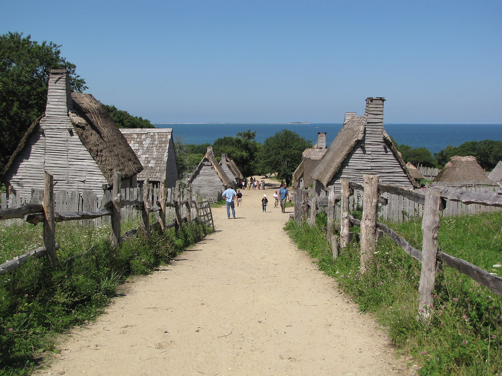
Plimoth Plantation - 1627 English Village
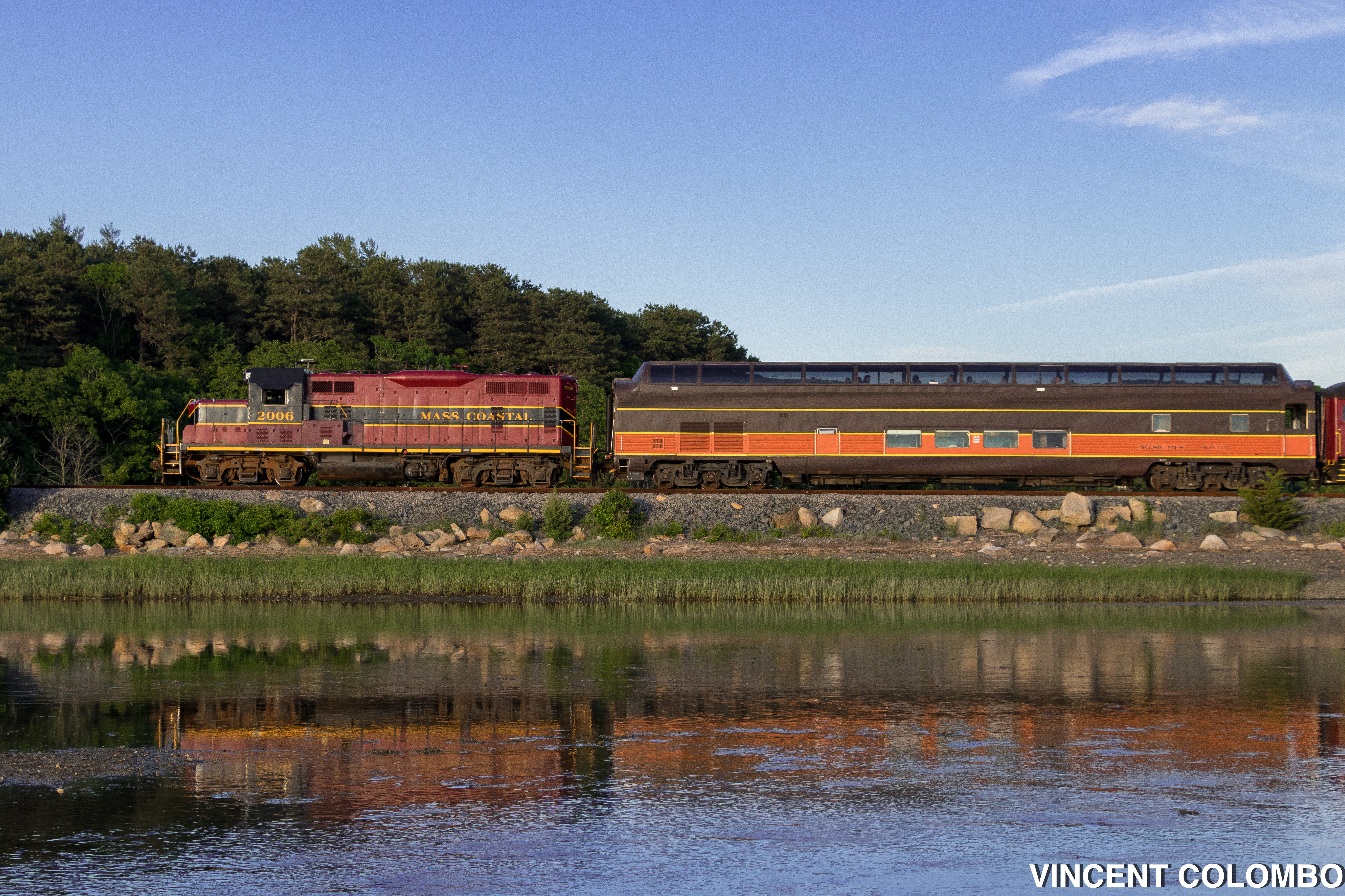
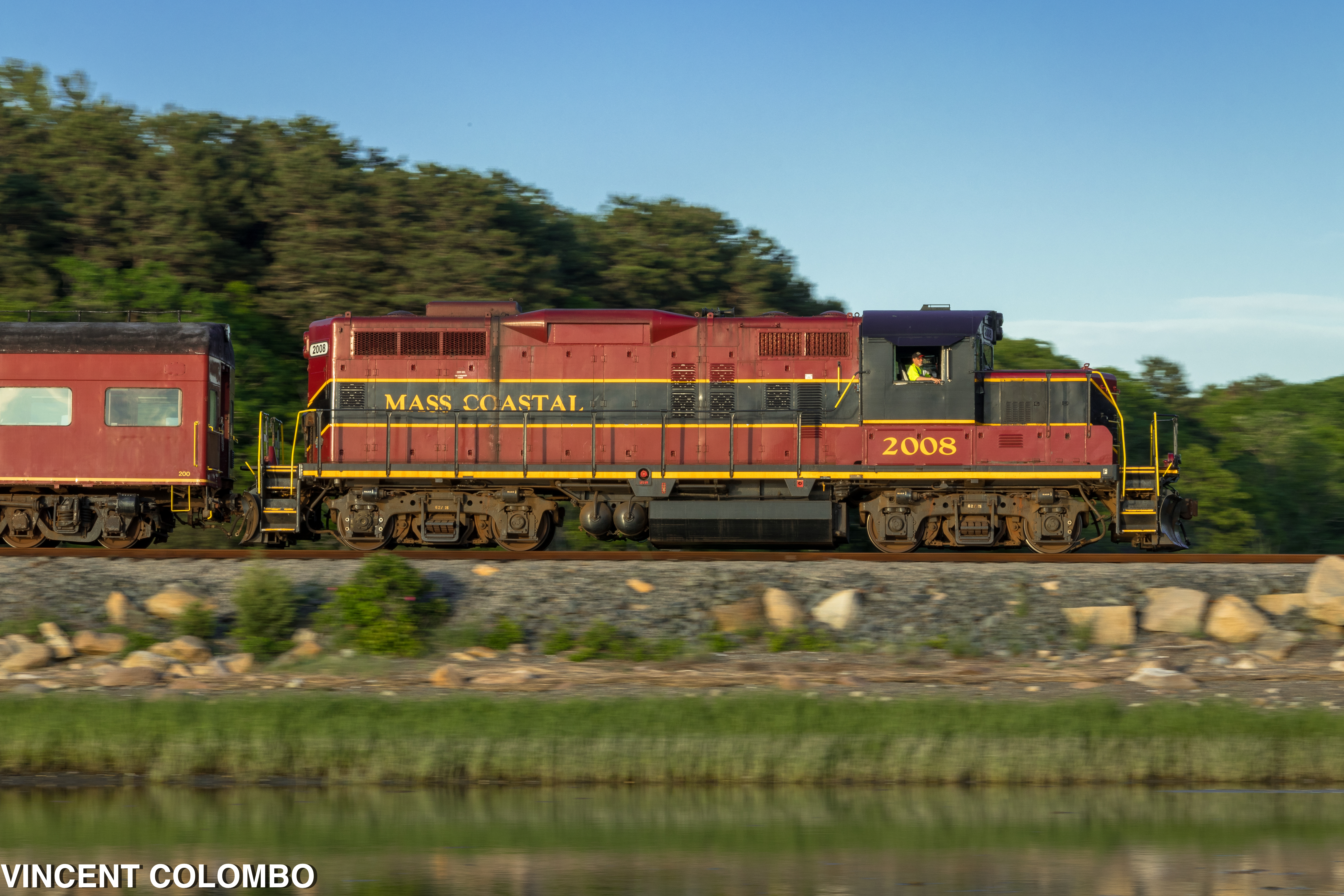
Santa Fe's Cape Cod Subdivision
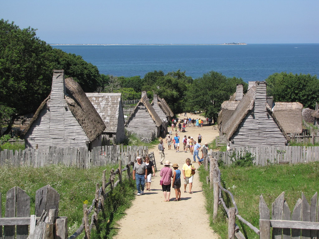
Plimoth Plantation - 1627 English Village
Dinner With a View

Caitlin & Luke.
King Eider

O HAI

After Peebles Elementary School Arbor Day Assembly, school children, GC members, parents , community leaders viewed Aptucxet junior gardeners plant 3 Catalpa saplings, assisted by historian John York

Clouded Beach
Dad looks at the marshland view from the end of the boardwalk.

Autumn daisies
307/365 - Five Mile Pond, Kind of Blue

Backdoor View

189/365 - Boats at Rest
Solitary drop

Savannah Sparrow (Passerculus sandwichensis princeps) - Ipswich form - dorsal view

view from burial hill
Another View
Red Brook Harbor, Cataumet

Indonesian training ship KRI Dewaruci

sunburst thru the clouds shines on the KRI Dewaruci

Town Neck

Boardwalk Beach
East Head Pond

Need A Northbound

Red Light

Scusset Beach Sunset

Sunset from Scusset Beach Jetty

Stormy Sunset
Morning Glow

Sunset at Scusset Beach

Manomet Point

Storm over the Water

Scusset Beach Sunset
Manomet Point

Golden Sunset
Makepeace Farms, Wareham
Crossed Off
Track Lines

Manomet Point
SANDWICH CLOUDS TWO NAE
Morning at the Point
Topographic Map of Bourne Rd, Plymouth, MA, USA
Find elevation by address:

Places near Bourne Rd, Plymouth, MA, USA:
84 Gunning Point Rd
164 Raymond Rd
7 Compton Ct
2 White Spruce Ln
370 Little Sandy Pond Rd
166 Plymouth Ave
Shore Road
14 Standish Ave
37 Alewife Rd
179 Lake Dr
70 Alewife Rd
21 Yearling Run Rd
10 Brigatine Passage Dr
39 Cypress St
17 Janebar Cir
235 Head Of The Bay Rd
1 Glacier Way
34 Wedgestone Dr
8 Old County Rd
7 Snow Cir
Recent Searches:
- Elevation of Corso Fratelli Cairoli, 35, Macerata MC, Italy
- Elevation of Tallevast Rd, Sarasota, FL, USA
- Elevation of 4th St E, Sonoma, CA, USA
- Elevation of Black Hollow Rd, Pennsdale, PA, USA
- Elevation of Oakland Ave, Williamsport, PA, USA
- Elevation of Pedrógão Grande, Portugal
- Elevation of Klee Dr, Martinsburg, WV, USA
- Elevation of Via Roma, Pieranica CR, Italy
- Elevation of Tavkvetili Mountain, Georgia
- Elevation of Hartfords Bluff Cir, Mt Pleasant, SC, USA