Elevation of Plymouth Ave, East Wareham, MA, USA
Longitude: -70.636713
Latitude: 41.7983979
Elevation: 26m / 85feet
Barometric Pressure: 101KPa
Elevation Map:
Satellite Map:
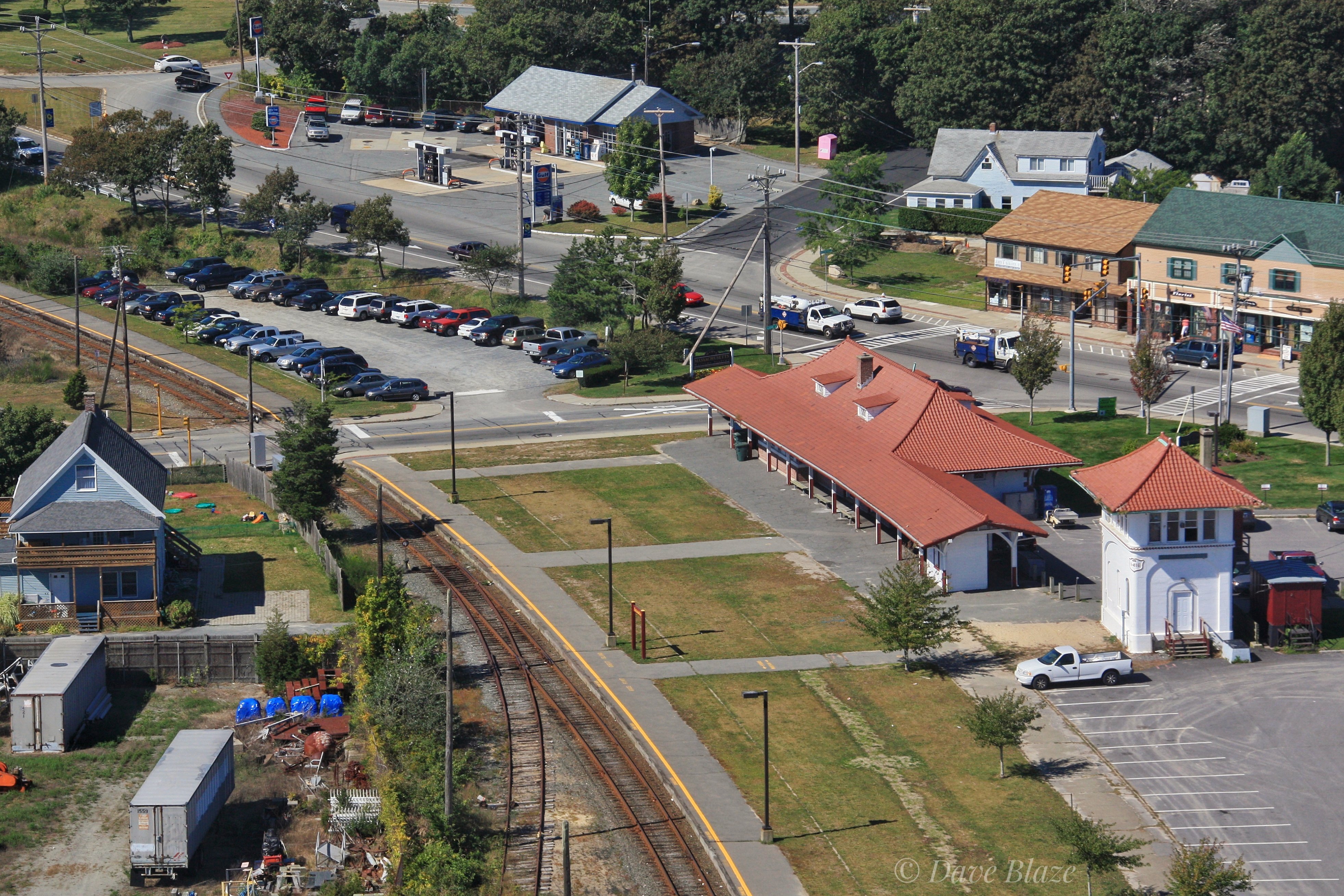
Related Photos:

Cape Cod Canal, Bourne, Massachusetts

Classic Cape
Bulldog On The Bridge

Stepping Out Onto The Bridge
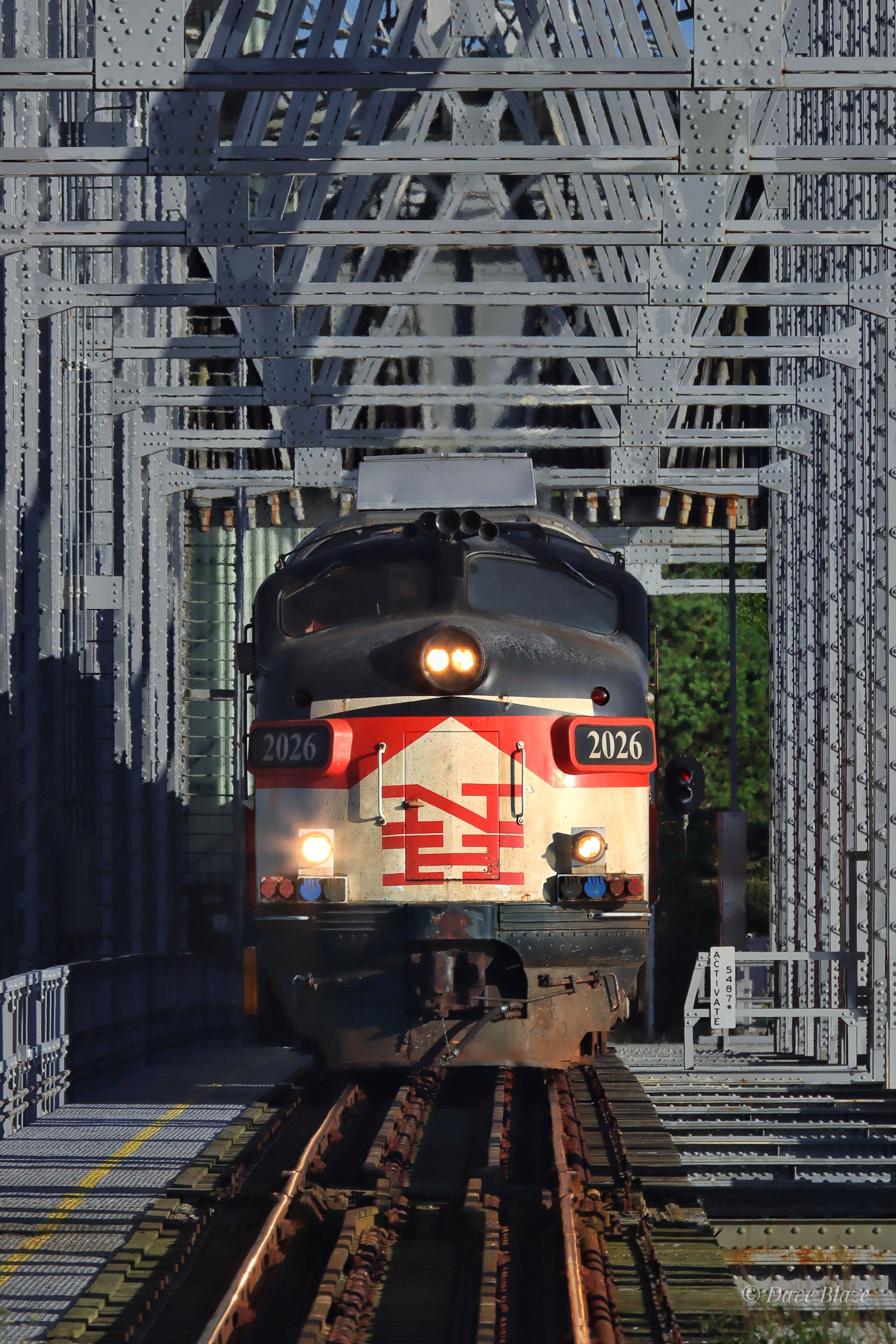
FL9 Fix

Picture Perfect Pocasset Pause

Tall Bridge

Beneath The Castle - Take 2

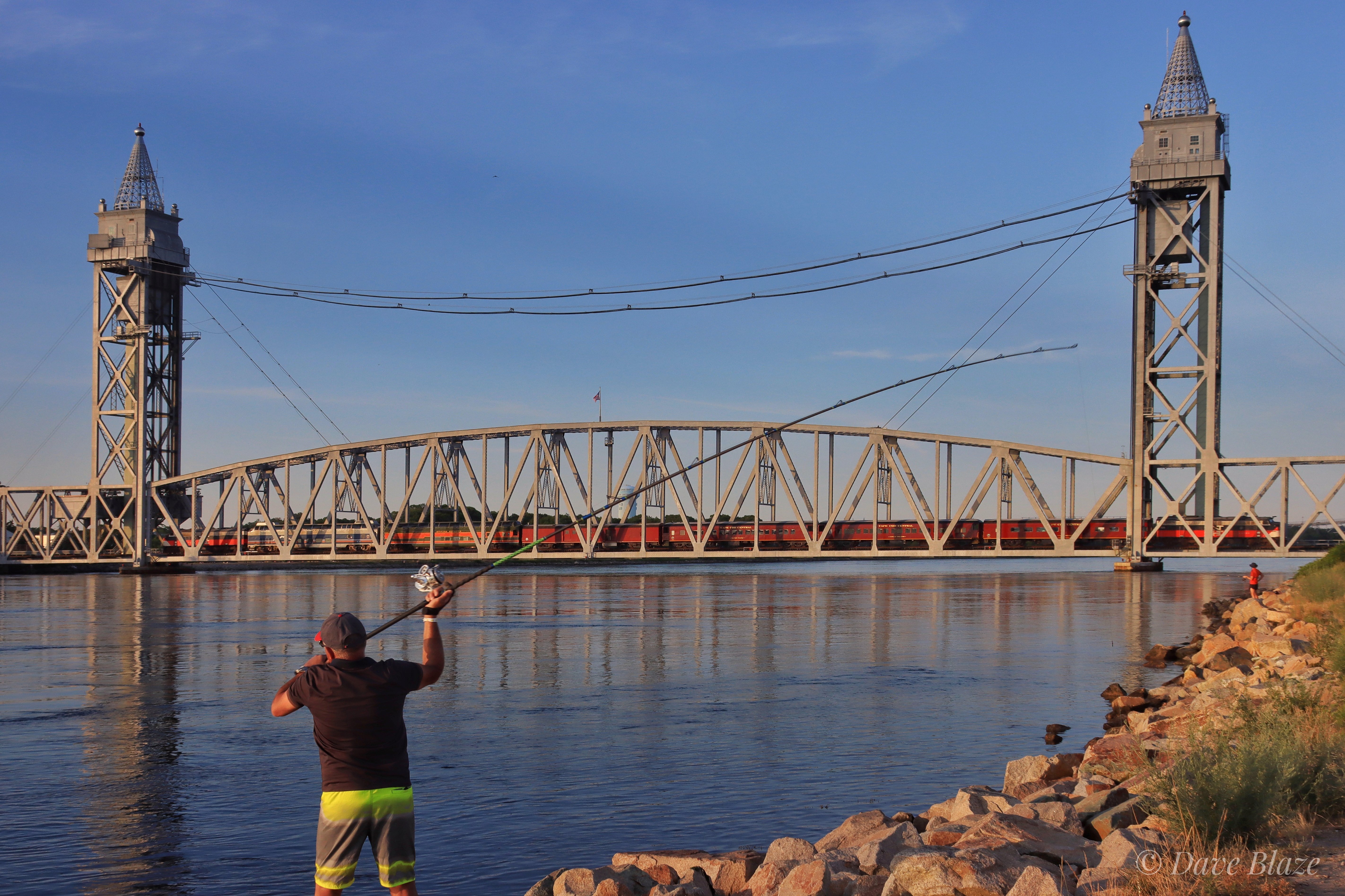
Casting About On The Cape
Evening At Monks Cove

Canal Junction
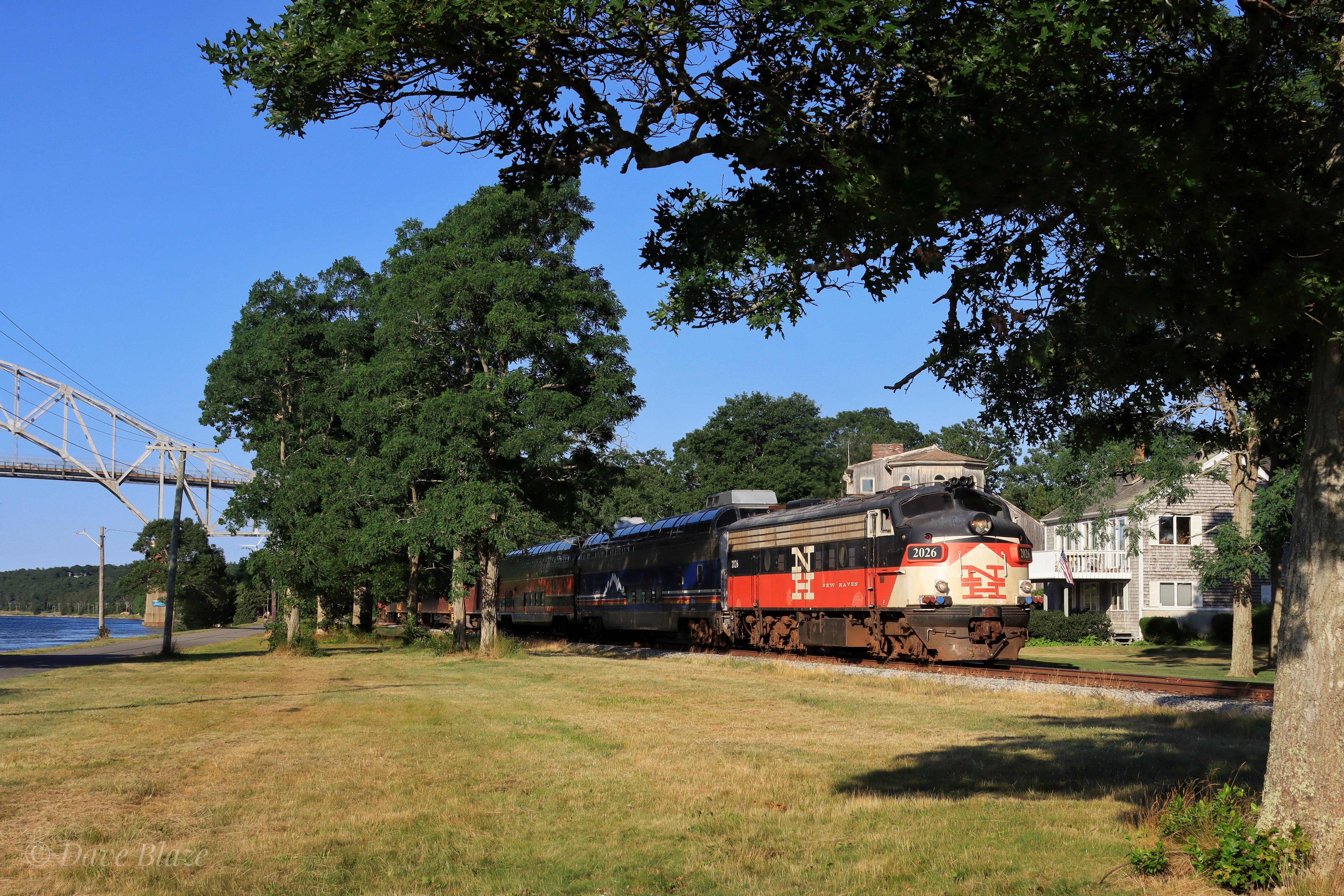
Back At The Bridge

Exploring at Barlow’s Landing

Killing Time

Dinner Along The Canal

Weighing the Bourne Bridge, November 14, 1934

Danger - FL9!

Cape Cod Canal, Bourne, Massachusetts

Canal Junction

Monk's Cove Sunset
No Drone!

Another Beautiful Sunrise on the Cove

Marsh Sunrise

Fire Over the Saltmarsh(High ISO hand-held shot. Wished I had my triped, but no time)

Waves Breaking on the Jetty

To the Beach

Sunset After the Thunderstorm (9 shot vertical pano)

Cloudy Day at the Beach

Spring Comes to the Saltmarsh

Big Wave Day at the Beach

Ice Flows on the Canal

#bobbiandleesphotoadventures #welltraveled in #wareham in the #cranberrybog . . . . . . #justgoshoot #colorlove #colorhunters #acolorstory #toldwithexposure

Red Light

Scusset Beach Jetty

Crossed Off

Onset, MA

Kingman yacht center

Tangled in Stars and Firelight

Sunset from Scusset Beach Jetty

Red X

Landscape view of small pond

Sky Above, Raft Below
Topographic Map of Plymouth Ave, East Wareham, MA, USA
Find elevation by address:

Places near Plymouth Ave, East Wareham, MA, USA:
14 Standish Ave
179 Lake Dr
204 Glen Charlie Rd
39 Cypress St
2 White Spruce Ln
84 Gunning Point Rd
449 Bourne Rd
59 Wychunas Ave
16 Monack Rd
16 Monack Rd
164 Raymond Rd
Spectacle Pond
44 Salt Works Rd
7 Compton Ct
38 Algonquin St
3 Salt Works Rd
65 Ryder St
22 Arrowhead Dr
110 Choctaw Dr
57 Bay Pointe Dr Ext
Recent Searches:
- Elevation of Corso Fratelli Cairoli, 35, Macerata MC, Italy
- Elevation of Tallevast Rd, Sarasota, FL, USA
- Elevation of 4th St E, Sonoma, CA, USA
- Elevation of Black Hollow Rd, Pennsdale, PA, USA
- Elevation of Oakland Ave, Williamsport, PA, USA
- Elevation of Pedrógão Grande, Portugal
- Elevation of Klee Dr, Martinsburg, WV, USA
- Elevation of Via Roma, Pieranica CR, Italy
- Elevation of Tavkvetili Mountain, Georgia
- Elevation of Hartfords Bluff Cir, Mt Pleasant, SC, USA