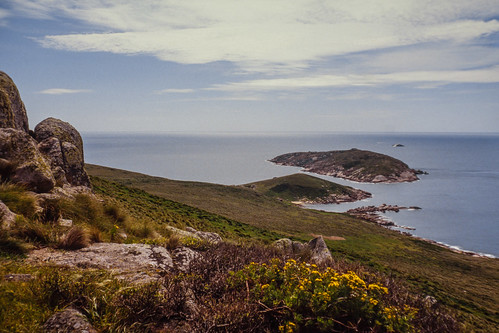
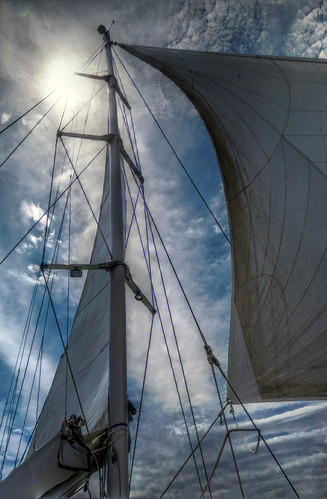
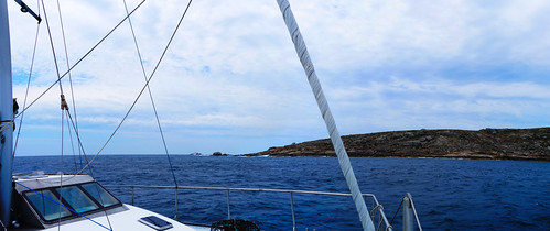
Elevation of Boundary Islet, Tasmania, Australia
Longitude: 147.021552
Latitude: -39.198469
Elevation: 0m / 0feet
Barometric Pressure: 101KPa
Related Photos:
Topographic Map of Boundary Islet, Tasmania, Australia
Find elevation by address:

Places near Boundary Islet, Tasmania, Australia:
21 Fisher St
Fisher Street
Manns Beach
8 Gowrie Rise
Panorama Drive
Panorama Drive
Woodside Beach
Alberton
Wilsons Promontory National Park
794 Woorarra Rd
Woorarra East
Toora North
Seaspray
115 Mount Best Tin Mine Rd
Springrove
Holey Plains State Park
Garretts Road
175 Boggy Creek Rd
Lake Reeve
108 Zacher Rd
Recent Searches:
- Elevation of Corso Fratelli Cairoli, 35, Macerata MC, Italy
- Elevation of Tallevast Rd, Sarasota, FL, USA
- Elevation of 4th St E, Sonoma, CA, USA
- Elevation of Black Hollow Rd, Pennsdale, PA, USA
- Elevation of Oakland Ave, Williamsport, PA, USA
- Elevation of Pedrógão Grande, Portugal
- Elevation of Klee Dr, Martinsburg, WV, USA
- Elevation of Via Roma, Pieranica CR, Italy
- Elevation of Tavkvetili Mountain, Georgia
- Elevation of Hartfords Bluff Cir, Mt Pleasant, SC, USA


