Elevation of Boaz, AL, USA
Location: United States > Alabama > Etowah County >
Longitude: -86.152096
Latitude: 34.2031662
Elevation: 334m / 1096feet
Barometric Pressure: 97KPa
Elevation Map:
Satellite Map:
Related Photos:

Alabama "vintage car graveyard" abandoned automobiles

Old Tractor

Alabama "vintage car graveyard" abandoned automobiles

Alabama "vintage car graveyard" abandoned automobiles

Snead State Community College, aerial view

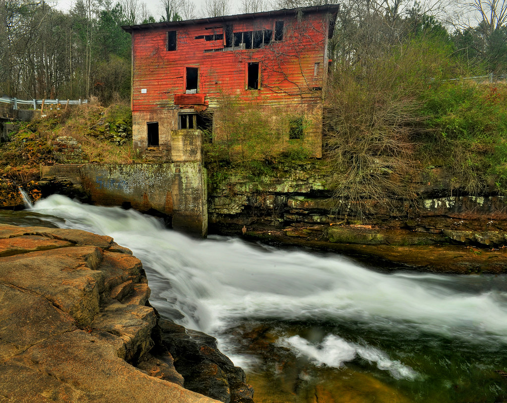
Rapids and Red
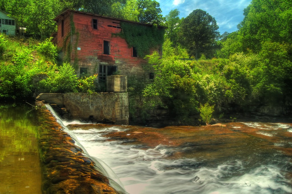
Red Mill

Red Mill

Red Mill

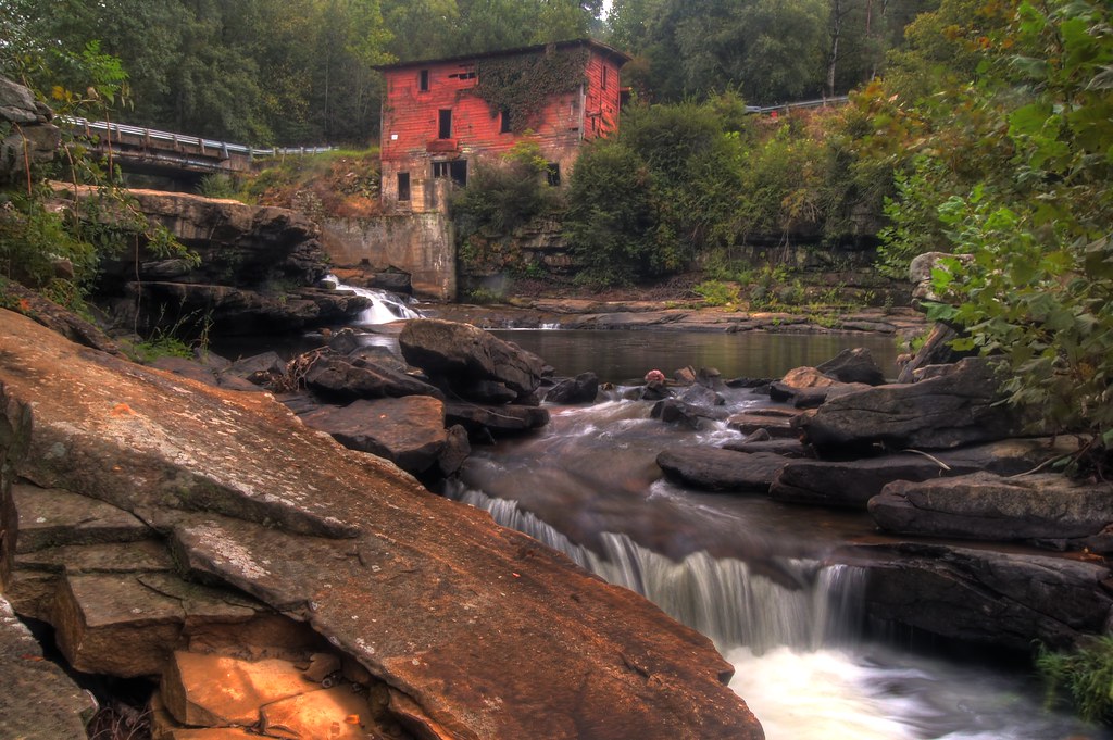
Scarham Creek
Red Mills and Blue Skies
Red Mill

A Solitary Place
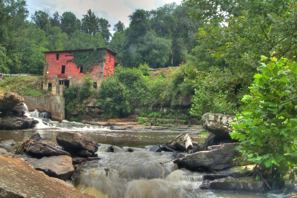
The Red Mill
Seeking Curves II
Topographic Map of Boaz, AL, USA
Find elevation by address:

Places in Boaz, AL, USA:
AL-, Boaz, AL, USA
AL-, Boaz, AL, USA
Bristow Cove Rd, Boaz, AL, USA
Bristow Cove Rd, Boaz, AL, USA
19 N Maple St, Boaz, AL, USA
24 Sunview Pl, Boaz, AL, USA
Old Georgia Rd, Boaz, AL, USA
Co Rd 26, Boaz, AL, USA
AL-, Boaz, AL, USA
Sardis Dr, Boaz, AL, USA
Cox Gap Rd, Boaz, AL, USA
Co Rd 26, Boaz, AL, USA
Skyhaven Rd, Boaz, AL, USA
Whitesboro Rd, Boaz, AL, USA
Roden Avenue
Places near Boaz, AL, USA:
1520 Bethsaida Rd
Roden Avenue
803 N Main St
1247 Martin Rd N
Skyhaven Rd, Boaz, AL, USA
AL-, Boaz, AL, USA
Baltimore Ave, Albertville, AL, USA
1776 S Broad St
AL-, Boaz, AL, USA
702 Shasta Dr
Albertville
AL-, Boaz, AL, USA
58 Maple Dr
Albertville, AL, USA
Co Rd 91, Albertville, AL, USA
38 Horton-Nixon Chapel Rd, Horton, AL, USA
Horton
216 Horton-nixon Chapel Rd
Oneonta Cut-Off Rd, Albertville, AL, USA
206 Old Oneonta Rd
Recent Searches:
- Elevation of Corso Fratelli Cairoli, 35, Macerata MC, Italy
- Elevation of Tallevast Rd, Sarasota, FL, USA
- Elevation of 4th St E, Sonoma, CA, USA
- Elevation of Black Hollow Rd, Pennsdale, PA, USA
- Elevation of Oakland Ave, Williamsport, PA, USA
- Elevation of Pedrógão Grande, Portugal
- Elevation of Klee Dr, Martinsburg, WV, USA
- Elevation of Via Roma, Pieranica CR, Italy
- Elevation of Tavkvetili Mountain, Georgia
- Elevation of Hartfords Bluff Cir, Mt Pleasant, SC, USA